The best walks and hikes around Cenicientos
4.5
(104)
678
hikers
71
hikes
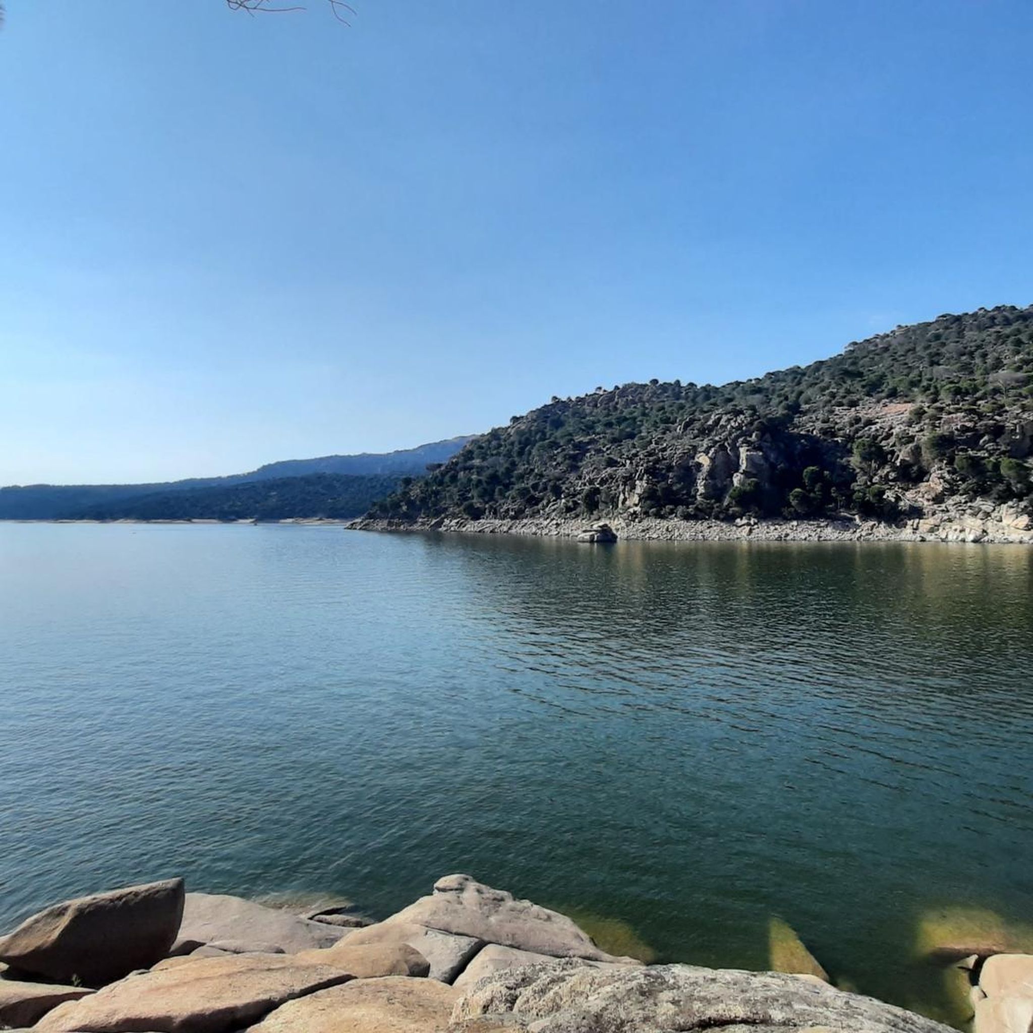
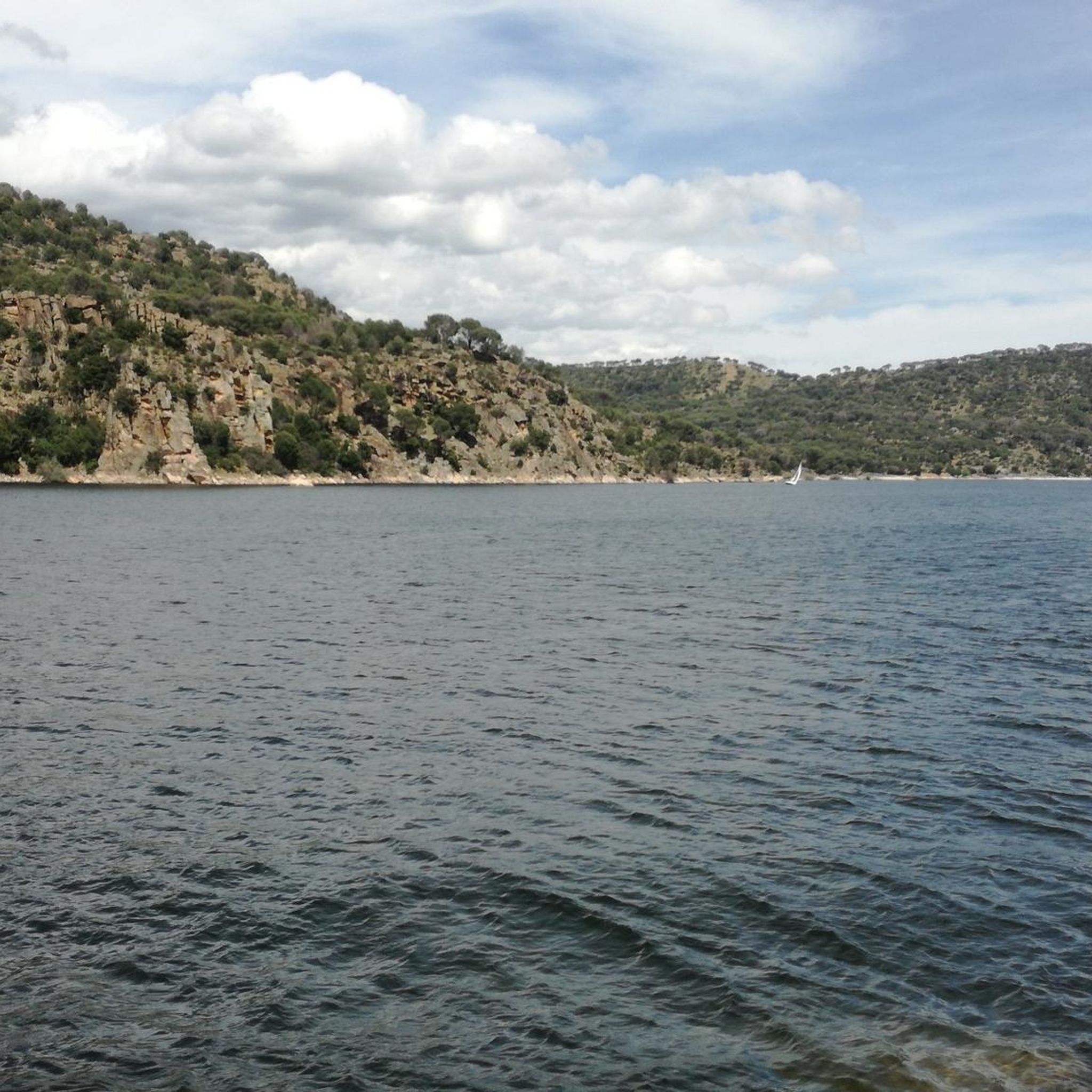
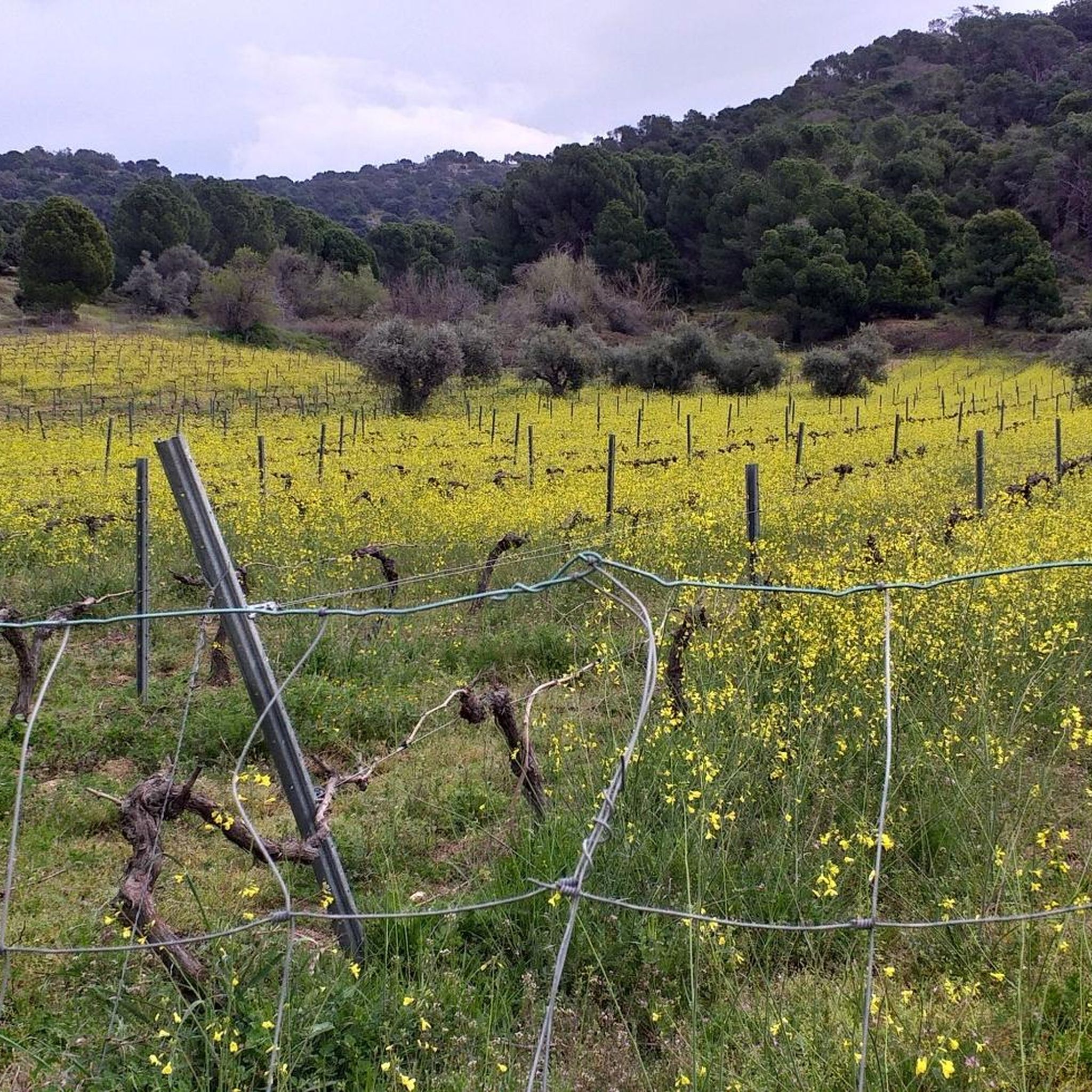
Hiking around Cenicientos offers access to varied landscapes within the Madrid region, characterized by rolling hills, valleys, and prominent rock formations. The area features a mix of open countryside and wooded sections, providing diverse environments for exploration. Trails often follow natural contours, with some routes leading to elevated viewpoints. The region's geology contributes to its distinct hiking terrain.
Best hiking trails around Cenicientos
- The most popular hiking route is Valle del Tiétar — circular desde Sotillo de la Adrada,…
Last updated: August 18, 2026
3.8
(4)
8
hikers
13.9km
03:39
110m
110m
Moderate hike. Good fitness required. Easily-accessible paths. Suitable for all skill levels.
4.0
(2)
6
hikers
16.0km
04:28
300m
310m
Moderate hike. Good fitness required. Easily-accessible paths. Suitable for all skill levels.

Sign up for free
4.2
(6)
42
hikers
11.7km
03:45
430m
430m
Moderate hike. Good fitness required. Mostly accessible paths. Sure-footedness required.
3.6
(7)
10
hikers
8.32km
02:13
90m
90m
Moderate hike. Good fitness required. Easily-accessible paths. Suitable for all skill levels.
4.0
(2)
7
hikers
13.6km
03:50
290m
290m
Moderate hike. Good fitness required. Easily-accessible paths. Suitable for all skill levels.
Get access to more routes and recommendations from other explorers.
Sign up for free
Already have an account?
Our route recommendations are based on thousands of hikes, rides, and runs completed by other people on komoot.
Start today with a free account
Your next adventure awaits.
Login or Signup


Tips from the Community

The Mosquea Bridge is located in La Adrada, Ávila, and is part of the Medieval Bridges Route that crosses the Tiétar River. It's an ideal place to enjoy a peaceful walk surrounded by nature, with views of beautiful holm oaks, pines, and junipers. The route is easy to walk and suitable for almost everyone.
5
0


The Mosquea Bridge is a bridge of Roman origin over the Tiétar River. It stands out for its age and beauty, and is also one of the largest in the municipality of La Adrada. It is located on the important Mesta ravine.
3
0

Close to the Puente Chico is the Puente Mosquea and where both are located in the Vall del Tiétar, an area of crops and forests to the south of the Sierra de Gredos. It is worth deviating from the path to cross this magnificent bridge of Romanesque origin.
1
0
Romanesque bridge that jumps over the Río Tiétar in the same valley that has the same name. It is a bridge known by the inhabitants of the neighboring towns!
1
0

Near the town of Sotillo de La Adrada is this beautiful pond surrounded by a spectacular setting. There are indicative signs in the place.
0
0
Close to the Mosquea Bridge, this picturesque bridge is ideal to add to a family bike route to discover the nature that surrounds this place.
0
0

The Lazarillo trail is a very picturesque route on the outskirts of the town of Almorox through forests and meadows in a beautiful landscape setting.
1
1
Frequently Asked Questions
How many hiking trails are available in Cenicientos?
Cenicientos offers a wide variety of hiking experiences, with over 50 routes documented on komoot. These range from easy strolls to more challenging moderate trails, catering to different fitness levels.
Are there easy hiking trails suitable for beginners in Cenicientos?
Yes, Cenicientos has 13 easy hiking trails perfect for beginners or those looking for a relaxed walk. These routes typically feature gentler terrain and shorter distances, allowing you to enjoy the scenery without significant effort.
What kind of landscapes can I expect to see while hiking around Cenicientos?
The hiking trails around Cenicientos traverse varied landscapes, including rolling hills, picturesque valleys, and distinctive rock formations. You'll encounter a mix of open countryside and wooded sections, providing diverse environments for exploration.
Are there any circular hiking trails in Cenicientos?
Yes, Cenicientos features several excellent circular routes. A popular option is the Peña Cenicientos – Peña de Cenicientos loop from Cenicientos, which takes you through the prominent Peña de Cenicientos. Another great choice is the Valle del Tiétar — circular desde Sotillo de la Adrada, offering a scenic journey through the Tiétar Valley.
What are some interesting places to explore or landmarks to see near the hiking routes?
While hiking, you can discover several points of interest. Consider visiting the Puerto de Casillas – Entrance to the Valle de Iruelas Nature Reserve, or the historic Puente Mosquea. For nature lovers, the Charca de los Cangrejos is also a notable natural monument.
What is the typical duration for hikes in Cenicientos?
Hiking durations vary depending on the route's length and difficulty. For example, the Lazarillo Trail (PR-TO 14), a moderate 9.9-mile (16.0 km) path, typically takes around 4 hours 28 minutes. Shorter, easier trails can be completed in 1-2 hours, while longer moderate routes might take 3-5 hours.
Is Cenicientos a good destination for family-friendly hikes?
Yes, with 13 easy routes, Cenicientos offers several options suitable for families. These trails are generally shorter and have less elevation gain, making them enjoyable for children and those who prefer a more leisurely pace. Look for routes with clear paths and interesting natural features to keep everyone engaged.
What is the best season for hiking in Cenicientos?
The best seasons for hiking in Cenicientos are typically spring (April-May) and autumn (September-October). During these months, the weather is mild and pleasant, with comfortable temperatures and beautiful natural colors. Summer can be very hot, making early morning or late afternoon hikes preferable, while winter can bring cooler temperatures but also offers crisp, clear days.
Are there any viewpoints or scenic spots along the trails?
Many trails in Cenicientos lead to elevated positions, offering panoramic views of the surrounding valleys and hills. The prominent Peña de Cenicientos, for instance, provides excellent vistas. Look for routes that mention 'viewpoints' or 'panoramic' in their descriptions for the best scenic rewards.
What do other hikers say about the trails in Cenicientos?
The hiking routes in Cenicientos are highly regarded by the komoot community, with an average rating of 4.5 stars from over 60 reviews. Hikers often praise the varied terrain, the mix of open and wooded paths, and the distinctive rock formations that define the region's unique character.
Are there options for parking near the trailheads in Cenicientos?
While specific parking details vary by trailhead, Cenicientos and its surrounding villages typically offer public parking areas. It's advisable to check the starting point of your chosen route on komoot for more precise information on nearby parking facilities.
Can I access hiking trails in Cenicientos using public transport?
Cenicientos is accessible by bus from Madrid, which can serve as a starting point for some hikes. For routes beginning in smaller, more remote villages, public transport options might be limited, so planning ahead or considering car access is recommended.
Most popular routes around Cenicientos
Most popular attractions around Cenicientos

Get inspired with the komoot mobile app


Explore more
Browse the best Hikes in other regions.
