The best running trails around Huétor Vega
4.3
(198)
8,983
runners
17
runs
Jogging routes around Huétor Vega traverse a diverse landscape, situated in the fertile Vega of Granada and at the foothills of the Sierra Nevada mountains. The region features gently undulating plains with agricultural areas, including olive and orange groves, alongside paths along the banks of the Rio Monachil. Higher elevation trails extend into the Sierra Nevada foothills and the Sierra de Huétor Natural Park, offering routes through holm oaks, oaks, and maples. This variety provides options ranging from flat, easy…
Last updated: October 7, 2026
5.0
(1)
26
runners
13.7km
01:41
400m
400m
Hard run. Very good fitness required. Mostly paved surfaces. Suitable for all skill levels.
23
runners
16.3km
02:17
760m
760m
Hard run. Very good fitness required. Mostly paved surfaces. Suitable for all skill levels.

16
runners
12.7km
01:34
270m
270m
Moderate run. Good fitness required. Mostly paved surfaces. Suitable for all skill levels.
19
runners
15.5km
01:54
480m
480m
Hard run. Very good fitness required. Mostly paved surfaces. Suitable for all skill levels.
7
runners
5.78km
00:36
30m
30m
Moderate run. Good fitness required. Mostly paved surfaces. Suitable for all skill levels.
Get access to more routes and recommendations from other explorers.
Already have an account?
Our route recommendations are based on thousands of hikes, rides, and runs completed by other people on komoot.
Start today with a free account
Your next adventure awaits.




Tips from the Community

My advice is to follow the course of the Genil
0
0
In the natural course of the Genil, this has several points like this along the Granada plain
0
0
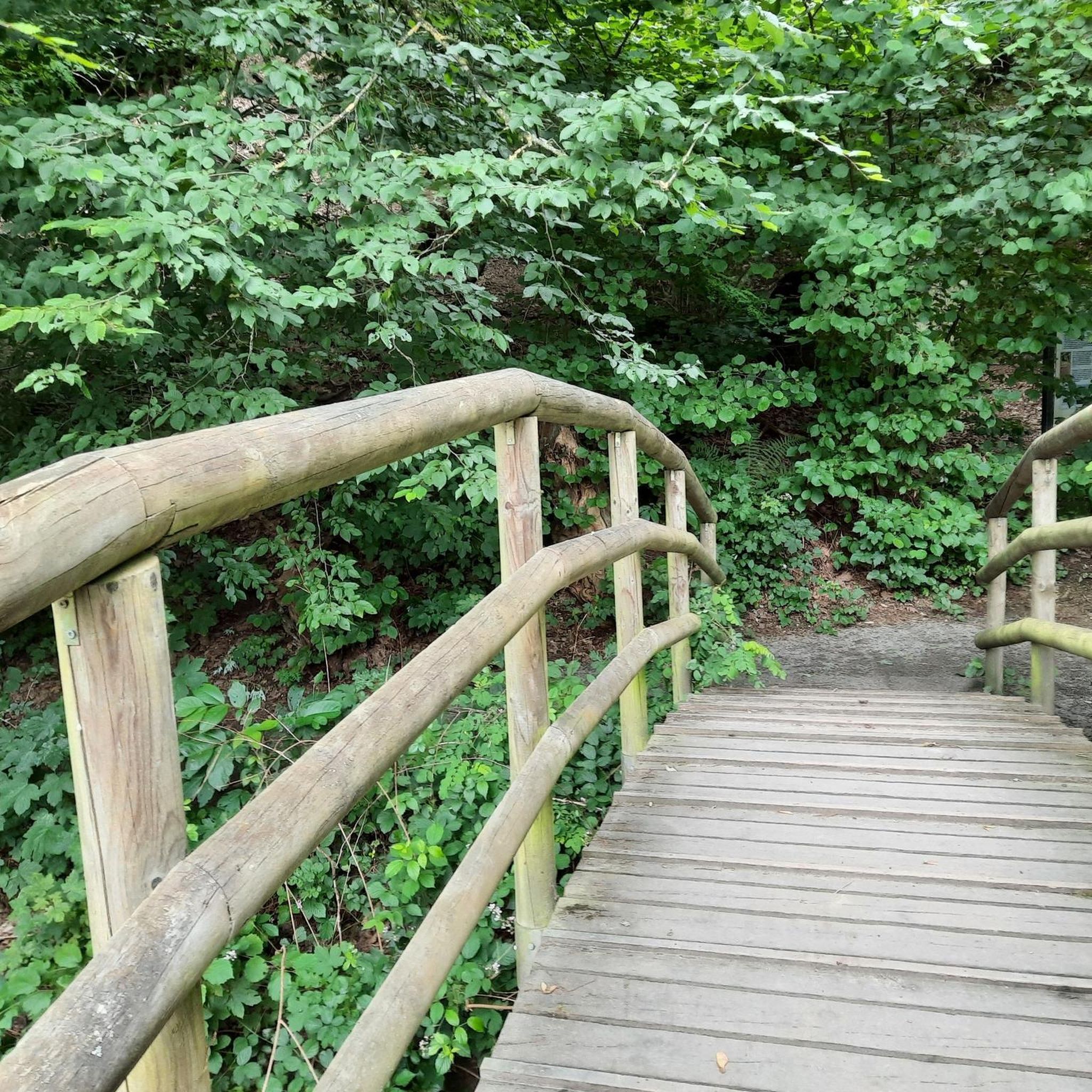
From puente verde to pinillos, the route is beautiful and pleasant. This point was recently remodeled.
0
0
A good place to take a breather during the chosen route
0
0

Bridge currently not present. It is not possible to cross the river at this point.
0
0

little Damm for diverting water for agriculture.the interesting thing is the artificial fish ramp they have build for the fish to be able to go upstream
0
0

Beautiful waterfall with new fish ladder.
3
0
Bridge currently closed - but there are others.
1
0
Frequently Asked Questions
How many running routes are available around Huétor Vega?
There are over 15 dedicated running routes around Huétor Vega listed on komoot, catering to various fitness levels. These include easy, moderate, and difficult options, with 1 easy route, 8 moderate routes, and 6 difficult routes to explore.
What types of terrain can I expect on the running trails in Huétor Vega?
Runners in Huétor Vega can enjoy a diverse range of terrains. The region offers gently undulating plains with agricultural areas like olive and orange groves, paths along the banks of the Rio Monachil, and more challenging trails extending into the Sierra Nevada foothills and the Sierra de Huétor Natural Park, featuring holm oaks, oaks, and maples.
Are there any easy running routes suitable for beginners or a relaxed jog?
Yes, for a more relaxed run, consider the Running loop from Huétor Vega. This moderate 5.8 km (3.6 miles) path offers a gentler experience with minimal elevation gain, perfect for beginners or a leisurely outing.
What do other runners say about the trails in Huétor Vega?
The running routes in Huétor Vega are highly regarded by the komoot community, boasting an average rating of 4.4 stars from over 200 reviews. More than 9,000 runners have used komoot to explore the varied terrain, often praising the scenic beauty and diverse options available.
Can I find challenging trail running options near Huétor Vega?
Absolutely. For those seeking a challenge, the Monachil loop from Huétor Vega is a difficult 14.1 km (8.7 miles) path with significant elevation gain. Another demanding option is the Cerro del Gavilán loop from Huétor Vega, a 10.9 km (6.7 miles) trail through hilly terrain.
Are there any long-distance running routes available?
Yes, if you're looking for a longer run, the Genil River in Pinos Genil loop from Huétor Vega is an excellent choice. This route spans 18.4 km (11.4 miles) and follows the Genil River, providing a sustained running experience.
What are some scenic viewpoints or landmarks I might encounter on a run?
While running, you might find yourself near several interesting points. The View of Granada loop from Los Rebites offers panoramic vistas. Additionally, the region's proximity to the Sierra Nevada provides stunning backdrops. You could also explore areas near the Sierra de Huétor Natural Park, known for its rich plant life and limestone terrain.
Are there any natural attractions or historical sites near the running paths?
Yes, the area around Huétor Vega is rich in natural and historical sites. You might find yourself close to the Sacromonte Abbey or the Sacromonte Caves Museum. Natural features like the Tajo de las Palomas gorge or the View of the Canales Reservoir are also within reach, offering diverse sights.
What is the best season for running in Huétor Vega?
Given the region's Mediterranean climate, with mild, wet winters and hot, dry summers, spring and autumn are particularly ideal for running in Huétor Vega. The temperatures are pleasant, and the natural landscapes are vibrant.
Are there any parks in Huétor Vega suitable for jogging?
Yes, Huétor Vega offers parks designed for active use. Parque de la Nava, covering 5.9 acres, is suitable for walking and features a bike path, making it a good option for joggers. Parque de los Pinos also provides space for walking and running.
Are there any circular running routes in the area?
Many of the popular running routes around Huétor Vega are circular, allowing you to start and finish in the same location. Examples include the Monachil loop from Huétor Vega and the Cerro del Gavilán loop from Huétor Vega, providing convenient options for your run.
Most popular routes around Huétor Vega
Most popular attractions around Huétor Vega

Get inspired with the komoot mobile app


Explore more
Browse the best Running Trails & Routes in other regions.
