The best running trails around Jizerskohorské bučiny
4.8
(28)
1,332
runners
128
runs
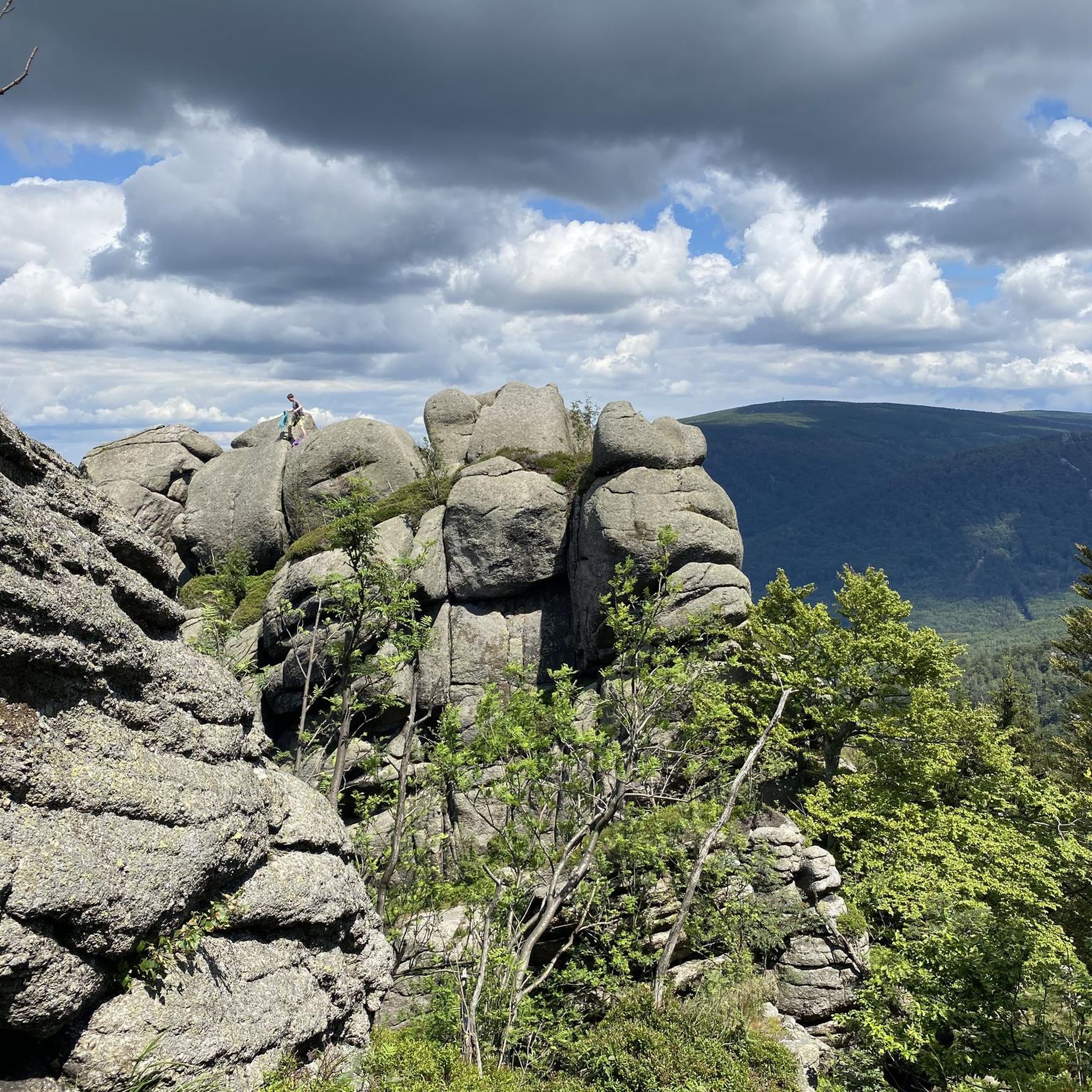
Jogging routes Jizerskohorské bučiny traverse a UNESCO World Heritage site, characterized by ancient beech forests and a unique geomorphology. The terrain features granite bedrock, numerous rock outcrops, and a significant altitude range from 360 to 1,006 meters above sea level. Mountain streams with cascades and waterfalls, such as the Štolpichy waterfalls, are also prominent natural features within the reserve. This diverse landscape provides varied challenges for runners, from gentler paths to more strenuous climbs.
Best jogging routes around Jizerskohorské bučiny
…Last updated: July 1, 2026
7
runners
10.2km
01:27
350m
350m
Hard run. Very good fitness required. Sure-footedness, sturdy shoes and alpine experience required.
6
runners
41.4km
05:28
1,480m
1,480m
Hard run. Very good fitness required. Sure-footedness, sturdy shoes and alpine experience required.

Sign up for free
27
runners
14.6km
01:33
210m
210m
Moderate run. Good fitness required. Mostly paved surfaces. Suitable for all skill levels.
4.0
(1)
20
runners
Hard run. Very good fitness required. Mostly paved surfaces. Suitable for all skill levels.
5.0
(1)
19
runners
Hard run. Very good fitness required. Mostly paved surfaces. Suitable for all skill levels.
Get access to more routes and recommendations from other explorers.
Sign up for free
Already have an account?
Our route recommendations are based on thousands of hikes, rides, and runs completed by other people on komoot.
Start today with a free account
Your next adventure awaits.
Login or Signup

Tips from the Community

Just let go of the pedals and brakes and enjoy the speed :)
0
0

Impressively empty landscape, As moors are, a bit eerie
0
0

The Wittighaus is an iconic place in the heart of the northern slopes of the Jizera Mountains for cyclists, cross-country skiers and hikers.
1
0

A beautiful meadow that shows the beauty of the Jizera Mountains
2
0

Smrk (Polish: Smrek, German: Tafelfichte) is the highest mountain in the Smrč Highlands and also in the Czech part of the Jizera Mountains with its height of 1124 metres above sea level. The borders of the three provinces of Bohemia, Lusatia and Silesia have met here since time immemorial. Today there is a pedestrian border crossing to Poland and in 2003 a lookout tower was rebuilt here. The Polish peak Smrek is 1123 metres high and lies just over the Czech-Polish border. The Jizera River rises on the southern slopes of the mountain, and the Klečoviště na Smrek natural monument is located near the summit, on the western slope of the mountain.
0
0

Peat bog with ponds and lakes on the Na Čihadle mountain ridge; this nature reserve is freely accessible via wooden walkways; located directly on the Jizera Mountains main road; diverse flora and fauna - e.g. spruce trees, round-leaved sundew, etc. (the main paths in the mountains are often asphalted so that they are suitable for racing bikes, or alternatively paved with concrete slabs on short sections);
0
1
Horská chata Smědava // Bílý Potok Newly built mountain hut at an altitude of 847 m, known for the "Smědava dumplings", located directly on the Jizera Mountains highway or on the road from Tanvald to Bílý Potok; starting point for numerous activities;
0
0

The Holubnik offers a breathtaking 360° view of the Jizera Mountains. Here you can find a great place to take a break and enjoy the amazing view. The ridge path over the Holubnik to/from the Vogelkuppe is not only a beautiful raised bog and protected area for black grouse and capercaillie, but is also the watershed between the Baltic and North Seas. To the north, the water flows via the Smedá into the Baltic Sea and to the south via the Jizera and Elbe into the North Sea.
0
0
Frequently Asked Questions
How many running routes are available in Jizerskohorské bučiny?
There are over 130 running routes available in Jizerskohorské bučiny, offering a wide range of options for different fitness levels. The komoot community has explored these trails extensively, with over 1300 runners using komoot to discover the area.
What kind of terrain can I expect on the running trails in Jizerskohorské bučiny?
The terrain in Jizerskohorské bučiny is quite diverse, characterized by ancient beech forests, granite bedrock, and numerous rock outcrops. You'll find paths ranging from gentler sections to more strenuous climbs, with altitudes varying from 360 to 1,006 meters above sea level. This unique geomorphology provides varied challenges for runners.
Are there any easy running routes suitable for beginners in Jizerskohorské bučiny?
Yes, while many routes offer a challenge, there are 6 easy running routes available in Jizerskohorské bučiny. These paths are generally less demanding, allowing beginners to enjoy the beautiful natural surroundings without excessive difficulty.
What natural features or landmarks can I see while running in Jizerskohorské bučiny?
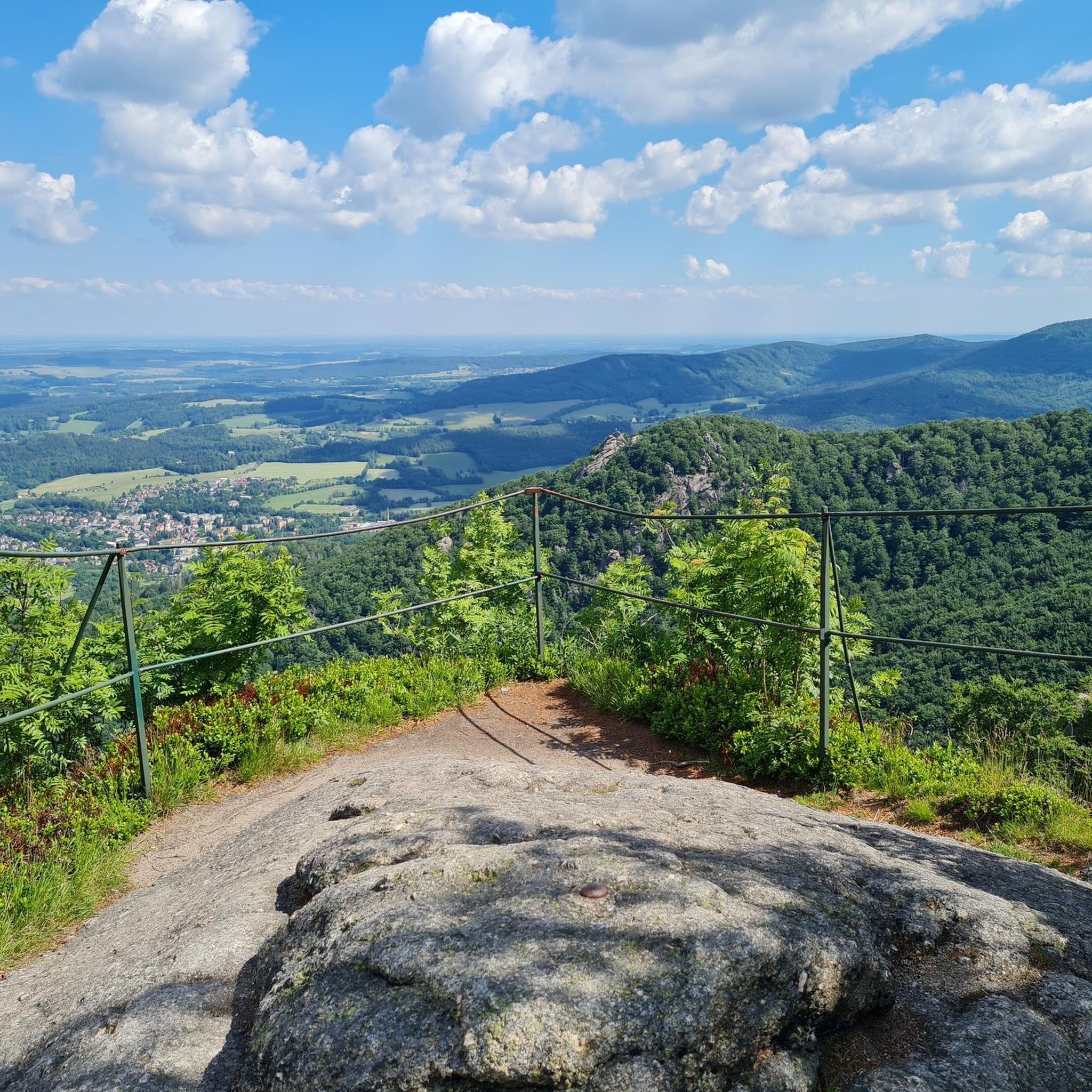
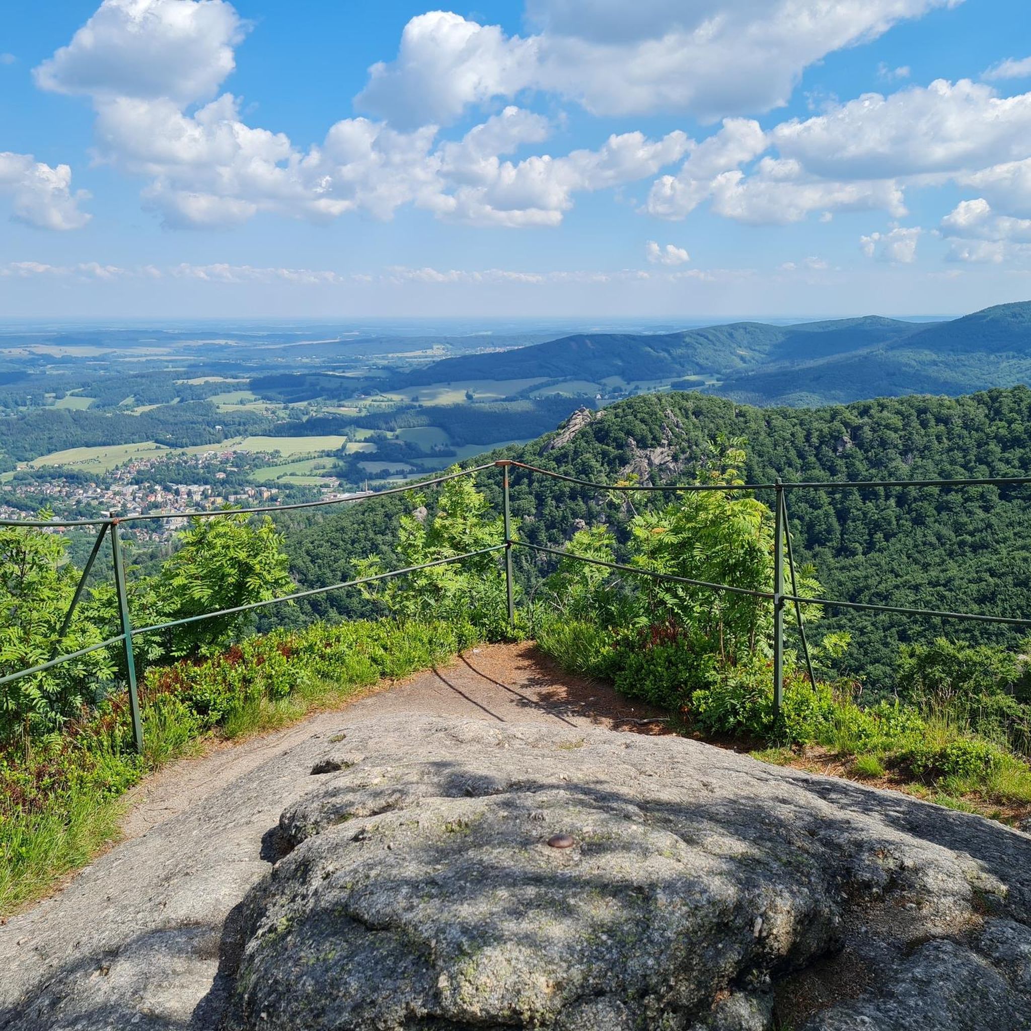
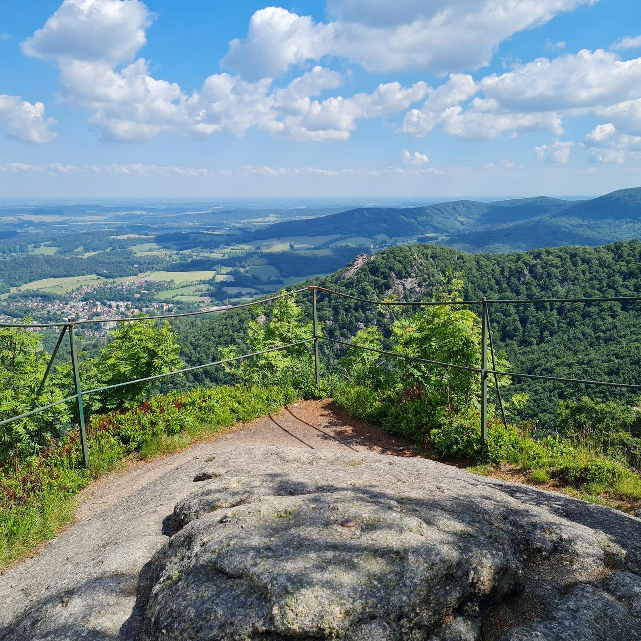
Jizerskohorské bučiny is rich in natural beauty. You can encounter stunning waterfalls like the Černý Štolpich Waterfall, and enjoy panoramic views from viewpoints such as Ořešník (Nußstein) Viewpoint or Polední Kameny (Mittagssteine). The ancient beech forests themselves are a major attraction, offering a serene and immersive experience.
Are there any circular running routes in the region?
Yes, many of the running paths in Jizerskohorské bučiny are designed as loops. For example, the popular Kopřivník [Raspenava] – Oldřichovský Špičák loop from Stržový vrch is a 6.3-mile (10.2 km) trail that offers views towards Oldřichovský Špičák. Another option is the Running loop from Hejnice, an 8.5-mile (13.7 km) path providing a varied experience.
What do other runners say about the trails in Jizerskohorské bučiny?
The running routes in Jizerskohorské bučiny are highly rated by the komoot community, with an average score of 4.9 stars from over 20 reviews. Runners often praise the tranquility of the ancient forests, the diverse landscape, and the well-maintained network of trails that cater to various skill levels.
Can I bring my dog on the running trails?
Generally, dogs are welcome on most trails in Jizerskohorské bučiny, but it's always recommended to keep them on a leash, especially in protected areas or where wildlife is present. The varied terrain and natural features make it an enjoyable experience for both you and your canine companion.
Are there any long-distance or challenging running routes for experienced runners?
Absolutely. For experienced runners seeking a challenge, there are 60 difficult routes available. A notable option is the Horská Chata Smědava – Holubnik (1,071 m) loop from Hejnice, a substantial 25.9-mile (41.6 km) trail with significant elevation gain, typically completed in about 5 hours 28 minutes.
What is the best time of year for running in Jizerskohorské bučiny?
Jizerskohorské bučiny offers a beautiful running experience throughout much of the year. Spring and autumn provide pleasant temperatures and stunning foliage. Summer is also great, with the dense beech forests offering shade. While winter running is possible, be prepared for snow and ice, especially at higher elevations, and check local conditions.
Are there any places to stop for refreshments along the running routes?
While the guide doesn't list specific cafes, the region does have mountain huts (like Horská Chata Smědava, which is a starting point for some routes) that often offer refreshments. It's advisable to carry your own water and snacks, especially on longer runs, as amenities might be sparse on the trails themselves.
Is it possible to reach the running trails by public transport?
The Jizera Mountains region has some public transport options, including bus services to towns like Hejnice, which serves as a starting point for several routes, such as the Running loop from Hejnice. However, access to more remote trailheads might require a car. It's best to check local public transport schedules for specific starting points.
What kind of wildlife might I encounter while running in Jizerskohorské bučiny?
Jizerskohorské bučiny is a vibrant ecosystem. While running, you might spot various birds, including rare species like the black stork or Eurasian eagle-owl. The area is also home to diverse fauna such as bats and amphibians like the fire salamander. Maintaining a respectful distance and staying on marked trails helps protect these creatures.
Most popular routes around Jizerskohorské bučiny
Most popular attractions around Jizerskohorské bučiny

Get inspired with the komoot mobile app


Explore more
Browse the best Running Trails & Routes in other regions.
