The best running trails around Manchita
15
runners
7
runs
Jogging routes around Manchita traverse a region characterized by diverse terrain, including rolling plains, rugged mountains, and tranquil river valleys. The landscape features a mix of forests, wetlands, and dramatic cliffs, offering varied environments for runners. This area provides numerous opportunities for outdoor activities, with paths suitable for different levels of running experience.
Best jogging routes around Manchita
- The most popular jogging route is Sierra de la Bóveda Trail, a 5.6 miles (9.1 km) trail that takes 1 hour…
Last updated: July 7, 2026
9.09km
01:07
130m
130m
Jogging the Los Balaídos by the Río Chaparral circular from Manchita is a moderate 5.6-mile route with 412 feet of gain, taking just over an
22.9km
02:55
390m
390m
This difficult 14.2-mile jogging route through Sierra de la Utrera features a unique karstic landscape and the historic Castillo de la Pajos

Sign up for free
22.9km
02:45
220m
220m
This difficult 14.2-mile jogging route in Sierra de la Gangosa features the historic Puente de Santa Natalia and scenic Río Guadámez.
8
runners
26.2km
03:16
470m
470m
Hard run. Very good fitness required. Mostly paved surfaces. Suitable for all skill levels.
3
runners
9.76km
01:01
60m
70m
Moderate run. Good fitness required. Mostly paved surfaces. Suitable for all skill levels.
Get access to more routes and recommendations from other explorers.
Sign up for free
Already have an account?
Our route recommendations are based on thousands of hikes, rides, and runs completed by other people on komoot.
Start today with a free account
Your next adventure awaits.
Login or Signup
Popular around Manchita
Tips from the Community

Arrazauce forest viewpoint
0
0

It is a castle that the surrounding landscapes give a good panorama between forests and agricultural fields that look towards Sierra de la Trancha. Also called Casa del Conde, it is a castle that rises on one of the southern slopes of the Sierra de la Utrera.
0
1
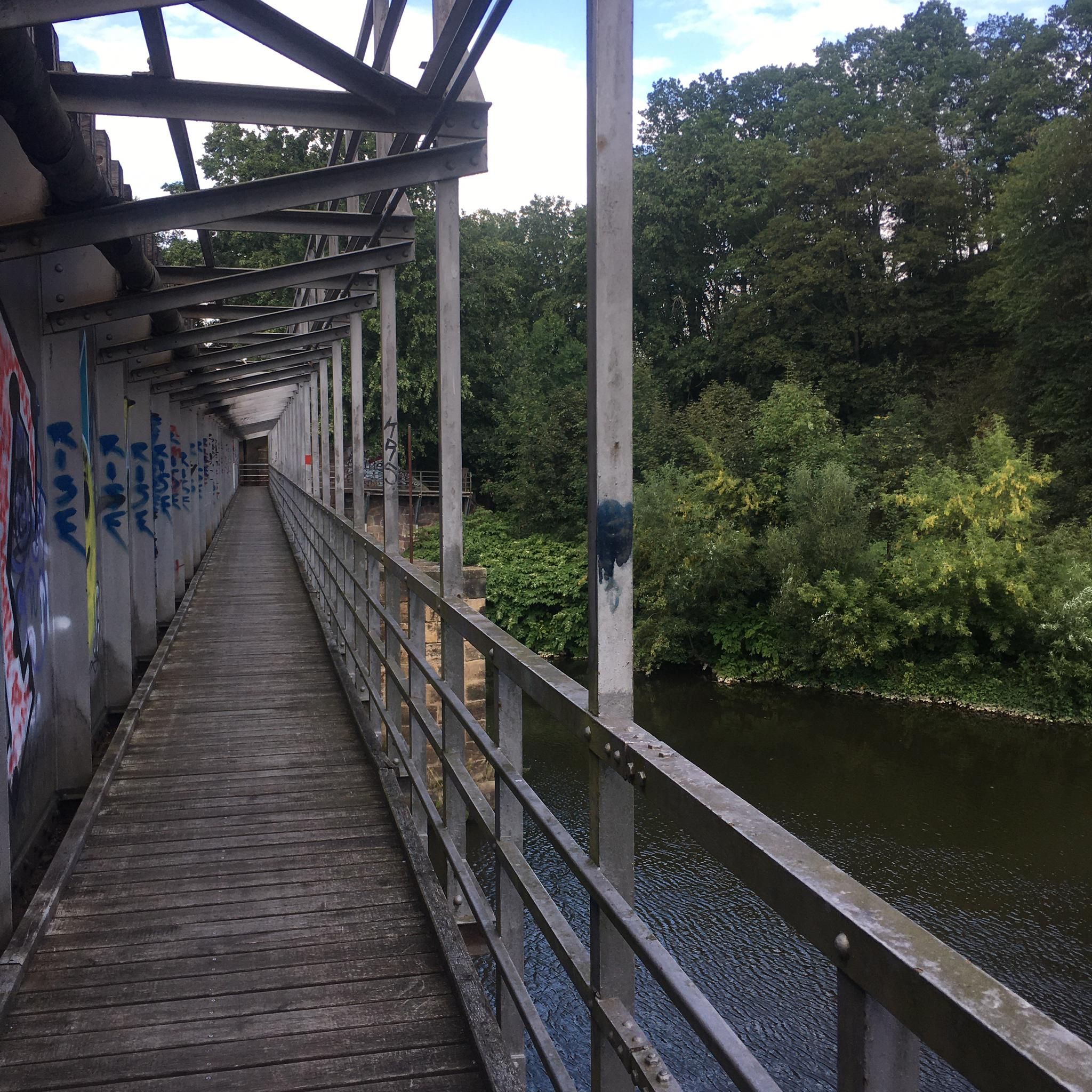
Beautiful and old bridge that is in this area of the Río Guadámez and that helps us cross to the other side of the stream.
0
0
Near the Río Guadámez we find these paths that go right next to the bank of the same river. The rounded ridges allow us to see some beautiful landscapes.
0
1
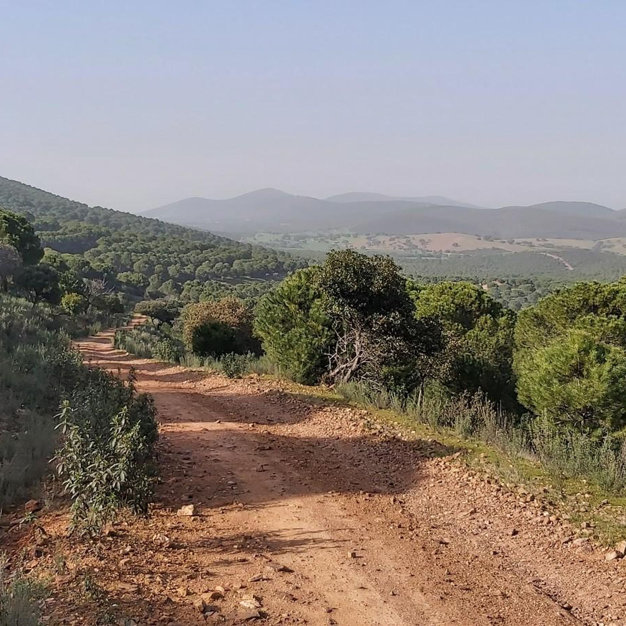
One of the mountain ranges that appear near the town of Manchita, with rounded hills and lush vegetation with incredible landscapes!
0
0
Also called Casa del Conde, it is a castle that rises on one of the southern slopes of the Sierra de la Utrera.
0
0
Small town located in the first rounded mountains where mountain ranges such as the Sierra de la Gangosa or Utrera begin, in an area where the Río Chaparral crosses.
0
0
In the Sierra de los Vuelos, the Alto de la Cabra appears, a small mountain system that gives the entrance to the first mountain ranges that are found at the southern end of Extremadura.
0
0
Frequently Asked Questions
How many running routes are available around Manchita?
There are 8 dedicated running routes around Manchita listed on komoot. These routes offer a variety of experiences, from easy loops to more challenging mountain trails, catering to different fitness levels.
Are there easy jogging routes suitable for beginners?
Yes, for beginners or those looking for a relaxed run, there is at least one easy route available. While specific easy routes are not detailed in the top picks, the region's diverse terrain ensures options for all abilities. The Running loop from Guareña is a moderate 6.1-mile path that is relatively flat, making it a good option for those seeking a less strenuous experience.
What kind of terrain can I expect on the running trails in this region?
The running trails around Manchita, reflecting the broader Castilla-La Mancha region, offer a diverse range of terrain. You can expect rolling plains, rugged mountains, and tranquil river valleys. The landscape features a mix of forests, wetlands, and dramatic cliffs, providing varied environments for runners. Routes like the Sierra de la Bóveda Trail offer varied terrain with moderate elevation changes, while others like the Sierra de la Utrera and Castillo de lead through mountainous areas.
Are there any circular running routes in the Manchita area?
Yes, there are several circular running routes available. For instance, the Circular Sierra de la Gangosa and Río is a challenging 14.2-mile loop. Another option is the Running loop from Guareña, which is a moderate 6.1-mile path, perfect for a complete circuit.
What are some of the more challenging running trails around Manchita?
For experienced runners seeking a challenge, there are 4 difficult routes. The Sierra de la Utrera and Castillo de is a demanding 14.2-mile trail through mountainous terrain. Another challenging option is the Puerto Ancho – Puerto de la Cabra loop from Cerro del Mesto, which spans over 16 miles with significant elevation changes.
What kind of natural landmarks or historical sites can I see along the running routes?
The region offers a blend of natural beauty and historical interest. You might encounter features like the Sierra de la Utrera, a beautiful forest area, or historical sites such as the Castillo de la Pajosa. The broader Castilla-La Mancha region is also known for its unique geological formations like the Ciudad Encantada and the dramatic Barrancas de Burujón, which provide stunning backdrops for outdoor activities.
Is the area suitable for trail running with dogs or families?
While specific dog-friendly or family-friendly designations for each route are not provided, the diverse landscape of Castilla-La Mancha generally offers many paths suitable for various activities. Flat, well-maintained trails, especially those in natural parks with wooden walkways like Tablas de Daimiel, could be ideal for families. For dogs, it's always best to check local regulations for specific trails or natural parks regarding leash requirements and access.
What is the best time of year for jogging in Manchita (Castilla-La Mancha)?
The high altitudes in central Castilla-La Mancha, with their sunny days and cool nights, make spring and autumn particularly pleasant for outdoor activities like jogging. Summers can be hot, especially in lower elevations, so early mornings or late evenings are preferable. Winters are generally mild but can be chilly, offering a different, often serene, running experience.
Are there running routes that offer scenic viewpoints?
Many routes in the region traverse varied landscapes that naturally offer scenic views. Trails through mountainous terrain, such as the Sierra de la Utrera and Castillo de, often provide expansive vistas. The dramatic cliffs and pine forests of Alto Tajo Natural Park, or the otherworldly Barrancas de Burujón, are examples of areas in Castilla-La Mancha that would offer stunning backdrops and viewpoints for your run.
What do other runners say about the trails in Manchita?
The running routes around Manchita are gaining popularity among the komoot community, with over 19 runners having explored the varied terrain. Users often praise the diverse landscapes, from rolling plains to rugged mountains, and the opportunities to discover historical sites and natural beauty along the way.
Are there any less-known or 'hidden gem' running routes to discover?
While the guide highlights popular routes, the vastness of Castilla-La Mancha means there are many lesser-known paths. Exploring areas within the natural parks like Lagunas de Ruidera or Alto Tajo, beyond the main trails, can reveal quieter, equally beautiful running experiences. The 'Don Quixote Route' also offers extensive, culturally rich paths that are less frequented by typical joggers.
What are the typical lengths of running routes in Manchita?
The running routes around Manchita vary significantly in length. You can find shorter, moderate paths like the Sierra de la Bóveda Trail, which is about 5.6 miles (9.1 km). For longer runs, options like the Sierra de la Utrera and Castillo de extend to 14.2 miles (22.9 km), and the Puerto Ancho – Puerto de la Cabra loop from Cerro del Mesto is over 16 miles (26 km).
Most popular routes around Manchita
Most popular attractions around Manchita

Get inspired with the komoot mobile app


Explore more
Browse the best Running Trails & Routes in other regions.
