The best road cycling routes around Foradada Del Toscar
4.7
(12)
695
riders
12
rides
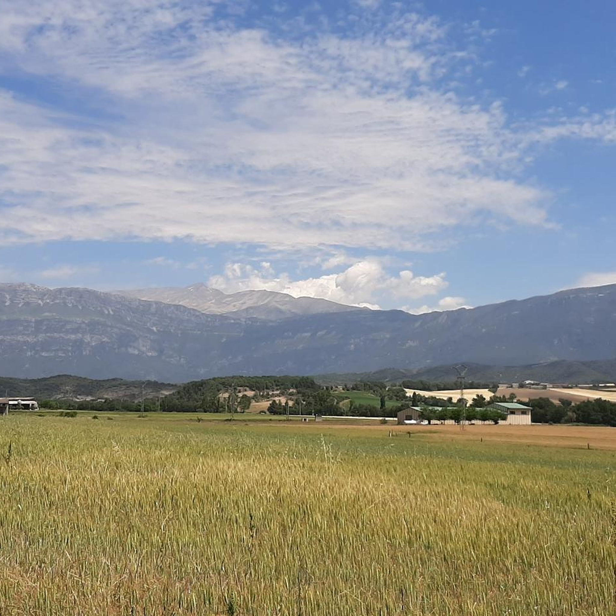
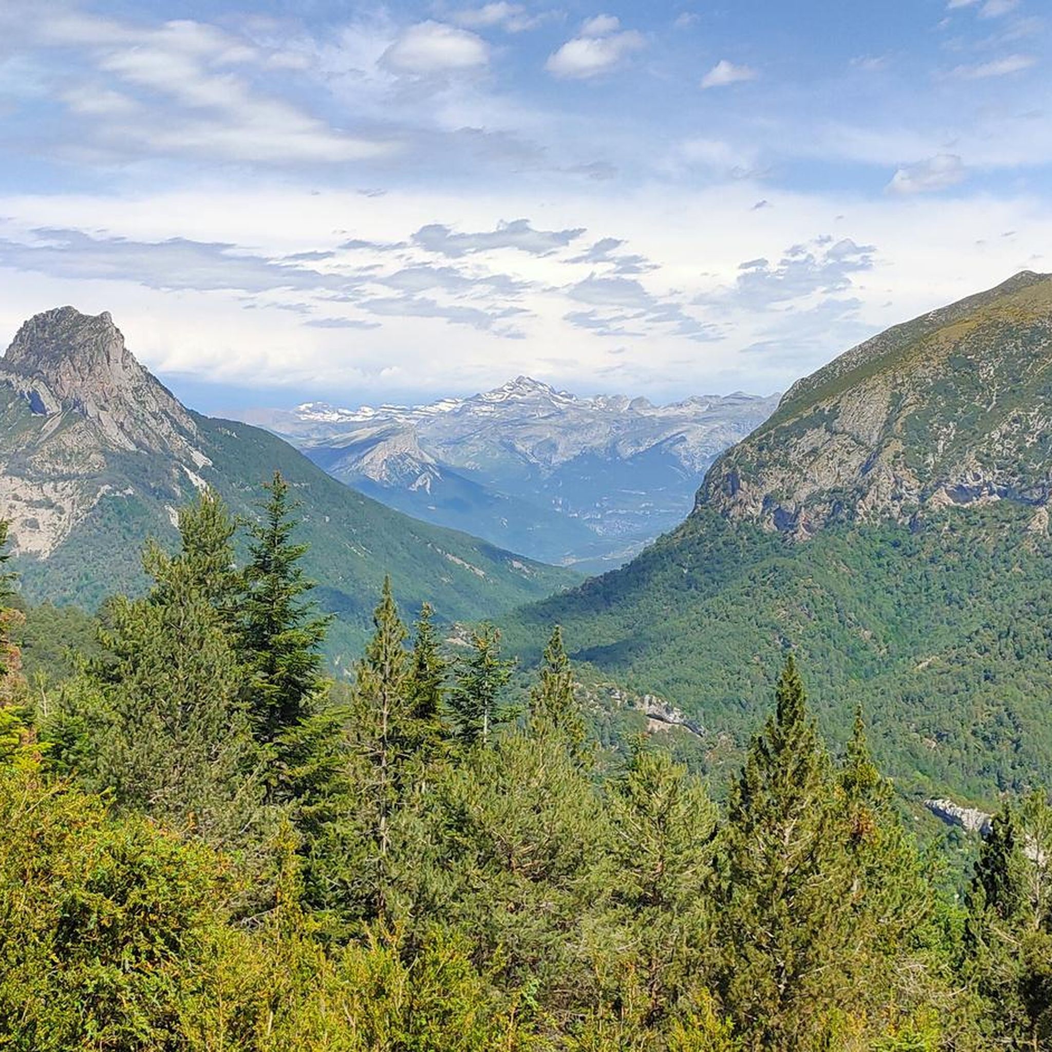
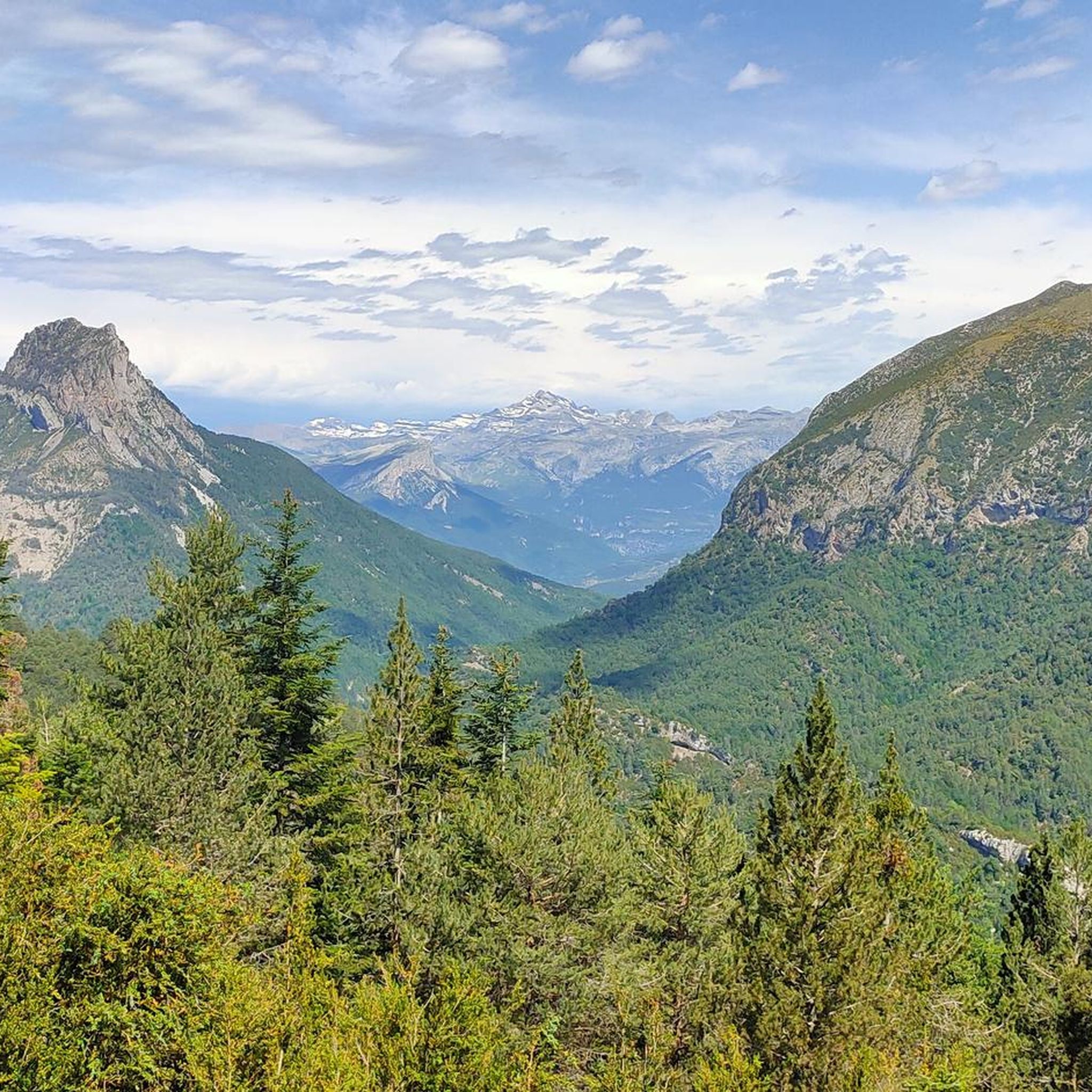
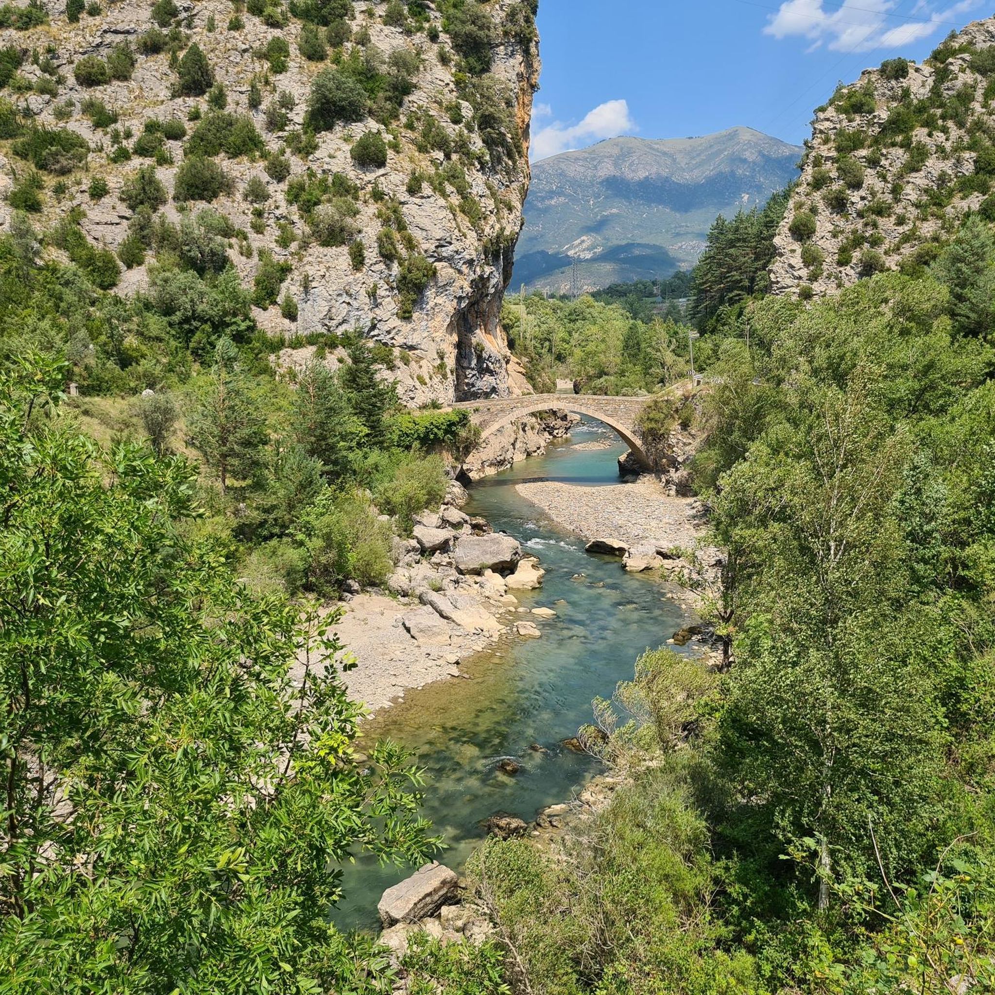
Road cycling routes around Foradada Del Toscar traverse a region characterized by varied topography, including significant climbs and descents. The landscape features rolling hills and valleys, with routes often passing through historic villages and offering views of the surrounding terrain. This area provides road cyclists with opportunities to experience both challenging ascents and scenic stretches.
Best road cycling routes around Foradada Del Toscar
- The most popular road cycling route is Iglesia de Labuerda loop from Los Vives, a 38.0…
Last updated: October 20, 2026
5.0
(1)
53
riders
61.2km
02:47
650m
650m
Moderate road ride. Good fitness required. Mostly well-paved surfaces and easy to ride.
40
riders
78.3km
04:10
1,430m
1,430m
Hard road ride. Very good fitness required. Mostly well-paved surfaces and easy to ride.

20
riders
49.4km
02:25
640m
640m
Moderate road ride. Good fitness required. Mostly well-paved surfaces and easy to ride.
17
riders
65.0km
03:18
860m
860m
Moderate road ride. Good fitness required. Some segments of this route may be unpaved and difficult to ride.
5.0
(1)
20
riders
40.2km
02:15
790m
790m
Moderate road ride. Good fitness required. Mostly well-paved surfaces and easy to ride.
Get access to more routes and recommendations from other explorers.
Already have an account?
Our route recommendations are based on thousands of hikes, rides, and runs completed by other people on komoot.
Start today with a free account
Your next adventure awaits.

Tips from the Community

An ideal place to relax with excellent views, buildings that will surprise you, and a fountain to refresh yourself.
0
0

From here you can see the Buddhist Center Dag Shang Kagyu.
0
0

Formigales is a small town belonging to the municipality of La Fueva. It is located in the Campanué mountain range and very close to the Formigales ravine. The town stands out for preserving a large stone mansion, the Palace of the Murs, a turreted house from the 15th century where the Baron de Formigales lived.
0
0

This town on a low altitude plain is one of the few towns of non-defensive origin in La Fueva. One of the theories of the origin of its name is that these were the lands of someone named "Antonius" or "Antoninus".
2
0

The Aínsa bridge that connects the two parts of the city and that are crossed by the Cinca river, is a space from where you can see Peña Montañesa to the west, and a little further to the east, the summit from Tuca Both are part of the Ferrera mountain range.
0
0

Nice place for a break with a view towards Aínsa.
0
0

The hermitage of Santa Brígida gives its name to its hill and to a tributary ravine of the Salinar that rises near it. It is located on the road from Lo Entremón to Tierrantona, before reaching Palo, just at the detour to Salinas de Trillo.
0
0
The name of Salinas derives from the exploitation of salt in the Salinar ravine, which is the most likely origin of the settlement in the area. The water of this ravine is rich in minerals and for centuries there has been knowledge of salt mines in the surroundings. Salinas is located on the southern slopes of the San Marcos (or Trillo) hill, in the basin of the Salinar ravine, which is a direct tributary of the Cinca River through the Ligüerre de Cinca margin. It is not part of the natural subregion of La Fueva, although since the 1960s the surrounding towns have been incorporated into the municipality of La Fueva. However, it has always had a close relationship with the towns of La Fueva itself, which they bought salt in Salinas. It has a fortified house called Casa Palacio, which is a good example of Las Casas Torreadas del Alto Aragón.
0
0
Frequently Asked Questions
How many road cycling routes are available around Foradada Del Toscar?
There are 7 road cycling routes documented around Foradada Del Toscar on komoot, offering a range of experiences for different skill levels.
Are there any beginner-friendly road cycling routes in Foradada Del Toscar?
While there are no routes specifically graded as 'easy', Foradada Del Toscar offers 5 moderate road cycling routes. These routes provide a good balance of challenge and accessibility for those with some road cycling experience. For example, the Iglesia de Labuerda loop from Los Vives is a moderate 38-mile route with notable elevation gain.
What are the most challenging road cycling routes in Foradada Del Toscar?
For experienced road cyclists seeking a challenge, there are 2 difficult routes. The Panillo Climb – Troncedo Castle and Village loop from Campo is a demanding 48.5-mile route featuring a substantial climb and passing historical landmarks. Another difficult option is the Troncedo Castle and Village – Hermitage of Santa Brígida loop from Palo, which covers 30.2 miles through elevated terrain.
Are there any long-distance road cycling routes in the Foradada Del Toscar area?
Yes, several routes offer longer distances. The Panillo Climb – Troncedo Castle and Village loop from Campo is one of the longest at 48.5 miles (78 km), providing an extensive ride through varied landscapes.
Can I find circular road cycling routes around Foradada Del Toscar?
Most of the road cycling routes in Foradada Del Toscar are designed as loops, allowing you to start and finish at the same point. Examples include the Iglesia de Labuerda loop from Los Vives and the Panillo Climb loop from Campo.
What kind of scenery and landmarks can I expect along the road cycling routes?
Road cycling routes in Foradada Del Toscar often pass through rolling hills and valleys, offering views of the surrounding terrain and historic villages. You can encounter notable landmarks such as Troncedo Castle and Village, and various mountain passes like Collado de Sahún and Puerto de Arro – Monastery of San Victorián.
What do other road cyclists say about the routes in Foradada Del Toscar?
The road cycling routes in Foradada Del Toscar are highly rated by the komoot community, with an average score of 4.3 stars from over 3 reviews. Cyclists often praise the challenging climbs, scenic village passages, and varied elevation profiles that define the area's routes.
Are there any routes that pass by castles or historical sites?
Yes, several routes incorporate historical sites. The Panillo Climb – Troncedo Castle and Village loop from Campo and the Troncedo Castle and Village – Hermitage of Santa Brígida loop from Palo both pass by Troncedo Castle and Village, offering a blend of cycling and cultural exploration.
What is the best time of year for road cycling in Foradada Del Toscar?
Given the region's varied topography and significant climbs, spring and autumn generally offer the most pleasant conditions for road cycling, with milder temperatures. Summer can be warm, especially on exposed climbs, while winter may present colder temperatures and potentially adverse road conditions at higher elevations.
Are there any routes that offer views of lakes or natural water features?
While the immediate routes focus on mountain passes and villages, the broader region around Foradada Del Toscar features natural attractions. For example, the Ibón of Plan (Basa de la Mora) is a notable lake in the vicinity, though not directly on the listed road cycling routes.
What is the elevation gain like on the road cycling routes?
The routes in Foradada Del Toscar are characterized by significant elevation changes. For instance, the Panillo Climb – Troncedo Castle and Village loop from Campo features an elevation gain of over 1400 meters, providing a substantial climbing challenge.
Most popular routes around Foradada Del Toscar
Most popular attractions around Foradada Del Toscar

Get inspired with the komoot mobile app


Explore more
Browse the best Road cycling routes in other regions.
