The best cycling routes around Cubo De La Solana
4.4
(45)
553
riders
58
rides
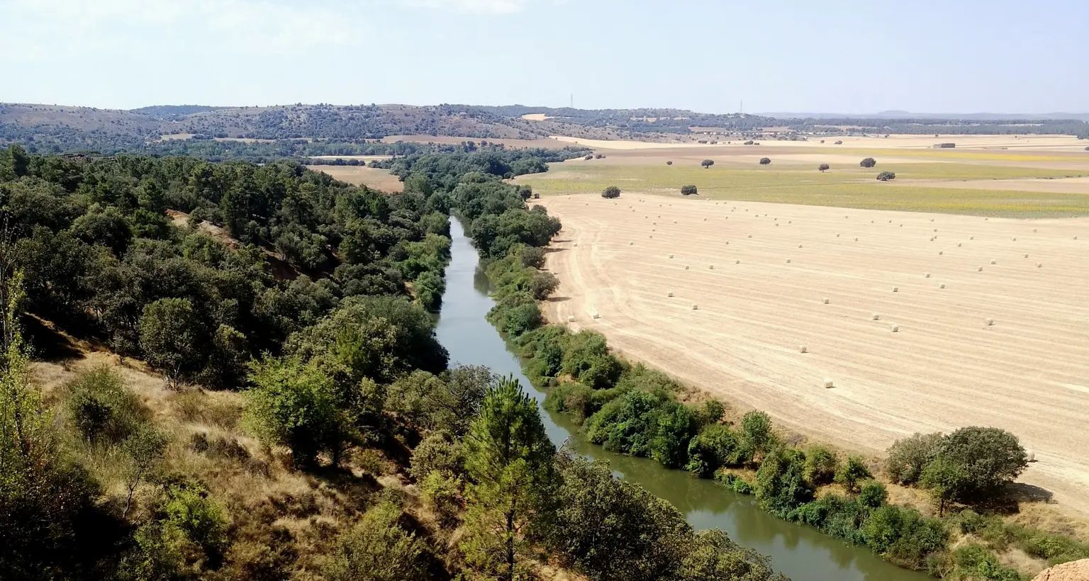
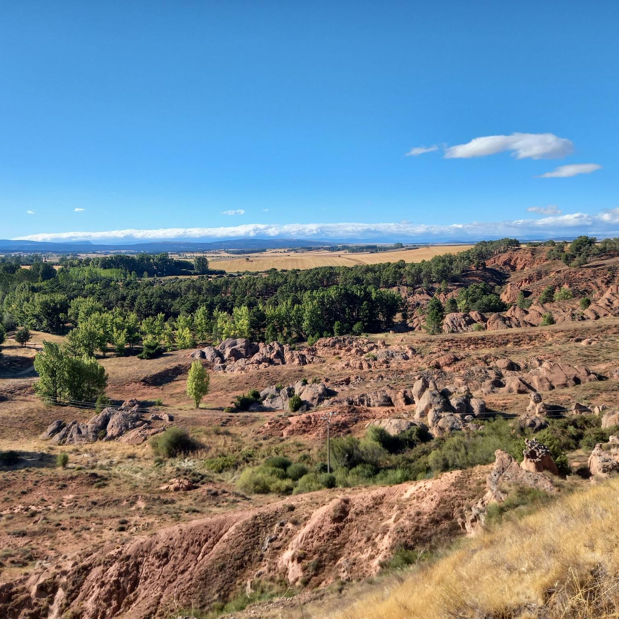
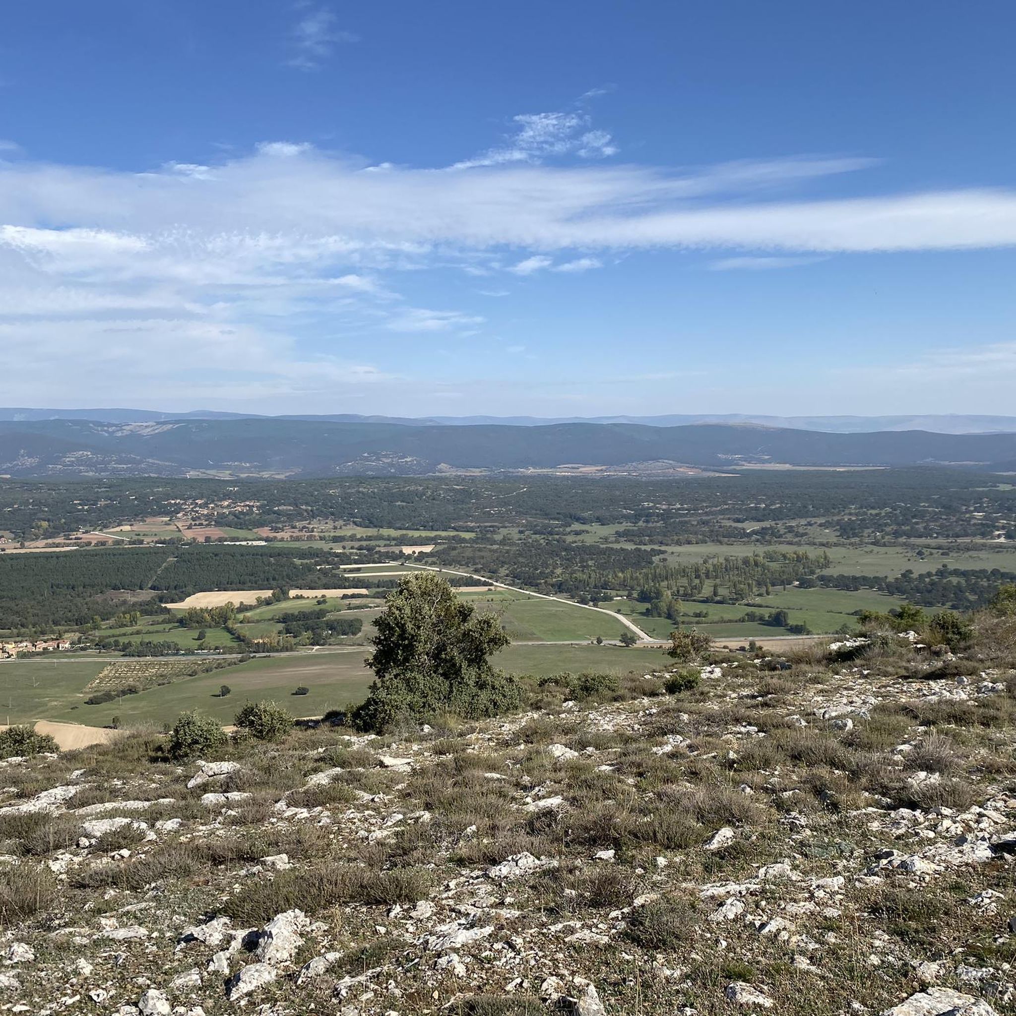
Touring cycling around Cubo De La Solana, a municipality in Soria, Spain, offers diverse landscapes for cyclists. The terrain features a blend of agricultural plains, river valleys, and forested hills. The Duero, Mazos, and Rituerto rivers create riverside paths, while the "Campos de Castilla" provide open stretches through wheat, sunflower, and rapeseed fields. The region also includes hills populated with oaks, holm oaks, and pines, along with three lagoons.
Best touring cycling routes around Cubo De La Solana
- The most…
Last updated: July 12, 2026
4.7
(3)
36
riders
60.8km
04:35
320m
320m
Moderate bike ride. Good fitness required. Mostly paved surfaces. Suitable for all skill levels.
4.0
(1)
1
riders
63.3km
04:31
420m
420m
Moderate bike ride. Good fitness required. Mostly paved surfaces. Suitable for all skill levels.

Sign up for free
1
riders
82.1km
05:04
650m
650m
Hard bike ride. Very good fitness required. Mostly paved surfaces. Suitable for all skill levels.
4.8
(5)
39
riders
49.1km
04:32
220m
220m
Moderate bike ride. Good fitness required. Mostly paved surfaces. Suitable for all skill levels.
5.0
(5)
39
riders
34.7km
03:09
180m
180m
Moderate bike ride. Good fitness required. Mostly paved surfaces. Suitable for all skill levels.
Get access to more routes and recommendations from other explorers.
Sign up for free
Already have an account?
Our route recommendations are based on thousands of hikes, rides, and runs completed by other people on komoot.
Start today with a free account
Your next adventure awaits.
Login or Signup

Other adventures around Cubo De La Solana

Tips from the Community

The abandonment of the villages of Soria is heartbreaking.
0
0

Stage 1. Soria/Duruelo de la Sierra 106 kilometers. 1,240 meters of elevation gain. The stage's altitude data borders on a peaceful day of cycling from a medium-level perspective, especially the elevation gain concentrated in the final stretch, between Hontoria del Pinar and Duruelo de la Sierra. The stage can be divided into two days, with the first night's stop in San Leonardo de Yagüe, which has all the necessary amenities. In these bikepacking reports and suggestions, I try to provide information, suggestions, and opinions on optimal routes, routes, and terrain for enjoyable gravel bike travel. However, these data should always be assessed subjectively, allowing each cyclist to establish their own travel style and pace, depending on the tour company, the time of year, their goals, or their personal taste. A beautiful part of traveling is making each experience your own adventure. The milestones are marked, indicating paths, outstanding places, points of interest, or discoveries made by other cycle travelers, but each cyclist must find their own inspiration, and it will always be a unique journey. The Duero River has been a frontier since the dawn of Iberian civilizations, and Soria a strategic stronghold in a territory of conquest and power. And whenever I begin a bike trip in Soria, I always look for the riverbank to mark the starting point, at the foot of the Parque del Castillo, a natural space with an atmosphere of bygone eras marked by the power of a watercourse around a medieval fortress. A quiet and convenient place to park is the Paseo de San Prudencio parking lot, near the Romanesque chapels that distinguish the city's historical and artistic heritage. Along the riverside paths, there are gardens, recreational areas, kiosks, and inspiring sculptures, and on the opposite bank are the Church of San Polo and the Chapel of San Saturio, two jewels of Soria's Romanesque architecture. And there are also the signposts for the Senda del Duero Nature Trail, where the return route begins. The sign for the start of the Santander-Mediterranean Nature Trail section between Soria and Hontoria del Pinar is next to the train station, in another part of the city. The connection from the banks of the Duero River between the two Nature Trails has no specific signage; it follows the river along the riverside promenade, passes the San Saturio pedestrian bridge, and climbs along the University of Soria bike path to the Carretera de Madrid roundabout. The best route I've found in this area of industrial estates and vacant lots to reach the route of the old Santander railway is to go up Eduardo Saavedra Street to a crossroads where there are some car dealerships, turning left onto Camino del Cañuelo. This is a somewhat winding but effective route for reaching the "ground zero" of the Santander-Mediterranean Nature Trail by bike. The trail is located at the train station exit, with an information panel and the first red signs indicating the crossing points. And then it's time to pedal toward the forest kingdom of Tierra Pinariega and the Picos de Urbión. The first few kilometers fly by; it's a rural area, the villages are far from the railway, and you simply have to glide along the magnificent gravel surface of the old railway, seeing the remains of the stops, stations, and milestones of the Nature Trail. Ocenilla is a district of Cidones, close to the railway crossing, at the foot of the solitary Cabrejas mountain range. It's easy to cycle to the entrance of the village and see the sculpture of the Warrior of Ocenilla, a striking representation of a Celtiberian warrior found in the drawings of a 3rd-century BC vase, associated with the Numantian culture. The route winds along endless straight stretches alongside the Cabrejas mountain range and enters Tierra Pinariega through the municipalities of Abejar and Cabrejas del Pinar. Some milestones bear the yellow arrows of the Castilian-Aragonese Way of St. James.
0
0

Ocenilla is a hamlet belonging to the municipality of Cidones. It is located 15 km from the capital, Soria. In the distance, beneath the foothills of the Sierra de Cabrejas, you can see the Pico Frentes. Access is the same as to Cidones, taking the N-234. Festivals include St. Anthony of Padua on June 13th and St. Stephen's Day on December 26th. A Celtiberian fortress stands here, part of the wall still stands today. The economy is based primarily on livestock farming. Among the plants, the oak stands out. Typical dishes include perolo on Christmas Eve and cachula, or pork blood broth. Art and Sights in Ocenilla Hermitage of San Antonio Church of San Esteban Archaeological Remains Don Simón Spring (Natural Spring) Ivy Spring (Natural Spring) Old Washhouse (Old Washhouse) Source: https://www.cidones.es/ocenilla
0
0


The Co-Cathedral of San Pedro de Soria symbolizes a jewel of the Castilian Romanesque. It is located in the northeast part of the city of Soria, very close to the Duero River. It is essential to visit its beautiful cloister.
0
0

At the entrance/exit of the capital of Sória is this bridge of medieval origin that has helped to cross the Río Duero in its passage through the town.
0
0
Cathedral next to that of Burgo de Osma of the diocese of Osma-Soria, it houses a beautiful cloister
3
0
It is an old medieval bridge, formerly called the main bridge, built in stone, uniting both banks of the Duero River.
1
0
Frequently Asked Questions
How many touring cycling routes are available in Cubo De La Solana?
There are over 60 touring cycling routes around Cubo De La Solana, offering a wide range of options for different skill levels and preferences. These routes are highly rated by the komoot community, with an average score of 4.5 stars.
What kind of terrain can I expect on touring cycling routes in Cubo De La Solana?
The terrain in Cubo De La Solana is quite varied. You'll find a blend of agricultural plains, often referred to as the 'Campos de Castilla' with fields of wheat and sunflowers, lush river valleys along the Duero, Mazos, and Rituerto rivers, and forested hills populated with oaks, holm oaks, and pines. This diversity provides both long, scenic stretches and more challenging climbs.
Are there any easy touring cycling routes suitable for beginners or families?
Yes, Cubo De La Solana offers 6 easy touring cycling routes. Additionally, there are 28 moderate routes, many of which utilize well-maintained paths like sections of the Santander-Mediterranean Greenway, making them suitable for those seeking a less strenuous ride. The PR-SO 68 is also mentioned as a low-difficulty natural trail suitable for cycling.
What historical or natural landmarks can I see along the cycling routes?
Cyclists can explore a rich array of landmarks. You might encounter the ancient La Torrejalba tower, sections of the historical Cañada Real Soriana, or the brightly colored Hermitage of San Saturio. The region also features the picturesque 'bow curve' of the Duero river, three natural lagoons (Redonda, Guijosa, and Larga), and historical sites like the Celtiberian necropolis of Los Castillejos and Roman settlements.
Are there any circular touring cycling routes available?
Yes, many routes in the area are circular. For example, the Hiking from Soria — circular on the Santander-Mediterranean Greenway and the Fuentepinilla — circular from Soria are popular options that allow you to start and end in the same location.
What is the best time of year to go touring cycling in Cubo De La Solana?
The region's climate, with its Mediterranean flora, suggests spring and autumn are ideal for touring cycling. During these seasons, temperatures are generally milder, and the landscapes are vibrant, offering comfortable conditions for longer rides through the agricultural plains and forested areas.
Are there any long-distance touring cycling routes that pass through Cubo De La Solana?
Yes, a section of the larger Ruta del Duero, which spans 73 km within Soria, passes through Cubo De La Solana. This offers opportunities for longer rides connecting with other villages and exploring extensive riverside landscapes.
Where can I find parking for my bike when starting a route?
While specific parking areas for cyclists are not detailed, Cubo De La Solana is a municipality with a focus on outdoor activities. It's generally advisable to look for parking in the village centers or near trailheads of established routes like the PRC-SO 64 'Monte del Cubo' or PR-SO 68, which are designed for both walking and cycling.
What are some challenging touring cycling routes in the area?
For experienced touring cyclists seeking a challenge, Cubo De La Solana offers 29 difficult routes. The Fuentepinilla — circular from Soria, at 82.1 km with significant elevation gain, is a notable difficult option. Another challenging route is the Peña de la Sierpe – Church of Santo Domingo loop from Soria.
Can I access Cubo De La Solana by public transport with my bicycle?
Cubo De La Solana is situated just 24 kilometers from the city of Soria. While specific public transport options for bicycles are not detailed, Soria typically serves as a regional hub. It's recommended to check local bus services from Soria to Cubo De La Solana for their bicycle policies, as this can vary.
What kind of natural features can I expect to see on the routes?
Beyond the rivers and fields, you'll encounter diverse natural features. The forests are rich with oaks, holm oaks, pines, and Mediterranean flora like thyme and lavender. The three lagoons—Redonda, Guijosa, and Larga—are also notable, attracting various aquatic birds and adding to the scenic beauty.
Are there any routes that follow historical paths?
Yes, the region is rich in historical paths. The Cañada Real Soriana, an ancient transhumance route, traverses Cubo De La Solana and now offers natural trails suitable for cycling. Additionally, routes like the Santander-Mediterranean Greenway follow historical railway lines, providing unique cycling experiences.
Most popular routes around Cubo De La Solana
Most popular attractions around Cubo De La Solana

Get inspired with the komoot mobile app


Explore more
Browse the best Cycling routes in other regions.
