The best running trails around Zucaina
5.0
(4)
419
runners
27
runs
Jogging routes around Zucaina traverse a diverse natural environment within the Comunitat Valenciana. The region features mountainous terrain, including significant elevations, and is characterized by rivers, natural pools, and extensive forests. This landscape provides varied options for running, from challenging trails with elevation gains to more accessible paths through lush environments.
Best jogging routes around Zucaina
- The most popular jogging route is Monte la Copa and Morrón de Campos Trail, an 8.5 miles (13.6 km) trail that takes 2…
Last updated: June 28, 2026
5.0
(2)
49
runners
13.6km
02:01
570m
570m
Hard run. Very good fitness required. Sure-footedness, sturdy shoes and alpine experience required.
99
runners
25.1km
03:16
790m
790m
Hard run. Very good fitness required. Sure-footedness, sturdy shoes and alpine experience required.

Sign up for free
46
runners
10.4km
01:24
370m
370m
Hard run. Very good fitness required. Sure-footedness, sturdy shoes and alpine experience required.
5.0
(1)
35
runners
8.31km
01:15
320m
320m
Hard run. Very good fitness required. Sure-footedness, sturdy shoes and alpine experience required.
5.0
(1)
14
runners
11.3km
01:29
420m
420m
Hard run. Very good fitness required. Mostly paved surfaces. Suitable for all skill levels.
Get access to more routes and recommendations from other explorers.
Sign up for free
Already have an account?
Our route recommendations are based on thousands of hikes, rides, and runs completed by other people on komoot.
Start today with a free account
Your next adventure awaits.
Login or Signup
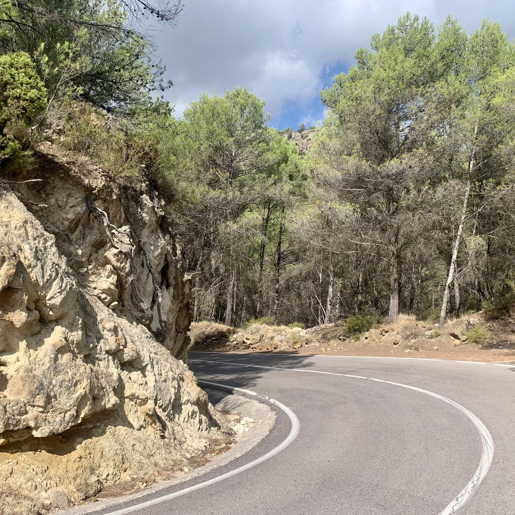
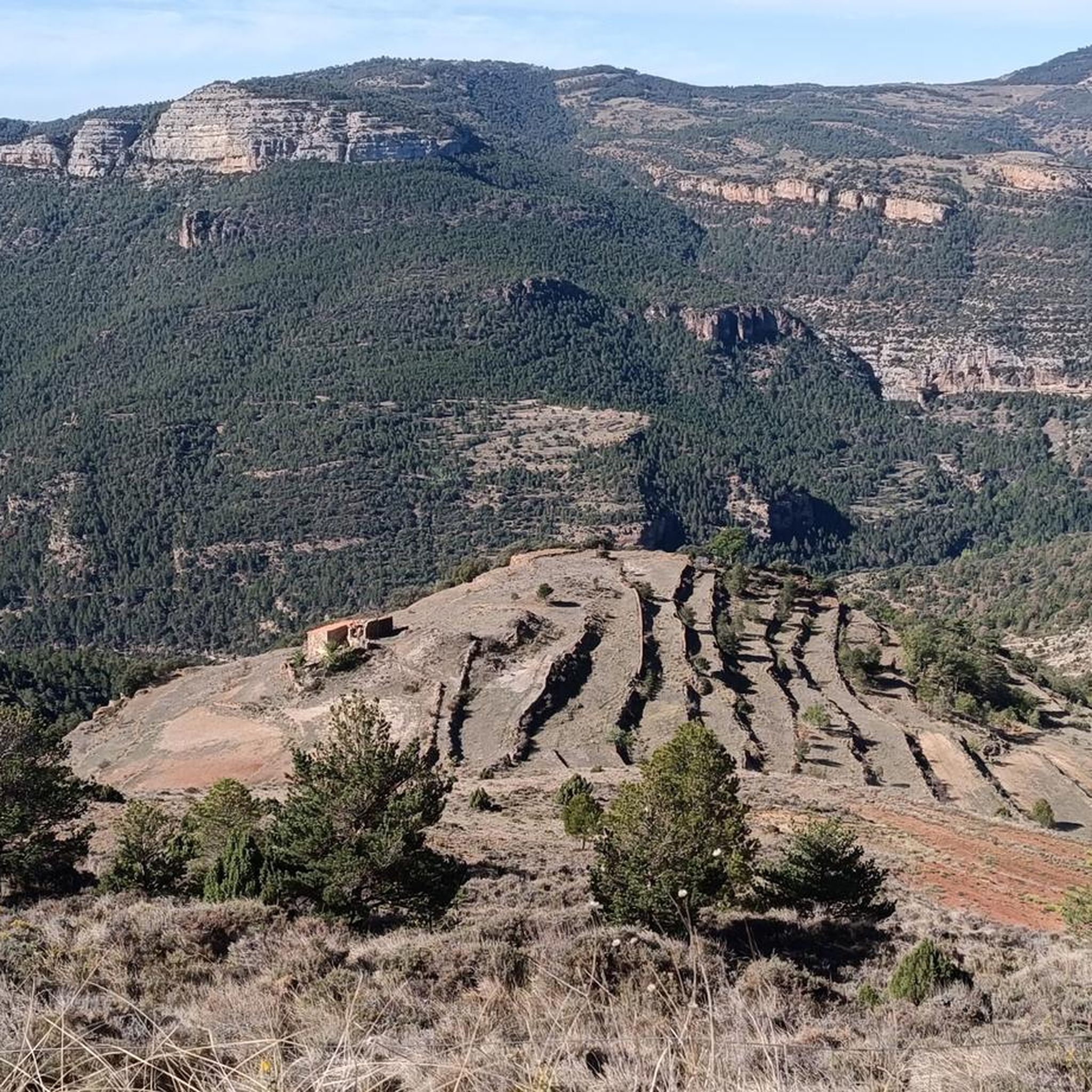
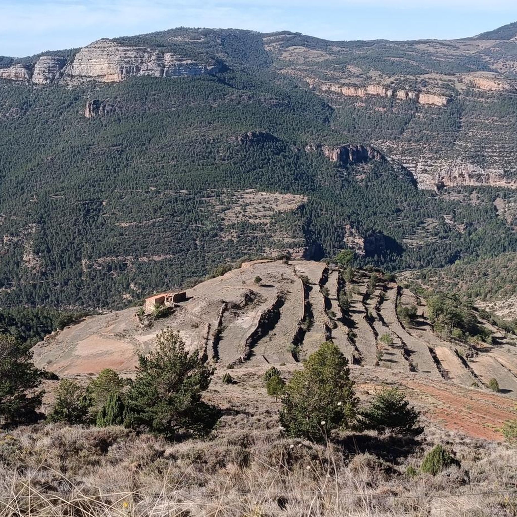
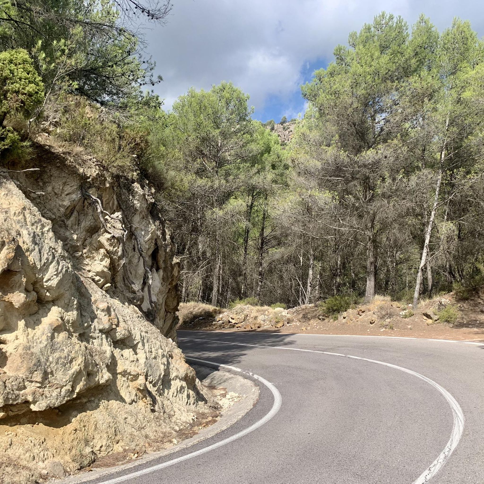
Tips from the Community

Such a beautiful hike! During summer times don't forget to get extra water with you, even if hiking close to a river
0
0

Swimming in this river is a highly recommended and unique experience. During the summer months, there is a fee to enter (unless you stay overnight at a Montanejos accommodation). There is also a charge for parking in the roadside lot. Outside of peak season, both access and parking are free.
0
0

Spectacular natural balcony, on a vertical ledge, the descent from here towards the swamp is brutal
0
0

Beautiful bathing area in Montanejos
2
0
Beautiful village with wonderful bathing spots
1
0

Get close to the river bank and don't miss the views
2
1

Picnics are not allowed on site. In April it was relatively empty, parking was free. It is probably very crowded in summer.
2
1
Relatively empty in the low season (April), parking was free.
2
0
Frequently Asked Questions
How many running routes are available around Zucaina?
Zucaina offers a wide selection of running routes, with over 25 trails available for exploration. These routes cater to various fitness levels, ranging from moderate paths to challenging trail runs with significant elevation gains.
What kind of terrain can I expect on the jogging trails in Zucaina?
The jogging trails in Zucaina feature diverse terrain, from forested paths to mountainous landscapes. You'll encounter significant elevations, providing challenging climbs and panoramic views, as well as routes winding through river valleys and near natural pools. The region's natural environment is rich with canyons, mountain passes, and peaks.
Are there any family-friendly running paths in Zucaina?
While many routes in Zucaina are rated as difficult, there are moderate options available that might be suitable for families looking for a less strenuous run or walk. It's always recommended to check the specific route details for elevation and distance to ensure it matches your family's ability. The area's natural beauty, with rivers and natural pools, makes for a pleasant outdoor experience.
Can I bring my dog on the running trails in Zucaina?
Many outdoor trails in the Comunitat Valenciana are dog-friendly, but specific regulations can vary. It's generally advisable to keep dogs on a leash, especially in protected natural areas or near wildlife. Always ensure your dog is well-behaved and that you clean up after them to preserve the natural environment for everyone.
Are there any circular running routes in the Zucaina area?
Yes, Zucaina offers several circular running routes. For example, the Arenos Reservoir – Mijares River Narrows loop from Montanejos is a challenging 15.5-mile (24.9 km) path that provides varied landscapes. Another option is the Corral del Rosaire loop from Cirat, a 6.5-mile (10.4 km) trail through forests and open terrain.
What natural attractions can I see while running in Zucaina?
Zucaina's running routes are surrounded by stunning natural features. You can encounter impressive canyons like Estrechos de Chillapájaros and the Mijares River Narrows. The region also boasts picturesque waterfalls such as El Chorro, and offers views of significant peaks like Penyagolosa Summit, the highest point in the Valencian Community.
Is there parking available near the trailheads in Zucaina?
Parking availability varies by trailhead. For popular routes or those starting from villages like Montanejos or Cirat, you can often find designated parking areas. It's advisable to check specific route descriptions or local information for detailed parking instructions before heading out.
What is the best time of year to go jogging in Zucaina?
Zucaina's climate makes it suitable for jogging for much of the year. Spring and autumn generally offer pleasant temperatures for outdoor activities. Summer can be warm, especially at midday, so early morning or late afternoon runs are recommended. Winter can be cooler, particularly at higher elevations, but still offers crisp, clear days for running.
Are there any routes with significant elevation gain for experienced trail runners?
Absolutely. Zucaina is known for its mountainous terrain, offering challenging routes with substantial elevation gains. The Monte la Copa and Morrón de Campos Trail, for instance, is an 8.5-mile (13.6 km) route with over 560 meters of ascent, providing panoramic views and a demanding experience for seasoned runners.
What do other runners say about the jogging routes in Zucaina?
The running routes in Zucaina are highly regarded by the komoot community, boasting an average score of 5.0 stars from user reviews. Runners often praise the diverse terrain, the stunning mountainous backdrops, and the refreshing natural water features that make for a unique and rewarding outdoor experience.
Are there any routes that pass by natural pools or rivers for a refreshing stop?
Yes, the region is rich in natural water features. The vicinity of Zucaina includes the Fuente de los Baños de Montanejos, known for its thermal waters and natural pools, which can be a perfect spot for a refreshing break. Routes like the Arenos Reservoir – Mijares River Narrows loop from Montanejos offer views of the Mijares River and its narrows.
Are there any easy or beginner-friendly running trails in Zucaina?
While many of Zucaina's trails are rated as difficult, there are a few moderate options available. These routes typically have less extreme elevation changes and shorter distances, making them more accessible for beginners or those looking for a lighter jog. Always check the route's difficulty rating and elevation profile before you start.
Can I access Zucaina's running trails using public transport?
Public transport options to Zucaina and its trailheads might be limited, as it is a more rural area. It's advisable to research local bus schedules or consider driving to access the starting points of the running routes. Some routes may start from villages that have more accessible transport links.
Most popular attractions around Zucaina

Get inspired with the komoot mobile app


Explore more
Browse the best Running Trails & Routes in other regions.
