The best walks and hikes around Villagatón
4.1
(24)
127
hikers
8
hikes
Hiking around Villagatón offers diverse landscapes within the mountainous Montes de León, with altitudes ranging from 850 to 1400 meters. The region is characterized by significant peaks, numerous small rivers feeding into the Duero basin, and varied forests including oak, holm oak, and pine. Hikers can explore terrain featuring lush riverside vegetation, dense woodlands, and open mountain paths.
Best hiking trails around Villagatón
- The most popular hiking route is Embalse de Bembibre, Pozo de las Hoyas y Matavenero – desde…
Last updated: June 23, 2026
4.8
(11)
54
hikers
10.9km
03:13
310m
310m
Moderate hike. Good fitness required. Mostly accessible paths. Sure-footedness required.
4.5
(2)
7
hikers
5.84km
01:45
170m
170m
Easy hike. Great for any fitness level. Easily-accessible paths. Suitable for all skill levels.

Sign up for free
5.0
(2)
7
hikers
5.25km
01:26
80m
80m
Easy hike. Great for any fitness level. Easily-accessible paths. Suitable for all skill levels.
4.0
(1)
5
hikers
12.7km
03:27
180m
180m
Moderate hike. Good fitness required. Easily-accessible paths. Suitable for all skill levels.
4.6
(5)
23
hikers
4.45km
01:11
50m
40m
Easy hike. Great for any fitness level. Easily-accessible paths. Suitable for all skill levels.
Get access to more routes and recommendations from other explorers.
Sign up for free
Already have an account?
Our route recommendations are based on thousands of hikes, rides, and runs completed by other people on komoot.
Start today with a free account
Your next adventure awaits.
Login or Signup
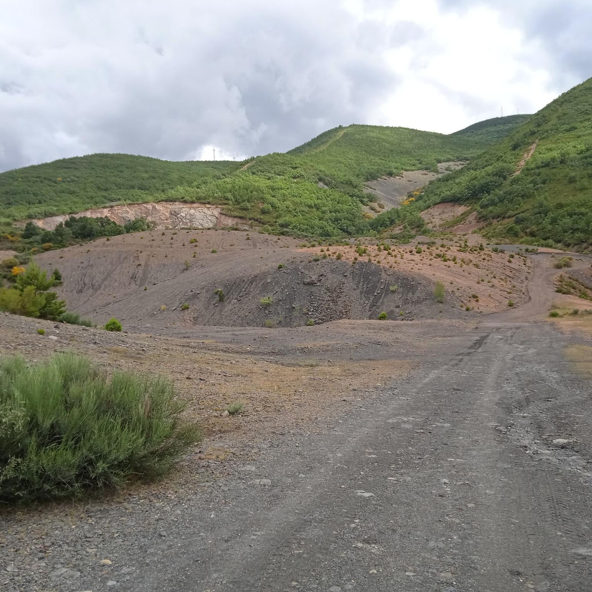
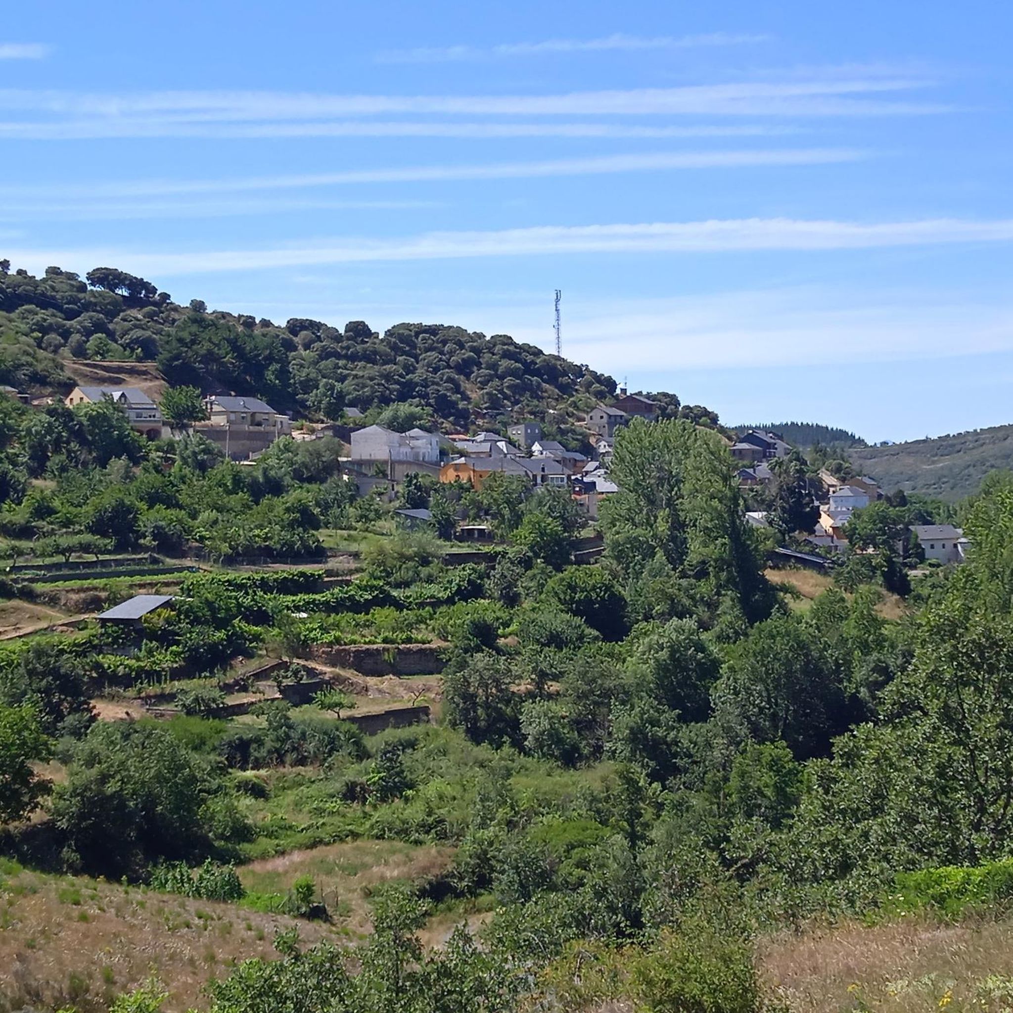
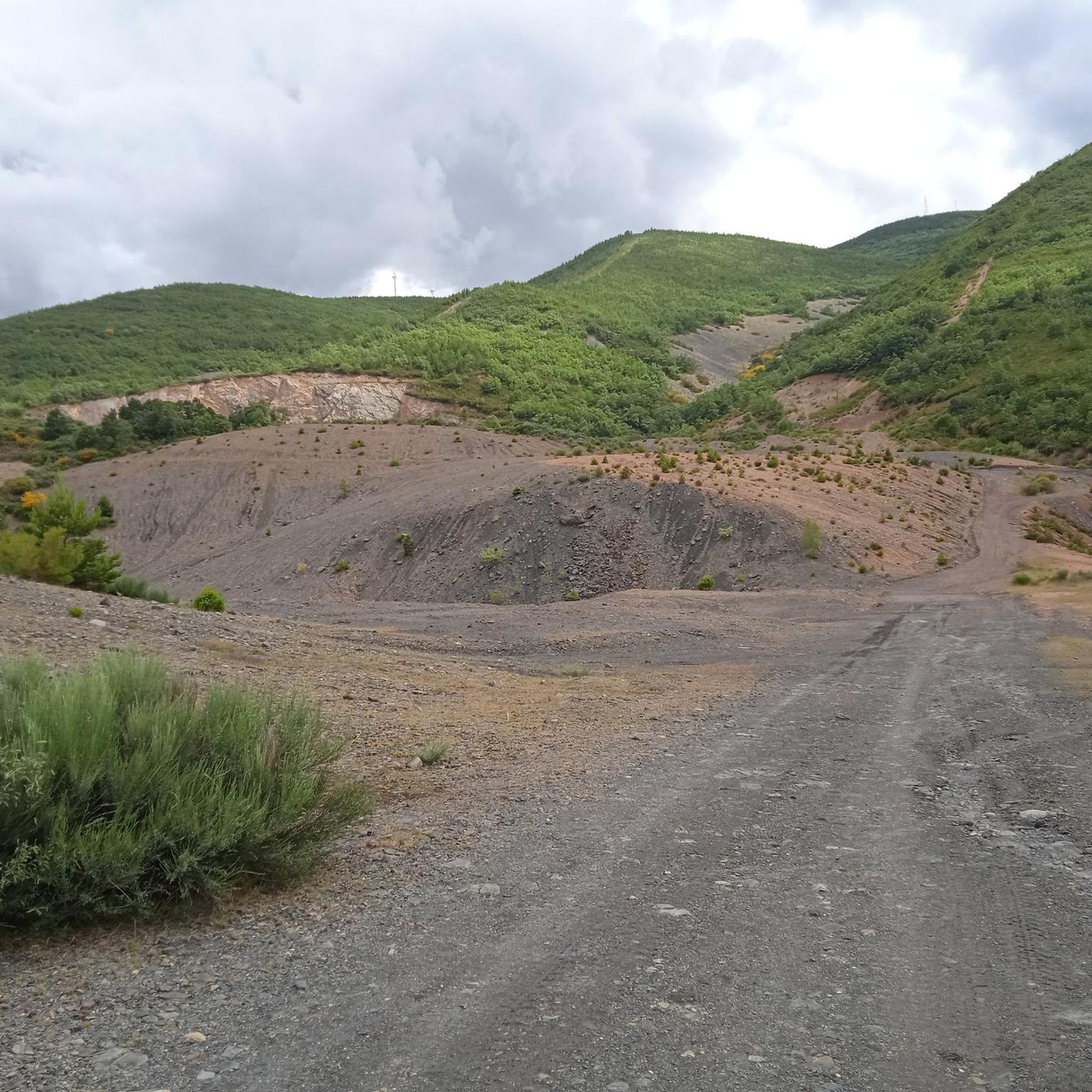
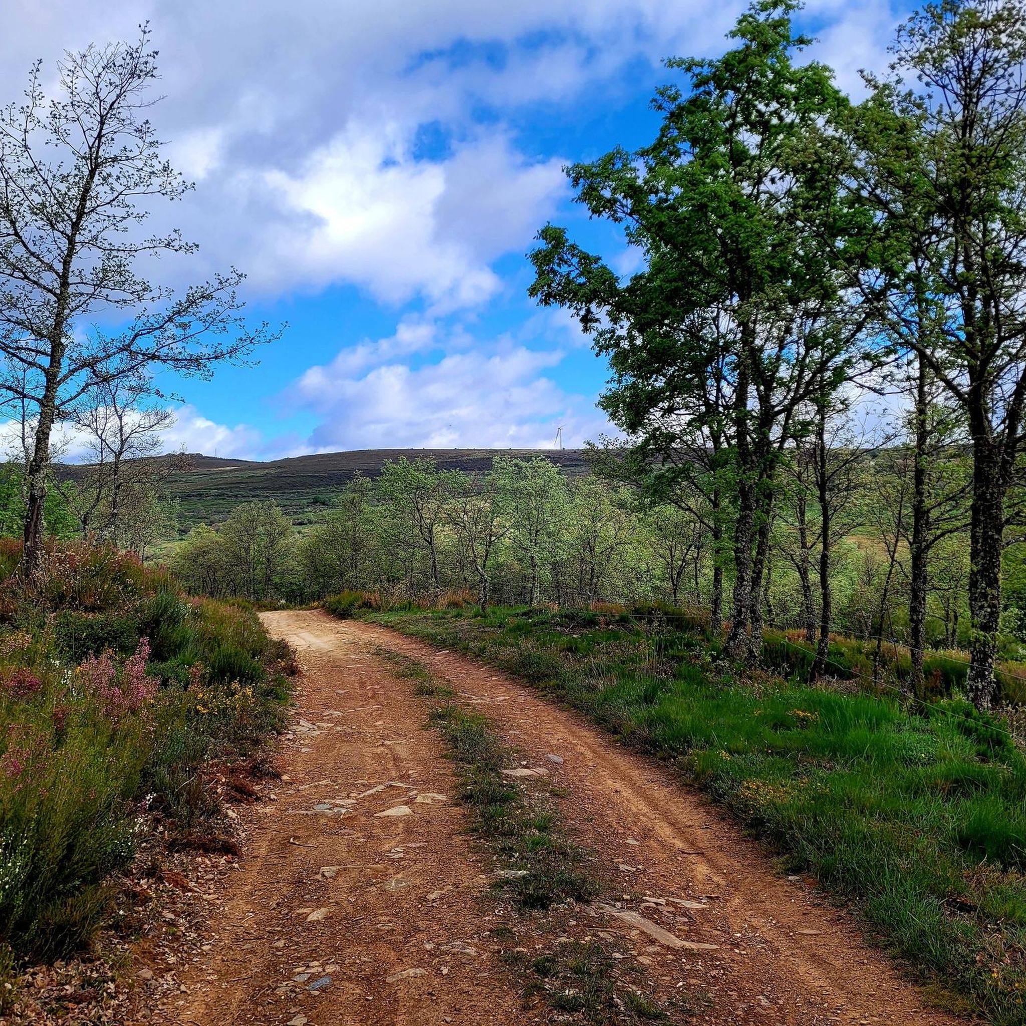
Tips from the Community

The route is approximately 12 kilometres long and of low difficulty, making it accessible to most hikers. It is a perfect place to enjoy nature and disconnect from the daily hustle and bustle.
4
0
The Benamarías reservoir is a lovely place to enjoy a day outdoors. It is located in the town of Benamarías, in the region of La Cepeda, Castilla y León. This reservoir is ideal for activities such as hiking, fishing and, of course, enjoying a nice picnic in its picnic area. The picnic area has tables and benches, making it a perfect place to relax and enjoy nature. In addition, the surroundings offer beautiful views and a peaceful atmosphere, ideal for disconnecting from the daily hustle and bustle.
4
0
The Benamarías reservoir is a lovely place to enjoy a day outdoors. It is located in the town of Benamarías, in the region of La Cepeda, Castilla y León. This reservoir is ideal for activities such as hiking, fishing and, of course, enjoying a nice picnic in its picnic area. The picnic area has tables and benches, making it a perfect place to relax and enjoy nature. In addition, the surroundings offer beautiful views and a peaceful atmosphere, ideal for disconnecting from the daily hustle and bustle.
4
0

In the Benamarias reservoir you can breathe absolute tranquility, surrounded by nature. The hottest days will be great for us to take a dip.
3
0
Dream picnic area next to the Benamarias reservoir. A quiet and ideal place to take a break and recover energy before continuing with our route.
3
0
A beautiful path that runs through an oak grove that will provide shade for the hottest days. This section is part of the El Celemín itinerary, which starts from Benamarias.
3
0
Nice walk for all audiences. We will walk next to the sound of the water and under a leafy forest while we get to know the mills of the place.
3
0
A good time to take a breather on our route through the Paseo de los Molinos. It is important to take the detour to the right and not cross the bridge that we will see.
3
0
Frequently Asked Questions
How many hiking trails are available in Villagatón?
Villagatón offers a good selection of hiking routes, with over 7 trails available for exploration. These range from easy riverside walks to more challenging mountain paths, catering to various skill levels.
Are there easy hiking trails suitable for beginners in Villagatón?
Yes, Villagatón has several easy trails perfect for beginners or those seeking a relaxed walk. For example, the Cañones del Górgora Trail is an easy 3.6-mile (5.8 km) path, and the Paseo de los Molinos Trail is another easy option, leading through scenic riverside vegetation.
What kind of terrain and elevation changes can I expect on hikes in Villagatón?
Hiking in Villagatón involves diverse terrain within the mountainous Montes de León, with altitudes ranging from 850 to 1400 meters. You can expect varied landscapes from lush riverside paths along the Porquera River to dense woodlands of oak, holm oak, and pine, and open mountain paths. Trails like Embalse de Bembibre, Pozo de las Hoyas y Matavenero – desde San Facundo offer moderate elevation changes, providing a good workout.
Are there family-friendly hiking options in Villagatón?
Absolutely. Many of Villagatón's trails are suitable for families, especially the easier routes that follow rivers or explore forests. The region's natural beauty and varied landscapes provide an engaging experience for all ages. Consider routes that are shorter in distance and have minimal elevation gain for younger children.
What natural or historical landmarks can I see while hiking in Villagatón?
Villagatón's trails often lead to interesting natural and historical sites. You might discover ruins of old water mills, resin mining areas, or intriguing caves drilled into rock, as found along the 'El Muelas' route. The 'Peña del Oso' Trail features well-preserved flour mills and petroglyphs. Additionally, the region has Roman gold mines, including both open-pit and underground workings, particularly around the 'Los Cañones Secretos del Góngora' area. You can also visit the Rabanal del Camino — Village and Church or the Hermitage of the Vera Cruz nearby.
Are dogs allowed on hiking trails in Villagatón?
Generally, dogs are welcome on hiking trails in Villagatón, allowing you to enjoy the natural beauty with your canine companion. However, it's always recommended to keep dogs on a leash, especially in areas with wildlife or near livestock, and to follow local regulations regarding pet waste.
When is the best time of year to hike in Villagatón?
The diverse landscapes of Villagatón offer enjoyable hiking experiences throughout much of the year. Spring and autumn are particularly pleasant, with mild temperatures and vibrant colors in the forests. Summer provides warm weather for exploring, while winter can offer unique snowy landscapes, though some higher-altitude paths might require appropriate gear or be less accessible.
What kind of wildlife might I encounter on the trails in Villagatón?
The mountainous surroundings of Villagatón are home to a variety of wildlife. Hikers might spot deer, hares, foxes, and wild boars. Birdwatchers can look out for crows, kites, vultures, eagles, storks, partridges, and quail. Occasionally, even wolves are present in the more remote areas.
Are there hikes with water features like rivers or reservoirs?
Yes, Villagatón is crisscrossed by numerous small rivers and streams, all feeding into the Duero river basin. The Villagatón reservoir and the Benamarías Reservoir offer opportunities for scenic walks with beautiful views. The Embalse de Bembibre, Pozo de las Hoyas y Matavenero – desde San Facundo route, for instance, provides reservoir views. The 'La Fuentes del Tuerto' Route originates from the birth of three sources that form the Tuerto river, offering a pleasant walk along water.
What do other hikers say about the trails in Villagatón?
The hiking routes in Villagatón are highly rated by the komoot community, with an average score of 4.1 stars from over 20 reviews. Hikers often praise the varied terrain, the quiet woodlands, and the opportunities to discover natural and historical features along the paths.
Can I find circular hiking routes in Villagatón?
Yes, there are circular hiking options available in Villagatón. For example, the 'La Fuentes del Tuerto' Route is an easy 14 km circular walk that allows you to enjoy the mountainous border area between La Cepeda and El Bierzo. The Folgoso Dam – Mill Walk loop from Folgoso de la Ribera is another circular option, offering a shorter, easy walk.
What kind of forests and vegetation will I see while hiking?
Villagatón's landscapes feature diverse forests and vegetation. You'll encounter areas with oak, holm oak, and chestnut trees, which transition into dense vegetation in the humid and shaded narrow channels of streams, where ferns, mosses, and lichens thrive. Pine forests, including wild pines and Pinus pinaster, are also prevalent. Other flora includes birch, alder, poplar, heather, broom, and hawthorn, creating a rich natural tapestry.
Is parking available at trailheads, or can I use public transport to access hikes?
While specific parking information for every trailhead isn't always detailed, many rural hiking areas in Spain typically offer informal parking near starting points in villages or designated areas. For public transport, options might be limited in more remote parts of Villagatón, so planning ahead or using a car is generally recommended for accessing a wider range of trails.
Most popular attractions around Villagatón

Get inspired with the komoot mobile app


Explore more
Browse the best Hikes in other regions.
