The best road cycling routes around Moraña
4.1
(10)
962
riders
37
rides
Road cycling routes around Moraña traverse a landscape characterized by rolling hills, rural roads, and river valleys. The region offers varied terrain, from gentle ascents to more sustained climbs, often passing through agricultural areas and small villages. Road cyclists can expect a network of routes that connect local towns and natural features, providing diverse options for exploration.
Best road cycling routes around Moraña
- The most popular road cycling route is Cuntis - San Xurxo de Codeseda Church Loop, a…
Last updated: October 21, 2026
12
riders
41.2km
02:00
550m
550m
Cycle 25.6 miles (41.2 km) through Galicia's hilly landscapes to the historic Church of San Xurxo de Codeseda, a moderate road ride.
1
riders
28.5km
01:36
460m
460m
Moderate road ride. Good fitness required. Mostly well-paved surfaces and easy to ride.

60
riders
55.4km
02:50
870m
870m
Moderate road ride. Good fitness required. Some segments of this route may be unpaved and difficult to ride.
14
riders
Moderate road ride. Good fitness required. Mostly well-paved surfaces and easy to ride.
16
riders
174km
09:54
2,630m
2,630m
Hard road ride. Very good fitness required. Some segments of this route may be unpaved and difficult to ride.
Get access to more routes and recommendations from other explorers.
Already have an account?
Our route recommendations are based on thousands of hikes, rides, and runs completed by other people on komoot.
Start today with a free account
Your next adventure awaits.
Tips from the Community


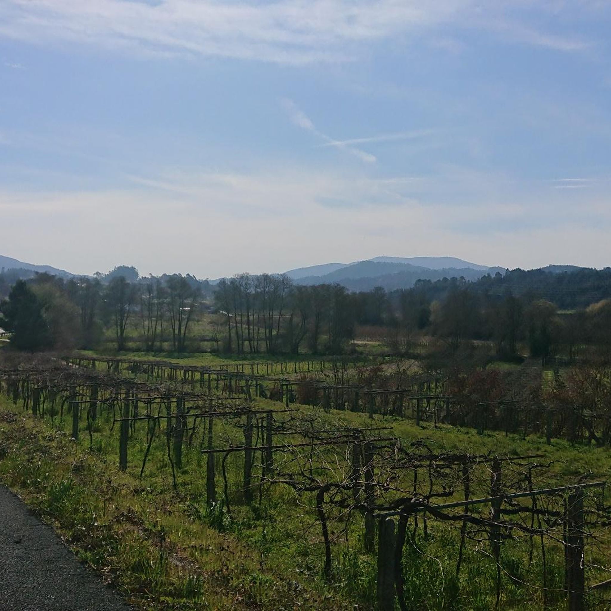
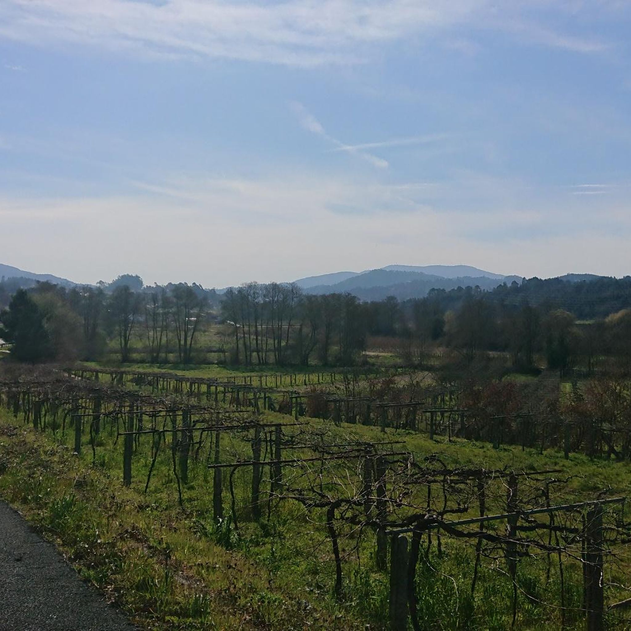
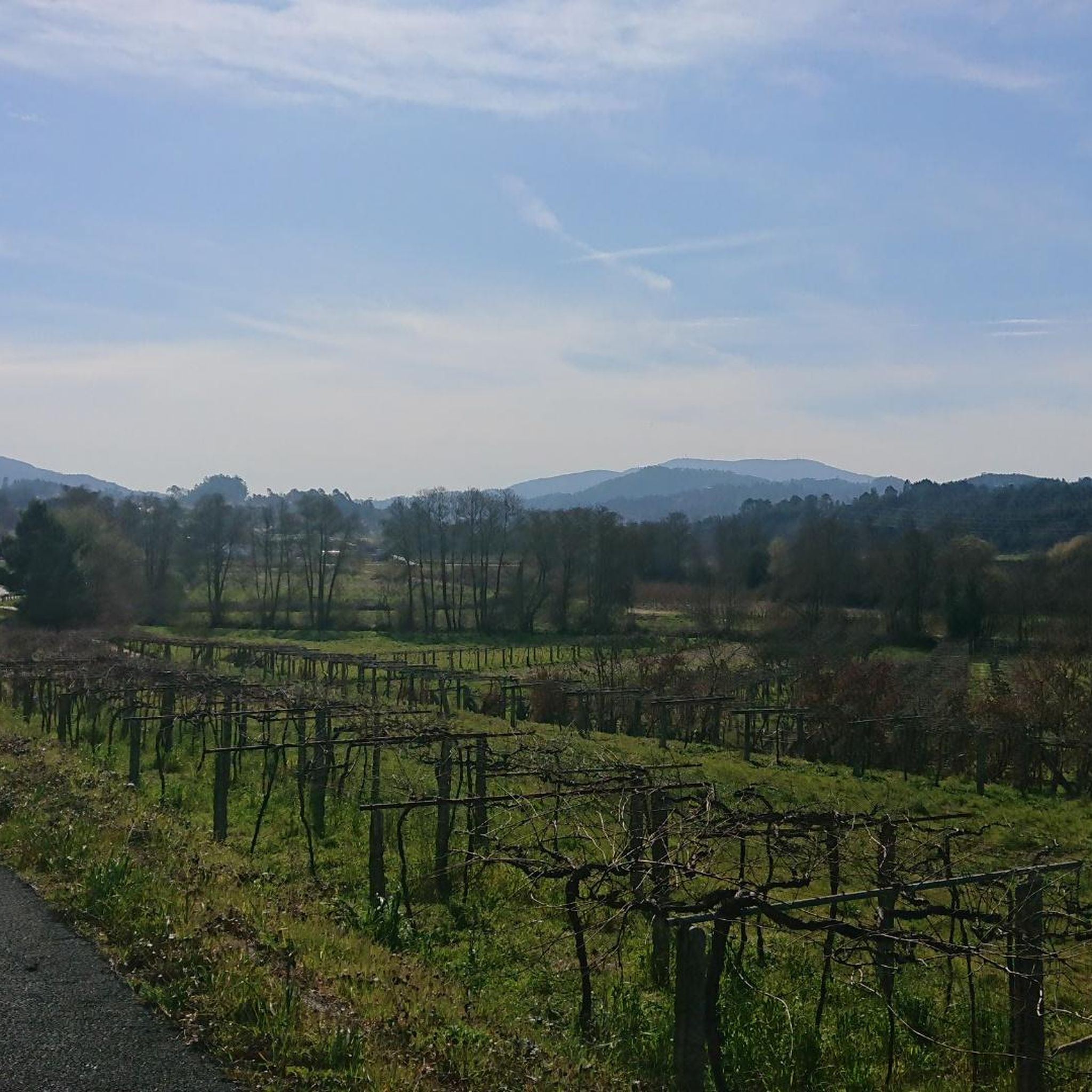
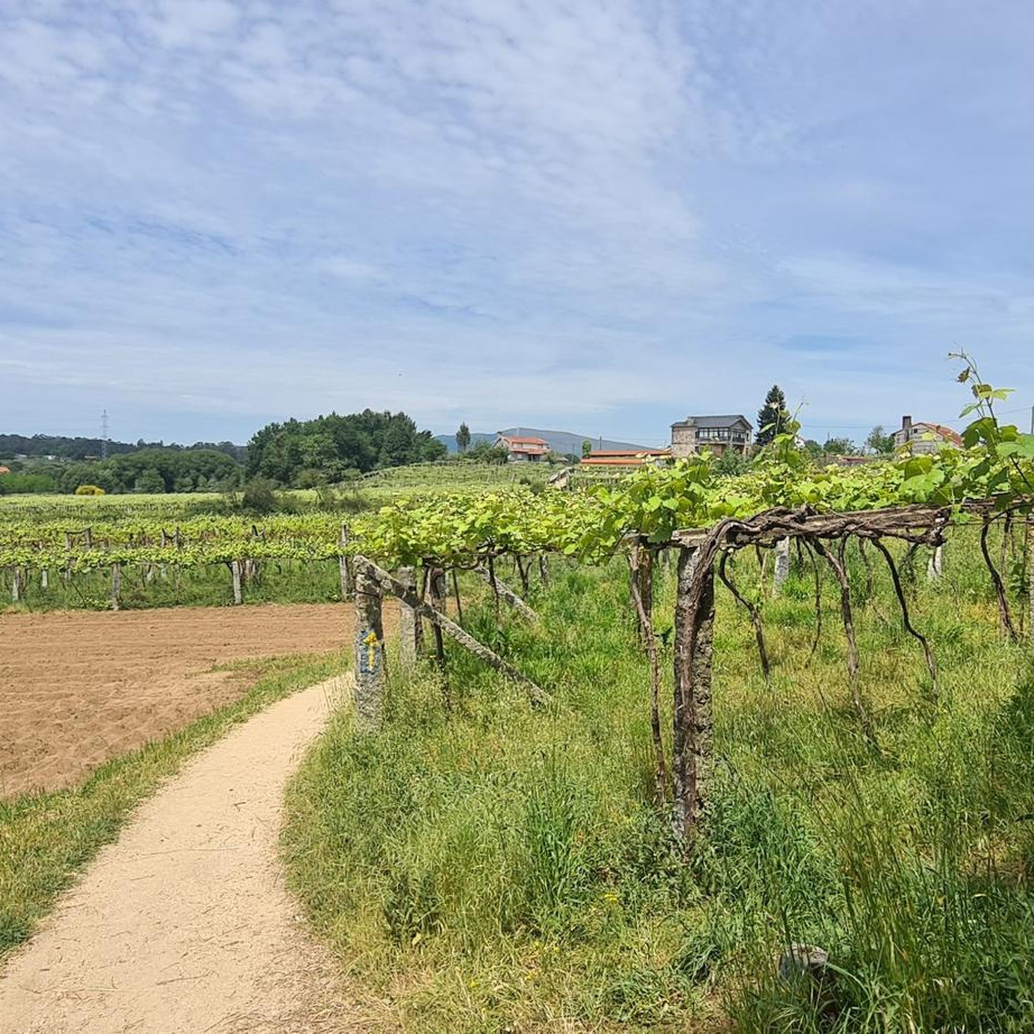
Pilgrimage route in the middle of vineyards 🤙
0
1


Good area to take a walk and enjoy the views
0
0

If you decide to explore this route, you will be surrounded by nature, history and breathtaking views. Enjoy your hike! 🏞️🚶♂️🥾🚵🌞
1
0

Along the vines. Unfortunately there was nothing to snack on yet.
1
0
Quaint and ancient stone bridge.
2
0
Frequently Asked Questions
How many road cycling routes are available in Moraña?
There are over 35 road cycling routes around Moraña, offering diverse options for exploration. These routes range from easy rides to more challenging paths with significant elevation gain.
Are there easy road cycling routes suitable for beginners in Moraña?
Yes, Moraña offers several easy road cycling routes. For instance, the Path Through the Vineyards – Caldas de Reis loop from Barro is an easy 15.4-mile (24.8 km) route that provides a gentle ride through scenic areas.
What kind of terrain can I expect on road cycling routes in Moraña?
Road cycling routes in Moraña typically traverse a landscape characterized by rolling hills, rural roads, and river valleys. You'll encounter varied terrain, from gentle ascents to more sustained climbs, often passing through agricultural areas and small villages.
Are there any challenging road cycling routes for experienced cyclists in Moraña?
Yes, Moraña has routes for advanced cyclists. A notable difficult route is the Ponte Sampaio Bridge – Pontevea Medieval Bridge loop from A Bouza, which spans 108.2 miles (174.1 km) with over 2,600 meters of elevation gain.
Can I find circular road cycling routes in Moraña?
Many of the road cycling routes in Moraña are circular. Examples include the popular Cuntis - San Xurxo de Codeseda Church Loop and the Gentle Climb loop from Cemiterio Novo do Couso, allowing you to start and end at the same point.
What are some scenic viewpoints I can encounter on road cycling routes in Moraña?
While cycling in Moraña, you can find routes that pass by scenic viewpoints. Consider routes that offer views from areas like Monte Xiabre or Monte Outeiro dos Corvos, which provide panoramic vistas of the surrounding landscape.
Are there any waterfalls or natural attractions near the road cycling routes?
Yes, some routes may bring you close to natural attractions. For example, you might find routes that pass near the Barosa Waterfall and Mills or the Valga Mills Waterfall, offering picturesque stops.
What do other road cyclists enjoy most about road cycling in Moraña?
The area is highly rated by the komoot community, with an average score of 4.2 stars from over 7 reviews. Reviewers often praise the varied terrain, the network of rural roads connecting local towns, and the scenic river valleys.
What is a popular moderate road cycling route in Moraña?
A popular moderate route is Caldas de Reis - Cuntis - return via the Umia River. This 17.7-mile (28.5 km) path follows the Umia River, providing pleasant views of the waterway and surrounding natural areas.
Are there routes that follow river paths in Moraña?
Yes, several routes incorporate river paths. The Caldas de Reis - Cuntis - return via the Umia River route, for instance, follows the Umia River, offering a scenic ride alongside the water.
How long do road cycling routes in Moraña typically take to complete?
Route durations vary significantly based on distance and difficulty. Easy routes like the Path Through the Vineyards – Caldas de Reis loop from Barro might take around 1 hour 8 minutes, while longer, more challenging routes can take several hours, such as the Ponte Sampaio Bridge – Pontevea Medieval Bridge loop from A Bouza which can take over 9 hours.
Most popular attractions around Moraña

Get inspired with the komoot mobile app


Explore more
Browse the best Road cycling routes in other regions.
