The best road cycling routes around La Cerollera
5.0
(7)
218
riders
14
rides
Road cycling routes around La Cerollera traverse the Matarraña region, characterized by diverse topography including forests, rolling hills, and river valleys. The area offers quiet roads with minimal traffic, providing an immersive cycling experience. Cyclists can expect significant elevation gains, with routes often including ascents to over 1,000 meters.
Best road cycling routes around La Cerollera
- The most popular road cycling route is Torre Miró Loop from Monroyo, a 29.0 miles (46.7 km) trail that takes 2 hours 30…
Last updated: October 14, 2026
16
riders
46.7km
02:30
870m
870m
Moderate road ride. Good fitness required. Mostly well-paved surfaces and easy to ride.
4
riders
84.6km
04:25
1,380m
1,380m
Hard road ride. Very good fitness required. Mostly well-paved surfaces and easy to ride.

26
riders
58.7km
03:02
1,040m
1,050m
Hard road ride. Very good fitness required. Mostly well-paved surfaces and easy to ride.
5.0
(4)
33
riders
47.6km
02:26
700m
700m
Moderate road ride. Good fitness required. Some segments of this route may be unpaved and difficult to ride.
5.0
(1)
18
riders
63.8km
03:21
940m
940m
Hard road ride. Very good fitness required. Mostly well-paved surfaces and easy to ride.
Get access to more routes and recommendations from other explorers.
Already have an account?
Our route recommendations are based on thousands of hikes, rides, and runs completed by other people on komoot.
Start today with a free account
Your next adventure awaits.
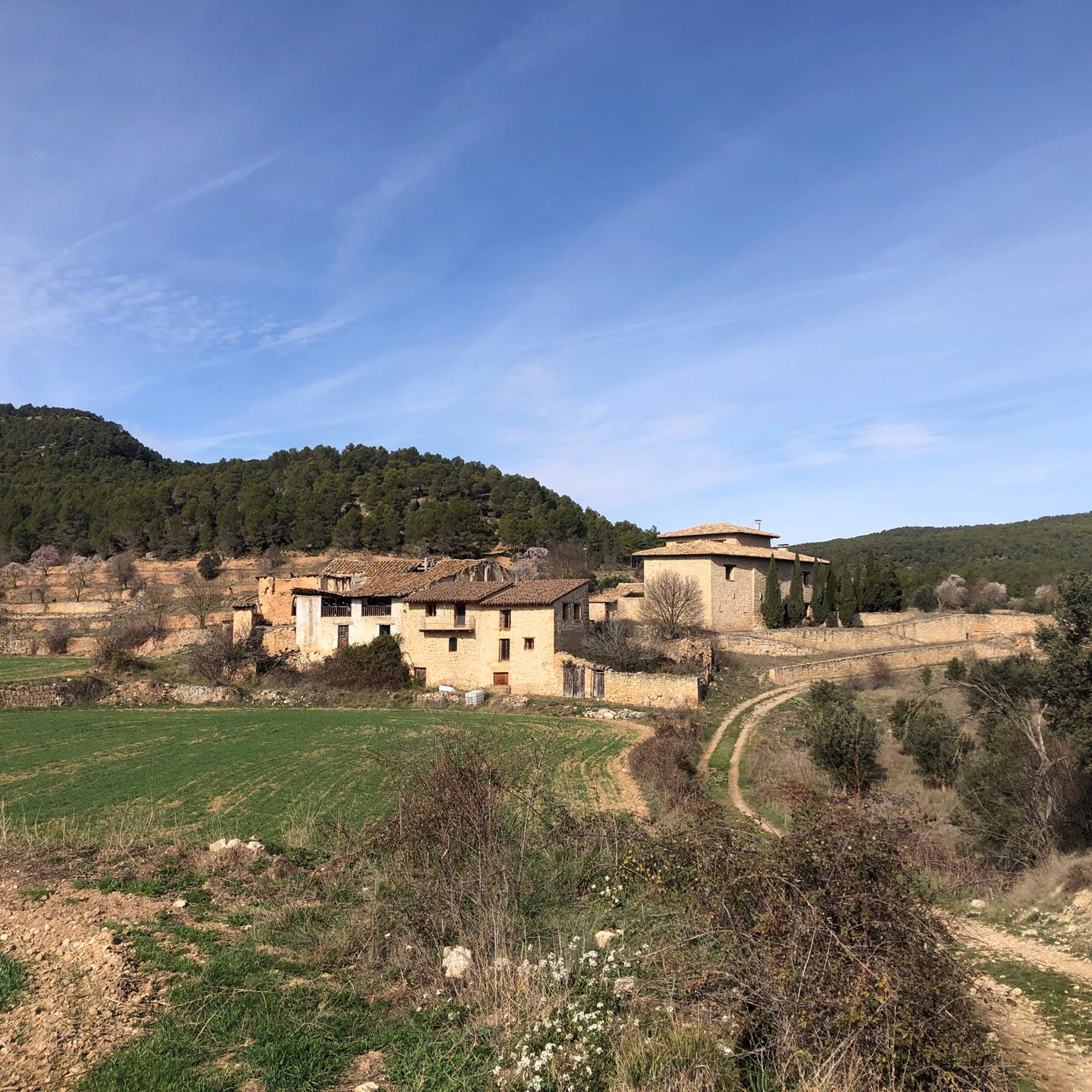
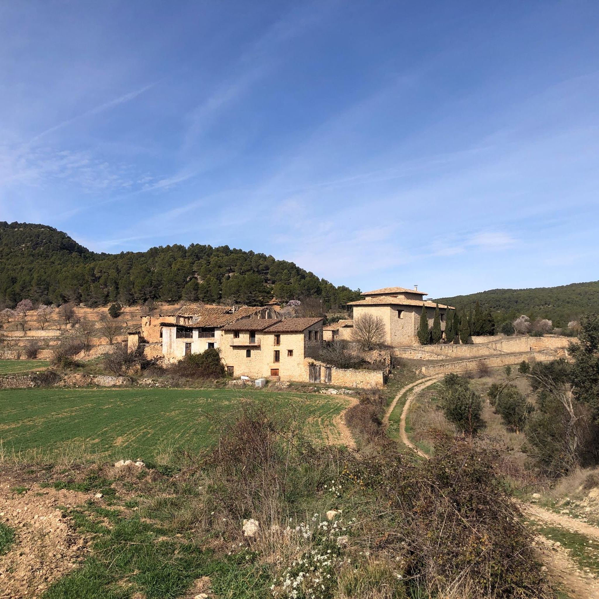
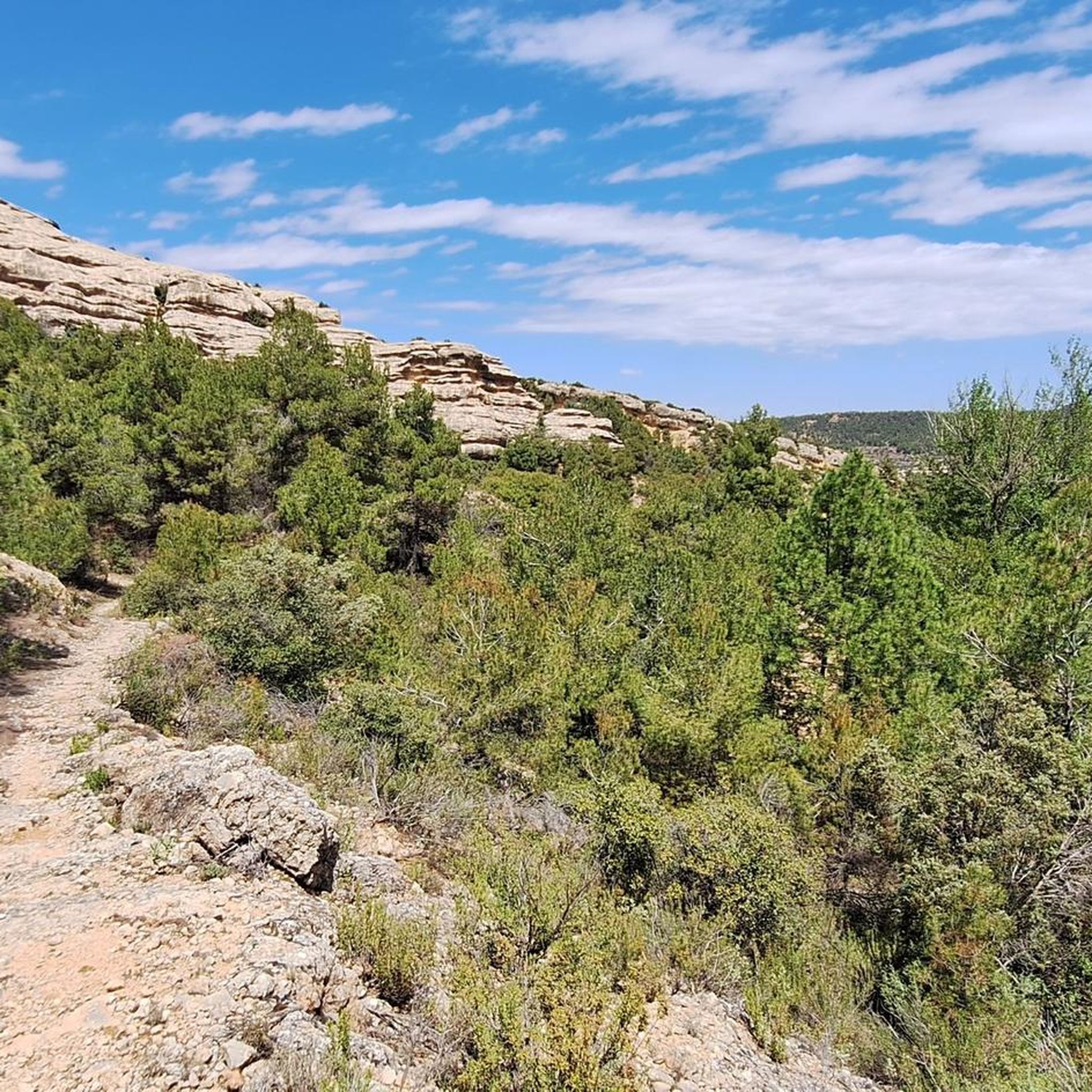

Tips from the Community

Beautiful climb, quiet and with many views
0
0

Beautiful town with good trails in the area, controlled traffic and parking for non-residents
1
0


The town consists of a relatively new section south of the Matarrana River and the original historic town on the other bank. The old city is built on a relatively steep hill. At the top is the beautiful Castillo (castle) de Valderrobres.
0
0
Historical and small place with an area of 97 km². Beceite has only 561 inhabitants.
1
0


Very refreshing place with loud dance music coming from the chiringuito. Not for me.
1
0

Frequently Asked Questions
What kind of terrain can I expect on road cycling routes around La Cerollera?
The Matarraña region, where La Cerollera is located, offers diverse terrain for road cyclists. You'll encounter routes that traverse forests, rolling hills, and river valleys, providing a mix of challenging climbs and enjoyable descents. Many routes feature significant elevation gains, with ascents often reaching over 1,000 meters.
Are there challenging road cycling routes for experienced riders?
Yes, La Cerollera and the surrounding Matarraña region are well-suited for experienced road cyclists seeking a challenge. Routes often include substantial elevation gains and varied terrain. For example, The villages of Lower Aragon - circular from Monroyo is a difficult 52.6-mile path with extensive climbs and descents. Another demanding option is the Fuentespalda – Valderrobres Stone Bridge loop from Monroyo / Montroig, which covers 36.6 miles with over 1,000 meters of elevation gain.
What natural features or landmarks can I see while road cycling near La Cerollera?
The region is rich in natural beauty. You can expect to cycle through the Matarraña forests, characterized by diverse flora like Aleppo pine and holm oak. La Cerollera itself offers excellent panoramic views over the expansive forested landscape towards the Maestrazgo region. The area is also situated between the Guadalope and Matarraña rivers, adding to the scenic routes. While cycling, you might pass by charming towns and historical sites, such as the Old Town of Ráfales or the Bridge Over the Tastavins River.
What historical or cultural attractions are near the road cycling routes?
Beyond the natural landscapes, the area offers several historical and cultural points of interest. You could visit the 18th-century Baroque church of Nuestra Señora de los Remedios in La Cerollera, or the 16th-century Chapel of San Cristobal on a nearby hill. Other notable attractions include the Sanctuary of the Virgin of the Fountain and Old Bridge, and the historic town of Fuentespalda. Many routes pass through or near these charming villages and historical sites.
Is parking available for cyclists in La Cerollera?
While specific designated cyclist parking areas are not detailed, La Cerollera and nearby towns like Monroyo are cycling-friendly. It is generally possible to find parking in the towns themselves, especially near accommodations or public areas, to start your road cycling routes. We recommend checking local signage upon arrival.
Do I need any special permits for road cycling in the area?
No specific permits are generally required for road cycling on public roads in the La Cerollera region. You are free to explore the network of quiet, scenic roads. However, always respect local regulations and private property.
What is the best time of year for road cycling in La Cerollera?
The Matarraña region generally offers pleasant conditions for road cycling for much of the year. Spring and autumn are often ideal, with milder temperatures and beautiful scenery. Summers can be warm, especially at lower elevations, so early morning or late afternoon rides are recommended. Winters are cooler but can still offer clear, crisp days for cycling, particularly at lower altitudes.
Are the road cycling routes around La Cerollera suitable for families or dog-friendly?
Road cycling routes in La Cerollera are primarily designed for cyclists and often involve significant distances and elevation changes, making them generally less suitable for young children or family outings unless they are experienced cyclists. As for dogs, road cycling is typically not dog-friendly due to safety concerns on public roads and the sustained effort required. For family-friendly or dog-friendly outdoor activities, you might consider the region's hiking trails, such as 'Ruta Nevera Caubet' or 'Ruta Las Fuentes'.
What do other road cyclists enjoy the most about road cycling in La Cerollera?
The road cycling experience around La Cerollera is highly rated by the komoot community, with an average score of 5.0 stars. Cyclists frequently praise the 'lonely roads' with minimal traffic, allowing for an immersive experience in nature. The diverse terrain, from forests to rolling hills, and the challenging ascents are also often highlighted as key attractions.
Are there any easy road cycling routes suitable for beginners?
While the region is known for its challenging terrain, there are moderate routes that might be suitable for beginners with some cycling experience. For instance, the Torre Miró Loop from Monroyo is a moderate 29.0-mile route with notable elevation gain, offering a good introduction to the area's cycling. Another moderate option is the Castle of the Calatravos – Castelserás loop from Belmonte de San José / Bellmunt de Mesquí, covering 36.6 miles with less elevation than some of the more difficult routes.
How many road cycling routes are available around La Cerollera?
There are over 10 road cycling routes available around La Cerollera on komoot, offering a variety of distances and difficulties to explore the Matarraña region. These routes are highly rated by the komoot community, with an average score of 5.0 stars.
Are there any circular road cycling routes in the area?
Yes, many of the road cycling routes around La Cerollera are circular, allowing you to start and end in the same location. Examples include the Torre Miró Loop from Monroyo and The villages of Lower Aragon - circular from Monroyo, both offering comprehensive tours of the region's landscapes and villages.
Most popular attractions around La Cerollera

Get inspired with the komoot mobile app


Explore more
Browse the best Road cycling routes in other regions.
