The best walks and hikes around Alfarnatejo
4.3
(453)
1,665
hikers
117
hikes
Hiking around Alfarnatejo offers trails through varied landscapes, characterized by rolling hills, forested areas, and limestone formations. The region, part of the Axarquía, provides routes that often feature olive groves and traditional rural scenery. Elevations vary, with some trails leading to prominent local peaks.
Best hiking trails around Alfarnatejo
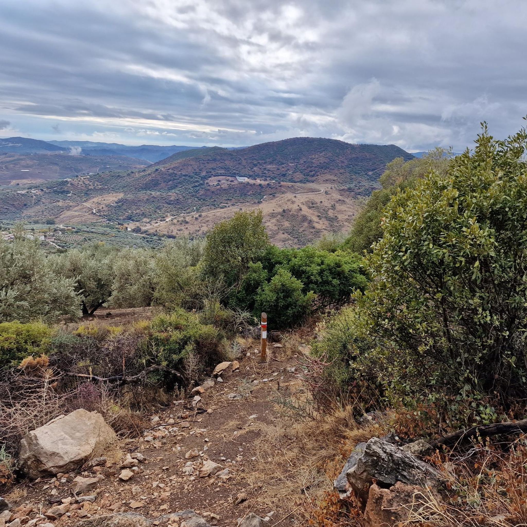
- The most popular hiking route is Forest of Las Morillas – circular from Alfarnate (PR-A 268), a 3.4 miles (5.5 km) trail that takes 1 hour 42 minutes to complete.…
Last updated: October 7, 2026
4.8
(17)
51
hikers
5.51km
01:42
200m
210m
Easy hike. Great for any fitness level. Easily-accessible paths. Suitable for all skill levels.
4.8
(9)
47
hikers
12.5km
04:01
540m
540m
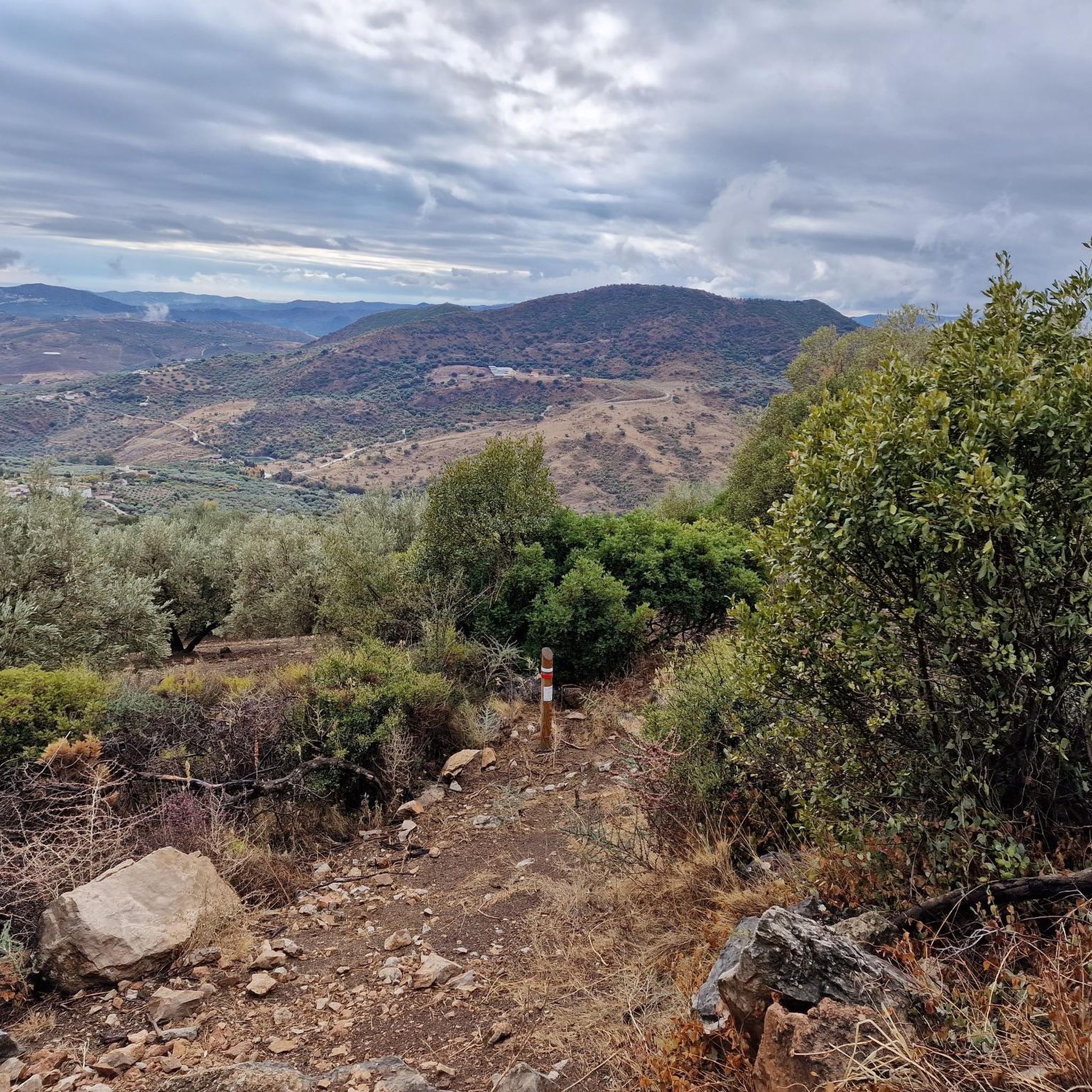
Moderate hike. Good fitness required. Easily-accessible paths. Suitable for all skill levels.

4.9
(8)
25
hikers
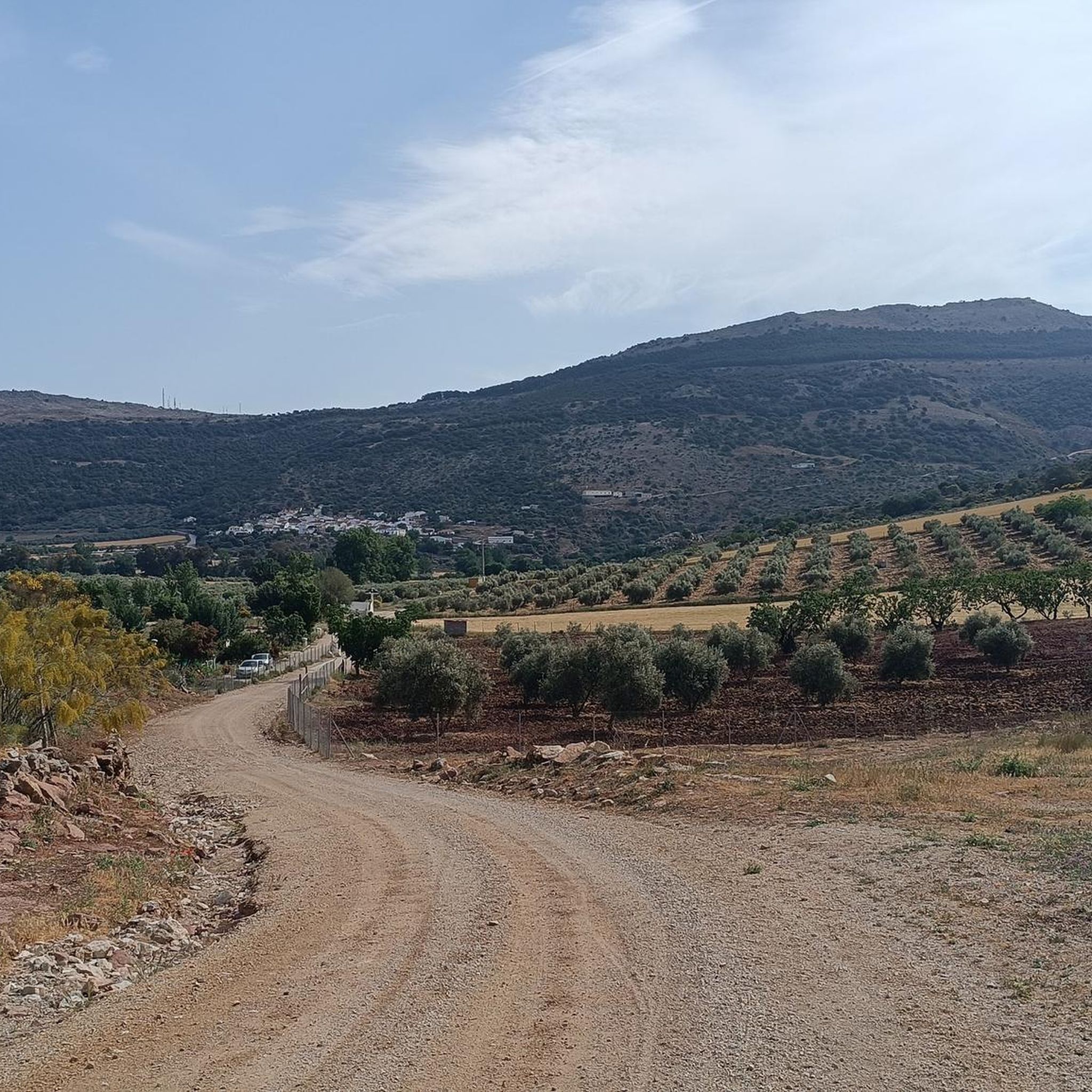
Easy hike. Great for any fitness level. Easily-accessible paths. Suitable for all skill levels.
2.8
(6)
20
hikers
9.71km
03:43
610m
610m
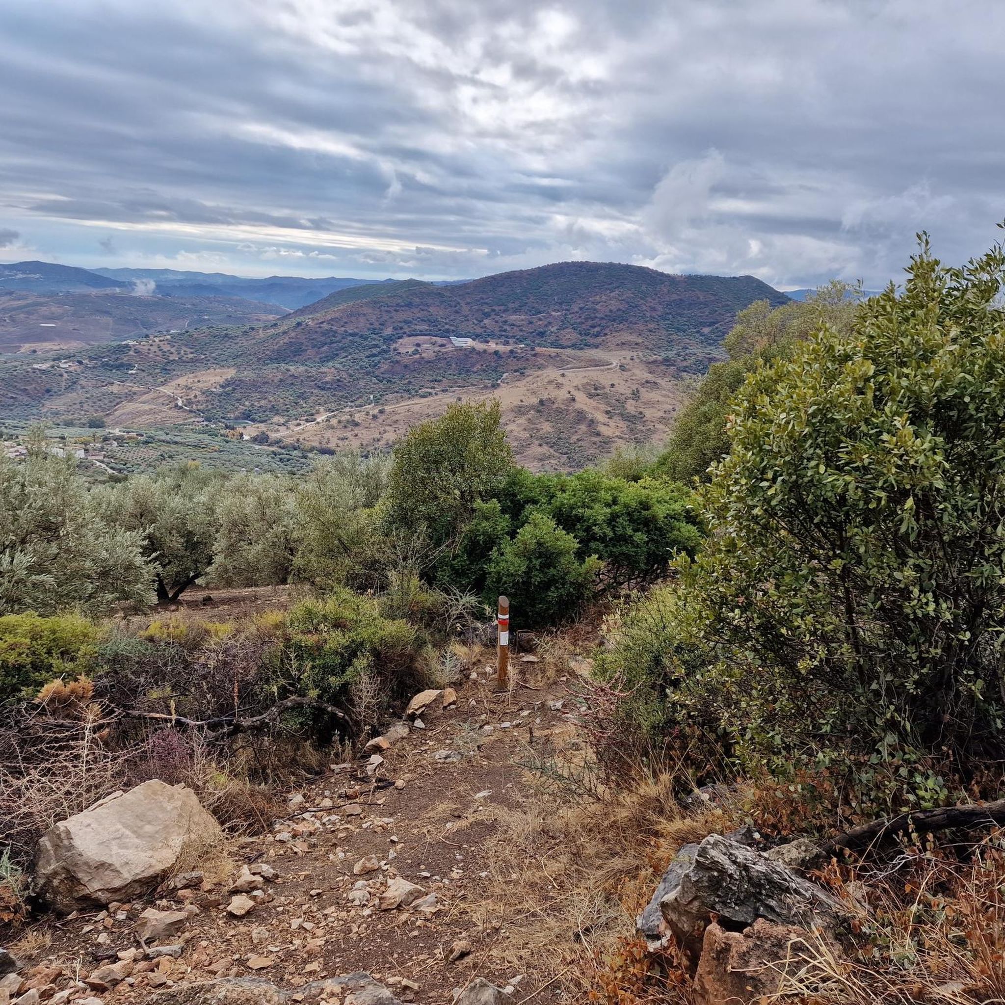
Moderate hike. Good fitness required. Mostly accessible paths. Sure-footedness required.
2.6
(5)
14
hikers
9.01km
03:34
610m
610m
Moderate hike. Good fitness required. Mostly accessible paths. Sure-footedness required.
Get access to more routes and recommendations from other explorers.
Already have an account?
Our route recommendations are based on thousands of hikes, rides, and runs completed by other people on komoot.
Start today with a free account
Your next adventure awaits.

Other adventures around Alfarnatejo

Tips from the Community

A steep scrambly descent West from the summit gives a good circuit.
0
0

Within the Bosque de Las Morillas is this curious rock formation with some caves that make it even more striking to look at.
1
0
From Cerro Olmedo there are beautiful views of the Vilo peak and the landscape that surrounds it. The circular route through the Bosque de las Morillas is an entertaining itinerary without difficulty.
1
0
Curious rock formation with some caves that make it even more striking to look at.
2
0
These ruins located on the Cerro Olmo plateau offer an ideal place to take a break on your route and enjoy the beautiful scenery.
0
1
Lookout point on the Bosque de las Morillas path with beautiful views towards the town of Alfarnate.
0
1
The ascent to the top from the town of Alfarnate can be demanding but it does not have any technical difficulties. The views from its top at 1415 meters above sea level are amazing and without a doubt it is worth getting here.
3
0

In spring a true spectacle full of flowers
0
0
Frequently Asked Questions
Are there easy hiking trails suitable for beginners in Alfarnatejo?
Yes, Alfarnatejo offers several easy trails. For example, the Forest of Las Morillas – circular from Alfarnate (PR-A 268) is an easy 3.4-mile (5.5 km) circular route through woodland, typically taking under two hours to complete. Another accessible option is the Baños de Vilo Hot Springs – Baños de Vilo Bathhouse loop from Baños de Vilo, which is 3.6 miles (5.8 km) long.
What are some more challenging hikes for experienced trekkers?
For those seeking a challenge, the region features trails with significant elevation gain. The Tajos Gomer – Summit of Tajo de Fraile loop from Alfarnatejo is a moderate 6.0-mile (9.7 km) trail with over 600 meters of ascent, leading through mountainous terrain to a summit. Another option is the Peak of Vilo from Alfarnate (PR-A 267), a 7.8-mile (12.5 km) path that ascends to a peak, offering expansive views.
Can I find circular hiking routes in Alfarnatejo?
Yes, circular routes are a popular feature in Alfarnatejo. The Forest of Las Morillas – circular from Alfarnate (PR-A 268) is a well-known example. Another is the Tajos Gomer – Summit of Tajo de Fraile loop from Alfarnatejo, which provides a full loop through the mountainous landscape.
Are there family-friendly hiking options in Alfarnatejo?
Many of the easier, shorter trails are suitable for families. The region's varied landscapes, with olive groves and rural scenery, offer engaging walks. Consider routes with less elevation gain and shorter distances, such as the easy circular trails, to ensure an enjoyable experience for all ages.
Which hikes offer the best panoramic views of the Alfarnatejo area?
Hikes that ascend to higher points or mountain passes often provide the most rewarding views. The Peak of Vilo from Alfarnate (PR-A 267) is known for its expansive vistas. Additionally, viewpoints like Boquete de Zafarraya Viewpoint and El Boquete Viewpoint are excellent spots to take in the scenery, often accessible via hiking trails or short detours.
What can I see along the hiking trails in Alfarnatejo?
The trails often lead through diverse landscapes including olive groves, forested areas, and limestone formations. You might encounter natural landmarks such as the Hundred‑Spout Fountain or the Baños de Vilo Hot Springs. The region is also dotted with traditional rural scenery and offers glimpses of the La Viñuela Reservoir from certain vantage points.
When is the best time of year to go hiking in Alfarnatejo?
The best time for hiking in Alfarnatejo is typically during the spring (March to May) and autumn (September to November). During these seasons, the weather is milder and more pleasant for outdoor activities. Summers can be very hot, making early morning or late afternoon hikes preferable, while winters are generally mild but can bring cooler temperatures and occasional rain.
Are the hiking trails in Alfarnatejo dog-friendly?
Many trails in the Alfarnatejo area are suitable for dogs, especially those in natural, rural settings. However, it's always recommended to keep dogs on a leash, especially in areas with livestock or protected wildlife. Always carry water for your dog and clean up after them. Check local regulations for specific trails or natural parks before you go.
Is parking available at the trailheads in Alfarnatejo?
While specific parking information for every trailhead isn't always detailed, Alfarnatejo and its surrounding villages typically offer public parking areas. For popular routes, you can often find designated parking near the starting points or in the nearest village. It's advisable to arrive early, especially on weekends, to secure a spot.
Are there opportunities for wild swimming near the hiking trails?
While Alfarnatejo is inland, the nearby La Viñuela Reservoir offers opportunities for water activities, though official swimming areas might be limited. The Baños de Vilo Hot Springs provide a unique natural bathing experience, which can be combined with a hike in the area.
What should I wear and bring for hiking in Alfarnatejo?
For hiking in Alfarnatejo, wear comfortable, layered clothing suitable for the season, sturdy hiking boots, and sun protection (hat, sunglasses, sunscreen). Always carry sufficient water, snacks, a map or GPS device, a first-aid kit, and a fully charged phone. Depending on the trail, trekking poles can also be beneficial, especially on ascents and descents.
What do other hikers enjoy the most about hiking in Alfarnatejo?
The area is highly rated by the komoot community, with an average score of 4.2 stars. Reviewers often praise the quiet woodlands, the varied terrain from rolling hills to limestone outcrops, and the expansive views from higher elevations. The network of trails is appreciated for offering options for different ability levels.
Most popular routes around Alfarnatejo
Most popular attractions around Alfarnatejo

Get inspired with the komoot mobile app


Explore more
Browse the best Hikes in other regions.
