The best walks and hikes around Illana
4.8
(4)
12
hikers
5
hikes
Hiking around Illana offers trails through the varied landscapes of central Spain, characterized by rolling hills, agricultural plains, and river valleys. The region features a mix of open countryside and scattered woodlands, providing diverse scenery for outdoor activities. Hikers can explore paths that traverse rural areas, offering views of the local topography and traditional Spanish villages. The terrain generally consists of gentle to moderate gradients, suitable for a range of hiking abilities.
Best hiking trails around Illana
- The most popular…
Last updated: June 27, 2026
2
hikers
10.6km
03:04
260m
260m
Moderate 6.6-mile circular hike in Sierra de Altomira, offering panoramic views and unique geological features from Saceda-Trasierra.
5.0
(2)
3
hikers
10.6km
03:04
260m
250m
Moderate hike. Good fitness required. Easily-accessible paths. Suitable for all skill levels.

Sign up for free
2
hikers
6.31km
01:39
50m
50m
Easy hike. Great for any fitness level. Easily-accessible paths. Suitable for all skill levels.
4.5
(2)
2
hikers
13.8km
03:41
160m
160m
Moderate hike. Good fitness required. Easily-accessible paths. Suitable for all skill levels.
1
hikers
11.7km
03:08
130m
130m
Moderate hike. Good fitness required. Easily-accessible paths. Suitable for all skill levels.
Our route recommendations are based on thousands of hikes, rides, and runs completed by other people on komoot.
Start today with a free account
Your next adventure awaits.
Login or Signup
Popular around Illana
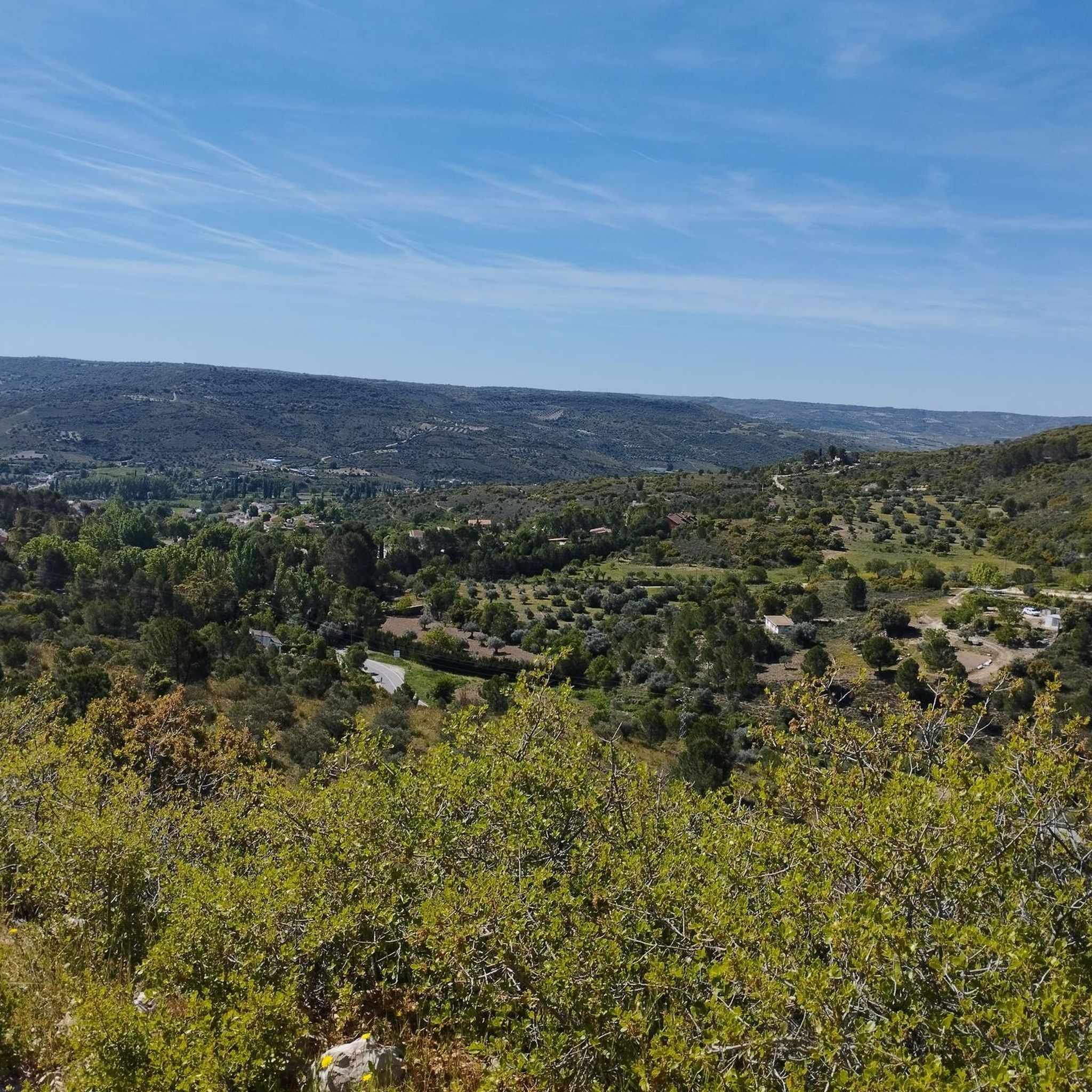
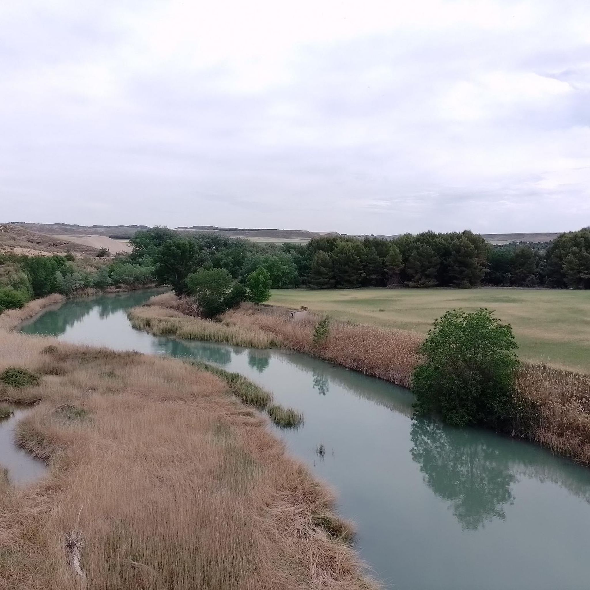
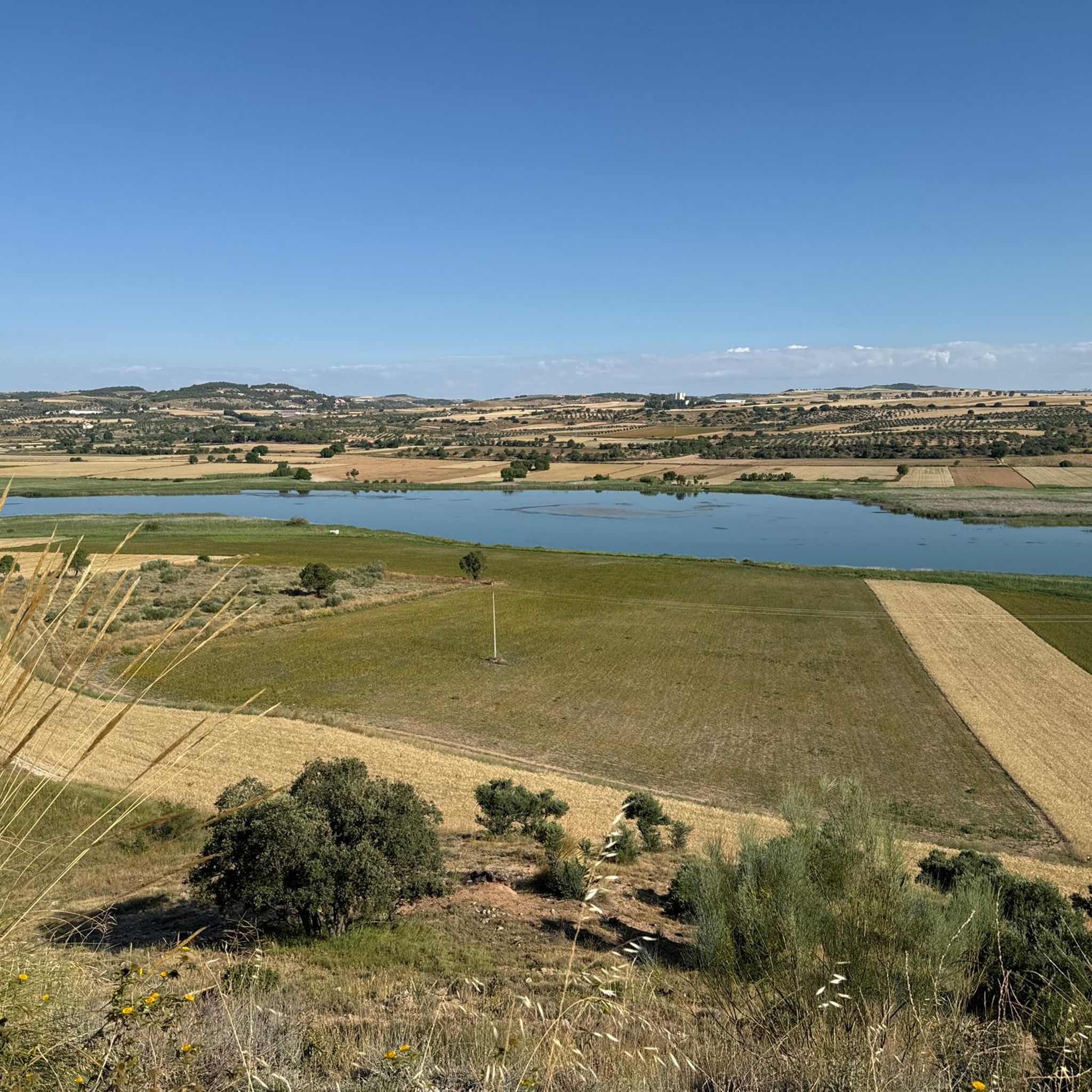
Tips from the Community

The cattle trails have been the highways of transhumance. For more than five centuries they have been social networks for the exchange of news, customs and thoughts that made livestock movements and the wool trade, with all its derivatives, a first-class economic resource. The Cañada Real Soriana Oriental is in the network of Natural Paths and is one of the nine royal cattle trails established by the Council of Mesta, the longest cattle trail in the main network, in total it exceeds 800 kilometres between the mountains of the Tierras Altas region of Soria and the city of Seville.
0
0
The white and blue signs of the Camino de Uclés are paired with the yellow arrows of the Camino de Santiago de Uclés, one of the variants of the Jacobean routes that leaves for Santiago de Compostela from the Monastery of Uclés, one of the heads (Caput Ordinis) of the Order of Santiago from the 13th century.
0
0

In the agricultural wastelands of Valdaracete, a striking journey towards the Tagus River begins through a curious landscape of clay hills and whitish marls in a desert and steppe environment, especially in the hard slides of Cerro de la Muela, a desert in Las Vegas, where the gypsum gullies that can become hell for pedaling on rainy days. The sensation of navigating a bicycle through distant and exotic latitudes ends when the road leaves the valley of the Valle stream, passes through the A-3 tunnel and ends in Fuentidueña de Tajo.
1
0

Nice path through the Sierra de Altomira, a terrain of little difficulty.
0
1
The place where the hermitage is located is the highest point of the Sierra de Altomira, which stands out over the territory. On clear days you can enjoy the exceptional views of La Alcarria, northern La Mancha and the Meseta Madrileña. Next to the hermitage is the geodesic vertex of the Altomira peak (1183 m) and, a little further north, the ruins of an old tower located in a watchtower.
1
1
The Torca del Hoyo Redondo is a depression or sudden subsidence of the land, typical of soils of calcareous origin, very common in the province of Cuenca.
1
1

Estremera is the easternmost town in the Community of Madrid, bordering Castilla-La Mancha. It has a beautiful church, as well as accommodation, restaurants and shops.
1
0
Central point of this small town that has not even 40 inhabitants. Next to the church is a drinking water fountain.
2
1
Frequently Asked Questions
What kind of terrain can I expect when hiking around Illana?
Hiking around Illana features diverse terrain, including rolling hills, expansive agricultural plains, and picturesque river valleys. You'll find a mix of open countryside and scattered woodlands, with gradients generally ranging from gentle to moderate, making it suitable for various hiking abilities.
Are there any easy hiking trails suitable for beginners or a relaxed stroll?
Yes, Illana offers several easy routes. For a pleasant and accessible walk, consider the Laguna artifical de Donace loop from Barajas de Melo, an easy 6.3 km trail that takes about 1 hour 39 minutes. Another easy option is the Almoguera Castle loop from Almoguera, a 5.1 km route with gentle elevation changes.
Can I find circular hiking routes in the Illana region?
Absolutely. Circular routes are a great way to experience the varied landscapes without retracing your steps. A popular option is the Camino de Altomira (PR-CU 40) — circular desde Saceda-Trasierra, a moderate 10.6 km path offering open views and rural scenery. The Laguna artifical de Donace loop from Barajas de Melo and the Almoguera Castle loop from Almoguera are also excellent circular choices.
What are some natural features or monuments I can discover while hiking in Illana?
The Illana area is home to interesting natural formations. You can explore highlights like the Alcarrias of the Tajo: Gypsum, Marl, and Esparto, or the unique Cueva de la Sima. The El Hoyo Redondo Sinkhole is another notable natural monument worth visiting.
Are there any historical sites or landmarks to see near the hiking trails?
Yes, the region offers several historical points of interest. Hikers can visit the Recópolis Archaeological Site, which provides a glimpse into ancient history. Another significant landmark is the Zorita de los Canes Castle, offering a historical backdrop to your outdoor adventures.
What do other hikers say about the trails in Illana?
The hiking routes in Illana are highly regarded by the komoot community, boasting an average score of 4.75 stars from over 3 reviews. Hikers often praise the varied terrain, the peaceful rural paths, and the opportunity to explore both natural landscapes and traditional Spanish villages.
Are there any longer, more challenging hikes in the Illana area?
While Illana's trails are generally moderate, offering a good workout, the longest route available is the Camino de Uclés – Estremera loop from Estremera. This moderate 13.7 km trail provides a longer excursion through the local countryside, taking approximately 3 hours 41 minutes to complete.
What is the best time of year to go hiking in Illana?
Given the region's characteristics of rolling hills and open plains, spring and autumn are generally ideal for hiking in Illana. The temperatures are milder, and the landscape offers beautiful colors. Summers can be hot, especially in open areas, while winters are typically mild but can have cooler, wetter days.
Are there any trails that pass by unique geological features?
Yes, the region is known for its distinctive geology. You can explore areas like the Alcarrias of the Tajo: Gypsum, Marl, and Esparto, which showcases unique soil compositions. The El Hoyo Redondo Sinkhole also offers an interesting geological sight.
How many hiking routes are available in the Illana region?
There are several hiking routes available around Illana, with a total of 6 distinct tours documented on komoot. These range from easy strolls to moderate excursions, ensuring options for different preferences and fitness levels.
Are there any trails that offer views of traditional Spanish villages?
Many of the trails in Illana traverse rural areas, providing views of the local topography and traditional Spanish villages. For instance, the Camino de Altomira (PR-CU 40) — circular desde Saceda-Trasierra explores the area around Saceda-Trasierra, offering glimpses into the local rural life and architecture.
Most popular routes around Illana
Most popular attractions around Illana

Get inspired with the komoot mobile app


Explore more
Browse the best Hikes in other regions.
