The best walks and hikes around Parco regionale Vena del Gesso Romagnola
4.5
(2287)
9,208
hikers
72
hikes
Hiking around Parco regionale Vena del Gesso Romagnola offers exploration of a unique geological landscape. The park is defined by the prominent Vena del Gesso Romagnola, a gypsum ridge stretching for about 20 kilometers, creating a distinctive environment. Karstic phenomena, including sinkholes and caves, are prevalent, alongside 'calanchi' (badlands) formed by water erosion. Diverse microclimates support varied ecosystems, from Mediterranean scrub on sun-exposed slopes to extensive woodlands in shadier areas.
Best hiking trails around Parco regionale Vena del Gesso Romagnola
…Last updated: October 24, 2026
4.7
(103)
380
hikers
6.76km
02:06
230m
230m
This moderate 4.2-mile (6.8 km) loop tour, taking about 2 hours and 6 minutes, offers 761 feet (232 metres) of elevation gain as you explore the Vena del Gesso Romagnola…
4.7
(91)
338
hikers
6.02km
01:54
210m
210m
Embark on the Carnè Loop Trail, a moderate hike that takes you through varied terrain within the Parco Regionale della Vena del Gesso Romagnola. You will cover 3.7 miles (6.0…

4.7
(55)
170
hikers
11.0km
04:10
580m
580m
Embark on the Ring of Brooms Trail, a difficult hiking route that takes you through a unique karstic landscape. This challenging 6.8-mile (11.0 km) journey involves a significant elevation gain…
4.7
(42)
142
hikers
10.9km
04:00
560m
560m
Embark on the Corolla delle Ginestre Trail, a moderate hike spanning 6.8 miles (10.9 km) with an elevation gain of 1840 feet (561 metres). You can expect to complete this…
4.6
(49)
170
hikers
17.4km
06:30
780m
780m
Gypsum cliffs trail through ancient caves and Roman ruins with sparkling crystalline paths.
Get access to more routes and recommendations from other explorers.
Already have an account?
Our route recommendations are based on thousands of hikes, rides, and runs completed by other people on komoot.
Start today with a free account
Your next adventure awaits.
Popular around Parco regionale Vena del Gesso Romagnola
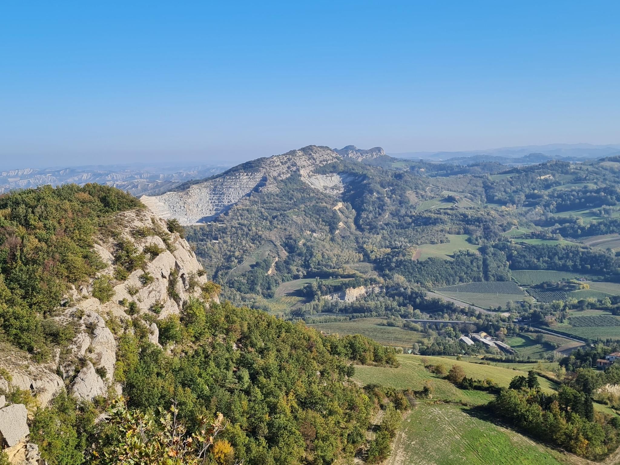
Lake Brasimone to Marradi – Alta Via dei Parchi (part 3)
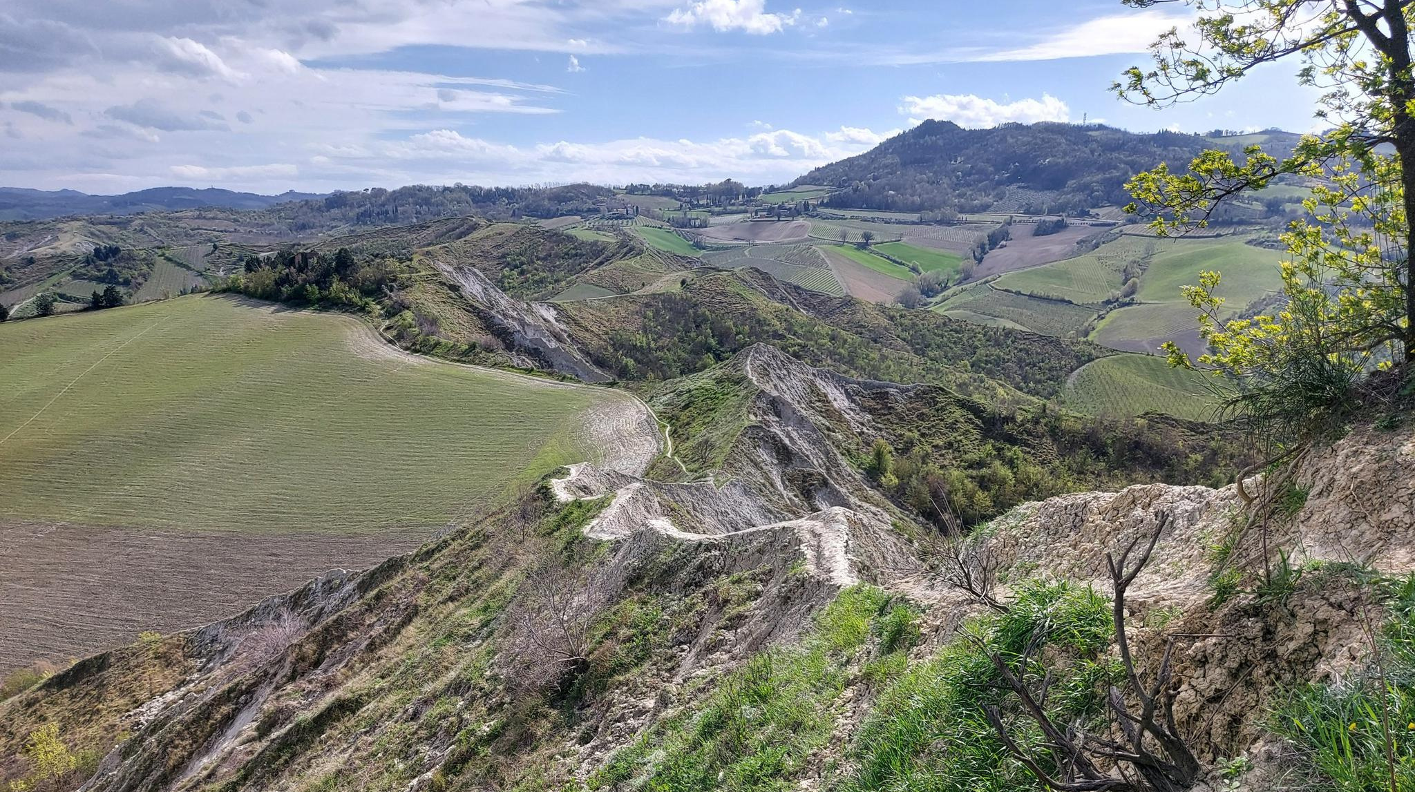
Walk from Bologna to Faenza – Via dei Gessi e dei Calanchi
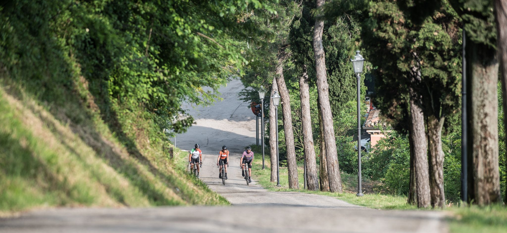
Enjoyment, culture and nature – cycling Tours in Italy’s Emilia Romagna region
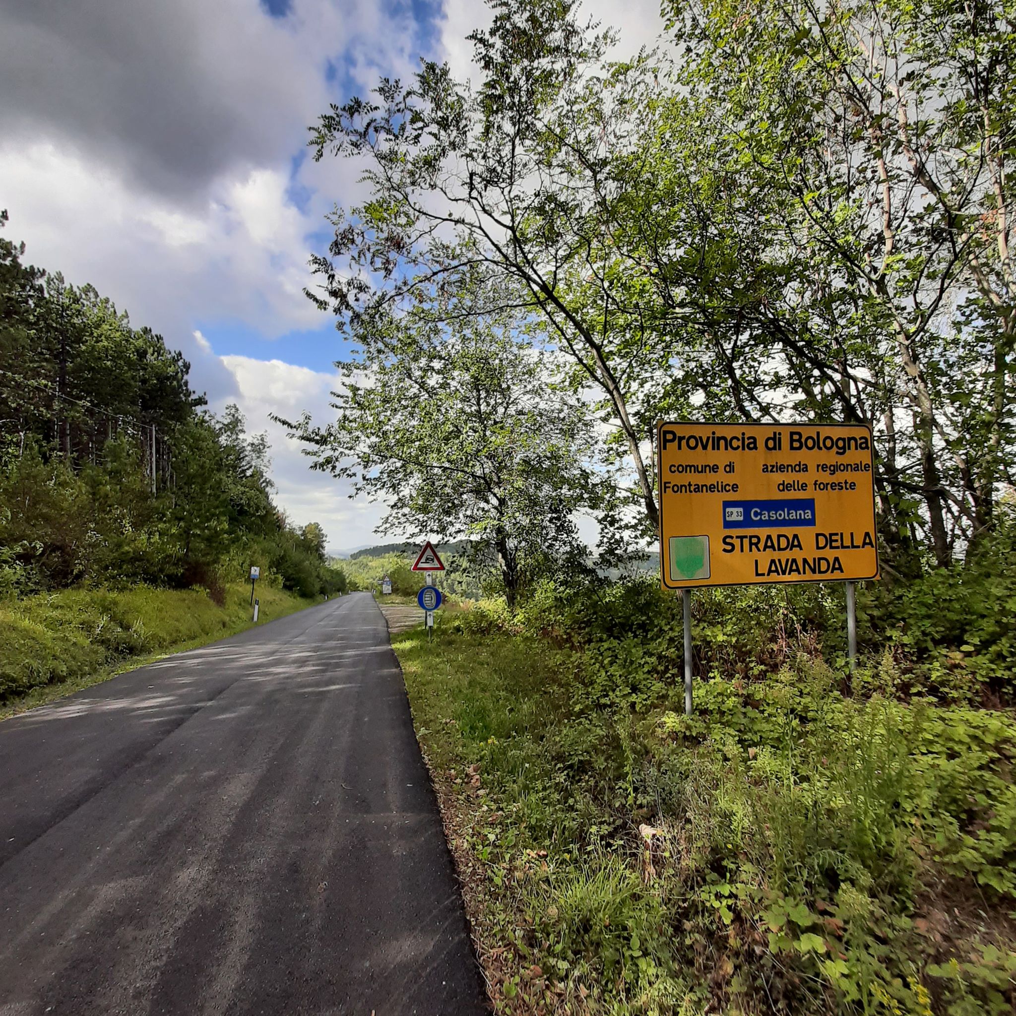
Road Cycling Routes around Parco regionale Vena del Gesso Romagnola
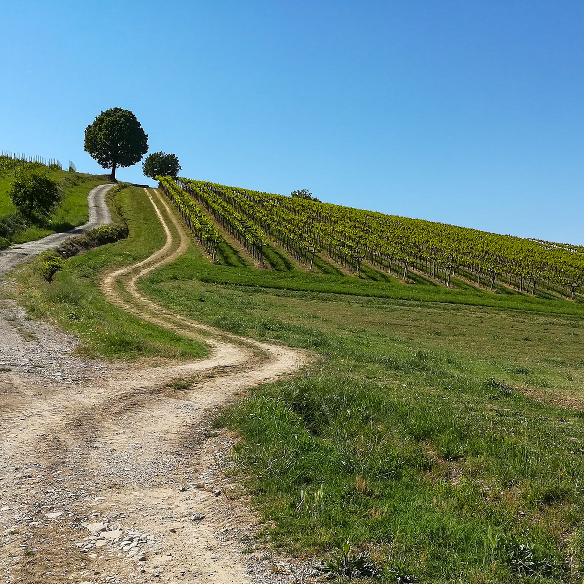
Cycling around Parco regionale Vena del Gesso Romagnola
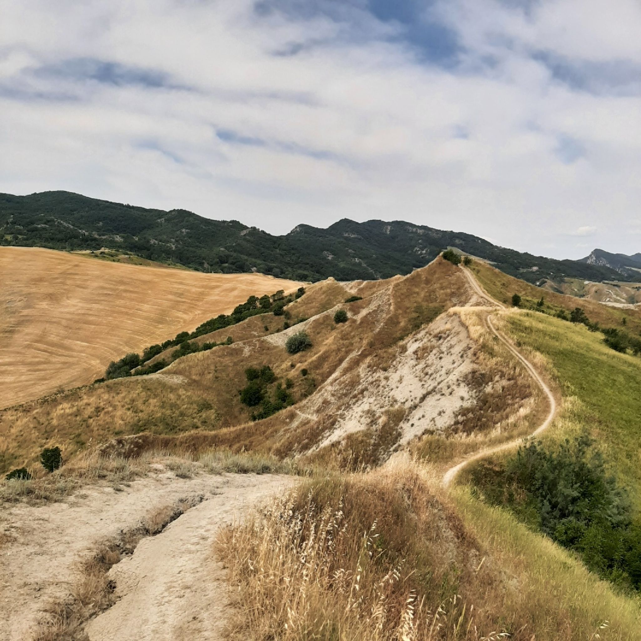
MTB Trails around Parco regionale Vena del Gesso Romagnola
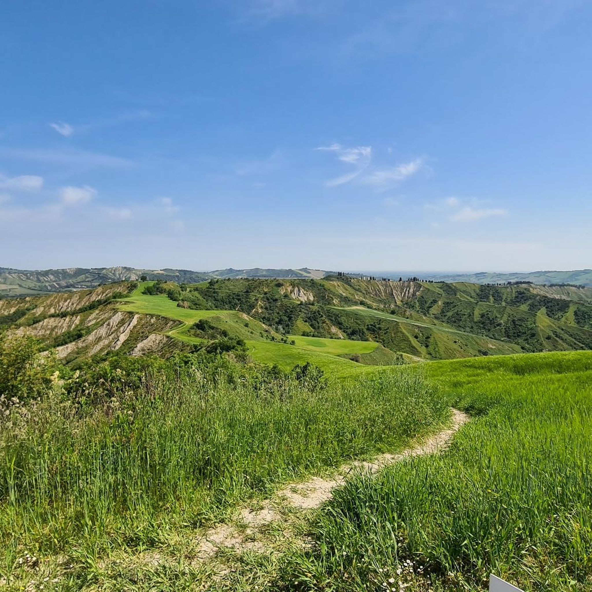
Running Trails around Parco regionale Vena del Gesso Romagnola
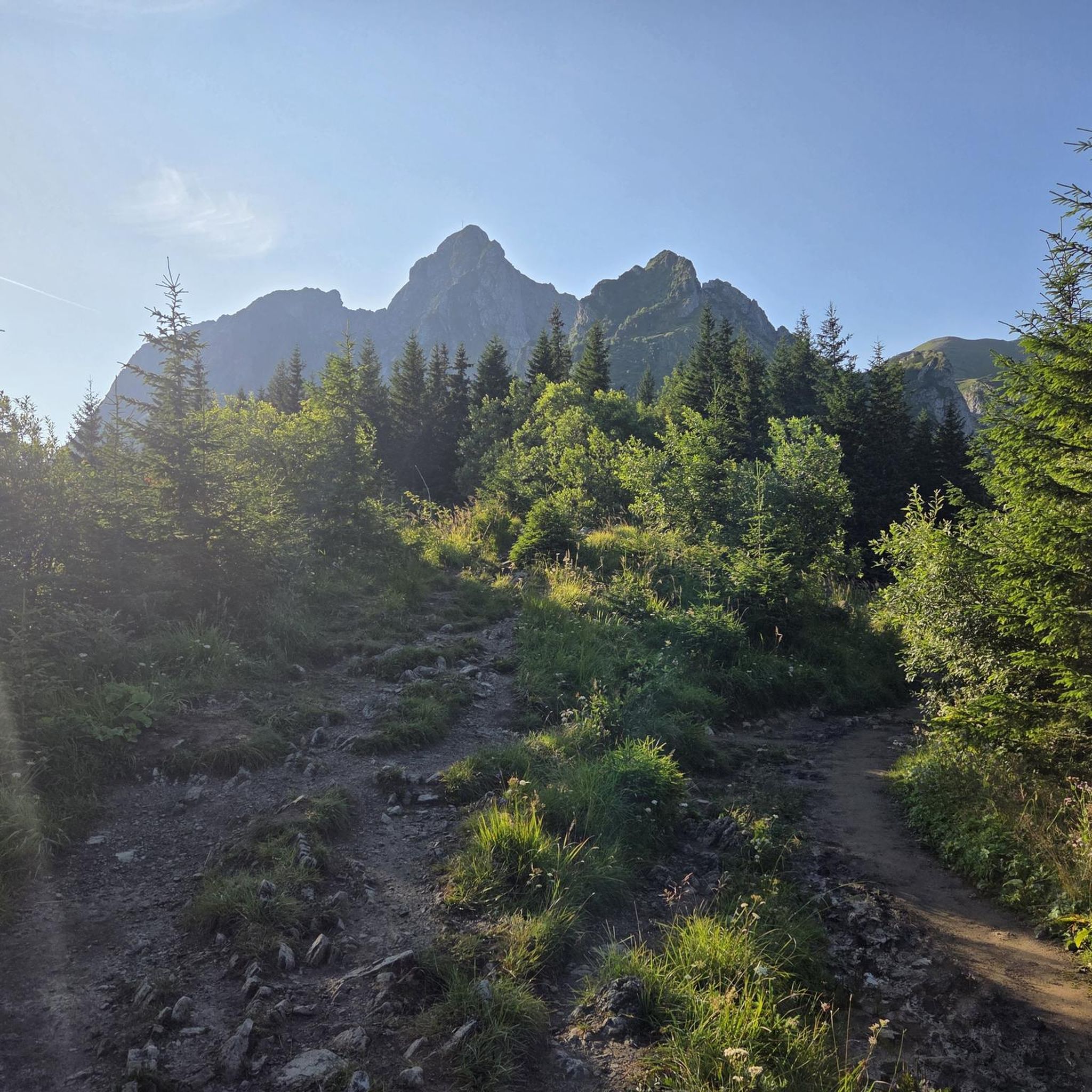
Gravel biking around Parco regionale Vena del Gesso Romagnola
Other adventures around Parco regionale Vena del Gesso Romagnola


Tips from the Community

The summit of Monte Mauro offers a 360-degree view and spectacular panoramas in good weather. At 515m above sea level, it is the highest peak in the Romagna Gesso valley and offers views towards both the Tuscan-Romagnan Apennines and the Ravenna plain (if you're lucky and there's little haze in good weather, you can even glimpse the sea). This summit can be reached in several ways: via the 511 trail, leaving the car after the first hairpin bends of the asphalt road that starts from the Zattaglia valley; this is certainly the most scenic route, involving the ascent of Monte Incisa through the woods and then staying at altitude on the south face of Monte Mauro, walking on sections of pure gypsum and in a rather exposed manner. Alternatively, take the "via Rio ferrato" road on the left just past Riolo Terme and shortly before Isola, driving to the end of the asphalted section (there is a car park), then ascend the north slope on a wide dirt road with gypsum present, until you reach the Eremo di Monte Mauro, a church about fifty meters below the summit; from there, the very last stretch is shared with the 511. It could also be reached from the northwest via the narrow "via Lame" road, which you take before Casola Valsenio, but the condition of the road itself makes this alternative less common.
0
0

Fantastic landscape where the hills are furrowed by the spectacular silvery grey ridge that abruptly interrupts the gentle Romagna hilly profiles, a true geological monument of at least 6 million years.
0
0

...it dominates the entire Senio valley.....
0
0
....medium-difficulty trek. Don't miss a visit to the Balzole ruins and the Campiuno church, whose first historical references date back to well before the year 1000.
1
0

the cute cat EremoMonte Mauro
1
0

Eyes that here film you when you do it!
0
0

Area with numerous singletracks and well-rideable trails
1
0
Frequently Asked Questions
What makes the landscape of Parco regionale Vena del Gesso Romagnola unique for hiking?
The park is defined by the 'Vena del Gesso Romagnola,' a prominent gypsum ridge that stretches for about 20 kilometers, creating a striking, almost 'moonstone' appearance. This unique geology has led to extensive karstic phenomena, including numerous sinkholes and deep caves. You'll also encounter 'calanchi' (badlands), dramatic gullies carved by erosion, and diverse microclimates supporting varied flora and fauna.
How many hiking trails are available in Parco regionale Vena del Gesso Romagnola?
There are over 60 hiking trails available in Parco regionale Vena del Gesso Romagnola. These routes cater to various skill levels, with options ranging from easy walks to more challenging treks through the unique gypsum landscape.
Are there easy or family-friendly hiking options in the park?
Yes, the park offers several easy routes suitable for families or those seeking a gentler walk. For instance, the area around the Cà Carnè Refuge is known for accessible trails. You can explore routes like the The Alta Via dei Parchi and the Rifugio Ca’ Carnè – loop tour, which is a moderate 6.8 km trail, or the Carnè Loop Trail, a 6.0 km moderate path, both offering a good introduction to the park's features.
What kind of natural landmarks or viewpoints can I find along the trails?
The park is rich in geological and natural landmarks. You can discover the impressive Crest of the Vena del Gesso Romagnola, offering panoramic views. Other notable features include the dramatic 'calanchi' formations and various sinkholes. For specific viewpoints, consider visiting the Widows path ash tree.
Are there any longer or more challenging routes for experienced hikers?
Absolutely. For those seeking a more demanding experience, routes like the Gypsum Cliffs Trail from Tossignano (L'Anello della Riva di San Biagio) offer a significant challenge, covering over 17 km with substantial elevation changes. The Ring of Brooms Trail is another challenging option at 11 km, leading through diverse woodlands and open areas.
What is the best time of year to hike in Parco regionale Vena del Gesso Romagnola?
The park offers enjoyable hiking experiences throughout much of the year. Spring is particularly beautiful when broom flowers bloom, turning the 'calanchi' a vibrant yellow, and various orchids are in season. Autumn provides pleasant temperatures and colorful foliage. Summer can be warm, so early morning or late afternoon hikes are recommended. Winter hiking is possible, but some trails might be slippery or require appropriate gear.
Can I bring my dog on the hiking trails in the park?
Generally, dogs are permitted on trails in Italian regional parks, but they should be kept on a leash to protect wildlife and ensure the safety of other hikers. Always check specific signage at trailheads or the park's official website for any particular restrictions or protected areas where dogs might not be allowed.
Are there circular hiking routes available?
Yes, many of the trails in Parco regionale Vena del Gesso Romagnola are designed as circular routes, allowing you to start and end at the same point. Examples include the The Alta Via dei Parchi and the Rifugio Ca’ Carnè – loop tour and the Carnè Loop Trail, both starting from the Cà Carnè Refuge.
Where can I find parking or access trails by public transport?
Visitor centers like the Cà Carnè Refuge in Brisighella and 'Casa del Fiume' in Borgo Tossignano serve as excellent starting points for exploring the park and typically offer parking facilities. For public transport, access points vary, so it's advisable to check local bus schedules to towns like Brisighella or Borgo Tossignano, which are gateways to the park.
Are there places to eat or stay near the hiking trails?
Yes, the park and its surrounding towns offer options for refreshments and accommodation. The Cà Carnè Refuge is a popular visitor center that often includes dining facilities. You can also find restaurants like The House on the River, and various accommodations in nearby villages such as Brisighella and Borgo Tossignano.
What do other hikers enjoy most about hiking in Parco regionale Vena del Gesso Romagnola?
The area is highly rated by the komoot community, with an average score of 4.6 stars from over 800 reviews. Hikers often praise the unique geological formations, the striking contrast of the gypsum ridge against the Romagna hills, and the diverse landscapes that include both Mediterranean scrub and extensive woodlands. The well-marked trails and the sense of exploring a truly distinctive natural environment are frequently highlighted.
Are there any specific regulations or permits required for hiking in the park?
As a Regional Park and UNESCO World Heritage site, there are regulations in place to protect its unique environment. While specific hiking permits are generally not required for standard trails, it's crucial to stay on marked paths, respect wildlife, and refrain from disturbing geological formations or flora. Always check the official park website for the most current regulations, especially regarding access to sensitive areas or caves.
Most popular routes around Parco regionale Vena del Gesso Romagnola
Most popular attractions around Parco regionale Vena del Gesso Romagnola

Get inspired with the komoot mobile app


Explore more
Browse the best Hikes in other regions.
