The best walks and hikes around Yernes Y Tameza
4.6
(246)
1,973
hikers
48
hikes
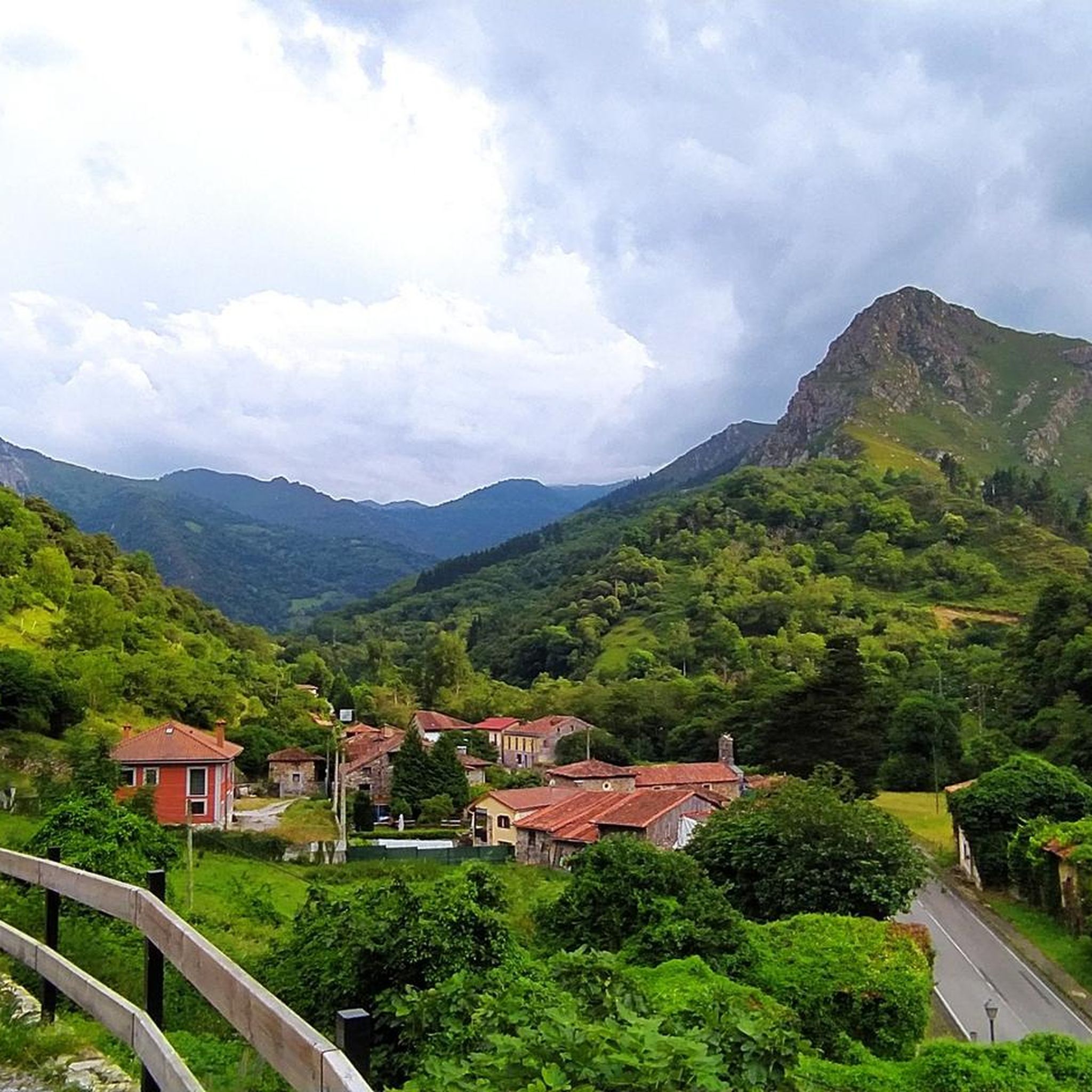
Hiking around Yernes Y Tameza offers diverse experiences across a rugged landscape in Asturias. The region is characterized by significant altitude variations, ranging from 200 to 1,300 meters above sea level, and features deep river basins, towering mountains, and extensive karstic systems. Dense forests of beech, oak, and chestnut trees cover much of the mountainous terrain, providing varied environments for exploration.
Best hiking trails around Yernes Y Tameza
- The most popular hiking route is Circular to the mountain of La Forcá — circular through the Desfiladero de Peñas Juntas, a 10.4 miles (16.8 km) trail that takes 5 hours 26 minutes to complete. This challenging route navigates through the Desfiladero de Peñas Juntas gorge.
- Another top favourite among local hikers is From Río Trubia to Bandujo — circular from Proaza, a difficult 15.8 miles (25.4 km) path. This long-distance route connects river valleys and traditional villages.
- Local hikers also love the Foz de los Pícaros – Bear Trail, Santo Adriano loop from Proaza, a 8.9 miles (14.3 km) trail leading through river valleys and along the Bear Trail, often completed in about 3 hours 50 minutes.
- Hiking around Yernes Y Tameza is defined by mountainous terrain, deep river valleys, and dense forests. The network offers options for different ability levels, from moderate paths to more challenging ascents.
- The routes in Yernes Y Tameza are highly rated by the komoot community with an average score of 4.6 stars from over 200 reviews. More than 1,600 hikers have used komoot to explore Yernes Y Tameza's varied terrain.
Last updated: July 1, 2026
4.0
(1)
9
hikers
Hard hike. Very good fitness required. Mostly accessible paths. Sure-footedness required.
5.0
(1)
2
hikers
25.4km
08:32
1,090m
1,100m
Hard hike. Very good fitness required. Mostly accessible paths. Sure-footedness required.

Sign up for free
4.3
(8)
66
hikers
14.3km
03:52
180m
180m
Moderate hike. Good fitness required. Mostly accessible paths. Sure-footedness required.
4.8
(5)
37
hikers
5.31km
01:54
320m
320m
Moderate hike. Good fitness required. Easily-accessible paths. Suitable for all skill levels.
4.3
(4)
19
hikers
8.44km
02:23
180m
190m
Moderate hike. Good fitness required. Easily-accessible paths. Suitable for all skill levels.
Get access to more routes and recommendations from other explorers.
Sign up for free
Already have an account?
Our route recommendations are based on thousands of hikes, rides, and runs completed by other people on komoot.
Start today with a free account
Your next adventure awaits.
Login or Signup
Tips from the Community

It's very interesting to take a look at
0
0
Very interesting to visit
0
0


Do not lean on the railing; someone has already fallen and died because there are sections of rotten wood.
0
0

high mountain boots and long pants
0
0

It's an ideal starting point for tours in the region. Hotels and restaurants are available. However, the bears have retreated.
2
0
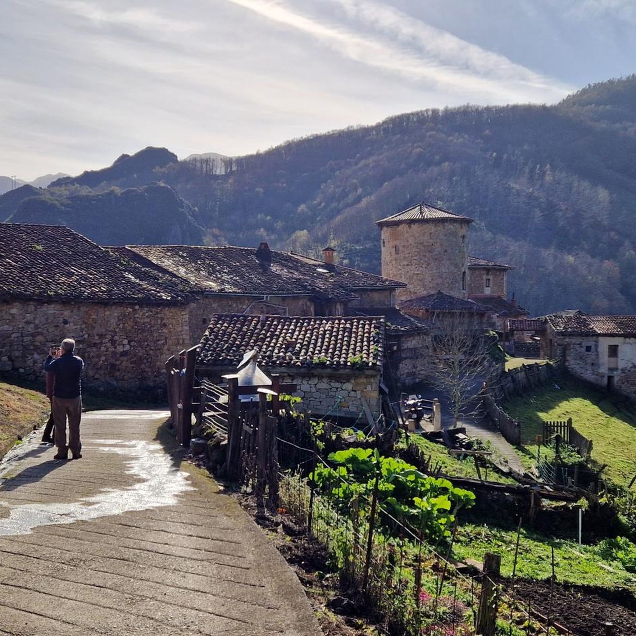
Banduxu is certainly one of the most quaint and typical villages in Asturias. The old path leading from the present-day "Senda del Oso" (Osso Trail) into the village alone would be worth a visit. On weekends, a pub operates in the old school.
0
0

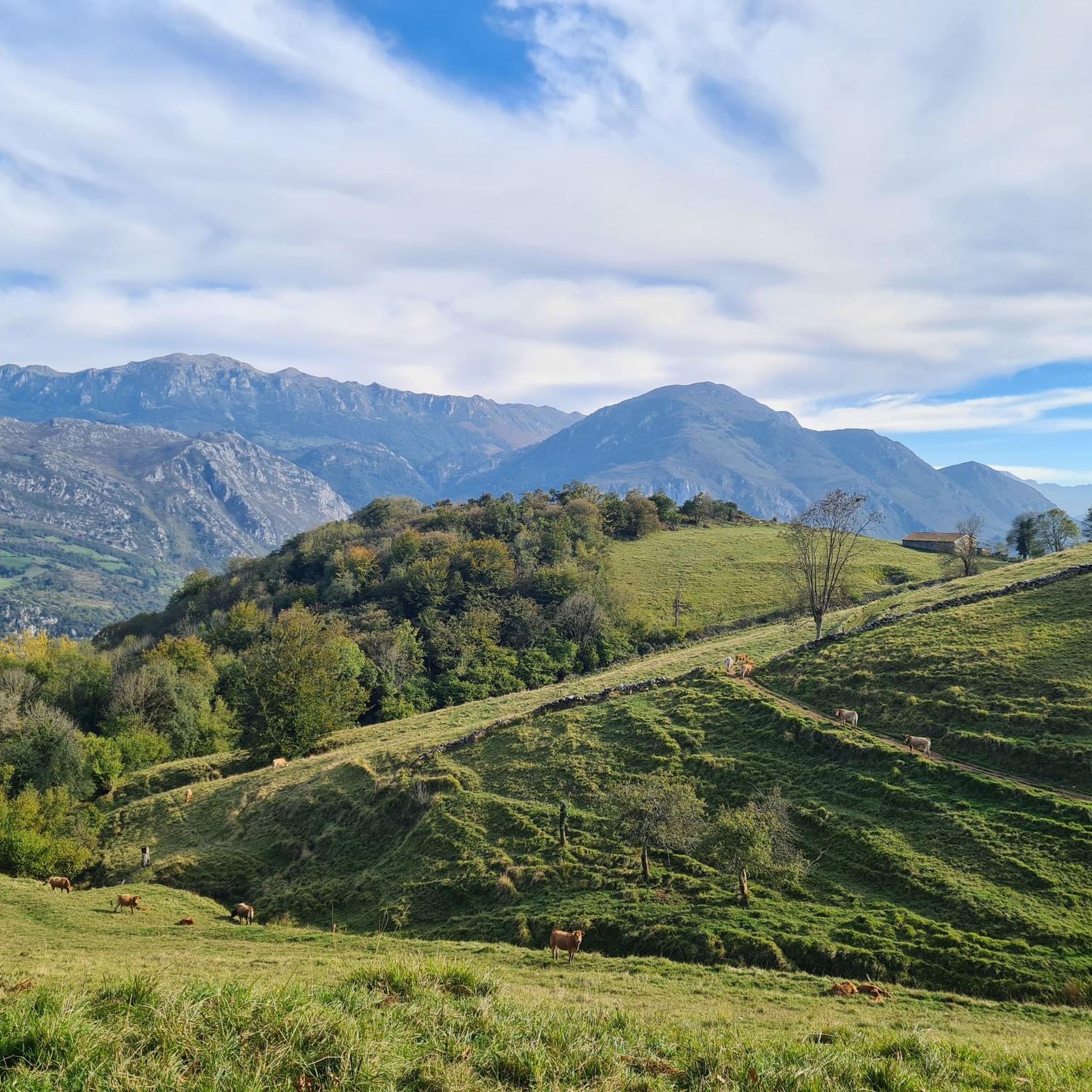
Go quietly, and the animals will approach you.
1
0
Frequently Asked Questions
What types of hiking trails can I find in Yernes y Tameza?
Yernes y Tameza offers a diverse range of hiking trails, from moderate paths to challenging ascents. The region's rugged topography, with elevations ranging from 200 to 1,300 meters, features deep river basins, towering mountains, and extensive karstic systems. You'll find routes through dense forests of beech, oak, and chestnut, as well as expansive meadows and ancient historical paths.
Are there any easy or moderate hiking options in Yernes y Tameza?
Yes, while the region is known for its challenging terrain, there are options for moderate hikers. For example, the Foz de los Pícaros – Bear Trail, Santo Adriano loop from Proaza is a moderate 8.9-mile (14.3 km) trail that takes you through river valleys and along the famous Bear Trail. Another moderate option is the Puertos de Marabio – Puertos de Marabio loop from Palmeán, covering 5.2 miles (8.4 km) through scenic pastures.
What are some challenging long-distance hikes in the area?
For experienced hikers seeking a challenge, Yernes y Tameza offers several demanding routes. The From Río Trubia to Bandujo — circular from Proaza is a difficult 15.8-mile (25.4 km) path connecting river valleys and traditional villages. Another challenging option is the Circular to the mountain of La Forcá — circular through the Desfiladero de Peñas Juntas, a 10.4-mile (16.8 km) route navigating a dramatic gorge.
Are there any circular hiking routes in Yernes y Tameza?
Yes, many routes in Yernes y Tameza are circular, allowing you to start and end in the same location. Examples include the challenging Circular to the mountain of La Forcá and the moderate Puertos de Marabio loop from Palmeán. These loops offer varied scenery without the need for a return trip arrangement.
What interesting natural features or landmarks can I see while hiking?
The region is rich in natural beauty and historical sites. You can explore the dramatic Desfiladero de Peñas Juntas gorge, or hike along the ancient Senda del Oso (Bear Trail). The Puertos de Marabio Natural Monument offers vast expanses of hills and valleys. You might also encounter traditional Asturian architecture, including hórreos and stone mountain cabins in picturesque 'brañas asturianas'.
What is the best time of year to go hiking in Yernes y Tameza?
The best time to hike in Yernes y Tameza is generally during spring, summer, and early autumn when the weather is milder and trails are most accessible. Spring brings lush greenery and blooming flora, while autumn offers vibrant fall colors. Winters can be cold with snow at higher elevations, making some routes more challenging or inaccessible, though snowshoeing is an option in certain areas.
Is Yernes y Tameza suitable for family-friendly hikes?
While many trails feature significant elevation changes, some shorter, moderate routes might be suitable for families with older children who are accustomed to hiking. For example, the Banduxu Village loop from Rio Teverga is a 3.2-mile (5.2 km) moderate trail that could be a good option for a family outing, offering a glimpse into traditional villages.
What kind of wildlife might I encounter on the trails?
Yernes y Tameza's diverse forests and mountainous terrain support a rich variety of wildlife. Hikers might spot wolves, wild boars, wildcats, and even brown bears. The area is also home to various bird species like eagles and owls, as well as a wide array of butterflies and newts, especially near water sources.
Are there historical routes or ancient sites to explore?
Absolutely. Yernes y Tameza is an integral part of the Camín Real de la Mesa, an ancient pre-Roman and Roman route that was a vital communication artery. You can still find traces of these old Roman roads. The region also features ancient Roman mining sites, such as the Cadén mine (also known as "La Caven"), adding a historical dimension to your hike.
What do other hikers say about the trails in Yernes y Tameza?
The trails in Yernes y Tameza are highly regarded by the komoot community, with an average score of 4.6 stars from over 200 reviews. Hikers often praise the stunning natural landscapes, the variety of terrain, and the sense of immersion in nature. Many appreciate the well-maintained paths and the opportunity to explore both challenging mountain ascents and serene forest walks.
How accessible are the trails for people with limited mobility?
Due to the region's rugged topography, characterized by significant altitude variations and steep slopes, most hiking trails in Yernes y Tameza are not easily accessible for individuals with limited mobility or those using wheelchairs. The terrain often involves uneven paths, rocky sections, and considerable ascents and descents.
Most popular attractions around Yernes Y Tameza

Get inspired with the komoot mobile app


Explore more
Browse the best Hikes in other regions.
