The best running trails around Espinosa Del Camino
5.0
(1)
150
runners
11
runs
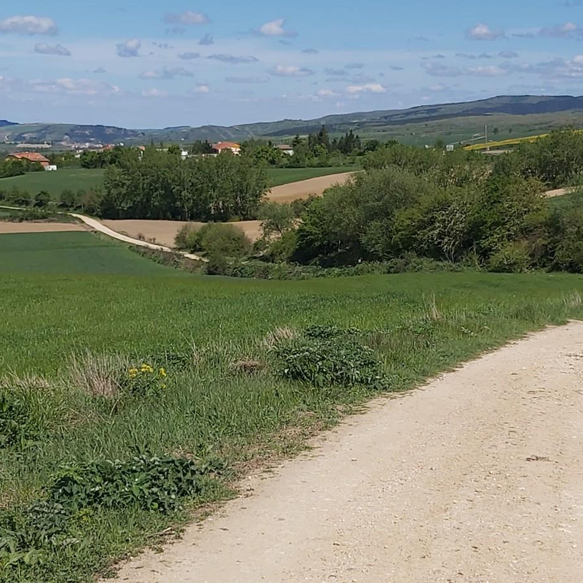
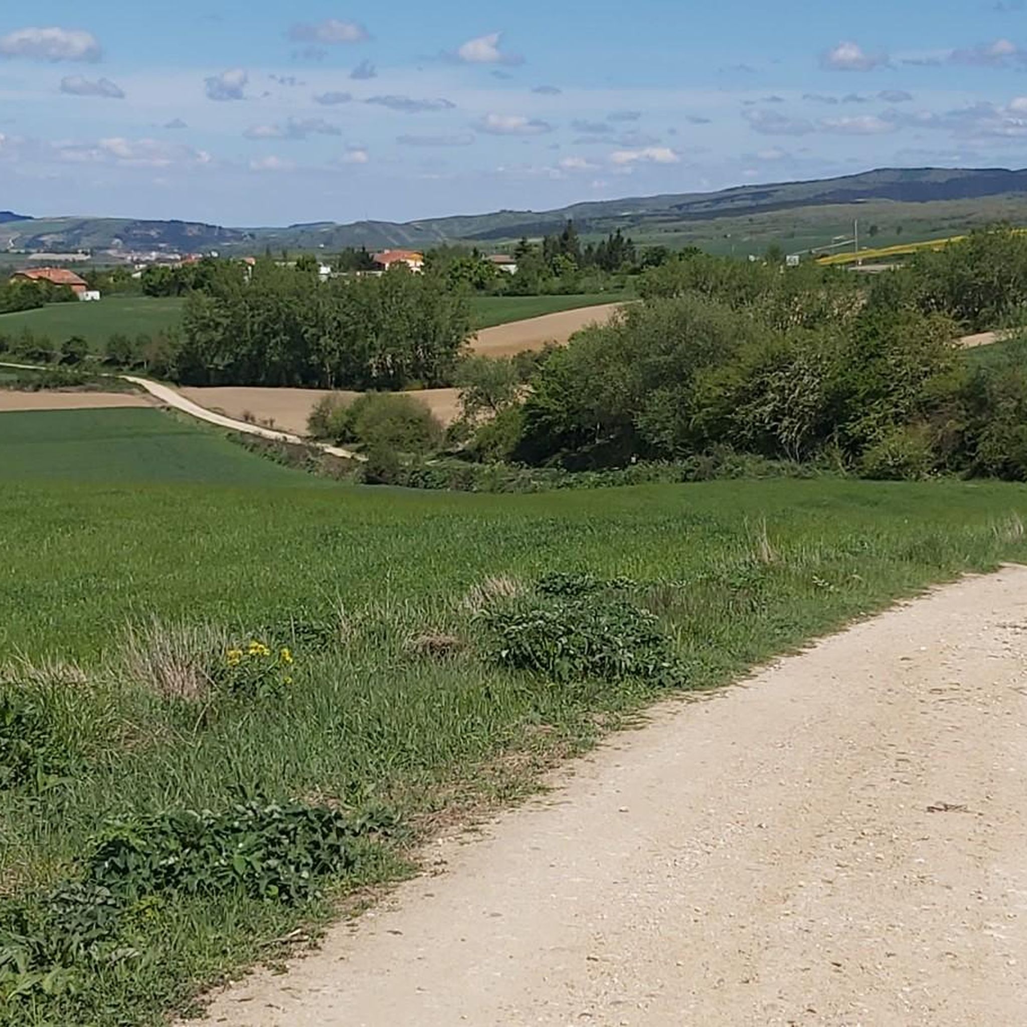
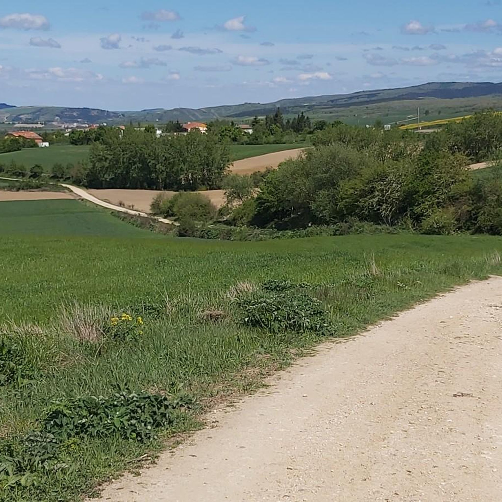
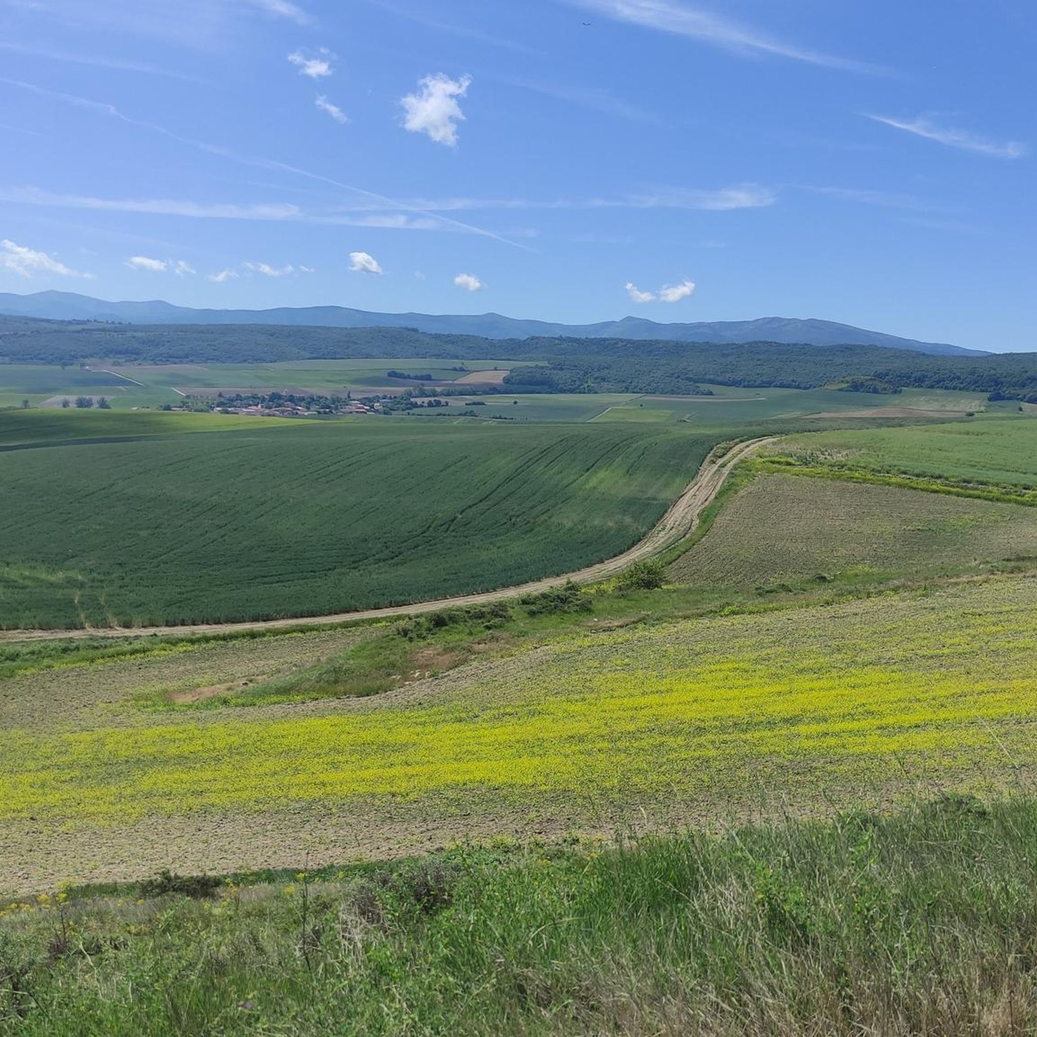
Jogging routes around Espinosa Del Camino are primarily shaped by its location along the historic Camino Francés, offering a blend of established paths and natural landscapes. The region features varied terrain, including dirt paths and gravel roads, as the French Way begins its ascent into the Montes de Oca. Joggers can experience elevation changes and picturesque riverine environments along the Retorto and Oca Rivers. Extensive indigenous forests also provide shaded routes and natural running surfaces.
Best jogging routes around Espinosa…
Last updated: July 12, 2026
5.0
(1)
24
runners
31.8km
05:13
1,780m
1,780m
Hard run. Very good fitness required. Sure-footedness, sturdy shoes and alpine experience required.
24
runners
24.6km
03:24
960m
960m
Hard run. Very good fitness required. Mostly paved surfaces. Suitable for all skill levels.

Sign up for free
21
runners
20.5km
02:31
870m
870m
Hard run. Very good fitness required. Sure-footedness, sturdy shoes and alpine experience required.
16
runners
36.2km
05:32
1,740m
1,740m
Hard run. Very good fitness required. Sure-footedness, sturdy shoes and alpine experience required.
9
runners
21.2km
03:07
1,060m
1,060m
Hard run. Very good fitness required. Sure-footedness, sturdy shoes and alpine experience required.
Get access to more routes and recommendations from other explorers.
Sign up for free
Already have an account?
Our route recommendations are based on thousands of hikes, rides, and runs completed by other people on komoot.
Start today with a free account
Your next adventure awaits.
Login or Signup
Tips from the Community

a highly recommended area for hiking.
0
0
a highly recommended area for hiking.
0
0
a highly recommended area for hiking.
0
1
Nice area for hiking and mountain biking trails in La Demanda
0
0
Nice area for hiking and mountain biking trails
0
0

The Alto de la Garrula is a halfway point from where the Sendero de las Cascadas leaves and where you can take the direction towards the highest mountains of the Sierra de la Demanda, as is the case with Pico Millán.
0
0
It is one of the waterfalls that are found in this valley and that are part of the Arroyo del Allúzarra, in the upper part of it. The waters come from the high mountains that are flanking the mountains above.
0
0
This is geographically the highest mountain in the province of Burgos and which also represents one of the roofs of the Sierra de la Demanda. At 2130 meters high, it offers impressive panoramic views of the surrounding valleys.
1
0
Frequently Asked Questions
What kind of terrain can I expect on the running routes around Espinosa Del Camino?
The running routes in this area, particularly along the historic Camino Francés, feature varied terrain. You'll encounter a mix of dirt paths, gravel roads, and some asphalt or cobblestone sections, especially when passing through villages. As the French Way ascends into the Montes de Oca, expect elevation changes, providing a more challenging and rewarding experience.
Are there any easy running routes suitable for beginners in Espinosa Del Camino?
While many routes around Espinosa Del Camino present a significant challenge, the region offers a variety of paths. Currently, the komoot guide lists 7 routes, with 6 rated as moderate and 1 as difficult. There are no routes specifically categorized as easy, suggesting that most trails require a reasonable level of fitness.
What natural features can I discover while jogging in the Espinosa Del Camino area?
Jogging here allows you to experience diverse natural beauty. You can find picturesque riverine environments along the Retorto and Oca Rivers, which carve a more than 5 km long gorge. The area also boasts extensive indigenous forests, offering shaded routes and natural running surfaces, especially as the Camino Francés begins its ascent into the Montes de Oca.
Are there any circular running routes available near Espinosa Del Camino?
Yes, there are several circular running routes. For example, the Pradoluengo Village – La Pasada Shelter loop from Pradoluengo is a challenging 19.75-mile (31.79 km) loop. Another option is the Pradoluengo Village – Cruz De Guirnaldo loop from Pradoluengo, a 15.28-mile (24.59 km) path. There's also the Alarcia – Trigaza Peak loop from Alarcia, covering 12.75 miles (20.51 km) through mountainous terrain.
What do other runners say about the jogging trails in Espinosa Del Camino?
The running routes in Espinosa Del Camino are highly regarded by the komoot community, with an average rating of 5.0 stars from over 1 review. More than 137 runners have used komoot to explore the varied terrain, often appreciating the blend of established paths along the Camino Francés and the natural landscapes of the Montes de Oca.
Are there any notable landmarks or attractions near the running paths?
Yes, the region offers several points of interest. You might encounter the historic Plaza Mayor de Belorado or the town of Belorado itself. Other significant sites include the Monte de la Pedraja Memorial and the unique Artistic Oasis of the Camino de Santiago. These can add a cultural dimension to your run.
What is the longest running route available in the area?
The longest running route listed in the guide is the San Millán loop from Pradoluengo. This challenging trail covers approximately 36.13 km (22.45 miles) and involves significant elevation changes, making it suitable for experienced runners looking for a long-distance challenge.
Is Espinosa Del Camino suitable for long-distance running?
Absolutely. Espinosa Del Camino's location along the Camino Francés makes it ideal for long-distance running. The established pilgrimage route provides a continuous path, and many of the listed routes, such as the Pradoluengo Village – La Pasada Shelter loop (31.79 km) and the San Millán loop (36.13 km), offer substantial distances and elevation for endurance training.
Are there any running routes that offer views of the Montes de Oca?
Yes, as Espinosa Del Camino is where the French Way begins its ascent into the Montes de Oca, many routes will offer views of these mountains. Trails like the Alarcia – Trigaza Peak loop from Alarcia lead through mountainous terrain towards Trigaza Peak, providing scenic vistas of the surrounding landscape.
What is the best time of year to go running in Espinosa Del Camino?
The region's climate, typical of the Camino de Santiago, generally allows for running throughout much of the year. Spring and autumn often offer pleasant temperatures and beautiful scenery. Summer can be warm, especially at midday, while winter might bring cooler temperatures and potentially some snow in higher elevations of the Montes de Oca, requiring appropriate gear.
Are there any routes that pass through forests for shaded running?
Yes, the area around Espinosa Del Camino features extensive indigenous forests. These wooded sections provide shaded routes, which can be particularly refreshing during warmer months, and offer a more natural running surface away from open paths.
How many running routes are featured in the komoot guide for Espinosa Del Camino?
The komoot guide for Espinosa Del Camino currently features 7 distinct running routes. These routes vary in length and difficulty, offering options for different fitness levels, though most are categorized as moderate to difficult.
Most popular attractions around Espinosa Del Camino

Get inspired with the komoot mobile app


Explore more
Browse the best Running Trails & Routes in other regions.
