Riserva Naturale Regionale Oasi WWF Guardiaregia - Campochiaro
Riserva Naturale Regionale Oasi WWF Guardiaregia - Campochiaro
The best road cycling routes around Riserva Naturale Regionale Oasi WWF Guardiaregia - Campochiaro
4.1
(46)
606
riders
60
rides
Road cycling around Riserva Naturale Regionale Oasi WWF Guardiaregia - Campochiaro offers diverse terrain across 3,135 hectares, characterized by deep gorges, dense beech forests, and mountainous landscapes. The region features the Quirino Stream Gorges and the San Nicola waterfall, providing varied scenery for cyclists. Elevations range from modest climbs to significant ascents, particularly around Monte Mutria, which reaches 1,823 meters. This topography supports a range of road cycling routes, from those with well-paved surfaces to more challenging climbs with considerable…
Last updated: August 14, 2026
9
riders
38.8km
02:19
1,010m
1,010m
Hard road ride. Very good fitness required. Mostly well-paved surfaces and easy to ride.
8
riders
111km
05:31
1,630m
1,630m
Hard road ride. Very good fitness required. Mostly well-paved surfaces and easy to ride.

Sign up for free
4.0
(1)
28
riders
58.6km
03:24
1,370m
1,370m
Hard road ride. Very good fitness required. Mostly well-paved surfaces and easy to ride.
1.0
(1)
21
riders
60.5km
02:52
780m
780m
Moderate road ride. Good fitness required. Mostly well-paved surfaces and easy to ride.
22
riders
41.7km
02:25
980m
980m
Hard road ride. Very good fitness required. Mostly well-paved surfaces and easy to ride.
Get access to more routes and recommendations from other explorers.
Sign up for free
Already have an account?
Our route recommendations are based on thousands of hikes, rides, and runs completed by other people on komoot.
Start today with a free account
Your next adventure awaits.
Login or Signup
Popular around Riserva Naturale Regionale Oasi WWF Guardiaregia - Campochiaro
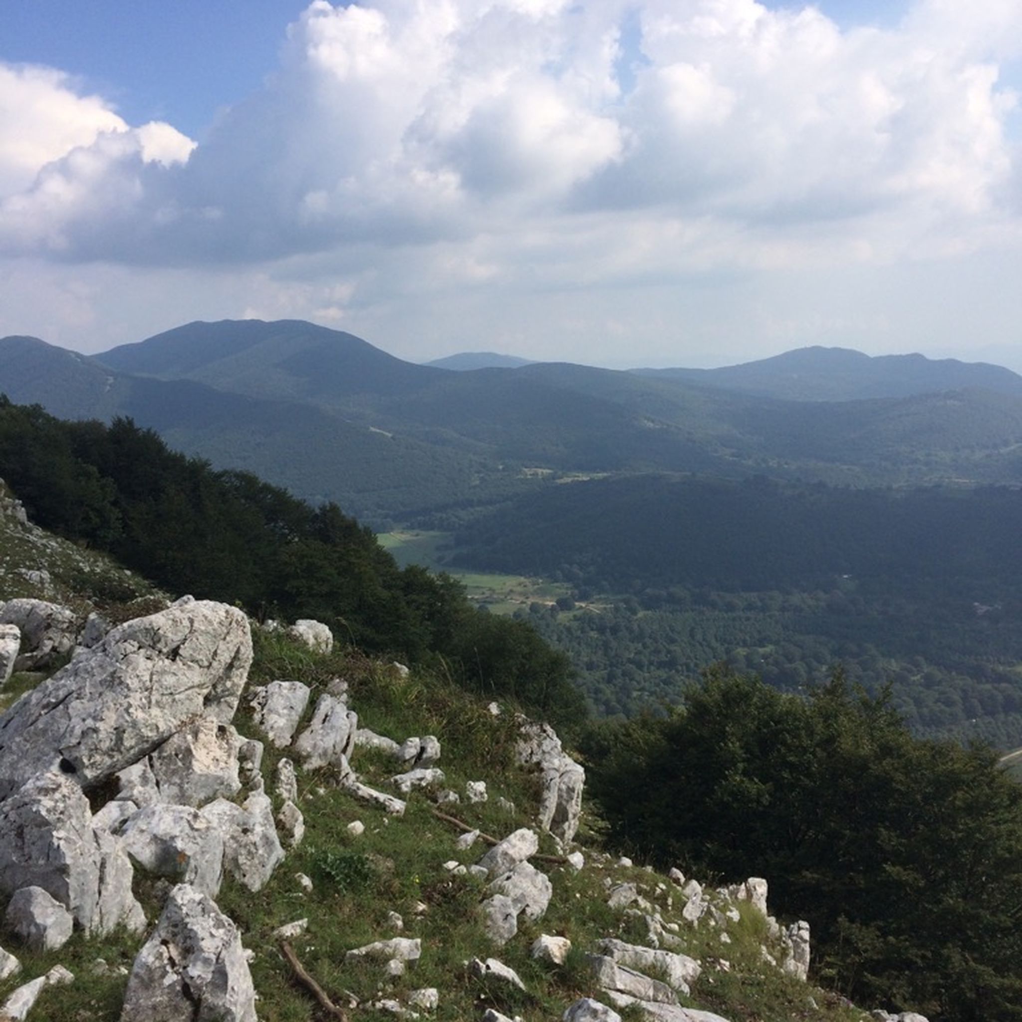
Hiking around Riserva Naturale Regionale Oasi WWF Guardiaregia - Campochiaro

Running Trails around Riserva Naturale Regionale Oasi WWF Guardiaregia - Campochiaro
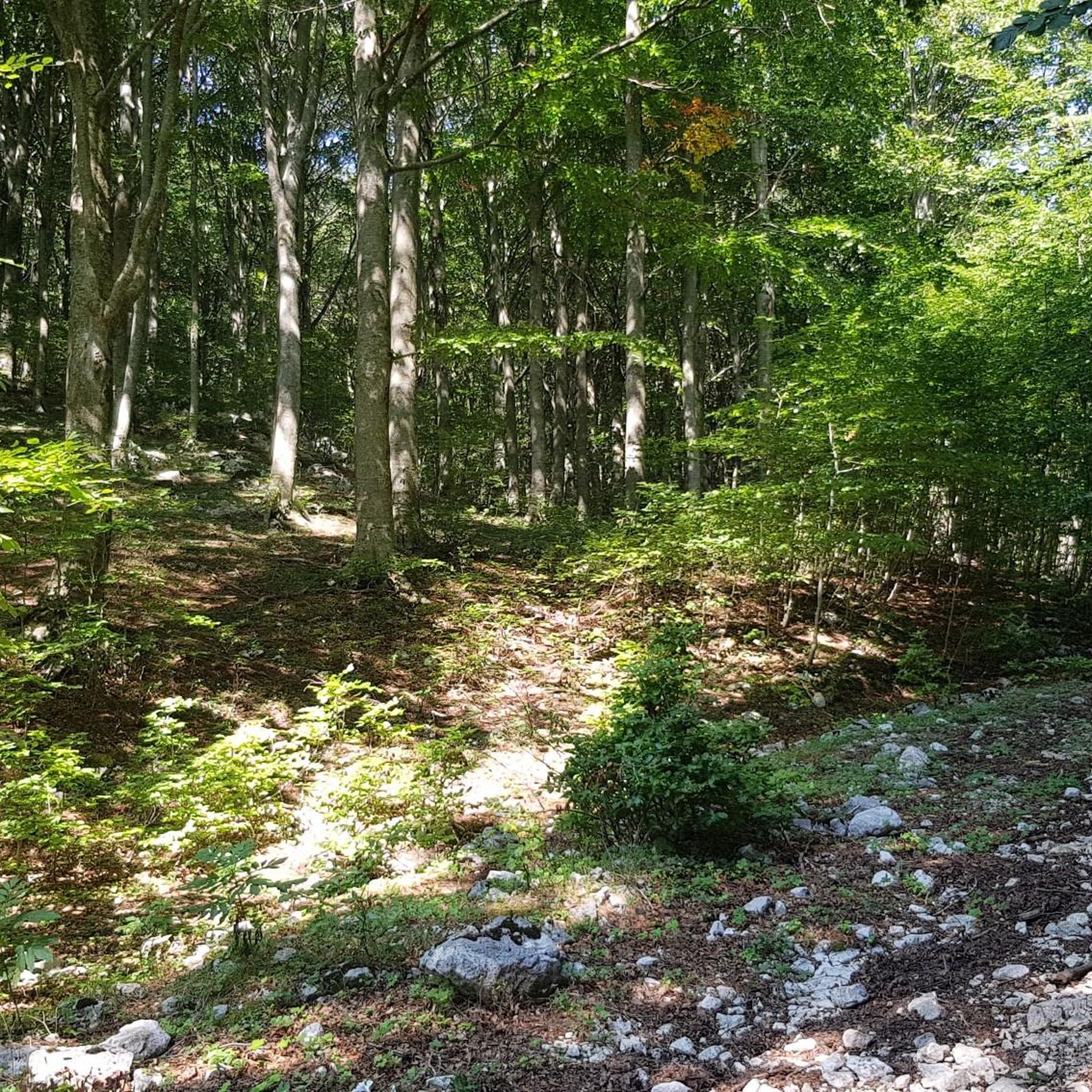
MTB Trails around Riserva Naturale Regionale Oasi WWF Guardiaregia - Campochiaro
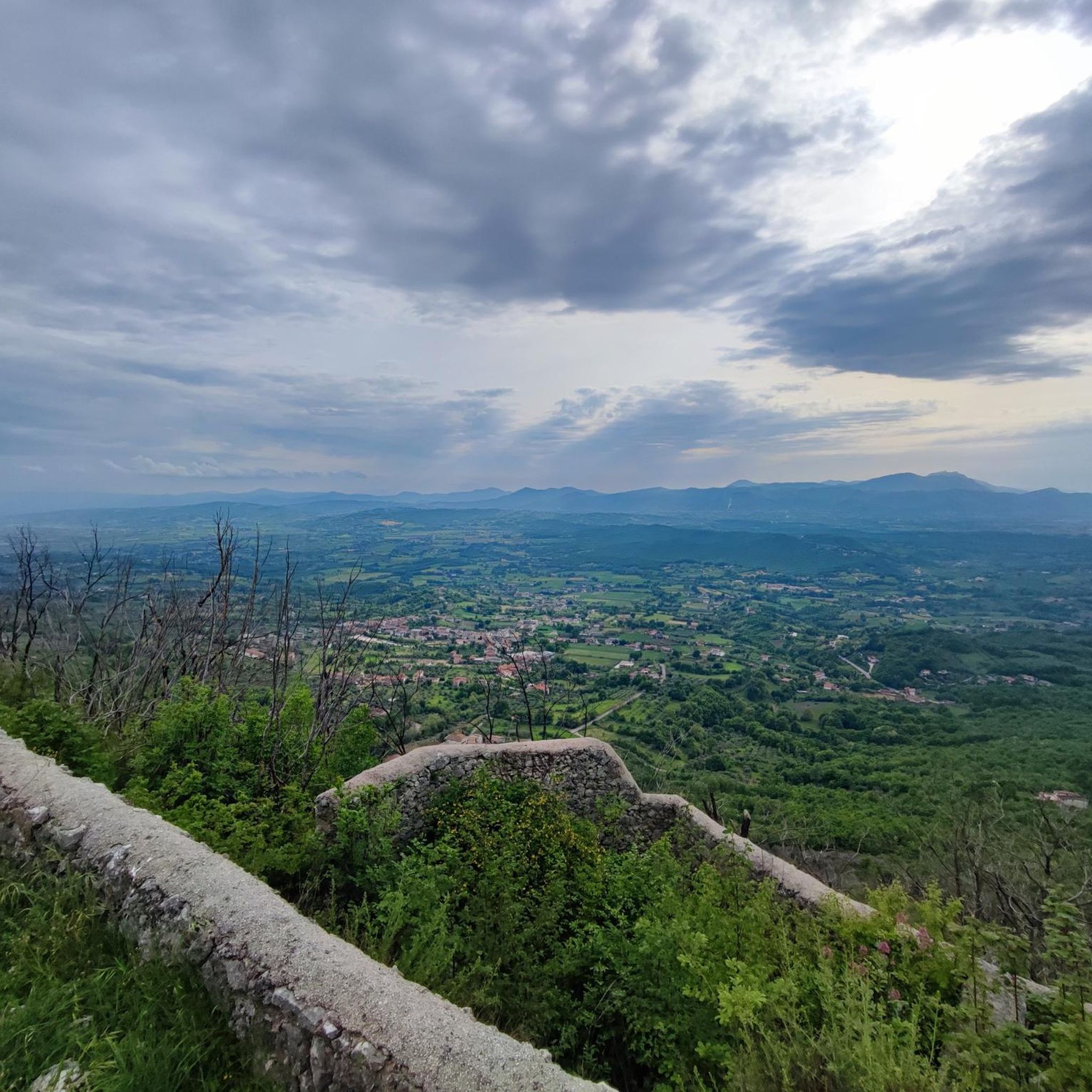
Cycling around Riserva Naturale Regionale Oasi WWF Guardiaregia - Campochiaro
Tips from the Community

A mountain town with beautiful views, it's a shame it isn't looked after as it should, endless road and renovation works, few accommodations, each one a Patrizia in itself without a connection, non-existent tourist information. This is in the summer, in the winter they told me even worse as an organization
2
0

I knew the name for being the destination of the "Trans-Siberian of Italy" is a secondary railway line in Abruzzo and Molise. It is now crossed by tourist trains as part of the "Timeless Tracks" project
0
0
Bojano is a municipality in the province of Campobasso in Molise. In its territory the sources of the Biferno river
0
0
The Biferno spring which flows copiously from the rock, feeding a basin of crystalline water. A place of refreshment and peace a stone's throw from the town center of Bojano
0
0

One of the most famous tourist resorts in Molise. It is a fraction of San Massimo, at an altitude of 1450m. There are ski rentals, bars and restaurants. We are in the high matese, and we can admire the highest peaks in the area
0
0

Ancient and very small village which houses the rock church of San Michele. The village is in an elevated position and guarantees excellent views of the plain below.
1
0
Beautiful city, together with Campobasso it is one of the two provinces of Molise. We sadly remember the bombing carried out by the allies during the Second World War which razed a large part of the historic center of the city and caused the death of many citizens.
2
0

Beautiful village with interesting views.
8
1
Frequently Asked Questions
How many road cycling routes are available in Riserva Naturale Regionale Oasi WWF Guardiaregia - Campochiaro?
There are over 60 road cycling routes in the Riserva Naturale Regionale Oasi WWF Guardiaregia - Campochiaro, offering a wide range of experiences for cyclists. These routes have been explored by more than 600 road cyclists using komoot.
What is the terrain like for road cycling in the region?
The region offers diverse and dramatic terrain, characterized by deep gorges, dense beech forests, and mountainous landscapes. You'll find everything from well-paved surfaces with modest elevation gains to significant ascents, particularly around Monte Mutria, which reaches 1,823 meters. This varied topography provides options for all skill levels.
Are there road cycling routes suitable for beginners or those seeking an easier ride?
Yes, while the region is known for its challenging climbs, there are routes with mostly well-paved surfaces and modest elevation gains suitable for any fitness level. Out of the 64 routes, 4 are classified as easy and 28 as moderate, offering gentler options to enjoy the scenery.
What kind of challenging routes can experienced road cyclists expect?
Experienced road cyclists will find plenty of demanding options, with 32 routes classified as difficult. These routes feature significant climbs, often exceeding 1500 feet of elevation gain, and can take over 5 hours to complete. For example, the Ponte del Diavolo (Arcichiaro) – View of Guardiaregia loop from Guardiaregia is a difficult 59.4-mile path with substantial climbs and expansive views.
What natural features or landmarks can I see along the road cycling routes?
As you cycle, you can enjoy views of the deep Quirino Stream Gorges and the seasonal San Nicola waterfall. The mountainous terrain around Monte Mutria offers panoramic vistas. Notable points of interest include the The Three Brothers natural monument, and the Switchbacks Above the Arcichiaro Dam. You might also pass through dense beech forests, particularly on the northern slopes of Monte Mutria.
Are there circular road cycling routes available?
Yes, many of the routes are designed as loops, allowing you to start and end in the same location. For instance, the popular View of Guardiaregia – Ponte del Diavolo (Arcichiaro) loop from Guardiaregia is a 33.7-mile circular trail. Another option is La Riserva Regionale Guardiaregia-Campochiaro – loop from Bojano.
What is the best time of year for road cycling in Riserva Naturale Regionale Oasi WWF Guardiaregia - Campochiaro?
The spring and autumn months generally offer the most pleasant conditions for road cycling, with milder temperatures and vibrant scenery. While the San Nicola waterfall is a stunning visual spectacle, its flow is seasonal and may be absent in July and August. Summer can be warm, especially on climbs, while winter may bring colder temperatures and potential snow at higher elevations.
What do other road cyclists enjoy most about cycling in this region?
The komoot community highly rates the road cycling experience here, with an average score of 4.1 stars from over 30 reviews. Cyclists often praise the diverse landscapes, from deep gorges to dense beech forests, and the rewarding challenge of the mountainous terrain. The expansive views from higher elevations are also frequently highlighted as a major draw.
Is there parking available near the road cycling routes?
While specific parking areas for each route vary, towns like Guardiaregia and Campochiaro, which serve as common starting points for many routes, typically offer parking facilities. It's advisable to check local signage upon arrival.
Can I find cafes or places to stop for refreshments along the routes?
The towns and villages within and surrounding the Riserva Naturale Regionale Oasi WWF Guardiaregia - Campochiaro, such as Guardiaregia, Campochiaro, and Bojano, offer various cafes and eateries where you can stop for refreshments. Planning your route to pass through these settlements will ensure opportunities for breaks.
Are there any family-friendly road cycling options?
For families or those preferring a more relaxed pace, focus on the easier routes with less elevation gain and well-paved surfaces. While the region is known for its challenging terrain, some routes are suitable for any fitness level, allowing families to enjoy the beautiful scenery together. Always check the route details for distance and elevation before setting out.
Most popular routes around Riserva Naturale Regionale Oasi WWF Guardiaregia - Campochiaro
Most popular attractions around Riserva Naturale Regionale Oasi WWF Guardiaregia - Campochiaro

Get inspired with the komoot mobile app


Explore more
Browse the best Road cycling routes in other regions.
