The best walks and hikes around Brunsleberfeld
4.6
(7271)
25,983
hikers
894
hikes
Hiking around Brunsleberfeld offers diverse trails within eastern Lower Saxony, framed by the towns of Schöningen, Schöppenstedt, and Königslutter am Elm. The region is characterized by the Elm, Northern Germany's largest beech forest, providing extensive woodland paths. The landscape also features the source of the Schunter River, contributing to varied terrain suitable for different hiking experiences.
Best hiking trails around Brunsleberfeld
- The most popular hiking route is Schuntersee – Schunter Spring loop from Brunsleberfeld, a 5.7 miles (9.2 km)…
Last updated: June 26, 2026
4.4
(20)
77
hikers
9.21km
02:27
90m
100m
Moderate hike. Good fitness required. Easily-accessible paths. Suitable for all skill levels.
4.5
(11)
60
hikers
10.3km
02:47
140m
140m
Moderate hike. Good fitness required. Easily-accessible paths. Suitable for all skill levels.

Sign up for free
4.6
(13)
40
hikers
14.7km
03:54
140m
140m
Moderate hike. Good fitness required. Easily-accessible paths. Suitable for all skill levels.
4.7
(6)
33
hikers
4.11km
01:05
30m
30m
Easy hike. Great for any fitness level. Easily-accessible paths. Suitable for all skill levels.
4.3
(9)
20
hikers
2.85km
00:46
30m
30m
Easy hike. Great for any fitness level. Easily-accessible paths. Suitable for all skill levels.
Get access to more routes and recommendations from other explorers.
Sign up for free
Already have an account?
Our route recommendations are based on thousands of hikes, rides, and runs completed by other people on komoot.
Start today with a free account
Your next adventure awaits.
Login or Signup
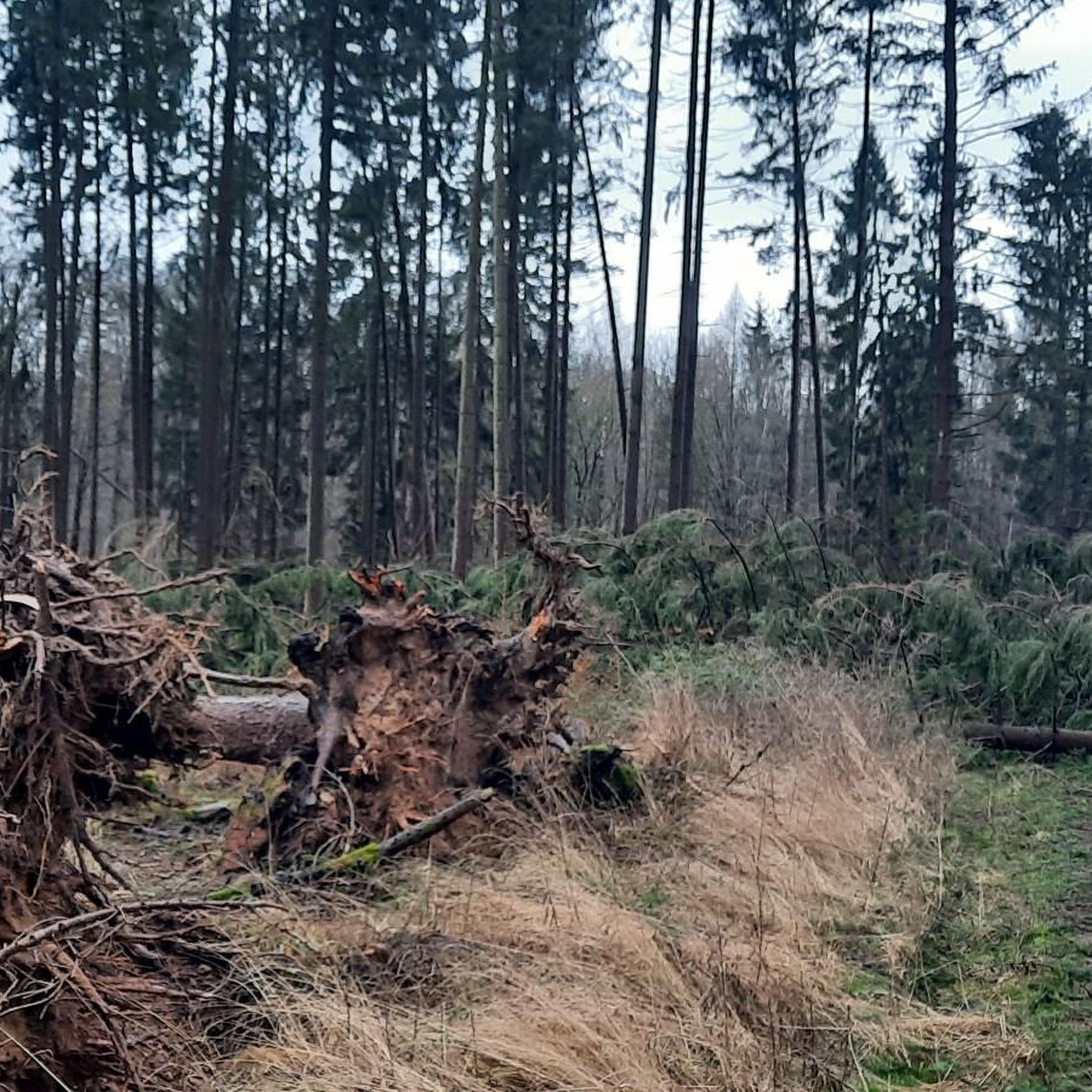
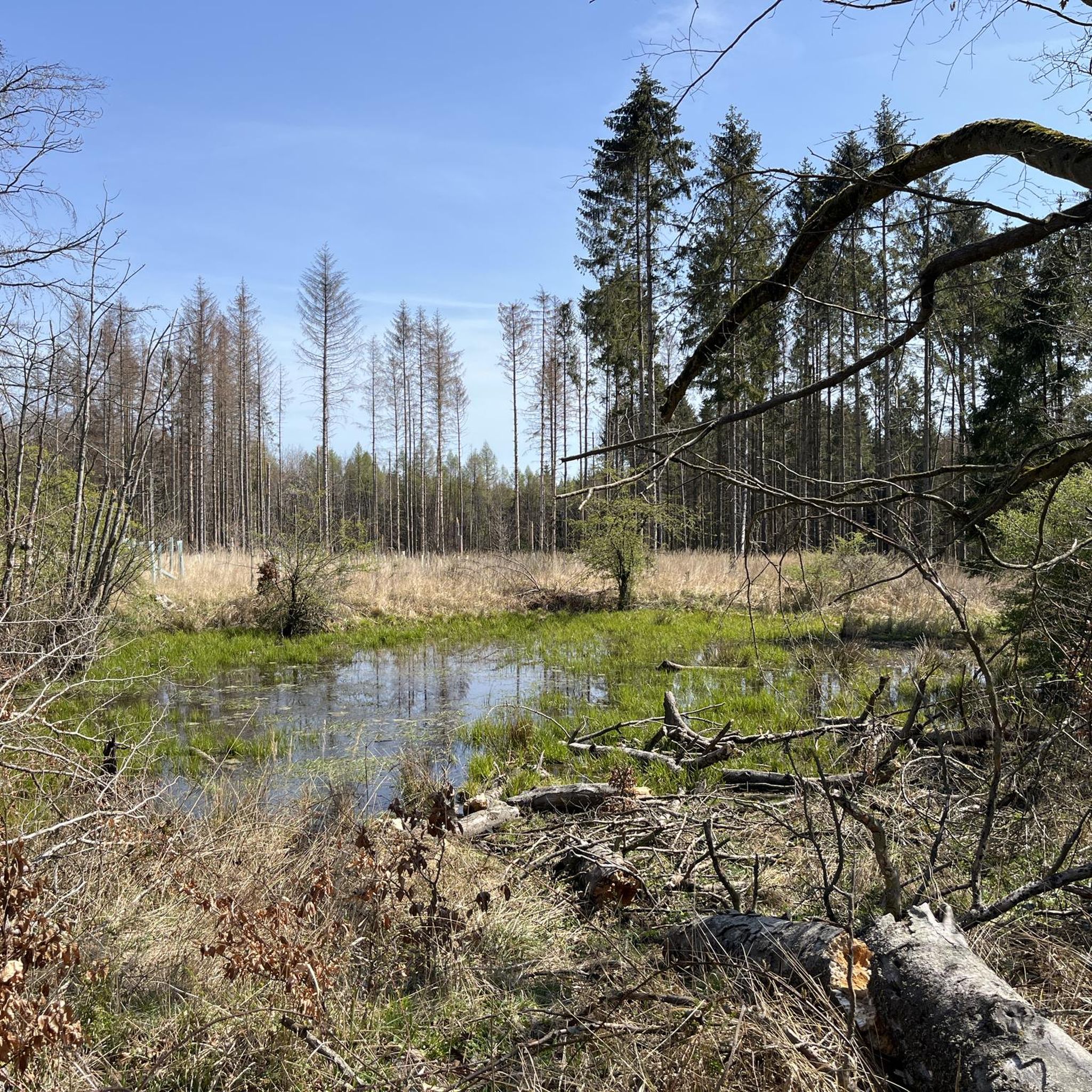
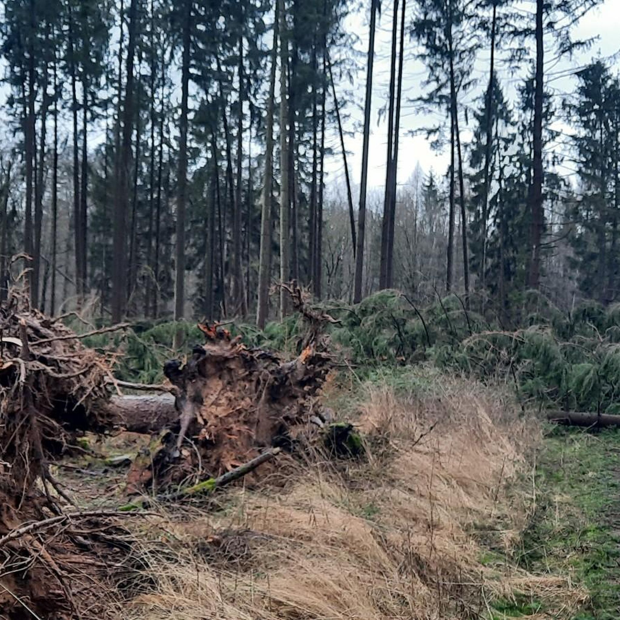

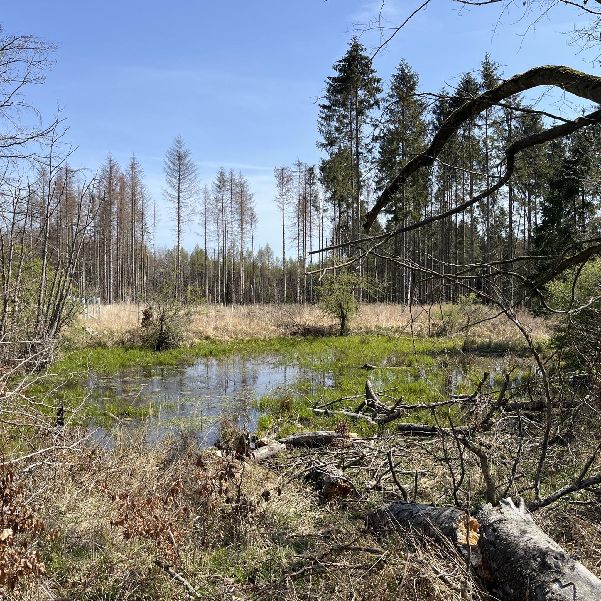
Tips from the Community

Finally, a shelter.
0
0

A very nice highlight.
0
0
It's worth taking a photo stop here.
0
0
Great installation. It's worth stopping here for a photo.
0
0
A great highlight. Highly recommended!
1
0
A great highlight. Highly recommended!
0
0

Warberg Castle is situated in a very attractive landscape on the northern slope of the Elmes River. After the destruction of the first motte-and-bailey castle in 1199, the complex was probably replaced in the 13th century by a fortified moated castle on an artificially created hill in the valley. In a war waged by Duke Magnus the Elder of Brunswick in 1347 against Archbishop Otto of Magdeburg, the noblemen Gebhard and Burchard von Warberg fought as leaders of the duke, who was defeated that same year. As a result of these military events, Warberg Castle was severely damaged in 1356 but was subsequently restored. In 1552, Christoph von Warberg converted the castle into an impressive Renaissance palace, which is documented in a Merian engraving from 1654. The very beautiful and well-preserved niche portal on the side facing the courtyard dates from this period. The addition of a storey to the old upper castle building resulted in such an increase in load that the foundations could not adequately withstand the pressure, and the two upper floors had to be demolished. At the beginning of the 16th century, during the Thirty Years' War, the noble von Warberg family began to decline. The castle was gradually demolished except for the ground floor walls. A temporary roof, probably dating from the 19th century, made it possible to preserve the remaining structure, which from then on served to manage the domain. The present castle complex is divided into a renovated lower castle, used by the Bundeslehranstalt Burg Warberg e.V. as a seminar hotel, and the now also renovated upper castle, which was reopened to the public on April 25, 2004. The German Foundation for Monument Protection was involved in the renovation of Warberg Castle in 2000 and 2001.
0
2
Frequently Asked Questions
What kind of terrain can I expect when hiking around Brunsleberfeld?
Brunsleberfeld is nestled within the Elm, Northern Germany's largest beech forest, so you can expect extensive woodland paths. The landscape also features the source of the Schunter River and offers varied terrain, including moderate ascents, suitable for different hiking experiences.
Are there many hiking trails available in Brunsleberfeld?
Yes, Brunsleberfeld boasts an extensive network of hiking trails. There are nearly 900 routes recorded, offering options for various durations, lengths, and difficulty levels, from easy strolls to more challenging routes.
Are there any easy hiking routes suitable for beginners or a relaxed walk?
Absolutely. For an easy and pleasant walk, consider the Schunter Spring – Schuntersee loop from Brunsleberfeld. This route is about 4.1 km long and takes just over an hour to complete, offering a gentle exploration of the area.
What are some notable natural features or landmarks to look out for on the trails?
A prominent natural feature is the source of the Schunter River, located above Räbke. You can explore this area on routes like the Schunter Spring loop from Brunsleberfeld. Additionally, the region is defined by the vast Elm beech forest, offering beautiful woodland scenery.
Are there any circular hiking routes in the Brunsleberfeld area?
Many of the trails in Brunsleberfeld are designed as loops, providing convenient circular walks. For example, the Schunter Spring – Schuntersee loop from Brunsleberfeld is an easy option, while the Schunter Spring – Old Warberg Castle Ruins loop from Brunsleberfeld offers a longer, moderate challenge.
What do other hikers say about the trails in Brunsleberfeld?
The routes in Brunsleberfeld are highly rated by the komoot community, with an average score of 4.6 stars from over 6600 reviews. Hikers often praise the diverse terrain, the beauty of the beech forests, and the well-maintained paths.
Are there any interesting historical sites or attractions near the hiking trails?
Yes, the area offers several points of interest. You can find the Hagen Monument at the Tetzelstein, which is featured on some routes. Other nearby attractions include the historic Lucklum Manor and the impressive Königslutter Imperial Cathedral.
Are there places to stop for a break or shelter along the trails?
Yes, there are several huts and shelters available. You might come across the Karl-May Valley Shelter and Stamp Station 5 or the Franz Bachmann Hut. These provide good spots for a rest during your hike.
What is the best time of year to go hiking in Brunsleberfeld?
Given that Brunsleberfeld is home to Northern Germany's largest beech forest, autumn is a particularly beautiful time to visit, with vibrant foliage. However, the varied terrain and extensive trail network make it suitable for hiking throughout much of the year, offering different charms in each season.
Are there options for shorter hikes in Brunsleberfeld?
Certainly. If you're looking for a shorter excursion, the Schunter Spring loop from Brunsleberfeld is an excellent choice. It's approximately 2.8 km long and can be completed in about 45 minutes, perfect for a quick nature escape.
Are there any challenging hiking routes for experienced hikers?
While many routes are easy to moderate, the region does offer more challenging options. With 37 difficult routes available, you can find trails with greater distances and elevation changes to test your endurance within the Elm forest.
Where are common starting points for hikes in Brunsleberfeld?
A recognized hub for outdoor enthusiasts and a common starting point for several hikes is the excursion restaurant 'Zur Schunterquelle' above Räbke. Many trails begin or pass through this area, making it a convenient access point.
Most popular attractions around Brunsleberfeld

Get inspired with the komoot mobile app


Explore more
Browse the best Hikes in other regions.
