The best running trails around Canicosa De La Sierra
172
runners
26
runs
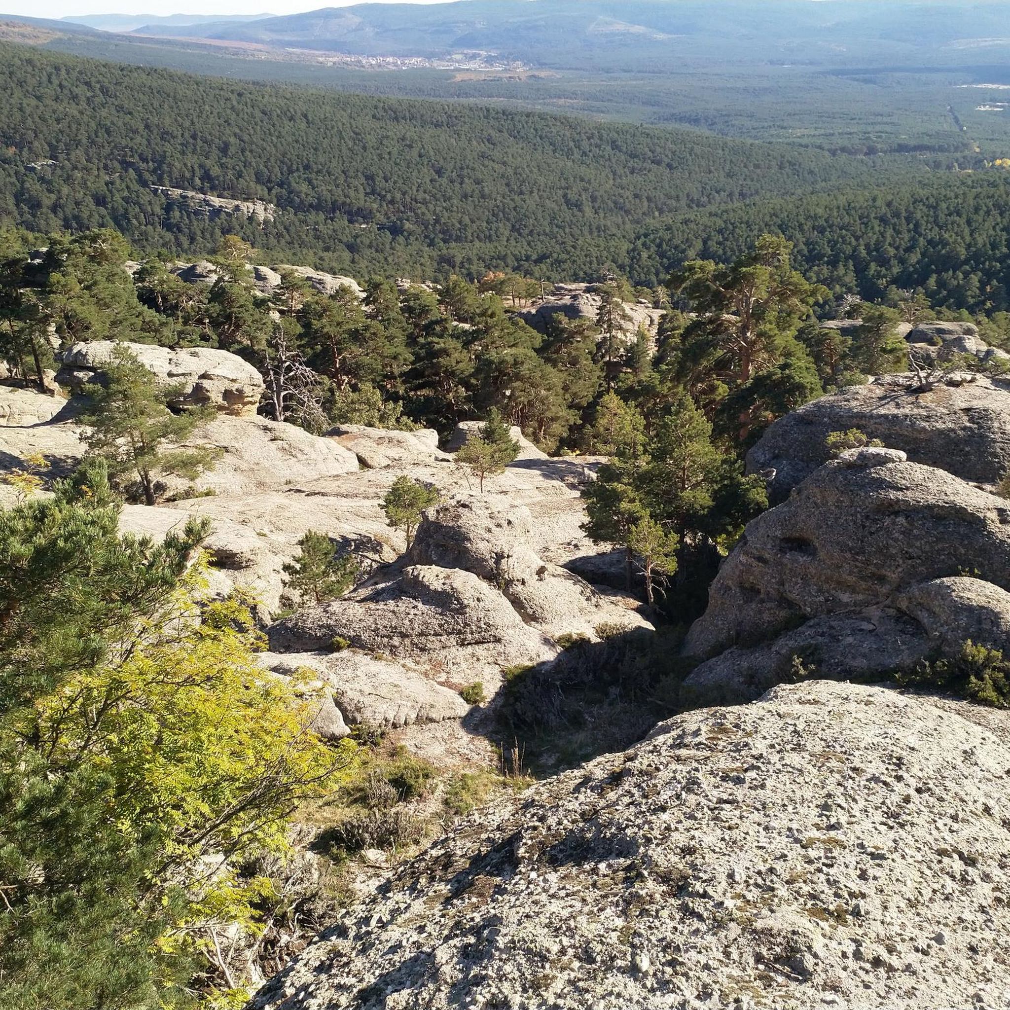
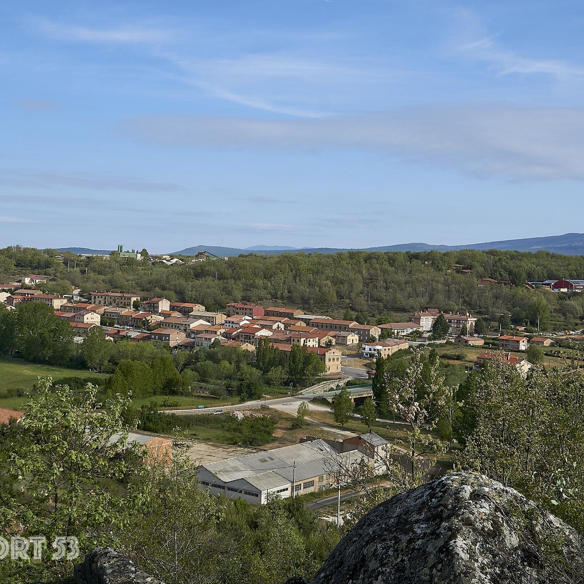
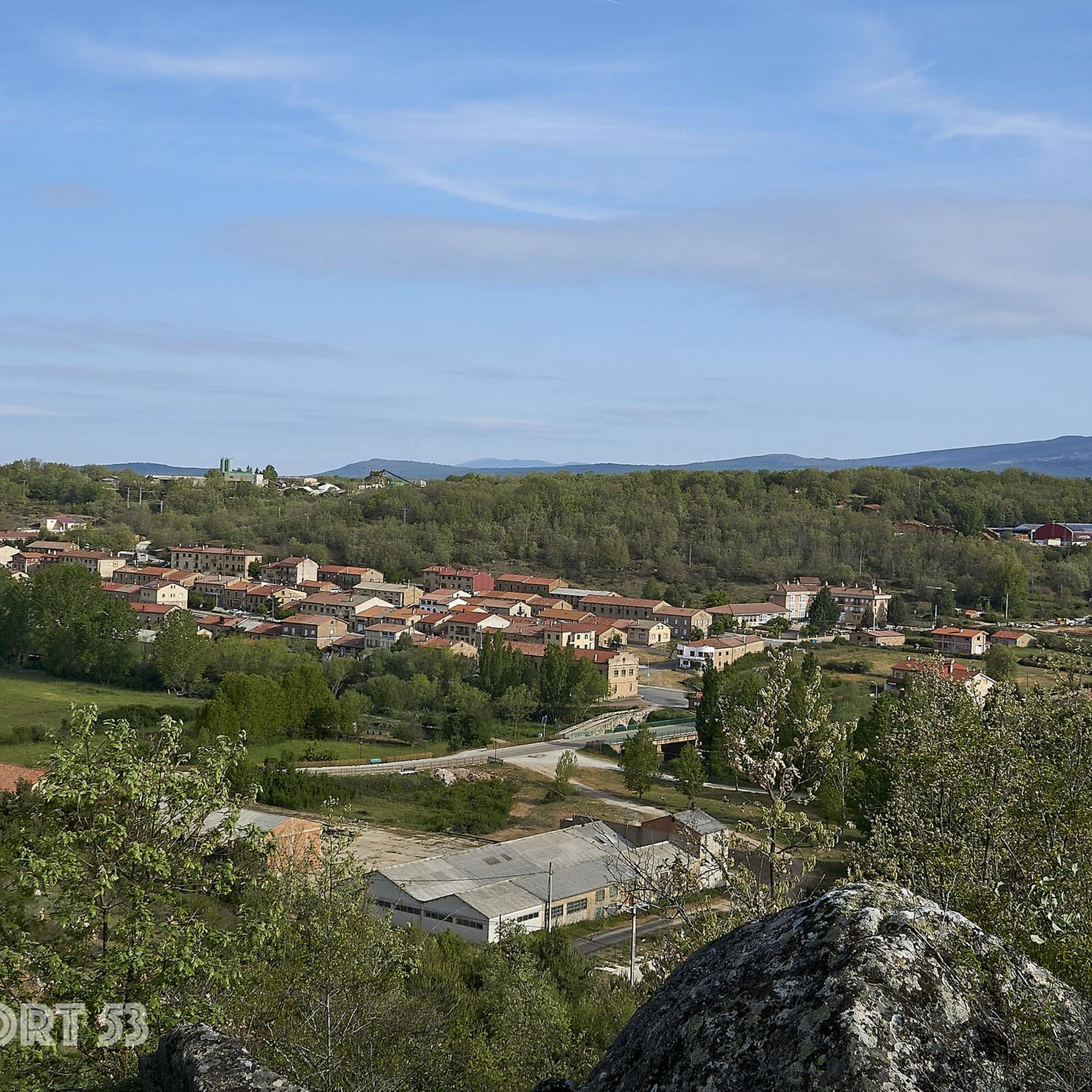
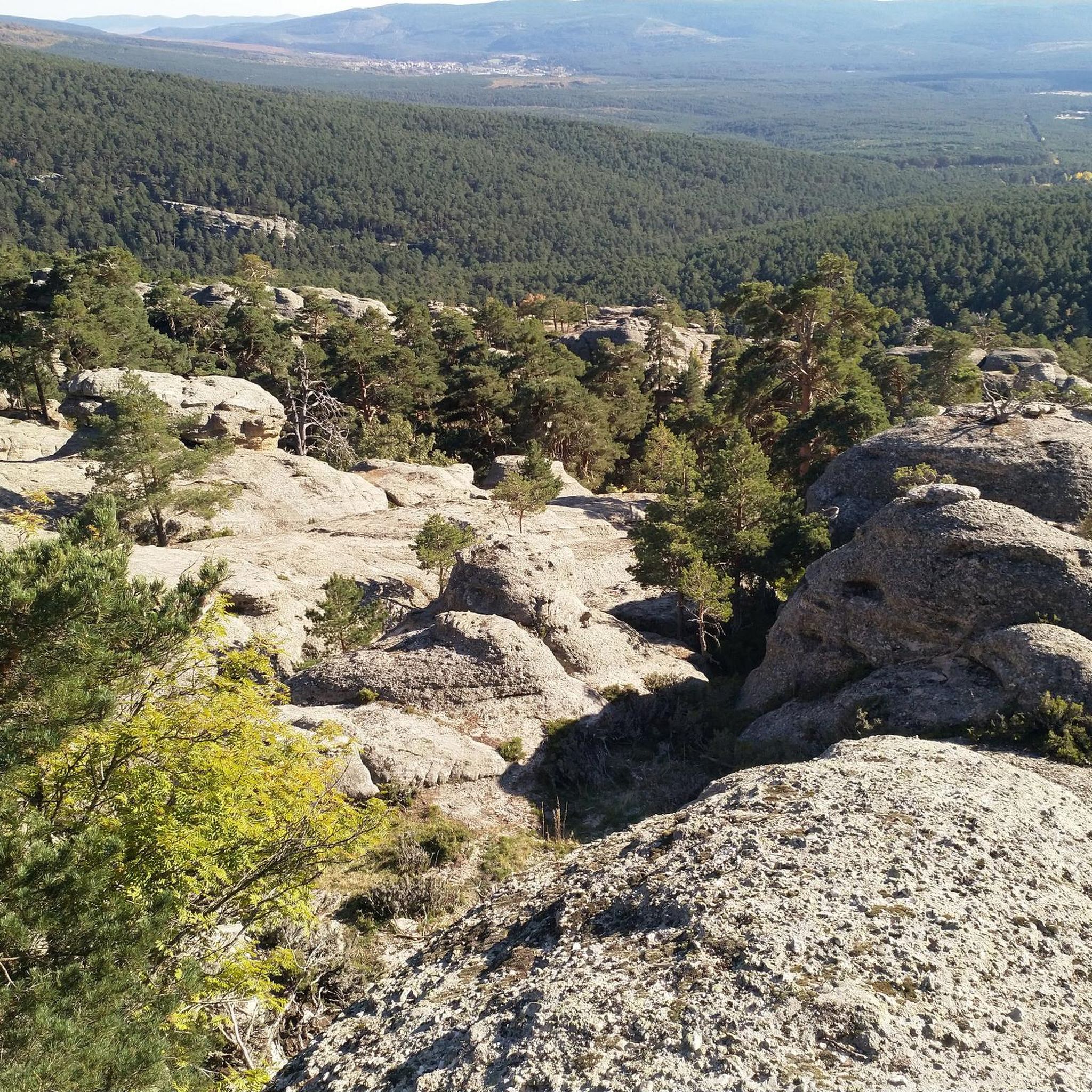
Jogging around Canicosa De La Sierra offers access to a landscape characterized by extensive pine and oak forests, mountainous terrain, and ancient geological formations. The region is situated at the foot of the Urbión peaks and within the Sierra de la Demanda, providing a refreshing environment for outdoor pursuits. Varied terrain, from accessible paths to more challenging trails with elevation changes, caters to different fitness levels. This area is known for its perennial green forests and the fragrant scent of…
Last updated: October 7, 2026
2
runners
Hard run. Very good fitness required. Mostly paved surfaces. Suitable for all skill levels.
40
runners
29.5km
03:44
640m
640m
Hard run. Very good fitness required. Mostly paved surfaces. Suitable for all skill levels.

28
runners
25.9km
04:07
1,210m
1,210m
Hard run. Very good fitness required. Sure-footedness, sturdy shoes and alpine experience required.
22
runners
Hard run. Very good fitness required. Sure-footedness, sturdy shoes and alpine experience required.
10
runners
22.1km
03:42
1,050m
1,050m
Hard run. Very good fitness required. Sure-footedness, sturdy shoes and alpine experience required.
Get access to more routes and recommendations from other explorers.
Already have an account?
Our route recommendations are based on thousands of hikes, rides, and runs completed by other people on komoot.
Start today with a free account
Your next adventure awaits.
Tips from the Community


The Cueva Serena Waterfall, located in Duruelo de la Sierra (Soria), is one of the most magical and surprising spots in the Pinares de Urbión region. It's located very close to the Castroviejo area, known for its rock formations reminiscent of an enchanted city.
3
0
Nice area for outdoor activities.
0
0
Nice area for outdoor activities.
0
0
Nice area for outdoor activities.
0
0
Nice area for outdoor activities.
0
0
Nice area for outdoor activities.
0
0
Nice area for outdoor activities.
0
0
Frequently Asked Questions
How many running routes are available around Canicosa De La Sierra?
There are over 10 dedicated running routes around Canicosa De La Sierra listed on komoot. These trails offer a variety of experiences through the region's beautiful natural landscapes.
What kind of terrain can I expect on the running trails in this region?
The running trails around Canicosa De La Sierra are characterized by extensive pine and oak forests and mountainous terrain. You'll find varied surfaces, from accessible paths to more challenging trails with significant elevation changes, catering to different fitness levels. The area is part of the 'Tierra de Pinares', so expect the refreshing scent of Scots pine.
Are there running routes suitable for all fitness levels?
While there are no easy routes listed, the area offers a good mix of challenges. You'll find 6 moderate running routes and 8 difficult routes, ensuring options for both intermediate and experienced runners looking for a challenge.
Are there any running routes that feature waterfalls?
Yes, several routes allow you to experience the region's beautiful waterfalls. For example, the difficult route Mirador de Castroviejo, cascada de la Chorla y Cueva Serena – trail running circular desde Duruelo de la Sierra passes by the stunning Cueva Serena Waterfall and Chorla Waterfall. Another option is the Chorla Waterfall – Cueva Serena Waterfall loop from Duruelo de la Sierra.
Can I find running routes with scenic viewpoints?
Absolutely. The region is known for its breathtaking vistas. The Mirador de Castroviejo, cascada de la Chorla y Cueva Serena – trail running circular desde Duruelo de la Sierra route offers views of the unique Castroviejo rock formations. Additionally, the San Francisco Viewpoint, which provides amazing, infinite views of the mountains of the Lagunas Glaciares de Neila Natural Park, is a notable highlight in the area.
Are there any circular running routes available?
Yes, many of the running routes in the area are circular, allowing you to start and finish at the same point. Examples include the Mirador de Castroviejo, cascada de la Chorla y Cueva Serena – trail running circular desde Duruelo de la Sierra and the Chorla Waterfall – Cueva Serena Waterfall loop from Duruelo de la Sierra.
What are some moderate running routes I can try?
For a moderate challenge, consider the Running loop from Navaleno, which covers about 9.2 km with a moderate elevation gain. Another good option is the Quintanar de la Sierra – Cueva de Andrés Hermitage loop from Quintanar de la Sierra, a 11.1 km route that takes you past the Cueva de Andrés Hermitage.
Are there any longer, more challenging running trails for experienced runners?
Experienced runners will find several difficult routes. The El Astillero Junction – Covarnantes Rock Formations loop from Almirón is a challenging 26.5 km path with significant elevation gain, leading through varied forest landscapes. The Mirador de Castroviejo, cascada de la Chorla y Cueva Serena – trail running circular desde Duruelo de la Sierra is another difficult option, spanning 15.1 km.
What is the best time of year for running in Canicosa De La Sierra?
Canicosa De La Sierra is suitable for outdoor pursuits year-round. The climate is cool in winter and moderate to warm in summer, making it agreeable for running in most seasons. The perennial green pine and oak forests offer a refreshing environment regardless of the time of year.
What natural features or landmarks can I explore near the running routes?
Beyond the trails themselves, the region boasts several natural and historical landmarks. You can visit the Cueva Serena Waterfall, the Castroviejo Viewpoint, or the Chorla Waterfall. The San Francisco Viewpoint offers panoramic mountain views. The area is also close to the Lagunas Glaciares de Neila Natural Park and features ancient geological formations.
Are there any historical sites or cultural points of interest along the running paths?
While the primary focus is natural beauty, the broader region has historical significance. The Duero Path (GR-14), which originates near the Urbión peaks, offers well-marked tracks with historical interest. Additionally, the nearby Necrópolis de Revenga, with its 140 rock-hewn tombs, adds a cultural dimension to outdoor excursions, allowing for exploration of the region's past.
Most popular routes around Canicosa De La Sierra
Most popular attractions around Canicosa De La Sierra

Get inspired with the komoot mobile app


Explore more
Browse the best Running Trails & Routes in other regions.
