The best walks and hikes around Sierro
4.4
(40)
195
hikers
33
hikes
Hiking around Sierro offers access to a diverse landscape characterized by rolling hills, valleys, and historical mining areas within the Almería region. The terrain often features a mix of arid and semi-arid environments, with occasional green pockets along watercourses or in higher elevations. Hikers can expect paths that traverse agricultural lands, natural rock formations, and areas with historical significance. The region provides a variety of trails suitable for different experience levels.
Best hiking trails around Sierro
- The most popular hiking…
Last updated: October 6, 2026
4.5
(4)
9
hikers
6.27km
01:57
240m
240m
Moderate hike. Great for any fitness level. Mostly accessible paths. Sure-footedness required.
12
hikers
4.87km
01:22
90m
100m
Easy hike. Great for any fitness level. Easily-accessible paths. Suitable for all skill levels.

4.0
(1)
5
hikers
11.1km
03:27
440m
430m
Moderate hike. Good fitness required. Easily-accessible paths. Suitable for all skill levels.
5.0
(1)
4
hikers
12.3km
03:40
370m
370m
Moderate hike. Good fitness required. Easily-accessible paths. Suitable for all skill levels.
4.0
(1)
7
hikers
12.9km
04:23
680m
680m
Moderate hike. Good fitness required. Easily-accessible paths. Suitable for all skill levels.
Get access to more routes and recommendations from other explorers.
Already have an account?
Our route recommendations are based on thousands of hikes, rides, and runs completed by other people on komoot.
Start today with a free account
Your next adventure awaits.
Tips from the Community


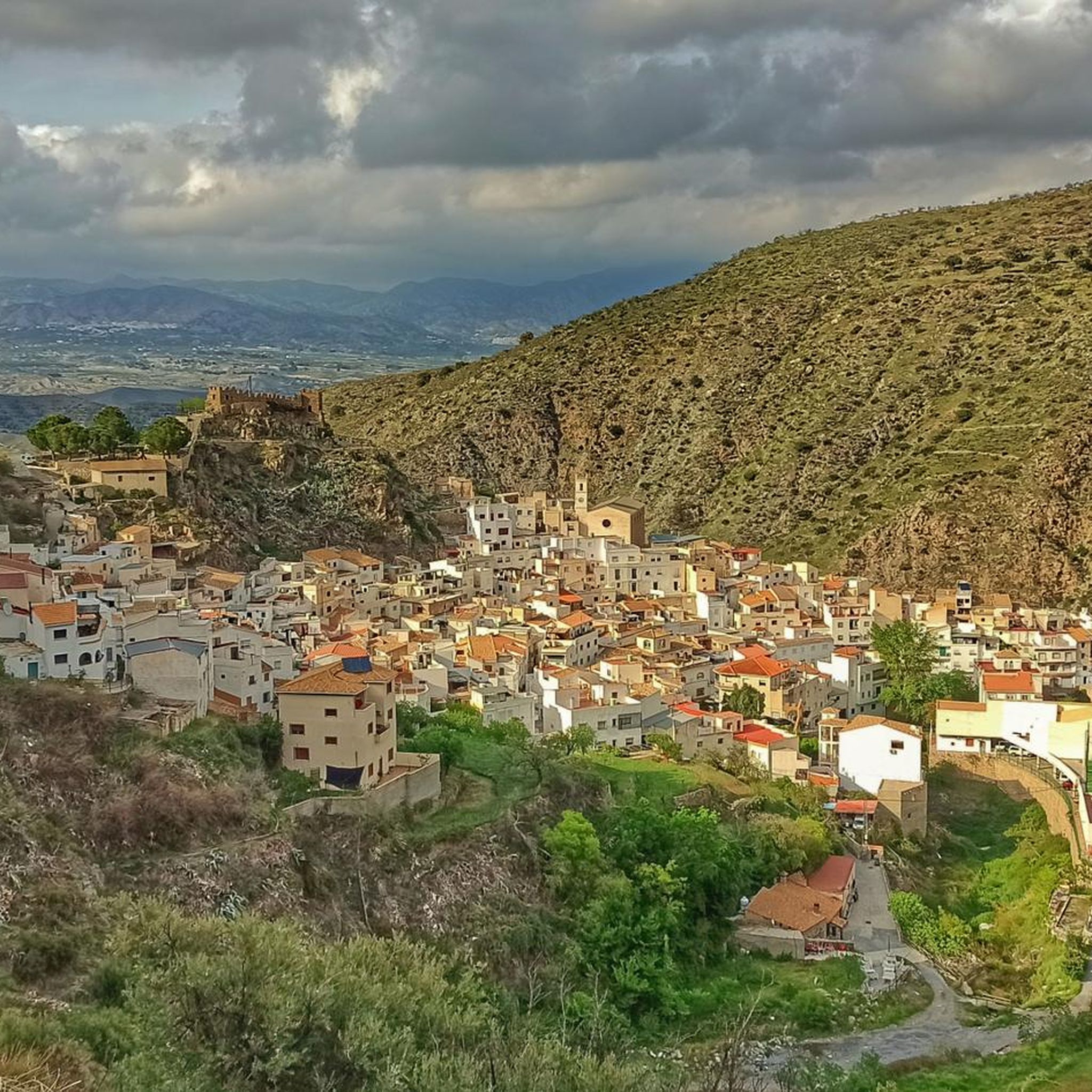
This small urban center is located in the foothills of the Sierra de los Filabres and offers an impressive landscape. Its plain watered by the Bacares River and the surrounding mountains make up a quiet and secluded environment. The history of Bayarque is linked to mining and agriculture, and its culture and gastronomy are part of its charm. If you ever visit Bayarque, you can enjoy its natural beauty and immerse yourself in its history and traditions. 🌿🏞️
1
0
The Barrancón Water Trail in Bacares, Andalusia, is a route that immerses you in nature and takes you to discover the beauty of the area. The beginning of the trail is at the entrance to the town, with an information panel detailing the route. There is no loss, since it is round trip. In addition, you can take the opportunity to visit the hermitage of Santísimo Cristo del Bosque and explore the historic streets of Bacares. Enjoy this natural corner in Andalusia! 🌿🏞️
1
0

Bacares Castle is a fortress built mostly in the 13th century. It is related to the end of the Almohad period and the beginning of the Nasrid kingdom of Granada. The remains of the castle stand on a small promontory at the east end of the town. It had a rectangular plan, with five square towers and another rectangular one. Of the seven rooms that the castle consisted of, the foundations and part of the interior walls are preserved. In 2008 and 2009, an architectural intervention was carried out since many remains were in poor condition. Rooms were restored, creating walkways and viewpoints.
0
0


Medieval castle-fortress, Islamic style, located in the highest part of the town, rising about 300 meters from the river, with wide visibility over the territory.
1
0

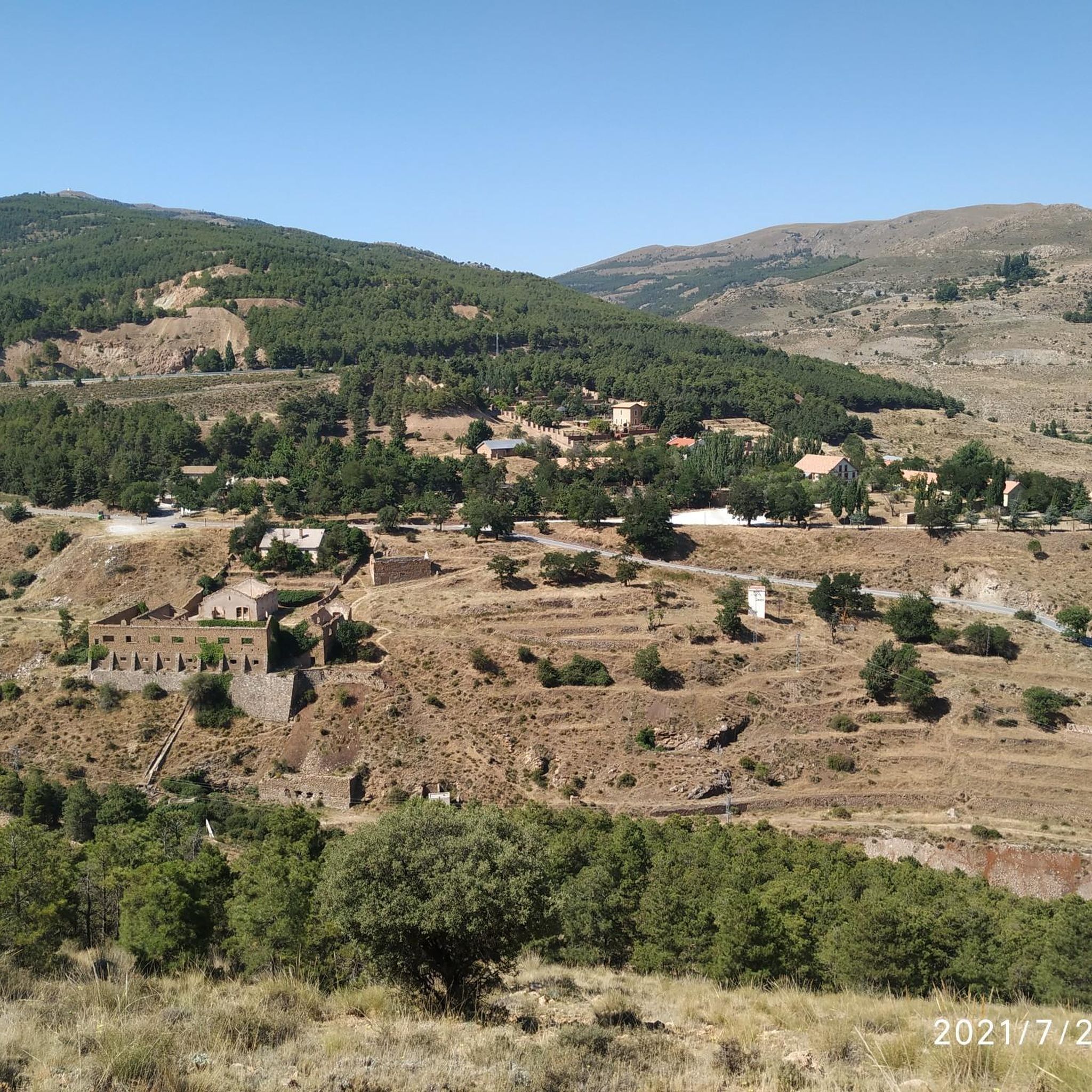
At the foot of the Sierra de los Filabres, looking towards the Almanzora basin, is this small farming and livestock town. Before the Moorish revolts of 1568, the economic activity of Bayarque was based on obtaining silk, dry and irrigated agriculture, olive trees and vineyards. In the 19th century and until the middle of the 20th there was some mining activity but finally the town gradually became depopulated.
1
0
Medieval castle-fortress of Islamic Berber style. With a difference of 300 m above the river that crosses the town of Sierro, this castle stands out for its prominence and good views of the entire territory that surrounds it. It dates from the 12th century and its reconstruction is from the year 2011.
1
0
Frequently Asked Questions
How many hiking trails are available around Sierro?
Sierro offers a diverse network of over 20 hiking trails, catering to various skill levels. You'll find routes ranging from easy strolls to more challenging treks through the region's unique landscapes.
Are there easy hiking trails suitable for beginners or families in Sierro?
Yes, Sierro has several easy trails perfect for beginners and families. For instance, the Fuente de las Focas of Macael – Monument to the Mother loop from Macael is an easy 3.3-mile (5.2 km) route that offers a pleasant experience without significant elevation changes.
Can I find circular hiking routes in Sierro?
Absolutely. Many trails in Sierro are circular, allowing you to start and end at the same point. A popular option is the Saw by the Era del Violín – circular (SL-A 13), a moderate 3.9-mile (6.3 km) path that showcases varied scenery.
What is the typical length and duration of hikes in Sierro?
Hikes in Sierro vary significantly. You can find shorter routes like the Las Menas to Bacares – Barrancón River Waterfall loop from Bacares, which is about 3 miles (4.8 km) and takes around 1 hour 20 minutes. Longer trails, such as Las Minas de Talco – circular between Lucar and Somontin (PR-A 301), can be up to 8.3 miles (13.4 km) and take nearly 4 hours.
Are there any waterfalls or natural monuments to see along the trails?
Yes, the region boasts several natural attractions. You can discover the Fuente del Huevo Waterfall or explore the impressive El Estrecho de Urrácal gorge. These natural monuments add a unique element to your hiking experience.
What is the best time of year to go hiking in Sierro?
The best time to hike in Sierro is typically during the spring (March to May) and autumn (September to November) when temperatures are milder and the landscape is vibrant. Summers can be very hot, making early mornings or late afternoons preferable, while winters are generally mild but can be cooler at higher elevations.
Can I hike with my dog on trails near Sierro?
Many trails in the Sierro area are suitable for dogs, but it's always recommended to keep them on a leash, especially in areas with livestock or protected wildlife. Ensure you carry enough water for both yourself and your pet, as water sources can be scarce in this arid region.
What kind of terrain can I expect on hikes around Sierro?
The terrain around Sierro is quite varied, featuring rolling hills, valleys, and historical mining areas. You'll encounter paths traversing agricultural lands, natural rock formations, and sometimes semi-arid environments, with occasional green pockets along watercourses.
Are there any historical sites or landmarks to explore while hiking?
Sierro's history, particularly its mining heritage, is evident in the landscape. Trails like Las Minas de Talco – circular between Lucar and Somontin (PR-A 301) lead through old mining areas. You might also encounter historical structures like the Serón Railway Station or the Old Tíjola train Station nearby.
What do other hikers enjoy most about hiking in Sierro?
The area is highly rated by the komoot community, with an average score of 4.5 stars. Reviewers often praise the diverse terrain, the sense of tranquility, and the opportunity to explore both natural beauty and historical sites like the old mining landscapes.
Where can I find parking for hiking trails in Sierro?
Parking availability varies by trailhead. For most popular routes, you can usually find designated parking areas in nearby villages or at the start of the trail. It's advisable to check the specific route details on komoot for information on parking facilities before you set out.
Are there any challenging or difficult hikes in Sierro?
While many trails are moderate, Sierro does offer some more challenging options for experienced hikers. These routes often involve greater elevation changes and longer distances, providing a more strenuous workout and rewarding views. There are 3 difficult routes available for those seeking a challenge.
Most popular attractions around Sierro

Get inspired with the komoot mobile app


Explore more
Browse the best Hikes in other regions.
