The best walks and hikes around Riosa
4.5
(523)
4,136
hikers
126
hikes
Hiking around Riosa offers access to a dramatically mountainous landscape in Asturias, Spain, with elevations ranging from 300 to over 1,700 meters. The region is characterized by rugged terrain, including the Sierra del Aramo with its geological formations like gorges and sinkholes. Verdant valleys and the Llamo River provide contrasting environments, while proximity to the Las Ubiñas-La Mesa Natural Park adds extensive beech forests and diverse wildlife. This varied topography creates a challenging and rewarding environment for hikers.
Best hiking trails around Riosa
- The most popular hiking route is Majada de las Capillas – View of the Mountains loop from Santolaya, a 7.6 miles (12.3 km) trail that takes 4 hours 25 minutes to complete. This moderate route offers expansive mountain views and significant elevation gain.
- Another top favourite among local hikers is Majada de las Capillas – The Pass loop from Santolaya, a moderate 3.8 miles (6.2 km) path. This trail leads through varied terrain, including ascents to mountain passes, and can be completed in about 2 hours 41 minutes.
- Local hikers also love the Majada de las Capillas – Chapel loop from Morcín, a 4.1 miles (6.6 km) trail leading through mountainous landscapes and past a chapel, often completed in about 2 hours 47 minutes.
- Hiking around Riosa is defined by mountainous terrain, deep gorges, and green valleys, with historical mining sites also accessible. The network offers options for easy, moderate, and difficult trails, catering to various ability levels.
- The routes in Riosa are highly rated by the komoot community with an average score of 4.5 stars from more than 300 reviews. More than 2,800 hikers have used komoot to explore Riosa's varied terrain.
Last updated: August 11, 2026
4.0
(4)
92
hikers
14.8km
06:02
1,140m
1,140m
Hard hike. Very good fitness required. Easily-accessible paths. Suitable for all skill levels.
5.0
(1)
16
hikers
10.0km
03:28
530m
530m
Moderate hike. Good fitness required. Easily-accessible paths. Suitable for all skill levels.

Sign up for free
5.0
(3)
23
hikers
16.6km
05:35
800m
800m
Hard hike. Very good fitness required. Easily-accessible paths. Suitable for all skill levels.
5.0
(4)
23
hikers
6.22km
02:24
440m
440m
Moderate hike. Good fitness required. Easily-accessible paths. Suitable for all skill levels.
5.0
(1)
24
hikers
19.3km
06:37
1,030m
1,030m
Hard hike. Very good fitness required. Easily-accessible paths. Suitable for all skill levels.
Get access to more routes and recommendations from other explorers.
Sign up for free
Already have an account?
Our route recommendations are based on thousands of hikes, rides, and runs completed by other people on komoot.
Start today with a free account
Your next adventure awaits.
Login or Signup
Popular around Riosa
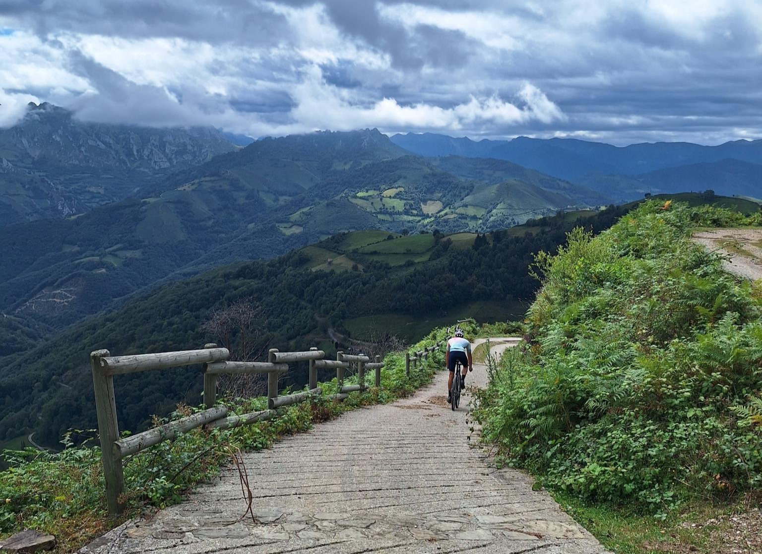
Central Mountain Cycling Ring GR 208 - Tour of the Asturian Mountains
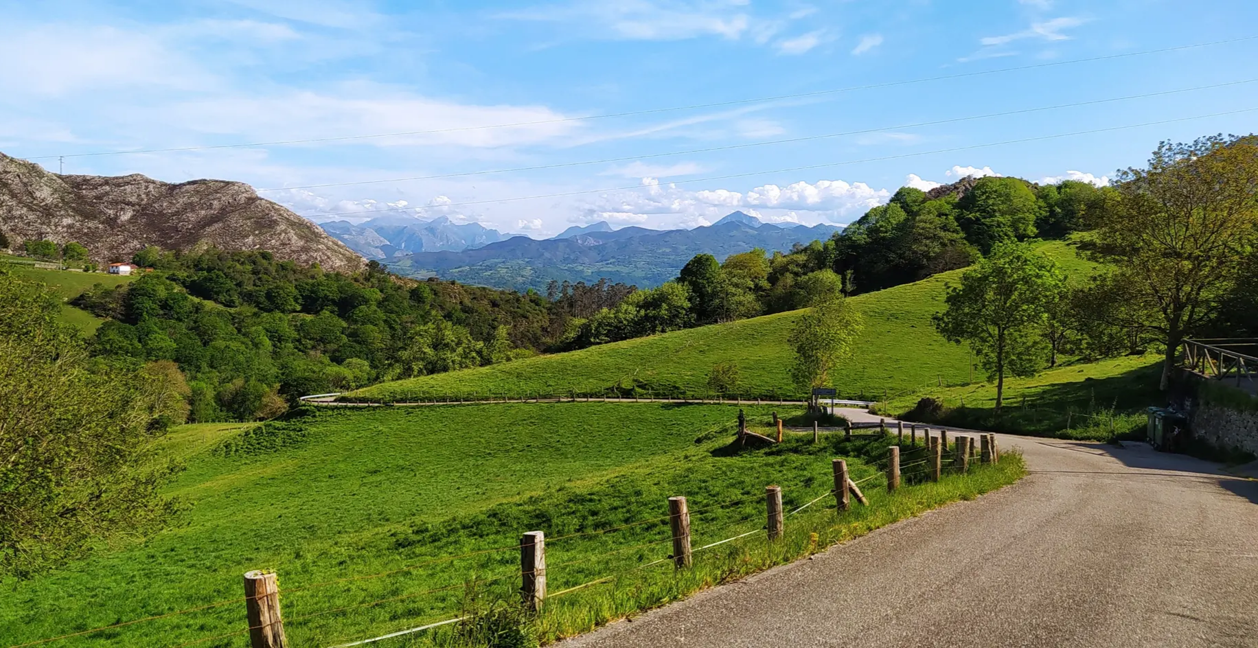
Great mountain passes of Picos de Europa on road bikes
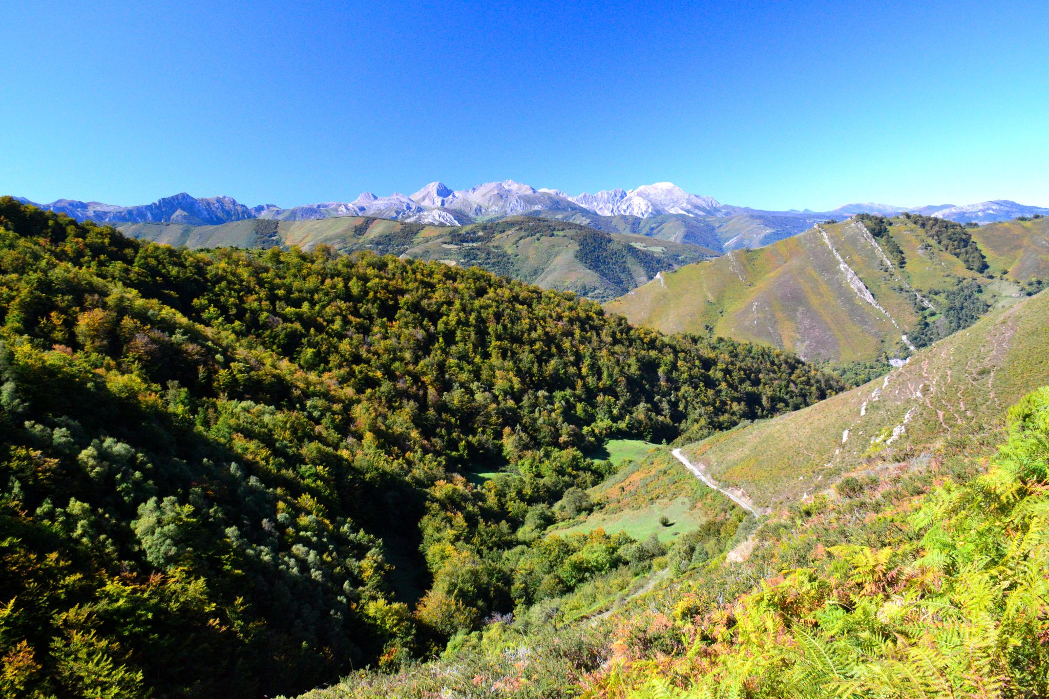
The heart of Asturias – Central Mountain Cycling Ring
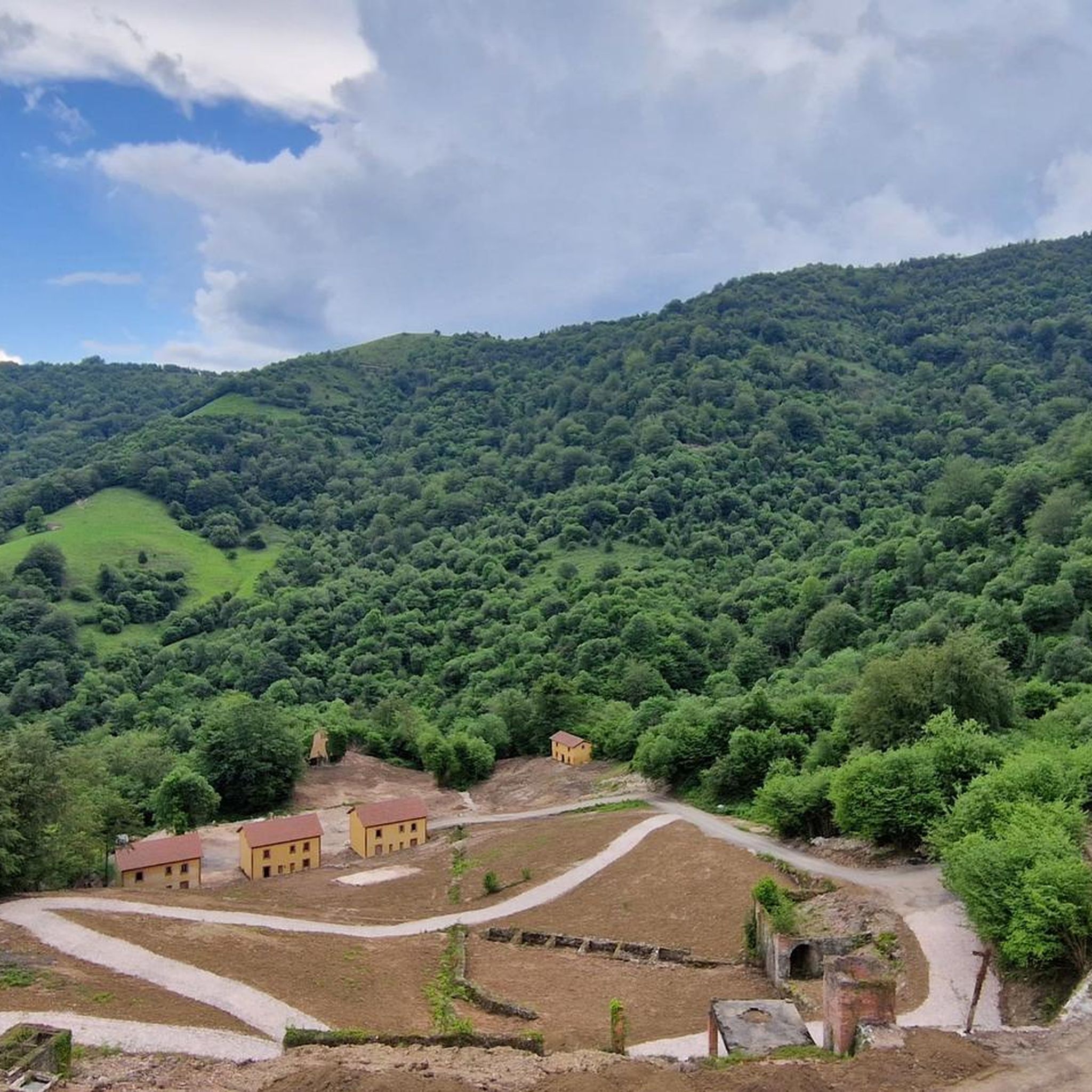
Road Cycling Routes around Riosa
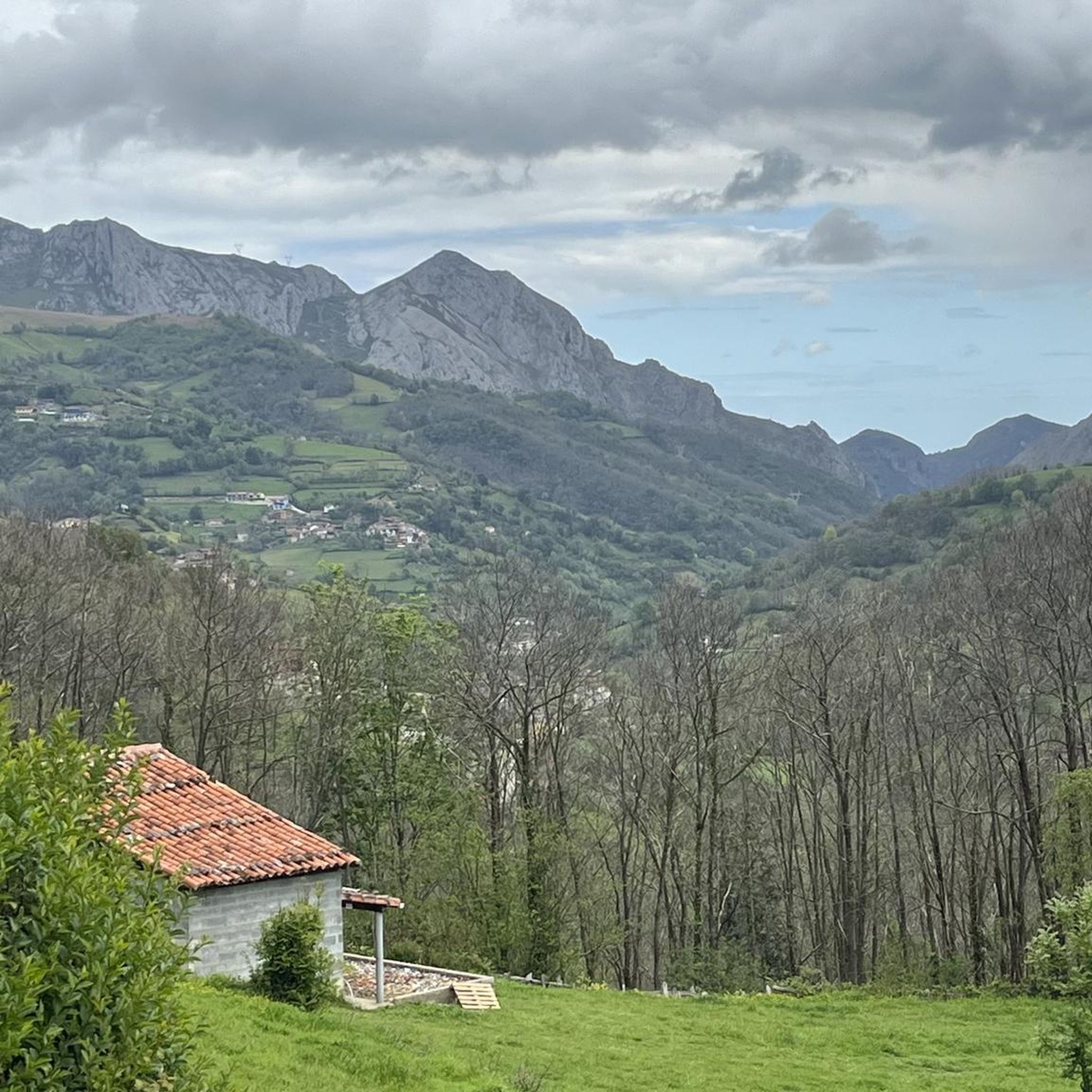
Cycling around Riosa
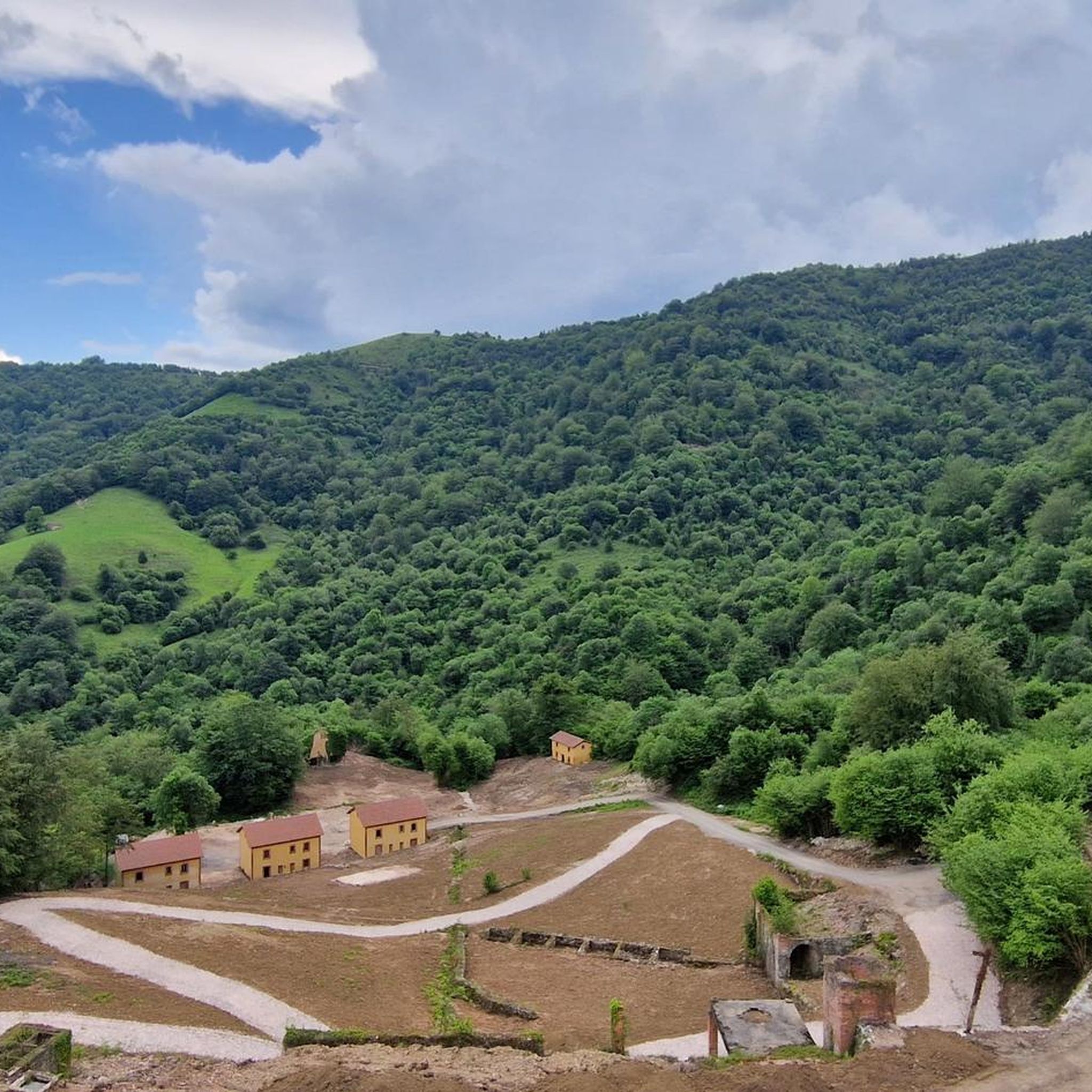
MTB Trails around Riosa

Gravel biking around Riosa
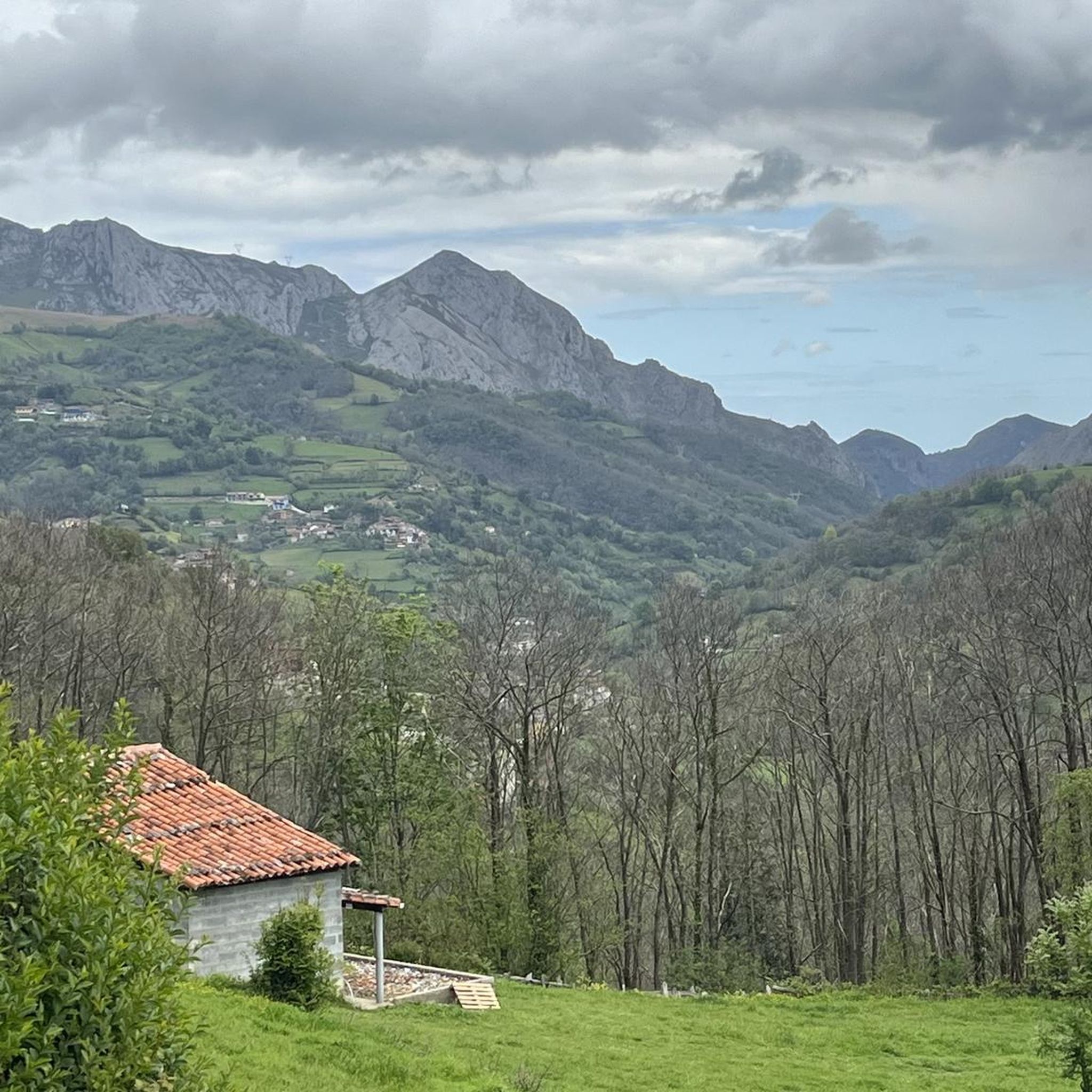
Running Trails around Riosa
Other adventures around Riosa


Tips from the Community


Magnificent views from the top of Picu Llosorio
1
0

Easy access for all ages, great views
2
1

Frequently Asked Questions
How many hiking trails are available in Riosa?
Riosa offers a wide variety of hiking opportunities, with over 100 routes available. These trails cater to different skill levels, including easy, moderate, and difficult options, ensuring there's something for everyone.
Are there any easy hiking trails suitable for beginners or families in Riosa?
Yes, Riosa has several easy trails perfect for beginners or families. For example, the Alto de La Cobertoria loop from Chanuces is an easy 4.5 km path with minimal elevation gain, offering a pleasant walk. Another accessible option is the Alto de La Cobertoria loop from Alto de la Cobertoria, which is similar in length and difficulty.
What kind of challenging hikes can I find in Riosa?
For those seeking a challenge, Riosa's mountainous terrain provides plenty of options. The region features significant elevation changes, with peaks reaching over 1,700 meters. The famous Alto de l'Angliru, known for its steep gradients, also offers formidable challenges and incredible vistas for hikers. You'll find trails with substantial ascents and descents, particularly within the Sierra del Aramo.
Are there any circular hiking routes in Riosa?
Yes, many of Riosa's trails are designed as loops, allowing you to start and end at the same point. Popular circular routes include the Majada de las Capillas – View of the Mountains loop from Santolaya, a moderate 12.3 km trail, and the shorter Majada de las Capillas – The Pass loop from Santolaya, which is 6.2 km. Another option is the Majada de las Capillas – Chapel loop from Morcín, a 6.6 km route.
Can I find hiking trails with waterfalls in Riosa?
Yes, Riosa's natural landscape includes beautiful water features. You can explore trails that lead to waterfalls, such as the Guanga Waterfalls. The region's verdant valleys and meandering rivers, like the Llamo River, also create picturesque environments where you might encounter smaller cascades.
What interesting natural attractions or landmarks can I see while hiking in Riosa?
Riosa is rich in natural and historical landmarks. You can explore the dramatic Desfiladero de Peñas Juntas on the Senda del Oso, a spectacular gorge. The region is also part of the Protected Landscape of the Aramo Mountain Range, featuring geological formations like caves and sinkholes. For panoramic views, consider reaching the El Escobín (Picayu) Summit or the View of El Angliru.
Are there any historical sites or old mines to explore on Riosa's hiking trails?
Absolutely. Riosa has a rich mining history that can be explored on its trails. You can visit the historical Mina de Texeo, an old copper and cobalt mine. Further up the mountains, even older prehistoric mines dating back to the Bronze Age offer a glimpse into the region's ancient industrial past. The ancient Roman-origin Route of the Silver (Via de la Plata) also traverses Riosa, adding a historical dimension to its hiking routes.
What do other hikers say about the trails in Riosa?
The hiking trails in Riosa are highly regarded by the komoot community, holding an impressive average rating of 4.5 stars from over 300 reviews. Hikers frequently praise the region's dramatically mountainous landscapes, the challenging yet rewarding ascents, and the diverse natural features like gorges and green valleys.
Is Riosa a good destination for wildlife spotting during a hike?
Yes, Riosa's proximity to the Parque Natural de Las Ubiñas-La Mesa, a UNESCO Biosphere Reserve, makes it an excellent area for wildlife. This extensive park is home to a diverse array of animals, including brown bears, roe deer, red deer, chamois, golden eagles, and various vultures. While hiking, you might encounter some of these species, especially in quieter, more remote areas.
What is the best time of year to go hiking in Riosa?
Riosa's mountainous climate means that spring and autumn generally offer the most pleasant hiking conditions, with milder temperatures and vibrant natural colors. Summer can be warm, especially at lower elevations, but higher trails provide cooler air. Winter hiking is possible but requires appropriate gear due to potential snow and colder temperatures, particularly on higher peaks.
Are there good parking options available near the trailheads in Riosa?
While specific parking details vary by trailhead, Riosa is generally accessible for hikers arriving by car. Many popular starting points for trails, especially those near villages or known attractions, typically offer designated parking areas. It's always advisable to check the specific route details on komoot for information on parking availability at your chosen trailhead.
Can I reach hiking trails in Riosa using public transport?
Riosa is a municipality in central Asturias, and while public transport options exist to reach the main towns, access to specific remote trailheads might be limited. Buses connect Riosa with larger towns in Asturias. For reaching the starting points of many hiking trails, a car often provides the most flexibility. However, some popular routes might have closer public transport stops; checking local bus schedules is recommended.
Most popular attractions around Riosa

Get inspired with the komoot mobile app


Explore more
Browse the best Hikes in other regions.
