The best MTB trails around Madridejos
4.9
(16)
487
riders
46
rides
Mountain bike trails around Madridejos are found in a region characterized by coastal features, agricultural landscapes, and varied terrain. While Madridejos itself is relatively flat, with a highest elevation of 115 feet (35 meters), the surrounding areas offer routes with significant elevation changes. The landscape includes rocky shores, windblown coastlines, and vital mangrove gardens. Mountain biking routes in this area can traverse these diverse environments, providing a range of experiences.
Best mountain bike trails around Madridejos
- The most popular mountain…
Last updated: July 7, 2026
3.7
(3)
2
riders
51.3km
04:16
410m
410m
Moderate mountain bike ride. Good fitness required. Advanced riding skills necessary.
5.0
(1)
2
riders
58.2km
04:34
180m
180m
This moderate 36.2-mile mountain biking route circles the tranquil Embalse Finisterre from Madridejos, offering quiet reservoir views.

Sign up for free
1
riders
37.1km
03:07
410m
410m
Explore the moderate 23.0-mile mountain biking route, El Cenicero – circular por Puerto Lápice, featuring windmills and El Cenicero Summit.
34
riders
65.3km
05:28
670m
670m
Hard mountain bike ride. Very good fitness required. Suitable for all skill levels.
5.0
(1)
15
riders
49.8km
03:42
520m
520m
Moderate mountain bike ride. Good fitness required. Suitable for all skill levels.
Get access to more routes and recommendations from other explorers.
Sign up for free
Already have an account?
Our route recommendations are based on thousands of hikes, rides, and runs completed by other people on komoot.
Start today with a free account
Your next adventure awaits.
Login or Signup
Tips from the Community

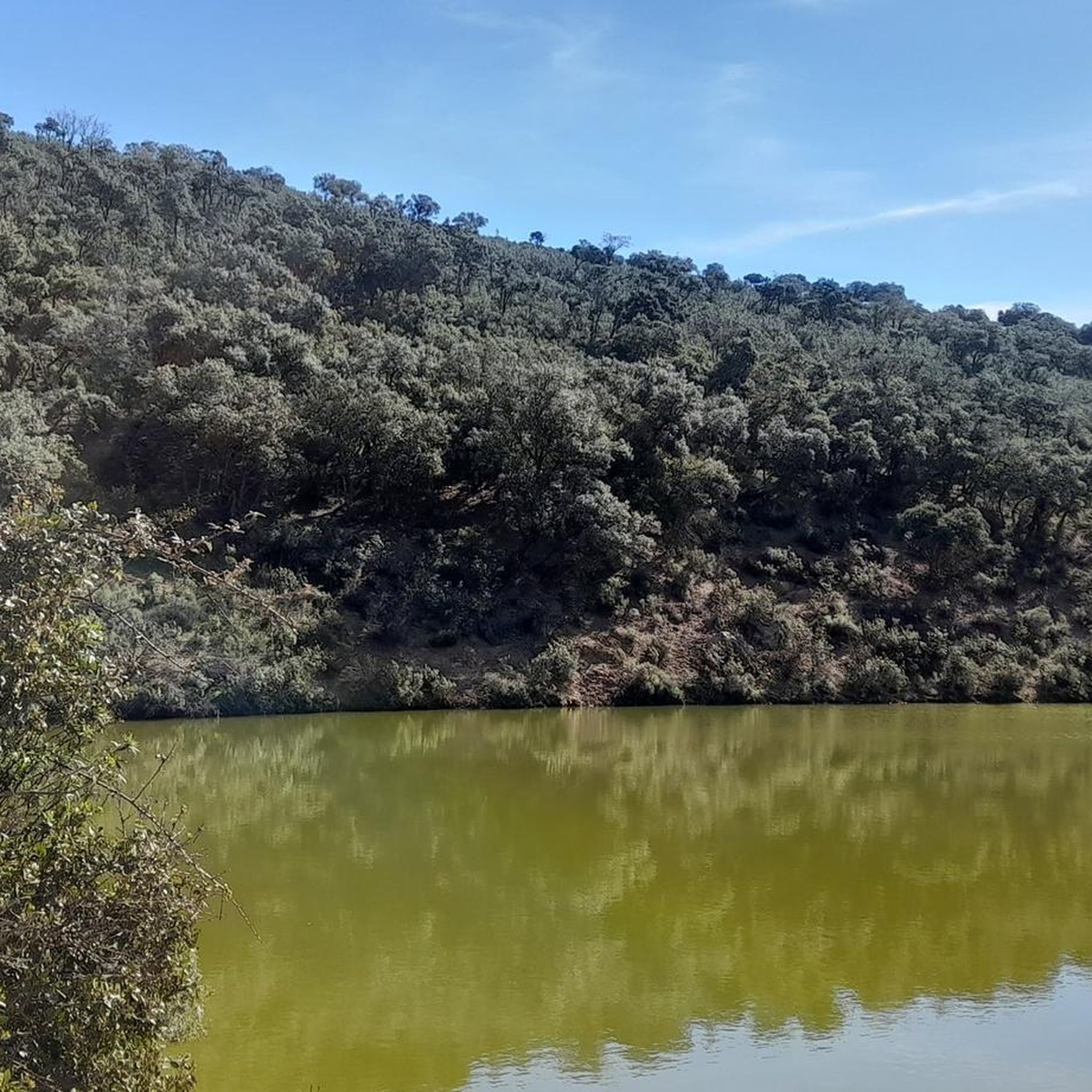
Numerous hiking and cycling routes border the reservoir: A circular route from Tembleque, crossing the Sierra de Algodor (~15 mi / 24 km), moderate difficulty, panoramic views, and picnic spots. A mountain bike route from Mora or Turleque to the shore, approximately 13–14 mi (~22 km), ideal for mountain bikes. The shoreline offers viewpoints, peninsular islands accessible in summer, and areas of Mediterranean woodland contrasting with the surrounding cereal fields.
2
0
It is located in the municipalities of Tembleque, Mora, Villanueva de Bogas, and Turleque (Toledo), about 5 km from Villanueva de Bogas, on the Algodor River, a tributary of the Tagus. Declared a Wildlife Refuge in September 2020, it boasts high biodiversity, especially of waterfowl and birds of prey.
2
0
Perfectly restored, it allows visitors to explore its walls and parade ground, as well as enter its interior, complete with furnishings and weapons, recreating the atmosphere of the period. For more information, contact the Consuegra Tourist Office at +34 925 47 57 31.
3
0

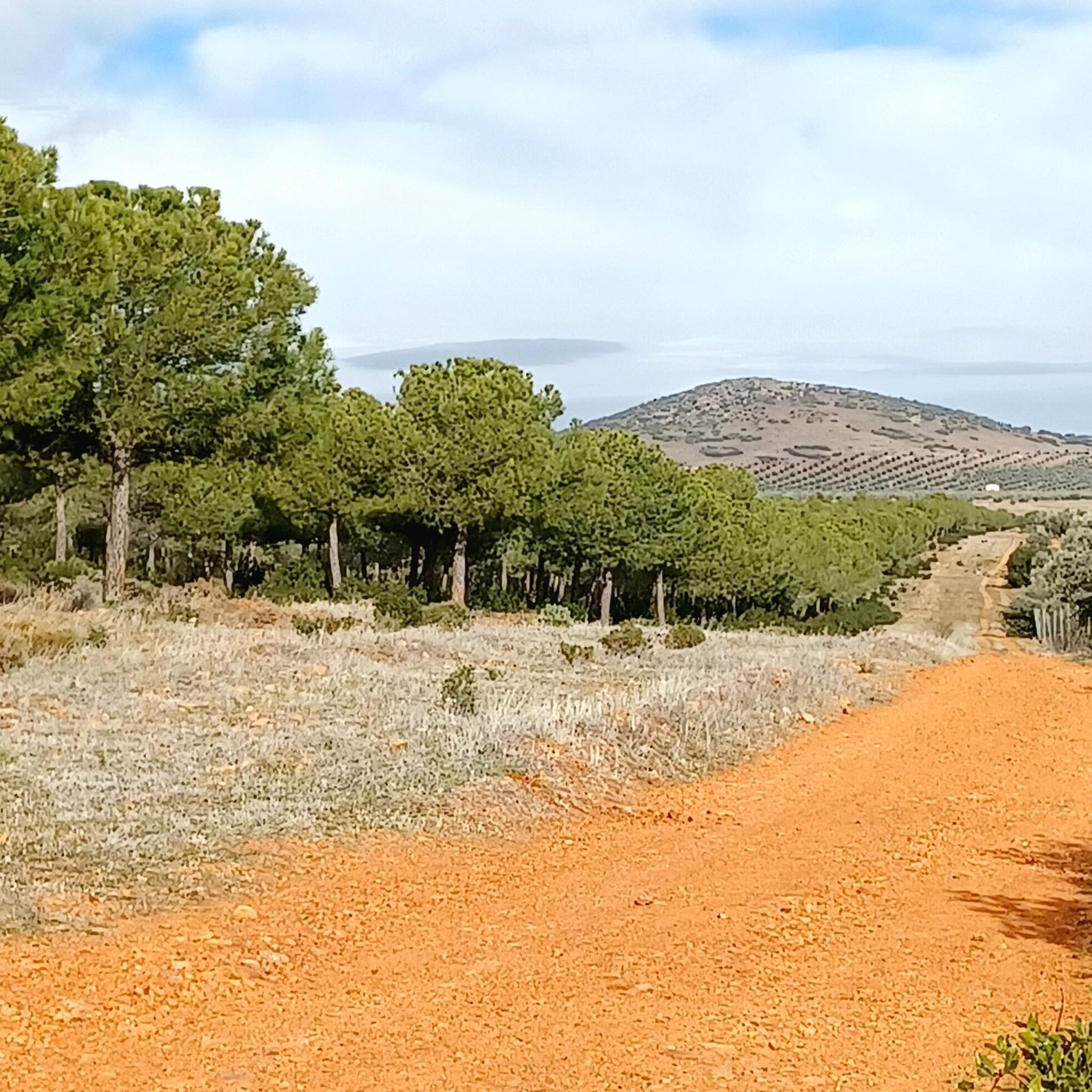
Before a nice climb and descent
0
0
Tradition tells that in 1688, two pilgrims, Juan Bautista and Manuel Terrín, stayed at a local farmhouse and, in gratitude, painted an image of the crucified Christ using colors mixed with saliva. When he asked for oil to light the image, the owner miraculously found enough oil to last 24 hours, despite claiming to have none. This event was considered miraculous and prompted the construction of the hermitage at the initiative of Francisco Rodríguez Palmero, who donated the land to the Order of Saint John.
4
0
The Hermitage of the Most Holy Christ of the Valley is located about 15 km from Tembleque, in the province of Toledo, near the Algodor River. It is a place of great devotion for the residents of Tembleque and other nearby towns.
10
0

This accommodation is located in Sierra Lengua, with capacity for 100 people and the possibility of participating in all kinds of outdoor activities. Access is via the Urda-Villarrubia de Los Ojos road.
1
0

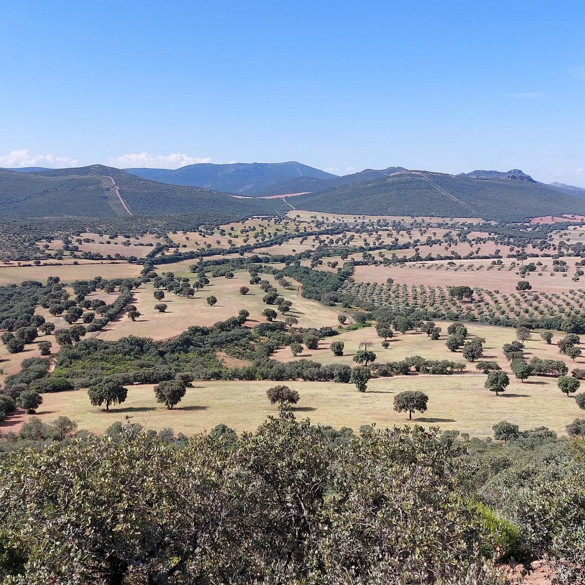
The sunrise is spectacular from the hill
1
0
Frequently Asked Questions
How many mountain bike trails are available around Madridejos?
There are over 20 mountain bike trails around Madridejos listed on komoot. These routes cater to various skill levels, with 5 easy, 16 moderate, and 2 difficult trails to explore.
Are there mountain bike trails suitable for beginners in Madridejos?
Yes, there are 5 easy mountain bike trails around Madridejos. While Madridejos itself is relatively flat, these routes are designed to be accessible for those new to mountain biking or looking for a less strenuous ride. You can find options that traverse coastal paths and agricultural fields.
What about more challenging mountain bike routes for experienced riders?
For experienced mountain bikers seeking a challenge, there are 2 difficult routes available. One such route is the Fuente del Umbrión – The Foresters' House loop from Madridejos, which covers 41.6 miles (67.0 km) and features substantial elevation gain through forested areas. Another challenging option is the Finca de Don Luis – El Molinillo Stream loop from Madridejos.
Are there any circular mountain bike routes around Madridejos?
Yes, many of the mountain bike routes around Madridejos are designed as loops. For example, the Finisterre Reservoir Loop is a moderate 36.2-mile (58.2 km) trail that offers scenic views. Another popular circular route is the Fuente del Umbrión – Despeñadero Dam loop from Jumelo.
What kind of landscapes can I expect to see while mountain biking near Madridejos?
Mountain biking around Madridejos offers a diverse range of landscapes. You can expect to traverse coastal paths, agricultural fields, and areas with notable elevation changes. The region is known for its rocky shores, windblown coastlines, and vital mangrove gardens, providing varied scenery during your ride.
What do other mountain bikers enjoy most about the trails around Madridejos?
The trails around Madridejos are highly rated by the komoot community, with an average score of 4.77 stars from over 12 reviews. Mountain bikers often praise the varied terrain, which includes coastal paths and agricultural fields, as well as the options for different ability levels.
Are there any interesting landmarks or attractions to see along the mountain bike trails?
Yes, there are several interesting landmarks and natural features you might encounter. Depending on your chosen route, you could pass by natural monuments like Calderico Hill or Fuente del Umbrión. Other attractions in the broader area include Consuegra Castle and the Puerto Lápice Windmills.
Is Madridejos a good destination for family-friendly mountain biking?
While Madridejos itself is relatively flat, making some sections suitable for families, the region is not primarily known for dedicated family-friendly mountain biking infrastructure. However, the 5 easy trails available can be a good starting point for families looking for less challenging rides through coastal and agricultural landscapes.
What is the best time of year for mountain biking in Madridejos?
Madridejos, located on Bantayan Island in the Philippines, experiences a tropical climate. The dry season, typically from December to May, generally offers more favorable conditions for mountain biking with less rain and more stable trail surfaces. However, it's always advisable to check local weather forecasts before heading out.
Are there any trails that pass by lakes or reservoirs?
Yes, some routes offer views of local water bodies. For instance, the Finisterre Reservoir Loop provides views of the Finisterre Reservoir. Additionally, highlights like Laguna Grande de Villafranca and Laguna de Peñahueca are nearby and might be incorporated into or seen from some routes.
Can I find less crowded mountain bike routes around Madridejos?
Given that Madridejos is not primarily known as a mountain biking hotspot, many of its trails are likely to be less crowded compared to more established mountain biking destinations. Exploring some of the lesser-known routes or riding during off-peak hours can further enhance a quiet experience.
Most popular attractions around Madridejos

Get inspired with the komoot mobile app


Explore more
Browse the best MTB trails in other regions.
