The best running trails around Pórtugos
5.0
(4)
294
runners
31
runs
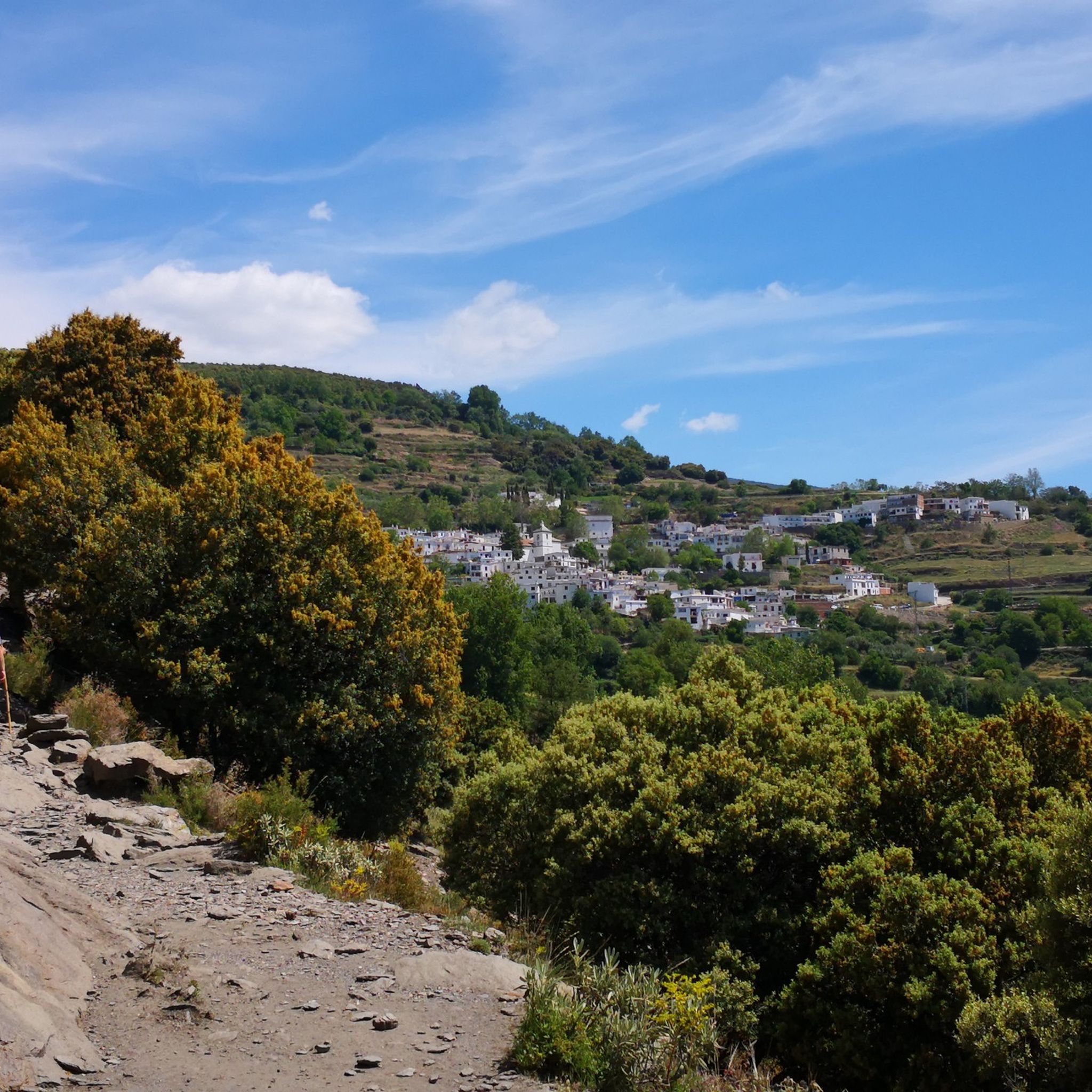
Jogging around Pórtugos offers diverse terrain within the Alpujarra Granadina region, situated in the Sierra Nevada Natural Park. The area is characterized by ravines, springs, and terraced slopes, providing varied running routes. Elevated at over 1,300 meters, Pórtugos features mountain landscapes, pine forests, and natural attractions like the Fuente de Agria, known for its distinctive orange-hued waterfall. This environment ensures a challenging and rewarding experience for runners.
Best jogging routes around Pórtugos
- The most popular jogging route is Peak Peñabón…
Last updated: July 4, 2026
7
runners
9.18km
01:28
550m
540m
Hard run. Very good fitness required. Mostly paved surfaces. Suitable for all skill levels.
1
runners
15.9km
02:25
870m
870m
Jog the difficult 9.9-mile Medieval Trail of the Alpujarra Loop, gaining 2844 feet in 2h 25m through historic villages and mountain views.

Sign up for free
6.99km
00:57
310m
310m
Jog the challenging 4.3-mile Medieval Alpujarra Trail through white villages and historic sites in Sierra Nevada National Park.
5.0
(1)
8
runners
24.1km
03:33
1,260m
1,260m
Hard run. Very good fitness required. Mostly accessible paths. Some sure footedness required.
15
runners
15.1km
02:10
790m
790m
Hard run. Very good fitness required. Mostly accessible paths. Some sure footedness required.
Get access to more routes and recommendations from other explorers.
Sign up for free
Already have an account?
Our route recommendations are based on thousands of hikes, rides, and runs completed by other people on komoot.
Start today with a free account
Your next adventure awaits.
Login or Signup

Tips from the Community

This hike is really tough: -very poorly signposted -inaccurate komoot navigation -long, constant ascent, 560 meters of altitude gain -during the ascent, you have to climb a section on scree, for me even on hands and knees -the descent goes for a long time over scree, loose slate, along a very narrow path next to the ravine -we took 8 hours for it..(got lost for a bit and had to turn back to find the right path again) -tip: look for the 'stone men', so you can still orient yourself now and then
0
0

No problem at all with the north way, really nice landscape; 1h30 in running
2
0

Trevélez, located in the Alpujarra of Granada, is one of the highest villages in Spain, with an official altitude of 1,480 meters and its upper district reaching 1,600 meters above sea level. This picturesque Andalusian village is famous for its natural surroundings, traditional architecture, and exquisite cuisine.
2
0


This beautiful path surrounded by vegetation connects Pitres with Mecina and passes through the beautiful district of Capilerilla. If you do it from Pitres to Mecina, you will go down. On the contrary, you will have to move up. Either way, it's a nice ride.
0
1
Although it is somewhat larger than neighboring Mecinilla and Fondales, Mecina is still a small village perfect for those seeking tranquility. The town hides several trails that take you to visit the rest of the towns in the La Taha region.
2
1
All the towns in the Alpujarra of Granada are beautiful, but the small village of Fondales has a special charm. A few kilometers to the north, and along very beautiful paths, you can reach the neighboring Mecina and Mecinilla.
1
1

A hiking route through the town of Medina fondales, we left the car on the road next to said town and began to go down towards an old mill located on an old Roman bridge over the Trevelez river, a fabulous descent through a small boulevard that in some times It must carry a lot of water, we can see the bridge and what remains of the mill and we go back up where we came down from this same bridge. If we wanted, we could get to Orgiva to the right and to the left to the portichuelo de castaras. the slips.
2
0
Frequently Asked Questions
How many running routes are available around Pórtugos?
Pórtugos offers a diverse network of over 30 running routes. These trails cater to various preferences, from challenging mountain runs to routes exploring traditional villages and natural features within the Sierra Nevada Natural Park.
Are there any easy or beginner-friendly jogging routes in Pórtugos?
While many routes in Pórtugos are considered difficult due to the mountainous terrain and significant elevation changes, there are 4 moderate routes available. These still offer a good workout but might be more approachable for those newer to trail running in the region.
What kind of terrain can I expect on the jogging trails in Pórtugos?
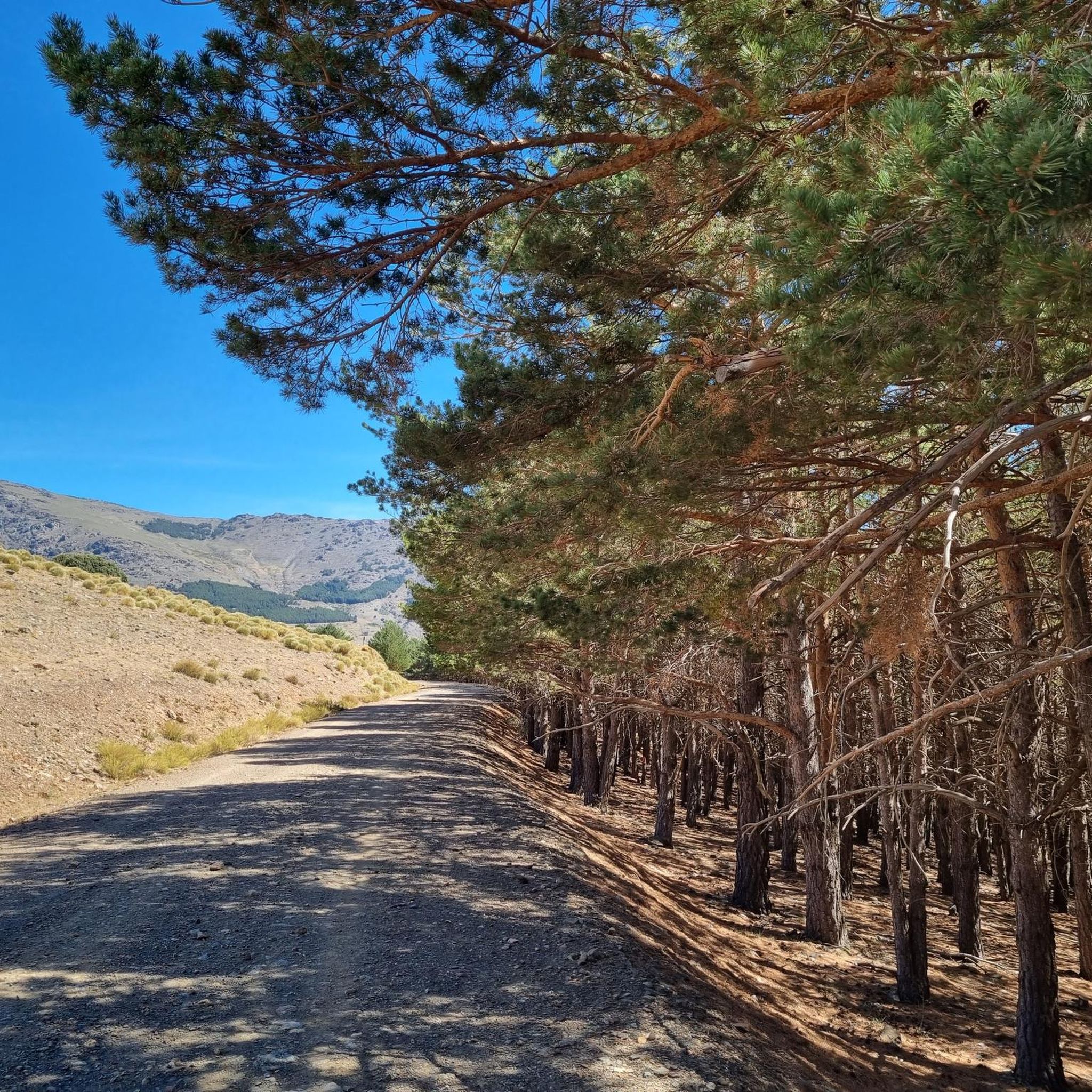
The jogging trails around Pórtugos are characterized by varied mountain terrain, including dense pine forests, dramatic ravines, and traditional terraced slopes. You'll encounter significant elevation changes, offering a challenging and rewarding experience with breathtaking vistas.
Are there any circular running routes in the area?
Yes, Pórtugos features several excellent circular running routes. A notable option is the Medieval Trail of the Alpujarra Loop, a challenging 15.9 km path that explores historical landscapes and takes approximately 2 hours 25 minutes to complete.
Can I find running routes that pass by waterfalls or other natural features?
Absolutely. The region is home to the distinctive Fuente de Agria, known for its iron-rich mineral waters and the beautiful El Chorrerón waterfall. While specific routes passing directly by it aren't listed, you can explore the nearby Waterfalls around Pórtugos guide to discover highlights like the Tajo de Cortés Waterfall or Poqueira River Waterfall, which might be incorporated into your run.
What do other runners say about the trails in Pórtugos?
The running routes in Pórtugos are highly regarded by the komoot community, boasting an average score of 5.0 stars from 4 reviews. Runners often praise the challenging mountain terrain, the stunning panoramic views, and the unique natural features like the Fuente de Agria.
Are there any historical trails suitable for jogging?
Yes, the area is rich in historical paths. The Medieval Alpujarra Trail is a fantastic option, a 7.0 km route that winds through traditional villages and offers a glimpse into the region's heritage, typically completed in about 57 minutes.
Are there any long-distance running options near Pórtugos?
For those seeking a longer challenge, some local trails connect with the GR-7 international route, offering extended possibilities for exploration. Additionally, routes like the Bubión – Public Washhouse of Ferreirola loop from Los Caballeros cover a significant distance of 45.6 km, ideal for endurance runners.
What are some notable viewpoints or natural monuments I can see while running?
The region offers spectacular viewpoints. You can explore the Natural Monuments around Pórtugos guide to find highlights such as the Tajos del Ángel Viewpoint or the Pico Veleta viewpoint, offering breathtaking mountain vistas within the Sierra Nevada.
Are the running routes in Pórtugos suitable for families?
While many routes are rated as difficult due to elevation changes, the diverse trail network means there are options for various fitness levels. Families might enjoy shorter, less strenuous sections of trails that connect villages or lead to picnic areas, allowing for a more relaxed experience amidst nature.
Is there parking available near the trailheads in Pórtugos?
Pórtugos, being a village nestled within the Sierra Nevada Natural Park, typically offers parking options within or at the edges of the village, providing access to the trail network. Specific parking details for individual trailheads may vary, but general village parking is usually available.
What is the best time of year for jogging in Pórtugos?
Given its elevation of 1303 meters, Pórtugos offers pleasant conditions for jogging during spring and autumn when temperatures are milder. Summer can be warm, especially at lower altitudes, while winter may bring colder temperatures and snow at higher elevations, requiring appropriate gear.
Most popular attractions around Pórtugos

Get inspired with the komoot mobile app


Explore more
Browse the best Running Trails & Routes in other regions.
