The best cycling routes around Réserve naturelle du Tanet-Gazon-du-Faing
4.5
(978)
15,224
riders
194
rides
Touring cycling routes around Réserve naturelle du Tanet-Gazon-du-Faing traverse a mountainous setting on the Grande Crête des Vosges, featuring high moors, peat bogs, and mountain forests. The terrain includes a high stubble plateau between 1,200 and 1,300 meters above sea level, where strong winds shape the vegetation. Granite rock formations are present along the ridge, and the forests consist of beech, fir, and spruce. This region offers varied landscapes for touring cyclists.
Best touring cycling routes around Réserve naturelle du…
Last updated: July 15, 2026
31
riders
21.3km
02:03
650m
650m
Hard bike ride. Very good fitness required. You may need to push your bike for some segments of this route.
6
riders
Moderate bike ride. Good fitness required. Mostly paved surfaces. Suitable for all skill levels.

Sign up for free
4.7
(3)
14
riders
23.7km
01:58
690m
690m
Hard bike ride. Very good fitness required. Mostly paved surfaces. Suitable for all skill levels.
4.8
(8)
150
riders
40.3km
02:52
840m
840m
Hard bike ride. Very good fitness required. Mostly paved surfaces. Suitable for all skill levels.
5.0
(2)
51
riders
60.2km
03:55
820m
820m
Hard bike ride. Very good fitness required. Mostly paved surfaces. Suitable for all skill levels.
Get access to more routes and recommendations from other explorers.
Sign up for free
Already have an account?
Our route recommendations are based on thousands of hikes, rides, and runs completed by other people on komoot.
Start today with a free account
Your next adventure awaits.
Login or Signup
Popular around Réserve naturelle du Tanet-Gazon-du-Faing
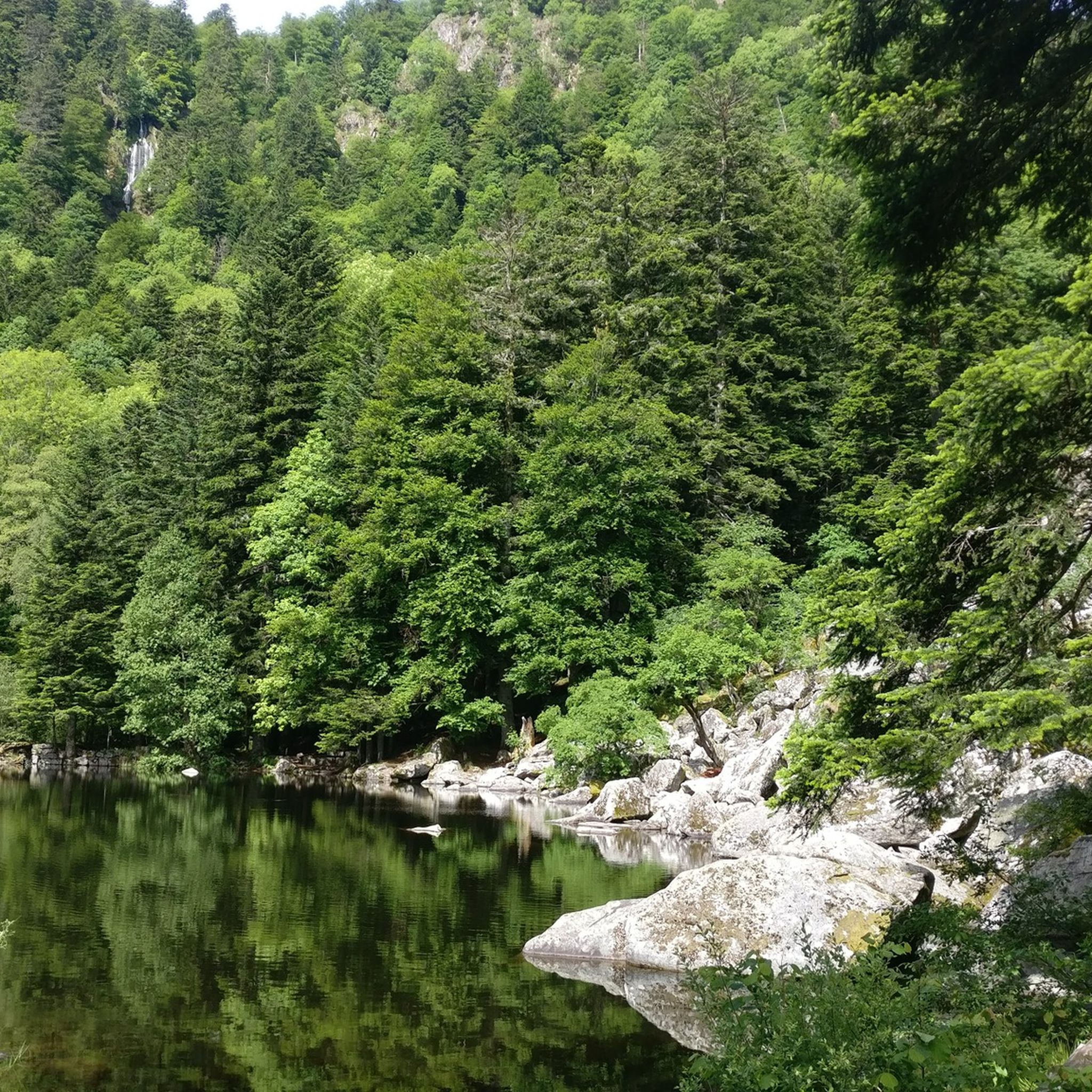
Hiking around Réserve naturelle du Tanet-Gazon-du-Faing
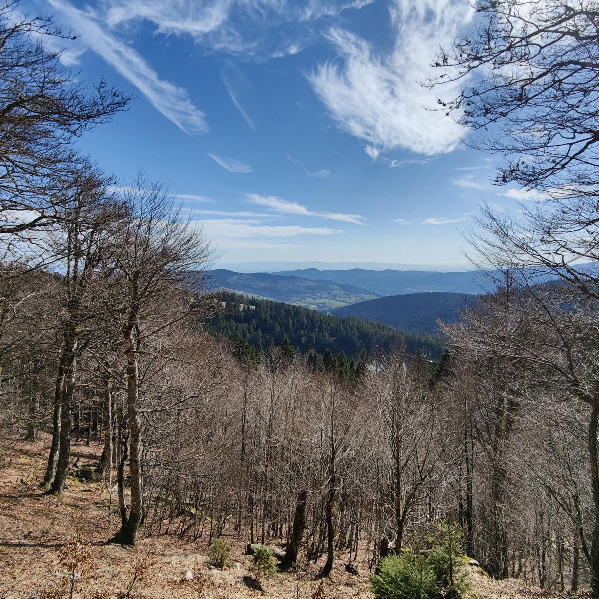
Road Cycling Routes around Réserve naturelle du Tanet-Gazon-du-Faing
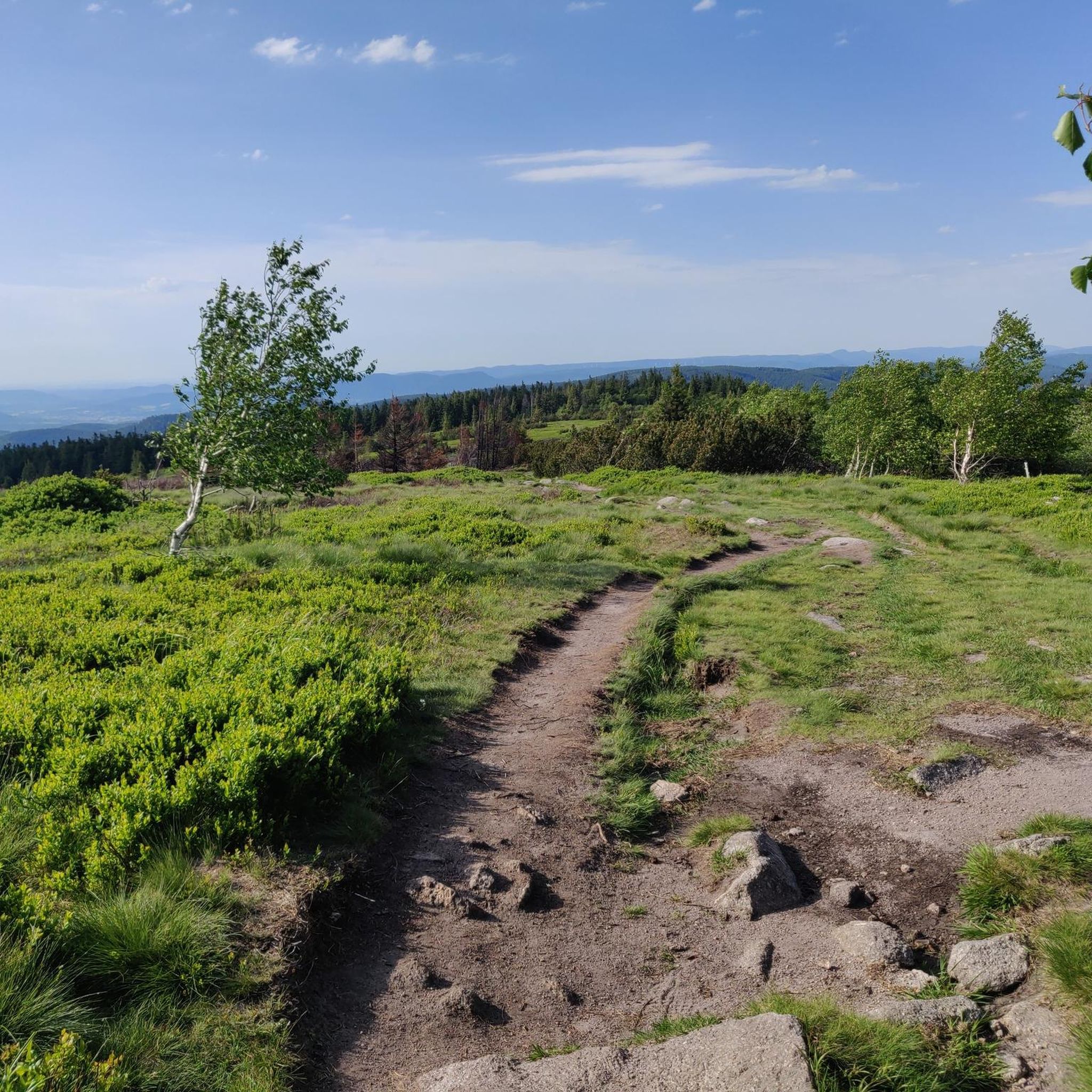
MTB Trails around Réserve naturelle du Tanet-Gazon-du-Faing
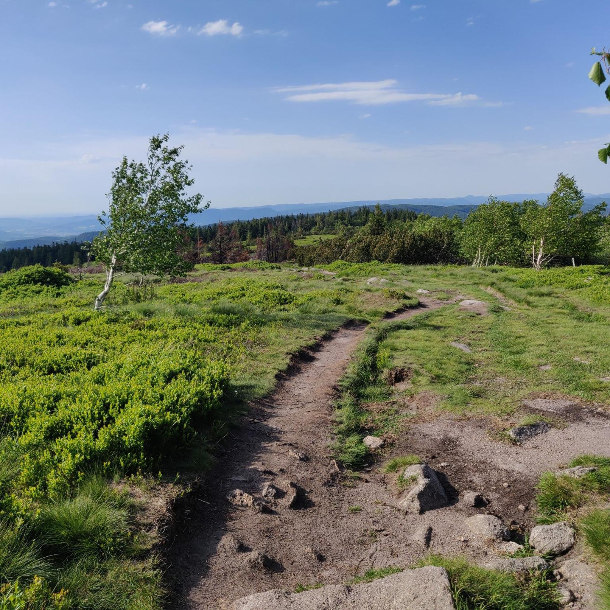
Running Trails around Réserve naturelle du Tanet-Gazon-du-Faing
Mountain Hikes around Réserve naturelle du Tanet-Gazon-du-Faing

Gravel biking around Réserve naturelle du Tanet-Gazon-du-Faing
Tips from the Community

It's always so nice. Beautiful view on both sides, not much traffic that day.
0
0

Beautiful climb that winds up in several switchbacks with a very moderate gradient. Train a little for everyone, easy to do!👍
0
0

If it's open, take a look inside.. the view is worth it
6
0

Once you reach the top of the pass, you have the opportunity to offer a prayer of thanks.
3
0

very rocky and bumpy, slippery when wet
0
0

The Cimetière Militaire Français du Wettstein, located on the Col du Wettstein near Orbey, is an impressive French military cemetery from the First World War. It contains the remains of 3,535 French soldiers, mainly chasseurs alpins, who died during the fierce fighting at Le Linge in 1915. Many of them are buried in two ossuaries. The site is marked by a monumental cross with the inscription "PAX" and a bronze statue of a dying soldier, which gives the whole a subdued and poignant atmosphere. This necropolis, also known as the "cemetery of the chasseurs", is a silent witness to the horrors of war and a place of reflection in the middle of the mountain landscape.
7
0
Picnic area overlooking Orbey – On the road to Lac Blanc, this peaceful picnic area has tables and stunning views over the Orbey valley. Ideal for a snack break on a trip from the village to the lake.
8
0
The Col du Calvaire (1144 m) is a mountain pass in the Vosges that connects Le Valtin to Orbey in Alsace. Situated on the Route des Crêtes, between the Col du Bonhomme and the Col de la Schlucht, this pass offers magnificent views of Lac Blanc and the surrounding peaks. The name refers to an old Calvary that once stood above the lake. During the First World War, the German front line ran along this pass, which also gives the place a historical charge. In winter, the pass is part of the Lac Blanc ski area and is partly closed to traffic.
7
0
Frequently Asked Questions
How many touring cycling routes are available in Réserve naturelle du Tanet-Gazon-du-Faing?
There are over 160 touring cycling routes in the Réserve naturelle du Tanet-Gazon-du-Faing area. This includes a wide range of options, with more than 15 easy routes, over 30 moderate routes, and more than 115 difficult routes, ensuring choices for various skill levels.
What kind of terrain can I expect on touring cycling routes in Réserve naturelle du Tanet-Gazon-du-Faing?
The terrain in Réserve naturelle du Tanet-Gazon-du-Faing is characterized by its mountainous setting on the Grande Crête des Vosges. Cyclists will encounter high moors, peat bogs, and mountain forests. Expect a high stubble plateau between 1,200 and 1,300 meters above sea level, where strong winds shape the vegetation. Unique granite rock formations, known as chaos, are also scattered along the ridge.
What is the best time of year for touring cycling in the Réserve naturelle du Tanet-Gazon-du-Faing?
The higher altitude of the Réserve naturelle du Tanet-Gazon-du-Faing ensures cooler temperatures during the summer months, making it a comfortable and inviting location for touring cycling. While specific winter conditions can vary, the summer offers ideal weather for exploring the diverse landscapes.
Are there touring cycling routes suitable for beginners or those looking for an easier ride?
Yes, the region offers options for all abilities. There are more than 15 easy touring cycling routes available in Réserve naturelle du Tanet-Gazon-du-Faing, perfect for beginners or those seeking a more relaxed ride.
Are there challenging touring cycling routes for experienced cyclists?
Absolutely. For experienced cyclists seeking a challenge, there are over 115 difficult touring cycling routes in the Réserve naturelle du Tanet-Gazon-du-Faing. An example is the Lac Blanc – Wettstein Pass 880 m loop from Rocher Hans, which covers 38.3 km with significant elevation gain.
What natural features or landmarks can I see while cycling in the Réserve naturelle du Tanet-Gazon-du-Faing?
While cycling, you can explore significant natural features such as the high moors (hautes-chaumes) and peat bogs (tourbières) that give the reserve its unique character. You might also encounter granite rock formations and mountain forests. Notable landmarks include the Tanet–Gazon du Faing Nature Reserve itself, the Gazon du Faing summit, and the Le Tanet Summit.
Are there specific viewpoints accessible from touring cycling routes?
Yes, the region offers several stunning viewpoints. The Taubenklangfelsen Viewpoint is a notable spot, offering panoramic vistas. From the higher elevations, you can often see the cliffs overlooking Alsace, and on clear days, even the Bernese Alps from the summit of Le Tanet.
What do other touring cyclists say about their experience in Réserve naturelle du Tanet-Gazon-du-Faing?
The touring cycling routes in Réserve naturelle du Tanet-Gazon-du-Faing are highly rated by the komoot community, with an average score of 4.5 stars from over 800 reviews. Cyclists often praise the diverse scenery, from high moors to mountain forests, and the challenging yet rewarding climbs.
Are there any circular touring cycling routes in the area?
Yes, many routes in the region are designed as loops, allowing you to start and end at the same point. An example is the Loop of the two lakes — Parc Naturel Régional des Ballons des Vosges, a difficult 23.7 km path offering diverse scenery.
Can I find routes that pass through the Parc Naturel Régional des Ballons des Vosges?
Yes, several touring cycling routes extend into or offer views of the Parc Naturel Régional des Ballons des Vosges. The Loop of the two lakes — Parc Naturel Régional des Ballons des Vosges is a prime example, showcasing the diverse landscapes of the regional natural park.
Are there any routes that include notable passes in the Vosges mountains?
Yes, the region is known for its mountain passes. The Col du Bonhomme – Bagenelles Pass loop from Rocher Hans is a popular 58.0 km route that takes you through the Vosges mountains, including these significant passes.
What is the typical duration for a touring cycling route in this area?
Route durations vary significantly based on distance and difficulty. For example, the Chemin rural du blancrupt – Calvary Pass loop from Lac Blanc, a difficult 21.3 km route, typically takes about 2 hours 2 minutes. Longer routes like the La route des crêtes – Col de la Schlucht loop from Lac Blanc, at 62.3 km, can take around 4 hours 4 minutes.
Most popular routes around Réserve naturelle du Tanet-Gazon-du-Faing
Most popular attractions around Réserve naturelle du Tanet-Gazon-du-Faing

Get inspired with the komoot mobile app


Explore more
Browse the best Cycling routes in other regions.
