The best running trails around Benifallet
4.6
(7)
952
runners
84
runs
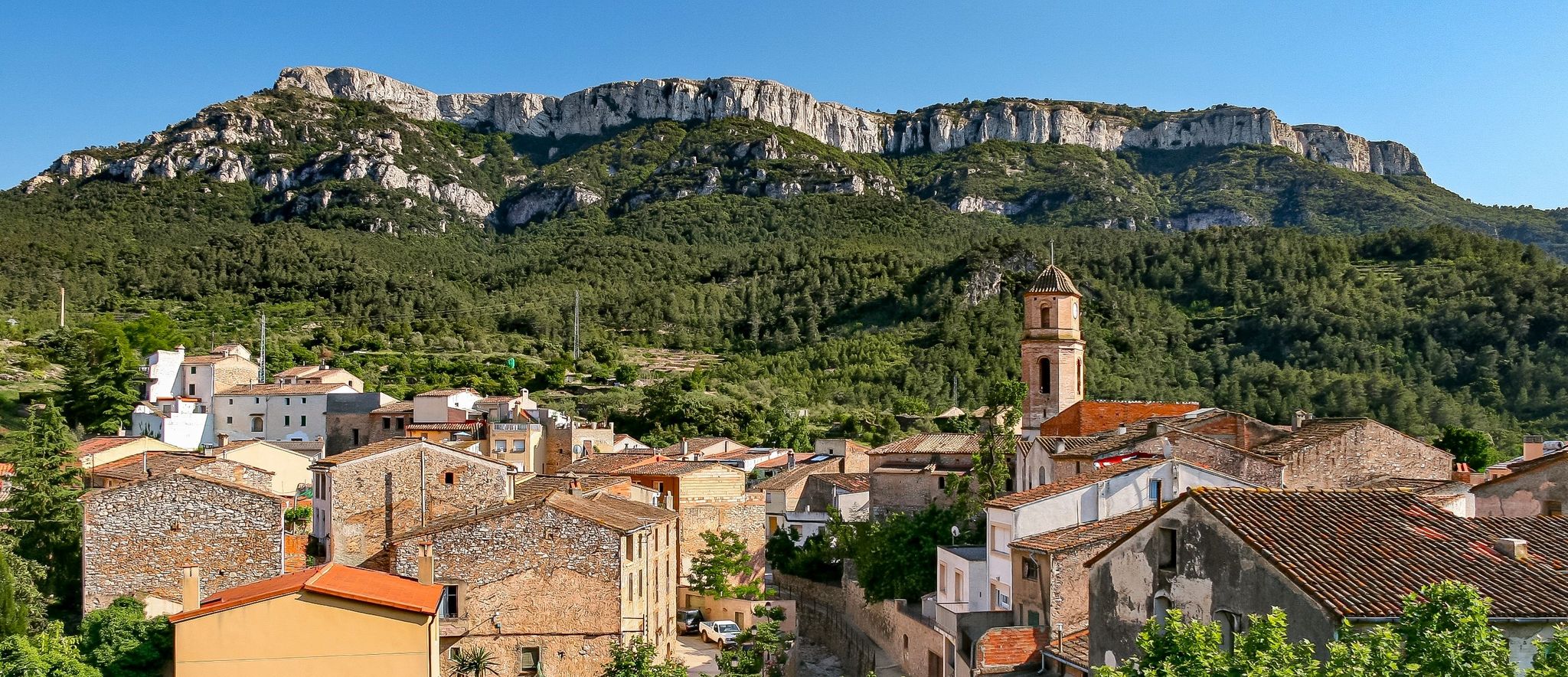
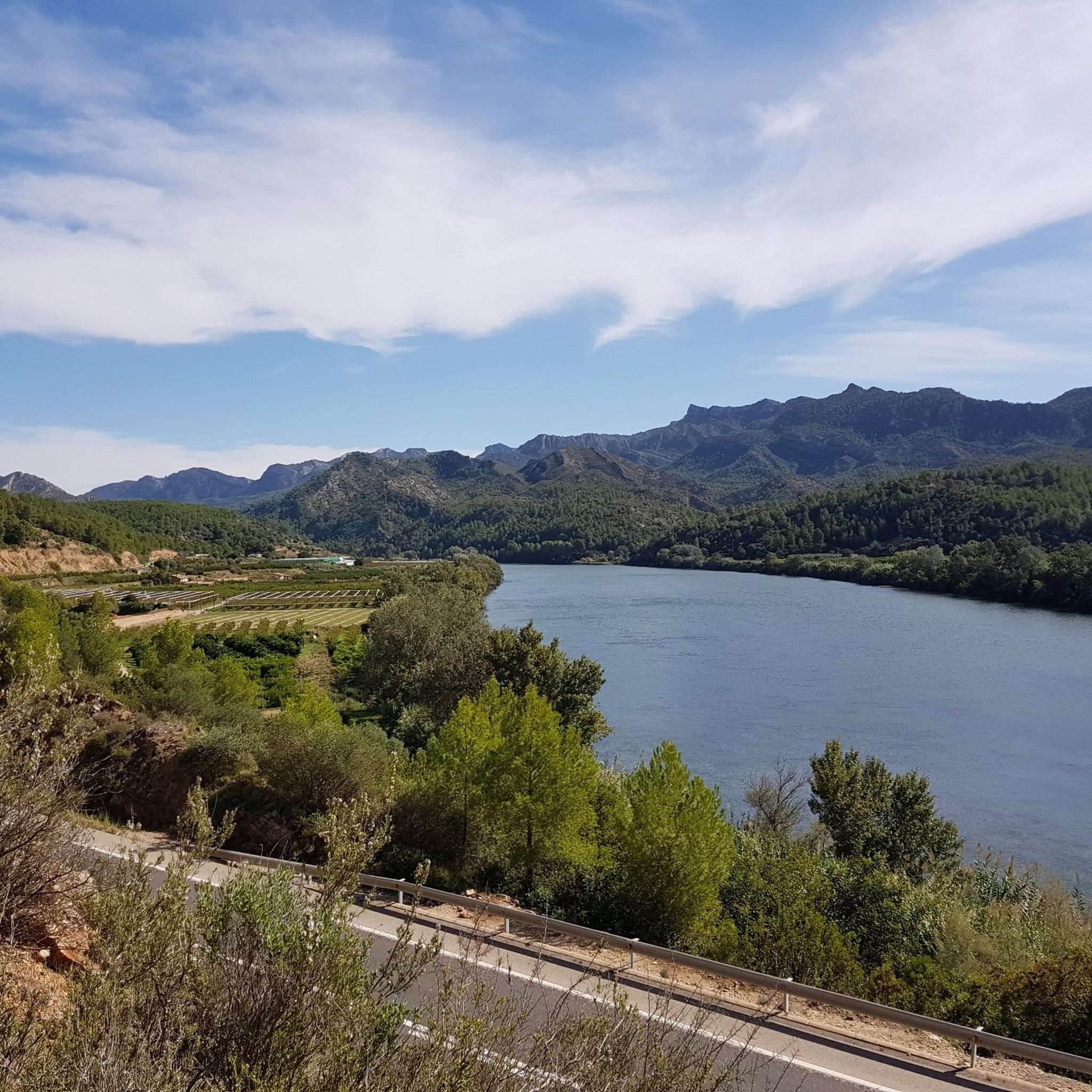
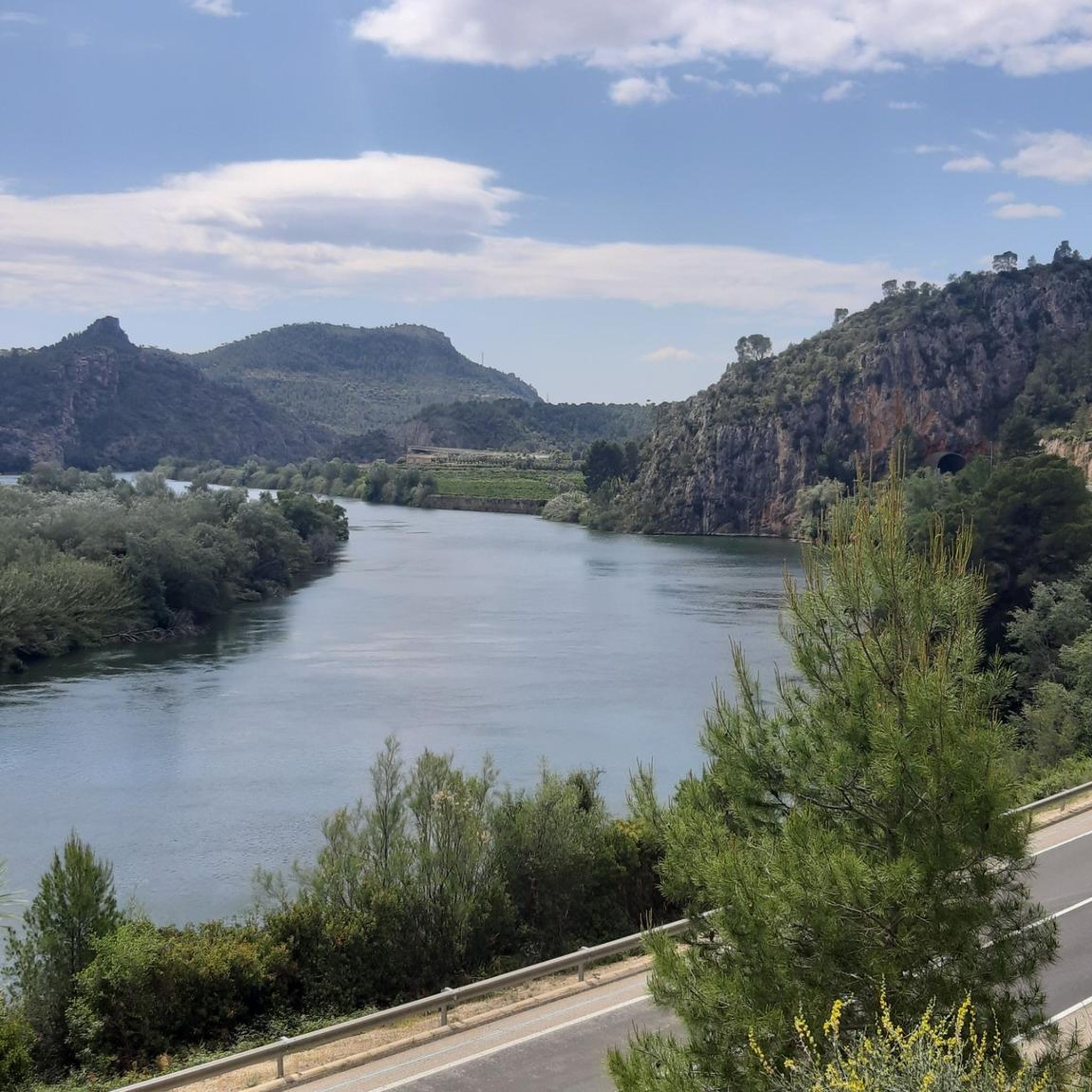
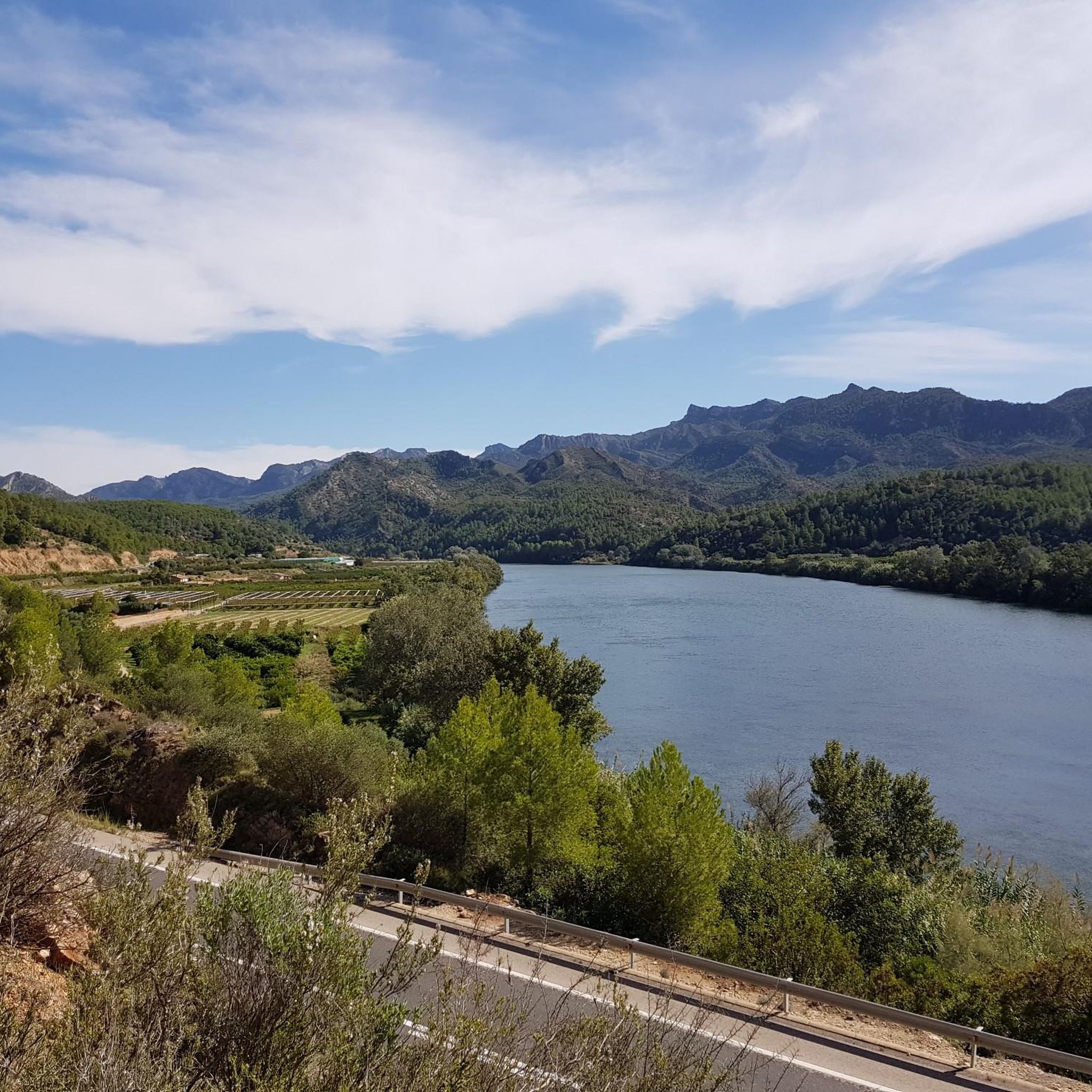
Jogging around Benifallet offers diverse natural landscapes for runners, situated in the northern tip of the Baix Ebre region. The area is characterized by the Ebro River, which provides serene riverside paths, and the mountainous terrain of the Serra de Cardó, part of the Terres de l'Ebre Biosphere Reserve. Runners can explore the Via Verda, a converted railway line offering routes through vineyards and olive fields, or venture into the green mountains and forests. This varied topography provides a range…
Last updated: June 28, 2026
3
runners
19.8km
02:53
860m
850m
Hard run. Very good fitness required. Mostly paved surfaces. Suitable for all skill levels.
37
runners
19.0km
02:42
710m
710m
Hard run. Very good fitness required. Mostly paved surfaces. Suitable for all skill levels.

Sign up for free
44
runners
18.0km
02:31
550m
550m
Hard run. Very good fitness required. Sure-footedness, sturdy shoes and alpine experience required.
29
runners
17.9km
02:33
710m
710m
Hard run. Very good fitness required. Mostly paved surfaces. Suitable for all skill levels.
23
runners
28.4km
04:27
1,450m
1,450m
Hard run. Very good fitness required. Sure-footedness, sturdy shoes and alpine experience required.
Get access to more routes and recommendations from other explorers.
Sign up for free
Already have an account?
Our route recommendations are based on thousands of hikes, rides, and runs completed by other people on komoot.
Start today with a free account
Your next adventure awaits.
Login or Signup

Other adventures around Benifallet

Tips from the Community

A little further on the path becomes much more difficult with continuous ups and downs with many stones and broken terrain, you can only pass by pushing the bike and lifting it, I do not recommend it in any case with a bike and even less with panniers, keep this in mind
0
0

A beautiful route that runs almost entirely along trails and beautiful natural spaces, offering magnificent views from the top of Xàquera or the Creu de Santos.
2
0

The trail offers stunning views of the Puertos de Beceite and Montsant mountains. It's an ideal hike for a sunny or windy day and is known for its scenic beauty and historical significance.
5
0


Spectacular balma that pierces the ridge and was once arranged as a key access point to the valley. The dry stone zigzags the ridge to comfortably access from one side of the ridge to the other. Known since ancient times as Lluminosa to differentiate it from the relatively nearby cave which, being a closed gallery, is known as Llòbrega. Cited by Faura in his Collection (1909) and by Ferraté in Speleologia de les comarques Tarragona (1918), although neither gives more information than the name. We are not aware of any specific cataloging work, although it is well known by hikers. When the Mestral winds blow, which is quite common, the force of the wind increases dramatically as it passes through the Cave.
2
0

It's a very beautiful peak with fantastic views
2
1

Leaving Miravet along the natural path of the Ebro there is a cobbled section that gives it a touch of authenticity when passing through traditional paths.
0
0
500 m high mountain straddling the ridge that runs from SW to NE from Les Llacunas to Rasquera, with Mola de la Llacuna (645m), Punta de Terracuques (568m) as the main peaks. At its summit we find a geodesic vertex as well as the remains of what was Lister's observatory in the Ebro campaign in the war to defend the Republic. Peak included in the list of 100 peaks of the F.E.E.C. https://www.feec.cat/activitats/100-cims/cim/coll-de-pins/
1
0
Frequently Asked Questions
How many running routes are available around Benifallet?
Benifallet offers a wide variety of running experiences, with over 70 routes documented on komoot. These range from easy riverside paths to challenging mountain ascents, catering to all fitness levels.
Are there any easy or beginner-friendly jogging routes in Benifallet?
Yes, while many routes are challenging, there is at least one easy route available. The region's Via Verda de la Terra Alta, a converted railway line, offers flat, scenic sections ideal for a relaxed jog, passing through vineyards and olive groves.
What are some popular circular running routes in the Benifallet area?
Several excellent circular routes are popular among runners. These include the challenging Los Martells & Cardo Boix - Circular route from Rasquera, which covers 12.3 miles through the Cardó mountain range, and the Punta Alta loop from el Pinell de Brai, offering varied terrain and views.
What kind of natural features can I expect to see while running in Benifallet?
Benifallet's running routes showcase diverse natural beauty. You'll encounter the serene Ebro River, the lush forests and mountains of the Serra de Cardó (part of the Terres de l'Ebre Biosphere Reserve), and geological wonders like the Coves Meravelles. The Val de Zafán Greenway also offers views of vineyards and olive fields.
Are there any historical landmarks or points of interest along the running trails?
Absolutely! The region is rich in history. You can run past the historic Miravet Castle, explore sections of the Via Verde de la Terra Alta which features an old railway viaduct, and even discover the historic Cardó Spa.
What is the best time of year to go jogging in Benifallet?
The most pleasant times for outdoor activities like jogging in Benifallet are spring and autumn. During these seasons, temperatures are ideal, making for comfortable conditions to explore the diverse landscapes.
Are there any routes that offer significant elevation gain for a challenging run?
Yes, Benifallet is known for its challenging mountain trails. Routes like the Los Martells & Cardo Boix - Circular route from Rasquera feature significant elevation gain, climbing over 850 meters. The Cova Lluminosa loop from Benifallet is another demanding option with over 1400 meters of ascent.
Can I find viewpoints with scenic vistas on the running trails?
Many trails in the Serra de Cardó and surrounding areas offer breathtaking views. For instance, the View of the Ebro Valley from Coll de Miravet provides a stunning panorama of the river and its surroundings, perfect for a mid-run break.
Are there any cafes or places to rest near the running routes?
Yes, especially along the popular Via Verde de la Terra Alta. You can find spots like the Bot Station Bar (Railbus), which offers a convenient stop for refreshments directly on the greenway.
What do other runners enjoy most about jogging in Benifallet?
Runners frequently praise the region's diverse terrain, from the tranquil Ebro River banks to the challenging mountain trails of the Serra de Cardó. The well-maintained Via Verda is also a highlight, offering scenic and accessible paths. Over 900 runners have explored Benifallet's routes using komoot.
Are the running routes in Benifallet suitable for families?
While some routes are challenging, the Via Verda is generally very suitable for families due to its flat, well-maintained surface. It's a great option for a leisurely run or walk with children, offering beautiful scenery without significant difficulty.
What is the typical length of a running trail in Benifallet?
The running trails around Benifallet vary significantly in length. Many of the more popular routes, especially those in the difficult category, range from 11 to 17 miles (18 to 27 km), such as the Punta Redona – La Carbassa loop from el Pinell de Brai at 11.2 miles.
Most popular routes around Benifallet
Most popular attractions around Benifallet

Get inspired with the komoot mobile app


Explore more
Browse the best Running Trails & Routes in other regions.
