The best walks and hikes around Navacarros
4.6
(166)
974
hikers
88
hikes
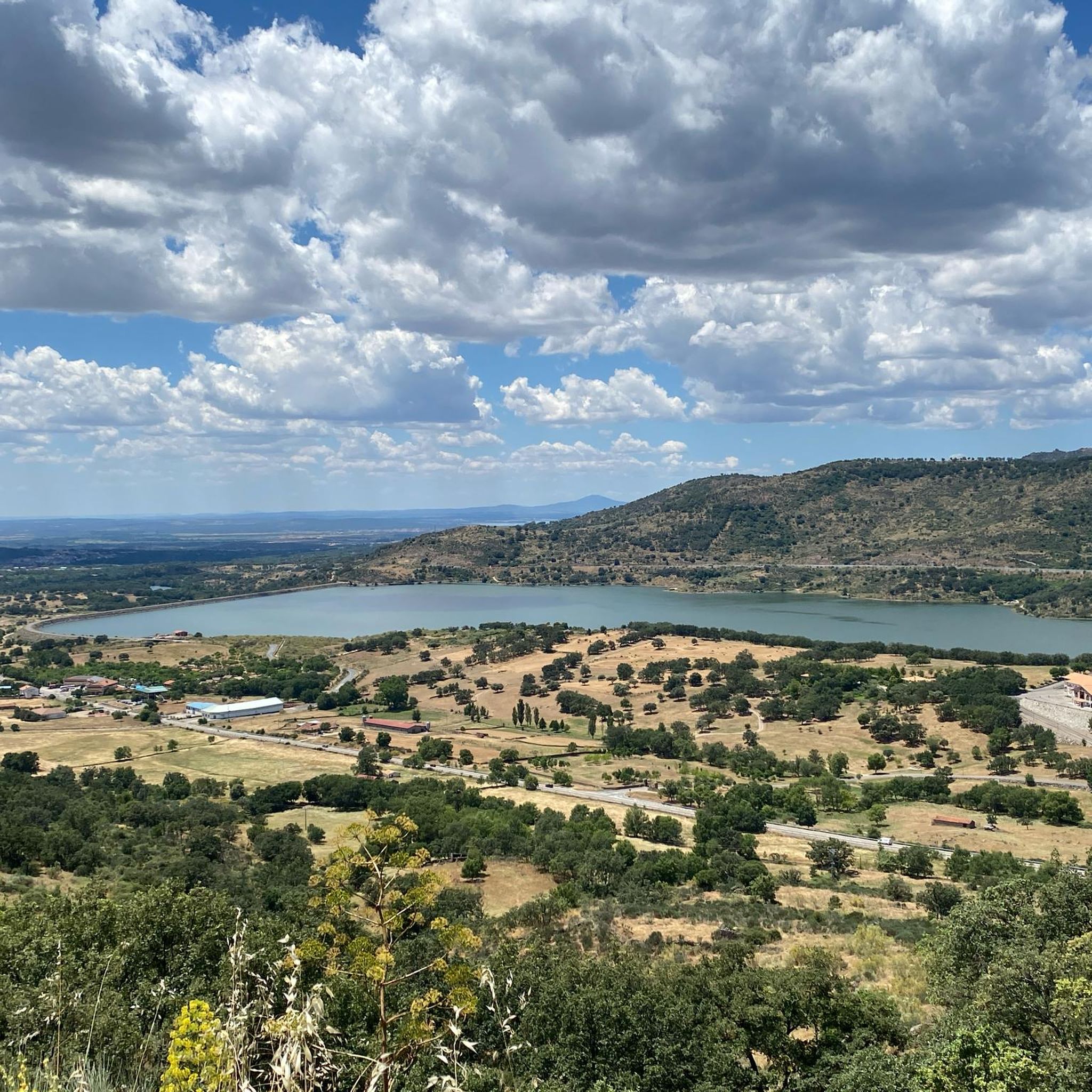
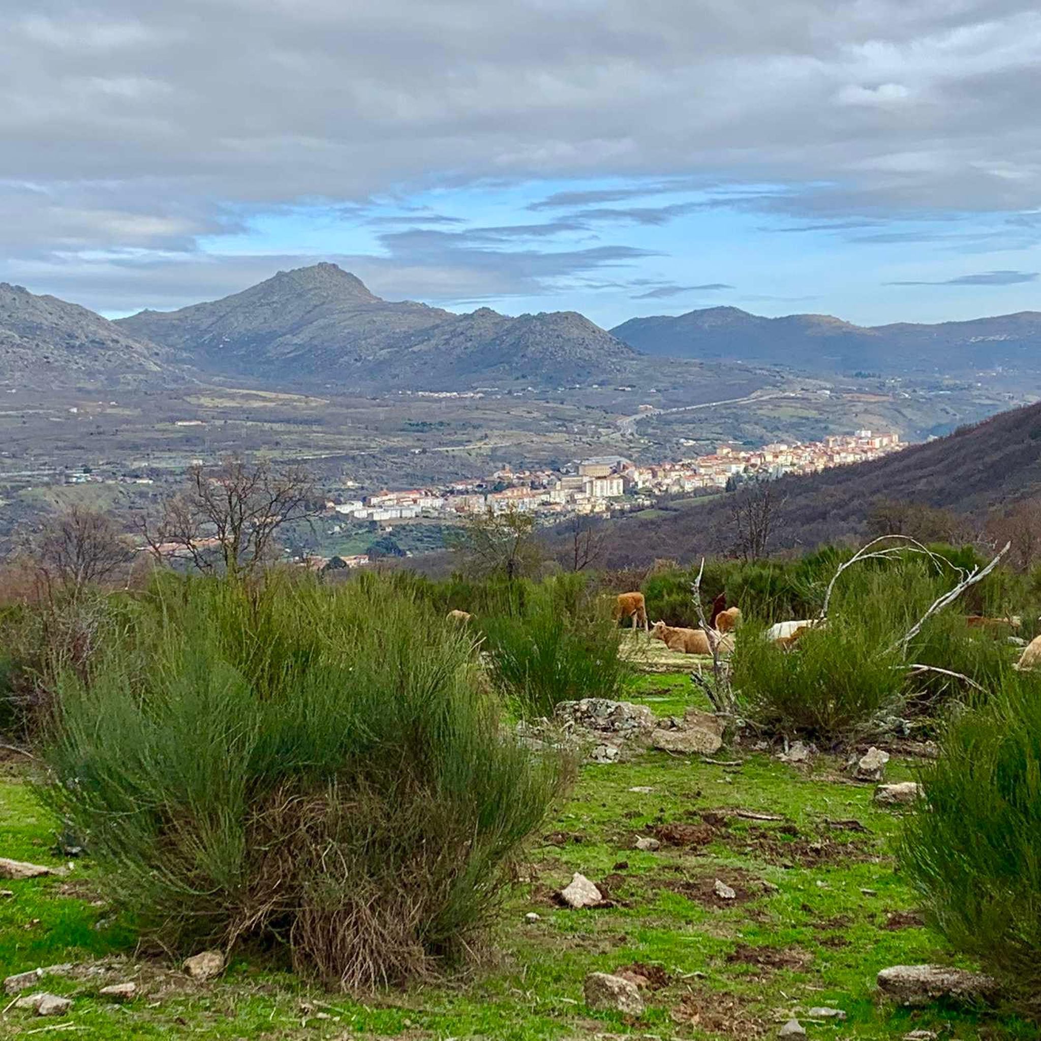
Hiking around Navacarros offers diverse landscapes within the province of Ávila, characterized by mountainous terrain and striking rock formations. The region features dense pine forests and areas with chestnut trees, particularly along trails like the Camino de las Cascadas. These natural features provide varied environments for outdoor activities, from gentle walks to more challenging ascents.
Best hiking trails around Navacarros
- The most popular hiking route is Canchal Negro Loop from La Covatilla, a 5.4 miles (8.7 km) trail that…
Last updated: July 7, 2026
5.0
(1)
5
hikers
8.74km
03:50
510m
510m
Hike the moderate 5.4-mile Canchal Negro circular route from La Covatilla, gaining 1684 feet for panoramic views and a lunar landscape.
5.0
(1)
1
hikers
Hard hike. Great for any fitness level. Sure-footedness, sturdy shoes and alpine experience required.

Sign up for free
4.2
(6)
31
hikers
19.0km
05:55
710m
710m
Hard hike. Very good fitness required. Mostly accessible paths. Sure-footedness required.
5.0
(9)
39
hikers
Hard hike. Very good fitness required. Easily-accessible paths. Suitable for all skill levels.
4.9
(7)
24
hikers
14.6km
04:23
450m
450m
Moderate hike. Good fitness required. Easily-accessible paths. Suitable for all skill levels.
Get access to more routes and recommendations from other explorers.
Sign up for free
Already have an account?
Our route recommendations are based on thousands of hikes, rides, and runs completed by other people on komoot.
Start today with a free account
Your next adventure awaits.
Login or Signup


Tips from the Community

The Peña de la Cruz shelter has 20 beds and offers traditional cuisine for both guests and passers-by. According to its own promotion, it is an ideal place to go and see the stars with friends.
1
0

The bullring of the city of Béjar, in the province of Salamanca (Spain), better known as La Ancianita, is the oldest bullring preserved in Spain, inaugurated in 1711.2 Located on the Castañar mountain next to the Sanctuary of the Virgen del Castañar, two kilometers from Béjar.3
0
0


This hermitage receives the visitor as soon as they enter the Villa de Candalario and is called the hermitage of Santo Cristo del Refugio, on a large esplanade presided over by the Terminus Cross. Inside rests the Cristo del Refugio, of great devotion by the residents of the town.
2
0
Nice dam on the Cuerpo de hombre river. Perfect for taking a dip on a hot summer day.
2
1

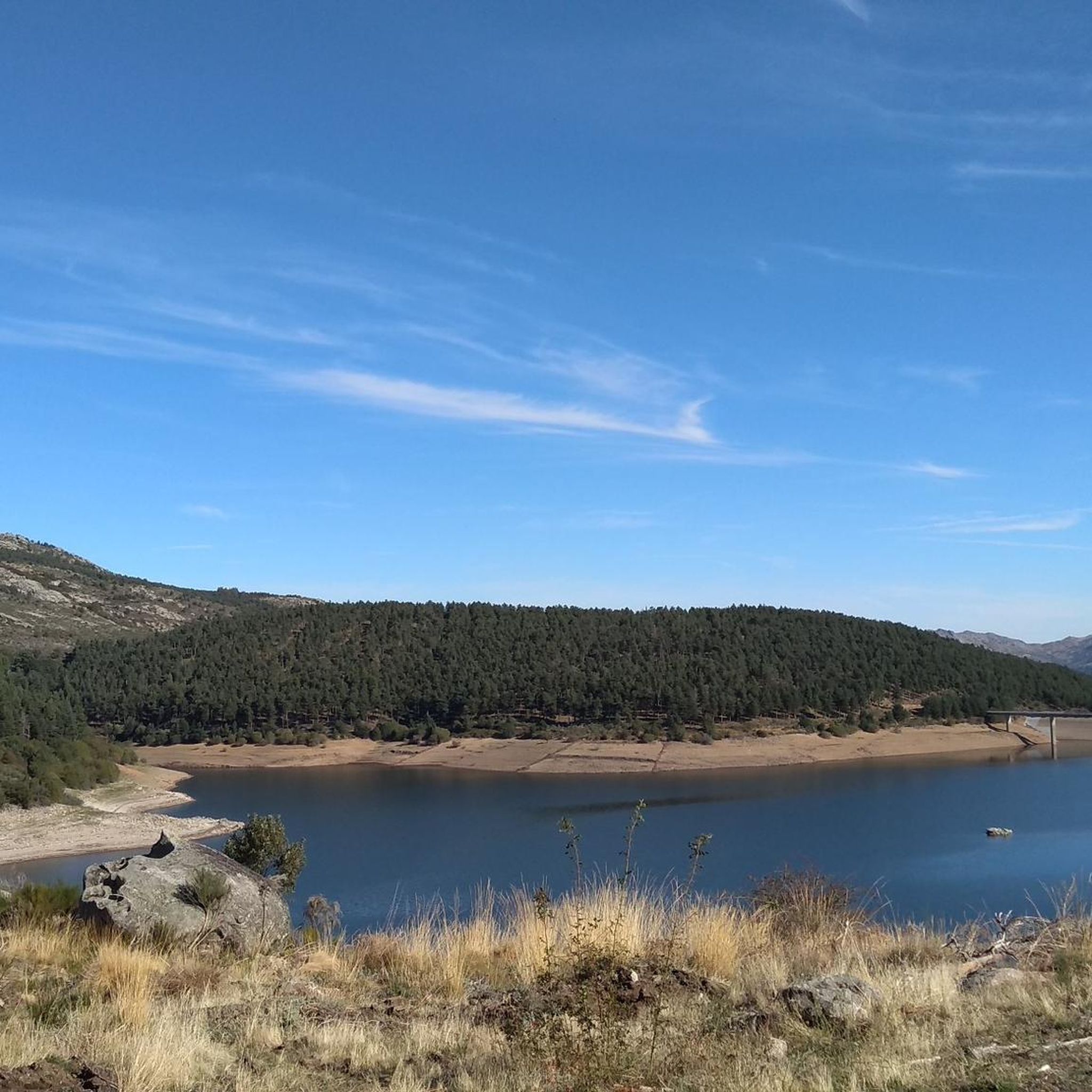
One of the many jewels offered by the Sierra de Candelario, the Navamuño Reservoir combines perfectly with the landscape that surrounds it.
1
0
Located on the outskirts of Béjar in the middle of the Sierra de Candelario forest, this magnificent Sanctuary was built after the apparition of the Virgin in 1496. It is a very picturesque building and it is also worth visiting inside.
1
1
A very popular place in the area and with good reason it is. Next to the cross is the viewpoint that offers beautiful panoramic views of the entire Sierra de Béjar valley and the town below. A few meters away is the refuge and an area with tables to take a break and enjoy this wonderful place.
1
1
Frequently Asked Questions
How many hiking trails are available around Navacarros?
There are over 80 hiking trails around Navacarros, offering a wide range of options for different skill levels. You'll find everything from easy walks to more challenging ascents through mountainous terrain.
What kind of landscapes can I expect to see while hiking near Navacarros?
Hiking near Navacarros offers diverse landscapes, including mountainous terrain, striking rock formations, and dense pine forests. You'll also encounter areas with beautiful chestnut trees, especially along paths like the Camino de las Cascadas, which are particularly vibrant in certain seasons. The region is part of the broader Sierra de Béjar, providing a rich natural environment.
Are there any trails with waterfalls near Navacarros?
Yes, the Camino de las Cascadas (Waterfall Path) is a notable trail just a few minutes from Navacarros. It winds through tall pine trees and native vegetation, offering enchanting views of waterfalls and a diverse color palette, especially with its chestnut trees.
What is the general difficulty level of hikes around Navacarros?
The trails around Navacarros cater to various abilities. You'll find approximately 16 easy routes for leisurely strolls, 45 moderate trails for a good workout, and 27 difficult paths for experienced hikers seeking a challenge. The area's mountainous nature means some routes involve significant ascents.
Are there any circular hiking routes in the area?
Yes, many routes around Navacarros are circular. For example, the Canchal Negro Loop from La Covatilla is a popular moderate option, and the Fuente de la Hoja – Ermita del Humilladero loop from Béjar also offers a varied countryside experience.
What are some notable landmarks or viewpoints I can discover on a hike?
You can discover several interesting landmarks and viewpoints. The Navamuño Dam and Navamuño Reservoir Views offer scenic vistas. For historical interest, the Ermita del Humilladero is a religious building often included in routes. More challenging hikes might lead you to the Torreón (Calvitero Summit) for panoramic views.
Are there family-friendly hiking options near Navacarros?
Yes, Navacarros offers several family-friendly hiking options, particularly among the easier routes. These trails often feature gentle gradients and scenic points of interest suitable for all ages. The diverse natural settings, including pine and chestnut forests, provide an engaging environment for families to explore together.
What do other hikers enjoy most about hiking in Navacarros?
The komoot community highly rates the hiking experience around Navacarros, with an average score of 4.6 stars from over 150 reviews. Hikers often praise the varied terrain, from dense forests to mountainous vistas, and the tranquility of the natural surroundings. The presence of features like the Camino de las Cascadas also receives positive feedback.
Is Navacarros a good destination for dog-friendly walks?
Navacarros is generally suitable for dog-friendly walks, with many trails winding through natural landscapes like forests and open areas. It's always recommended to keep dogs on a leash, especially in areas with wildlife or livestock, and to carry water for both yourself and your pet.
What is the best time of year to go hiking in Navacarros?
Navacarros offers hiking opportunities throughout the year. Spring and autumn are particularly pleasant, with mild temperatures and vibrant natural colors, especially when the chestnut trees are in full display. Summer can be warm, making early morning or late afternoon hikes ideal, while winter offers a different, often tranquil, experience in the mountainous landscape, though some higher trails might require appropriate gear.
Are there any long-distance or challenging routes for experienced hikers?
Yes, for experienced hikers seeking a challenge, there are several difficult routes. The Route of the Fountains of Candelario is a difficult path winding through the Sierra de Candelario. Another challenging option is the Crossroads and beautiful views – Views on the embalse de Navamuño loop from Béjar, which covers a significant distance and elevation.
What are the options for parking when hiking near Navacarros?
While specific parking areas for each trail are not detailed, Navacarros and nearby towns typically offer public parking facilities. It's advisable to check local signage upon arrival for designated parking spots, especially near popular trailheads or village centers.
Can I reach hiking trails near Navacarros using public transport?
Public transport options to Navacarros and its surrounding hiking areas may be limited. While local bus services might connect to larger towns, direct access to all trailheads via public transport is not always available. Planning your journey in advance and considering local taxi services or carpooling is recommended for reaching more remote starting points.
Most popular routes around Navacarros
Most popular attractions around Navacarros

Get inspired with the komoot mobile app


Explore more
Browse the best Hikes in other regions.
