The best running trails around Benillup
4.8
(24)
1,638
runners
55
runs
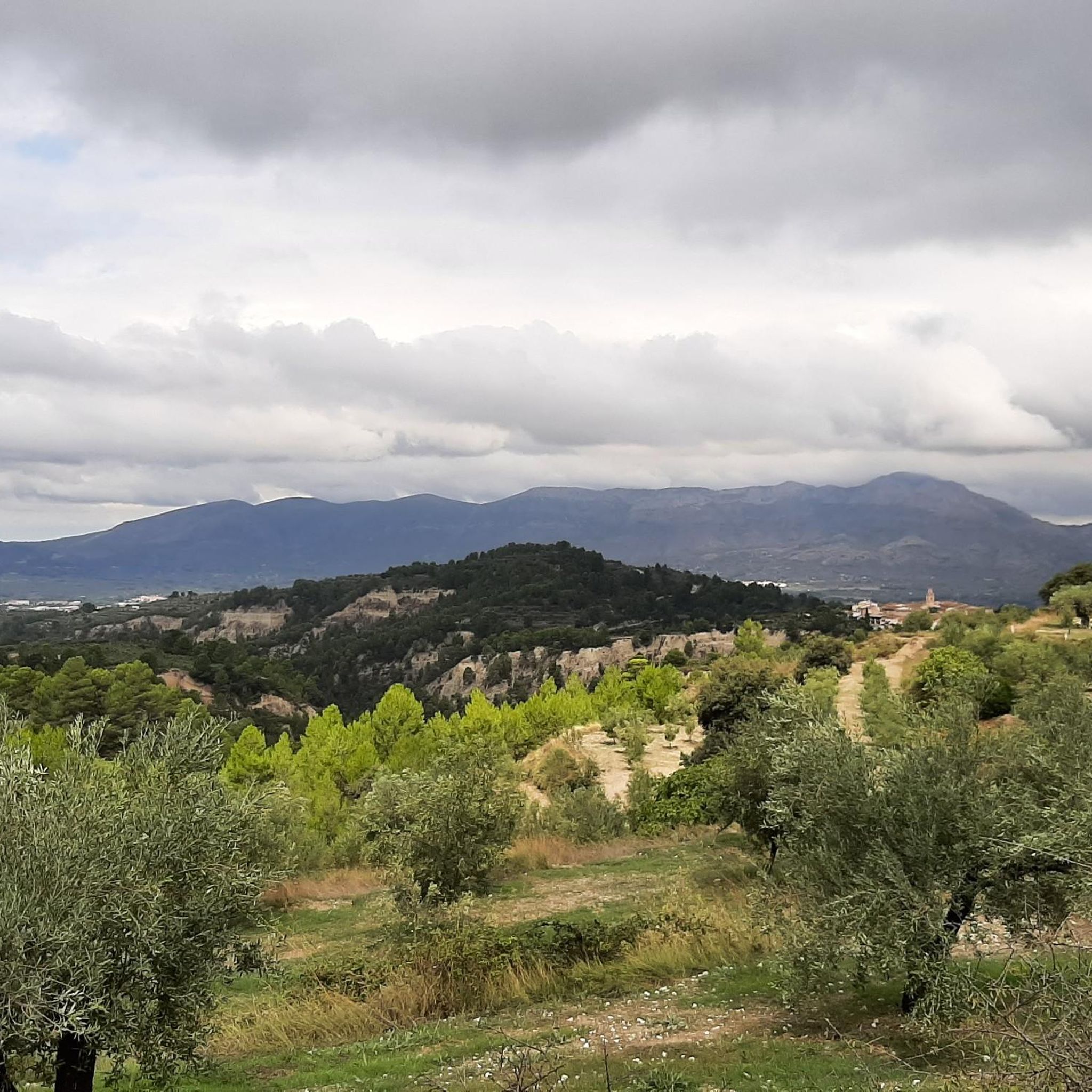
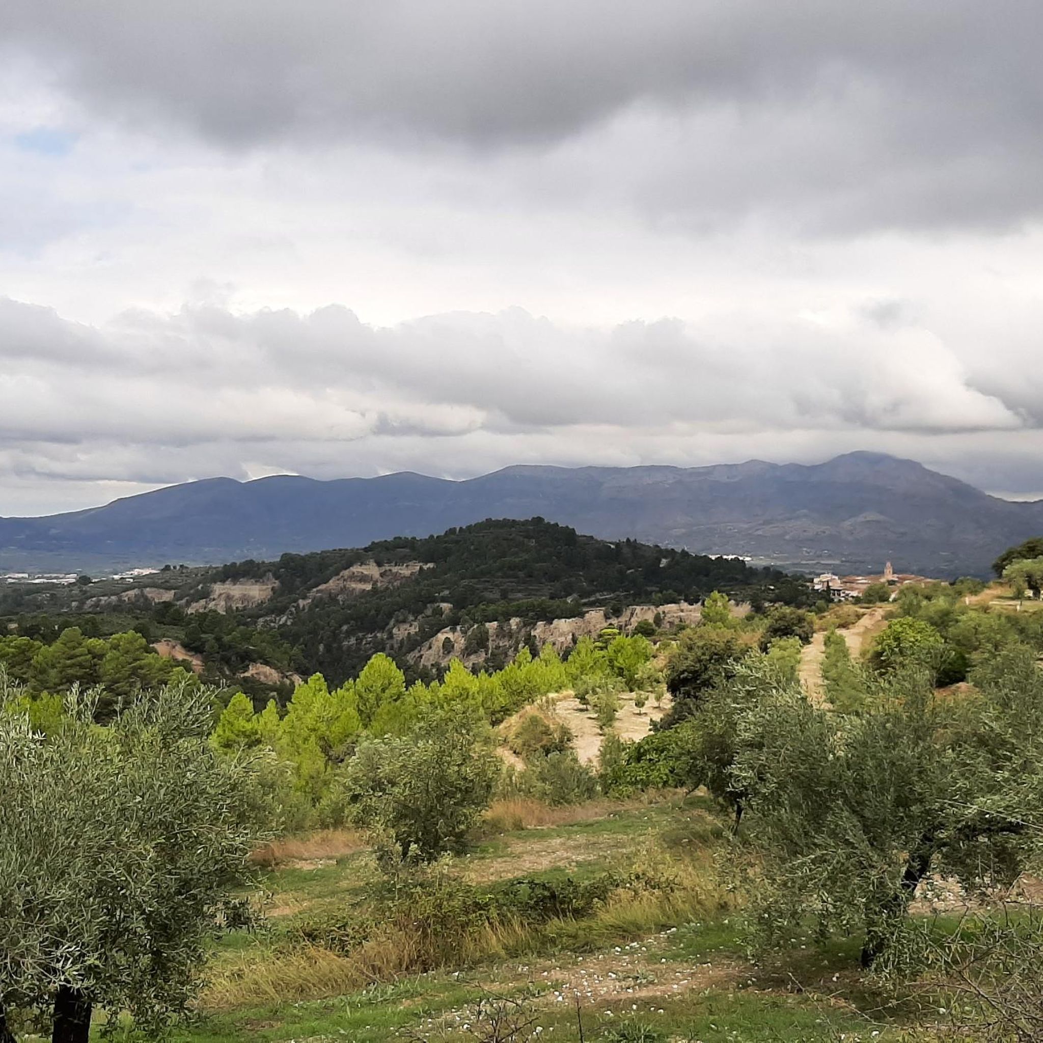
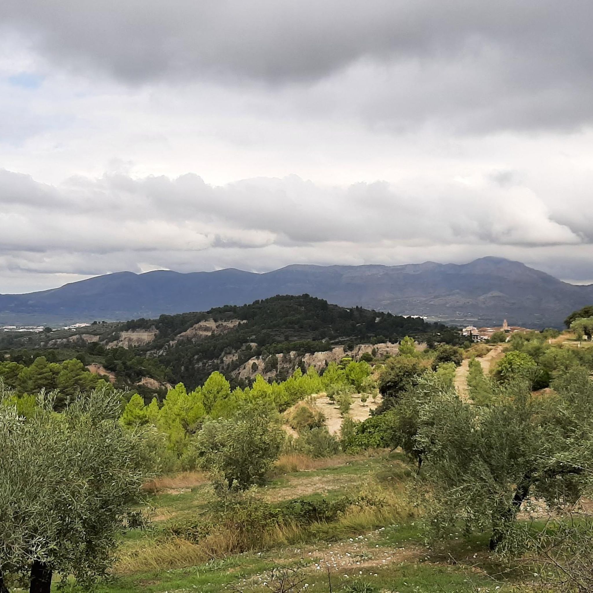
Jogging routes around Benillup offer a stimulating environment for runners seeking both physical challenge and scenic beauty within Spain's Valencian Community. The region is characterized by its mountainous terrain, situated at the foot of the Serra de Almudaina and flanked by impressive ravines. This topography provides varied elevation changes, natural paths, and dirt tracks, ideal for trail running. The tranquil rural atmosphere and panoramic views, particularly from the Mirador de Travadell, enhance the outdoor experience.
Best jogging routes around Benillup
…Last updated: June 29, 2026
20
runners
19.6km
03:42
1,300m
1,300m
Hard run. Very good fitness required. Sure-footedness, sturdy shoes and alpine experience required.
22
runners
28.1km
03:51
1,010m
1,010m
Hard run. Very good fitness required. Sure-footedness, sturdy shoes and alpine experience required.

Sign up for free
18
runners
7.70km
00:48
60m
60m
Moderate run. Good fitness required. Mostly paved surfaces. Suitable for all skill levels.
5.0
(1)
15
runners
17.7km
02:59
980m
980m
Hard run. Very good fitness required. Sure-footedness, sturdy shoes and alpine experience required.
12
runners
25.1km
03:58
1,260m
1,260m
Hard run. Very good fitness required. Sure-footedness, sturdy shoes and alpine experience required.
Get access to more routes and recommendations from other explorers.
Sign up for free
Already have an account?
Our route recommendations are based on thousands of hikes, rides, and runs completed by other people on komoot.
Start today with a free account
Your next adventure awaits.
Login or Signup
Tips from the Community

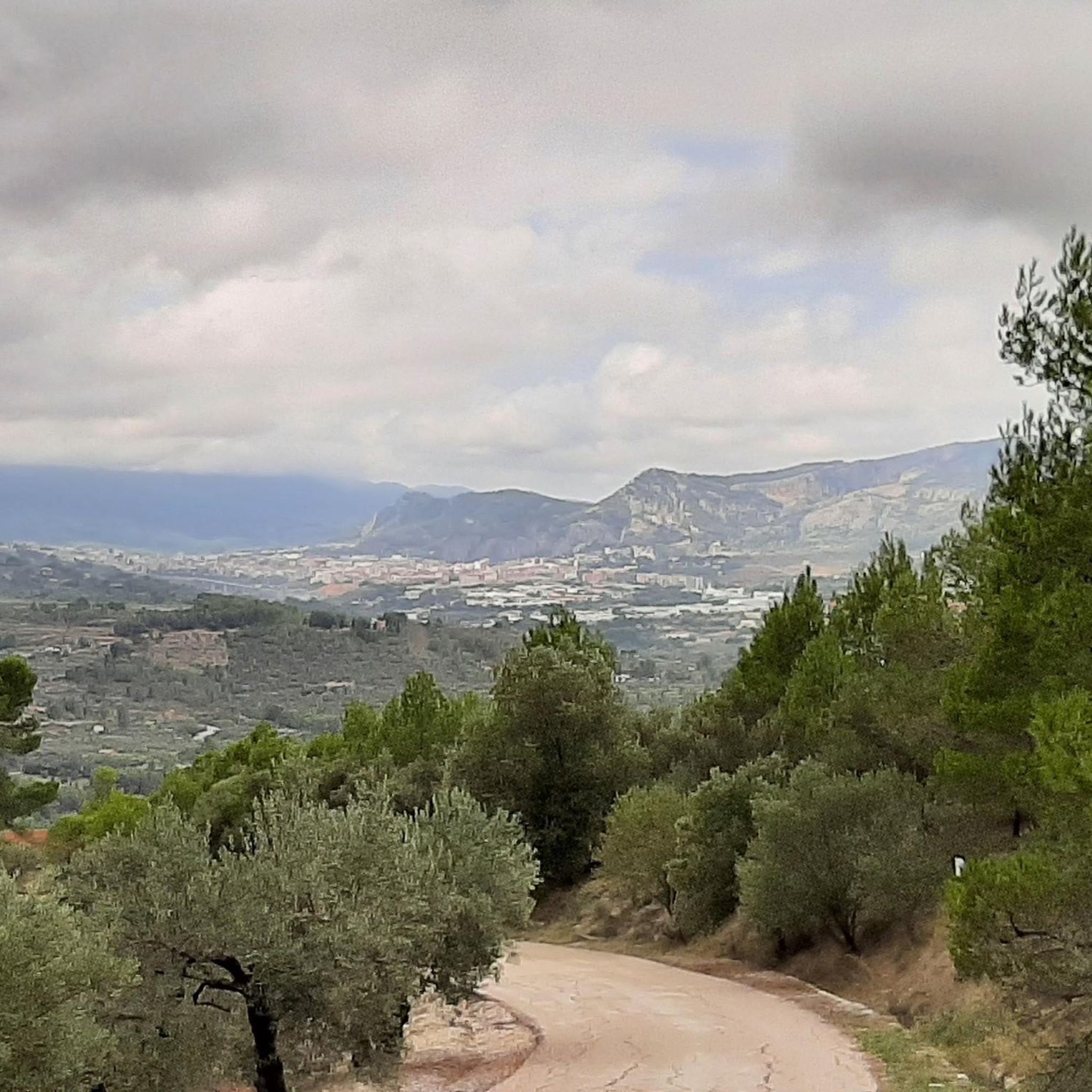
Creu de la Covalta, with exceptional views of the Albaida valley.
0
0
Alt de la Covalta marked with a geodesic vertex. It is separated from the cross of La Covalta by approximately 250 m.
0
0


From its 1,390 meters above sea level, the top of Montcabrer is the panoramic point par excellence of the Parc Natural Serra de Mariola. From here you can see other peaks such as Aitana, Puig Campana and in the distance the summit of Montgó and Benicadell. You can reach the top by several alternative paths and trails of varying difficulty, it's all up to you!
2
0
The top of Pico Teix at 1265 meters above sea level offers amazing 360 views! It can be connected to several paths both from Cocentaina and from Agres through the forest path of l'Ombria in excellent condition. It deserves to visit it because the views are incredible!
2
0
This is an archaeological site of an old snowfield used to store snow for trade. It is about seven meters in diameter and about ten deep and from here the views are very beautiful. Following a few more meters you can reach the top of the Teix peak.
4
0

In the Sierra de Mariola Natural Park. The road ends at the ruins of Mas de Llopis. From this point, a well-marked path takes us in about 45 minutes to the top of Montcabrer.
6
2
Frequently Asked Questions
How many running routes are available in Benillup?
There are over 60 running routes around Benillup, offering a variety of experiences for different skill levels. These include 2 easy routes, 23 moderate routes, and 38 difficult routes, ensuring options for every runner.
What kind of terrain can I expect on running trails in Benillup?
Running trails in Benillup are characterized by mountainous terrain, deep ravines, and natural paths within the Serra de Almudaina. You'll encounter varied elevation changes, dirt tracks, and potentially some rocky sections, providing a stimulating environment for trail running.
Are there any easy or beginner-friendly jogging routes in Benillup?
Yes, while many routes offer a challenge, there are 2 easy jogging routes available. For a moderate option that's not too strenuous, consider the House loop from Muro de Alcoy, which covers about 7.7 km with minimal elevation gain.
What are some notable landmarks or viewpoints I can see while jogging in Benillup?
Benillup offers exceptional views, particularly from the Mirador de Travadell, where nature blends with cultivated land. Along various routes, you might encounter significant peaks like Montcabrer Summit or historical sites such as Castell de Benissili. The region's natural beauty, including the Serra de Almudaina and impressive ravines, provides inspiring backdrops for your runs.
Are there any circular running routes in the Benillup area?
Yes, many of the running routes around Benillup are circular, allowing you to start and finish in the same location. An example of a challenging loop is the Montcabrer loop from Cocentaina, offering extensive views and demanding ascents.
What do other runners enjoy most about jogging in Benillup?
The running routes in Benillup are highly rated by the komoot community, with an average score of 4.8 stars from 25 reviews. Runners often praise the varied terrain, the challenging ascents, and the stunning panoramic views, especially from mountainous areas like Montcabrer.
Is Benillup suitable for family-friendly running or jogging with children?
Benillup's tranquil rural atmosphere and charming hiking routes can be suitable for families. While many routes are challenging, the 2 easy routes available might be more appropriate for families or those jogging with children. Always check the route's difficulty and length to ensure it matches your family's capabilities.
Can I bring my dog on the running trails in Benillup?
The region's natural paths and rural setting generally welcome dogs, making it a great place for dog-friendly runs. However, it's always advisable to keep your dog on a leash, especially in protected natural areas or near livestock, and to check for any specific local regulations on individual trails.
What is the best time of year for running in Benillup?
Benillup's pleasant climate makes it suitable for running for much of the year. Spring and autumn generally offer the most comfortable temperatures for outdoor activities. Summers can be warm, so early morning or late evening runs are recommended, while winters are mild but can be cooler at higher elevations.
Are there options for parking near the running trails in Benillup?
Given Benillup's rural nature and its proximity to various trailheads, parking is generally available in or near the villages that serve as starting points for routes. For specific routes, it's best to check the individual tour details on komoot for parking suggestions at the trailhead.
How can I access Benillup's running routes using public transport?
While Benillup is a small municipality, public transport options may be limited directly to all trailheads. It's recommended to research local bus services to Benillup or nearby towns like Cocentaina or Muro de Alcoy, which serve as common starting points for many routes. From there, you might need to walk or arrange local transport to reach specific trailheads.
Most popular attractions around Benillup

Get inspired with the komoot mobile app


Explore more
Browse the best Running Trails & Routes in other regions.
