The best MTB trails around Esplegares
3.8
(9)
12
riders
8
rides
Mountain bike trails around Esplegares are situated in a tranquil village bordering the Alto Tajo Natural Park and the broader Alcarria region in Guadalajara, Spain. The terrain features a mix of deep canyons, extensive pine forests, and dramatic geological formations within the natural park. The surrounding Alcarria region offers undulating landscapes with limestone and gypsum formations, providing diverse riding experiences. This area serves as a gateway to both rugged, challenging routes and more gentle, picturesque paths.
Best mountain bike trails…
Last updated: June 28, 2026
Hard mountain bike ride. Good fitness required. Advanced riding skills necessary. Some portions of the route may require you to push your bike.
3.5
(4)
3
riders
Moderate mountain bike ride. Good fitness required. Advanced riding skills necessary.

Sign up for free
1.0
(1)
2
riders
Moderate mountain bike ride. Good fitness required. Suitable for all skill levels.
5.0
(1)
2
riders
32.7km
02:36
510m
510m
Moderate mountain bike ride. Good fitness required. Suitable for all skill levels.
5.0
(1)
2
riders
24.4km
01:39
190m
190m
Easy mountain bike ride. Great for any fitness level. Suitable for all skill levels.
Get access to more routes and recommendations from other explorers.
Sign up for free
Already have an account?
Our route recommendations are based on thousands of hikes, rides, and runs completed by other people on komoot.
Start today with a free account
Your next adventure awaits.
Login or Signup
Popular around Esplegares
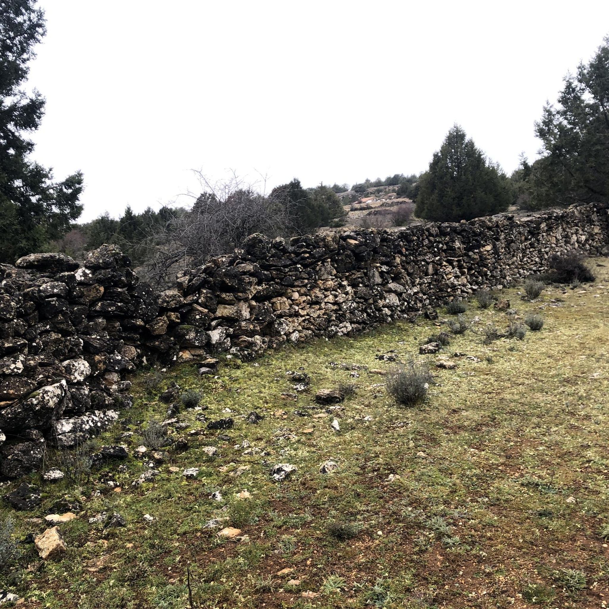
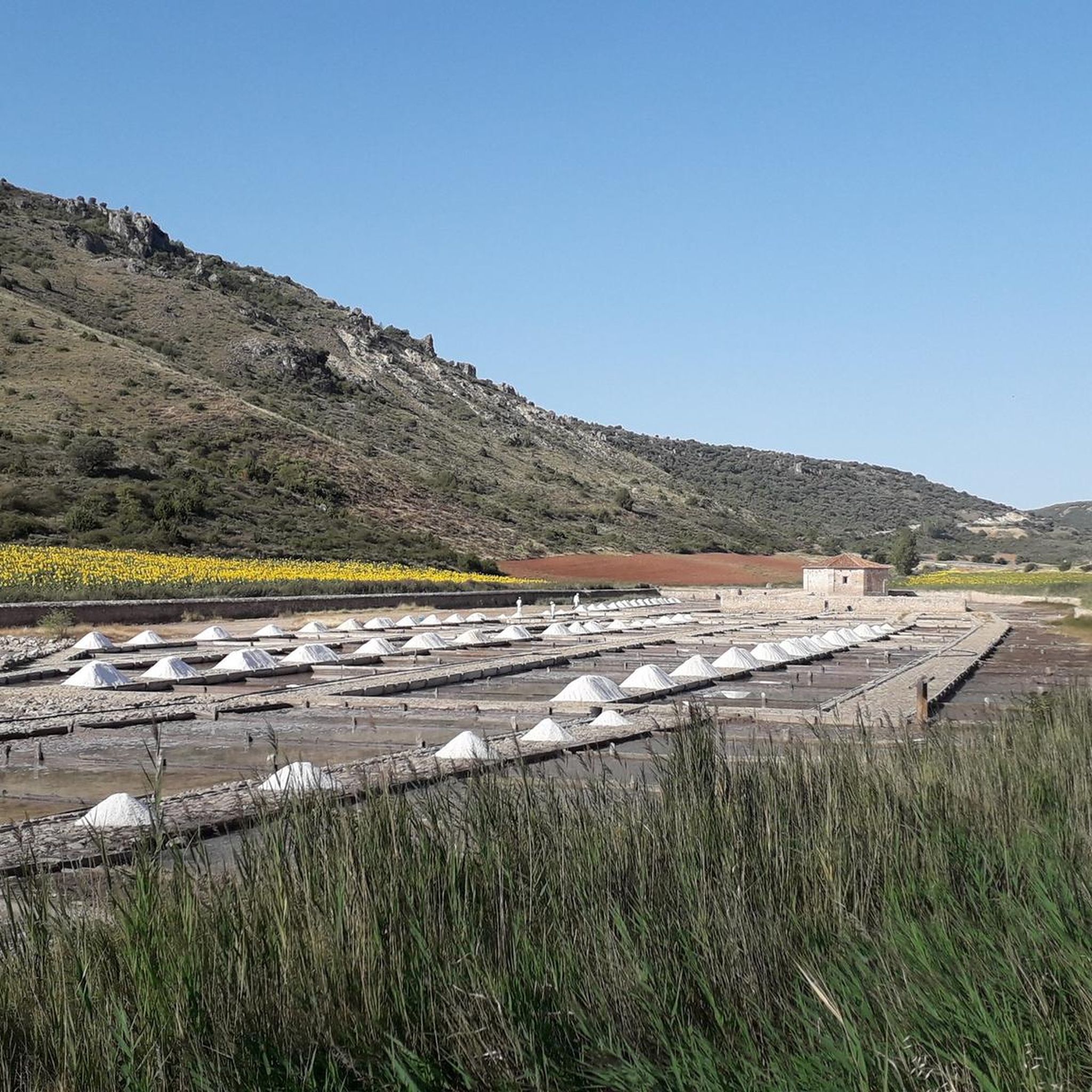
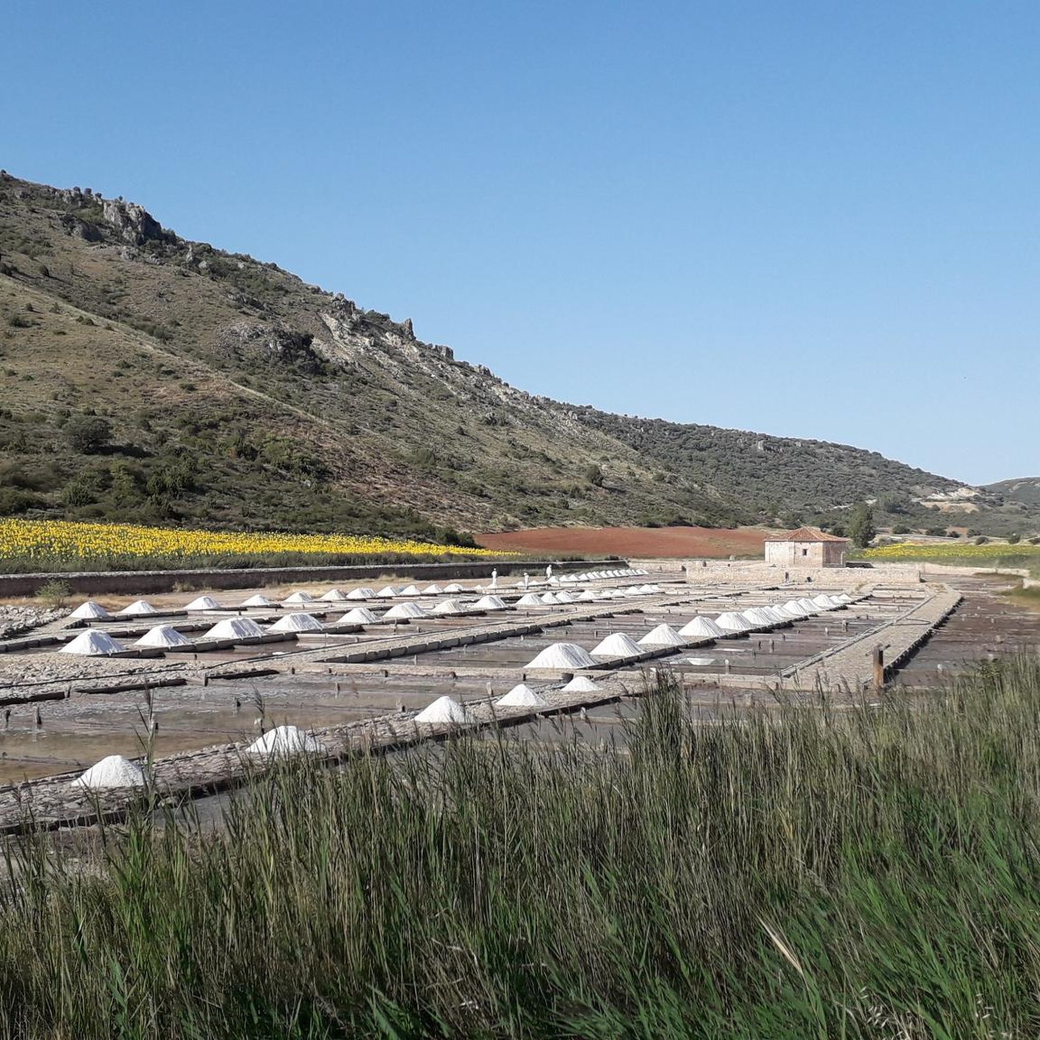
Tips from the Community

At the top of the cliff of the Tajo River Canyon, you can see an extraordinary landscape, from the Strait of La Tormellera, which is considered the Gateway to the Alto Tajo, passing through El Hundido de Armallones, to the area of Las Carquiñas, all the majesty of the Tajo River. While you are on the Pico del Alar, you will be accompanied by vultures flying around you.
0
0
Extraordinary town, on the banks of the Tajuña River, full of history. From its Celtiberian Castros through its Roman Camps, to its Cuevas del Cid and its Muslim towers. Nearby is one of the most characteristic Dolmens of the plateau, the Portillo del Cortes Dolmen. There were also menhirs although with the concentration of land they disappeared. Its churches are also of extraordinary value. Its very welcoming people.
1
0

Tortonda is a small town belonging to the municipality of Guadalajara, in the autonomous community of Castilla-La Mancha. Views of the city, with its tower, make a pleasant detour along the road.
0
0

Location in a privileged location in the Luzaga area.
0
0

The Torresaviñán castle, from the 12th century, is located on a hill very close to Torremocha del Campo and is visible from the Barcelona highway itself. It is of Muslim origin and due to the absence of amenities in its structure, it is assumed that it was a defensive post, rather than a permanent settlement. Its current state is due to the blowing up of its walls by the Austrian army during the war of succession in the 18th century.
0
0
Entry point to the Alto Tajo Natural Park and the beginning of this route
0
0
Unknown town but with a lot of charm. The Tajuña pass stands out with its orchards, the cave where they say the Cid Campeador spent the night in his exile, and its tower on top of the rocky outcrops.
0
1

Town of the homonymous municipality in the province of Guadalajara, located on the edge of one of the gorges of the Tajuña River.
2
0
Frequently Asked Questions
What types of terrain can I expect on mountain bike trails around Esplegares?
Mountain bike trails around Esplegares offer a diverse range of terrain. Within the adjacent Alto Tajo Natural Park, you'll encounter deep canyons, extensive pine forests, and dramatic geological formations. The broader Alcarria region, where Esplegares is located, features undulating landscapes with limestone and gypsum formations, providing a mix of natural paths, local roads, and tracks. This variety caters to different riding experiences, from rugged and challenging to more gentle and picturesque.
How difficult are the mountain bike trails in the Esplegares area?
The trails around Esplegares cater to various skill levels. You'll find routes ranging from easy to difficult. For instance, Sacecorbo – Arrival in Sacecorbo loop from Abánades is an easy option, while Pico del Alar – circular from Sacecorbo through the Alto Tajo Natural Park is a difficult route with significant elevation gain. The Alto Tajo Natural Park, in particular, is known for trails that can be quite demanding, sometimes requiring advanced skills.
Are there any circular mountain bike routes available?
Yes, many of the mountain bike routes around Esplegares are circular, allowing you to start and finish in the same location. Examples include the difficult Pico del Alar – circular from Sacecorbo through the Alto Tajo Natural Park, and the moderate Anguita Village and Church – Anguita Village loop from Casa Rural Molino El Salobre.
What are some natural landmarks or viewpoints I can see while mountain biking?
The region is rich in natural beauty. Within the Alto Tajo Natural Park, you can experience impressive canyons and gorges carved by the Tagus River, vast pine forests, and dramatic cliffs. Notable natural highlights include the Stone Waterfall (Cascada de Piedra) and the Valley of Miracles. You might also encounter the Pico del Alar, a prominent summit.
Are there any family-friendly mountain bike trails near Esplegares?
While many trails in the Alto Tajo Natural Park can be challenging, the broader Alcarria region offers more gentle, picturesque paths that might be suitable for families. Look for routes rated 'easy' or 'moderate' that traverse rural landscapes and traditional villages, such as Sacecorbo – Arrival in Sacecorbo loop from Abánades, which is an easy 15.1-mile (24.4 km) route.
What is the best time of year to go mountain biking in Esplegares?
The region offers pleasant riding conditions for much of the year. During the summer months, particularly July and August, the Alcarria region is famous for its blooming lavender fields, offering a picturesque backdrop for cycling. However, the Alto Tajo Natural Park can be enjoyed across seasons, with its diverse flora and fauna providing different experiences throughout the year.
What do other mountain bikers enjoy most about mountain biking in Esplegares?
The mountain bike routes in Esplegares are highly rated by the komoot community, with an average score of 3.75 stars. Reviewers often praise the varied terrain, from the rugged beauty of the Alto Tajo Natural Park to the tranquil rural charm of the Alcarria region, and the opportunities to explore traditional villages and impressive natural landmarks.
Are there any historical or cultural points of interest along the mountain bike routes?
Yes, the region has a rich history. You might encounter traditional architecture in the villages of the Alcarria region. Specific highlights include the Ruins of the Inesperada Salt Factory, the settlement of Buenafuente del Sistal, and the Tagüenza Bridge. Routes like Church of Tortonda – Tortonda Municipal Washhouse loop from Cortes de Tajuña pass through areas with cultural significance.
Can I bring my dog on the mountain bike trails?
While the Alto Tajo Natural Park is a protected area, many natural parks in Spain allow dogs on trails, often requiring them to be on a leash. It's always best to check specific regulations for the Alto Tajo Natural Park or the local municipality before heading out with your dog to ensure compliance and respect for wildlife.
What is the typical length and duration of mountain bike trails in this area?
The mountain bike trails around Esplegares vary significantly in length and duration. You can find routes like the moderate Sacecorbo – Arrival in Sacecorbo loop from Ocentejo, which is about 20.3 miles (32.7 km) and takes around 2 hours 36 minutes. Longer routes, such as the moderate Anguita Village and Church – Anguita Village loop from Casa Rural Molino El Salobre, can be up to 27.7 miles (44.6 km) and take over 3 hours to complete.
Are there any caves or geological formations to explore?
Yes, the Alto Tajo Natural Park is known for its geological wonders, including karst phenomena like caves and travertines (tufa formations). The Cueva de los Casares is a notable cave in the vicinity that you might find interesting to explore.
Most popular attractions around Esplegares

Get inspired with the komoot mobile app


Explore more
Browse the best MTB trails in other regions.
