The best walks and hikes around Fontanar
4.7
(79)
457
hikers
33
hikes
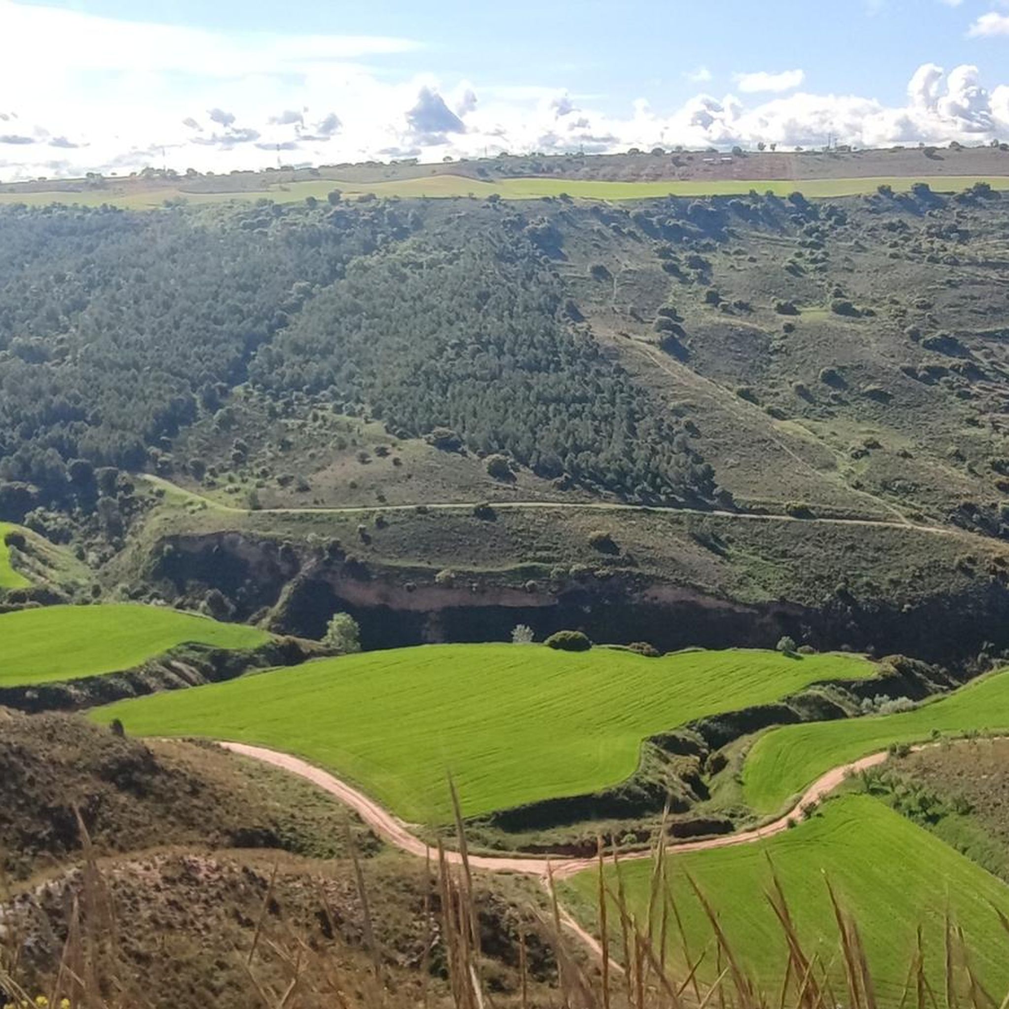
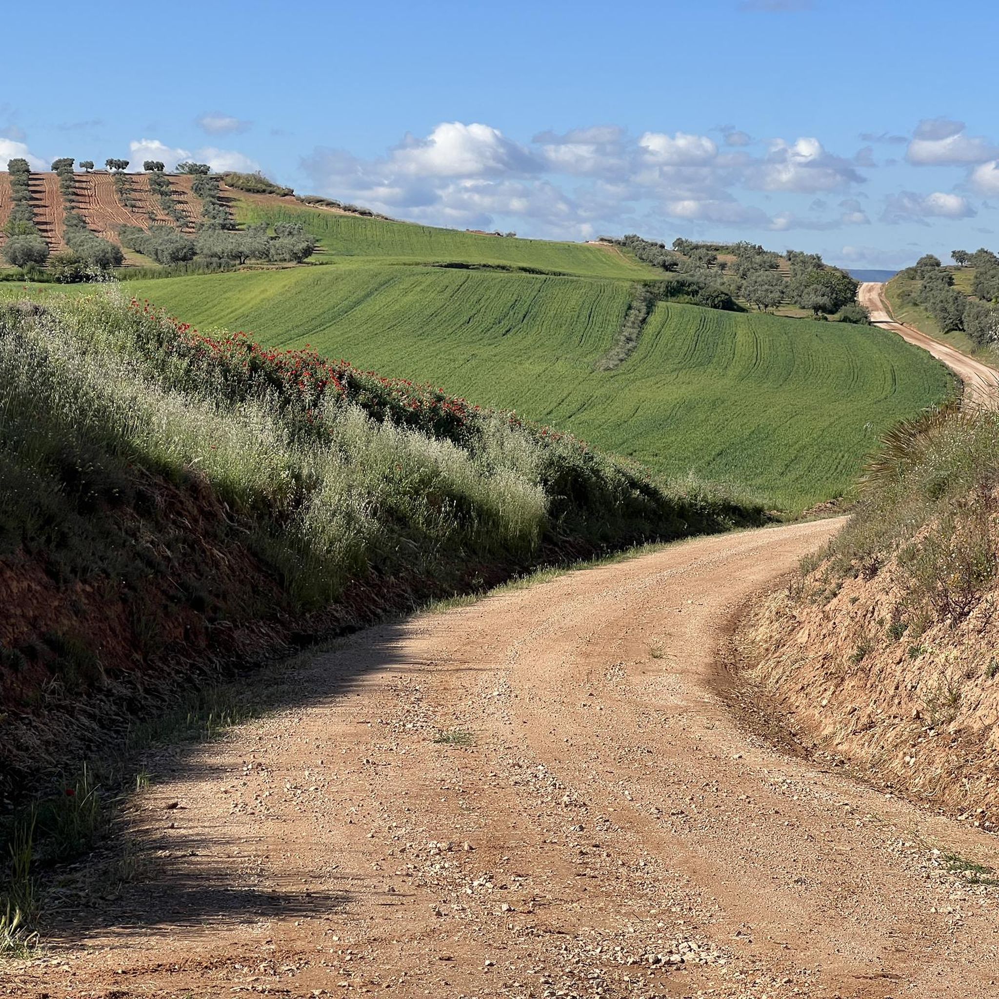
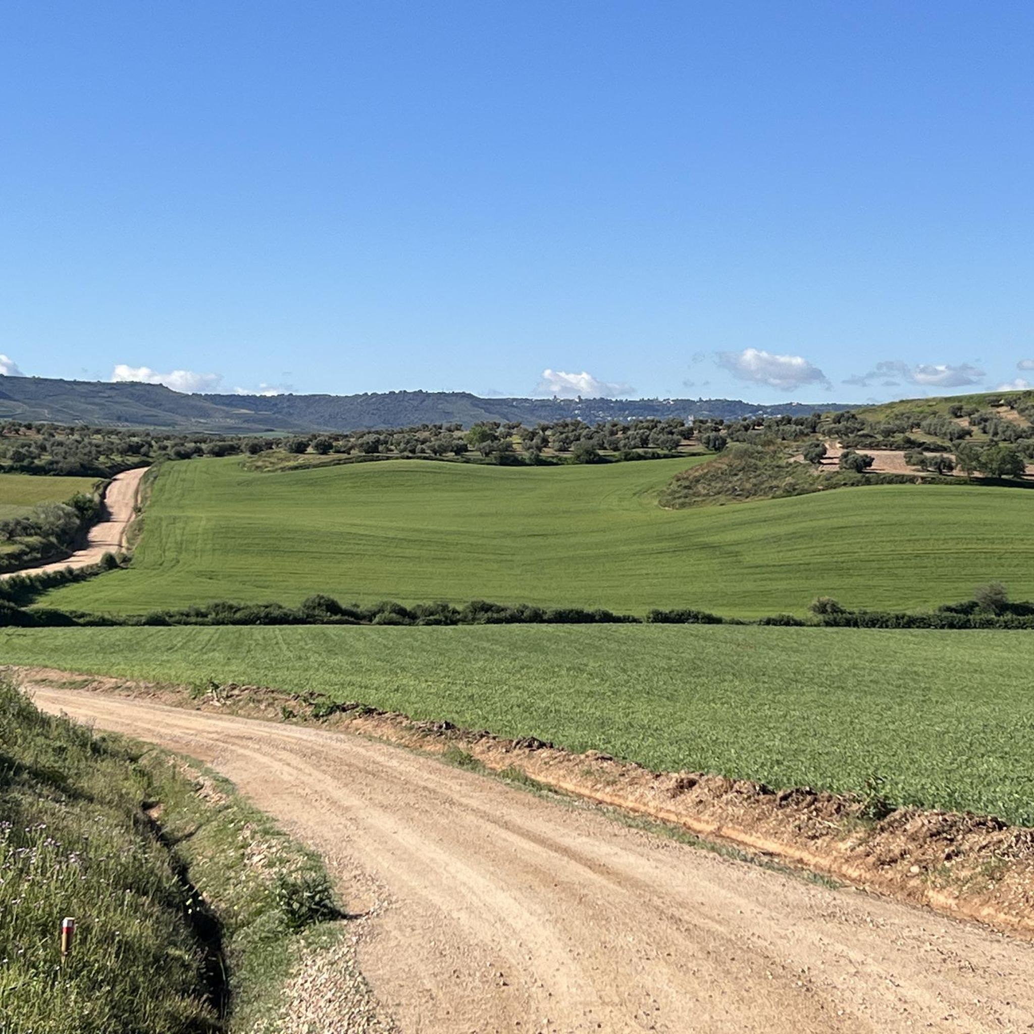
Hiking around Fontanar offers diverse landscapes, situated south of the Sierra de Cazorla Natural Park. The region is characterized by the Guadiana Menor River valley, which creates steep ravines and varied terrain. Hikers can explore areas with unique desert and steppe flora, as well as spots like La Rambla known for abundant water sources and vegetation.
Best hiking trails around Fontanar
- The most popular hiking route is The Slipper Trail, a 6.1 miles (9.8 km) trail that takes 2…
Last updated: June 28, 2026
4.0
(4)
21
hikers
9.80km
02:53
270m
270m
Moderate hike. Good fitness required. Easily-accessible paths. Suitable for all skill levels.
1
hikers
29.9km
08:20
550m
550m
Hard hike. Very good fitness required. Easily-accessible paths. Suitable for all skill levels.

Sign up for free
5.0
(1)
26
hikers
5.76km
01:47
210m
210m
Easy hike. Great for any fitness level. Easily-accessible paths. Suitable for all skill levels.
11
hikers
10.6km
03:08
290m
290m
Moderate hike. Good fitness required. Easily-accessible paths. Suitable for all skill levels.
5.0
(1)
7
hikers
13.9km
04:28
560m
560m
Moderate hike. Good fitness required. Easily-accessible paths. Suitable for all skill levels.
Get access to more routes and recommendations from other explorers.
Sign up for free
Already have an account?
Our route recommendations are based on thousands of hikes, rides, and runs completed by other people on komoot.
Start today with a free account
Your next adventure awaits.
Login or Signup

Tips from the Community

Of the Discalced Carmelites.
0
1

If you go in summer or when it's hot, go up the shady side, it's all covered with pine trees.
0
1
Located in a place a little higher than Guadalajara, it provides privileged views of the entire city and its surroundings.
1
0
An extraordinary viewpoint of Guadalajara and in the distance of Madrid. Also from the neighboring Peña Hueva, Iriepal and the Torija Valley with the A2 Highway
2
0
Whenever you arrive at this Mirador or Balcony of La Peña Hueva, it is convenient to sit on one of its rocks, without danger of falling into the abyss, and admire the nearby landscape, Iriepal, Guadalajara, Pico del Águila, etc., and in the distance, Madrid, Long Rope, etc. Restful rest admiring the beauty of the landscape and the people who walk there.
1
0
Iriepal is a beautiful stopover town for many routes. Climbs to the Antennas, Climbs to the Peña Hueva, Climbs to the Alcarria, etc. Well, you always want to stay on one of its terraces to have a soft drink or a coffee. Its people are charming.
1
0

In the Middle Ages, Iriépal was part of the Guadalajara town and land community. The town had eighty houses and ninety neighbors, all of them farmers. In addition, it had a hospital for the poor, a mill and an oven of its own. In 1627, the town was called Villaflores.
3
0

Picturesque town, especially its Plaza Mayor, which stands out for being an open space surrounded by beautiful buildings. It is a good place for a break, it has some bars and several water fountains.
0
0
Frequently Asked Questions
How many hiking trails are available in Fontanar?
Fontanar offers a diverse network of over 35 hiking trails. These routes cater to various preferences, from leisurely strolls to more challenging full-day expeditions through the region's unique landscapes.
What types of landscapes can I expect to see while hiking in Fontanar?
Hiking around Fontanar reveals a varied landscape. You'll encounter the dramatic terrain of the Guadiana Menor River valley with its steep ravines, unique desert and steppe flora, and areas like La Rambla known for abundant water sources and lush vegetation. The region is also situated near the Sierra de Cazorla Natural Park, offering diverse ecosystems.
Are there any easy or family-friendly hiking options in Fontanar?
Yes, Fontanar has 10 easy hiking routes suitable for families or those looking for a less strenuous walk. An excellent option is the Viewpoint of Peña Hueva loop from Restaurante Las Galeras, which is 5.8 km long and typically takes under two hours to complete, offering scenic viewpoints.
What do other hikers say about the trails in Fontanar?
The trails in Fontanar are highly regarded by the komoot community, boasting an average rating of 4.8 stars from over 80 reviews. Hikers frequently praise the varied terrain, the scenic viewpoints, and the opportunity to explore the region's unique natural features.
Are there any circular hiking routes in Fontanar?
Yes, many routes in Fontanar are designed as loops, allowing you to start and end at the same point. For example, the Viewpoint of Peña Hueva loop from Restaurante Las Galeras and the Pico del Águila loop from Restaurante Las Galeras are popular circular options, offering convenient exploration of the area.
What are some notable viewpoints or natural landmarks to discover on a hike?
From elevated points like the Puntal del Lirio, you can enjoy expansive views across eastern Andalusia. The neighborhood of La Loma also serves as a natural viewpoint. For a specific highlight, consider visiting Pico del Águila, a summit that offers panoramic vistas and is part of a moderate loop trail.
What is the best time of year to go hiking in Fontanar?
Given Fontanar's location and its desert and steppe flora, spring and autumn are generally the most pleasant seasons for hiking. The temperatures are milder, and the landscape can be particularly vibrant after seasonal rains. Summer can be very hot, making early morning or late afternoon hikes preferable, while winter offers cooler, crisp conditions.
Are there any historical sites or cultural attractions near the hiking trails?
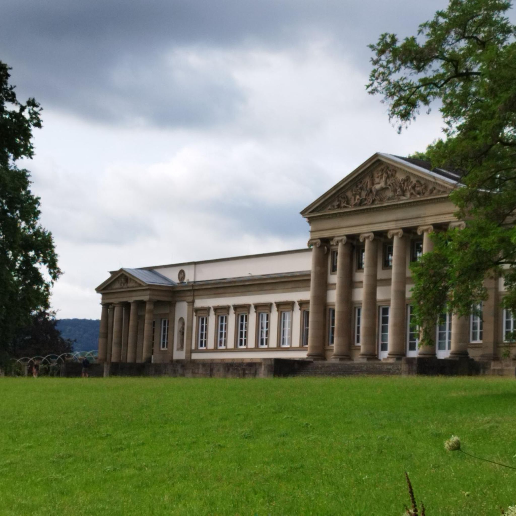
Fontanar's proximity to the Guadiana Menor River suggests historical trails, as it was an ancestral route. Beyond the trails, you can explore nearby attractions such as the impressive Palace of the Infantado, the Co-Cathedral of Santa María de la Fuente la Mayor, or the unique Pantheon of the Duchess of Sevillano.
Are dogs allowed on the hiking trails in Fontanar?
While many natural areas in Spain are dog-friendly, it's always recommended to keep dogs on a leash, especially in natural parks or areas with wildlife, to protect both your pet and the local ecosystem. Always check specific regulations for the Sierra de Cazorla Natural Park if your route enters its boundaries.
Are there any challenging long-distance hikes in the Fontanar area?
Yes, for experienced hikers seeking a challenge, there are 11 difficult routes available. A notable option is the Lupiana e Iriépal — circular desde Guadalajara, a demanding 29.9 km path that explores a significant portion of the wider region and offers a substantial full-day adventure.
Where can I find parking for hiking trailheads in Fontanar?
While specific parking information for every trailhead isn't always available, many routes, especially those starting from villages or popular points like Restaurante Las Galeras, typically have designated or informal parking areas nearby. It's advisable to check the route details on komoot for specific starting points and potential parking suggestions.
What are the typical durations for hikes around Fontanar?
Hikes around Fontanar vary significantly in duration depending on their difficulty and length. Easy routes, like the 5.8 km Viewpoint of Peña Hueva loop, can be completed in under two hours. Moderate trails, such as the 9.8 km The Slipper Trail, might take around three hours, while difficult, longer routes can extend to a full day of hiking.
Most popular attractions around Fontanar

Get inspired with the komoot mobile app


Explore more
Browse the best Hikes in other regions.
