The best road cycling routes around Peñaflor
4.5
(2)
485
riders
34
rides
Road cycling routes around Peñaflor offer a diverse landscape in the Santiago Metropolitan region of Chile, catering to various fitness levels. The area features varied terrain, including well-paved roads and segments with significant elevation gains, alongside natural features like the Mapocho River and the Humedal Urbano El Trapiche. Cyclists can expect a mix of challenging climbs and more gentle routes through rural landscapes. The region's topography provides a dynamic environment for road cycling.
Best road cycling routes around Peñaflor
- The…
Last updated: August 27, 2026
33
riders
Moderate road ride. Good fitness required. Mostly well-paved surfaces and easy to ride.
18
riders
55.8km
02:21
350m
350m
Moderate road ride. Good fitness required. Some segments of this route may be unpaved and difficult to ride.

Sign up for free
8
riders
51.3km
02:19
540m
540m
Moderate road ride. Good fitness required. Some segments of this route may be unpaved and difficult to ride.
4.0
(1)
42
riders
65.3km
02:55
640m
640m
Moderate road ride. Good fitness required. Mostly well-paved surfaces and easy to ride.
44
riders
106km
05:00
1,370m
1,370m
Hard road ride. Very good fitness required. Mostly well-paved surfaces and easy to ride.
Get access to more routes and recommendations from other explorers.
Sign up for free
Already have an account?
Our route recommendations are based on thousands of hikes, rides, and runs completed by other people on komoot.
Start today with a free account
Your next adventure awaits.
Login or Signup
Tips from the Community

Castelo dos Infantes [1 ] (officially called Santiago de Castelo dos Infantes) [2 ] [3 ] is a parish and a village [4 ] in the municipality of Sarria, in the province of Lugo, Galicia.
1
0


Non-cycling route in many sections. Fences with padlocks Not recommended for bikes Yes for hiking
0
1

On the San Calixto C-141 highway and before reaching the PK. 2, take the path to the left that crosses the “Golden Bridge” in the direction of the San Bernardo Mill; After two kilometers you reach a crossroads where you take the path towards the “Sendero del Guadalora” ju
1
0
The town of San Calixto, about 17 km from Hornachuelos, is located in the heart of the Natural Park. Its origin is found in the ancient and legendary Monastery of Tardón, founded in the 16th century. XVI by Brother Mateo de la Fuente, disciple of Saint John of Ávila and hermit from the wilderness of Córdoba, in the company of Brother Diego Vidal. Due to their reputation for holiness, many others joined them. Installed in some mountains heavily populated with thistles, which is why they called it Cardón, in a hut that served as their church, they placed an image of Saint Michael. Over time, these anchorites decided to live under one of the rules approved by the church, and chose that of San Basilio, founding in 1543 the Monastery of San Basilio del Tardón, a nickname derived from Cardón, which remained inhabited by monks until the year 1808. Twenty years later, Francisco Sánchez Gadeo founded the last of the New Towns of Sierra Morena, protected by the repopulating spirit of Carlos III and following his colonizing precepts. In memory of the day of the birth of King Ferdinand VII, October 14, the name of San Calixto was given to the new town.
0
0
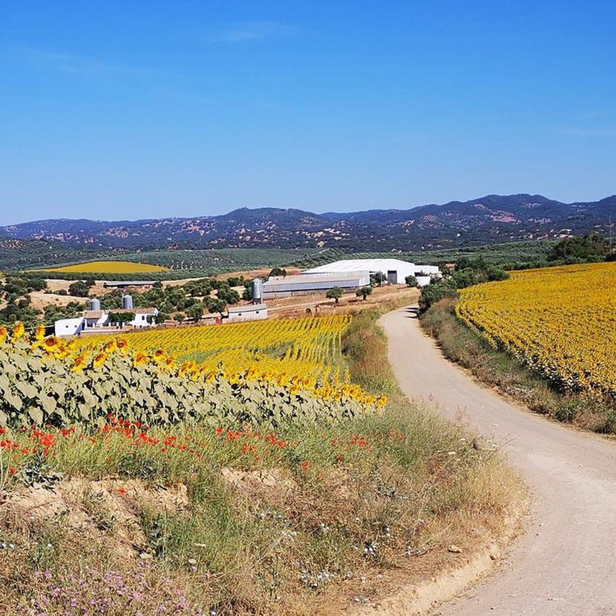
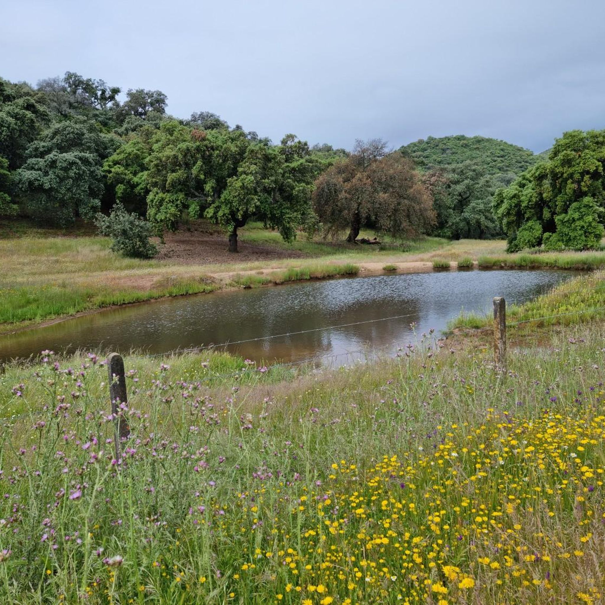
On the San Calixto C-141 highway and before reaching the PK. 2, take the path to the left that crosses the “Golden Bridge” in the direction of the San Bernardo Mill; After two kilometers you reach a crossroads where you take the path straight ahead to the “Sendero del Guadalora” next to which you will find the perfectly signposted Fuente del Conejo.
1
0

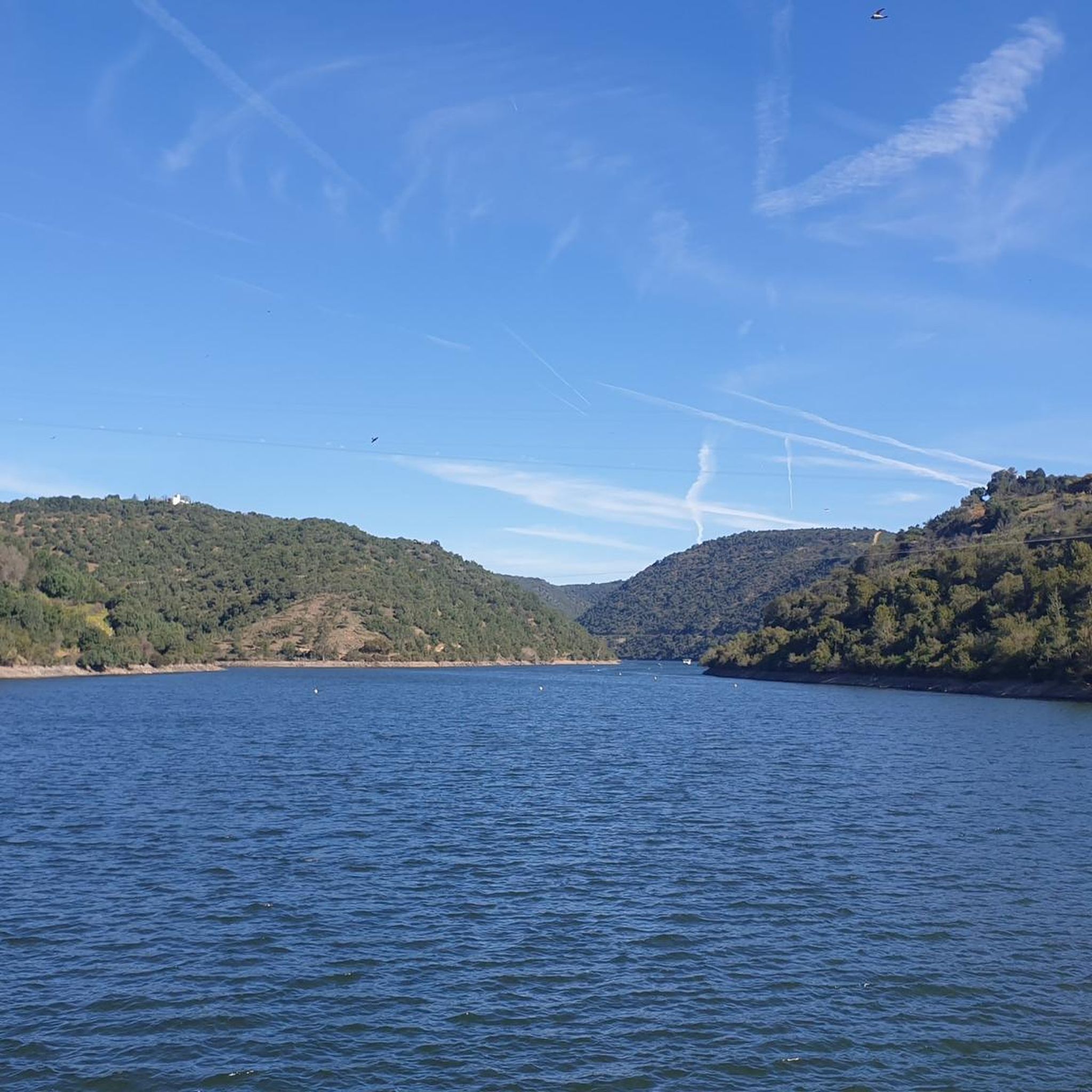
Built on the bed of the Retortillo river, this reservoir is located between the Sierra Norte de Sevilla natural park and the Sierra de Hornachuelos natural park, which in turn form part of the Sierra Morena massif.
1
0
Frequently Asked Questions
How many road cycling routes are available in Peñaflor?
Peñaflor offers a wide selection of road cycling routes, with over 30 options available. These routes cater to various skill levels, from easy rides to challenging climbs.
What is the best time of year for road cycling in Peñaflor?
The region is particularly popular for road cycling during November and December, offering favorable conditions to explore the diverse landscapes.
Are there road cycling routes suitable for beginners in Peñaflor?
Yes, Peñaflor has several routes suitable for beginners. There are 3 easy routes available, offering a gentler introduction to road cycling in the area. These routes often feature mostly well-paved surfaces, ideal for those new to the sport.
What kind of terrain can I expect on road cycling routes in Peñaflor?
The terrain in Peñaflor is diverse. You'll find routes with mostly well-paved surfaces, perfect for smooth rides. However, some routes, especially those with significant elevation gains like parts of Peñaflor – Retortillo Reservoir loop from Palma del Río or the Cuesta de Mallarauco, may include unpaved or difficult-to-ride segments, adding a challenge for experienced riders.
Are there challenging road cycling routes for experienced riders in Peñaflor?
Absolutely. Peñaflor is known for its challenging routes with significant elevation gains. For instance, the Cuesta de Mallarauco is a tough climb, and routes like Peñaflor – Retortillo Reservoir loop from Palma del Río offer substantial ascents, requiring very good fitness. There are 8 difficult routes available for those seeking a demanding ride.
Are there circular road cycling routes around Peñaflor?
Yes, many of the road cycling routes in Peñaflor are circular, allowing you to start and end at the same point. Examples include the Sierra de Hornachuelos Loop from Peñaflor and Hornachuelos from Palma del Rio — circular by Posadas, which offer varied terrain and scenic views.
What natural attractions can I see along road cycling routes in Peñaflor?
Peñaflor's routes often pass by significant natural features. You can explore areas near the Peñaflor Reservoir - Guadalquivir River, which is a municipal natural reserve, or the unique Bembézar Dam. The Humedal Urbano El Trapiche is another unique ecosystem worth noting, providing a habitat for diverse bird species.
Are there any scenic viewpoints on the road cycling routes in Peñaflor?
Yes, the region offers several scenic spots. The Cuesta Mallarauco, for example, leads to a viewpoint offering expansive vistas. Additionally, you might encounter views of reservoirs like the Buendía Reservoir from Mirador de Las Palomas, providing picturesque breaks during your ride.
What do other road cyclists enjoy the most about road cycling in Peñaflor?
The komoot community highly rates the diverse landscapes and varied terrain of Peñaflor. Cyclists often praise the mix of challenging climbs and more gentle routes through rural areas, as well as the natural beauty of the Mapocho River and Humedal Urbano El Trapiche.
Are there any specific landmarks or historical sites near the road cycling routes?
Beyond natural beauty, you can find interesting landmarks such as the Canal de los Presos del Bajo Guadalquivir or the historic Hotel Monasterio de San Francisco. These offer glimpses into the region's heritage as you cycle through.
Can I find long-distance road cycling trails near Peñaflor?
Yes, Peñaflor serves as a starting point or part of several longer routes. For instance, the Peñaflor – Retortillo Reservoir loop from Palma del Río is a challenging long-distance option, covering over 113 km with significant elevation gain, ideal for endurance riders.
Are there options for moderate difficulty road cycling routes?
The majority of road cycling routes in Peñaflor are of moderate difficulty, with 22 such routes available. These routes, like From Palma del Rio to La Puebla de los Infantes – circular via Peñaflor, offer a good balance of distance and elevation, suitable for cyclists with a reasonable fitness level.
Most popular attractions around Peñaflor

Get inspired with the komoot mobile app


Explore more
Browse the best Road cycling routes in other regions.
