The best road cycling routes around Fines
4.0
(1)
273
riders
24
rides
Road cycling routes around Fines offer a diverse landscape for cyclists. The region features varied terrain, including routes that traverse river valleys and ascend into hilly areas, with some challenging climbs. The presence of "Iron Bridge" in route names suggests routes may follow or cross waterways. The area provides a mix of moderate and difficult routes suitable for experienced road cyclists.
Best road cycling routes around Fines
- The most popular road cycling route is Taberno – Arboleas loop from Fines…
Last updated: July 10, 2026
4.0
(1)
21
riders
48.1km
02:13
490m
490m
Moderate road ride. Good fitness required. Some segments of this route may be unpaved and difficult to ride.
12
riders
64.2km
03:33
820m
820m
Moderate road ride. Good fitness required. Some segments of this route may be unpaved and difficult to ride.

Sign up for free
14
riders
56.4km
02:55
550m
550m
Moderate road ride. Good fitness required. Some segments of this route may be unpaved and difficult to ride.
8
riders
124km
06:58
2,790m
2,790m
Hard road ride. Very good fitness required. Mostly well-paved surfaces and easy to ride.
11
riders
99.1km
05:26
2,030m
2,030m
Hard road ride. Very good fitness required. Mostly well-paved surfaces and easy to ride.
Get access to more routes and recommendations from other explorers.
Sign up for free
Already have an account?
Our route recommendations are based on thousands of hikes, rides, and runs completed by other people on komoot.
Start today with a free account
Your next adventure awaits.
Login or Signup
Tips from the Community

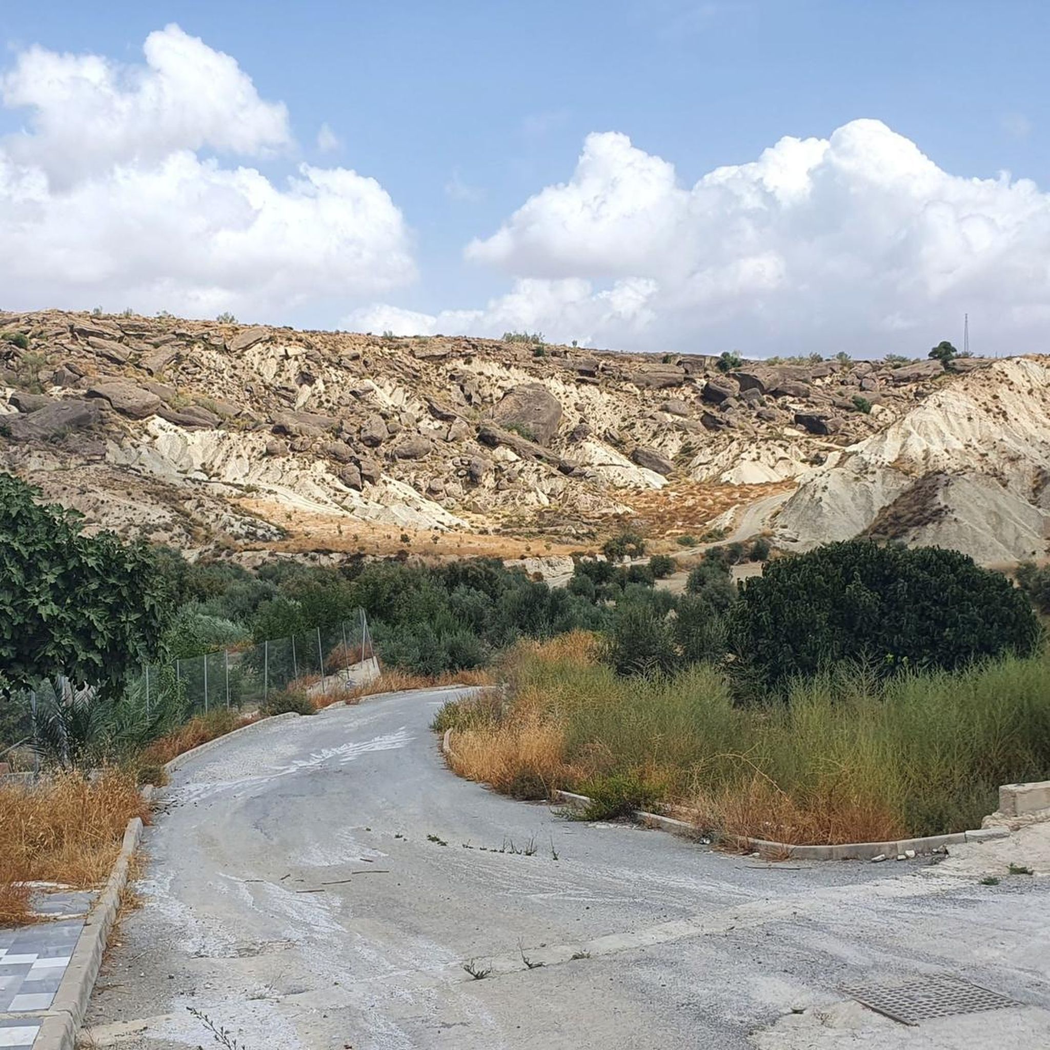
El Alto de Velefique is one of Almería's most notable ascents, known for its long ramps, quiet roads, and a series of well-spaced hairpin turns. The gradients are consistent, often between 4% and 5%, with occasional sections exceeding 10%, making the climb a sustained yet achievable effort. The ascent offers sweeping views of the Sierra de los Filabres and a sense of isolation ideal for focusing on your pedaling. Its layout and landscape are reminiscent of the famous Alpe d’Huez, although it is a less-trafficked and much quieter route.
1
0

The García pass offers endless views, both during the ascent and once at the summit.
0
0

The parish church of Santa María in Albox, which was under the protection of the Virgin of the Rosary in the 18th century, was built between 1718 and 1728.
7
0
Both the name, al-Boj, and its foundation are of Arabic origin, although the area's habitation dates back to the Neolithic period.
8
0
Both the name, al-Boj, and its foundation are of Arabic origin, although the area's habitation dates back to the Neolithic period. The Phoenician presence was evident in the search for minerals, particularly silver. Later, the Roman and Islamic presence is evident in the abundance of archaeological remains found in the area.
9
0

Tahal Castle, nestled in the Sierra de los Filabres, was built in the 15th and 16th centuries to control the routes between the Almanzora Valley and Tabernas. Although it remains in a state of consolidated ruin today, its large rectangular keep, with its elevated entrance and masonry walls, is still impressive. Next to it, you can see the remains of a circular tower, the walled enclosure, and a cistern that provided water in the event of a siege. Freely accessible, it is an interesting place to combine history and hiking in this part of Almería.
1
0
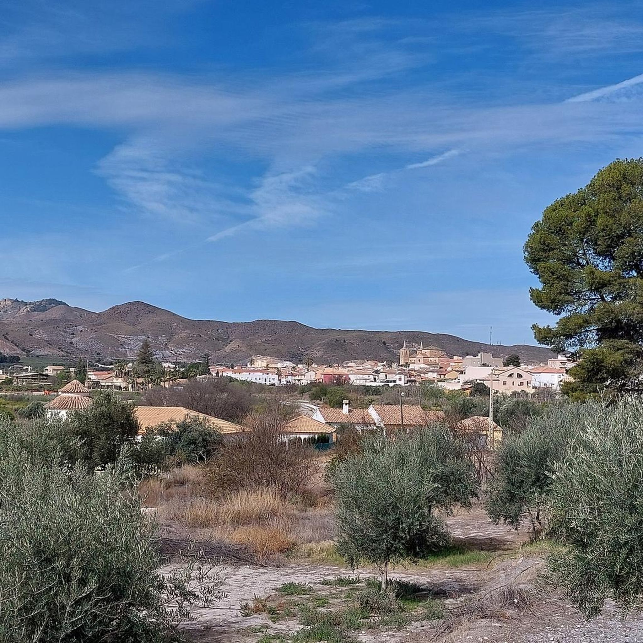
Albox, with approximately 11,000 inhabitants, is located at the foot of the Sierra de las Estancias, a mountain range known for its impressive natural landscapes and popular hiking trails.
9
0

breathtaking place ... so extraterrestrialy beautiful and interesting ..also totally isolated
0
0
Frequently Asked Questions
How many road cycling routes are available around Fines?
There are over 20 road cycling routes around Fines, offering a diverse range of experiences for cyclists. These routes vary in difficulty from moderate to difficult, catering to experienced riders.
What kind of terrain can I expect on road cycling routes in Fines?
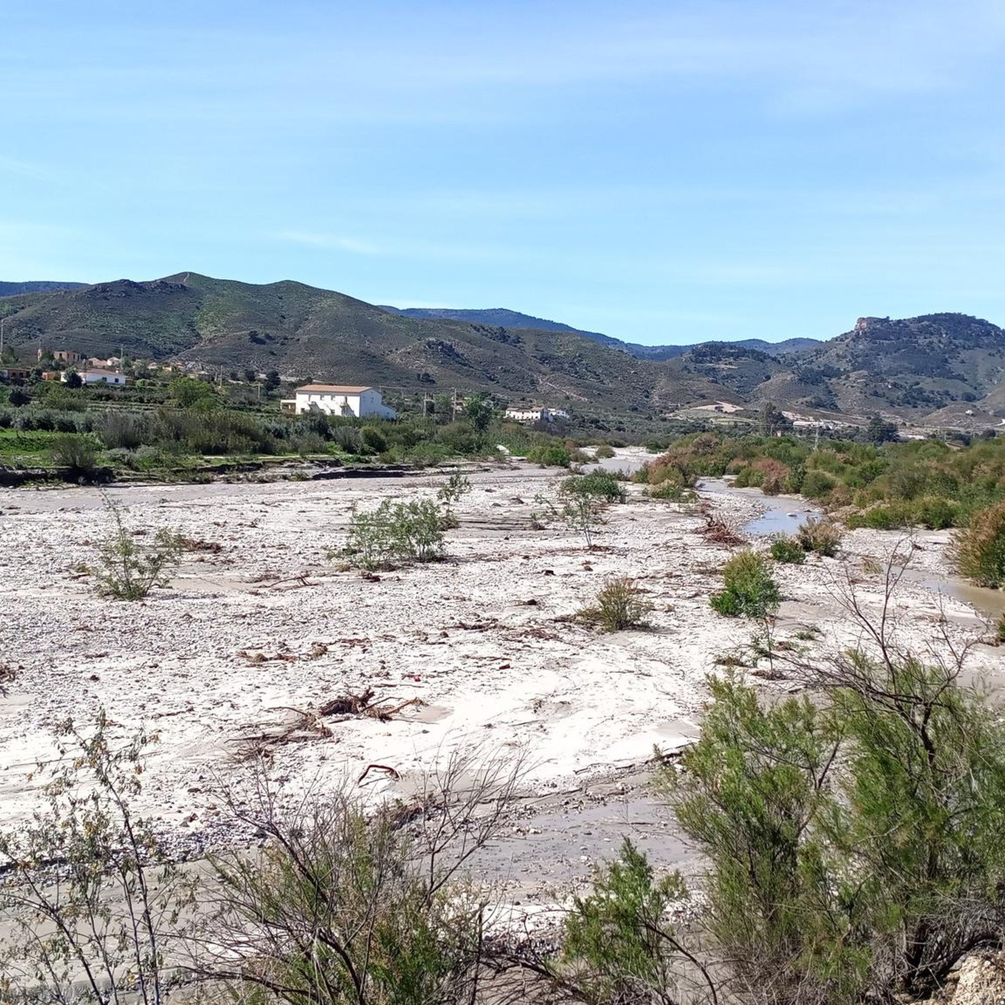
The road cycling routes around Fines feature varied terrain, including paths that traverse river valleys and ascend into hilly areas. You can expect a mix of moderate climbs and more challenging ascents, with some routes featuring significant elevation gain.
Are there any routes suitable for beginners or less experienced road cyclists?
The routes around Fines are primarily categorized as moderate to difficult, with no easy routes listed. They are generally more suitable for experienced road cyclists looking for a challenge, including routes with considerable elevation gain.
What are some notable landmarks or points of interest I might encounter on a road cycling route in Fines?
While cycling around Fines, you might encounter interesting points like the Fines-Olula Station, the Cantoria Tunnel, or the natural feature of El Estrecho de Urrácal. Some routes also feature an 'Iron Bridge', suggesting crossings over waterways.
Are there any long-distance road cycling routes in the Fines area?
Yes, Fines offers several longer routes. For instance, the Taberno – Arboleas loop from Fines is a difficult 56.7-mile (91.3 km) trail, and the Climb to Alto de Velefique – Velefique climb loop from Estación de Fines-Olula is an even longer, difficult route spanning 76.9 miles (123.9 km).
What is a popular moderate road cycling route in Fines?
A popular moderate option is the Almanzora – Iron Bridge of Cantoria loop from Estación de Fines-Olula. This 29.9-mile (48.1 km) path offers a balanced ride through the local landscape, including a notable iron bridge.
Are there any circular road cycling routes around Fines?
Yes, many of the routes around Fines are designed as loops. Examples include the Arboleas – Iron Bridge of Cantoria loop from Fines, a 39.9-mile (64.2 km) trail, and the Iron Bridge of Cantoria – Fines-Olula Station loop from Fines.
What do other road cyclists say about the routes in Fines?
Over 200 road cyclists have used komoot to explore Fines's varied terrain. The routes are appreciated for their diverse elevation profiles, river crossings, and rural landscapes, offering options for different ability levels among experienced riders.
What is the most challenging road cycling route in Fines?
For a significant challenge, consider the Climb to Alto de Velefique – Velefique climb loop from Estación de Fines-Olula. This difficult route covers 76.9 miles (123.9 km) and features substantial elevation gain, making it suitable for very experienced climbers.
Are there any routes that pass through or near the settlement of Almanzora?
Yes, the Almanzora – Iron Bridge of Cantoria loop from Estación de Fines-Olula is a route that includes the settlement of Almanzora, offering a chance to see this area during your ride.
How much elevation gain can I expect on a typical road cycling route in Fines?
Elevation gain varies significantly by route. Moderate routes might have around 1,600 feet (490 meters) of ascent, while more difficult routes, such as the Taberno – Arboleas loop from Fines, can feature over 3,800 feet (1,160 meters) of climbing. The most challenging routes can exceed 9,000 feet (2,700 meters) of elevation gain.
Most popular attractions around Fines

Get inspired with the komoot mobile app


Explore more
Browse the best Road cycling routes in other regions.
