The best walks and hikes around Olocau
4.4
(275)
1,397
hikers
52
hikes
Hiking around Olocau offers diverse landscapes within the Sierra Calderona Natural Park, characterized by extensive forests and distinctive reddish rock formations. The region features a network of trails that traverse Mediterranean vegetation, ravines like Barranco de Carraixet, and natural springs. Olocau's terrain includes both mountainous sections and gentler paths through traditional orchards and dry farming areas.
Best hiking trails around Olocau
- The most popular hiking route is Ascent to Castillo del Real via the Frare spring — circular route through…
Last updated: October 10, 2026
4.7
(75)
210
hikers
Moderate hike. Good fitness required. Easily-accessible paths. Suitable for all skill levels.
4.9
(18)
68
hikers
5.94km
01:46
150m
150m
Moderate hike. Great for any fitness level. Mostly accessible paths. Sure-footedness required.

4.7
(12)
36
hikers
6.12km
01:51
200m
200m
Hike an easy 3.8-mile (6.1 km) circular route in Parc Natural de la Serra Calderona, featuring Olocau Dam and views from Peña Ali-Maimó.
5.0
(2)
9
hikers
Moderate hike. Good fitness required. Mostly accessible paths. Sure-footedness required.
4.5
(4)
65
hikers
2.88km
00:53
110m
110m
Easy hike. Great for any fitness level. Easily-accessible paths. Suitable for all skill levels.
Get access to more routes and recommendations from other explorers.
Already have an account?
Our route recommendations are based on thousands of hikes, rides, and runs completed by other people on komoot.
Start today with a free account
Your next adventure awaits.

Tips from the Community

Old Aljive, In the mountains there are many of these constructions, in this case it is quite well preserved and has an explanatory sign. Curious.
0
0

Point from which you can see Olocau and its orchard area in the bed of the Barranco de Olocau. You get there by climbing a path with wooden steps just outside the town, in the park where L'Arquet is. Be careful with the cliff at the top.
0
0
Fountain near the starting point of most of the Olocau routes. A few metres above is the Colladet or Collado de Sentig.
0
0

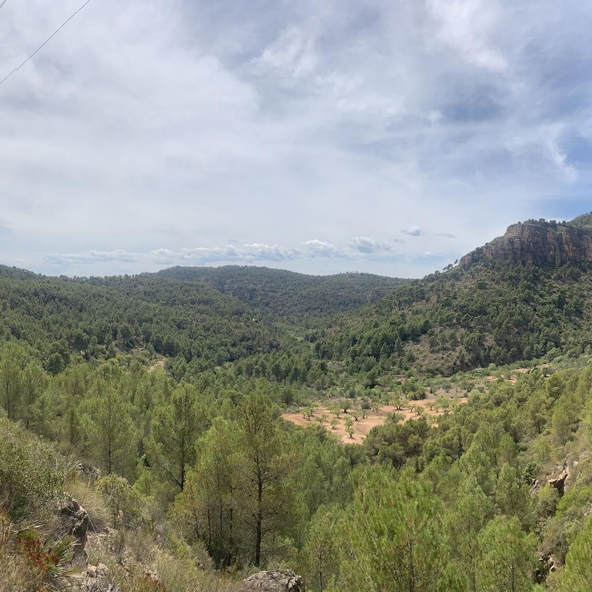
From this point you will find some beautiful distant views of the mountain where the Castillo del Real itself is located at the top. Nice to see!
0
0

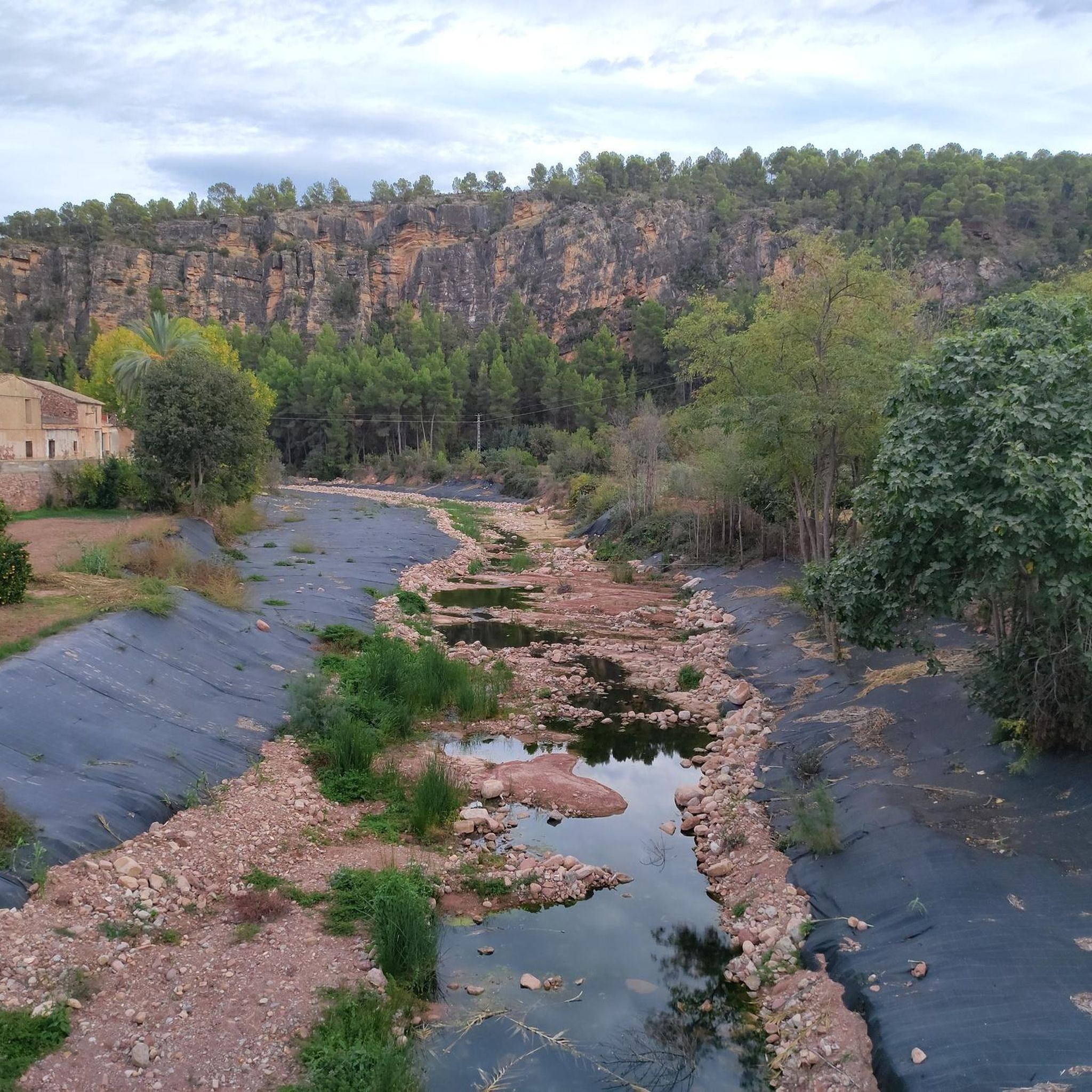
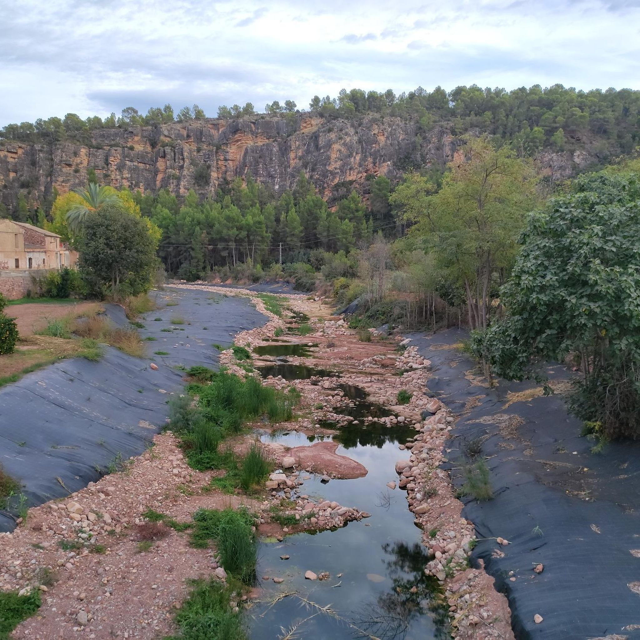
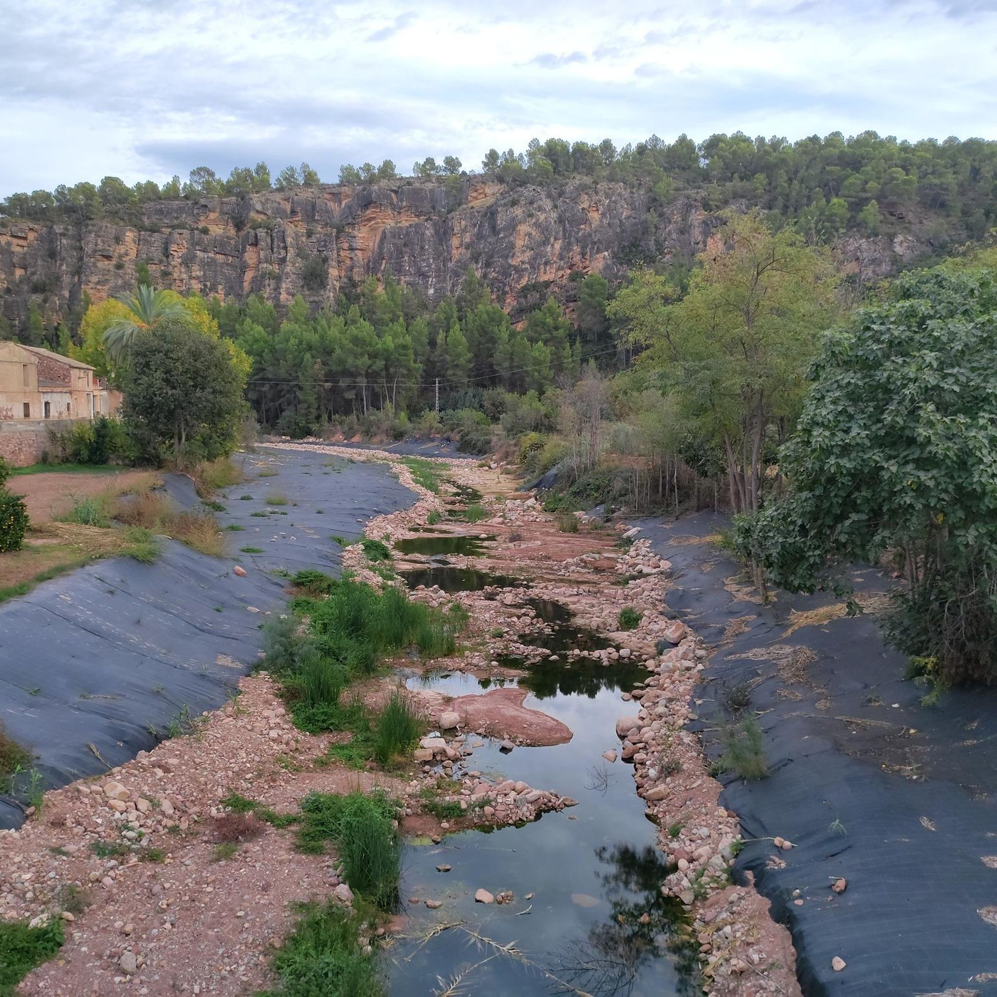
Very nice place. If water is high there are big stones to cross. I could not find my trail from this place to go up - despite it displayed in Komoot, it not exists anymore, I could just see grown huge vegetation an no trail to stay on the other side of the barranco.
1
0
Very nice ancient shelter in stone, very well preserved, with interesting explanations
1
0

A spring on the outskirts of Olocau.
1
0
Frequently Asked Questions
How many hiking trails are available in Olocau?
Olocau offers a wide variety of hiking experiences, with over 50 trails available. These routes cater to different preferences, ranging from easy strolls to more challenging ascents within the Sierra Calderona Natural Park.
What kind of landscapes can I expect to see while hiking in Olocau?
Hiking in Olocau provides diverse scenery. You'll traverse extensive forests of cork oak and pine within the Sierra Calderona Natural Park, encounter distinctive reddish rock formations like Alí Maimó and Penyeta Roja, and explore ravines such as Barranco de Carraixet. The area also features traditional orchards, dry farming landscapes, and natural springs.
Are there hiking options for all skill levels in Olocau?
Yes, Olocau provides trails for various fitness levels. There are 17 easy routes perfect for a relaxed walk, 32 moderate trails for those seeking a bit more challenge, and 5 difficult routes for experienced hikers looking for a strenuous adventure.
What do other hikers enjoy the most about hiking in Olocau?
The trails around Olocau are highly regarded by the komoot community, boasting an average rating of 4.4 stars from over 200 reviews. Hikers frequently praise the diverse landscapes, the well-maintained paths, and the blend of natural beauty with historical sites.
Are there any circular hiking routes in Olocau?
Many routes in Olocau are circular, offering convenient starting and ending points. For example, the Castillo del Real – Olocau Visitor Center loop from Olocau is a moderate 12 km circular hike that allows you to explore the ruins of the 11th-century Castillo del Real.
Can I find historical sites or landmarks along the hiking trails in Olocau?
Absolutely. Olocau is rich in history. You can hike to the Iberian settlement of Puntal dels Llops, or explore the ruins of the 11th-century Castillo del Real. Other notable historical landmarks include the Casa de la Senyoria and the 13th-century Torre de Pardines. You can also discover various castles and caves in the surrounding area.
Are there any natural springs or water features on the hikes?
Yes, Olocau is known for its natural springs. The Fountains Route (Ruta de las Fuentes) is an easy circular walk that highlights notable springs such as Font del Frare and Font de la Salud, as well as the ancient El Arquet aqueduct. You can also find the Frare spring along the Ascent to Castillo del Real via the Frare spring route.
Are there family-friendly hiking trails in Olocau?
Yes, Olocau has several easy routes suitable for families. The Fountains Route, for instance, is an accessible circular walk just over 3 km long, winding through the town center and its surroundings, perfect for a leisurely outing. The Macollades Route is another easy 6 km circular option with little gradient, passing through ancient carob trees.
Are there any challenging hikes in Olocau for experienced hikers?
For experienced hikers, Olocau offers challenging options within the Sierra Calderona Natural Park. The Geological Route, an 8 km circular trail, is considered high difficulty and focuses on the area's unique geological formations. Another demanding option is the Rodeno and Amitges Route, a 13 km circular trail offering impressive panoramic views.
What kind of geological features can be seen in Olocau?
Olocau, particularly within the Sierra Calderona Natural Park, is a geological marvel. You can observe impressive formations including huge breccias, conglomerates, sandstones, reddish silts, and even marine fossils. The Geological Route is specifically designed to showcase these ancient and unique features.
Are there routes that offer panoramic views?
Many trails in Olocau provide stunning panoramic views. The Ascent to Puntal dels Llops offers great vistas from the Iberian settlement. The Rodeno and Amitges Route is also known for its impressive panoramic views across the landscape of the Sierra Calderona Natural Park.
What is the best time of year to go hiking in Olocau?
The Mediterranean climate of Olocau makes it suitable for hiking for much of the year. Spring and autumn generally offer the most pleasant temperatures for exploring the trails. Summers can be hot, so early morning or late afternoon hikes are recommended, while winters are mild, allowing for comfortable hiking on sunny days.
Most popular attractions around Olocau

Get inspired with the komoot mobile app


Explore more
Browse the best Hikes in other regions.
