The best MTB trails around Carrizo
4.4
(6)
134
riders
27
rides
Mountain bike trails around Carrizo National Monument traverse vast open grasslands and wide dirt roads, offering an expansive landscape for riders. The region is characterized by significant geological features, including visible sections of the San Andreas Fault, and is bordered by the Caliente and Temblor Mountains. This terrain is largely suited for gravel bikes or cross-country mountain bikes, providing a remote experience across open plains. The extensive network of public roads allows for considerable exploration.
Best mountain bike trails around…
Last updated: October 5, 2026
5.0
(1)
64
riders
52.6km
04:31
500m
500m
Moderate mountain bike ride. Good fitness required. Suitable for all skill levels.
14
riders
45.3km
03:44
360m
360m
Moderate mountain bike ride. Good fitness required. Suitable for all skill levels.

11
riders
29.3km
02:41
440m
440m
Moderate mountain bike ride. Good fitness required. Suitable for all skill levels.
6
riders
39.1km
03:18
570m
570m
Moderate mountain bike ride. Good fitness required. Suitable for all skill levels.
2.0
(1)
9
riders
Moderate mountain bike ride. Good fitness required. Suitable for all skill levels.
Get access to more routes and recommendations from other explorers.
Already have an account?
Our route recommendations are based on thousands of hikes, rides, and runs completed by other people on komoot.
Start today with a free account
Your next adventure awaits.
Tips from the Community

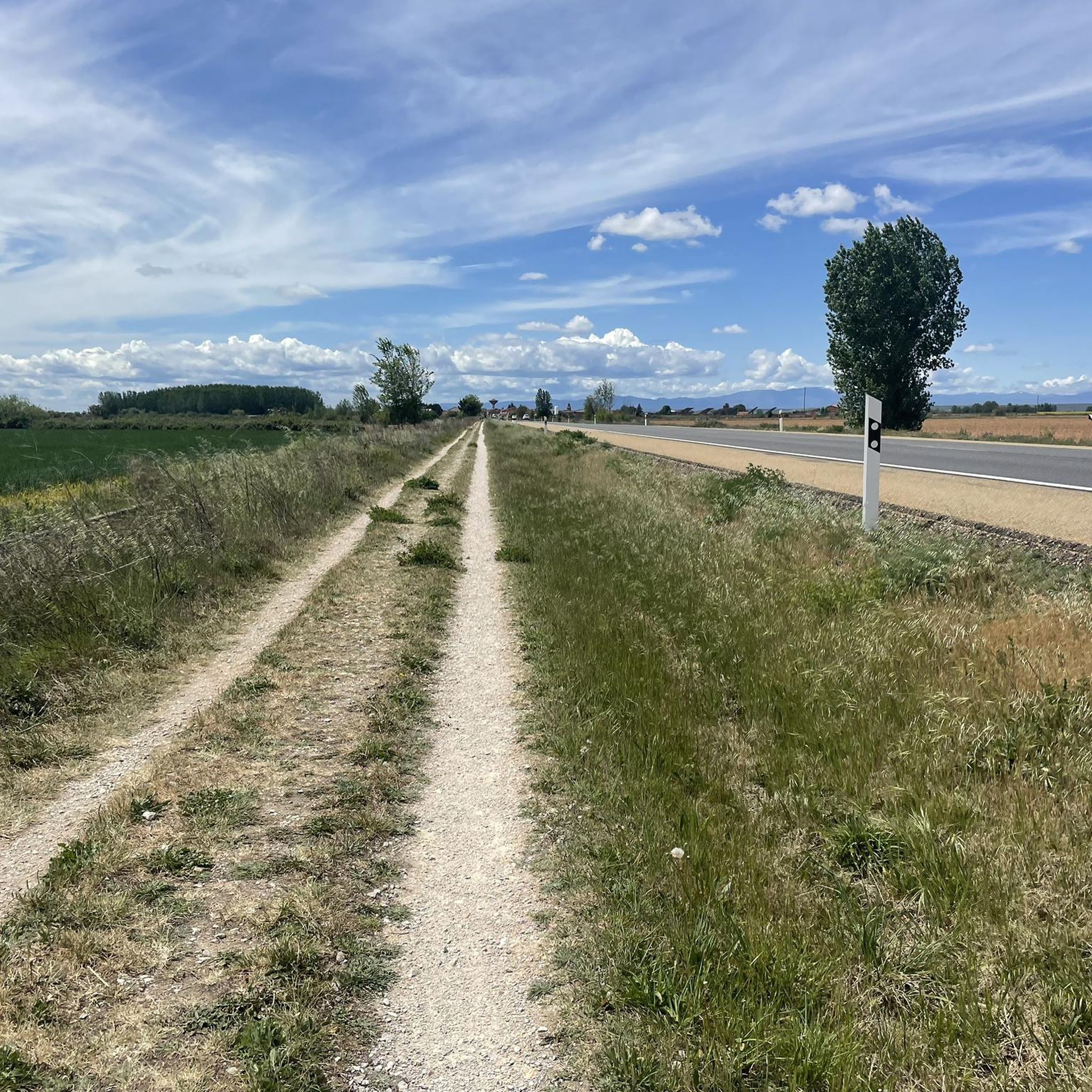
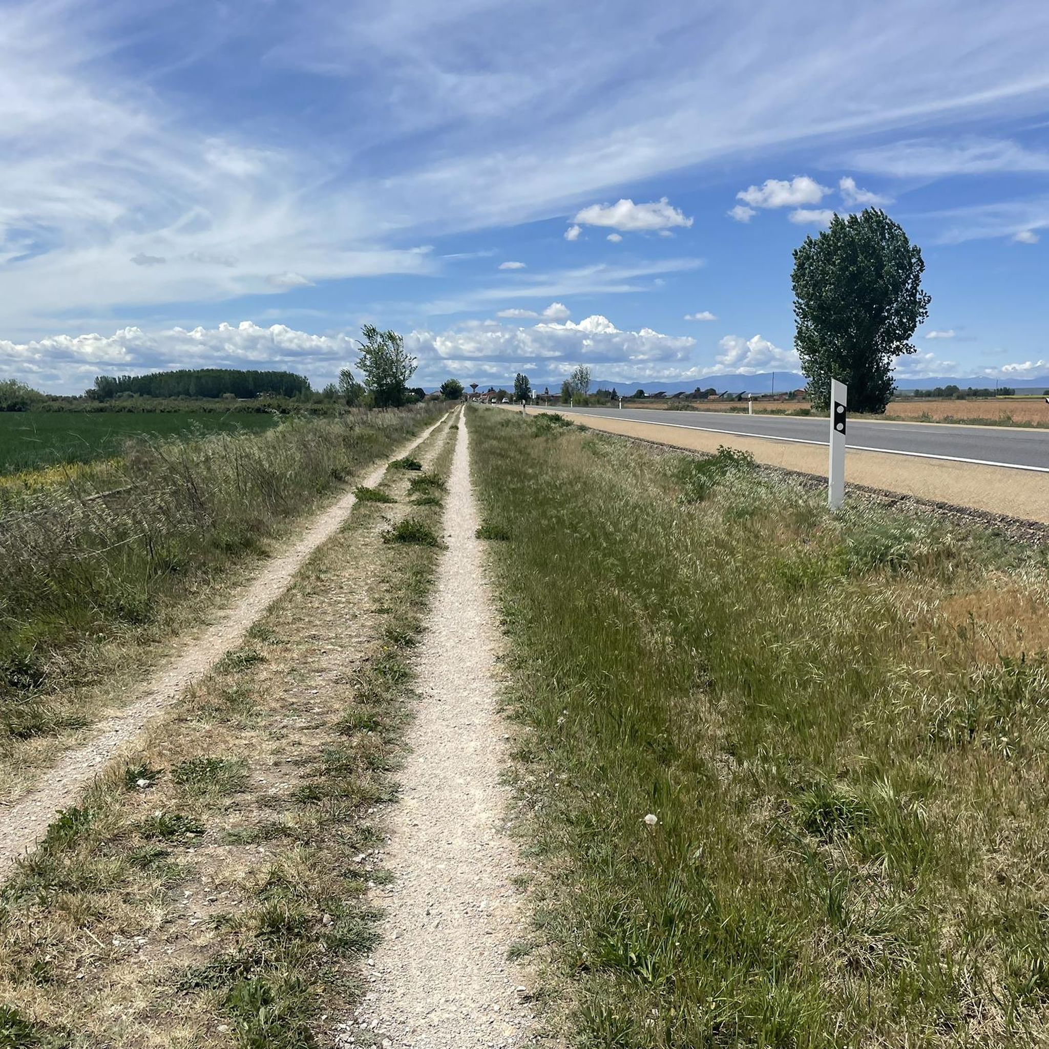
Small, discreet, and honest, as if it knows its role is to let you pass by unnoticed. San Miguel del Camino doesn't compete for attention: it offers calm, solid ground, and that rare feeling of being exactly where you're meant to be. A place that isn't remembered for what it has, but for how it lets you move on.
0
0
Don't miss the storks' nests located on the bell towers at the beginning and end of the bridge. Enjoy good coffee and a Spanish omelet just before crossing it on the right.
1
0
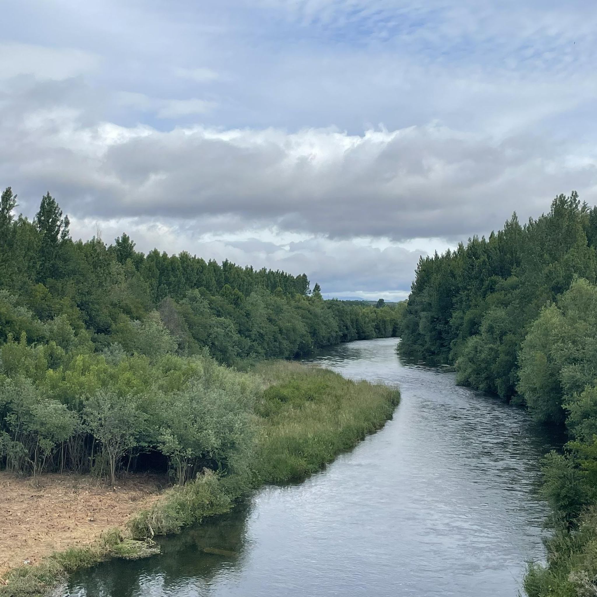
Long, made of stone, and with the memory of eternal passage. Here, time stretches arch by arch, and each crossing feels like a small ritual. You don't need to know anything about the past to feel it: simply roll (or walk) slowly and let the bridge do its work, which isn't to take you to the other side, but to leave you inside for a moment.
1
0

I have the Mayor's guard.
0
0

This is an old defensive structure located on the banks of the Órbigo River, now in ruins but of great scenic and historical value. Its remains stand among fields and rural roads, making it a highly recommended stop on MTB or gravel routes in the area. Access is easy via compacted dirt tracks and offers unobstructed views of the León surroundings. Ideal for a short photo break, especially if you're looking to combine leisurely riding with hidden heritage gems.
1
0
The church tower of Valverde de la Virgen is visible from several rural roads in the area, ideal as a landmark and cultural stop on MTB or gravel routes. Its slender and sober silhouette stands out among the open landscape of León. Access by bike is easy, with paved terrain or compacted tracks depending on the approach to the route. It's a good excuse to stop, take a photo, and recharge your batteries before continuing on to destinations such as La Virgen del Camino or San Miguel del Camino. A good place to combine culture, easy riding, and plateau scenery.
0
0

This small, stone-built sacred monument, located in a highly exposed location, is named after "Santo Toribio." The cross, which rises above a multi-tiered base and a round column shaft, is dedicated to this 5th-century saint. The custom of placing a stone – actually common at the "Cruz de Ferro" – seems to have become established here as well. Besides the religious aspect, a stop on this hill is also worthwhile for the view; Astorga is about five kilometers away.
0
0
Frequently Asked Questions
What kind of terrain can I expect on mountain bike trails in Carrizo Plain National Monument?
The Carrizo Plain offers a unique mountain biking experience characterized by vast open grasslands and wide dirt roads. The terrain is largely suited for gravel bikes or cross-country mountain bikes. While most routes are on designated roads, some areas, like sections of the Caliente Ridge Trail, offer doubletrack with rolling hills that can transition to hard-pack dirt singletrack. Expect expansive views and a remote feel.
How many mountain bike trails are available in Carrizo Plain National Monument?
There are over 25 mountain bike trails around Carrizo Plain National Monument, offering a wide range of options for exploration. These routes are primarily on wide dirt roads, providing extensive opportunities to experience the monument's unique landscape.
What is the best time of year to go mountain biking in Carrizo Plain National Monument?
The best times for mountain biking in Carrizo Plain National Monument are typically the spring and fall. These 'shoulder seasons' help riders avoid the intense summer heat or winter cold and strong winds. Spring is particularly spectacular for its potential wildflower superblooms, which can transform the landscape into vibrant colors. Be aware that unimproved dirt roads can become impassable when wet.
Are there any family-friendly mountain bike trails in Carrizo Plain National Monument?
Many of the trails in Carrizo Plain National Monument are on wide, open dirt roads, which can be suitable for families looking for a less technical ride. With 6 easy routes available, there are options for those seeking a more relaxed experience. The remote nature means families should be self-sufficient with water and supplies.
Can I bring my dog on the mountain bike trails in Carrizo Plain National Monument?
While the Carrizo Plain National Monument is generally dog-friendly, it's important to keep dogs on a leash to protect the abundant wildlife, including endangered species. Always check specific trail regulations, as some sensitive areas might have restrictions. Given the remote nature and potential for extreme temperatures, ensure your dog has plenty of water and is accustomed to long rides.
What natural features or landmarks can I see while mountain biking in Carrizo Plain National Monument?
Mountain biking in Carrizo Plain National Monument offers views of several significant natural features. You can observe the visible traces of the San Andreas Fault, including dramatic geological formations like ridges and ravines. The expansive Soda Lake, often appearing as a white salt flat, is a distinguishing feature. The Caliente and Temblor Mountains provide impressive backdrops, and the monument is renowned for its vast open grasslands and spectacular spring wildflower displays. Wildlife such as pronghorn antelope and tule elk are also frequently spotted.
What are some popular mountain bike routes in the Carrizo Plain area?
Some popular routes include Trails of the Kingdom – AP-66 Tunnel loop from Llamas de la Ribera, a 32.5-mile moderate trail with expansive views. Another favorite is Singletrack – AP-66 Tunnel loop from Monolito a los Caidos, an 18.7-mile route showcasing unique geological formations. The Alto de la Camparona – Venta de la Cruz loop from Parking Campo de Golf is also popular, leading through expansive grasslands.
What do other mountain bikers enjoy most about the Carrizo Plain National Monument?
The Carrizo Plain National Monument is highly rated by the komoot community, with an average score of 4.3 stars. Reviewers often praise the vast open grasslands, the sense of solitude, and the unique geological features like the San Andreas Fault. The opportunity to witness spectacular wildflower superblooms in spring is also a frequently highlighted aspect.
Are there any circular mountain bike routes in Carrizo Plain National Monument?
Yes, many of the mountain bike routes in the Carrizo Plain National Monument are designed as loops, allowing you to start and end at the same point. Examples include the Trails of the Kingdom – AP-66 Tunnel loop from Llamas de la Ribera and the Alto de la Camparona – Venta de la Cruz loop from Parking Campo de Golf, which are popular choices for exploring the area.
What should I know about services and amenities when planning a mountain bike trip to Carrizo Plain National Monument?
Carrizo Plain National Monument is very remote. There are no services like fuel, food, or water within 70 miles, and cell service can be limited. Riders should be entirely self-sufficient, carrying all necessary supplies, including ample water, food, and repair kits. Dispersed camping is permitted in certain areas, offering multi-day exploration opportunities.
Are there any specific permits required for mountain biking in Carrizo Plain National Monument?
Generally, no specific permits are required for mountain biking on designated public roads within Carrizo Plain National Monument. However, bikes must stay on these designated roads and are prohibited on most walking trails, such as those to Painted Rock and the Soda Lake Boardwalk. For detailed regulations and maps, it's advisable to consult official sources like the Bureau of Land Management (BLM). You can find more information on their website: blm.gov/visit/carrizo-plain-national-monument.
Most popular attractions around Carrizo

Get inspired with the komoot mobile app


Explore more
Browse the best MTB trails in other regions.
