The 20 Most Amazing Peaks around Sabiñánigo
Best mountain peaks around Sabiñánigo are found in the province of Huesca, serving as a gateway to the Aragonese Pyrenees and pre-Pyrenean ranges. This region offers diverse mountain environments, catering to various fitness levels. The area combines natural beauty with a range of trails for exploration. Visitors can find both moderate hikes and challenging high-altitude expeditions.
Best mountain peaks around Sabiñánigo
- The most popular mountain peaks is Peña Oroel Summit and Cross, a summit that features a large iron…
Last updated: July 7, 2026
Beautiful Abandoned Sanctuary of San Urbez
Highlight • Religious Site
Translated by Google •
Tip by

Peña Oroel Summit and Cross
Highlight • Summit
The silhouette of this mountain presides over the Aragón valley and stars in all …
Translated by Google •
Tip by

Sign up now to discover places like this
Get recommendations on the best single tracks, peaks, & plenty of other exciting outdoor places.
Sign up for free
Pico Anayet
Highlight • Summit
Translated by Google •
Tip by

Views of Anayet and its mountain lakes
Highlight • Viewpoint
Translated by Google •
Tip by
GR-11.1 Trail
Highlight • Trail
Translated by Google •
Tip by
Sign up for free to discover even more peaks around Sabiñánigo.
Sign up for free
Already have an account?
Start today with a free account
Your next adventure awaits.
Login or Signup
Popular around Sabiñánigo
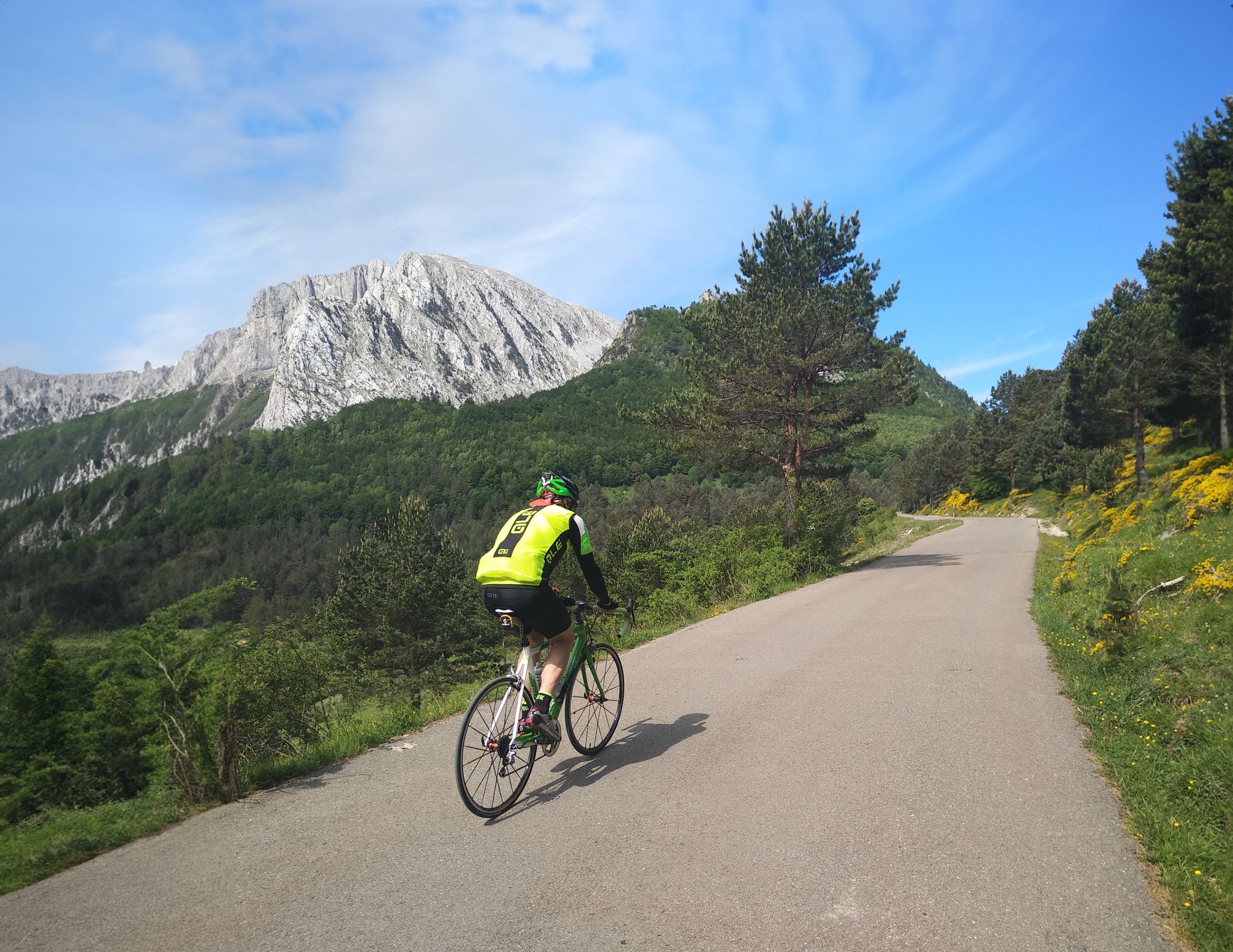
The Bay of Biscay to the Mediterranean — southern Pyrenees cycle tour
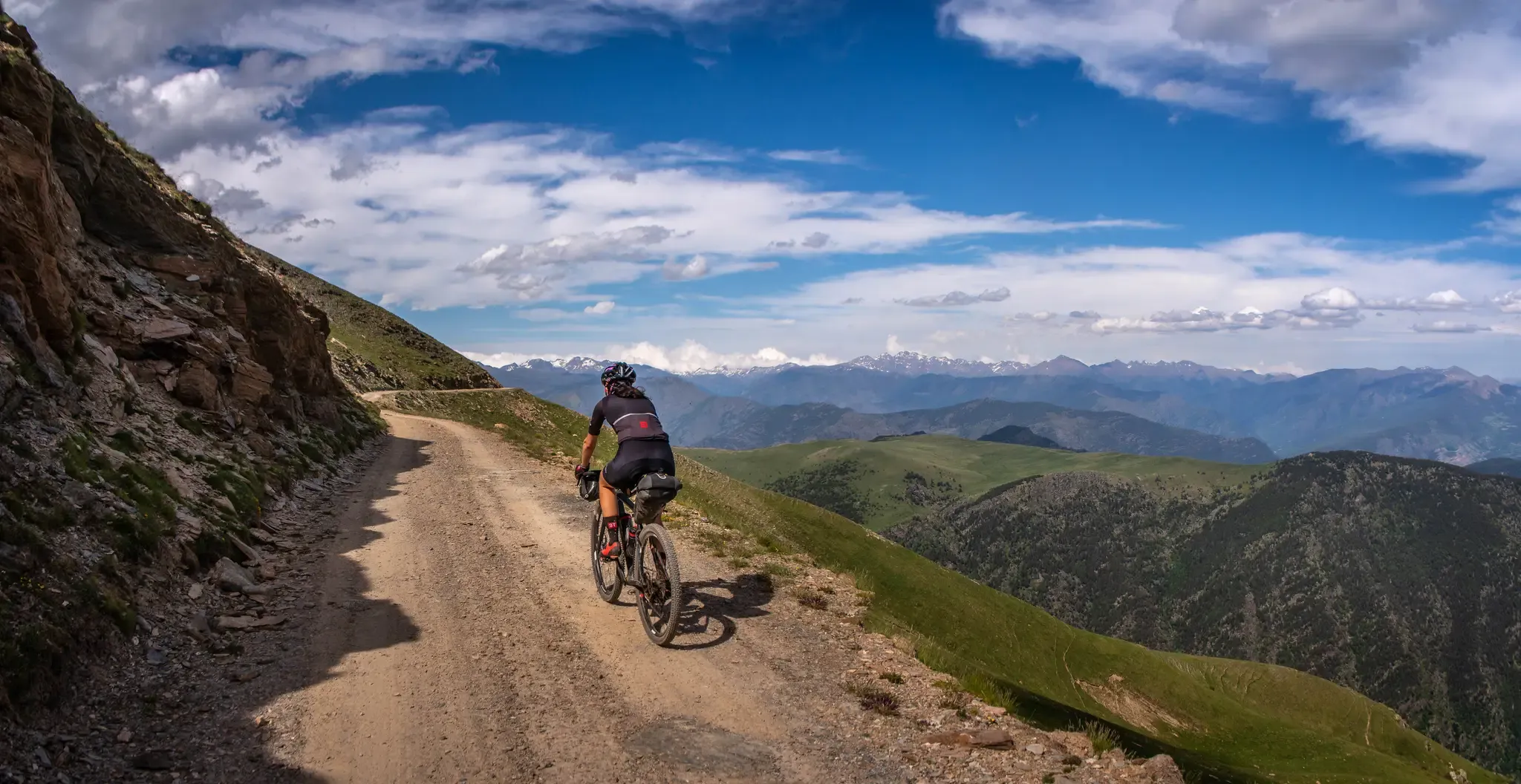
A high-altitude journey – Transpirenaica MTB
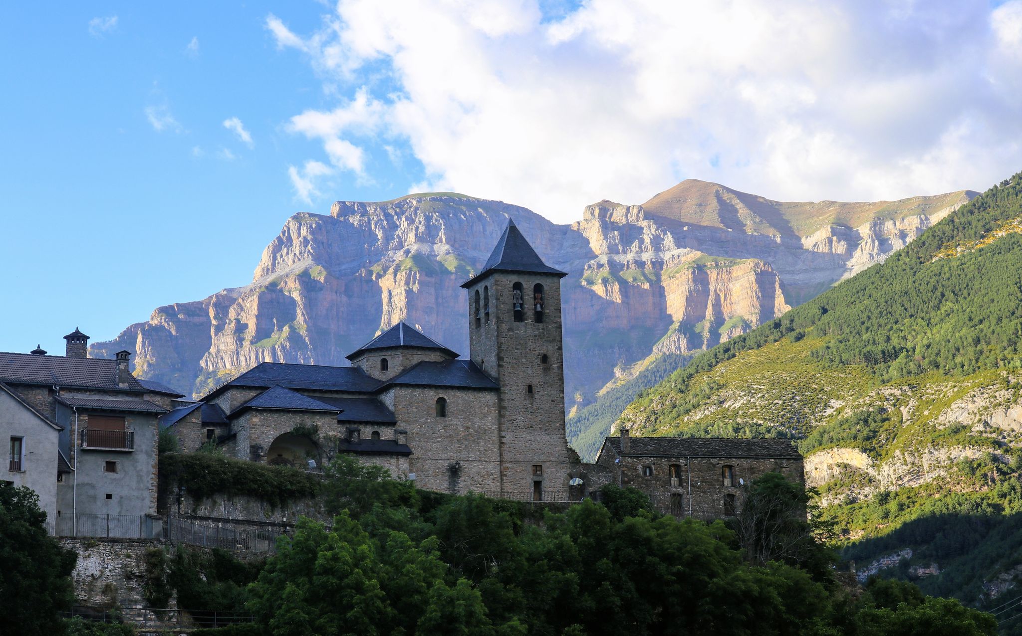
Between summits and villages – magical Pre-Pyrenees Trail (GR 15)
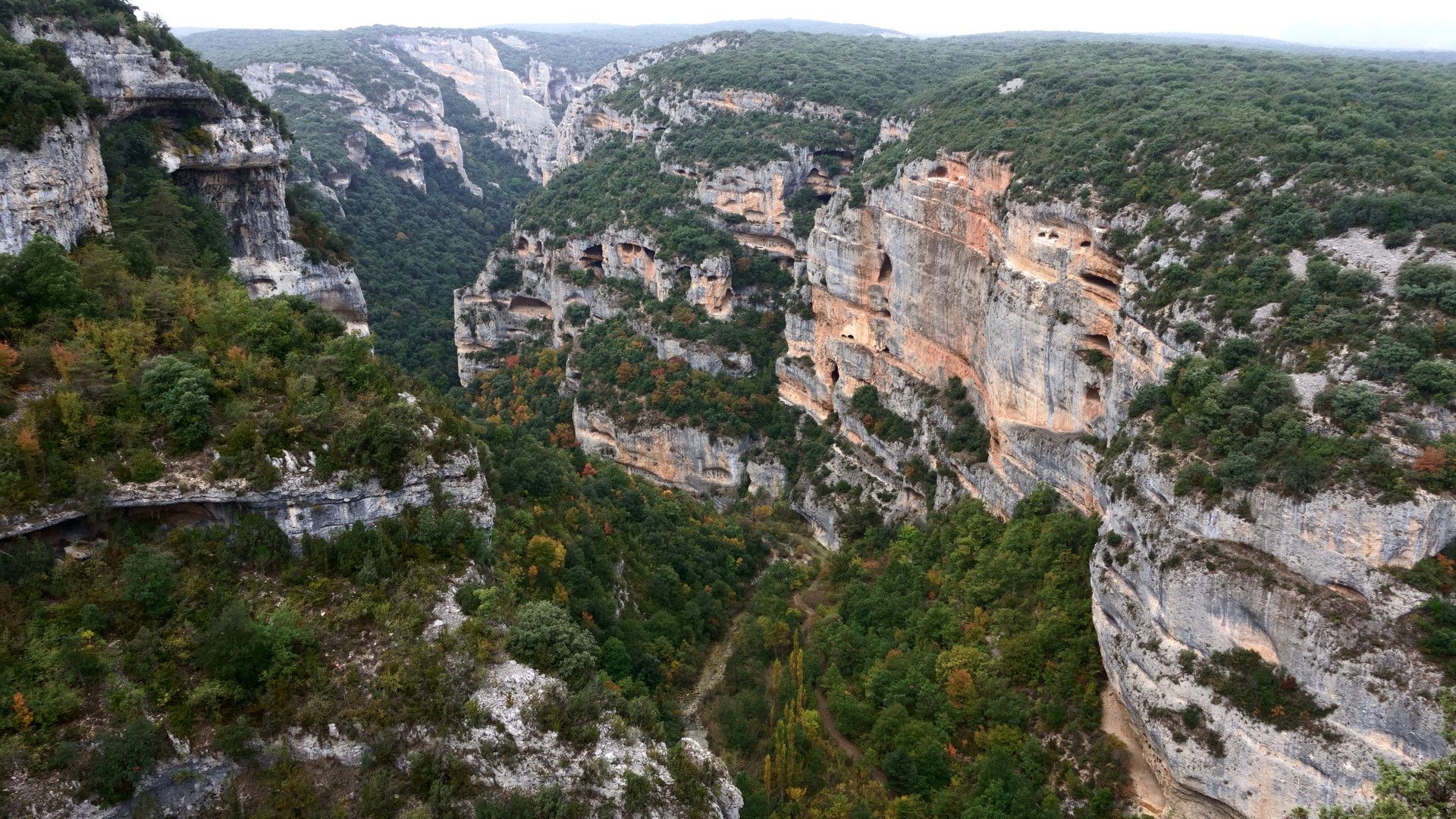
Trails and paths – Sierra de Guara and Biello Sobrarbe
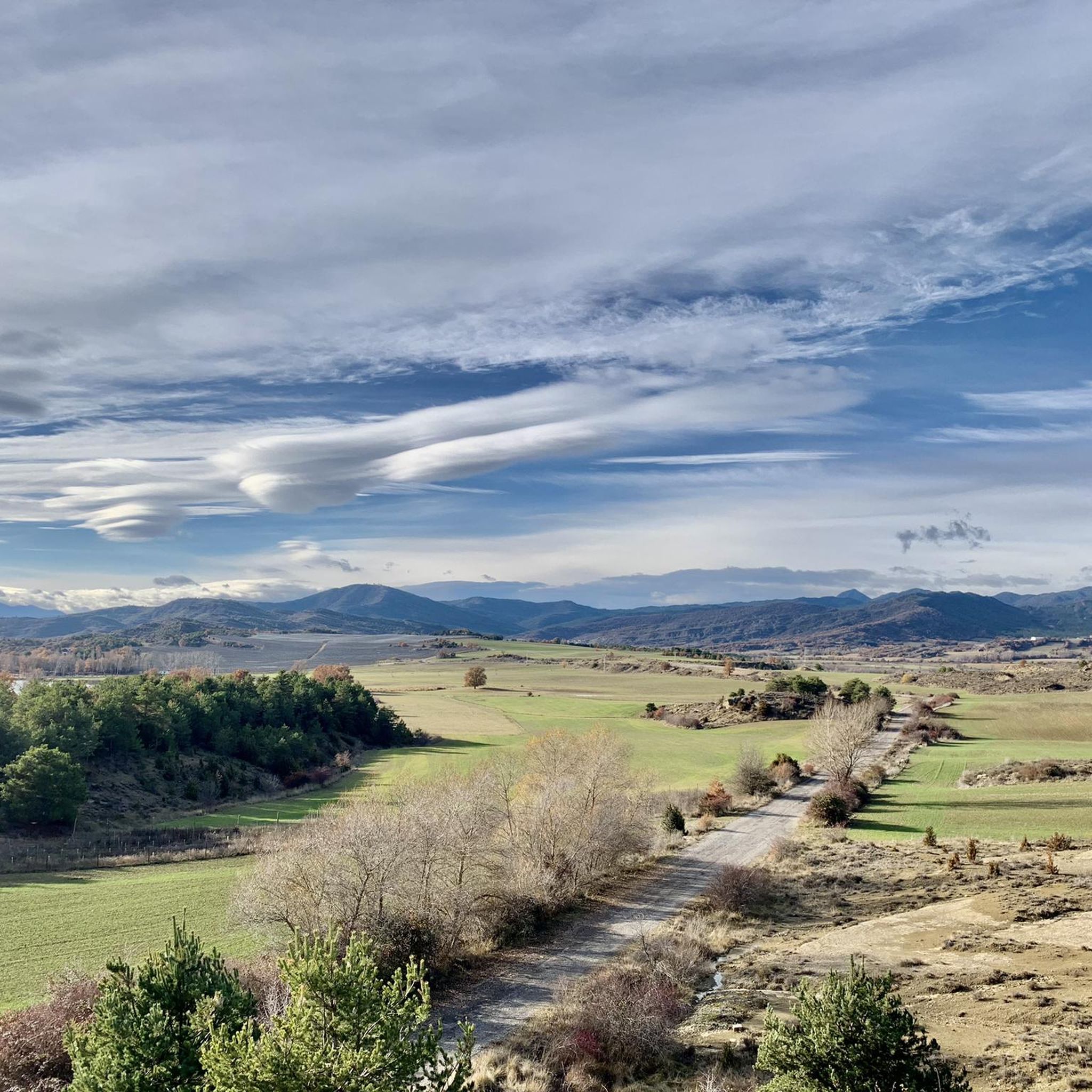
Road Cycling Routes around Sabiñánigo
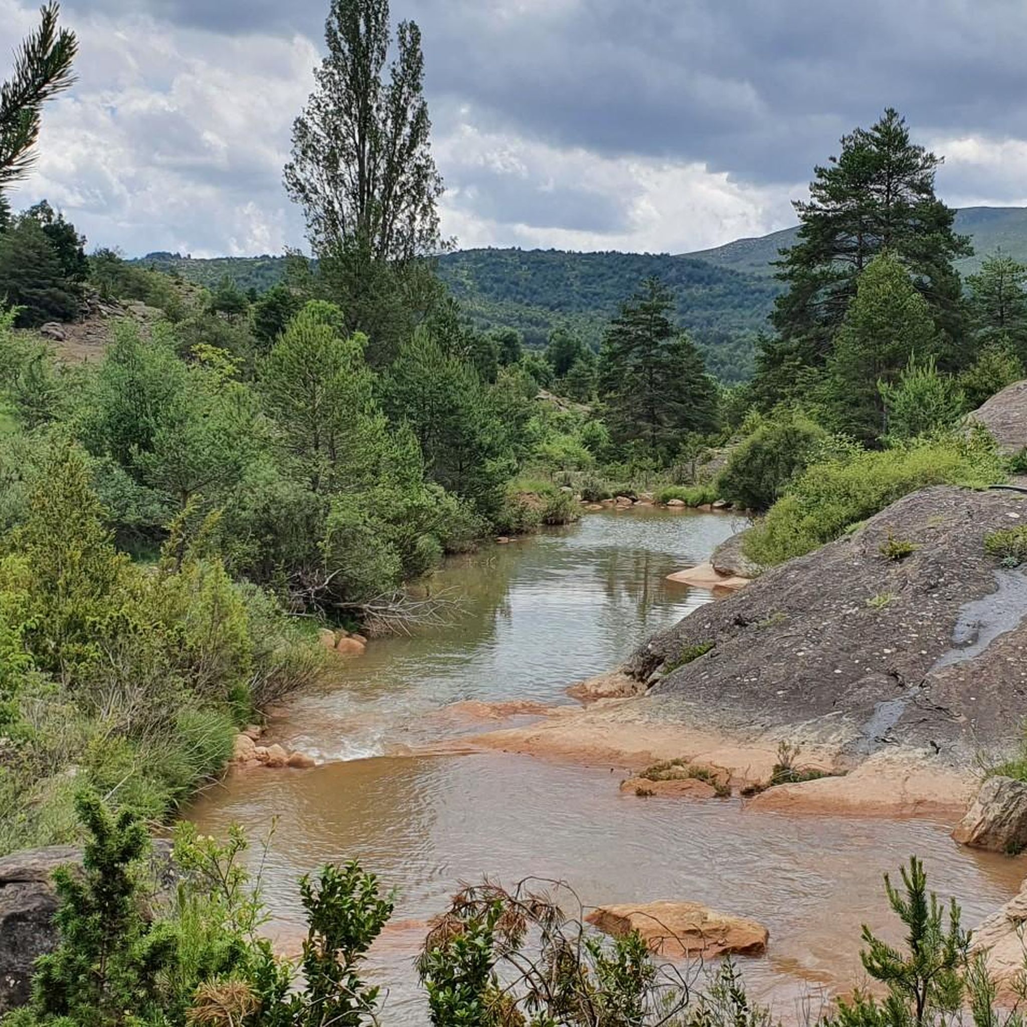
Cycling around Sabiñánigo
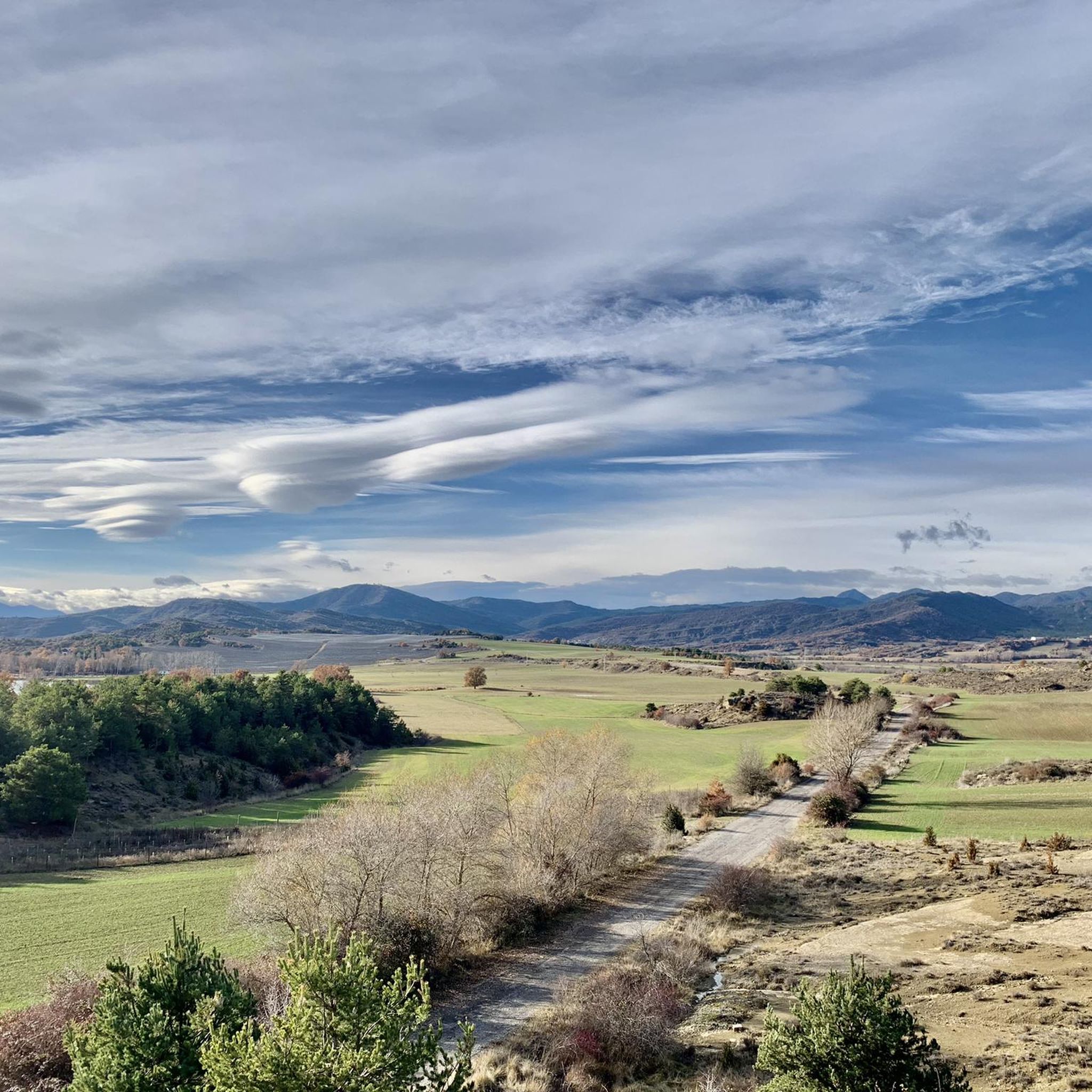
MTB Trails around Sabiñánigo
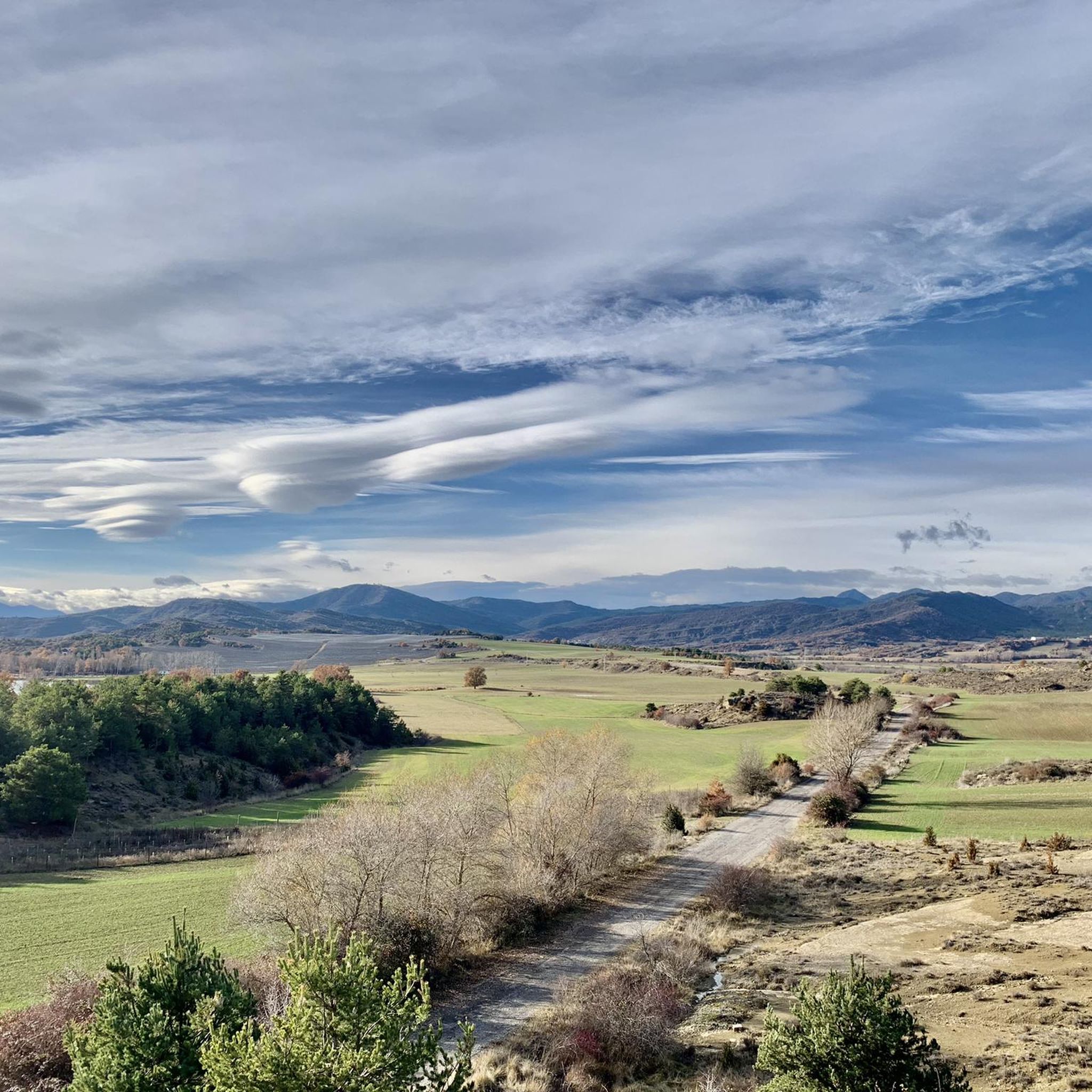
Hiking around Sabiñánigo

Gravel biking around Sabiñánigo
Running Trails around Sabiñánigo
Other adventures around Sabiñánigo


Tips from the Community

All of Guara is spectacular. The sanctuary has beautiful views of the Tozal de Guara.
1
0

The village of Canfranc is a street with houses on either side, there is no room for much else, the mountain slopes grow from the banks of the Aragón River and do not stop until they exceed two thousand metres in altitude, the valley is a perfect mountain architecture. In the square there is a bar and there is the church of the Assumption, from the 12th century, rustic and rural, a traditional landmark of asylum and protection for the pilgrims from Santiago de Compostela who passed through the Somport pass on their way to Jaca. In another building there is the mountain hostel and little else, there are several tourist accommodations but Canfranc is still a quiet mountain village, isolated from the bustle generated by the alpine ski resorts in the upper part of the valley, it is stuck in time. A good place to start the track is the church square, you have to cross the French road that goes up towards Canfranc-Estación and look for the GR-11.1 post at the beginning of the path of the Gabardito sheepfold. The path is fabulous, it doesn't seem like there could be a path with a pleasant layout in a forest wall of inhospitable and inaccessible appearance. The path climbs between walls of moss-covered stones and mountain huts along the Arones ravine, crosses the stream by a dam regulating the stream and marks several switchbacks on the slope of boxwood and fir trees until the Villanúa track. At the crossroads there are signs for the local trails and the GR-11.1 towards Gabardito and Lizara. The route in winter is ideal for walking on snowshoes.
0
0

From this point of the GR11 you can enjoy idyllic views of the high mountains. On one side, the peaks of Anayet, vertex (2,540) and peak (2,574 meters) and on the other, the Anayet lakes. In addition, in the background, to the north, the silhouette of the summit of the Midi d'Ossau also rises, so unmistakable. It is a spectacular place to stop to rest but, beware, it is better not to swim. On the one hand because there may be leeches and, on the other, because the Aragonese lakes are protected and our sun creams and deodorants can damage the water and its ecosystems.
0
0

This 2,545m high peak is actually a volcano with only the chimney remaining, like its famous neighbor the Midi d'Ossau. This whole area is the remains of a large and old volcanic caldera.
0
0
The Anayet peak is the remains of a primitive volcanic python created during the Hercynian orogeny, when successive magma explosions and eruptive convulsions originating in the interior of the earth created the unique colored reliefs that form the Anayet cirque, a large depression created by glacial modeling between two large Pyrenean basins. The northern ibón of Anayet pours the water towards Canal Roya and reaches the Aragón River, in the Canfranc Valley. And the water from the southern ibón is a tributary of the Gállego River, in the neighboring Tena Valley.
3
0
"La" Peña de Jaca, one of those pre-Pyrenean mountains that make you turn your back on the Pyrenees and that protects the city from its omnipresence. Sooner or later you will walk or run up it.
0
1
It is difficult to find a person from Jaca who has never climbed the Oroel rock. The silhouette of this mountain presides over the Aragón valley and stars in all the postcards of the city. At its top, at 1769 meters high, there is a large iron cross of 10.4 meters. It was built in 1901 with the aim of being visible from Jaca and was paid for with donations from the residents themselves.
2
0

A beautiful abandoned monastery with incredible views and a very interesting story: The monastery must have been founded at the beginning of the 8th century, before the Muslim invasion. In the seventeenth century it was renovated and expanded transforming the previous Romanesque church. The current sanctuary is formed by the church with a Latin cross plan with three naves. The central and lateral nave are covered by vaults of lunettes. The tower, low in height, stands next to the access. In front of the sanctuary stands the main door, of Renaissance style, carried out in 1701. It is made up of a huge atrium with open access on three sides by means of semicircular arches. On one side there is a small square where the most picturesque façade stands, in front of a viewpoint with an unbeatable view of the Tozal de Guara. The life of San Úrbez was agitated. He was born in Bordeaux around the year 702 and moved to settle as a hermit and shepherd in Alto Aragón. He took the habits in San Martín de la Val de Onsera, in whose humble monastery he intended to retire. But after a long stay there, the bishop of Huesca ordained him a priest and sent him to Nocito as a priest. He was fulfilling his mission but living on the outskirts, in a cave near the monastery. He died in 802, when he was 100 years old. The relic of San Úrbez deposited in this sanctuary was the most complete since it had the mummified body of the saint in which his beard and hair could be appreciated. Here the relics were deposited until in 1936 they were thrown into a bonfire during the civil war. More information: https://www.joreate.com/tag/santuario-san-urbez/ Architectural information: http://www.sipca.es/censo/1-INM-HUE-006-163-011/Santuario/de/San/%C3%9Arbez.html#.YDThMJNKjUI
0
0
Frequently Asked Questions
What are some challenging mountain peaks for experienced hikers near Sabiñánigo?
For experienced hikers seeking a challenge, Tozal de Guara, the highest peak in the Sierra de Guara Natural Park, offers a hard hike with breathtaking panoramic views of the Aragonese Pyrenees. Another highly emblematic peak for experienced adventurers is Anayet, known for its stunning alpine scenery and glacial lakes, often accessed via the GR11 trail.
Are there moderate hiking options to experience the mountains around Sabiñánigo?
Yes, Punta de la Selva offers a moderate hiking loop accessible directly from Sabiñánigo, known as the 'Shepherd's Path'. This route typically involves a 13.4 km trek with an elevation gain of around 510 meters, providing an accessible way to enjoy the local mountainous terrain. You can find more moderate routes in the Hiking around Sabiñánigo guide.
What historical or cultural sites can I find among the mountain peaks?
The region features several significant historical sites. You can visit the Beautiful Abandoned Sanctuary of San Urbez, a religious building with a rich history dating back to the 8th century, offering panoramic views of the Tozal de Guara. Another notable site is the Iguácel Hermitage, a Romanesque church set in an idyllic natural environment, perfect for a break.
Where can I find the best viewpoints of the Pyrenees near Sabiñánigo?
For spectacular high-mountain views, head to the Views of Anayet and its mountain lakes viewpoint. From here, you can see the peaks of Anayet, its glacial lakes, and the distinctive silhouette of Midi d'Ossau in the background. The Beautiful Abandoned Sanctuary of San Urbez also offers unbeatable views of the Tozal de Guara.
What is the most iconic mountain landmark visible from Jaca?
The most iconic mountain landmark is Peña Oroel Summit and Cross. Its silhouette presides over the Aragón valley and is a prominent feature visible from Jaca. At its summit, at 1769 meters high, stands a large iron cross built in 1901.
Are there any glacial lakes to see in the mountains near Sabiñánigo?
Yes, the area around Anayet is famous for its 'ibones' (glacial lakes). The Views of Anayet and its mountain lakes highlight provides an excellent vantage point to see these pristine high-mountain lakes. Please note that swimming in Aragonese ibones is discouraged due to ecological protection.
What other outdoor activities can I do near the mountain peaks around Sabiñánigo?
Beyond peak bagging, Sabiñánigo is an excellent base for various outdoor activities. You can explore numerous cycling routes, including challenging road cycling options like the 'Treparriscos Medio Fondo' or more moderate touring bicycle routes. Find detailed guides for these activities here: Road Cycling Routes around Sabiñánigo and Cycling around Sabiñánigo.
What do visitors appreciate most about the mountain peaks in this region?
Visitors highly appreciate the diverse mountain environments, which cater to various fitness levels, from moderate hikes to challenging high-altitude expeditions. The combination of natural beauty, such as panoramic views and glacial lakes, with historical sites like abandoned sanctuaries, offers a rich and rewarding experience. The region's highlights have received 11 upvotes and 3 photos from the komoot community.
Can I find long-distance hiking trails that pass through the Sabiñánigo mountain area?
Yes, the GR11 trail, a long-distance path, passes through the high mountains near Sabiñánigo, offering spectacular scenery around areas like Anayet. A section of this trail, the GR-11.1 Trail, is described as a fabulous path climbing between moss-covered stones and mountain huts along the Arones ravine.
Are there any specific tips for visiting the historical sites in the mountains?
When visiting historical sites like the Beautiful Abandoned Sanctuary of San Urbez or the Iguácel Hermitage, take time to appreciate their unique architecture and the stories behind them. The Sanctuary of San Urbez, for instance, has a fascinating history dating back to the 8th century, with a renovated 17th-century church. The Iguácel Hermitage is a Romanesque church in an incredible natural setting, perfect for a peaceful break.
What kind of terrain can I expect on mountain hikes near Sabiñánigo?
The terrain varies significantly. For peaks like Tozal de Guara, expect challenging ascents over rugged ground. Moderate hikes, such as the 'Shepherd's Path' to Punta de la Selva, involve well-defined trails with steady elevation gains. High-mountain areas like Anayet feature alpine terrain with rocky paths and glacial features. The region offers everything from forest paths to exposed mountain ridges.
Most popular routes around Sabiñánigo
Most popular attractions around Sabiñánigo

Get inspired with the komoot mobile app


Explore more
See even more amazing summits around Sabiñánigo with these guides:
