The best running trails around Palenciana
5.0
(3)
10
runners
26
runs
Jogging around Palenciana, a municipality in Córdoba, Spain, offers routes through the Subbética comarca. The landscape features the Genil River, the Malpasillo Dam, and natural reserves like Laguna de los Jarales. The terrain includes riverine paths, circular routes through natural areas, and trails winding through olive groves.
Best jogging routes around Palenciana
- The most popular jogging route is Genil River Meander Trail, a 2.7 miles (4.4 km) trail that takes about 30 minutes to complete. This easy route offers…
Last updated: June 26, 2026
1
runners
7.75km
00:58
180m
180m
Moderate run. Good fitness required. Mostly paved surfaces. Suitable for all skill levels.
1
runners
8.91km
01:05
260m
260m
Moderate run. Good fitness required. Mostly paved surfaces. Suitable for all skill levels.

Sign up for free
Moderate run. Good fitness required. Mostly accessible paths. Some sure footedness required.
15.7km
01:53
260m
260m
Hard run. Very good fitness required. Mostly paved surfaces. Suitable for all skill levels.
4.37km
00:30
30m
30m
Easy run. Great for any fitness level. Mostly paved surfaces. Suitable for all skill levels.
Get access to more routes and recommendations from other explorers.
Sign up for free
Already have an account?
Our route recommendations are based on thousands of hikes, rides, and runs completed by other people on komoot.
Start today with a free account
Your next adventure awaits.
Login or Signup
Tips from the Community

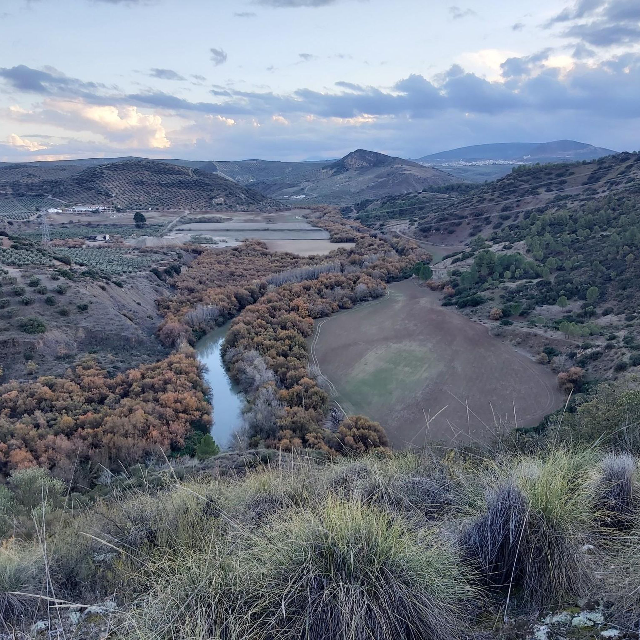
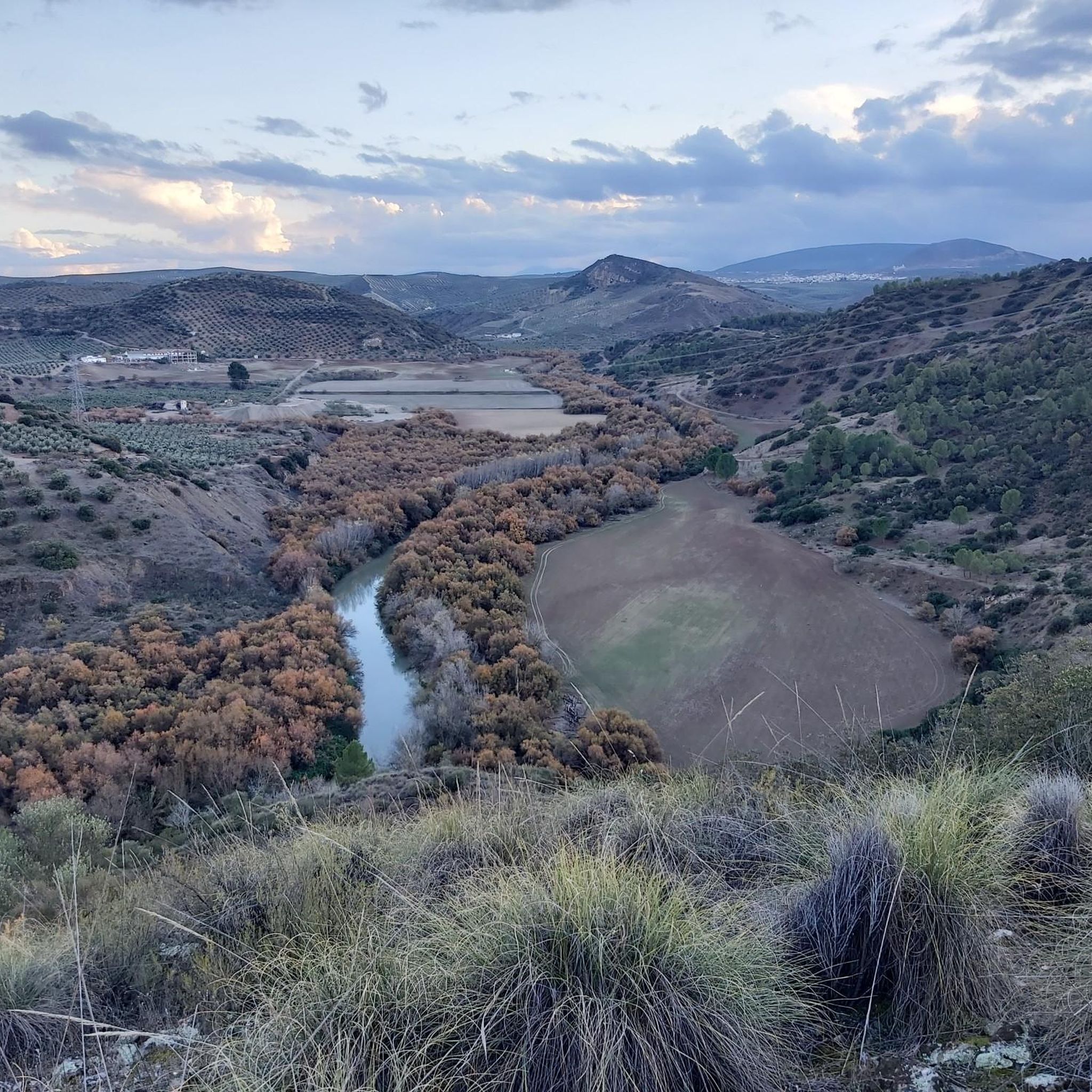
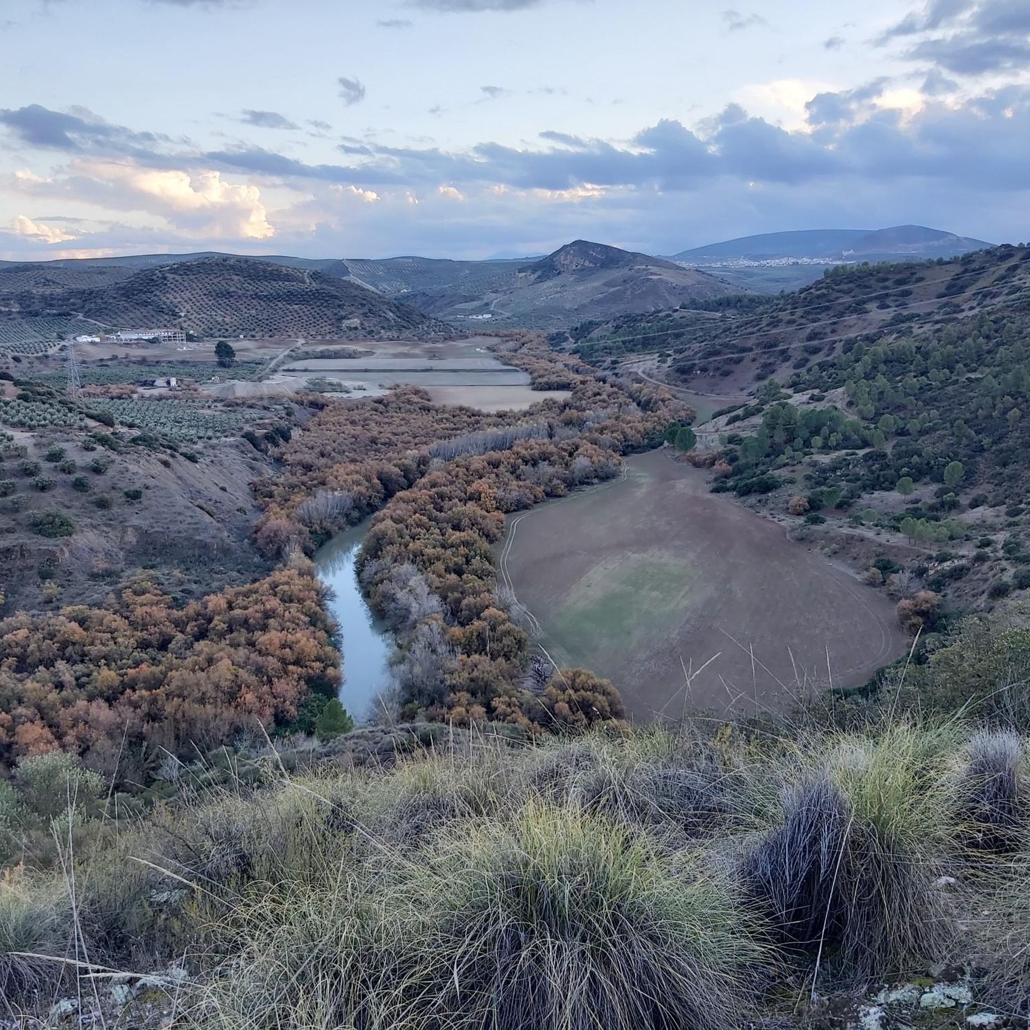
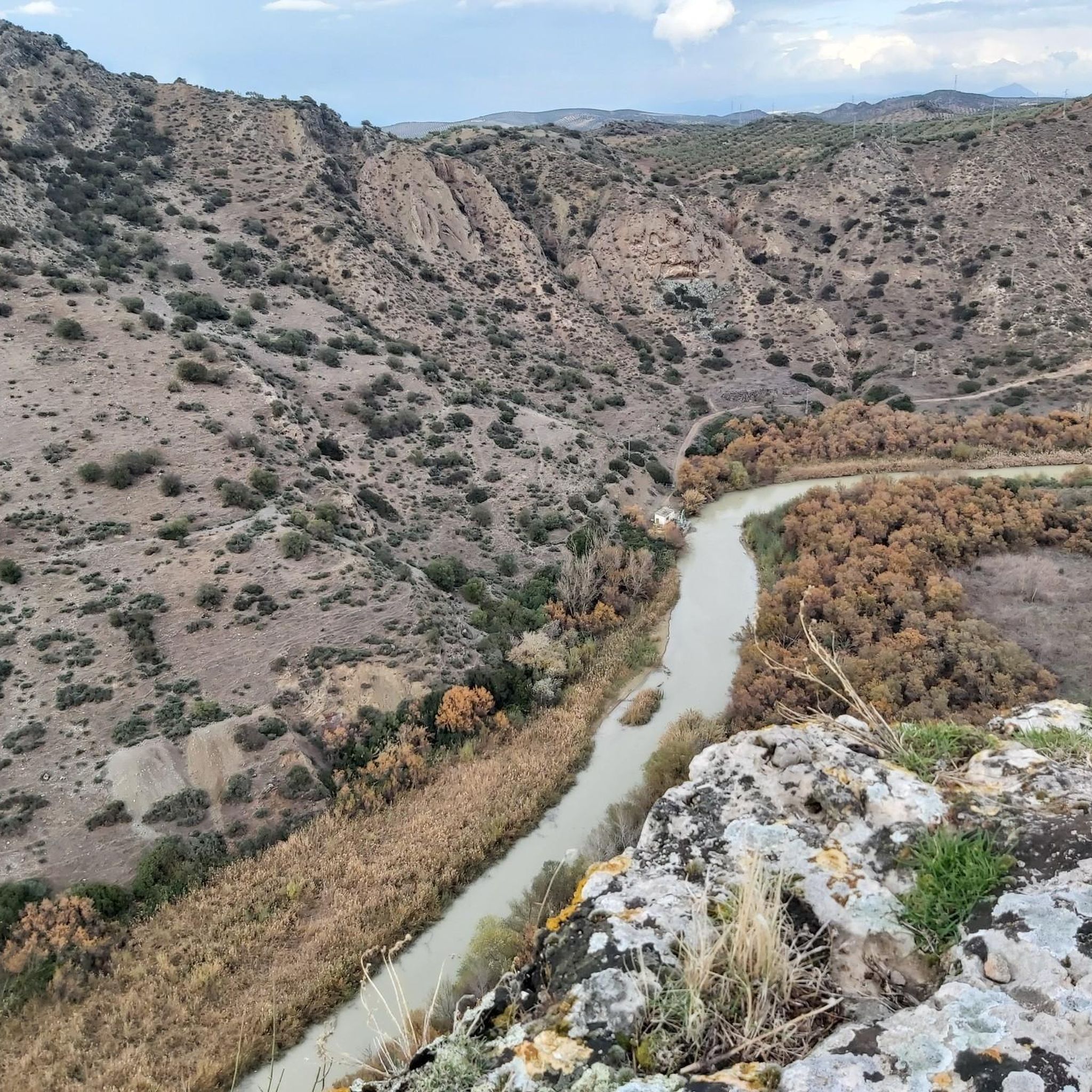
Beautiful views of the Malpasillo Reservoir and you can also see the continuity of the Río Genil!
0
0
Nucleus that is located above one of the terraces that the Río Genil has created in its passage through this area. Its church predominates in a landscape of olive fields that do not end on the horizon.
0
1
Bridge that crosses the Río Genil and which is beautiful even though it is for the passage of vehicles. As you move away, you see its huge arches touching the waters of the river itself.
0
0
From this point in the Río Genil valley and from the bottom, you can see the Castle of Gómez Arias on top of the mountain. beautiful valley
0
0
It is at this point where there is the break to go to see Laguna de los Jarales, which together with the other lagoon to the west of it, Laguna Amarga, form the Laguna de los Jarales Natural Reserve Protection Zone.
0
1
A population center located between the Ríos Genil and Ríos de Anzuro, where it is located on a small ridge on both sides of the river. The center is small with a spectacular Iglesia Parroquial de la Expectación.
0
1

View of the Malpasillo Dam on the Genil River on the outskirts of the town of Badolatosa. The slowing of the river creates a unique natural landscape and a habitat for wildlife. A great outdoor space for adventure.
1
0

A beautiful town that is the beginning of the 9. stage of the Camino de Santiago - Camino Mozárabe de Málaga. Near the Ermita del Calvario there is a free hostel for pilgrims. The keys are found at the local police office.
2
0
Frequently Asked Questions
How many running routes are available in Palenciana?
Palenciana offers a good selection of running routes, with over 25 options catering to various skill levels, from easy riverside runs to more challenging trails.
Are there easy running routes suitable for beginners in Palenciana?
Yes, Palenciana has several easy running routes. A great option is the Genil River Meander Trail, which is 2.7 miles (4.4 km) long with minimal elevation gain, offering a pleasant experience along the river and Malpasillo Dam.
What kind of terrain can I expect on the jogging trails in Palenciana?
The jogging routes in Palenciana feature diverse terrain, including riverine paths along the Genil River, circular routes through natural reserves, and trails winding through olive groves. Some paths are paved, while others may require sure-footedness.
Are there any circular running routes in Palenciana?
Yes, Palenciana offers several circular running routes. A popular choice is the Laguna de los Jarales — circular by the Protection Zone Natural Reserve Laguna de los Jarales, a moderate 7.6-mile (12.2 km) path through a natural reserve.
What natural features or landmarks can I see while running in Palenciana?
While running in Palenciana, you can enjoy scenic views of the Genil River and the Malpasillo Dam. Other notable natural features include the Genil River Meander and the Arroyo del Pontón gorge. You might also encounter the Views of the Malpasillo Dam and Genil River viewpoint.
Are there any longer, more challenging running routes for experienced runners?
For those seeking a more challenging run, routes like From Encinas Reales to Benamejí — circular by the Camino de los Olivares offer a difficult 9.8-mile (15.7 km) experience with significant elevation changes.
What do other runners enjoy most about jogging in Palenciana?
The running routes in Palenciana are highly rated by the komoot community, with an average score of 5.0 stars. Reviewers often praise the varied terrain, from river meanders to natural reserves and olive groves, offering options for all ability levels.
Are there any running routes that pass by historical sites or points of interest?
While the focus is on natural beauty, some routes may pass near local points of interest. For example, the Castillo de Gómez Arias — circular desde Benamejí route offers a moderate 5.5-mile (8.9 km) run that includes views of the historic Castillo de Gómez Arias.
Can I find running routes that are suitable for families with children?
Yes, many of the easier routes, such as the Genil River Meander Trail, are suitable for families due to their minimal elevation gain and mostly paved paths, providing a pleasant and accessible experience for all ages.
What is the best time of year to go running in Palenciana?
Palenciana's Mediterranean climate generally makes spring and autumn ideal for running, with milder temperatures. Summer can be very hot, so early mornings or late evenings are recommended if running during this season. Winter offers cooler, often pleasant conditions.
Are there any routes that offer views of the wider Subbética comarca?
Many routes in Palenciana provide glimpses of the beautiful Subbética comarca. Trails that venture into higher elevations or through natural reserves, such as the From Encinas Reales to Río Anzur — circular, will offer broader scenic vistas of the region's landscapes.
Most popular attractions around Palenciana

Get inspired with the komoot mobile app


Explore more
Browse the best Running Trails & Routes in other regions.
