The best walks and hikes around Olula De Castro
4.5
(20)
102
hikers
14
hikes
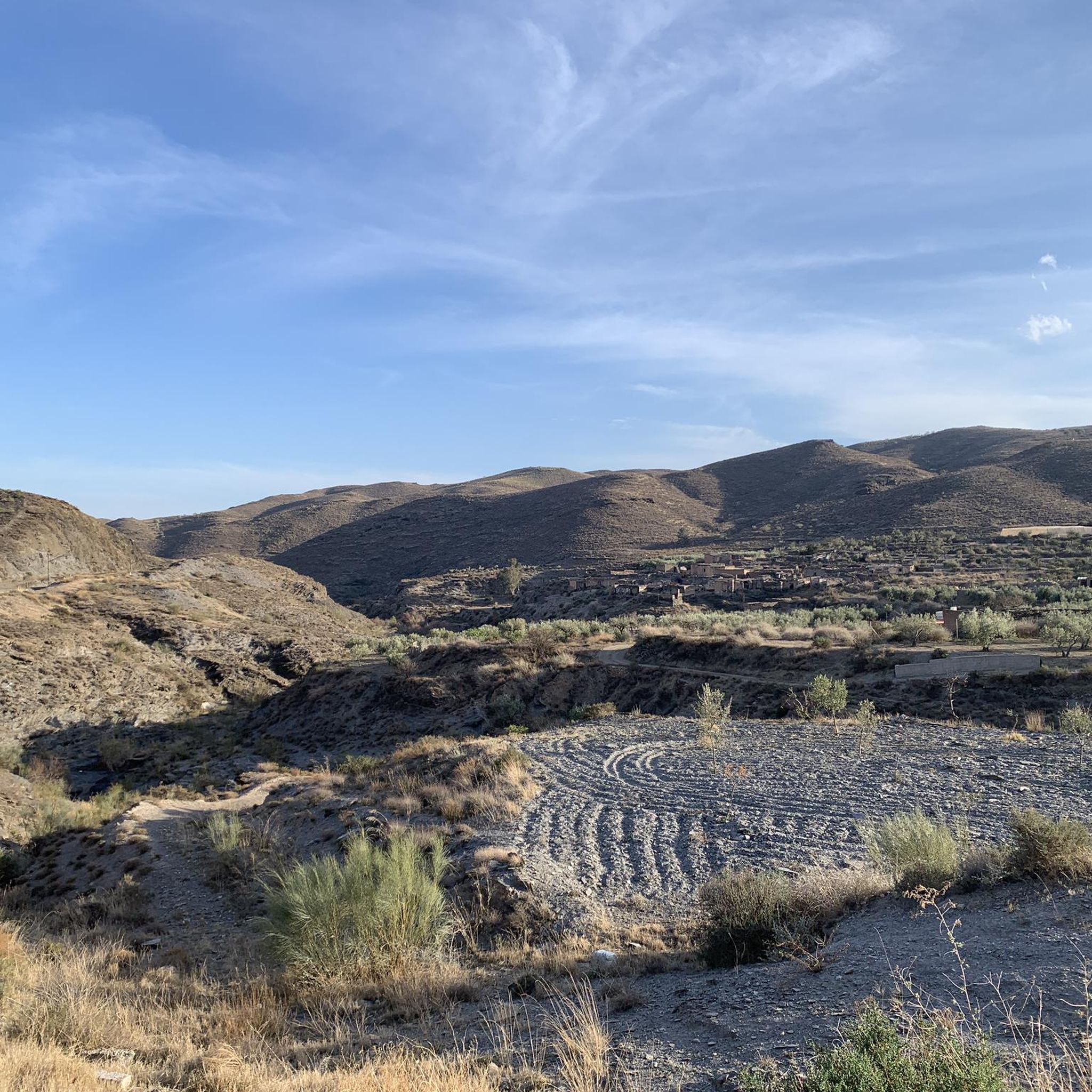
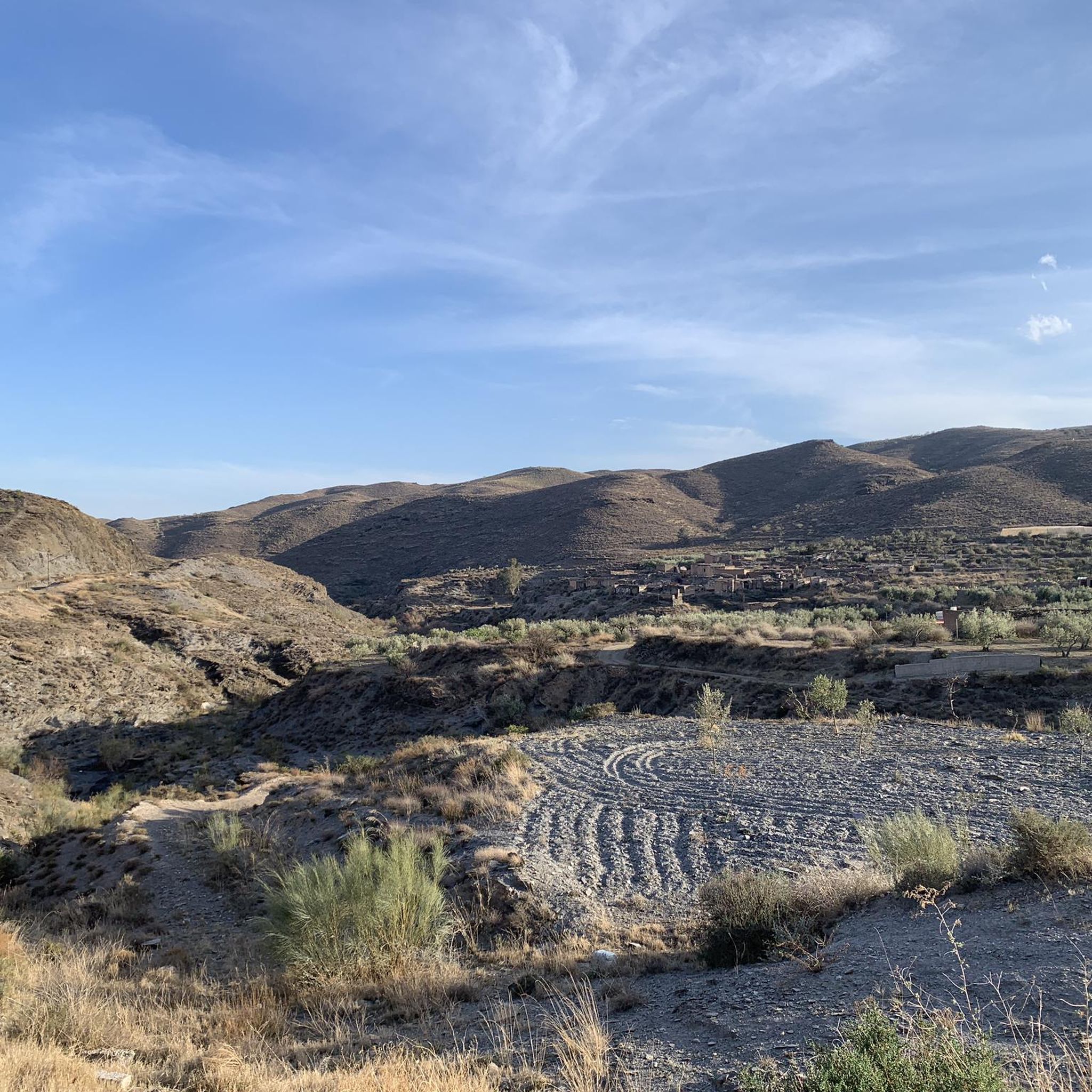
Hiking around Olula De Castro offers exploration within the Sierra de los Filabres mountain range, situated at an altitude of approximately 990 to 1010 meters. The landscape is characterized by mountainous terrain, featuring olive and almond groves. Traditional white houses and slate roofs blend into the natural scenery, providing a distinct visual element. The region provides a cooler climate during summer months compared to lower-lying areas.
Best hiking trails around Olula De Castro
- The most popular hiking route is Camping…
Last updated: October 7, 2026
4.8
(8)
26
hikers
6.57km
01:54
160m
160m
Easy hike. Great for any fitness level. Easily-accessible paths. Suitable for all skill levels.
5.0
(2)
9
hikers
Moderate hike. Good fitness required. Easily-accessible paths. Suitable for all skill levels.

12
hikers
4.87km
01:22
90m
100m
Easy hike. Great for any fitness level. Easily-accessible paths. Suitable for all skill levels.
3.5
(2)
10
hikers
14.4km
04:09
370m
370m
Moderate hike. Good fitness required. Easily-accessible paths. Suitable for all skill levels.
4.0
(1)
5
hikers
11.1km
03:27
440m
430m
Moderate hike. Good fitness required. Easily-accessible paths. Suitable for all skill levels.
Get access to more routes and recommendations from other explorers.
Already have an account?
Our route recommendations are based on thousands of hikes, rides, and runs completed by other people on komoot.
Start today with a free account
Your next adventure awaits.
Popular around Olula De Castro
Tips from the Community

If you are passing through the Sierra de los Filabres near the summit of Calar Alto, the Fuente La Merendera is an almost mandatory stop at 1882 meters above sea level. This spring is famous for its fresh water that gushes from the metamorphic rocks of the mountains. Officially, there is a sign warning that it is not drinkable, but that does not stop locals and many passers-by from queuing with jugs, attracted by its water. Although, it is a good idea to filter the water before drinking it. If you need a long break, just across the road you will find a recreational area complete with tables, barbecues, and a viewpoint with spectacular views.
1
0
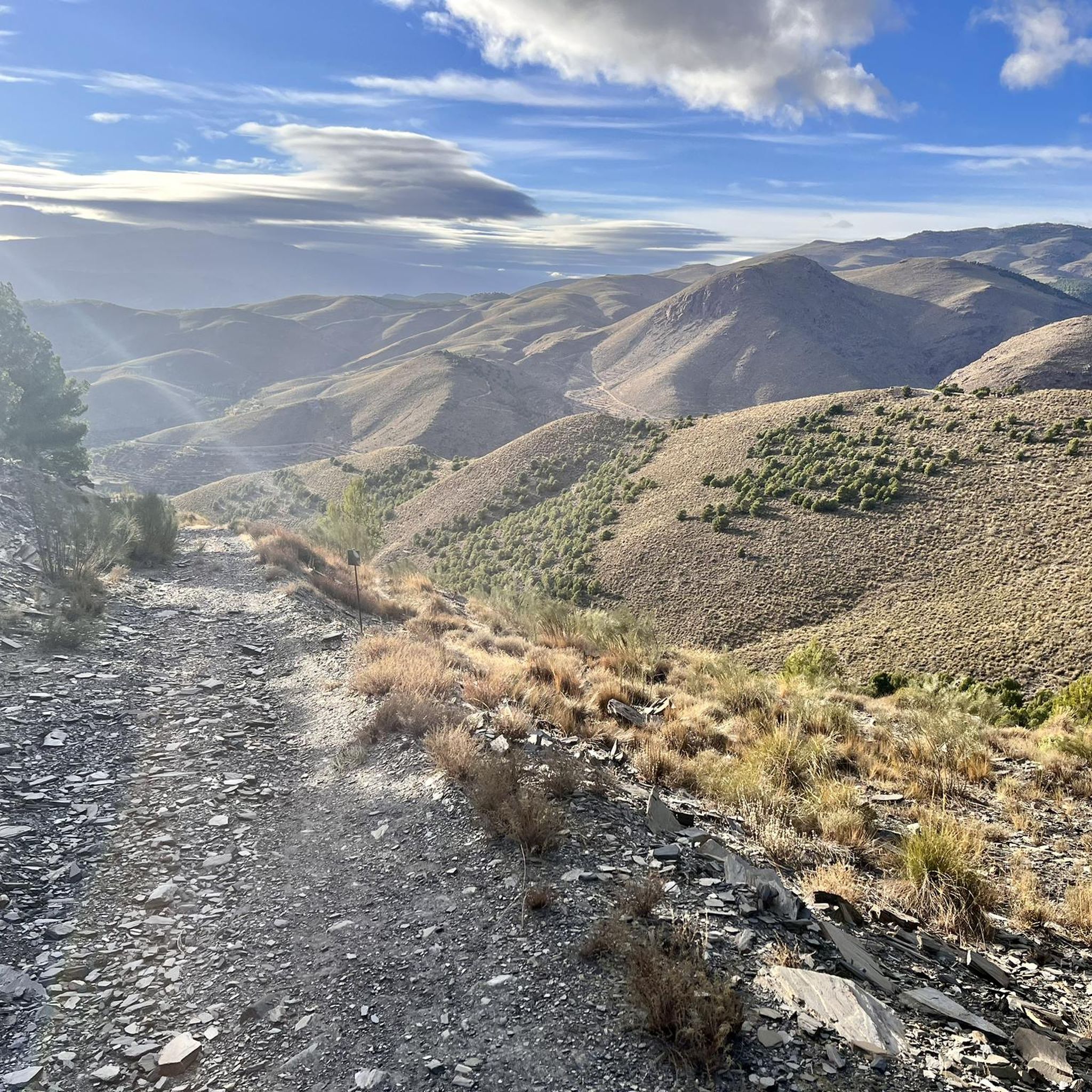
This route through Calar Alto is a wide and well-maintained trail, ideal for walking comfortably while enjoying the numerous viewpoints that offer spectacular views of the sierra. Also, keep your eyes peeled because this area is famous for the high possibility of spotting wildlife, especially the majestic ibex. It is important to note that there are sections with little or no shade, so make sure to bring sun protection and enough water for the journey.
0
0
If you are passing through the Sierra de los Filabres near the summit of Calar Alto, the Fuente La Merendera is an almost mandatory stop at 1882 meters altitude. This spring is famous for its fresh water that gushes from the metamorphic rocks of the sierra. Officially there is a sign warning that it is not potable, but that does not stop locals and many passers-by from queuing with canisters, attracted by its water. However, it is a good idea to filter the water before drinking it. If you need a long break, just across the road you will find a recreational area complete with tables, barbecues, and a viewpoint with spectacular views.
0
0

Recreation area with drinking water fountain
0
0

Both mountain ranges ensure that it hardly rains in this semi-desert area.
1
0
Nice shady spots, benches and beautiful views.
1
0
The Las Menas iron ore mines remained active until 1968, providing an income for 2,900 people, including miners and their families.
0
0

breathtaking place ... so extraterrestrialy beautiful and interesting ..also totally isolated
0
0
Frequently Asked Questions
How many hiking trails are available around Olula De Castro?
There are approximately 9 hiking trails around Olula De Castro, offering a variety of experiences within the Sierra de los Filabres. These routes range from easy strolls to more challenging treks, catering to different fitness levels.
What kind of landscape can I expect to see while hiking in Olula De Castro?
Hiking around Olula De Castro offers a diverse landscape. You'll encounter mountainous terrain, transitioning from lower valleys with almond and olive groves to higher altitudes covered with reforested woodlands of holm oaks and pine trees. The region is part of the Sierra de los Filabres, known for its dramatic hills, valleys, and unique geological formations, including karstic features and natural springs.
Are there easy hiking trails suitable for beginners or families?
Yes, Olula De Castro offers several easy hiking trails. For instance, the Camping Las Menas de Serón – Los Cortijillos loop from Las Menas is an easy 6.6 km loop that takes less than two hours, perfect for a relaxed outing. Another gentle option is the Las Menas to Bacares – Barrancón River Waterfall loop from Bacares, a 4.8 km path featuring a river waterfall.
Can I find circular hiking routes in the area?
Absolutely. Many of the trails around Olula De Castro are designed as circular routes, allowing you to start and end at the same point. Examples include the easy Camping Las Menas de Serón – Los Cortijillos loop from Las Menas and the moderate Camping Las Menas de Serón – Las Menas Mining Village loop from Las Menas, which takes you through a historic mining village.
What interesting landmarks or natural features can I discover on the trails?
The region is rich in points of interest. You can explore historical sites like the Gérgal Village, Church and Castle, or natural wonders such as the Tabernas Desert, which offers a striking contrast to the mountains. The Tetica de Bacares Summit provides expansive panoramic views, and you might even find a secret slightly hidden fountain.
What is the best time of year to go hiking in Olula De Castro?
Olula de Castro, situated at an altitude of around 990 to 1010 meters, offers a pleasant climate. While hiking is enjoyable for much of the year, the summer months provide a cooler escape compared to lower-lying areas. Spring and autumn are particularly ideal, with comfortable temperatures and vibrant natural scenery.
Are there any trails that lead to viewpoints or offer panoramic views?
Yes, the mountainous terrain of the Sierra de los Filabres provides numerous opportunities for stunning views. Peaks like Calar Alto (2,168m) and Tetica de Bacares (2,080m) offer impressive panoramic vistas. While specific routes directly to these peaks from Olula de Castro are not detailed, many trails in the broader Sierra de los Filabres region will lead to elevated points with expansive outlooks.
What do other hikers say about the trails in Olula De Castro?
The hiking routes in Olula De Castro are highly rated by the komoot community, with an average score of 4.3 stars from over 10 reviews. Hikers often praise the diverse mountainous terrain, the presence of olive and almond groves, and the charming traditional village architecture that blends into the natural scenery.
Are there any moderate or challenging hikes for experienced hikers?
Yes, for those seeking a more challenging experience, there are moderate and difficult routes available. A popular moderate option is the Las Menas to Bacares – Bécares Village loop from Bacares, a 10.6 km trail with significant elevation gain, offering a rewarding trek through the landscape.
Is it possible to hike near an aqueduct in the region?
Yes, you can explore trails that feature historical structures like aqueducts. The Aqueduct Near Tabernas – Rest spot loop from Fuente de las Maravillas is a moderate 7.9 km route that allows you to discover such a landmark while enjoying the surrounding natural beauty.
Most popular attractions around Olula De Castro

Get inspired with the komoot mobile app


Explore more
Browse the best Hikes in other regions.
