The best cycling routes around National Park Cumbre, Circo y Lagunas Peñalara
4.6
(23)
660
riders
29
rides
Touring cycling routes around National Park Cumbre, Circo y Lagunas Peñalara traverse a landscape shaped by glacial activity, featuring three cirques, two moraines, and approximately 20 glacial lagoons. The park's altitude ranges from 1,640 to 2,428 meters, transitioning from Scots pine forests to shrub formations, alpine meadows, and high-mountain rocky areas. This varied terrain includes granite steps, walls, and rocky areas. The core areas of the park are primarily suited for hiking, with the broader Sierra de Guadarrama offering more…
Last updated: August 11, 2026
8
riders
14.6km
00:56
180m
180m
Moderate bike ride. Good fitness required. Mostly paved surfaces. Suitable for all skill levels.
68
riders
55.6km
04:48
860m
860m
Hard bike ride. Very good fitness required. Mostly paved surfaces. Suitable for all skill levels.

Sign up for free
5.0
(1)
161
riders
88.9km
06:17
1,760m
1,760m
This difficult 55.2-mile touring cycling route through Sierra de Guadarrama National Park offers stunning views and challenging climbs.
6
riders
Hard bike ride. Very good fitness required. Some segments of this route may be unpaved and difficult to ride.
4.9
(7)
80
riders
Easy bike ride. Great for any fitness level. Mostly paved surfaces. Suitable for all skill levels.
Get access to more routes and recommendations from other explorers.
Sign up for free
Already have an account?
Our route recommendations are based on thousands of hikes, rides, and runs completed by other people on komoot.
Start today with a free account
Your next adventure awaits.
Login or Signup
Popular around National Park Cumbre, Circo y Lagunas Peñalara
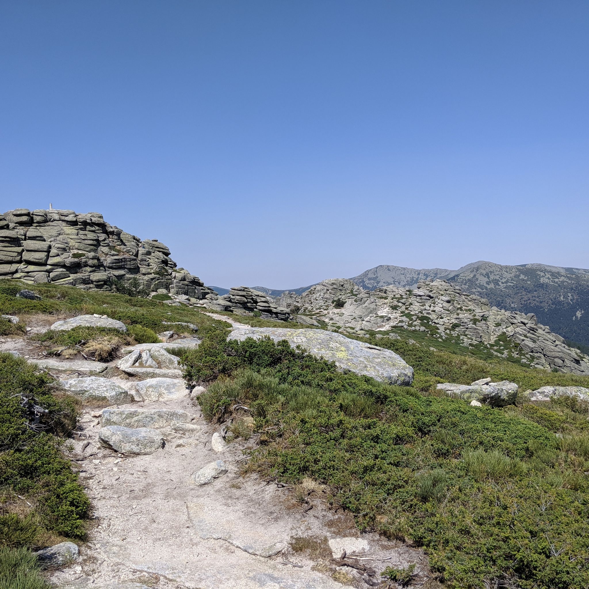
Hiking around National Park Cumbre, Circo y Lagunas Peñalara
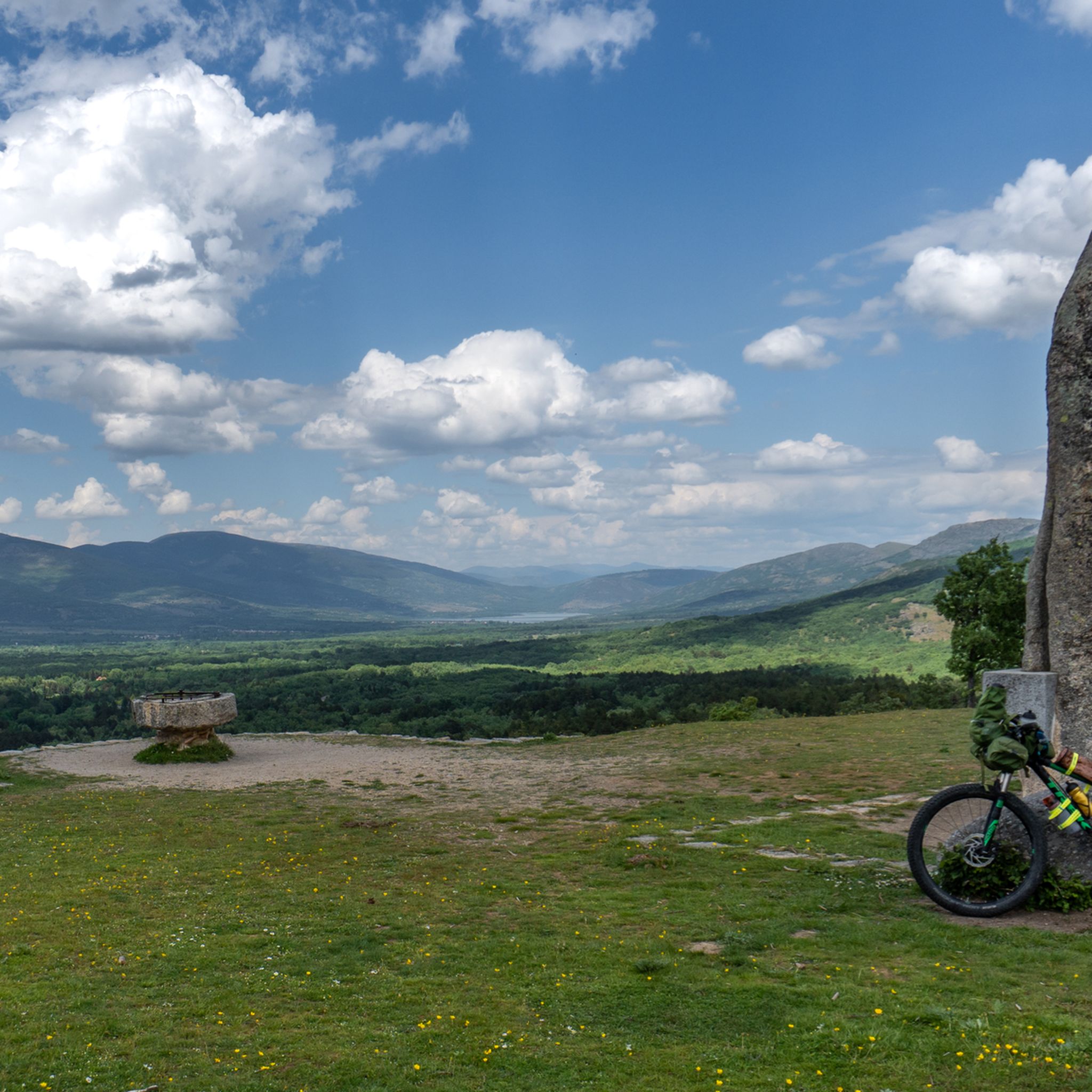
MTB Trails around National Park Cumbre, Circo y Lagunas Peñalara
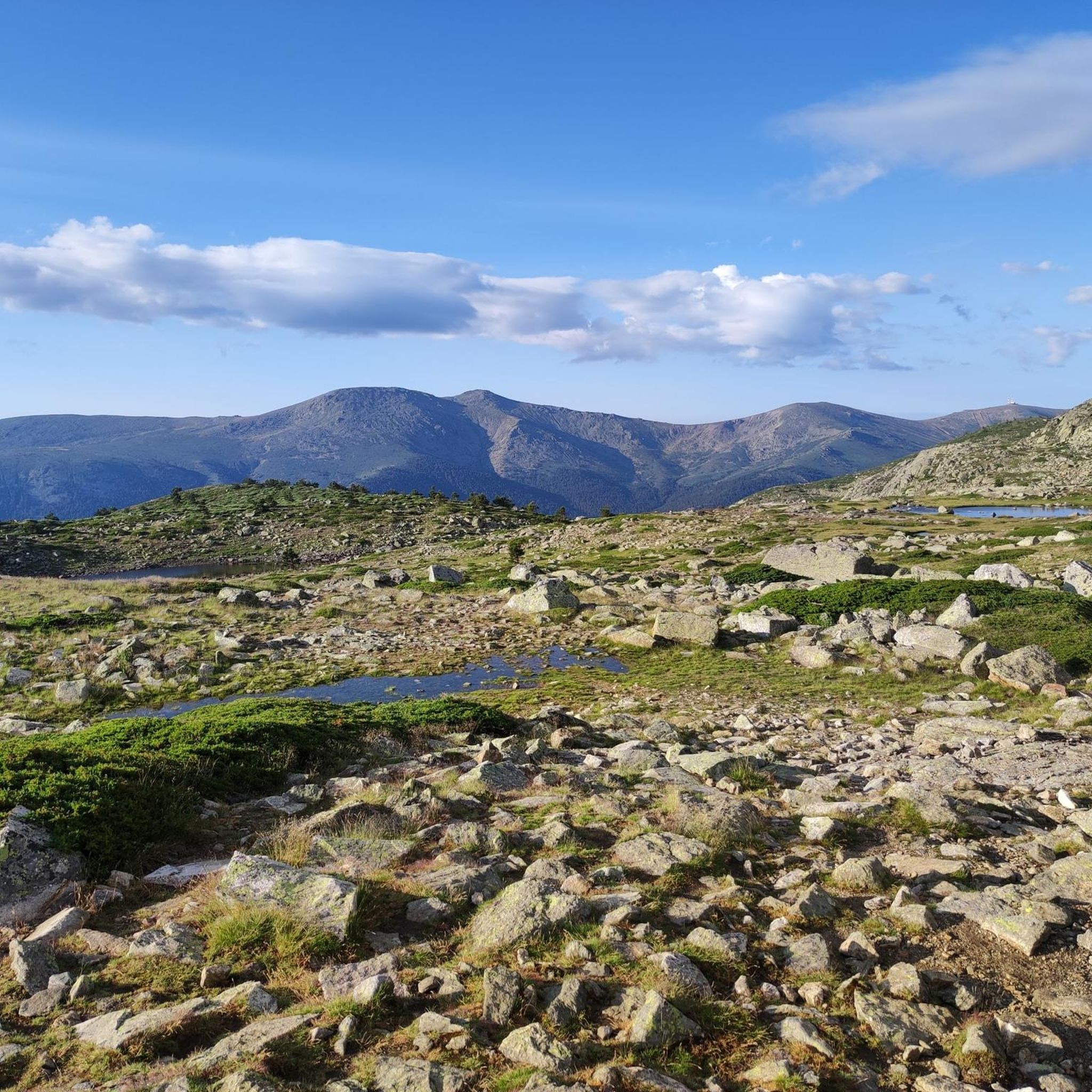
Running Trails around National Park Cumbre, Circo y Lagunas Peñalara
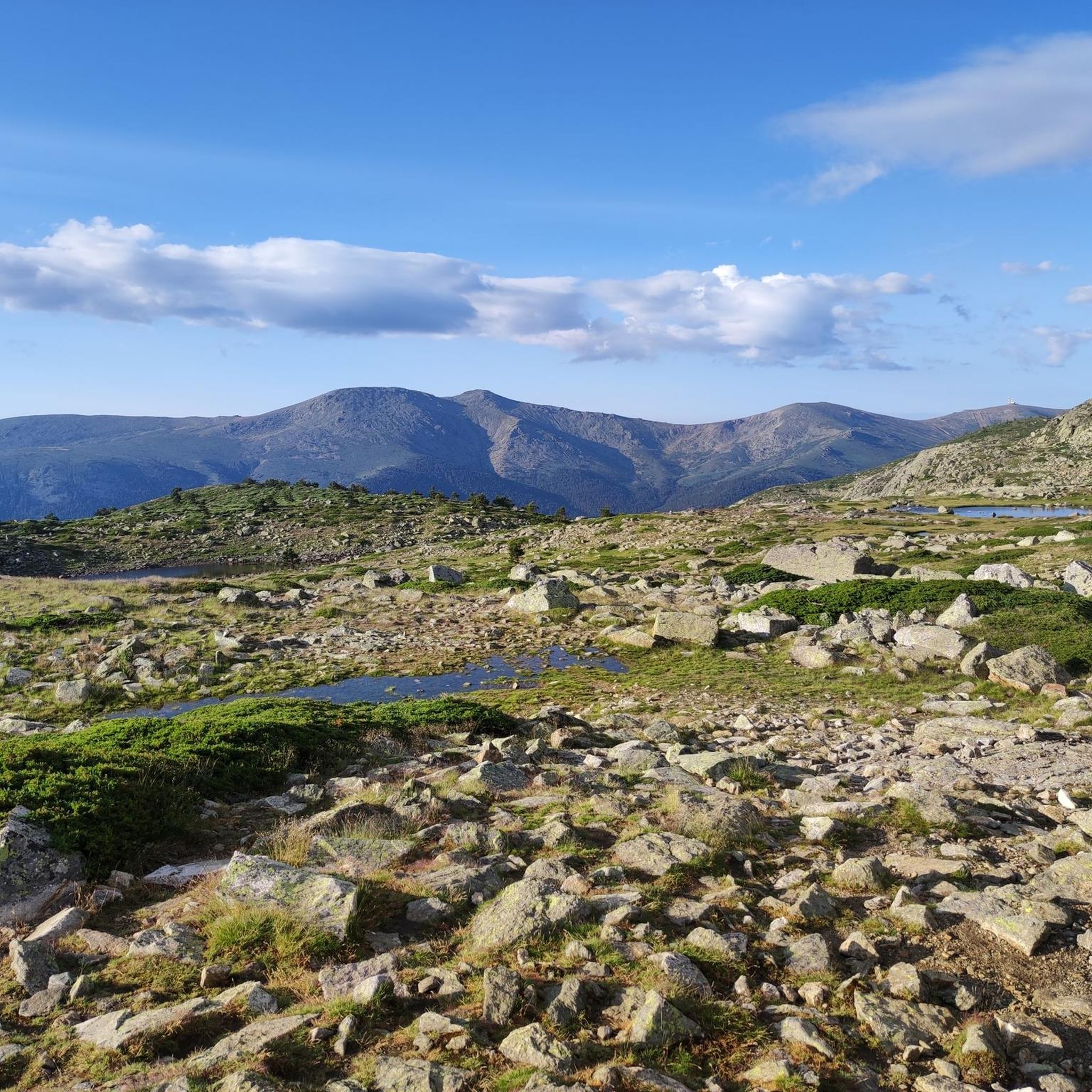
Road Cycling Routes around National Park Cumbre, Circo y Lagunas Peñalara
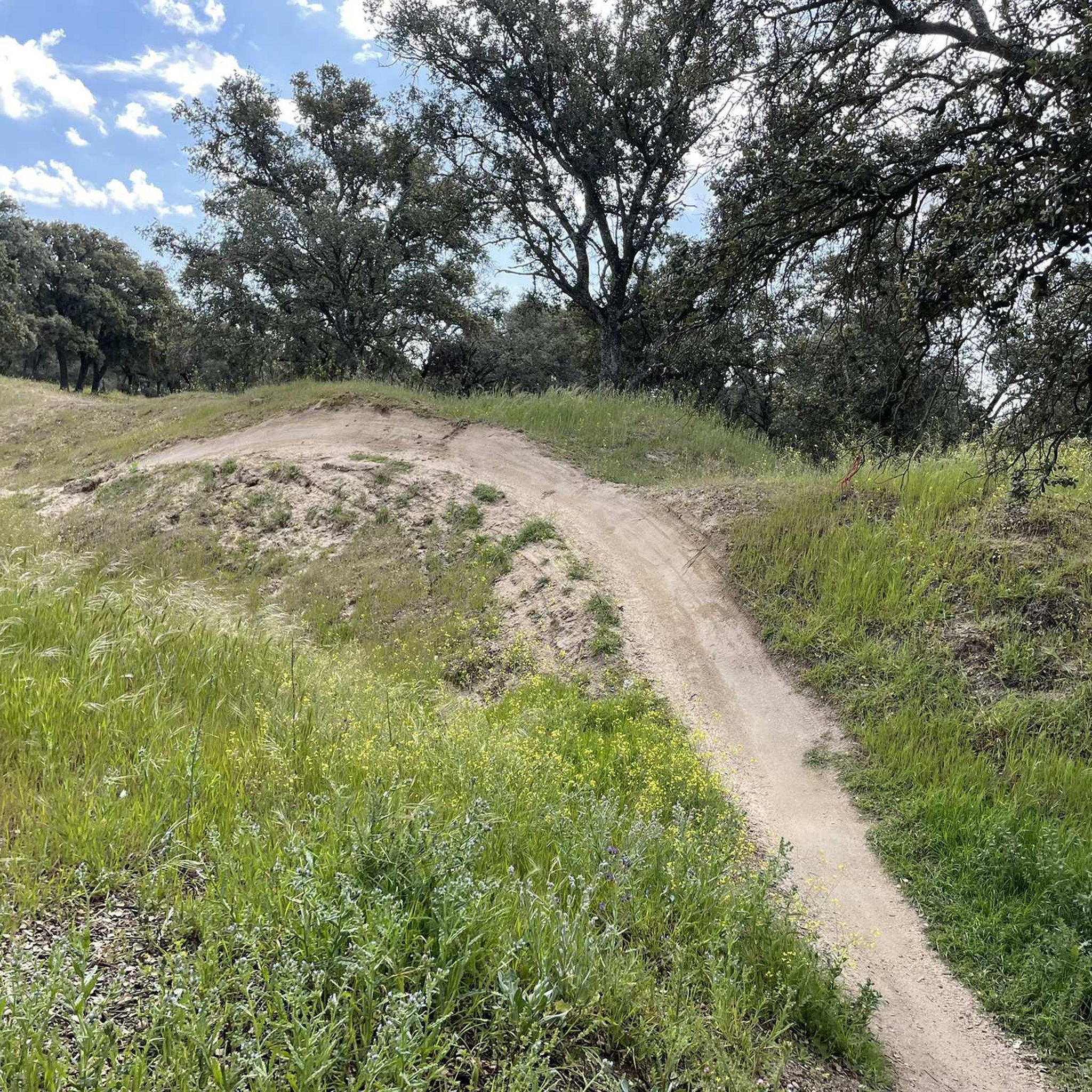
Mountain Hikes around National Park Cumbre, Circo y Lagunas Peñalara
Gravel biking around National Park Cumbre, Circo y Lagunas Peñalara
Tips from the Community

Beautiful viewpoint of the Pinilla reservoir
0
0

It is located in the Sierra de Guadarrama mountain range, between the municipalities of Miraflores de la Sierra and Rascafría, in the Community of Madrid. From Miraflores de la Sierra (1200m), the route ascends approximately 600m over 10km (average gradient 4–6%), and after reaching the summit, it descends 13km to Rascafría (1150m) with a gradient of 4.5–7%.
6
0

A comfortable trail with incredible views. As an added bonus, you can descend to the Mojonavalle waterfall. A truly beautiful cascade.
1
0
The name comes from the stone boundary markers erected in the 18th century to demarcate lands acquired by Charles III for hunting. During the Spanish Civil War, it was a strategic area with a Republican detachment stationed there. It formerly housed the Valcotos ski resort, which no longer exists.
1
0

There's a fountain as you reach the top on the right. Follow the cobblestone path.
0
1
Viewpoint with wonderful views
0
0

beautiful bridge over the Lozoya River
0
0
Frequently Asked Questions
How many touring cycling routes are available in National Park Cumbre, Circo y Lagunas Peñalara?
There are over 25 touring cycling routes in National Park Cumbre, Circo y Lagunas Peñalara, offering a variety of experiences for different skill levels. The komoot community has explored these routes over 790 times.
What are the different difficulty levels for touring cycling routes in the park?
The park offers a range of difficulty levels. You'll find 3 easy routes, 8 moderate routes, and 17 difficult routes. This variety ensures options for both casual riders and those seeking a challenge.
Are there any easy or family-friendly touring cycling routes in National Park Cumbre, Circo y Lagunas Peñalara?
Yes, there are easy routes suitable for families or those looking for a more relaxed ride. For example, the El Paular Monastery – Pinilla Reservoir Viewpoint loop from Rascafría is an easy 17.2-mile (27.6 km) route with minimal elevation gain, perfect for a leisurely outing.
What kind of terrain can I expect on touring cycling routes in National Park Cumbre, Circo y Lagunas Peñalara?
The terrain is varied, reflecting the park's glacial origins. You can expect a mix of paved and unpaved segments. Routes often traverse Scots pine forests, transition to shrub formations, and can lead into alpine meadows and high-mountain rocky areas, offering diverse riding surfaces.
Are there touring cycling routes with significant elevation gain in the park?
Absolutely. Many routes feature significant elevation gain, especially those venturing into the higher altitudes. For a challenging ride, consider the Sierra de Guadarrama Three Passes Loop, which covers 55.2 miles (88.9 km) with over 5,700 feet (1,750 m) of ascent, taking you through varied mountain passes.
What can I see along the touring cycling routes in National Park Cumbre, Circo y Lagunas Peñalara?
The park is rich in natural beauty. You can explore dramatic glacial landscapes, including cirques and numerous glacial lagoons. Notable sights include the Peñalara Glacial Cirque, Laguna de Peñalara, and Lake of the Birds. Many routes offer panoramic views of these features and the surrounding high-mountain environment.
Are there circular touring cycling routes available?
Yes, many routes are designed as loops, allowing you to start and end at the same point. An example of a challenging circular route is the Parque Nacional de Guadarrama – circular to Puerto de la Morcuera desde Rascafría, a 19.7-mile (31.8 km) loop with substantial climbing.
What do other touring cyclists enjoy the most about touring cycling in National Park Cumbre, Circo y Lagunas Peñalara?
The area is highly rated by the komoot community, with an average score of 4.4 stars from over 19 reviews. Reviewers often praise the stunning glacial landscapes, the challenging climbs, and the diverse ecosystems that make each ride unique. The blend of pine forests, alpine meadows, and high-mountain rocky areas provides a visually rewarding journey.
Can I find routes that offer views of the highest peaks in the Sierra de Guadarrama?
Yes, several routes provide breathtaking views of the highest peaks, including Pico de Peñalara. For instance, the difficult Cotos Pass – Los Robledos Viewpoint loop from Retén Guardas Forestales offers expansive vistas over the surrounding glacial formations and high-altitude scenery.
What is the best time of year for touring cycling in National Park Cumbre, Circo y Lagunas Peñalara?
The best months for touring cycling generally span from late spring to early autumn (May to October) when the weather is milder and the high-mountain passes are clear of snow. During these periods, you can fully appreciate the diverse landscapes and glacial features without the challenges of winter conditions.
Are there any specific regulations for cycling within the National Park?
As a protected natural area, it's important to respect park regulations. Cyclists should generally stick to marked trails and roads where cycling is permitted. Always check local signage and official park guidelines for any specific restrictions or permits required for certain areas, especially in more sensitive ecological zones.
Most popular routes around National Park Cumbre, Circo y Lagunas Peñalara
Most popular attractions around National Park Cumbre, Circo y Lagunas Peñalara

Get inspired with the komoot mobile app


Explore more
Browse the best Cycling routes in other regions.
