The best running trails around Salares
4.3
(27)
727
runners
41
runs
Jogging around Salares offers a challenging experience through a landscape characterized by significant elevation changes and historical landmarks. The region features trails that ascend to viewpoints and summits, often passing through areas with natural features like hills and valleys. Runners can expect varied terrain, including paths near ancient structures and through natural areas.
Best jogging routes around Salares
- The most popular jogging route is Castillo de Benthomiz loop from Arenas, an 8.5 miles (13.7 km) trail that takes 1…
Last updated: June 27, 2026
5.0
(1)
26
runners
13.4km
01:45
540m
540m
Hard run. Very good fitness required. Mostly paved surfaces. Suitable for all skill levels.
11
runners
14.6km
01:56
630m
630m
Hard run. Very good fitness required. Sure-footedness, sturdy shoes and alpine experience required.

Sign up for free
4
runners
23.9km
03:47
1,510m
1,520m
Hard run. Very good fitness required. Mostly paved surfaces. Suitable for all skill levels.
10
runners
15.5km
02:49
1,250m
1,250m
Hard run. Very good fitness required. Mostly paved surfaces. Suitable for all skill levels.
5
runners
7.10km
00:59
330m
330m
Hard run. Very good fitness required. Mostly paved surfaces. Suitable for all skill levels.
Get access to more routes and recommendations from other explorers.
Sign up for free
Already have an account?
Our route recommendations are based on thousands of hikes, rides, and runs completed by other people on komoot.
Start today with a free account
Your next adventure awaits.
Login or Signup

Tips from the Community

Charming village to stop and recharge
0
0

Beautiful view of Cómpeta. You can easily walk up through the town. Then you can easily finish the round.
0
1

To reach the parking lot at Llanadas de Sedella requires a vehicle with 4-wheel drive like a Land Rover Defender. There are gates that might be closed so you must check with the park authorities beforehand - not much space to turn the vehicle around on this narrow road. Once there the view is stunning with horses grazing around. But be cautious! The recommended track we took to reach the top are for expert hikers. Some parts are very steep (>35%) with loose stones. If you suffer from vertigo, avoid! You need support by both hands at time. It’s not an official track but rather a path used by sheep, whose poo indicate that you are on the right track. (There is a northern track that serpentines its way up that might be more convenient). But once you are on the white-green path originating from the Fuentes del Robledal it’s ok. You are exposed to strong winds and no shelter from the sun. Bring lot’s of water and calculate 6hrs return hike. Once you have reached the top of la Maroma you will have a fantastic view over Andalucia with the Sierra Nevada at your back and Gibraltar in front.
2
2

Once you have reached the top of the Maroma peak. Pico de malaga we can see fabulous views of the coast and sierras de malaga as well as the Moroccan coasts when the day is clear
1
1

This 2069 meter peak was originally called Pico Tejeda because it was the highest point in the mountain range of the same name. The name La Maroma comes from the ropes used to lower the snow that was stored in a natural chasm located 40 meters south of the trig point. This chasm was known as Sima de la Maroma and that led to the summit being named the same way. It is located between the provinces of Granada and Malaga, being the highest point of the second, and on clear days you can see the crescent-shaped coast drawn by the Alboran Sea from Ceuta to Oran.
3
1
El Robledal-La Maroma-El Robledal Pico Tejeda or La Maroma is one of the most cosmopolitan and visited peaks in Andalusia, along with Sierra Nevada. This is due, among other things, to the unique views from the summit: just a few kilometers from the entire coast of Malaga, the Mediterranean Sea with its traffic of boats of all kinds, the African coasts and mountains, the Strait of Gibraltar and, North, all the mountains of Malaga and Granada, highlighting Sierra Nevada. You can also see the mountains of the province of Jaén such as Sierra Mágina.
1
0

This beautiful town located at the foot of the Sierras de Tejeda, Almijara and Alhama, has just over 170 inhabitants. It is part of the Mudejar route of the Axarquia de Malaga.
2
0
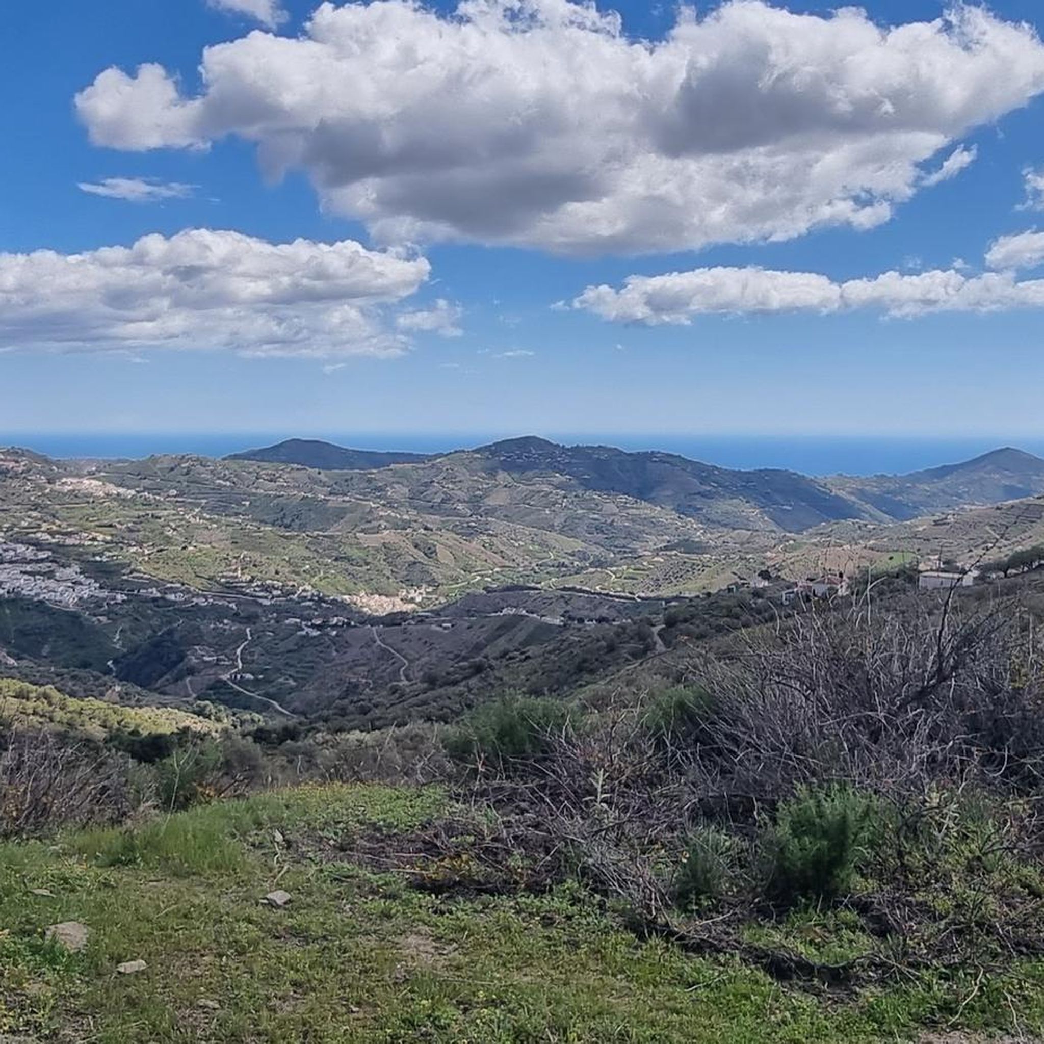
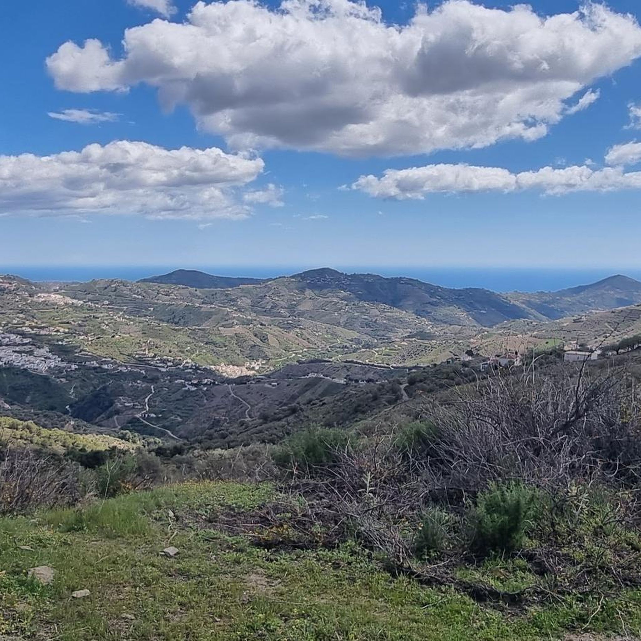
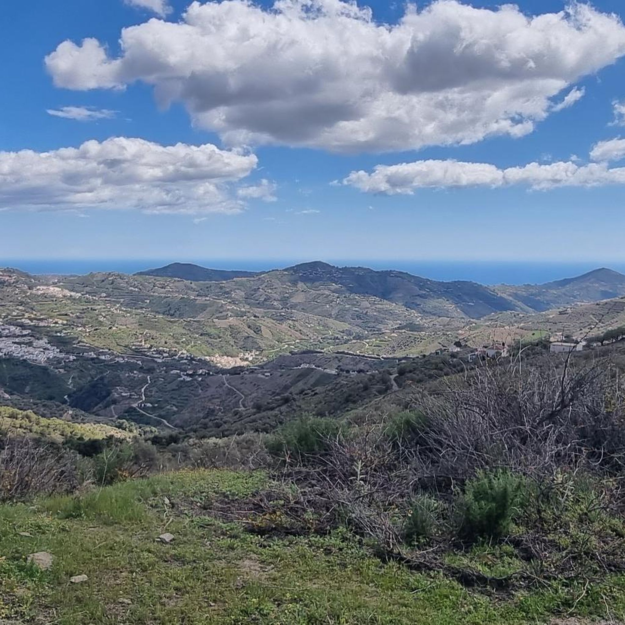
This viewpoint is located just before reaching the town of Cómpeta. On clear days you can see the coast of Nerja and Torrox.
0
1
Frequently Asked Questions
How many running routes are available around Salares?
There are over 40 dedicated running routes around Salares, offering a variety of experiences for those looking to explore the region on foot. The komoot community has extensively mapped these trails, providing detailed information for each one.
What is the general difficulty level of running trails in Salares?
Jogging around Salares is primarily challenging, with the majority of routes classified as difficult. These trails feature significant elevation changes and varied terrain, making them ideal for experienced runners seeking a demanding workout. There are also a few moderate options available for those looking for a slightly less intense run.
Are there any running routes in Salares that are suitable for beginners or those looking for an easier run?
While most running routes in Salares are classified as difficult, there are approximately 8 moderate trails available. These routes still offer a good workout but are less demanding than the most challenging options, making them a good starting point for those building up their endurance in the region's hilly landscape.
What kind of natural features can I expect to see along the running trails in Salares?
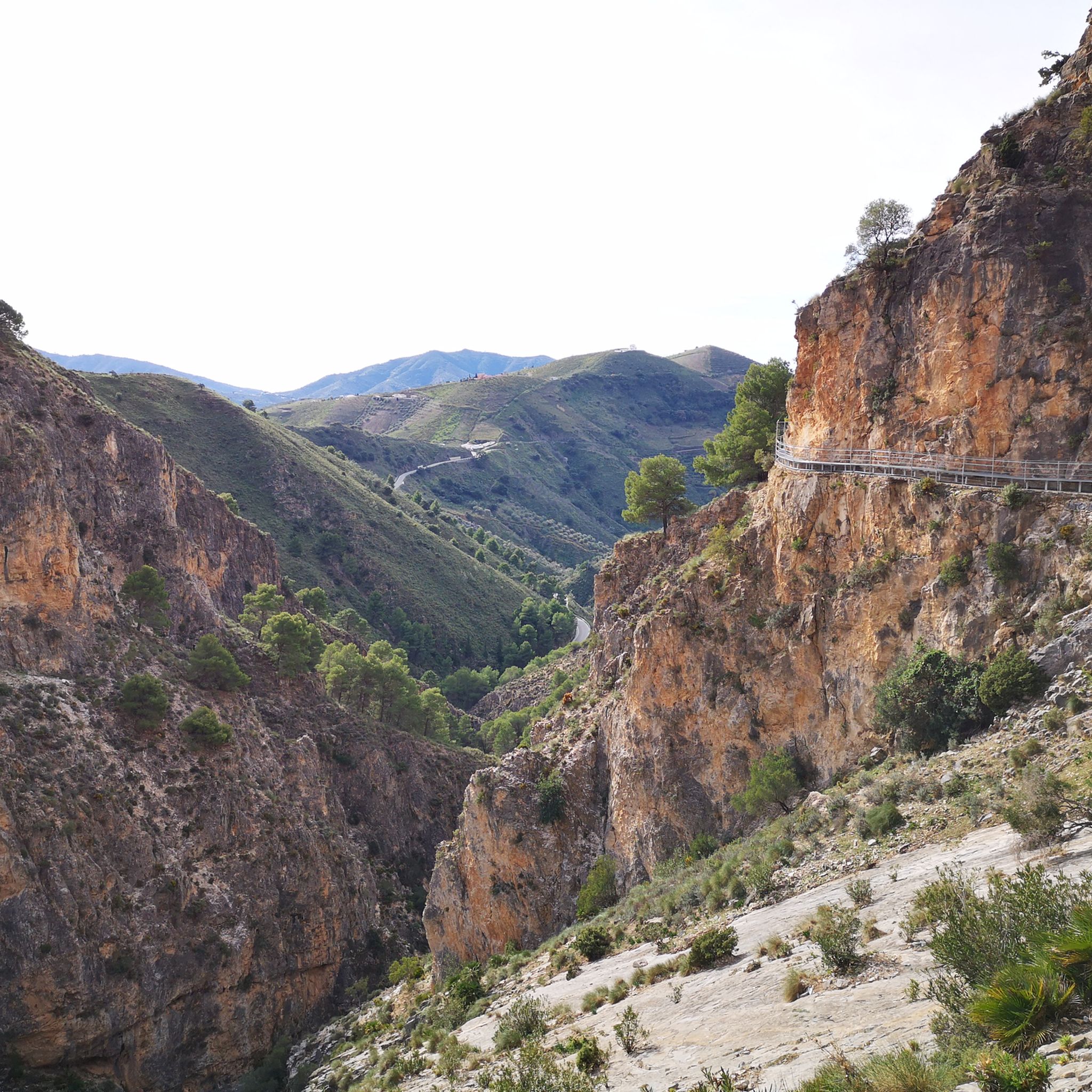
The running trails in Salares are characterized by diverse natural features, including significant hills and valleys. You'll encounter routes that ascend to panoramic viewpoints and pass through areas with notable geological formations like gorges and mountain passes. For example, you can explore the Walkway Through the Río Algarrobo Gorge or discover various mountain passes such as Puerto Blanquillo.
Are there any historical landmarks or points of interest along the running routes?
Yes, many running routes in Salares incorporate historical landmarks and points of interest. For instance, the Castillo de Benthomiz loop from Arenas explores the area around the historic Castillo de Benthomiz. Another route, the Salares Roman Bridge – La Maroma Summit loop from Salares, passes by the ancient Salares Roman Bridge, offering a glimpse into the region's past.
What do other runners say about the trails in Salares?
The running trails in Salares are highly regarded by the komoot community, holding an average rating of 4.3 stars from over 29 reviews. Runners often praise the challenging climbs, the historical sites encountered along the way, and the panoramic viewpoints that offer stunning vistas of the surrounding landscape.
Are there any long-distance running options for experienced athletes?
Absolutely. For experienced athletes seeking a significant challenge, Salares offers several longer routes. The Salares Roman Bridge – La Maroma Summit loop from Salares is a difficult 23.9 km trail, and the Arenas Village Monuments – Bentomiz Castle loop from Arenas extends to 26.2 km, both featuring substantial elevation gains.
Can I find circular running routes in Salares?
Yes, many of the running routes in Salares are circular, allowing you to start and finish at the same point. Examples include the popular Cerro Cueva del Agua loop from Canillas de Albaida and the View of Cómpeta – Huerta Grande Pass loop from Canillas de Albaida, both offering comprehensive tours of their respective areas.
Are there specific viewpoints or scenic spots along the running trails?
The challenging terrain of Salares often rewards runners with spectacular viewpoints. Trails frequently ascend to summits and elevated positions, providing panoramic views. For example, the Castillo de Benthomiz loop from Arenas offers extensive vistas around the historic castle, and the View of La Maroma Massif and Gorge is a notable scenic spot.
What kind of elevation gain can I expect on the running routes in Salares?
Runners in Salares should be prepared for significant elevation gain. The region is characterized by hilly terrain, and many routes involve substantial climbs. For instance, the Salares Roman Bridge – La Maroma Summit loop from Salares features over 1500 meters of ascent, indicating the challenging nature of the trails.
Are there any bridges or unique structures to see while running?
Yes, some routes feature interesting bridges and structures. You can find the historic Salares Roman Bridge on certain trails, and for a more adventurous experience, the area also boasts modern marvels like the El Saltillo Suspension Bridge, which offers a thrilling crossing over a gorge.
Most popular attractions around Salares

Get inspired with the komoot mobile app


Explore more
Browse the best Running Trails & Routes in other regions.
