The best walks and hikes around Pinedas
4.5
(155)
912
hikers
40
hikes
Hiking trails around Pinedas offer diverse landscapes, from the mountainous terrain of the Sierra de la Demanda with peaks over 2,000 meters, to extensive pine forests and river valleys. The region features varied elevations, including smooth southern slopes and more challenging ascents. Natural monuments and protected areas provide a rich environment for outdoor exploration.
Best hiking trails around Pinedas
- The most popular hiking route is Miranda del Castañar - Villanueva del Conde – circular by the Camino de los Prodigios…
Last updated: June 28, 2026
4.9
(21)
115
hikers
Moderate hike. Good fitness required. Mostly accessible paths. Sure-footedness required.
4.7
(12)
49
hikers
8.41km
02:20
160m
150m
Moderate hike. Good fitness required. Easily-accessible paths. Suitable for all skill levels.

Sign up for free
4.49km
01:19
120m
120m
Easy hike. Great for any fitness level. Easily-accessible paths. Suitable for all skill levels.
2
hikers
9.61km
03:13
210m
210m
Hard hike. Good fitness required. Sure-footedness, sturdy shoes and alpine experience required.
4.5
(12)
57
hikers
Easy hike. Great for any fitness level. Easily-accessible paths. Suitable for all skill levels.
Get access to more routes and recommendations from other explorers.
Sign up for free
Already have an account?
Our route recommendations are based on thousands of hikes, rides, and runs completed by other people on komoot.
Start today with a free account
Your next adventure awaits.
Login or Signup
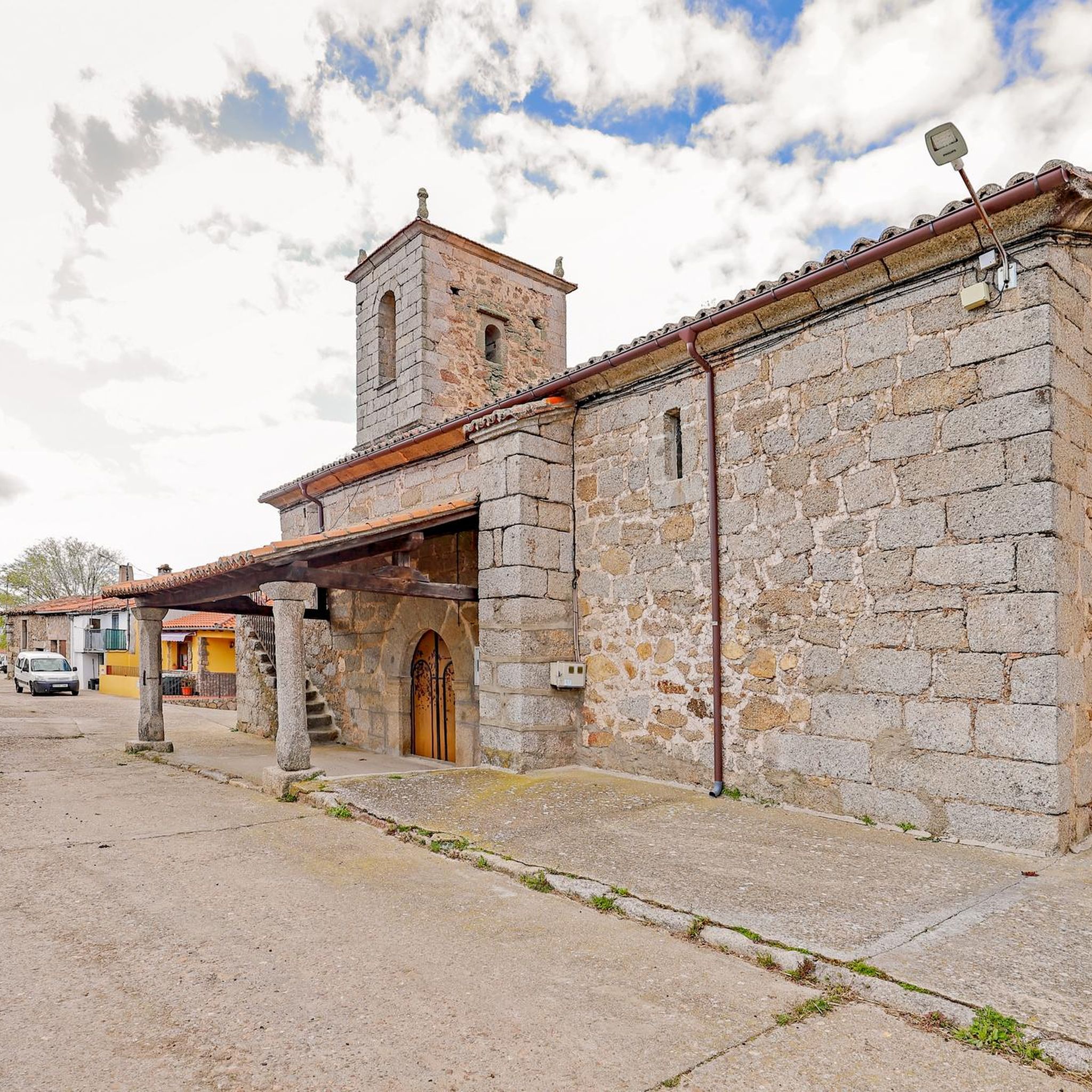
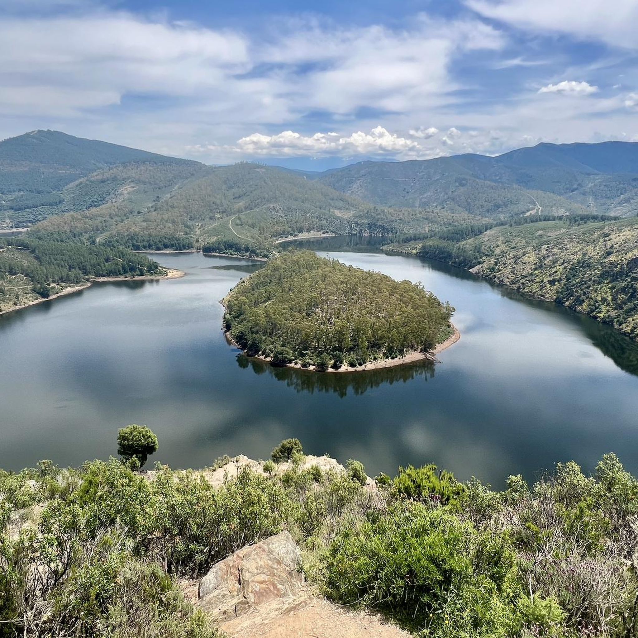
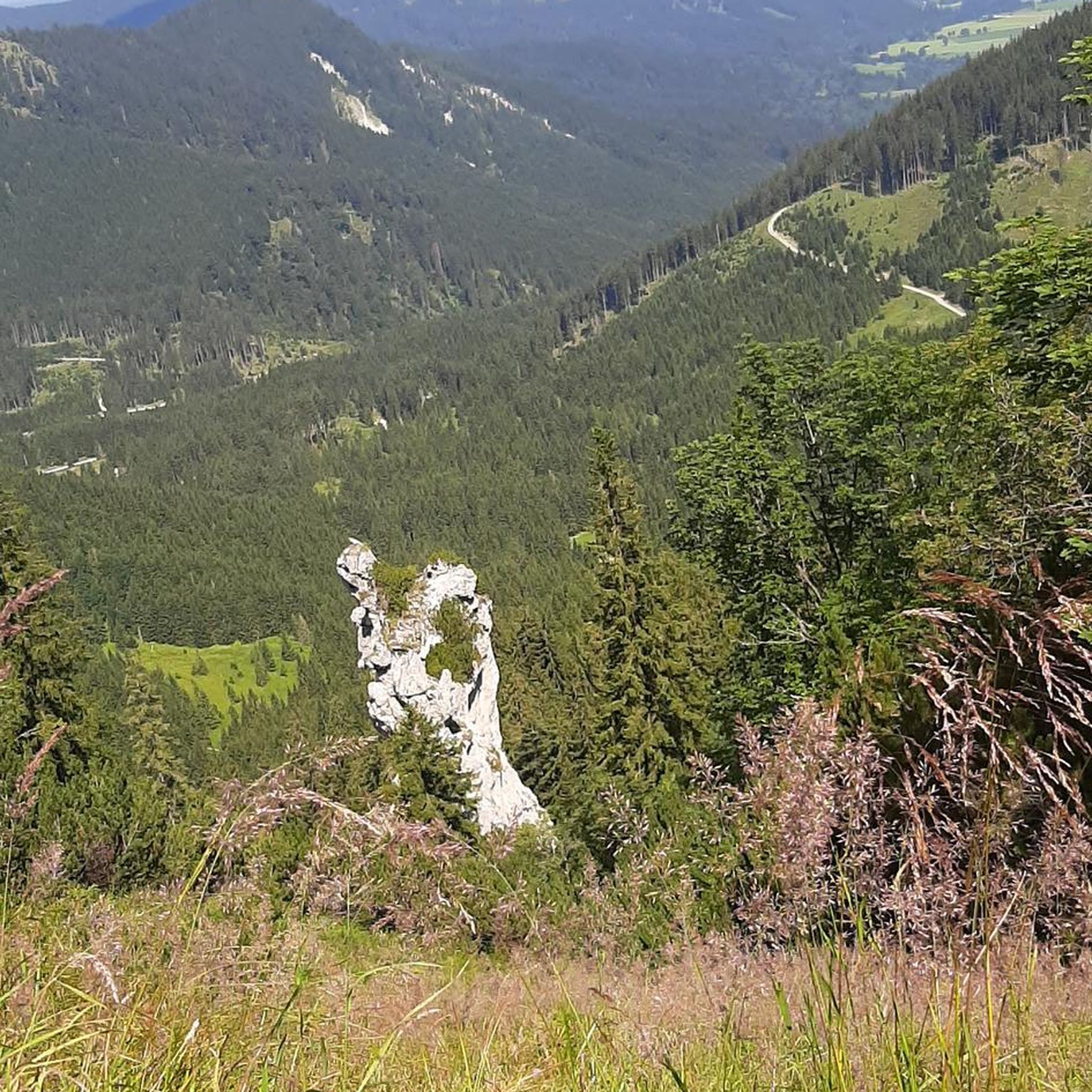
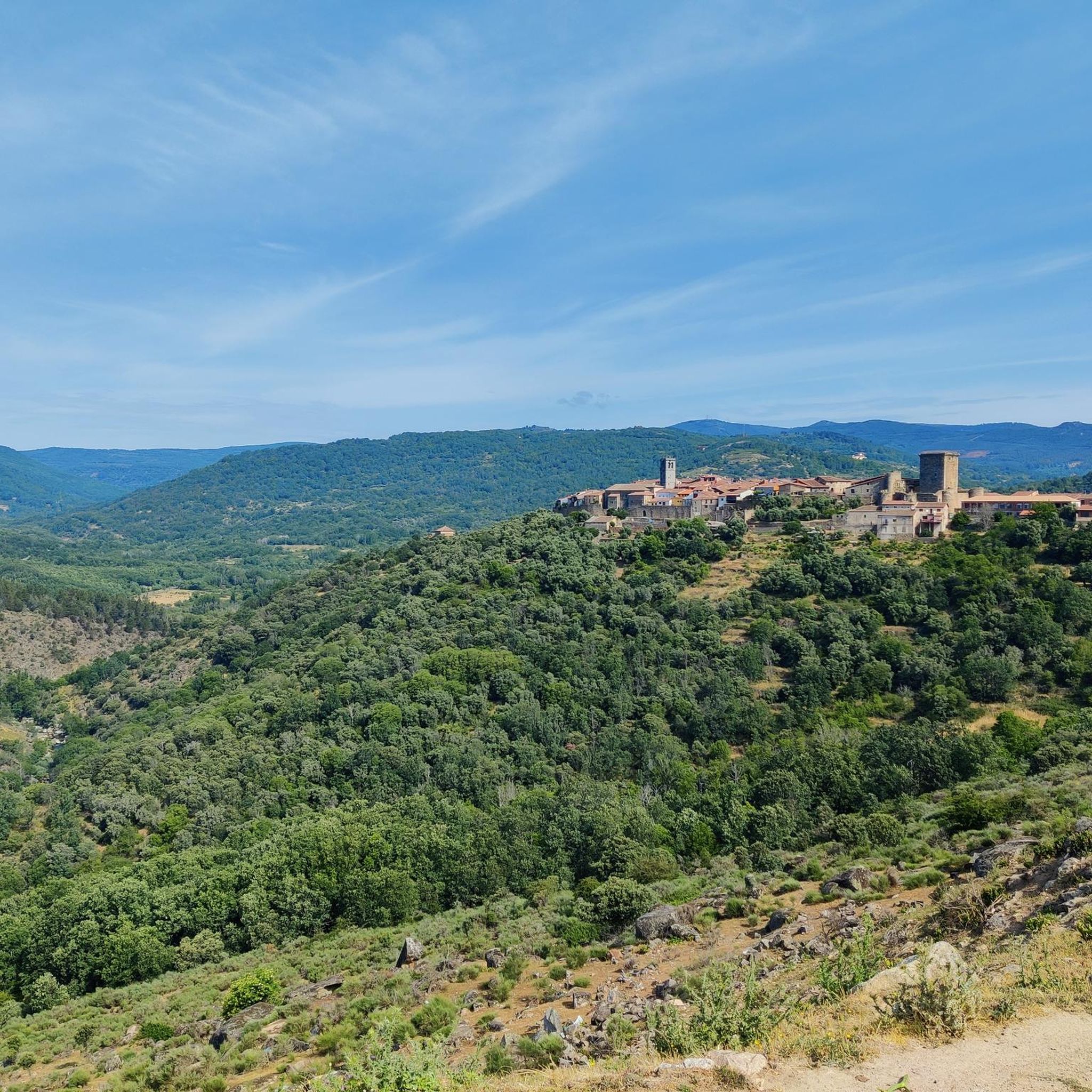
Tips from the Community

On the SA-205 highway, just outside San Esteban de la Sierra heading towards Santibáñez de la Sierra, you'll find the entrance to the Sierra Viewpoints Route, which includes several spectacular panoramic viewpoints. Views: The Alagón River Valley and its meanders. The Sierra de Francia mountain range with the Peña de Francia peak in the background. The Sierra de Béjar mountain range and the Las Quilamas Natural Area. This viewpoint is a magnificent natural balcony, perfect for photography and birdwatching (vultures, eagles, black storks).
2
0
What to see in Miranda del Castañar Medieval Walls: Over 600 meters remain intact, with four gates facing the cardinal directions: San Ginés, Nuestra Señora, La Villa, and El Postigo. Zúñiga Castle: A 15th-century fortress, symbol of the former County of Miranda. Although the interior is not open to the public, its exterior and keep are impressive. Square Bullring: Considered one of the oldest in Spain, built in the 16th century on the site of the former parade ground. Church of Santiago and San Ginés: Gothic in style (13th-16th centuries), with a detached 17th-century bell tower. Houses with Coats of Arms: More than 80 noble coats of arms adorn the facades, reflecting the town's aristocratic past.
1
0
Miranda del Castañar, one of the most beautiful villages in Spain, is located in the Sierra de Francia (Salamanca): Founded in 1213 by Alfonso IX of León as a town and council, it was the administrative capital of the Sierra de Francia. In the 15th century, the County of Miranda was created under the control of the Zúñiga family, consolidating its strategic importance.
1
0
Zúñiga Castle: A 15th-century fortress, symbol of the former County of Miranda. Although it is not open to the public, its exterior and keep are impressive.
1
0
What to see in Miranda del Castañar Medieval Walls: Over 600 meters remain intact, with four gates facing the cardinal directions: San Ginés, Nuestra Señora, La Villa, and El Postigo. Zúñiga Castle: A 15th-century fortress, symbol of the former County of Miranda. Although the interior is not open to the public, its exterior and keep are impressive. Square Bullring: Considered one of the oldest in Spain, built in the 16th century on the site of the former parade ground. Church of Santiago and San Ginés: Gothic in style (13th-16th centuries), with a detached 17th-century bell tower. Houses with Coats of Arms: More than 80 noble coats of arms adorn the facades, reflecting the town's aristocratic past.
8
0
Miranda del Castañar, one of the most beautiful villages in Spain, is located in the Sierra de Francia (Salamanca): Founded in 1213 by Alfonso IX of León as a town and council, it was the administrative capital of the Sierra de Francia. In the 15th century, the County of Miranda was created under the control of the Zúñiga family, consolidating its strategic importance.
9
0
The Soto Bridge, also known as the Roman Bridge of Sotoserrano, is a historic stone structure that spans the Alagón River in the Las Batuecas-Sierra de Francia Natural Park. It is located in the town of Sotoserrano, famous for being at the confluence of three rivers: the Alagón, the Francia, and the Cuerpo de Hombre. The bridge is one of the town's symbols and a key point on several hiking and cycling routes.
1
0

The current bridge is not Roman, it does not preserve any of its characteristics, not even in the foundations. But it is without a doubt a beautiful and spectacular bridge in a very beautiful enclave.
1
0
Frequently Asked Questions
How many hiking trails are available in Pinedas?
Pinedas offers a diverse network of over 30 hiking trails. These routes cater to various skill levels, from easy walks to more challenging ascents, allowing you to explore the region's varied landscapes.
What kind of terrain and landscapes can I expect when hiking in Pinedas?
The Pinedas region features a rich tapestry of landscapes. You'll find mountainous terrain, particularly in areas like the Sierra de la Demanda, extensive pine forests, and scenic river valleys. Some routes offer smooth southern slopes, while others present more challenging ascents, providing a diverse hiking experience.
Are there any easy hiking routes suitable for beginners or families in Pinedas?
Yes, Pinedas has 11 easy hiking routes perfect for beginners or families. An excellent option is the Herguijuela - Fuente Mundo Trail, a 2.8-mile (4.5 km) path that takes about 1 hour 19 minutes to complete, leading through beautiful natural landscapes.
What are some notable natural features or landmarks to see while hiking in Pinedas?
Pinedas is rich in natural beauty and landmarks. You can discover stunning viewpoints like the View of Meandro del Melero, explore natural monuments such as Fuente Mundo, or admire structures like the Soto Bridge - Alagón River. The region also boasts extensive pine forests and the impressive Sierra de la Demanda.
What do other hikers enjoy most about hiking in Pinedas?
The hiking trails in Pinedas are highly rated by the komoot community, with an average score of 4.5 stars from over 100 reviews. Hikers frequently praise the diverse terrain, from challenging mountain paths to serene river routes, and the opportunity to explore natural monuments and picturesque villages like Miranda del Castañar.
Are there any circular hiking routes in Pinedas?
Yes, Pinedas offers several circular hiking routes. A popular choice is the Miranda del Castañar - Villanueva del Conde – circular by the Camino de los Prodigios. This moderate 7.2-mile (11.6 km) trail takes about 3 hours 37 minutes and features significant elevation gain through varied landscapes.
Are there any challenging or difficult hiking trails in Pinedas?
For experienced hikers seeking a challenge, Pinedas has 2 difficult routes. One such trail is the Balcon de Pilatos via the Trasiegos Path – Quilamas Natural Space, which covers 9.6 km and involves substantial elevation changes, offering a rewarding experience for advanced hikers.
Can I find routes that follow river courses in Pinedas?
Absolutely. The region's geography includes beautiful river valleys. The Route of the Three Rivers - circular from Sotoserrano is a moderate 5.2-mile (8.4 km) path that follows river courses, providing scenic views and a refreshing experience.
What is the best time of year to go hiking in Pinedas?
Pinedas offers hiking opportunities throughout the year, but the best time depends on your preference. Spring and autumn generally provide pleasant temperatures and vibrant scenery. Summer can be warm, especially in lower elevations, while winter offers a different, often quieter, experience, particularly in the mountainous areas like the Sierra de la Demanda.
Are there any guided hiking routes available in the Pinedas area?
Yes, for those who prefer a structured experience, some areas around Pinedas, such as Pineda de Mar, offer various guided routes. These can include explorations of local history, walks through orchards, or seaside routes. You can find more information on guided experiences at visitpineda.com.
Are there any trails that pass through charming villages or settlements?
Many trails in Pinedas connect or pass by picturesque villages. For instance, the Miranda del Castañar - Villanueva del Conde – circular by the Camino de los Prodigios route includes the historic village of Miranda del Castañar, allowing hikers to experience local culture and architecture.
Most popular routes around Pinedas
Most popular attractions around Pinedas

Get inspired with the komoot mobile app


Explore more
Browse the best Hikes in other regions.
