The best mountain hikes around El Castell De Guadalest
4.9
(10)
44
hikers
2
hikes
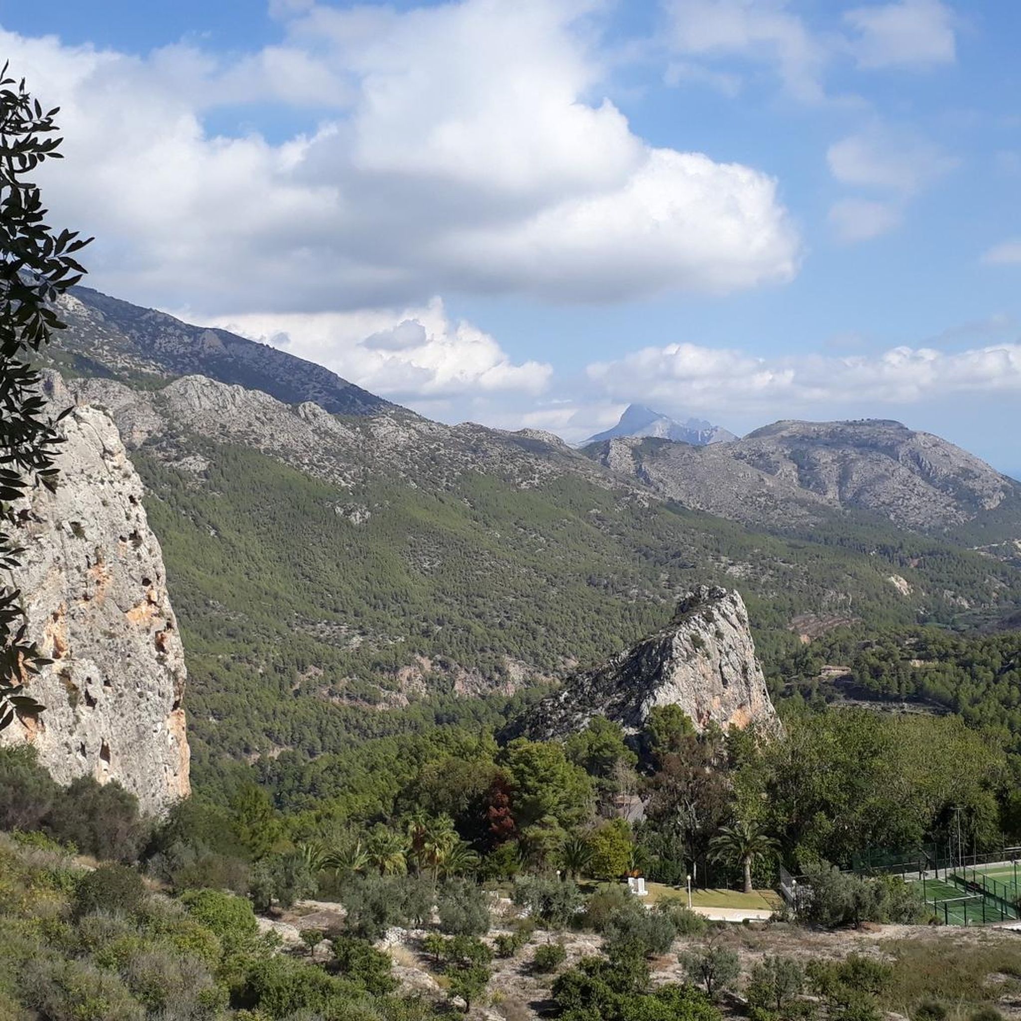
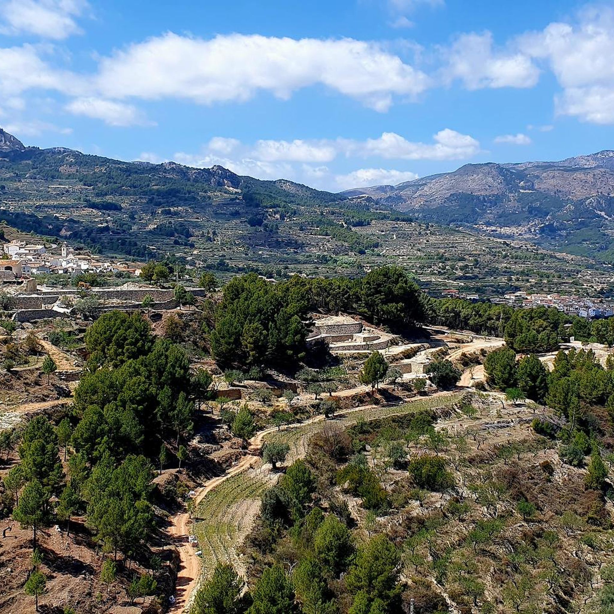
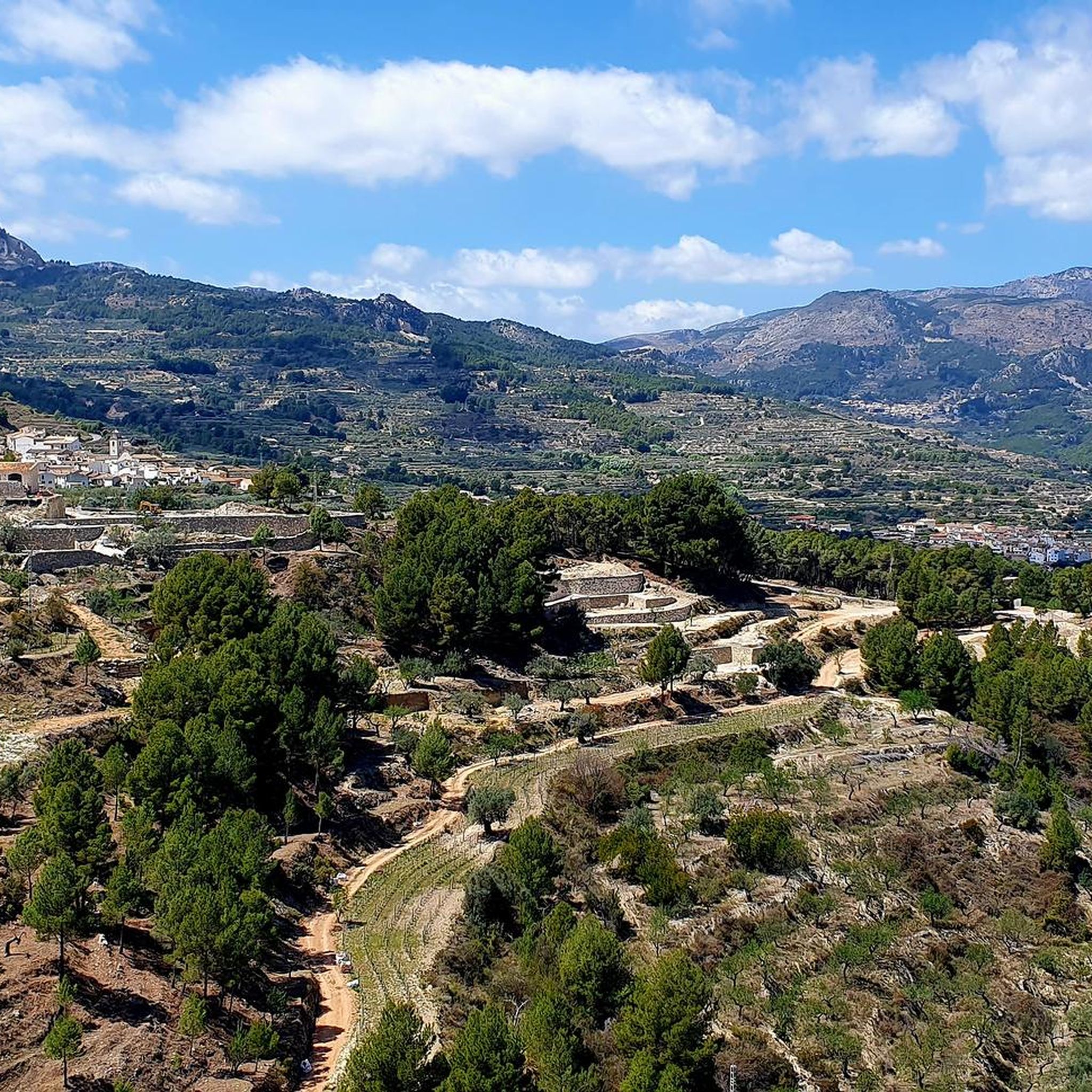
Mountaineering routes around El Castell De Guadalest traverse a landscape characterized by rugged mountain ranges such as Serra de Bèrnia and Serra d'Aitana. The region features prominent peaks like El Puigcampana and Tossal d'Avellà, offering significant elevation gains. Terrain often includes rocky paths, exposed ridges, and varied Mediterranean vegetation.
Best mountaineering routes around El Castell De Guadalest
- The most popular mountaineering route is Penyes del Portitxol – Bèrnia loop from Serra de Bèrnia, a 6.9 miles (11.1 km) trail…
Last updated: October 11, 2026
4.7
(3)
25
hikers
11.4km
04:43
580m
580m
Hard mountaineering route. Good fitness required. Sure-footedness, sturdy shoes and alpine experience required.
6
hikers
11.4km
05:01
650m
650m
Hard mountaineering route. Very good fitness required. Mostly accessible paths. Sure-footedness required.

4.8
(4)
5
hikers
6.26km
02:27
280m
280m
Moderate mountaineering route. Good fitness required. Mostly accessible paths. Sure-footedness required.
5.0
(2)
5
hikers
Hard mountaineering route. Good fitness required. Sure-footedness, sturdy shoes and alpine experience required.
5.0
(1)
3
hikers
6.12km
03:05
470m
470m
Hard mountaineering route. Good fitness required. Sure-footedness, sturdy shoes and alpine experience required.
Our route recommendations are based on thousands of hikes, rides, and runs completed by other people on komoot.
Start today with a free account
Your next adventure awaits.

Tips from the Community

Unfortunately everything is currently full of construction sites... but very nice!
0
0

Beautiful tour, good parking, best to do the entire walk to the caves. We walked over the ridge, not a bad one but phenomenal view!
0
0

The Forat de Bèrnia is an impressive place in the Sierra de Bèrnia, located in the Valencian Community, Spain. This natural tunnel, about 15 to 20 meters long, crosses the mountain range from north to south. At its widest entrance, it offers panoramic views of Altea, the Serra Gelada and the Mediterranean. The Forat de Bèrnia is presented as a spacious natural shelter that becomes a magnificent viewpoint of the Costa Blanca. The route begins on the north side of the mountain range, which is greener and wetter. As you cross the Forat, you move to the south face, with spectacular views of Altea, Benidorm and Puig Campana. In addition to the Forat, you can also explore the remains of the Bèrnia Fort and enjoy the varied landscapes that the mountains offer. If you decide to do this route, I recommend avoiding weekends and holidays to avoid the crowds and preserve the natural environment. I hope you enjoy this natural wonder! 😊🏞️
3
0
The Forat de Bèrnia is an impressive place in the Sierra de Bèrnia, located in the Valencian Community, Spain. This natural tunnel, about 15 to 20 meters long, crosses the mountain range from north to south. At its widest entrance, it offers panoramic views of Altea, the Serra Gelada and the Mediterranean. The Forat de Bèrnia is presented as a spacious natural shelter that becomes a magnificent viewpoint of the Costa Blanca. If you decide to do this route, I recommend avoiding weekends and holidays to avoid the crowds and preserve the natural environment. I hope you enjoy this natural wonder! 😊🏞️
4
0

To access the summit, there is a chain on the rock wall that helps you climb. It is quite safe, but it is still advisable to carry out this section with caution.
3
0
From its summit, you can enjoy excellent views of the Mediterranean Sea, the coastline and the surrounding mountains. The effort you have made is more than worth it. !! Congratulations!!
2
0
The trail is well marked. It is advisable to use appropriate footwear that supports the ankle well and trekking poles, since there are loose stones. The views of the stone mass are very beautiful.
0
2

Just don't drive on weekends and vacation times. Then there are so many hikers and families with small children on the single trail that it's no longer fun to go up to the plateau. I have to note that I had these experiences there on a Sunday in November.
0
0
Frequently Asked Questions
What are the typical difficulty levels for mountaineering routes around El Castell De Guadalest?
The mountaineering routes in this region are generally challenging. You'll find a mix of moderate and difficult trails. For example, the Penya Alta – Alt de Tagarina loop from Serra d'Aitana is a moderate option, while routes like Penyes del Portitxol – Bèrnia loop from Serra de Bèrnia are considered difficult.
Are there any mountaineering routes suitable for beginners in El Castell De Guadalest?
While many routes are rated difficult, there are some moderate options that might be more suitable for those newer to mountaineering, provided they have a good level of fitness. The Penya Alta – Alt de Tagarina loop from Serra d'Aitana is one such route, covering 5.5 miles (8.9 km) with a duration of about 3 hours 22 minutes.
What is the typical duration for mountaineering routes in this area?
The duration of mountaineering routes around El Castell De Guadalest varies depending on the trail's length and difficulty. You can expect routes to take anywhere from approximately 3 hours 22 minutes for a moderate trail like Penya Alta – Alt de Tagarina loop from Serra d'Aitana, up to 6 hours 26 minutes for more challenging and longer routes such as the Tossal d'Avellà – el Puigcampana loop from Finestrat.
Are there any circular mountaineering routes available?
Yes, many of the mountaineering routes in the region are designed as loops, offering varied scenery without retracing your steps. Examples include the Penyes del Portitxol – Bèrnia loop from Serra de Bèrnia and the El Puigcampana – el Collado del Pouet loop from Finestrat.
What kind of terrain can I expect on mountaineering routes around El Castell De Guadalest?
The terrain is characterized by rugged mountain ranges like Serra de Bèrnia and Serra d'Aitana. You'll encounter rocky paths, exposed ridges, and varied Mediterranean vegetation. Significant elevation gains are common, especially on routes ascending prominent peaks such as El Puigcampana.
What can I see along the mountaineering routes or nearby?
Beyond the stunning mountain vistas, the region offers interesting natural attractions. You might explore fascinating geological features like the Ascent to the Forat de Bèrnia via the North Side or the Forat de la Juvea. There are also ancient rock art sites such as Camino de Petracos.
When is the best time of year to go mountaineering in El Castell De Guadalest?
The Mediterranean climate means that spring and autumn are generally the most pleasant seasons for mountaineering, offering milder temperatures. Summers can be very hot, making early morning starts essential, while winters are generally mild but can bring cooler temperatures at higher elevations.
Are there any particularly challenging routes for advanced mountaineers?
For experienced mountaineers seeking a significant challenge, routes like the El Puigcampana – el Collado del Pouet loop from Finestrat are highly recommended. This difficult 7.0-mile (11.3 km) path features a substantial ascent to El Puigcampana, providing panoramic vistas and a demanding experience. Another challenging option is the Collado del Llamp – Coveta de la Moscarda loop from Urbanització Polop Paradís.
What do other mountaineers enjoy the most about mountaineering in El Castell De Guadalest?
The area is highly rated by the komoot community, with an average score of 4.7 stars from over 10 reviews. Reviewers often praise the rugged mountain peaks, deep valleys, and the rewarding rocky ascents that lead to panoramic views across ranges like Serra de Bèrnia and Serra d'Aitana.
Is parking generally available near the trailheads?
While specific parking information for each trailhead isn't detailed, many popular mountaineering areas in Spain, especially those near villages or natural parks, typically offer designated parking areas. It's advisable to check local information or route descriptions for specific starting points like Finestrat or Serra de Bèrnia for the most accurate parking details.
What should I wear for mountaineering in El Castell De Guadalest?
Given the rocky paths and potential for exposed ridges, sturdy hiking boots with good ankle support are essential. Layered clothing is recommended to adapt to changing temperatures, and sun protection (hat, sunscreen) is crucial due to the Mediterranean climate. Always carry enough water, especially during warmer months.
Most popular routes around El Castell De Guadalest
Most popular attractions around El Castell De Guadalest

Get inspired with the komoot mobile app


Explore more
Browse the best Mountain Hikes & Routes in other regions.
