The best walks and hikes around Villamartín
4.3
(546)
2,744
hikers
57
hikes
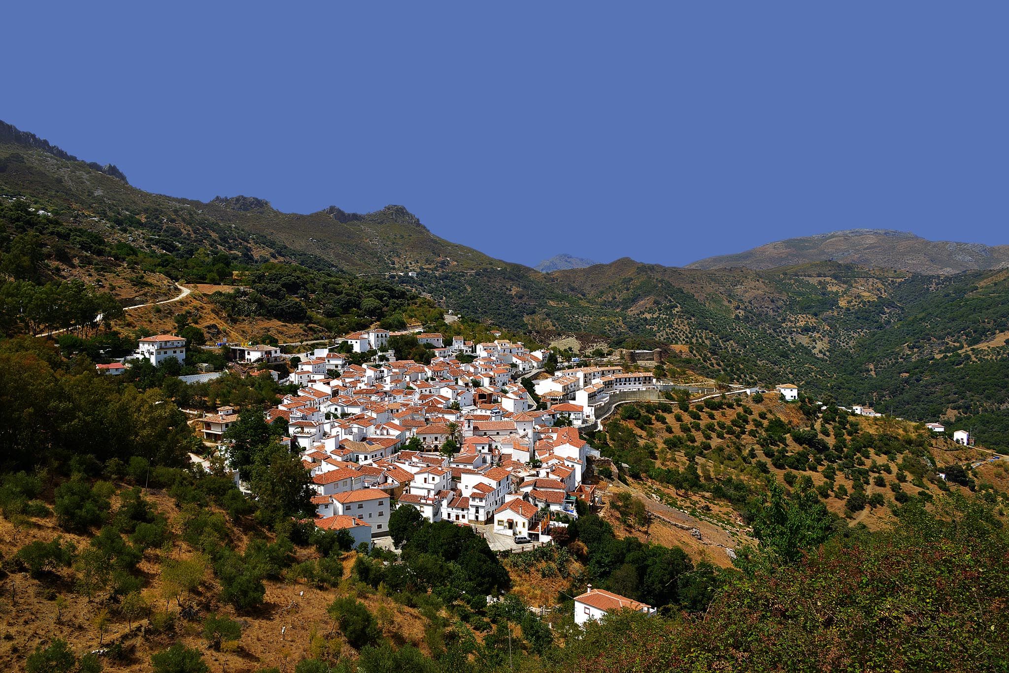
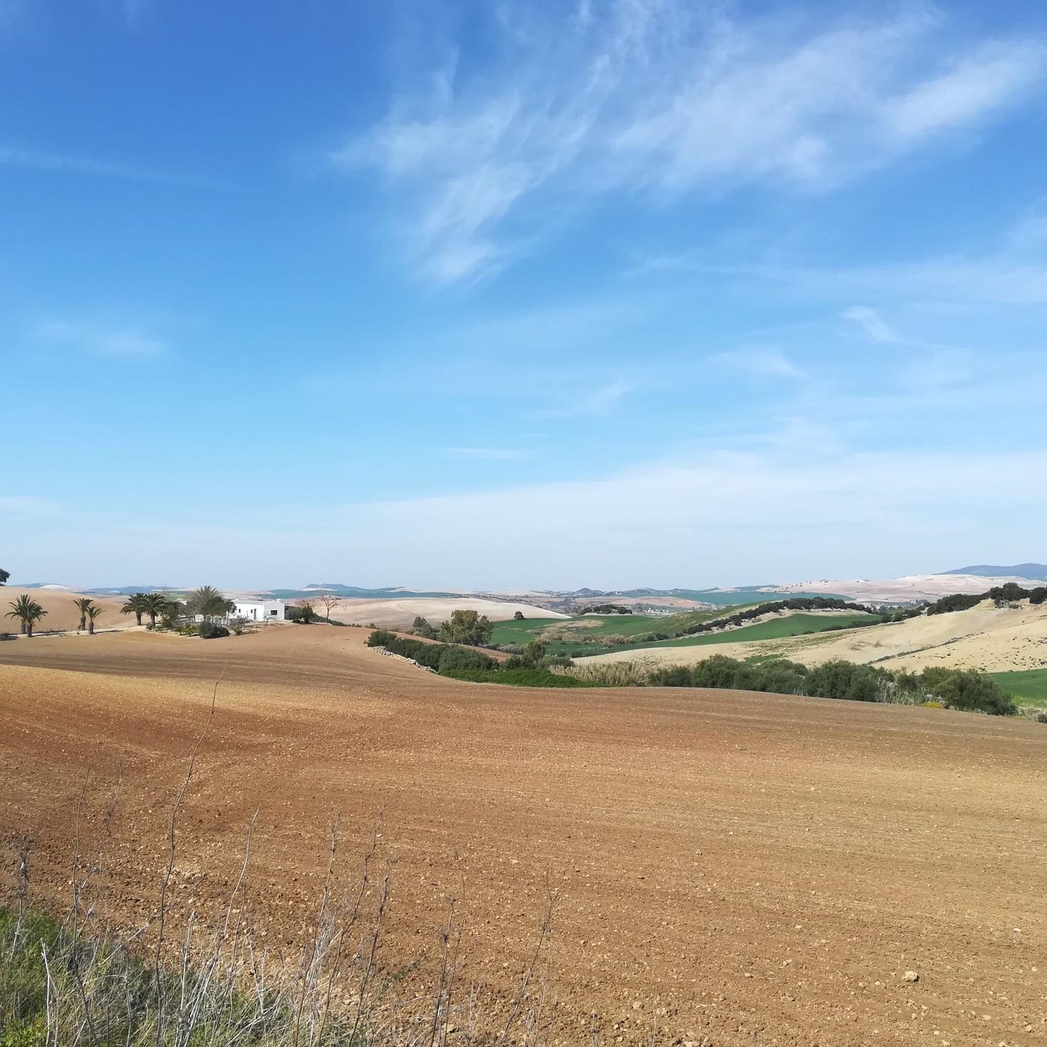
Hiking around Villamartín, located in the province of Cádiz, Spain, offers access to diverse natural landscapes. The region is characterized by rugged mountains, unique Spanish fir forests, and impressive geological formations, particularly within the nearby Sierra de Grazalema Natural Park. Varied terrain includes river valleys, old railway lines, and canal paths, providing a range of walking routes for different preferences.
Best hiking trails around Villamartín
- The most popular hiking route is Vía Verde de la Sierra Trail, an 11.3 miles (18.2 km) trail that takes about 4 hours 48 minutes to complete. This moderate route follows an old railway line, offering a path through scenic Andalusian landscapes with tunnels and viaducts.
- Another top favourite among local hikers is Majaceite River Trail – Honda Waterfall of Benamahoma loop from El Bosque, an easy 4.1 miles (6.6 km) path. This trail follows the Majaceite River, featuring gallery forests and potential wildlife sightings.
- Local hikers also love the Sierra de San Pablo y Montellano — circular from the population of Montellano, a 6.5 miles (10.5 km) trail leading through varied terrain, often completed in about 3 hours 8 minutes.
- Hiking around Villamartín is defined by rugged mountains, river valleys, and unique Pinsapo forests. The network offers options for different ability levels, from easy riverside strolls to more challenging mountain ascents.
- The routes in Villamartín are highly rated by the komoot community with an average score of 4.4 stars from over 400 reviews. More than 2000 hikers have used komoot to explore Villamartín's varied terrain.
Last updated: August 27, 2026
5.0
(1)
12
hikers
18.2km
04:48
170m
170m
Hike the Vía Verde de la Sierra Trail, a moderate 11.3-mile route through Andalusia's scenic landscapes, featuring tunnels and viaducts.
4.7
(3)
16
hikers
13.2km
03:47
330m
330m
Moderate hike. Good fitness required. Easily-accessible paths. Suitable for all skill levels.

Sign up for free
5.0
(3)
24
hikers
3.73km
01:09
140m
130m
Easy hike. Great for any fitness level. Easily-accessible paths. Suitable for all skill levels.
4.7
(3)
14
hikers
10.1km
02:52
220m
220m
Moderate hike. Good fitness required. Easily-accessible paths. Suitable for all skill levels.
3.0
(1)
5
hikers
7.39km
02:06
170m
170m
Moderate hike. Good fitness required. Easily-accessible paths. Suitable for all skill levels.
Get access to more routes and recommendations from other explorers.
Sign up for free
Already have an account?
Our route recommendations are based on thousands of hikes, rides, and runs completed by other people on komoot.
Start today with a free account
Your next adventure awaits.
Login or Signup
Other adventures around Villamartín

Tips from the Community

The Via Verde de la Sierra is a beautiful green route in Andalusia that starts in Puerto Serrano and ends in Olvera. This 36-kilometre route follows an old railway line that was built in the early 20th century between Jerez de la Frontera and Almargen. The route offers a unique combination of beautiful nature and historical sights, including the impressive Sierra de Cádiz and a large colony of Griffon Vultures. The route is ideal for both walking and cycling and passes through several tunnels and viaducts, making it a unique experience. Along the way you will pass through smaller villages and peaceful landscapes, making it perfect for a relaxing adventure in nature.
1
0


Beginning of the Vía Verda that goes in the direction of Coripe and where there is a place to stop and spend some time. The town of Puerto Serrano is a few meters from the start of the greenway.
1
0
Section of the greenway that goes towards the town of Coripe, where you can see some of the nearby mountain ranges called: Sierra de Vaquera and Sierra de Líjar.
2
0
Path that is a greenway that comes from the town of Puerto Serrano and that circulates following the Río Guadalete avoiding the different hills in the area called "cerros", in the Sierra de la Espuela.
2
0

The perfect grid of the urban planning of this town suggests that it is not a very old place. However, this is due to the fact that the roots of this town are found in the site of the Roman city of Iptuci, which already had a similar plan. The site was declared an Asset of Cultural Interest.
2
0
Frequently Asked Questions
How many hiking trails are available around Villamartín?
There are over 45 hiking routes around Villamartín, catering to various preferences and skill levels. You'll find a good mix, with 14 easy trails, 28 moderate options, and 3 more challenging routes.
Are there any easy, family-friendly walks near Villamartín?
Yes, the region offers several easy trails perfect for families. A great option is the Majaceite River Trail – Honda Waterfall of Benamahoma loop from El Bosque. This 6.5 km path follows the Majaceite River, featuring beautiful gallery forests and the chance to spot wildlife like otters. Another easy choice is the View of the Majaceite Valley – Honda Waterfall of Benamahoma loop from El Bosque, a 5.7 km route offering scenic views.
What kind of natural features can I expect to see on hikes around Villamartín?
Hiking around Villamartín offers diverse natural beauty. You'll encounter rugged mountains, unique Spanish fir (Pinsapo) forests, impressive geological formations like canyons, and lush river valleys. The area is part of the Sierra de Grazalema Natural Park, known for its rich vegetation and varied ecosystems.
Are there any circular hiking routes in the area?
Yes, you can find circular routes. One popular option is the Sierra de San Pablo y Montellano — circular from the population of Montellano. This moderate 10.5 km trail takes about 3 hours to complete and leads through varied terrain.
What are some notable landmarks or attractions along the trails?
Many trails offer interesting sights. Along the Vía Verde de la Sierra Trail, you can experience old railway tunnels and the impressive Viaducto de Los Azares. The Majaceite River Trail features historical points like old mills and the Fábrica de Luz, as well as the Ruins of the Majaceite River Water Mill. The ancient Dolmen Alberite is also a picturesque attraction in the region.
What do other hikers say about the trails around Villamartín?
The trails around Villamartín are highly regarded by the komoot community, holding an average rating of 4.4 stars from over 400 reviews. Hikers often praise the diverse landscapes, from river valleys to rugged mountains, and the unique natural features like the Pinsapo forests.
Are there any trails that follow old railway lines?
Yes, the Vía Verde de la Sierra Trail is a moderate 18.2 km route that follows an old railway line. It offers a unique experience through scenic Andalusian landscapes, including tunnels and viaducts.
Are there any challenging hikes for experienced trekkers?
For those seeking more challenging hikes, the Sierra del Pinar within the Grazalema Natural Park is home to the unique Pinsapar forest. The Sendero del Pinsapar is a well-known route in this area, though access to certain sections requires permits and is restricted to specific times of the year and a limited number of visitors.
What is the best time of year to go hiking in Villamartín?
The Sierra de Grazalema Natural Park, which is easily accessible from Villamartín, is known as one of the rainiest areas in the Iberian Peninsula. This contributes to its lush vegetation. Generally, spring and autumn offer pleasant temperatures for hiking, while summer can be very hot. Winter can be a good time for hiking, but some higher altitude trails might be affected by weather conditions.
Are there any trails with waterfalls or river features?
Yes, the Majaceite River Trail is an excellent choice for river features. It follows the Majaceite River between El Bosque and Benamahoma, offering beautiful gallery forests and the chance to see the Honda Waterfall of Benamahoma.
Can I find trails that are suitable for cycling as well?
The Vía Verde de la Sierra, which is 90% gravel, is a popular route that is also suitable for cycling. It provides a relatively accessible path through scenic landscapes, following an old railway line.
Most popular routes around Villamartín
Most popular attractions around Villamartín

Get inspired with the komoot mobile app


Explore more
Browse the best Hikes in other regions.
