The best cycling routes around Sierra Perenxisa
4.3
(96)
1,103
riders
103
rides
Touring cycling routes around Sierra Perenxisa traverse a mountainous area that forms part of the Iberian System, situated close to the Valencian coast. This region features a diverse landscape of Mediterranean scrubland and pine forests, with barrancos (ravines) carving through its geological formations. From its highest points, which are hills under 200m, cyclists can experience panoramic views of the Valencian coastal plain. The terrain offers a mix of paved and unpaved sections, suitable for various touring cycling preferences.
Best touring…
Last updated: August 15, 2026
13
riders
Moderate bike ride. Good fitness required. Mostly paved surfaces. Suitable for all skill levels.
11
riders
Moderate bike ride. Good fitness required. Mostly paved surfaces. Suitable for all skill levels.

Sign up for free
8
riders
Hard bike ride. Very good fitness required. Mostly paved surfaces. Suitable for all skill levels.
4
riders
Moderate bike ride. Good fitness required. Mostly paved surfaces. Suitable for all skill levels.
3.0
(1)
4
riders
Moderate bike ride. Good fitness required. Mostly paved surfaces. Suitable for all skill levels.
Get access to more routes and recommendations from other explorers.
Sign up for free
Already have an account?
Our route recommendations are based on thousands of hikes, rides, and runs completed by other people on komoot.
Start today with a free account
Your next adventure awaits.
Login or Signup

Tips from the Community

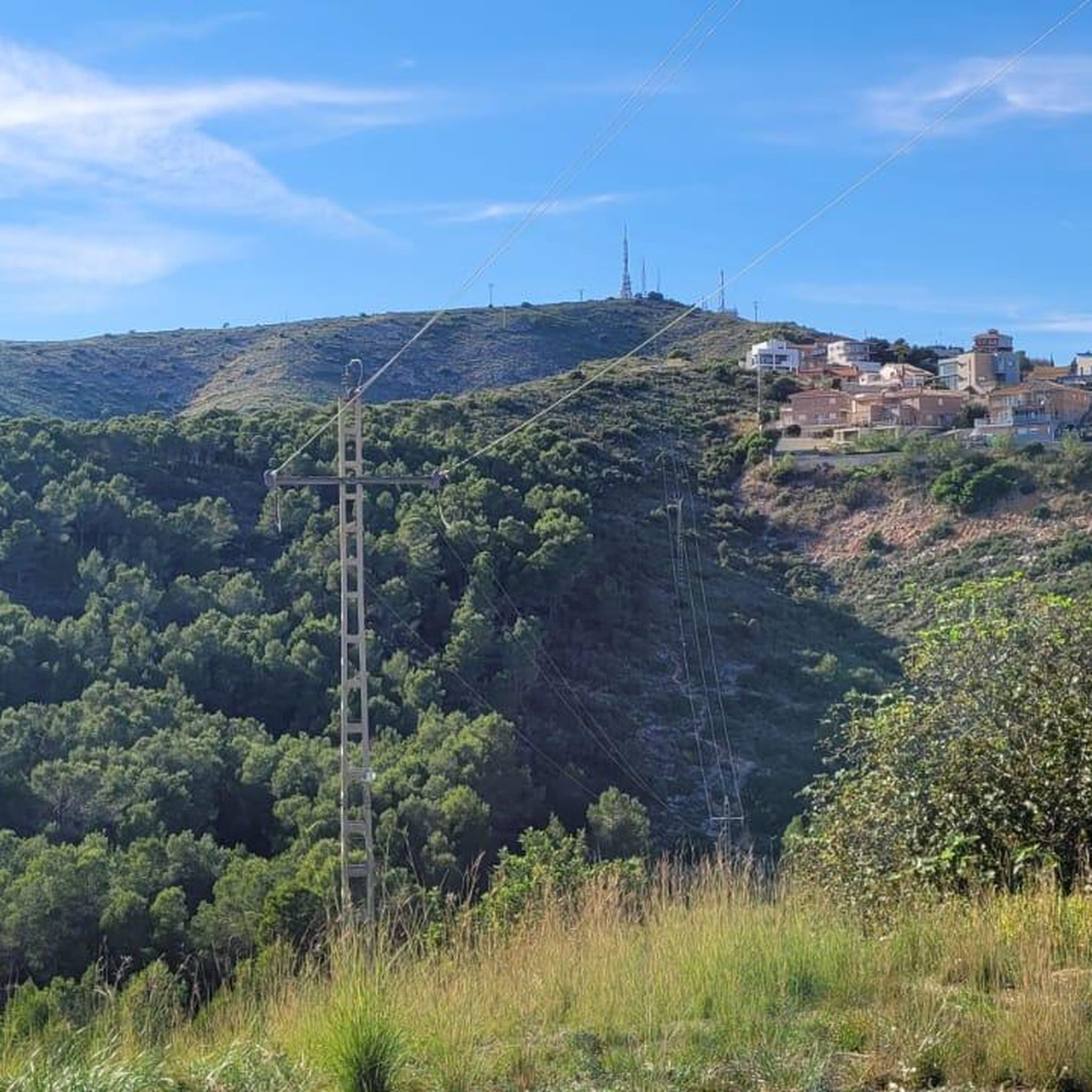
Very good views from above.
1
0

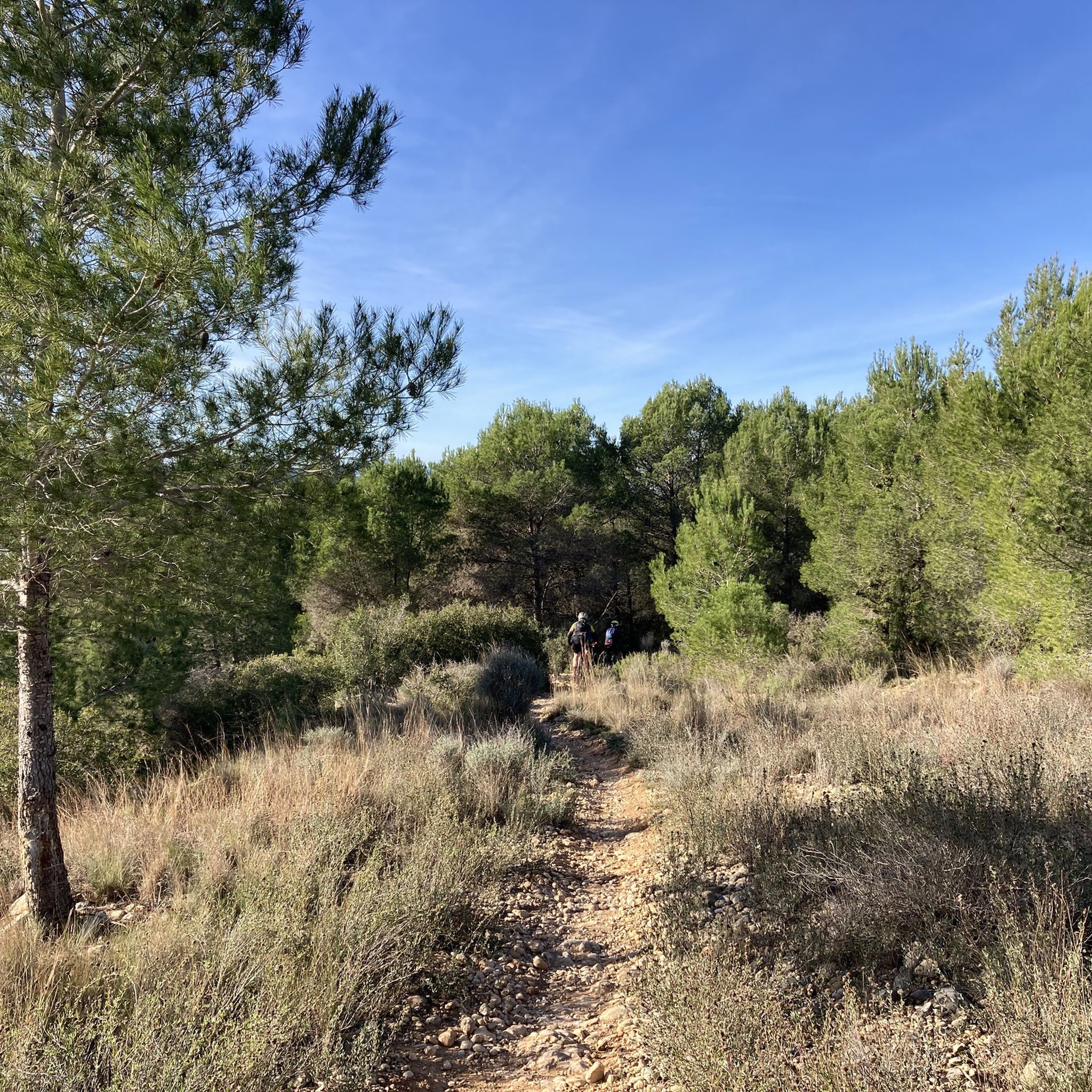
A good place to rest en route, with a pine forest, benches and a children's park.
1
1
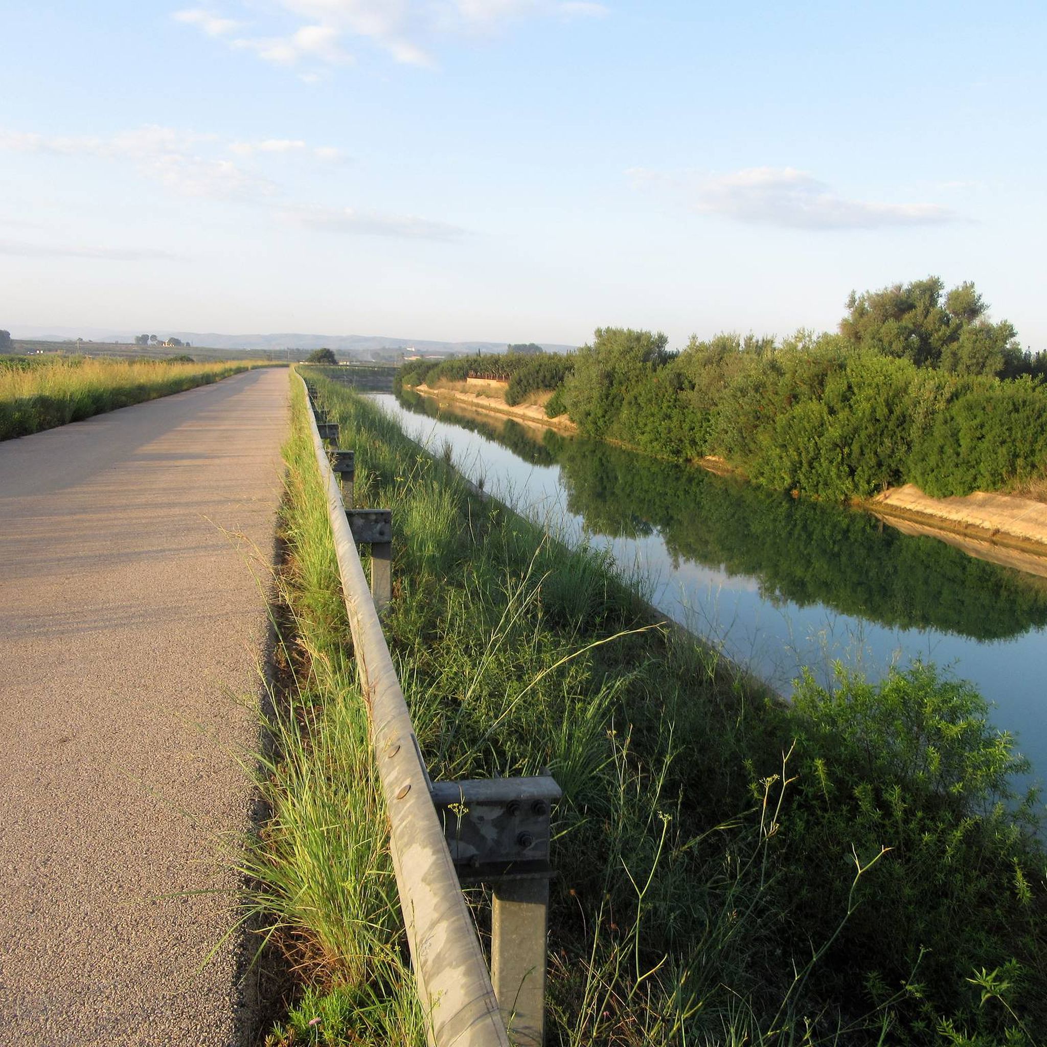
Old royal canada. It combines stretches with asphalt and others with dirt.
1
0
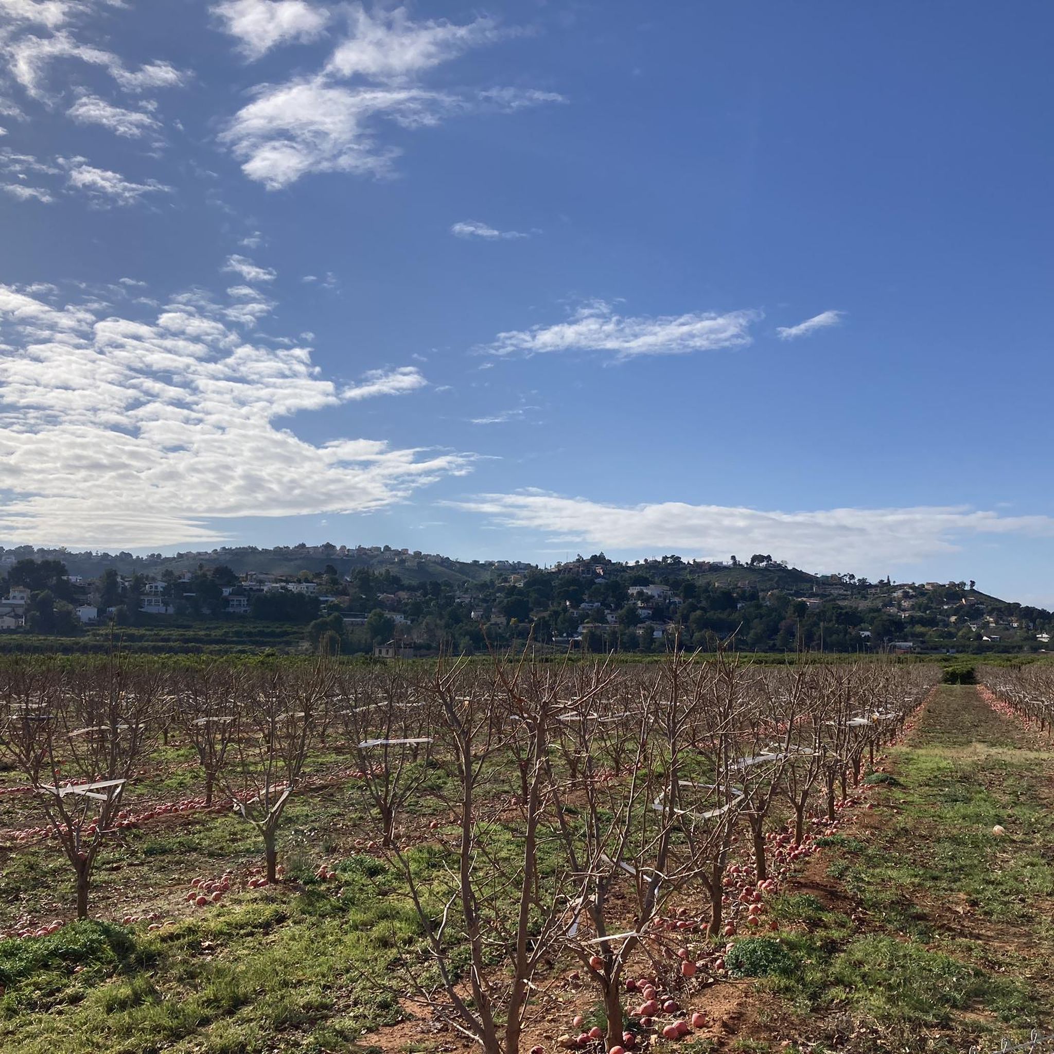
Access road to the town of Cortitxelles, near a farmhouse with the appearance of a castle.
1
0
Cortixelles is a small house built during the 1950s and intended for those affected by the construction of the Alarcón swamp, but which was finally occupied by returnees from Morocco in the 1960s. The National Institute of Colonization acquired the property and Masia de Cortixelles and other small extensions in the surrounding area, in the municipalities of Torís, Godelleta and Torrent, for the installation of several residents of Valverde de Júcar (Conca) affected by the construction of the Alarcón swamp. The whole of the land formed what was called the core of Cortixelles, and the improvements to increase the productivity of the land consisted of the transformation into irrigation through the capture of water, the systematization of the land and the construction of the village to install thirty settlers. The town hall, the church, the schools and an access bridge to the village were built, saving the ravine from the blasques. Currently, communications have improved a little, but there are still several problems linked to its geographical isolation, in the supply of drinking water among other things. With about 46 inhabitants (2008 census) - its population triples during the summer months - Cortitxelles is a quiet town with wide landscaped streets with the typical architecture of white houses of the newly created towns of the time, such as Marines, Sant Antoni de Benaixeve, Loriguilla... surrounded by dry land and pine forests.
1
0
Narrow bridge to cross the ravine of Cortixelles in an area of dense vegetation.
1
0
The Camí de la Pardala allows you to bypass the Calicanto urbanization without going through the main streets. And this shortcut connects with the exit for Carrer Torrent and the Galleg ravine.
1
0
From this point, located at the entrance to the Calicanto urbanization, you can see the ravine from above.
1
0
Frequently Asked Questions
How many touring cycling routes can I find in Sierra Perenxisa?
Sierra Perenxisa offers a wide selection of touring cycling routes, with over 100 options available. These routes cater to various preferences, including easy, moderate, and difficult trails, ensuring there's something for every cyclist.
What kind of terrain can I expect on touring cycling routes in Sierra Perenxisa?
The terrain in Sierra Perenxisa is diverse, featuring a blend of Mediterranean scrubland and pine forests. You'll encounter both paved and unpaved sections, with barrancos (ravines) carving through the geological formations. Routes vary in elevation gain, from gentle rides to more challenging climbs.
Are there any family-friendly touring cycling routes in Sierra Perenxisa?
Yes, Sierra Perenxisa offers several touring cycling routes suitable for families. Many of the easier and moderate routes have minimal elevation gain and shorter distances, making them enjoyable for all ages. Look for routes under two hours with less than 500 ft of elevation gain for a more relaxed family experience.
What are some notable viewpoints or natural features to look out for while cycling?
From the higher points of Sierra Perenxisa, you can enjoy magnificent panoramic views of the Valencian coastal plain, with the prominent Albufera lagoon visible in the distance. Specific viewpoints include the Calicanto Antennas – View of Valencia. You might also encounter the Barranc de Galleç Waterfall, a beautiful natural attraction.
Are there any circular touring cycling routes in the area?
Yes, many of the touring cycling routes in Sierra Perenxisa are designed as loops, allowing you to start and finish at the same point. Examples include the moderate View of the Antennas Hill loop from Paratge Natural Municipal Serra Perenxisa, which takes about 1 hour 38 minutes, or the shorter Serra Perenxisa Summit – Large mural on the facade loop from Paratge Natural Municipal Serra Perenxisa.
What do other cyclists say about touring cycling in Sierra Perenxisa?
The touring cycling routes in Sierra Perenxisa are highly regarded by the komoot community, with an average rating of 4.5 stars from over 80 reviews. Cyclists often praise the diverse landscapes, the mix of paved and unpaved sections, and the rewarding panoramic views over the Valencian coastal plain.
What is the best time of year to go touring cycling in Sierra Perenxisa?
Sierra Perenxisa, with its Mediterranean climate, is generally pleasant for touring cycling for much of the year. Spring and autumn offer mild temperatures and lush scenery, making them ideal. Even in winter, many days are suitable for cycling, though summer can be hot, especially during midday.
Are there any challenging touring cycling routes for experienced riders?
Absolutely. For experienced touring cyclists seeking a challenge, routes like the Road to Valencia – Restaurante El Canario loop from Paratge Natural Municipal Serra Perenxisa offer significant elevation gain over 43.2 km, typically taking nearly three hours. Another demanding option is the Camino Real Viejo – Fuente Incolla loop from Chiva, CV-417 - Casa de la Boira, a 47.6 km route with substantial climbing.
Are dogs allowed on the touring cycling trails in Sierra Perenxisa?
While the natural park is a great place for outdoor activities, specific rules regarding dogs on cycling trails can vary. It's generally advisable to keep dogs on a leash and ensure they are well-behaved, especially in areas with wildlife. Always check local signage for any specific restrictions within the Municipal Natural Park.
Are there any places to eat or find accommodation near the touring cycling routes?
Sierra Perenxisa is situated between the Horta Sud and Foia de Bunyol regions, offering accessibility to nearby towns and urbanizations. You can find cafes, pubs, restaurants, and accommodation options in the surrounding areas, making it convenient to refuel or stay overnight after your ride.
What are the parking options for cyclists visiting Sierra Perenxisa?
Given its proximity to urban areas and its status as a Municipal Natural Park, there are typically parking facilities available at common access points or trailheads around Sierra Perenxisa. Look for designated parking areas near towns or urbanizations that border the park for convenient access to the cycling routes.
Can I reach Sierra Perenxisa's cycling routes using public transport?
Sierra Perenxisa is located near Valencia, and public transport options may be available to reach the general vicinity. However, direct public transport access to specific trailheads with bike carriage facilities might be limited. It's recommended to check local bus or train services connecting to nearby towns and then plan your route from there.
Do I need a permit to cycle in Sierra Perenxisa?
Sierra Perenxisa is a Municipal Natural Park, and generally, recreational cycling on established trails does not require a specific permit. However, it's always good practice to respect park regulations, stay on marked paths, and be mindful of the natural environment. There are no indications of specific cycling permits being required for general touring.
Most popular routes around Sierra Perenxisa
Most popular attractions around Sierra Perenxisa

Get inspired with the komoot mobile app


Explore more
Browse the best Cycling routes in other regions.
