The best walks and hikes around Rabanera Del Pinar
4.8
(25)
164
hikers
32
hikes
Hiking around Rabanera Del Pinar, located in the Sierra de la Demanda, offers a diverse landscape characterized by mountainous and wooded terrain. The region features extensive forests of Scots pine and oak trees, providing a serene environment for nature walks. Elevations reach over 1200 meters, with the village itself at approximately 1080 meters above sea level. The Río Lobos traverses the southern area, featuring unique geological formations like the Río Lobos Sinkhole.
Best hiking trails around Rabanera Del Pinar
- The…
Last updated: June 30, 2026
14.2km
03:48
170m
170m
Moderate hike. Good fitness required. Mostly accessible paths. Sure-footedness required.
13
hikers
5.77km
01:33
70m
70m
Easy hike. Great for any fitness level. Easily-accessible paths. Suitable for all skill levels.

Sign up for free
5.0
(2)
9
hikers
7.93km
02:18
210m
210m
Moderate hike. Good fitness required. Easily-accessible paths. Suitable for all skill levels.
5.0
(1)
10
hikers
13.2km
03:35
190m
190m
Moderate hike. Good fitness required. Easily-accessible paths. Suitable for all skill levels.
8
hikers
11.8km
03:16
210m
210m
Moderate hike. Good fitness required. Easily-accessible paths. Suitable for all skill levels.
Get access to more routes and recommendations from other explorers.
Sign up for free
Already have an account?
Our route recommendations are based on thousands of hikes, rides, and runs completed by other people on komoot.
Start today with a free account
Your next adventure awaits.
Login or Signup
Tips from the Community

Beautiful town to enjoy nature.
0
0
A beautiful town in the Pinares region
0
0
A nice and peaceful place for sightseeing.
0
0
Nice area for outdoor activities.
0
0
Nice area for outdoor activities.
0
0
Nice area for outdoor activities.
0
0
Frequently Asked Questions
How many hiking trails are available around Rabanera del Pinar?
There are over 30 hiking routes available around Rabanera del Pinar, offering a variety of experiences for different skill levels. You'll find everything from easy strolls to more challenging excursions through the region's diverse landscapes.
What kind of terrain can I expect on hikes in Rabanera del Pinar?
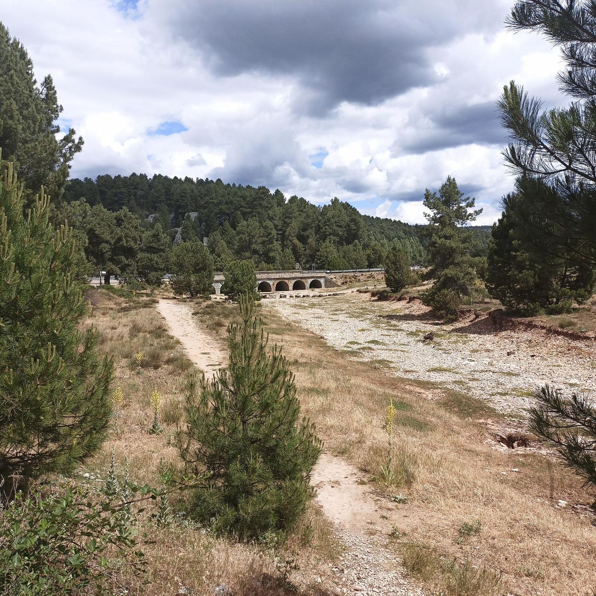
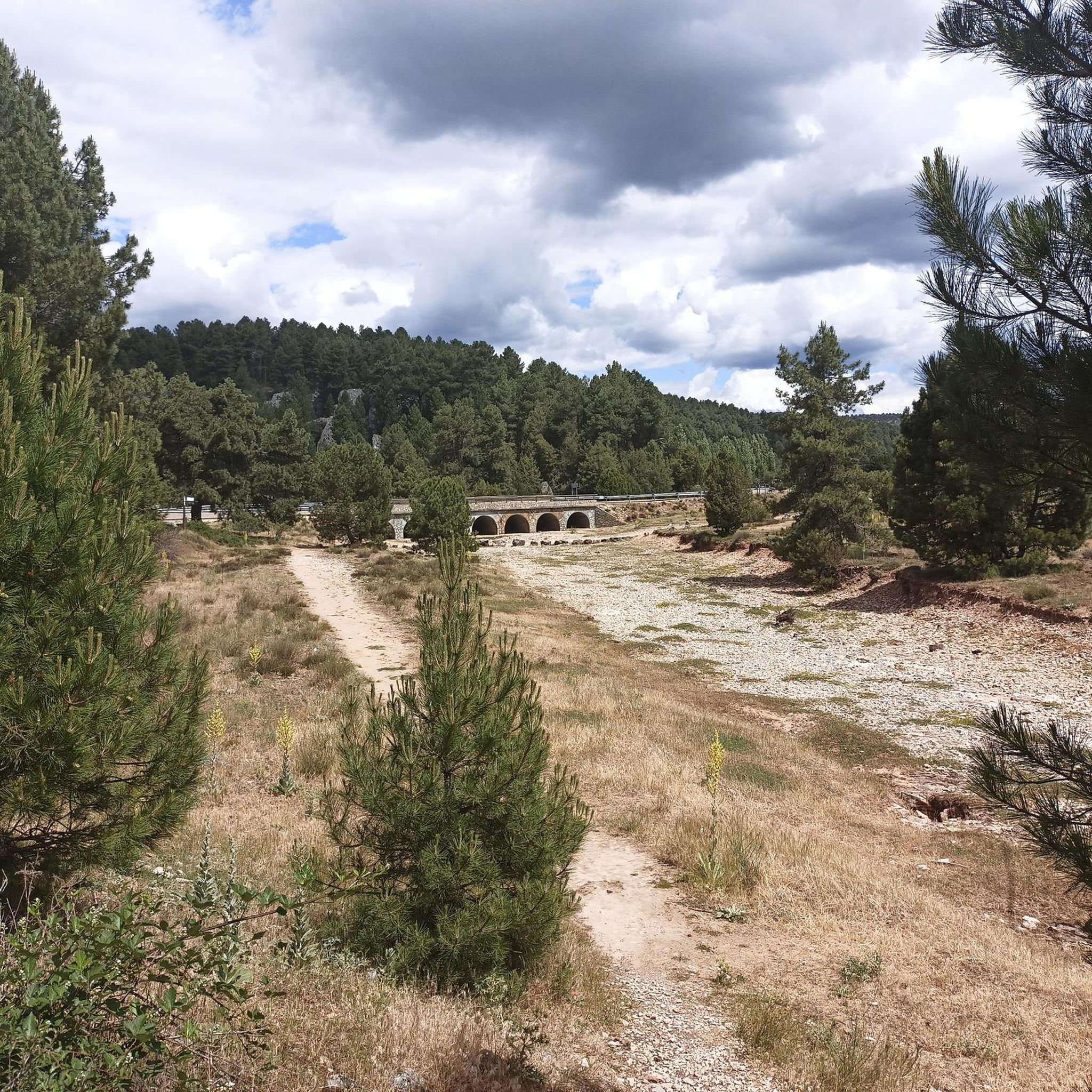
The terrain around Rabanera del Pinar is characterized by a mountainous and wooded landscape, with elevations reaching over 1200 meters. You'll primarily hike through extensive forests of Scots pine and oak trees, with undulating geography and beautiful valleys. The area also features unique geological formations, particularly around the Río Lobos.
Are there easy hiking trails suitable for beginners or families?
Yes, Rabanera del Pinar offers several easy hiking trails. For instance, the Footbridge over the Río Lobos – Fuente de los Agualinos loop from Hontoria del Pinar is an easy 3.5-mile (5.7 km) path that takes about 1 hour 32 minutes to complete, perfect for a relaxed outing. In total, there are 10 easy routes to choose from.
What natural features or landmarks can I see along the trails?
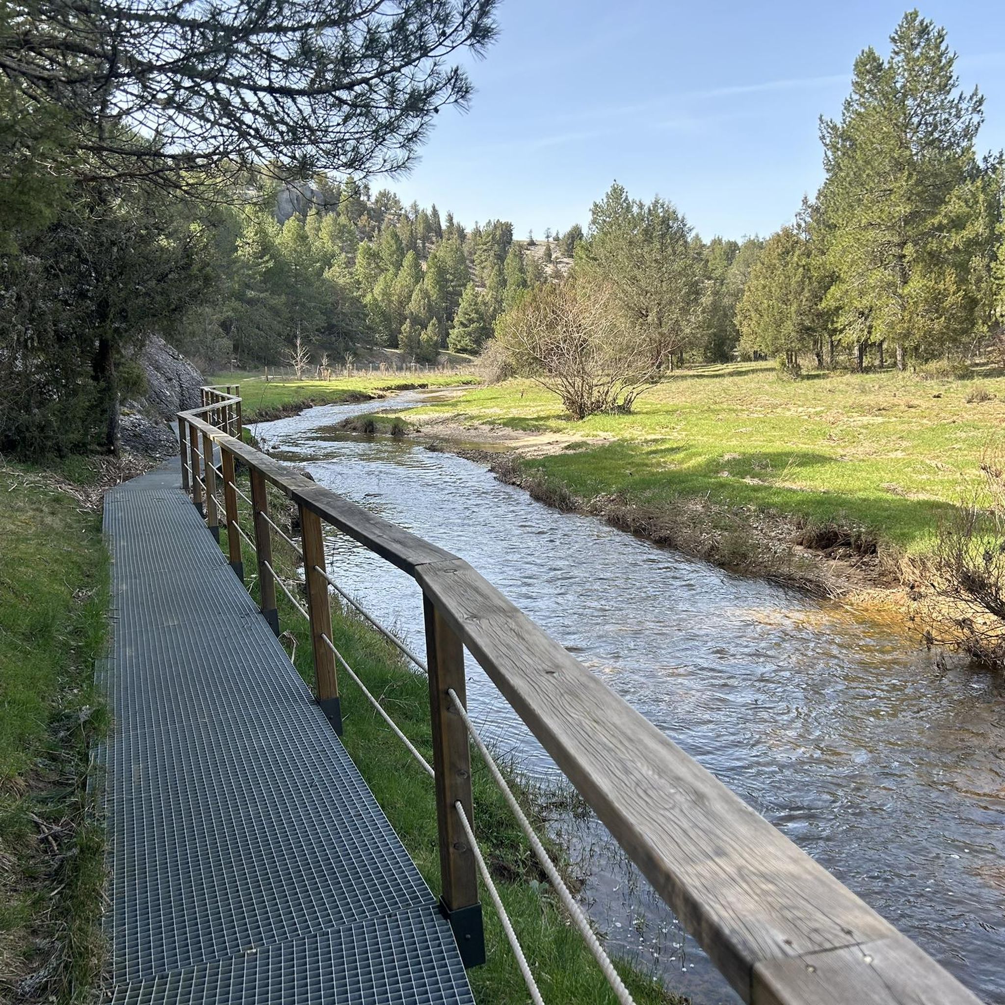
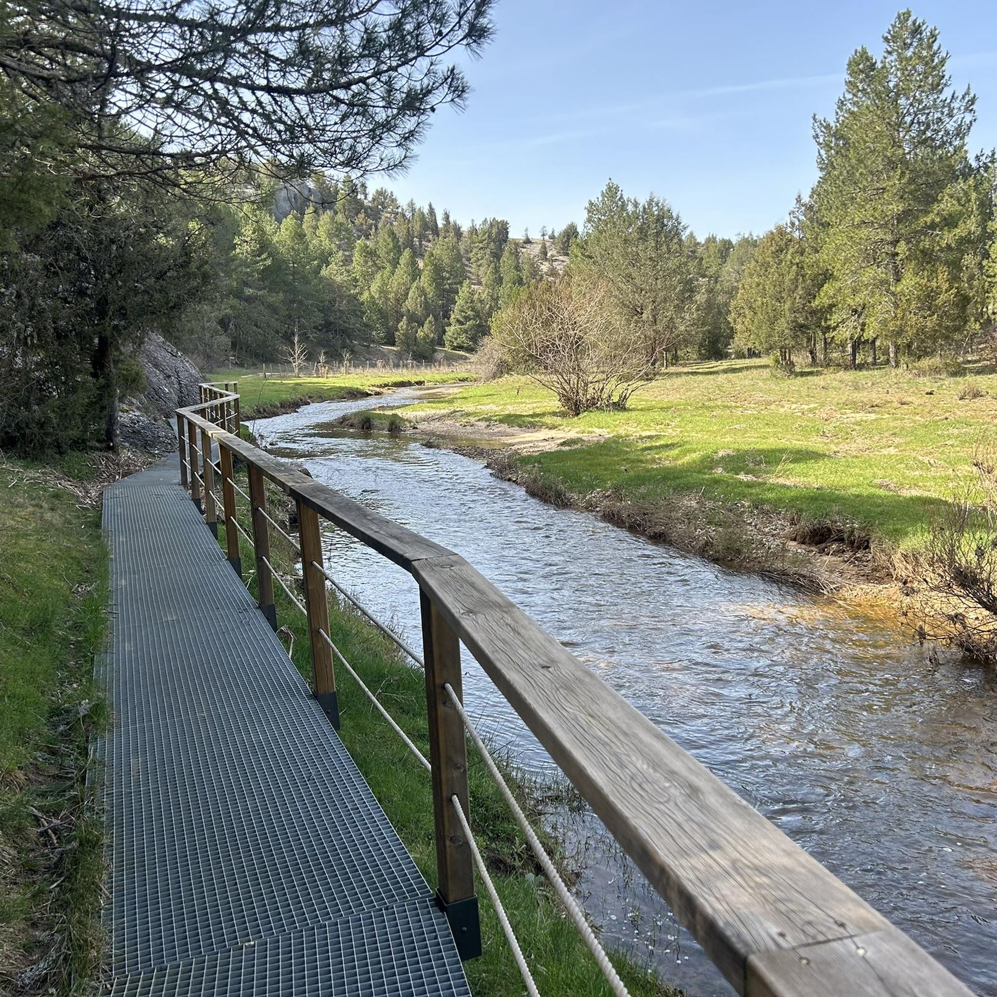
Hikers can explore several notable natural features. The Footbridge over the Río Lobos and the unique Río Lobos Sinkhole are prominent attractions where the river goes underground. You might also encounter the El Apretadero Spring and the La Torca Ancha cave, adding to the region's natural beauty.
Are there any circular hiking routes in the area?
Yes, many routes in Rabanera del Pinar are circular, allowing you to start and end at the same point. A popular option is the Aldea del Pinar y Rabanera del Pinar — circular by the Camino de Santiago, a moderate 8.8-mile (14.2 km) trail that takes about 3 hours 48 minutes and passes through local villages.
What do other hikers enjoy most about hiking in Rabanera del Pinar?
The area is highly rated by the komoot community, with an average score of 4.9 stars from over 20 reviews. Hikers often praise the serene environment, the extensive pine and oak forests, and the tranquility that allows for a deep connection with nature. The diverse trails and unique features like the Río Lobos are also frequently highlighted.
Can I bring my dog on the hiking trails?
Many trails in Rabanera del Pinar are suitable for dogs, especially those through the extensive forests. However, it's always recommended to keep your dog on a leash, especially in areas with wildlife or near livestock, and to check specific trail regulations if you plan to enter protected natural areas.
What is the best time of year to go hiking in Rabanera del Pinar?
The region is beautiful year-round, but summer is a popular time, especially for routes like the 'Ruta del Boletus'. The extensive forests provide shade, making it pleasant even on warmer days. Spring and autumn offer vibrant colors and comfortable temperatures, ideal for enjoying the natural scenery and mycological heritage.
Are there opportunities to spot wildlife or unique flora?
Yes, the vast pine and oak forests are home to diverse flora and fauna. You can enjoy birdwatching and might spot various forest animals. The area is also renowned for its mycological heritage, with edible mushrooms like boletus, níscalo, and senderilla found in the pine forests, particularly in autumn.
Where can I park when visiting the trails in Rabanera del Pinar?
Parking is generally available in and around the village of Rabanera del Pinar, as well as at trailheads for popular routes. For specific routes starting from nearby villages like Hontoria del Pinar, you'll typically find parking options there as well.
Are there any challenging hiking routes for experienced hikers?
While most routes are easy to moderate, there is at least one difficult route for those seeking a greater challenge. The undulating mountainous terrain and significant altitudinal variations in some areas provide opportunities for more strenuous hikes, such as the Alto de la Lobera – Rabanera del Pinar loop from Rabanera del Pinar, which covers nearly 12 km with over 200 meters of elevation gain.
What is the 'Ruta del Boletus' and where does it go?
The 'Ruta del Boletus' is a popular circular route, approximately 12.82 kilometers long, known for its low difficulty and mycological interest. It pays homage to the rich mushroom heritage of the pine forests and often passes through charming villages like La Aldea del Pinar, showcasing traditional architecture and forest tracks flanked by pine and oak trees.
Most popular routes around Rabanera Del Pinar
Most popular attractions around Rabanera Del Pinar

Get inspired with the komoot mobile app


Explore more
Browse the best Hikes in other regions.
