The best walks and hikes around Campolara
4.2
(13)
95
hikers
21
hikes
Hiking around Campolara offers access to diverse natural landscapes within the Burgos province. The region is characterized by areas featuring dramatic canyons, such as those found in Cañón del Río Lobos Natural Park, and extensive forests of beech, holm oak, and pine. Unique juniper forests are also present, contributing to varied terrain suitable for exploration. These natural features provide a range of environments for outdoor activities.
Best hiking trails around Campolara
- The most popular hiking route is Quintanilla de las…
Last updated: October 15, 2026
3.0
(1)
8
hikers
17.7km
04:55
330m
330m
Moderate hike. Good fitness required. Mostly accessible paths. Sure-footedness required.
1
hikers
11.9km
03:37
400m
400m
Moderate hike. Good fitness required. Mostly accessible paths. Sure-footedness required.

4.0
(1)
2
hikers
20.0km
05:42
450m
450m
Hard hike. Very good fitness required. Mostly accessible paths. Sure-footedness required.
16.5km
04:29
240m
230m
Moderate hike. Good fitness required. Mostly accessible paths. Sure-footedness required.
5.0
(2)
15
hikers
12.4km
03:46
410m
410m
Moderate hike. Good fitness required. Mostly accessible paths. Sure-footedness required.
Get access to more routes and recommendations from other explorers.
Already have an account?
Our route recommendations are based on thousands of hikes, rides, and runs completed by other people on komoot.
Start today with a free account
Your next adventure awaits.
Tips from the Community

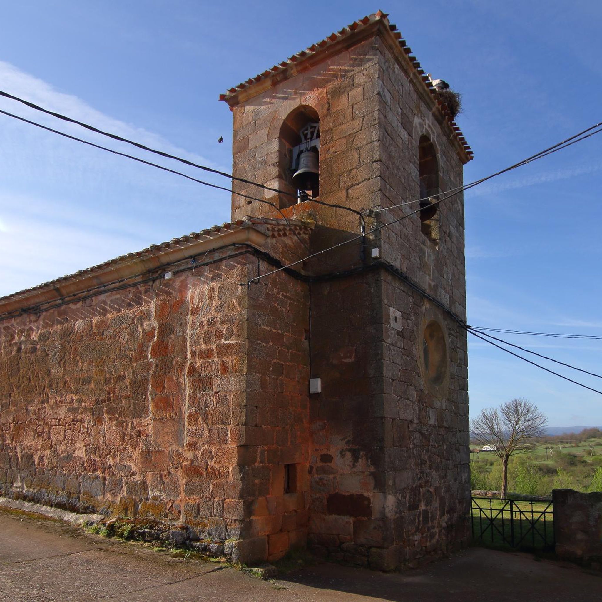
This humble rural church stands out for housing an authentic artistic gem inside: an exceptional Romanesque baptismal font from the 12th century.
0
0
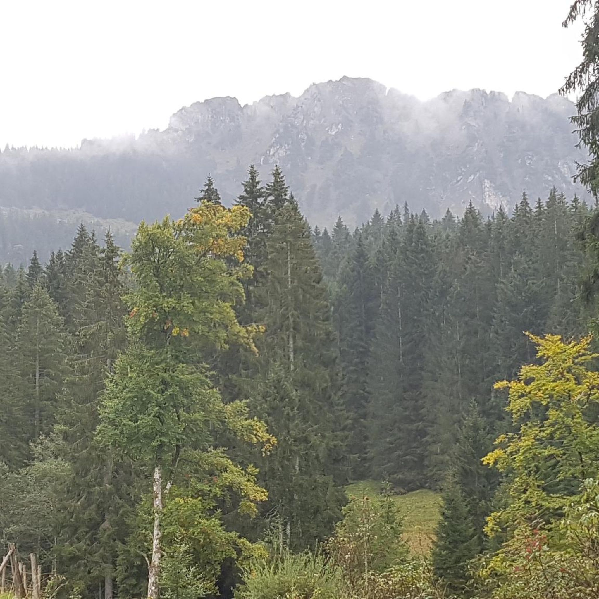
The summit of Peñalara in Burgos (also known as Peña Lara or Sierra de Lara) rises to 1,296 meters in altitude in the heart of the Sierra de la Demanda region, overlooking the historic valley of Tierra de Lara.
0
0
Peñalara is a rocky mountain range and an impressive natural viewpoint of 1,296 meters in altitude, located in the Sierra de Lara (Lara region / Sierra de la Demanda). The hike is worth it to enjoy the views from its summit.
0
0
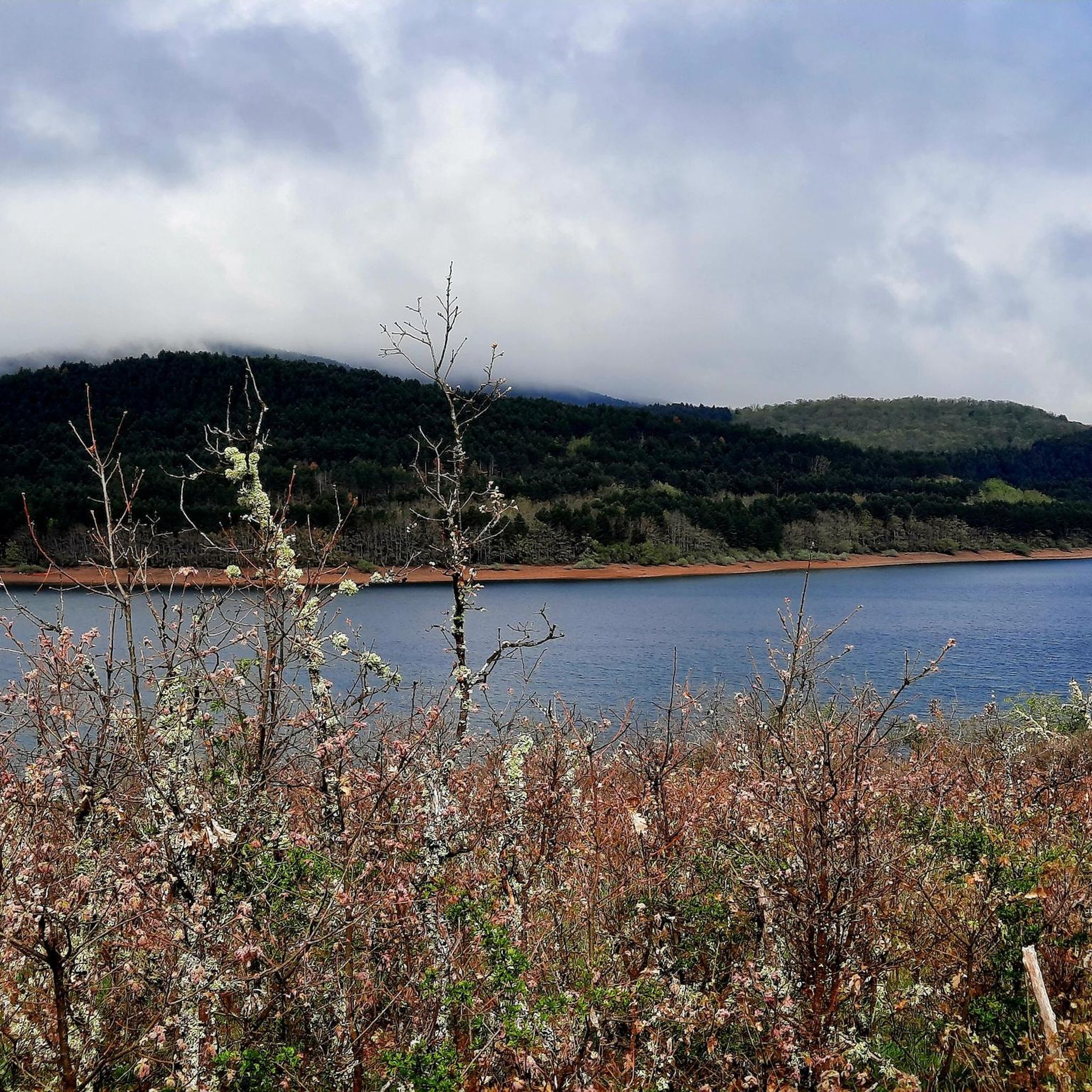
Hermitage located in a spectacular setting, at the foot of the Sierra de las Mamblas. Its origin was an old rural parish whose inhabitants, transferred to Covarrubias, wanted to preserve the temple, which is from the late 16th century.
0
0
The Cubillejo/Mazariegos dolmen is considered the prototype of the megalithic passage tomb and preserves, on one of the large stone blocks that form its structure, a series of interesting rock carvings.
0
0

a highly recommended area for hiking.
0
0
Ideal places for mountain biking and hiking routes
0
0
Impressive 7th century hermitage, if you pass near Quintanilla de las Viñas or the Lara area, don't miss it.
0
0
Frequently Asked Questions
How many hiking trails are available around Campolara?
There are 18 hiking trails available around Campolara. These routes offer a variety of experiences, from moderate walks to more challenging ascents, catering to different skill levels.
What kind of terrain can I expect on hikes near Campolara?
The terrain around Campolara is diverse, featuring dramatic canyons, extensive forests of beech, holm oak, and pine, and unique juniper forests. You can expect varied landscapes suitable for exploration, including areas with significant biodiversity.
What are the difficulty levels of hikes around Campolara?
The hikes around Campolara primarily consist of moderate trails, with 17 routes falling into this category. There is also 1 difficult trail for those seeking a greater challenge. There are no easy trails listed, suggesting most routes require a reasonable level of fitness.
Are there circular hiking routes around Campolara?
Yes, several routes around Campolara are circular. For example, the Quintanilla de las Viñas, Peñalara, and Cubillejo Dolmen Loop and the Hortigüela, Enraizados Forest and San Cristóbal Loop are popular circular options. Another notable circular route is the Mirador de las Penas del Tuero por Retuerta — circular desde Covarrubias.
What natural features or landmarks can I see while hiking near Campolara?
While hiking near Campolara, you can explore areas like the Cañón del Río Lobos Natural Park, known for its dramatic canyons and geological formations. The region also features unique juniper forests in Sabinares del Arlanza and La Yecla Natural Park. You might also encounter various peaks such as Pico Mencilla or Cerro San Cristóbal.
What historical sites or attractions can I visit near Campolara?
The area around Campolara is rich in history. You can visit the Casa de Doña Sancha or explore the Historic Center of Covarrubias. The Monastery of San Pedro de Arlanza is another significant historical site worth exploring.
What do other hikers enjoy most about hiking in Campolara?
The hiking routes in Campolara are highly rated by the komoot community, with an average score of 4.3 stars from over 5 reviews. Hikers often praise the varied terrain, the presence of diverse forests, and the scenic viewpoints found along the trails.
Are there any routes that pass through notable forests?
Yes, the region is known for its diverse woodlands. The Hortigüela, Enraizados Forest and San Cristóbal Loop specifically leads through the Enraizados Forest, offering beautiful woodland scenery. The broader area also features extensive beech, holm oak, pine, and unique juniper forests.
Can I find routes that include historical elements?
Certainly. The Quintanilla de las Viñas, Peñalara, and Cubillejo Dolmen Loop passes by historical dolmens, offering a blend of natural beauty and ancient history. Additionally, the Climb to Castillo Infantes de Lara — circular from Aceña de Lara route includes a historical castle.
Is there a specific viewpoint route recommended for scenic views?
For scenic views, consider the Mirador de las Penas del Tuero por Retuerta — circular desde Covarrubias. This trail leads through varied terrain directly to a viewpoint, offering panoramic vistas of the surrounding landscape.
What is the longest hike available around Campolara?
The longest hike listed is the Mirador de las Penas del Tuero por Retuerta — circular desde Covarrubias, which covers approximately 12.4 miles (20.0 km) and typically takes around 5 hours and 41 minutes to complete.
Are there any routes that involve climbing to a summit?
Yes, for those interested in reaching a summit, the Climb to Castillo Infantes de Lara — circular from Aceña de Lara offers an ascent to a historical castle, providing both a physical challenge and a rewarding view.
Most popular attractions around Campolara

Get inspired with the komoot mobile app


Explore more
Browse the best Hikes in other regions.
