The best running trails around Villafranca Montes De Oca
5.0
(1)
311
runners
33
runs
Jogging around Villafranca Montes De Oca offers access to the diverse landscapes of the Montes de Oca mountain range, characterized by extensive forests and varied geological formations. The region features trails along the Oca gorge and river, providing routes with varying altitudes. As a key point on the Camino de Santiago, the area also includes well-trodden paths through woodlands and open terrain, ideal for runners seeking both natural beauty and historical context.
Best jogging routes around Villafranca Montes De Oca
…Last updated: July 12, 2026
5.0
(1)
24
runners
31.8km
05:13
1,780m
1,780m
Hard run. Very good fitness required. Sure-footedness, sturdy shoes and alpine experience required.
24
runners
24.6km
03:24
960m
960m
Hard run. Very good fitness required. Mostly paved surfaces. Suitable for all skill levels.

Sign up for free
21
runners
20.5km
02:31
870m
870m
Hard run. Very good fitness required. Sure-footedness, sturdy shoes and alpine experience required.
17
runners
36.2km
05:32
1,740m
1,740m
Hard run. Very good fitness required. Sure-footedness, sturdy shoes and alpine experience required.
9
runners
21.2km
03:07
1,060m
1,060m
Hard run. Very good fitness required. Sure-footedness, sturdy shoes and alpine experience required.
Get access to more routes and recommendations from other explorers.
Sign up for free
Already have an account?
Our route recommendations are based on thousands of hikes, rides, and runs completed by other people on komoot.
Start today with a free account
Your next adventure awaits.
Login or Signup
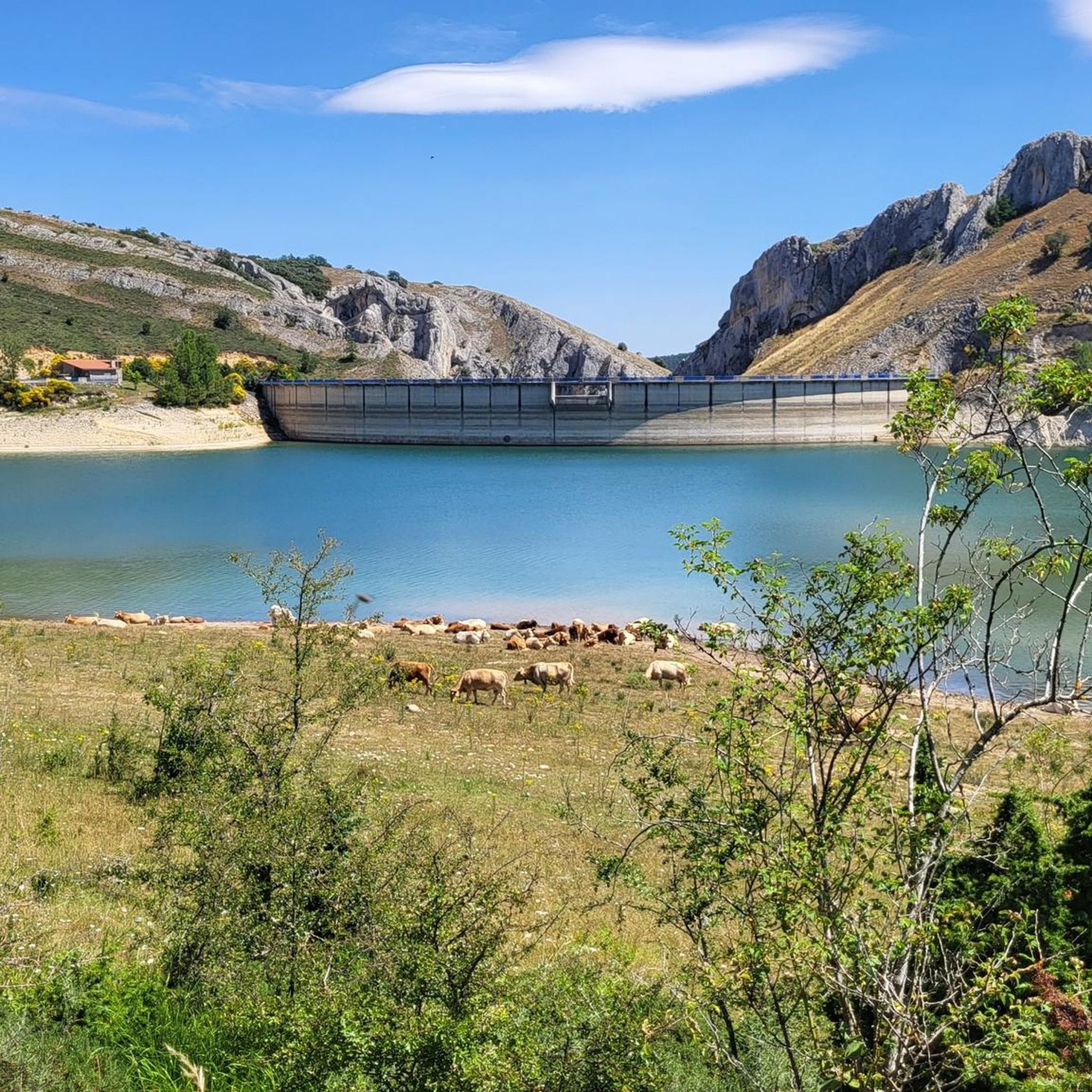
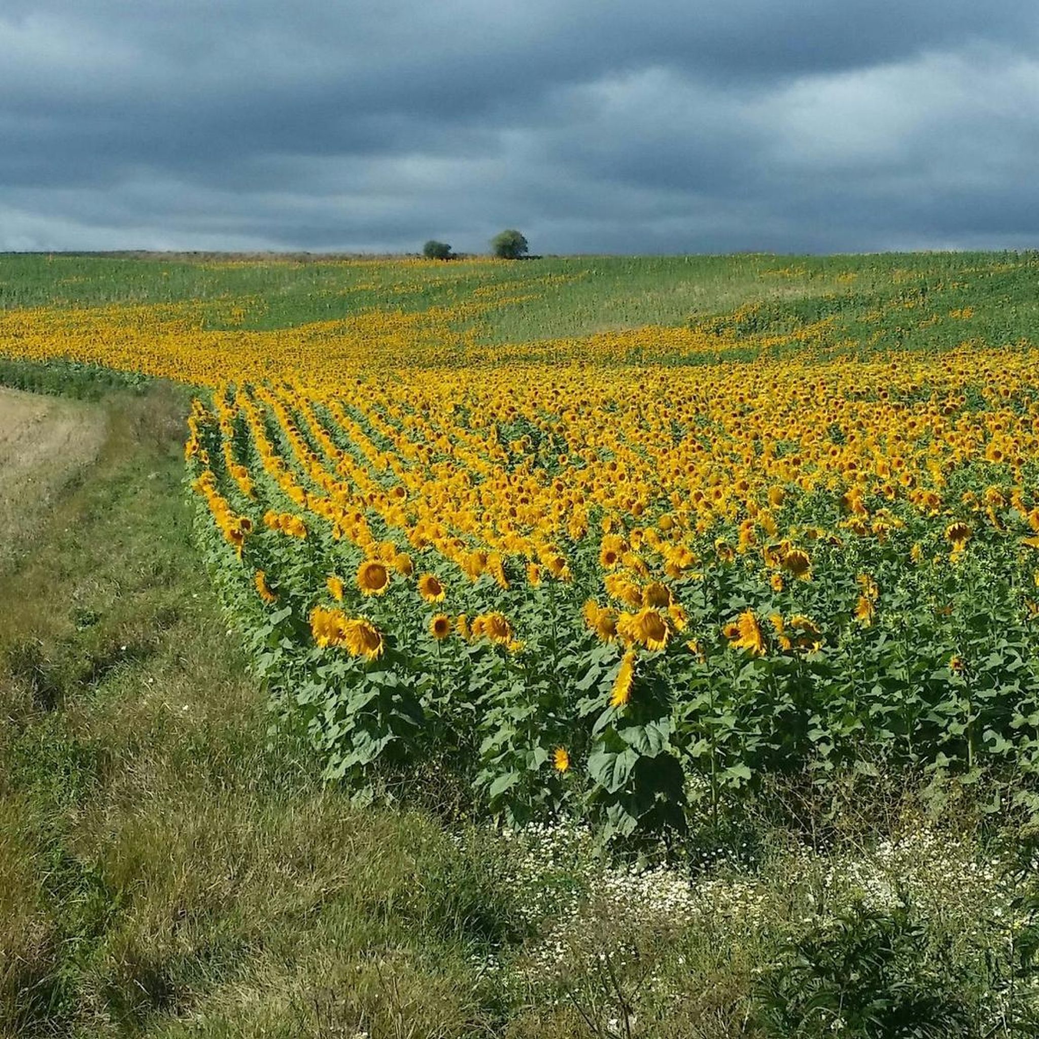
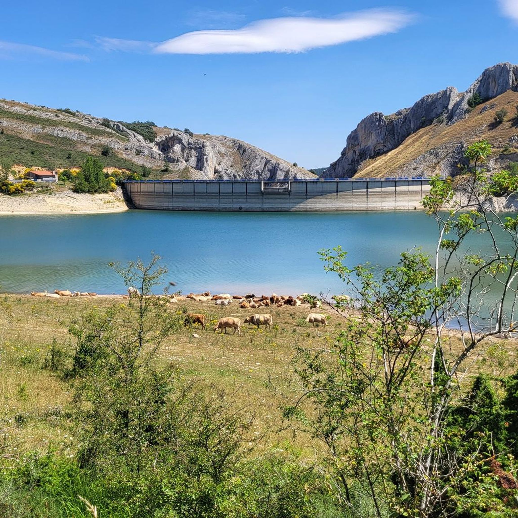
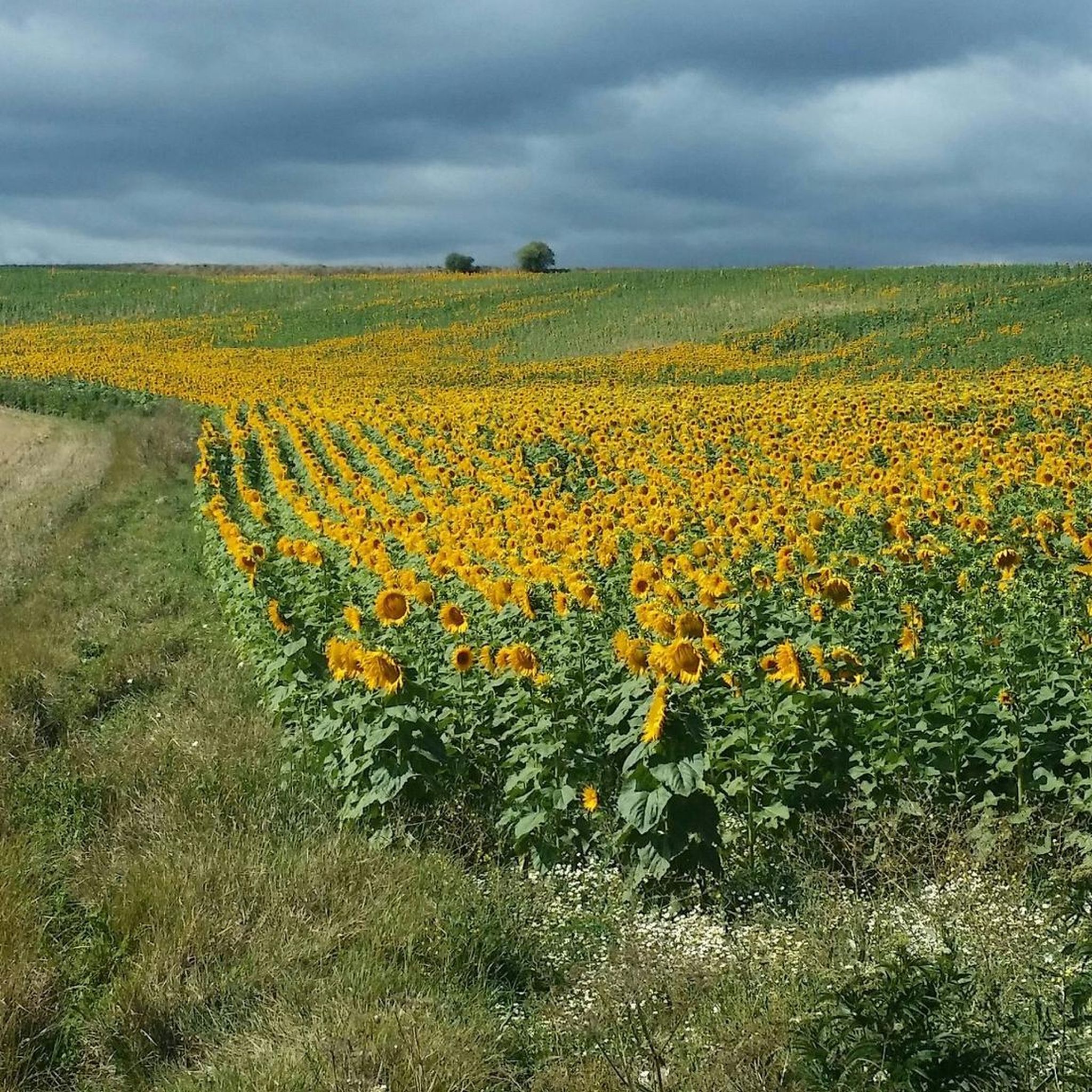
Tips from the Community

a highly recommended area for hiking.
0
0
a highly recommended area for hiking.
0
0
a highly recommended area for hiking.
0
1
Nice area for hiking and mountain biking trails in La Demanda
0
0
Nice area for hiking and mountain biking trails
0
0

The Alto de la Garrula is a halfway point from where the Sendero de las Cascadas leaves and where you can take the direction towards the highest mountains of the Sierra de la Demanda, as is the case with Pico Millán.
0
0
It is one of the waterfalls that are found in this valley and that are part of the Arroyo del Allúzarra, in the upper part of it. The waters come from the high mountains that are flanking the mountains above.
0
0
This is geographically the highest mountain in the province of Burgos and which also represents one of the roofs of the Sierra de la Demanda. At 2130 meters high, it offers impressive panoramic views of the surrounding valleys.
1
0
Frequently Asked Questions
How many running routes are available around Villafranca Montes De Oca?
There are 28 dedicated running routes around Villafranca Montes De Oca. These routes range from moderate to difficult, offering a variety of challenges for runners.
What kind of terrain can I expect on the running trails in Villafranca Montes De Oca?
The region offers diverse terrain, from the extensive forests and varied geological formations of the Montes de Oca mountain range to paths along the impressive Oca gorge and river. You'll also find sections of the historic Camino de Santiago, which can include forest paths and climbs, such as the steep ascent to Alto Pedraja.
Are there any easy jogging routes for beginners in Villafranca Montes De Oca?
While the area is known for its more challenging terrain, with 20 difficult and 8 moderate routes, there are currently no routes specifically classified as 'easy' for jogging. Beginners might find the moderate routes manageable with proper preparation, but should be aware of varying altitudes and potential climbs.
What do other runners say about the trails in Villafranca Montes De Oca?
The running routes in Villafranca Montes De Oca are highly rated by the komoot community, with an average score of 5.0 stars. Over 300 runners have used komoot to explore the varied terrain, often praising the natural beauty and the challenging yet rewarding experience.
Are there circular running routes in Villafranca Montes De Oca?
Yes, many of the running routes in the area are circular. For example, you can explore the challenging Pradoluengo Village – La Pasada Shelter loop from Pradoluengo, or the Pradoluengo Village – Cruz De Guirnaldo loop from Pradoluengo, both offering substantial climbs and varied landscapes.
What historical or cultural landmarks can I see while running in Villafranca Montes De Oca?
The region is rich in history, especially along the Camino de Santiago. You might encounter historical sites like the Monastery and Church of Saint John of Ortega, or the Artistic Oasis of the Camino de Santiago. The village itself features the Church of Santiago el Mayor and the Pilgrims' Hospital of San Antonio Abad, reflecting its deep connection to the ancient pilgrimage route.
Are there any scenic running routes with viewpoints or natural features?
Absolutely. The Montes de Oca mountain range provides stunning natural beauty. The 'Ruta del Alto Oca' guides runners through the impressive Oca gorge, following the Oca River. You can also find routes near beautiful bodies of water like the EmbalseDeAlba or the Arlanzón Reservoir, offering picturesque views.
Are the running trails in Villafranca Montes De Oca suitable for families?
Given that most routes are classified as moderate to difficult, with significant elevation changes, they might be challenging for younger children or families seeking very easy, flat paths. Families with older, experienced runners may enjoy the adventure, but it's advisable to check individual route details for distance and elevation before setting out.
Are dogs allowed on the running trails in Villafranca Montes De Oca?
Generally, dogs are welcome on many outdoor trails in rural Spain, especially in natural park areas like the Montes de Oca. However, it's always recommended to keep dogs on a leash, especially in areas with livestock or wildlife, and to check specific local regulations or signage for any restrictions on particular paths or protected areas.
What are the parking options for accessing jogging routes in Villafranca Montes De Oca?
As a village on the Camino de Santiago, Villafranca Montes De Oca typically has parking available within or on the outskirts of the village. For specific trailheads, parking can often be found in nearby towns like Pradoluengo or Alarcia, which serve as starting points for routes such as the Alarcia – Trigaza Peak loop from Alarcia. It's best to check the starting point of your chosen route for the most convenient parking.
Is public transport available to reach the running trails?
Villafranca Montes De Oca is a rural village, and while it's a key point on the Camino de Santiago, public transport options might be limited. Buses typically connect it to larger towns like Burgos. For accessing specific trailheads outside the village, a car is often the most convenient option. Always check local bus schedules in advance if relying on public transport.
What is the best time of year for jogging in Villafranca Montes De Oca?
The spring and autumn months generally offer the most pleasant conditions for jogging in Villafranca Montes De Oca, with milder temperatures and beautiful natural scenery. Summers can be warm, especially at midday, while winters can bring colder temperatures and potentially snow in higher elevations of the Montes de Oca mountain range, requiring appropriate gear.
Are there any long-distance running options for experienced athletes?
Yes, experienced runners will find several challenging long-distance options. Routes like the San Millán loop from Pradoluengo, which spans over 36 km with significant elevation gain, or the Trigaza Norte o La Zapatera loop from Valmala (over 21 km), provide excellent endurance challenges through mountainous terrain.
Most popular attractions around Villafranca Montes De Oca

Get inspired with the komoot mobile app


Explore more
Browse the best Running Trails & Routes in other regions.
