The best running trails around Mora De Rubielos
4.5
(19)
232
runners
48
runs
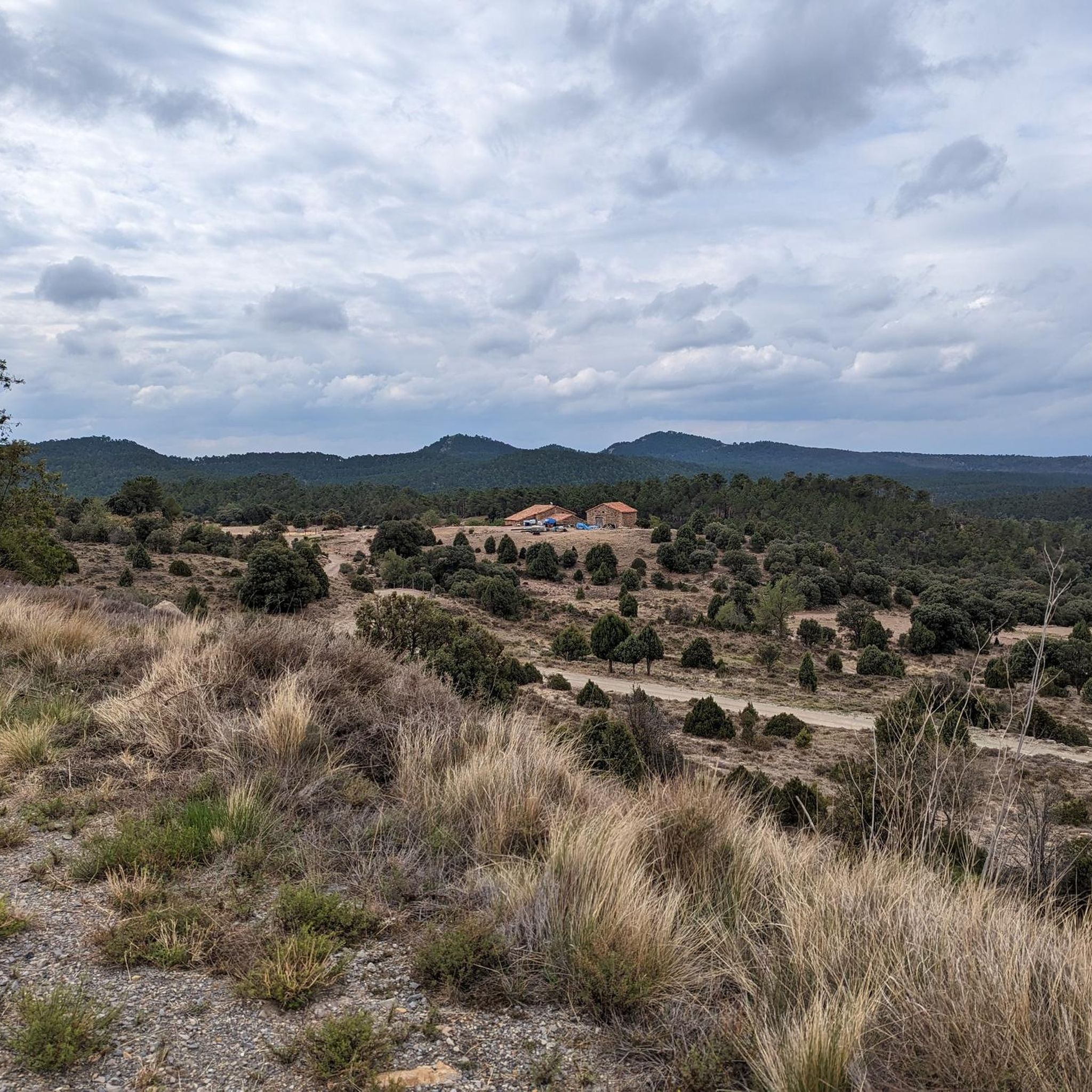
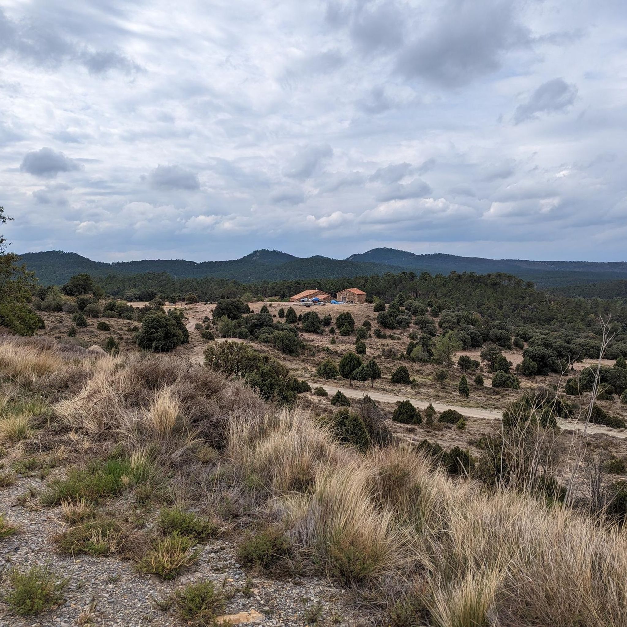
Jogging around Mora De Rubielos offers diverse terrain within the mountainous Iberian System, situated at the foot of the Sierra de Gúdar. The region features riverine paths along the Mora and Mijares Rivers, providing scenic routes through gorges and valleys. Runners can explore forested areas and ancient hills, with elevations reaching up to 1,035 meters in the town itself, offering a mid-mountain climate. This landscape provides a mix of gentle riverside trails and more challenging mountainous paths.
Best jogging routes…
Last updated: October 14, 2026
6
runners
6.05km
00:45
60m
60m
Moderate run. Good fitness required. Mostly paved surfaces. Suitable for all skill levels.
4
runners
Moderate run. Good fitness required. Mostly paved surfaces. Suitable for all skill levels.

7
runners
11.4km
01:19
90m
90m
Moderate run. Good fitness required. Mostly paved surfaces. Suitable for all skill levels.
6
runners
Hard run. Very good fitness required. Mostly paved surfaces. Suitable for all skill levels.
2
runners
8.55km
01:03
180m
180m
Moderate run. Good fitness required. Mostly paved surfaces. Suitable for all skill levels.
Get access to more routes and recommendations from other explorers.
Already have an account?
Our route recommendations are based on thousands of hikes, rides, and runs completed by other people on komoot.
Start today with a free account
Your next adventure awaits.
Popular around Mora De Rubielos



Tips from the Community

Alcalá de la Selva is a charming municipality in the province of Teruel, Aragon. Of Arab origin, it offers a stunning view of the town.
4
0

The fortress has surprisingly large dimensions, is very strategically located and has been the center of several wars for centuries. Visit: with admission, see schedules and guided tours or temporary exhibitions on the Mora de Rubielos Castle website.
0
0
Alcalá de la Selva is located at an altitude of 1,400 m in the Sierra de Gúdar mountain range. The Alcalá River flows at its feet, feeding an abundance of small vegetable gardens. Today, Alcalá de la Selva, with around 500 inhabitants, is the main winter resort in the province of Teruel.
1
0

Viewpoint at the geodetic point. Stone turret with iron ladder that allows you to climb over the tree line to enjoy the views.
0
0
The Mora de Rubielos castle or Fernández de Heredia castle is a fortification located on a hill in the Sierra de Gúdar, in the Aragonese town of Mora de Rubielos, 41 kilometers from Teruel, near the provincial border with Castellón. Currently, it is considered a BIC
0
0
The geodesic vertex called Peñarroya points 2028.228 m with respect to the base of the observation pillar, but it sits on two bodies of stone masonry. Altitude of the bodies of the order of 10 or 11 meters in total. LIDAR data confirm a ground level elevation of 2017 m. Peñarroya is a chromotoponym that refers to the color of the rocks that make up the mountain. The spelling in the Spanish language is Peñarroya and in the Aragonese language Penyarroya or Peñarroya depending on the spelling chosen for the palatal nasal. The origin of the toponym is quite clear. It combines the common noun peña, from the Latin PĭNNAM, 'battlement', with the adjective RŭBEŭS, -A, -UM 'blond'. The toponym reflects the reddish hue of the terrain. The spelling Penya (in addition to others such as Penna or Peña) is included in many medieval texts in Aragon. For example, in 1448 to designate the summit of the mountain range (of Peña) that rises above Sos del Rey Católico on the border, then, with the kingdom of Navarra.
1
0
Medieval castle from the 14th century in Mediterranean Gothic style. Linked to Juan Fernández de Heredia (1310-1396) who began a dynasty of Mora lords, which would last for four and a half centuries. A walk through several of its rooms, with good documentation and the addition of a good number of siege weapons and infantry from different periods.
1
0
The castle was built between the 12th and 13th centuries, along with the surrounding walls. It served as protection for the city after it was reconquered by Alfonso II of the Kingdom of Valencia. Originally of Muslim origin, he was associated with the Fernández de Heredia family, who began a dynasty of lords in Mora that lasted more than four and a half centuries. If you want to visit it, don't wait any longer! Walk through its rooms and immerse yourself in the history of this monumental town. 😊
9
0
Frequently Asked Questions
What kind of terrain can I expect on running routes around Mora de Rubielos?
The region offers a diverse mix of terrain. You'll find pleasant riverine paths along the Mora and Mijares Rivers, as well as more challenging mountainous trails in the Sierra de Gúdar. Many routes also wind through forests and valleys, providing varied surfaces for your run.
Are there easy running routes suitable for beginners in Mora de Rubielos?
Yes, there are routes suitable for beginners. While the area has many moderate and difficult trails, you can find easier options. For example, the Mora de Rubielos loop from Mora de Rubielos is a moderate 5.2 km route with relatively low elevation gain, making it a good choice for a less strenuous run.
What are the typical lengths of running routes in the Mora de Rubielos area?
Running routes in Mora de Rubielos vary in length. You can find shorter loops, such as the Running loop from Camping Los Álamos at 5.5 km, or longer trails like the popular Mora de Rubielos – Mora de Rubielos Castle loop from Mora de Rubielos, which is 10.8 km.
Are there many circular running routes available?
Yes, many of the running routes around Mora de Rubielos are circular, allowing you to start and finish at the same point. Examples include the Mora de Rubielos – Mora de Rubielos Castle loop and the Running loop from El Cerro.
Can I find family-friendly running trails near Mora de Rubielos?
While specific 'family-friendly' designations aren't always explicit, routes with lower elevation gain and shorter distances are generally suitable. The area's riverine paths and the circular path around the Embalse de las Tosquillas offer pleasant, easier options that families might enjoy. Always check the route details for distance and elevation before heading out.
Are the running routes around Mora de Rubielos suitable for running with dogs?
Many natural trails in the Mora de Rubielos area are generally suitable for dogs, especially the riverine paths and forest trails. However, it's always recommended to keep your dog on a leash, especially in areas with wildlife or near agricultural land, and to check local regulations regarding pets in specific natural parks or protected areas.
Is parking available at the trailheads for running routes?
Yes, for many routes, especially those starting from or near Mora de Rubielos or other towns, parking is generally available. For example, routes like the Running loop from Camping Los Álamos would likely have parking facilities nearby. When planning your run, it's advisable to check the specific route details on komoot for parking information.
What natural features or landmarks can I see while running in Mora de Rubielos?
The region is rich in natural beauty and historical landmarks. You can run past the impressive Mora de Rubielos Castle, explore river gorges like The Gorge, or discover natural springs such as Fuente de la Salud. The area also features forests, valleys, and even the Alcalá de la Selva Castle on some routes.
What is the best time of year for jogging in Mora de Rubielos?
Mora de Rubielos experiences a mid-mountain climate with dry, cold winters and mild summers. Spring and autumn are generally ideal for running, offering pleasant temperatures and vibrant scenery. Summers can be warm, so early morning or late evening runs are recommended. Winter running is possible, but be prepared for cold conditions, especially at higher altitudes.
Are there any scenic running routes with good viewpoints?
Absolutely. The mountainous terrain around Mora de Rubielos, particularly in the Sierra de Gúdar, offers routes with spectacular views. Peaks like Chaparroso (1,803 meters) provide panoramic vistas for those tackling more demanding ascents. Even moderate routes, such as the Mora de Rubielos – Mora de Rubielos Castle loop, offer scenic views of the historic town and surrounding landscape.
How many running routes are available in the Mora de Rubielos area?
There are over 29 running routes available around Mora de Rubielos, catering to various fitness levels. These include 2 easy routes, 15 moderate routes, and 12 difficult routes, ensuring options for every runner.
What do other runners enjoy the most about jogging in Mora de Rubielos?
Runners frequently praise the diverse terrain, from tranquil riverine paths to challenging mountain trails, and the blend of natural beauty with historical landmarks like the Mora de Rubielos Castle. The komoot community has explored these routes over 150 times, highlighting the varied and rewarding experience the region offers.
Most popular routes around Mora De Rubielos
Most popular attractions around Mora De Rubielos

Get inspired with the komoot mobile app


Explore more
Browse the best Running Trails & Routes in other regions.
