The best mountain hikes around Naturpark Diemtigtal
4.9
(51)
434
hikers
26
hikes
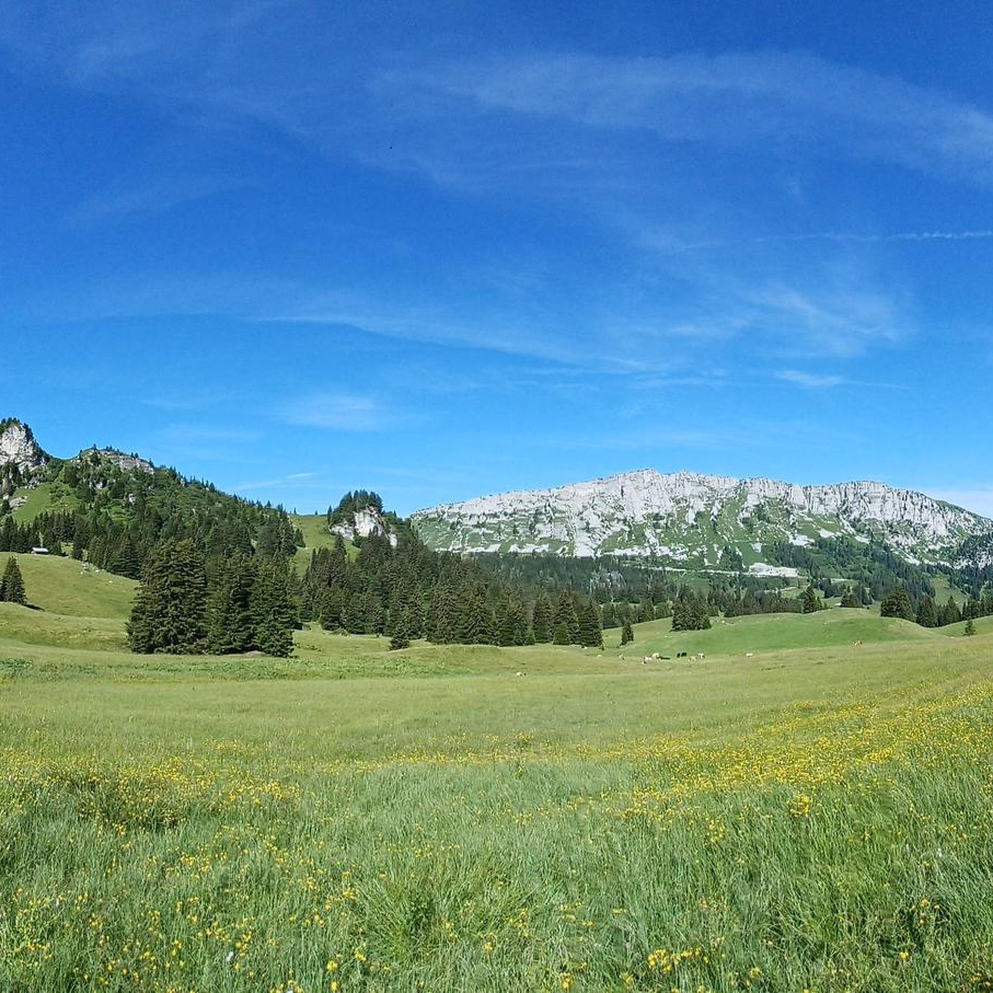
Mountaineering routes around Naturpark Diemtigtal traverse a diverse landscape of alpine meadows, dense forests, and rugged mountains. This 16-kilometer-long valley, shaped by the Chirel and Fildrich rivers, features peaks like Männliflue, which reaches 2,652 meters. The region offers challenging mountain experiences with significant elevation changes and panoramic views. Its pristine character and well-preserved natural features provide a compelling environment for experienced mountaineers.
Best mountaineering routes around Naturpark Diemtigtal
- The most popular mountaineering route is Wiriehorn – Gurbssattel loop from Nüegg…
Last updated: October 9, 2026
18
hikers
13.8km
05:40
970m
970m
Hard mountaineering route. Very good fitness required. Mostly accessible paths. Sure-footedness required.
5.0
(1)
7
hikers
6.83km
03:30
550m
550m
Hard mountaineering route. Good fitness required. Sure-footedness, sturdy shoes and alpine experience required.

5.0
(1)
11
hikers
17.7km
08:15
1,560m
1,560m
Hard mountaineering route. Very good fitness required. Sure-footedness, sturdy shoes and alpine experience required.
13
hikers
14.9km
06:57
1,320m
1,320m
Hard mountaineering route. Very good fitness required. Sure-footedness, sturdy shoes and alpine experience required.
5.0
(1)
8
hikers
7.11km
04:01
710m
710m
Hard mountaineering route. Good fitness required. Sure-footedness, sturdy shoes and alpine experience required.
Get access to more routes and recommendations from other explorers.
Already have an account?
Our route recommendations are based on thousands of hikes, rides, and runs completed by other people on komoot.
Start today with a free account
Your next adventure awaits.
Popular around Naturpark Diemtigtal

Hope 1000 – Bikepacking Switzerland in 11 stages
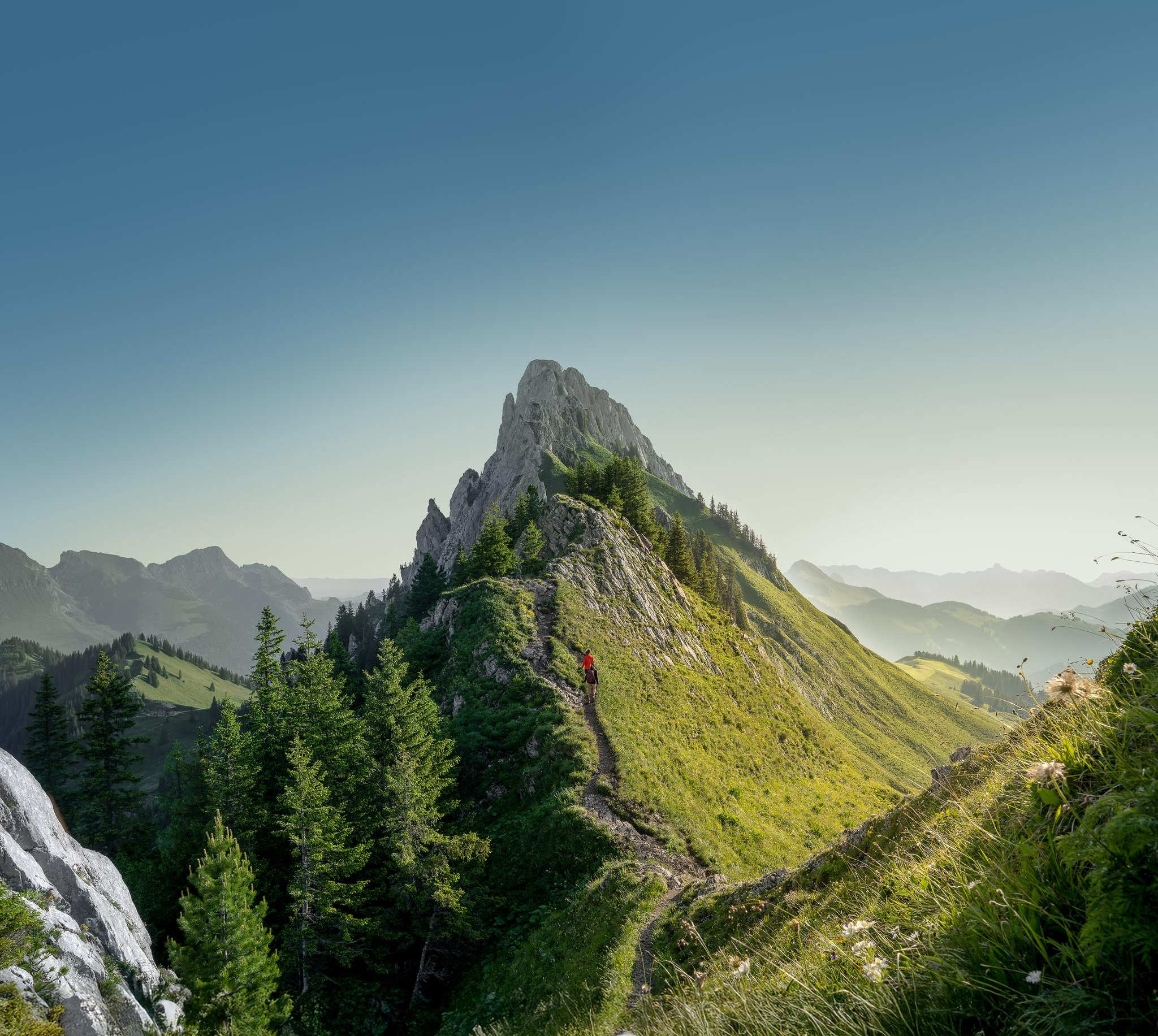
Zeit für mehr WANDERN – unsere 10 Highlights
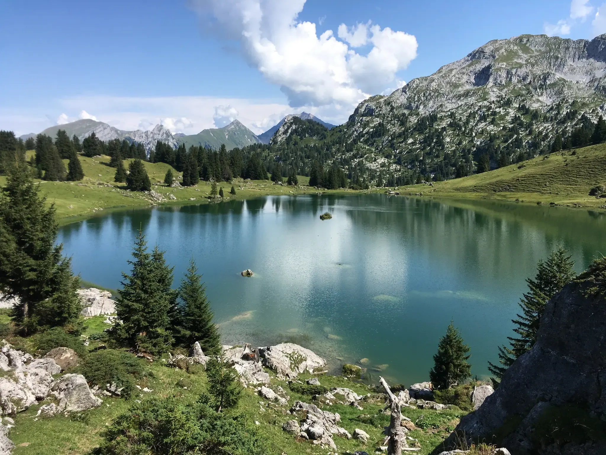
Mountain lakes, streams and castles – Berner Voralpenweg
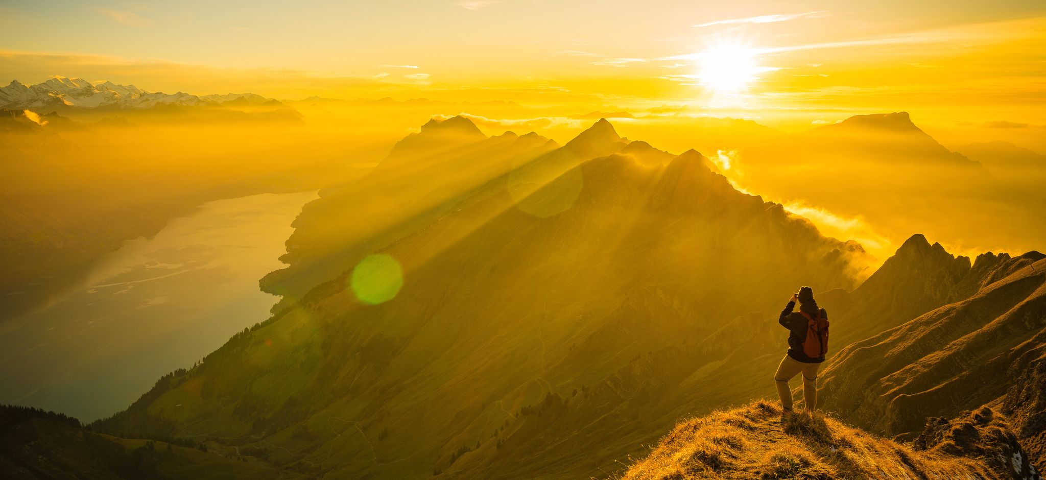
Mighty peaks and turquoise lakes – hiking in Interlaken in Switzerland
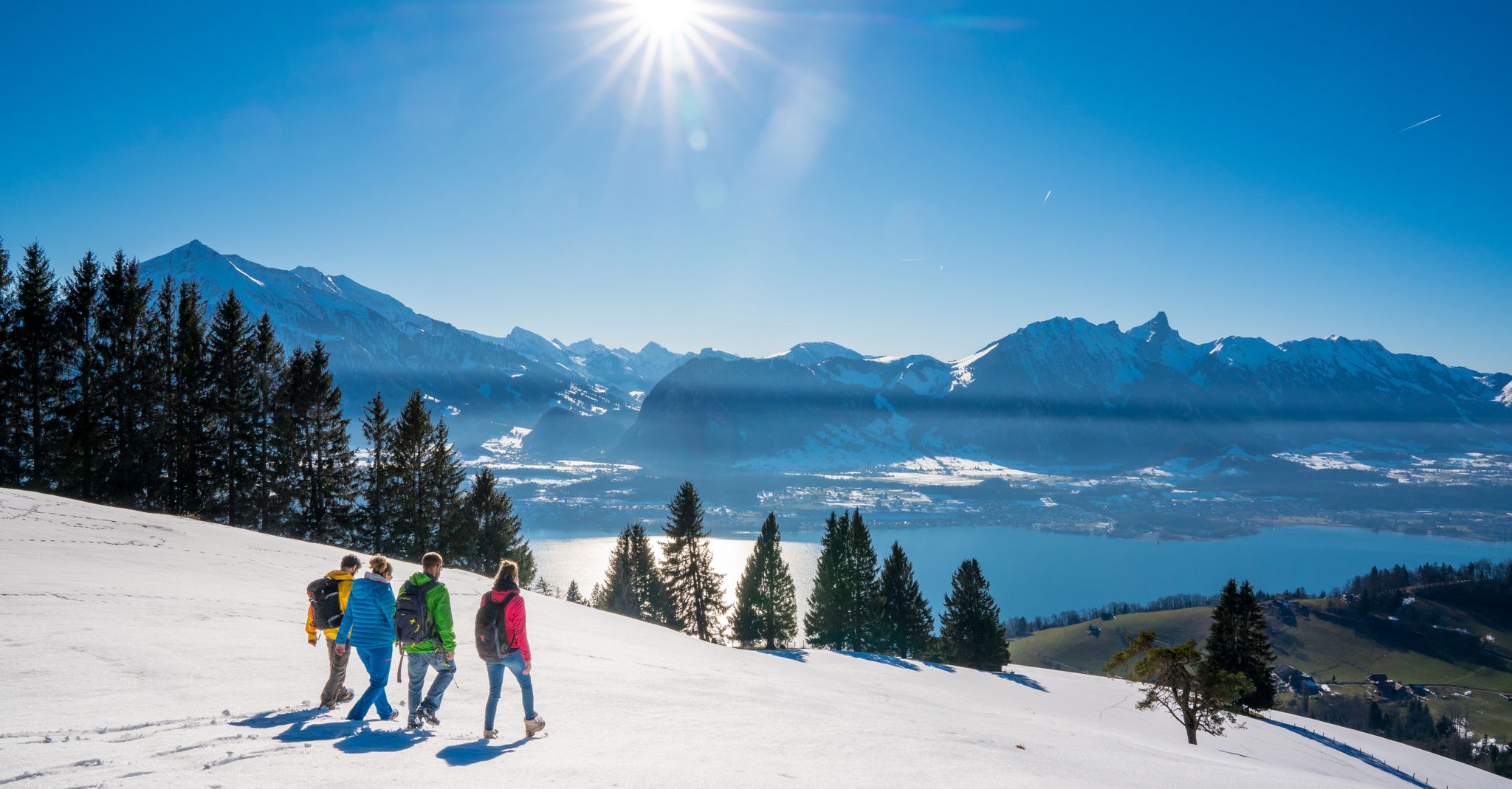
Let it snow! Winter hikes in the Bernese Oberland
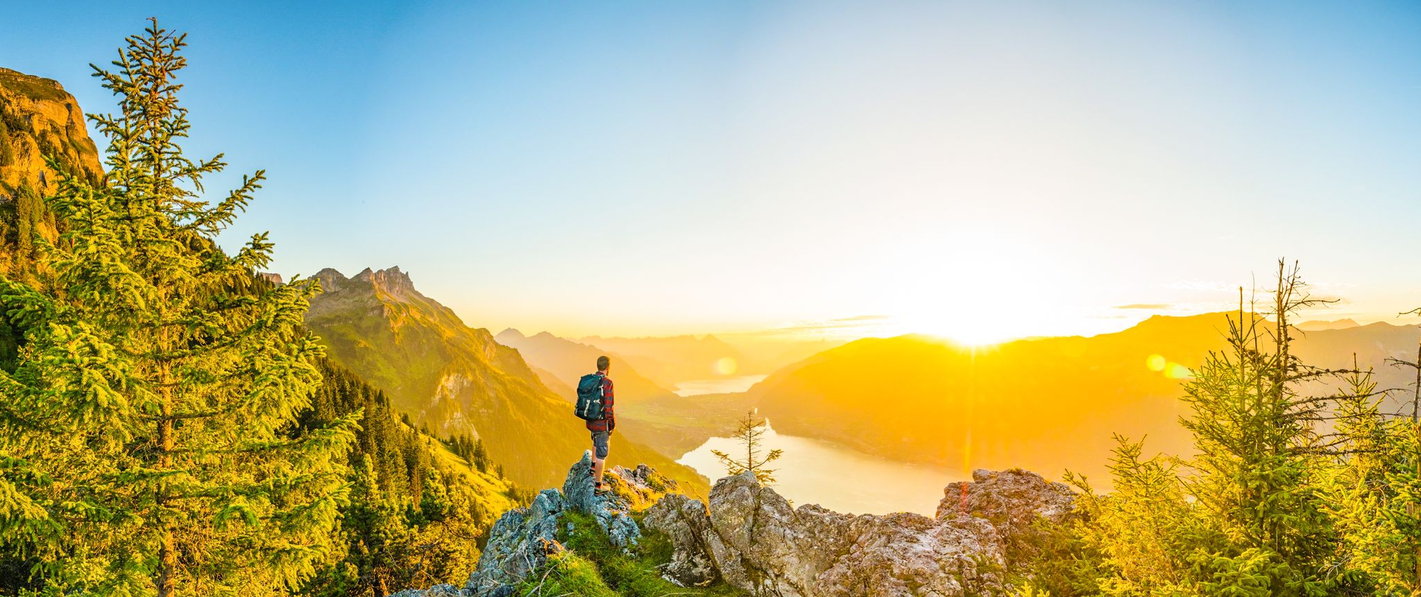
Magnificent Bernese Oberland – Hiking around Interlaken
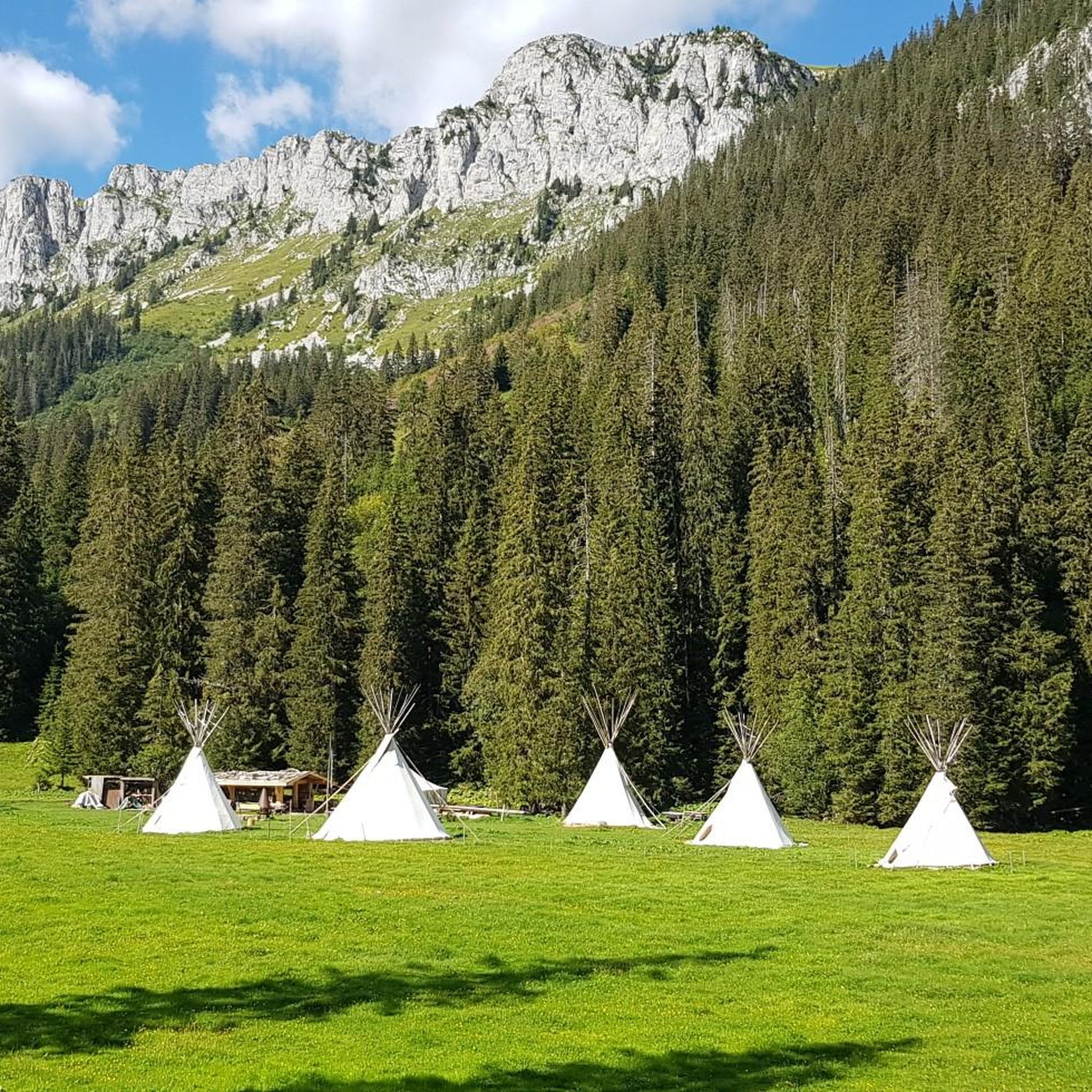
Hiking around Naturpark Diemtigtal
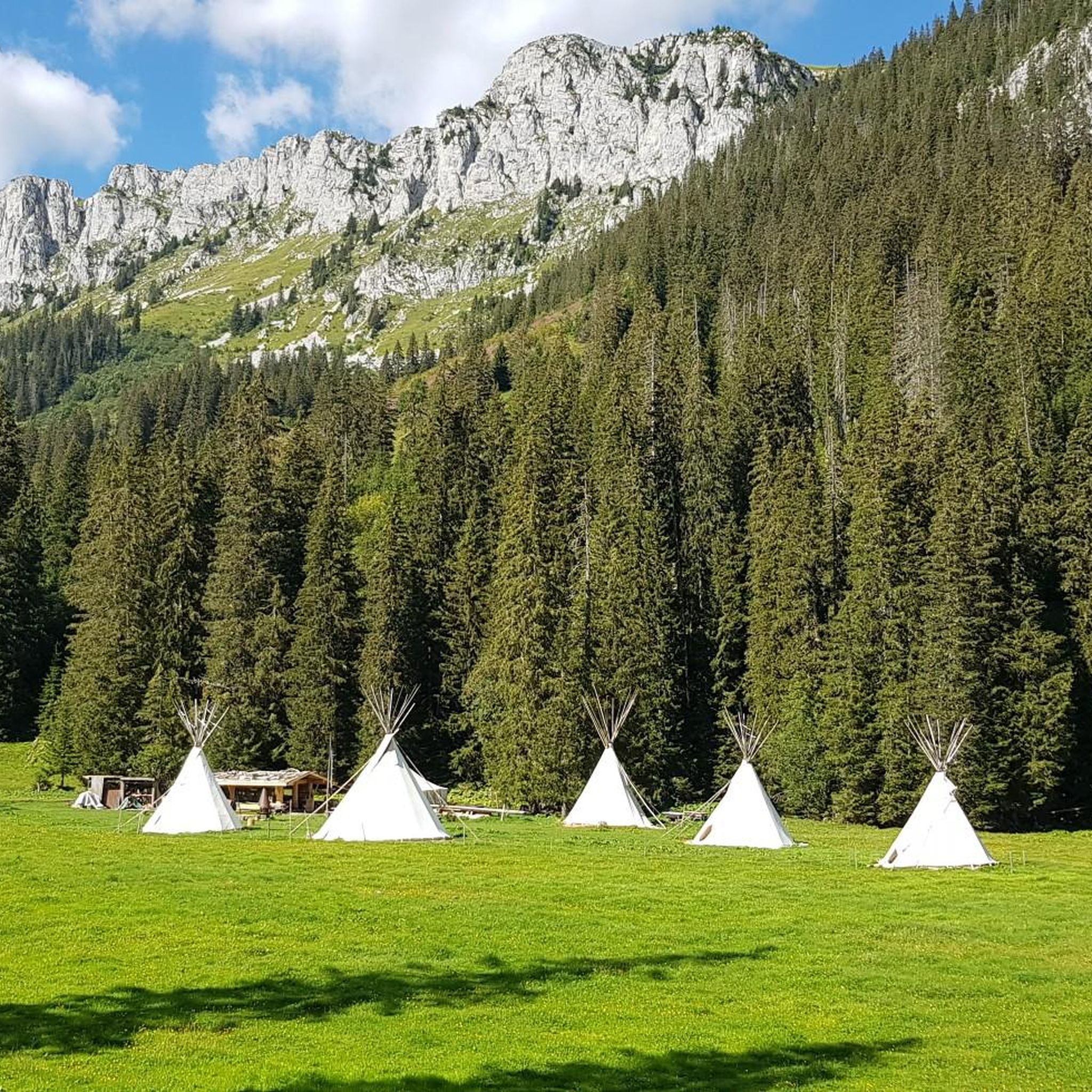
MTB Trails around Naturpark Diemtigtal
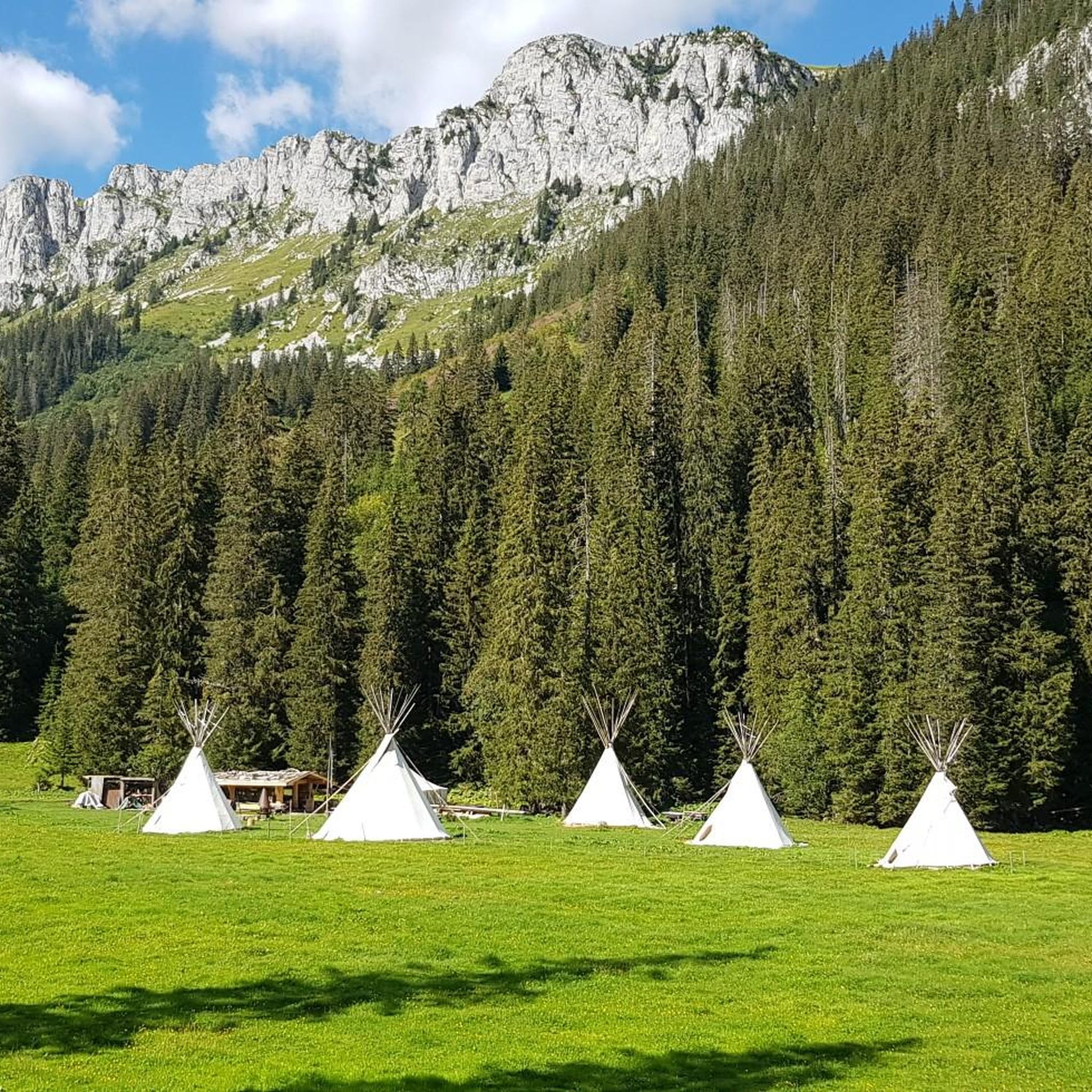
Cycling around Naturpark Diemtigtal
Road Cycling Routes around Naturpark Diemtigtal
Other adventures around Naturpark Diemtigtal


Tips from the Community

The water was not ice-cold as expected after the record summer. A few people were swimming. There are many small fish in the lake.
0
0

A beautiful panoramic summit at the end of the Niesen range. Can be climbed from two sides via alpine trails.
7
0

Trail running highlight. Challenging climb with technical challenges.
1
0

Somehow homey, honest, a bit more rustic than the other panoramic restaurants. I always enjoy coming here. If you're not sure what to order, you can never go wrong with the apricot cake.
0
0

Great climb and view. Saw 10 golden eagles at once.
2
0

Great ascent aid for snowshoe hikes🥰
1
0

🌊 Oberstockensee – A mountain lake straight out of a picture book 🏔️✨ Oberstockensee is idyllically situated at around 1,650 m altitude, nestled in the impressive mountain world of the Stockhorn. It is a true natural jewel and perfect for a relaxing break in the Alps. 🥾 Accessibility: Start from the Chrindi middle station 🚡 🌟 Highlights: Crystal-clear water – ideal for cooling off on hot days ❄️ Reflecting mountain scenery – perfect for photos 📸 Fishing allowed – a paradise for anglers 🎣
1
0
Karst rock is formed by the weathering and dissolution of limestone, dolomite or gypsum. Over thousands of years, water has formed impressive landscapes with spectacular rock formations. 🌊 Formation: Rainwater, which is slightly acidic, slowly erodes limestone and forms caves, sinkholes, gorges and bizarre rock formations. 📍 Well-known karst areas: Schrattenfluh (CH), Dolomites (IT), Karst region of Slovenia
0
0
Frequently Asked Questions
How many mountaineering routes are available in Naturpark Diemtigtal?
Naturpark Diemtigtal offers a substantial network of mountaineering routes, with over 30 distinct tours available. These routes cater primarily to experienced mountaineers, with 23 classified as difficult and 6 as moderate, ensuring a challenging and rewarding experience.
Are there any easier mountaineering routes for beginners in Naturpark Diemtigtal?
While most mountaineering routes in Naturpark Diemtigtal are challenging, there is at least one route classified as easy. For those new to mountaineering, it's advisable to start with this easier option or consider some of the moderate trails to build experience before tackling the more demanding ascents.
What are some of the most challenging mountaineering routes in the region?
For experienced mountaineers seeking a significant challenge, the Stockhorn Viewing Platform loop from Erlenbach stands out. This difficult route covers nearly 17 km with over 1,500 meters of elevation gain, typically taking almost 8 hours to complete. Another demanding option is the Albristhorn Summit loop from Gruebe, which features over 1,300 meters of ascent over 14.6 km.
What kind of landscapes can I expect on mountaineering routes in Naturpark Diemtigtal?
Mountaineering routes in Naturpark Diemtigtal traverse a diverse and rugged landscape. You'll encounter vast alpine meadows, dense forests, and challenging mountain terrain, with peaks like Männliflue reaching 2,652 meters. The valley's pristine character and well-preserved natural features, shaped by the Chirel and Fildrich rivers, offer a unique blend of wild beauty and traditional Alpine culture.
Are there any circular mountaineering routes in Naturpark Diemtigtal?
Yes, many of the mountaineering routes in Naturpark Diemtigtal are designed as circular tours, allowing you to start and end at the same point. Examples include the Wiriehorn – Gurbssattel loop from Nüegg, which offers expansive alpine views, and the Mäggiserehore loop from Amtsbezirk Niedersimmental, known for its varied terrain through rugged mountains and forests.
What natural attractions or landmarks can I see along the mountaineering routes?
Naturpark Diemtigtal is rich in natural beauty. You might encounter the tranquil Seebergsee, an alpine lake nestled at 1,831 meters, or the unique Alp Uelis Grimmi – Moorland and Iron-Rich Springs, a natural monument known for its alpine flora and healing springs. The region also features other picturesque lakes like Blauseeli and Meienfallseeli.
What do other mountaineers say about the routes in Naturpark Diemtigtal?
The mountaineering routes in Naturpark Diemtigtal are highly regarded by the komoot community, boasting an average rating of 4.9 stars from over 50 reviews. Mountaineers frequently praise the region's pristine character, the challenging nature of the ascents, and the rewarding panoramic views from the peaks.
Are there any huts or mountain restaurants along the mountaineering trails?
Yes, you'll find several huts and mountain restaurants that can serve as resting points or offer refreshments during your mountaineering adventures. Notable options include the Stierenberghütte, Schwarzenberg Mountain Restaurant, and Bergwirtschaft Stierenberg. These spots often provide stunning views and a taste of local alpine hospitality.
What is the best time of year for mountaineering in Naturpark Diemtigtal?
The best time for mountaineering in Naturpark Diemtigtal is typically during the warmer months, from late spring to early autumn, when trails are clear of snow and weather conditions are more stable. However, always check local weather forecasts and trail conditions before heading out, as alpine weather can change rapidly.
Are there any specific geological features to look out for on the trails?
Yes, the region is known for its geological diversity. The Wiriehorn area, for instance, features a geological theme trail that highlights the unique rock formations and geological history of the Swiss Alps. The rugged mountains themselves are a testament to the powerful geological forces that shaped this impressive landscape.
Can I find routes that offer extensive views in Naturpark Diemtigtal?
Absolutely. Many mountaineering routes in Naturpark Diemtigtal are renowned for their expansive views. The Gestelen Pass, for example, provides extensive panoramas. Routes like the Seehore loop from Geissfluh also offer challenging mountain terrain with rewarding vistas.
Most popular routes around Naturpark Diemtigtal
Most popular attractions around Naturpark Diemtigtal

Get inspired with the komoot mobile app


Explore more
Browse the best Mountain Hikes & Routes in other regions.
