The best road cycling routes around Monroyo
5.0
(7)
245
riders
21
rides
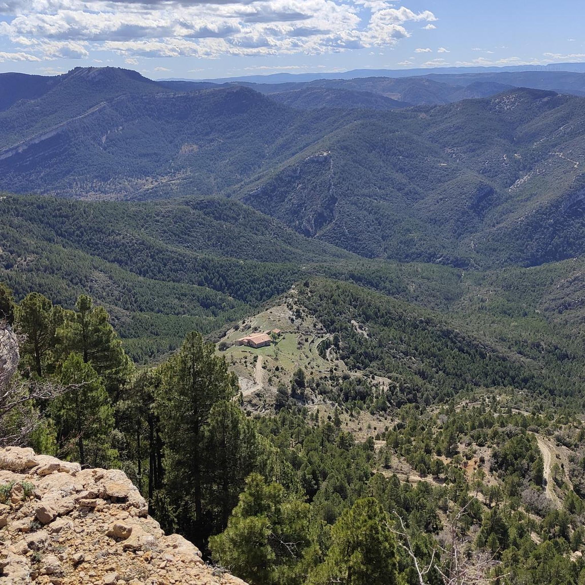
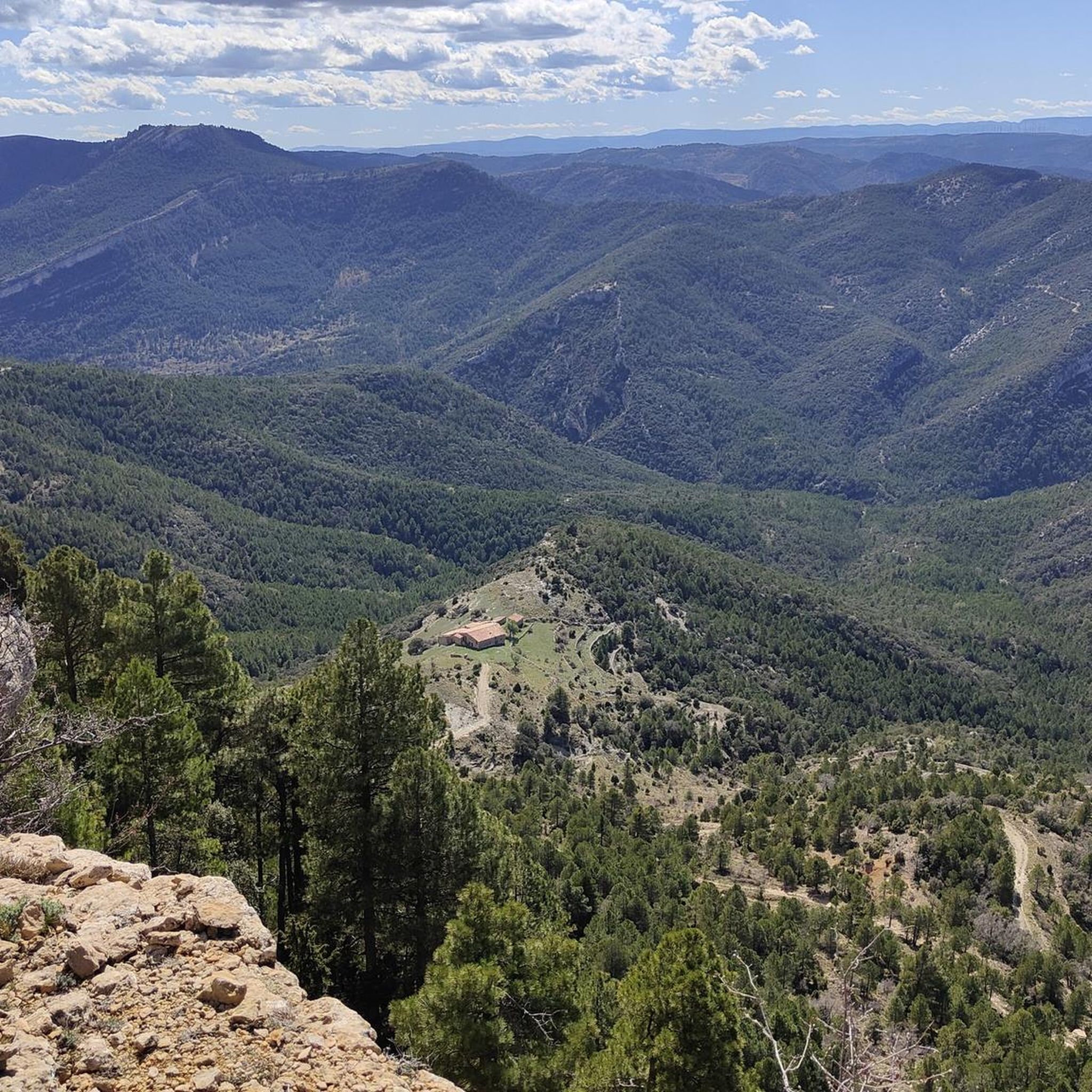
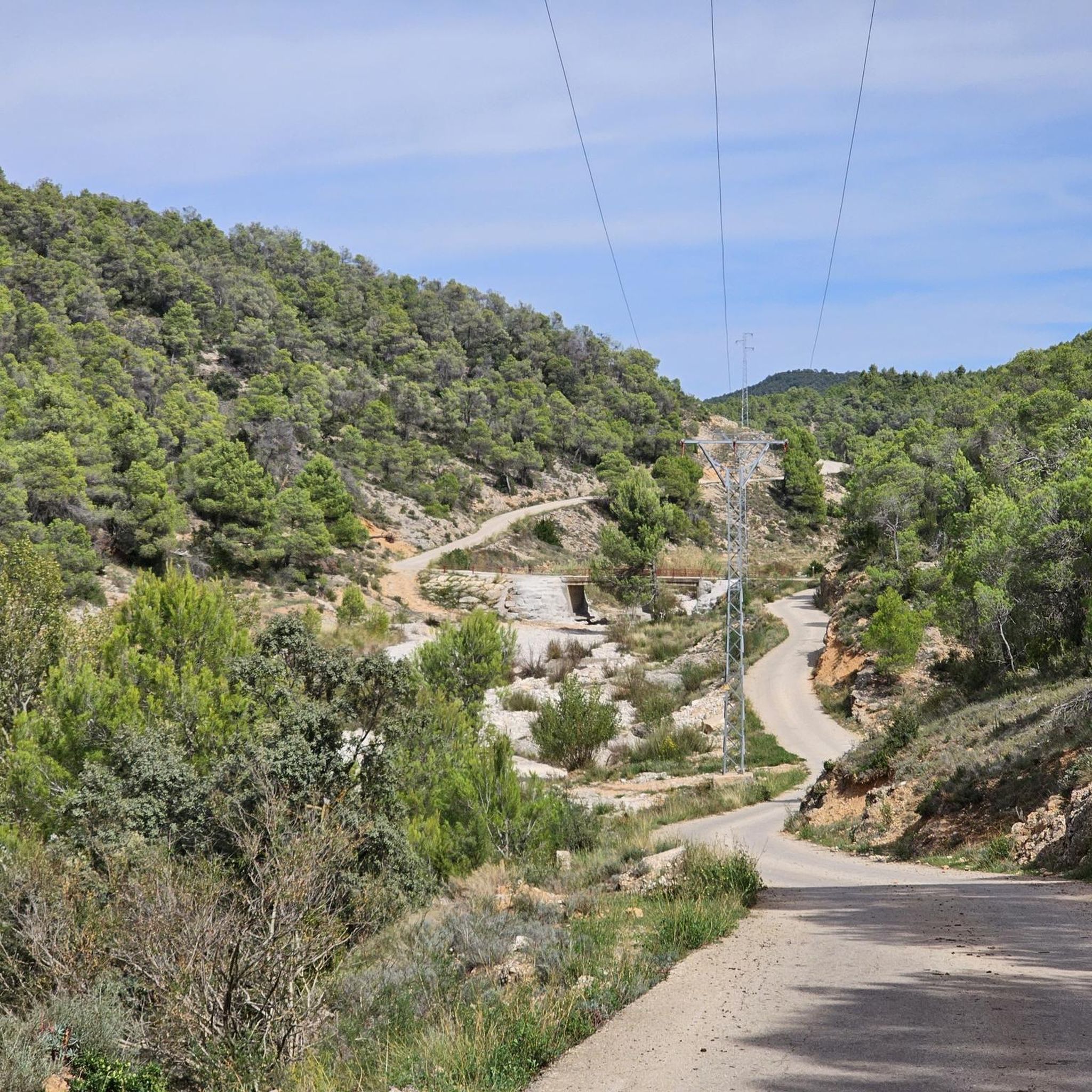
Road cycling routes around Monroyo are found in the Matarraña region of Teruel, Spain, characterized by its mountainous terrain and an altitude of 857 meters. The area features ranges such as Molinera and Sabinosos, interspersed with deep ravines and dense forests of pines and holm oaks. This landscape provides a tranquil environment with minimal traffic, offering varied terrain for road cyclists. Routes often include significant ascents and can lead to summits exceeding 1,000 meters in elevation.
Best road cycling routes…
Last updated: October 10, 2026
16
riders
46.7km
02:30
870m
870m
Cycle the moderate Torre Miró Loop from Monroyo, a 29.0-mile route with 2860 feet of elevation gain through scenic Matarraña.
4
riders
84.6km
04:25
1,380m
1,380m
Hard road ride. Very good fitness required. Mostly well-paved surfaces and easy to ride.

26
riders
58.7km
03:02
1,040m
1,050m
Hard road ride. Very good fitness required. Mostly well-paved surfaces and easy to ride.
5.0
(4)
33
riders
47.6km
02:26
700m
700m
Moderate road ride. Good fitness required. Some segments of this route may be unpaved and difficult to ride.
5.0
(1)
18
riders
63.8km
03:21
940m
940m
Hard road ride. Very good fitness required. Mostly well-paved surfaces and easy to ride.
Get access to more routes and recommendations from other explorers.
Already have an account?
Our route recommendations are based on thousands of hikes, rides, and runs completed by other people on komoot.
Start today with a free account
Your next adventure awaits.
Tips from the Community

Beautiful climb, quiet and with many views
0
0

Beautiful town with good trails in the area, controlled traffic and parking for non-residents
1
0


The town consists of a relatively new section south of the Matarrana River and the original historic town on the other bank. The old city is built on a relatively steep hill. At the top is the beautiful Castillo (castle) de Valderrobres.
0
0
Historical and small place with an area of 97 km². Beceite has only 561 inhabitants.
1
0


Very refreshing place with loud dance music coming from the chiringuito. Not for me.
1
0

Frequently Asked Questions
How many road cycling routes are available around Monroyo?
There are over 15 road cycling routes around Monroyo, offering a diverse range of experiences. These routes are split evenly between moderate and difficult, ensuring options for various fitness levels.
What kind of terrain can I expect on road cycling routes in Monroyo?
Road cycling in Monroyo features a varied and often challenging terrain. You'll encounter mountainous landscapes with significant ascents, deep ravines, and dense forests of pines and holm oaks. The region is known for its quiet roads and minimal traffic, making it a tranquil environment for cycling.
Are there any challenging road cycling routes with significant elevation gain?
Yes, Monroyo is ideal for cyclists seeking a challenge. Many routes include substantial elevation gain, with some leading to summits exceeding 1,000 meters. For example, the The villages of Lower Aragon - circular from Monroyo route covers 84.6 km with over 1,370 meters of ascent, while the Fuentespalda – Valderrobres Stone Bridge loop from Monroyo / Montroig offers over 1,050 meters of climbing.
Are there any circular road cycling routes around Monroyo?
Yes, many of the road cycling routes around Monroyo are circular, allowing you to start and end in the same location. A popular option is the Torre Miró Loop from Monroyo, a moderate 46.7 km route with over 870 meters of elevation gain.
What natural attractions can I see along the road cycling routes in Monroyo?
The region boasts several natural attractions. You can cycle past the beautiful Pantano de Pena reservoir, or explore areas near the Portellada Waterfall, known for its eroded rock formations. The Peñas del Masmut Trail also offers breathtaking geological views, though some sections may be challenging for cycling.
Are there any historical or cultural landmarks to explore near the cycling routes?
Yes, beyond the natural beauty, you can discover historical sites. The village of Monroyo itself has medieval heritage, including the 13th to 15th-century Church of Nuestra Señora de la Asunción and remnants of its historic castle. You might also pass through the Old Town of Ráfales on some routes, or see the Sanctuary of the Virgin of la Balma.
What is the best season for road cycling in Monroyo?
The region's mountainous climate makes spring and autumn ideal for road cycling, offering pleasant temperatures and vibrant landscapes. While summer can be warm, the higher altitude of Monroyo (857 meters) can provide some relief compared to lower areas. Winter cycling is possible but may require more preparation due to cooler temperatures.
What do other road cyclists enjoy most about cycling in Monroyo?
The area is highly rated by the komoot community, with an average score of 5.0 stars. Cyclists often praise the tranquil environment, minimal traffic, and the stunning natural scenery of deep ravines and dense forests. The varied terrain, from moderate to challenging ascents, is also a significant draw.
Are there services for cyclists in Monroyo?
Yes, accommodations in the Monroyo area often cater specifically to cyclists. You can find services such as bicycle transport, luggage transfer for stage routes, professional repair services, bike rentals, and facilities for washing and storing bikes, making it a very cyclist-friendly destination.
Can I find moderate road cycling routes suitable for good fitness levels?
Absolutely. While there are many challenging routes, Monroyo also offers several moderate options. For instance, the Castle of the Calatravos – Castelserás loop from Belmonte de San José / Bellmunt de Mesquí is a moderate 58.9 km route with around 690 meters of elevation gain, providing a rewarding ride without extreme difficulty.
Are there any routes that pass by rivers or water features?
Yes, the region is traversed by watercourses such as the Tastavins and Monroyo rivers. You might encounter the Bridge Over the Tastavins River on some routes, adding to the picturesque scenery and offering pleasant views during your ride.
Most popular routes around Monroyo
Most popular attractions around Monroyo

Get inspired with the komoot mobile app


Explore more
Browse the best Road cycling routes in other regions.
