The best walks and hikes around Redueña
4.7
(414)
2,701
hikers
131
hikes
Hiking trails around Redueña offer diverse landscapes, from reservoir-side paths to challenging hill ascents. The region is characterized by its rolling hills, rocky outcrops, and areas of Mediterranean scrubland and pine forests. Hikers can explore routes that traverse open countryside, providing expansive views, or follow trails through more sheltered, wooded sections. The varied terrain ensures options for different fitness levels and preferences.
Best hiking trails around Redueña
- The most popular hiking route is Embalse Pedrezuela o del Vellón – circular…
Last updated: July 1, 2026
4.5
(17)
75
hikers
10.7km
02:55
150m
150m
Moderate hike. Good fitness required. Easily-accessible paths. Suitable for all skill levels.
4.5
(8)
51
hikers
11.6km
04:25
510m
510m
Hard hike. Good fitness required. Sure-footedness, sturdy shoes and alpine experience required.

Sign up for free
1
hikers
14.9km
04:05
240m
240m
Explore the moderate 9.3-mile La Atalaya y Los Quebraones circular hike from El Vellón, featuring historical watchtowers and panoramic views
4.6
(9)
58
hikers
10.1km
03:50
430m
430m
Moderate hike. Good fitness required. Mostly accessible paths. Sure-footedness required.
4.0
(2)
17
hikers
5.00km
01:39
150m
150m
Moderate hike. Great for any fitness level. Mostly accessible paths. Sure-footedness required.
Get access to more routes and recommendations from other explorers.
Sign up for free
Already have an account?
Our route recommendations are based on thousands of hikes, rides, and runs completed by other people on komoot.
Start today with a free account
Your next adventure awaits.
Login or Signup
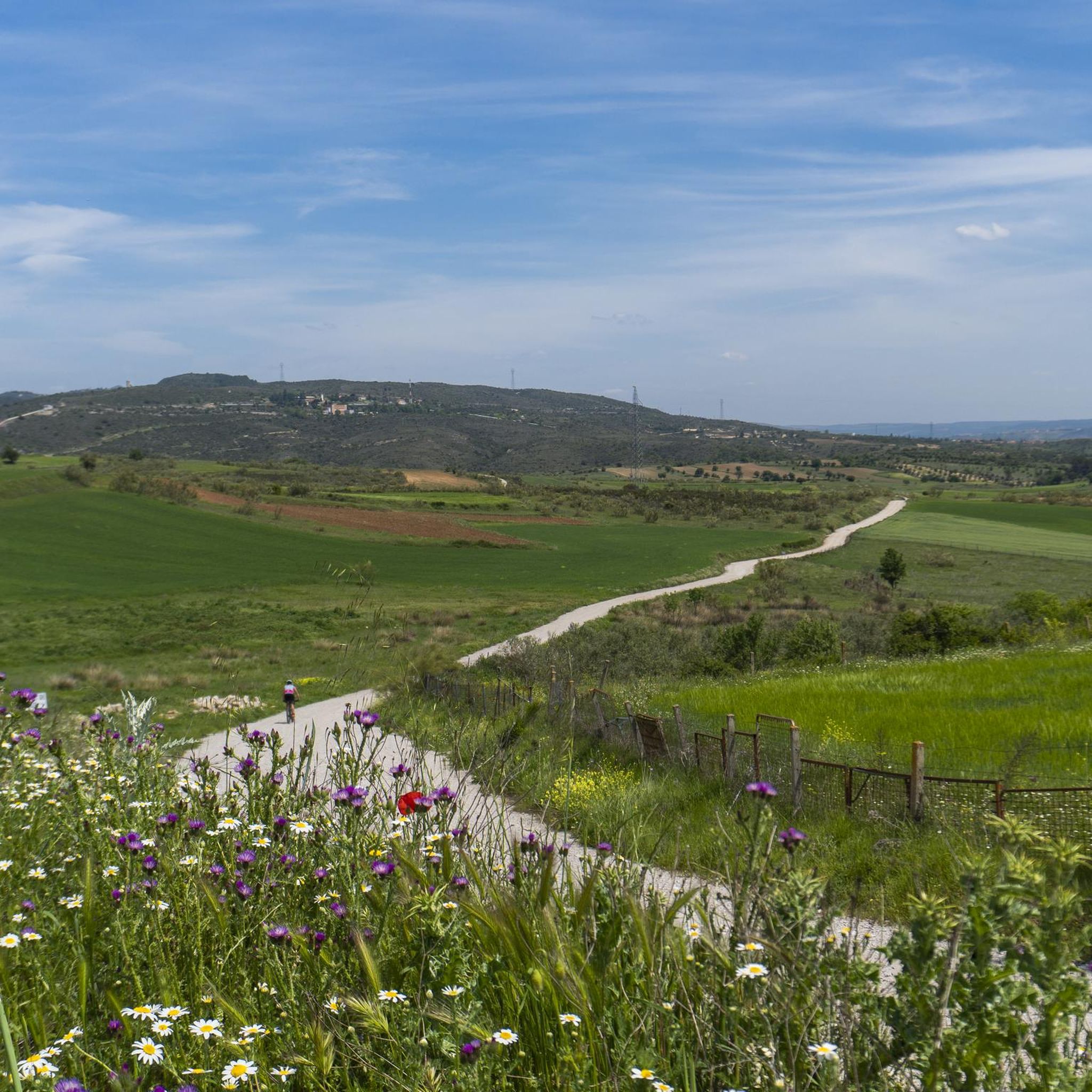
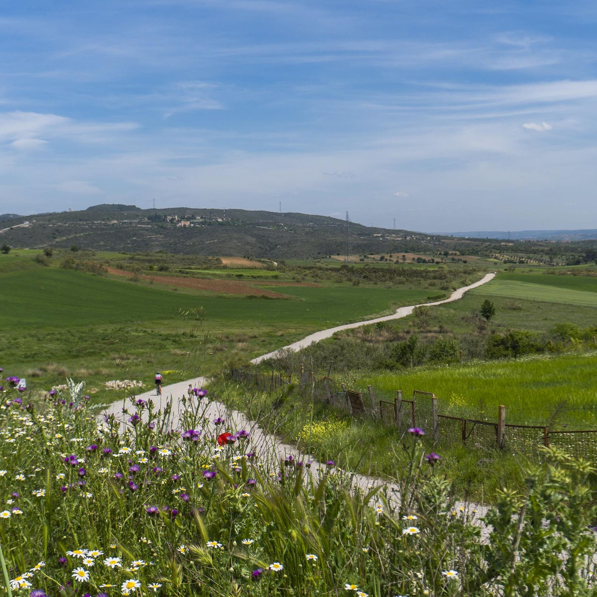
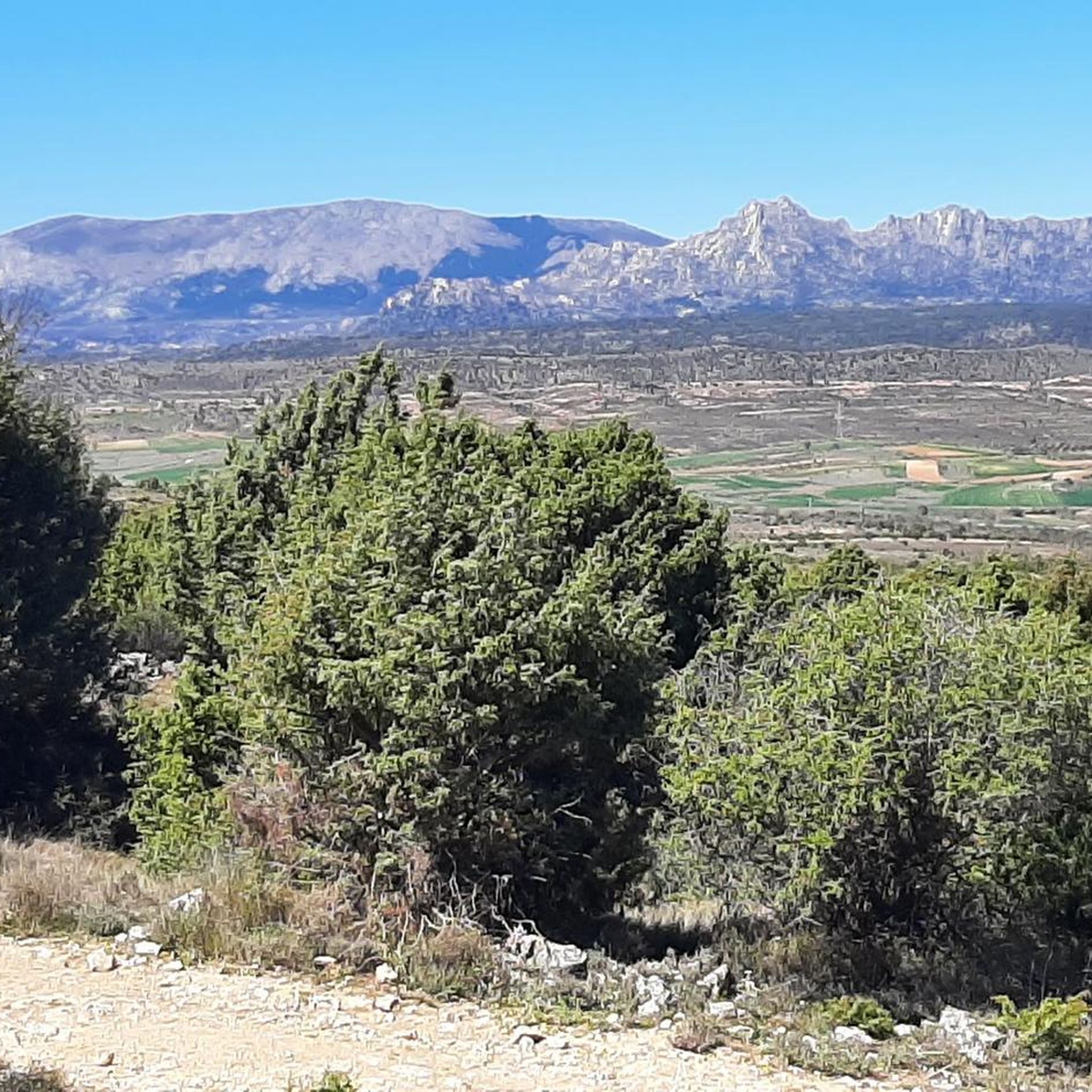
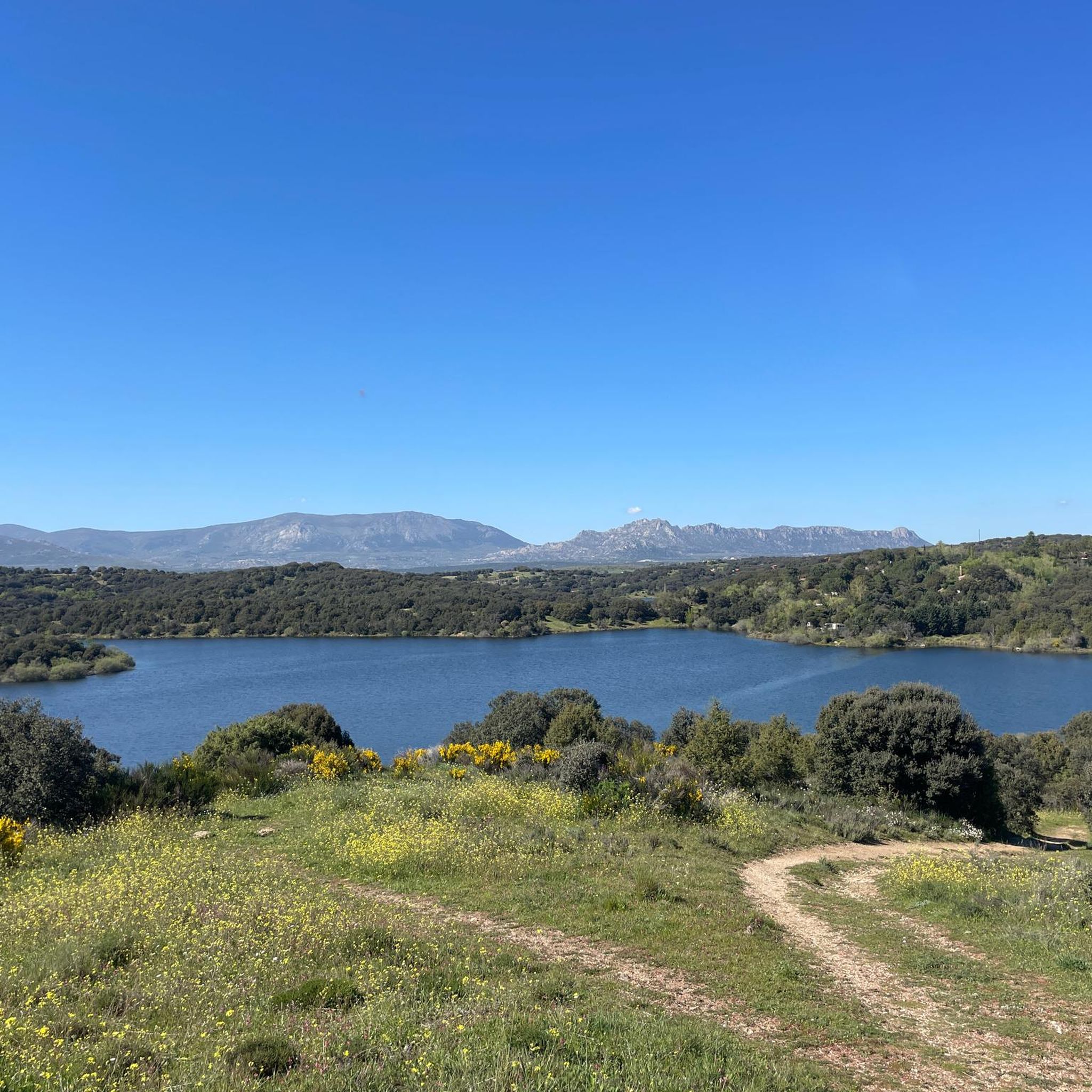

Tips from the Community

A place of spectacular landscapes.
0
0

This was a very steep route with many vertical sections. My two little doggies looked at me like I was crazy.
0
0

A **giant kettle** is an erosional cavity, roughly cylindrical or pit-shaped, found in the beds of some rivers, especially in areas of hard rock such as granite. **How does it form?** 1. **Irregularities:** The process begins with small irregularities or hollows in the rock surface of the riverbed. 2. **Abrasion:** The water current traps pebbles, sand, and other hard sediments. The swirling motion of the current causes these materials to act as drilling tools, eroding and deepening the initial hollow through abrasion. 3. **Deepening:** Over time, the cavity grows larger and deeper, acquiring its characteristic "kettle" or "pot" shape. The fragments broken off from the parent rock contribute to this erosive process. **Characteristics:** * They are typically found in the upper reaches of rivers, where the current has greater velocity and energy. * The rock in which they form is usually hard and durable, such as granite or sandstone. * Their size can vary from a few centimeters to several meters in diameter and depth. * They often form in groups along the riverbed. * When the river slows or dries up, the potholes are exposed, revealing their smooth, rounded walls.
0
0
This small cross takes you to the convent, and then to the big climb of Cancho Gordo. How cool is that climb?
0
0
I never tire of going up to see the views
0
0
Breathing from the technical and vertical descent. How fun it is to go down here. But a photo, you have to take it.
0
0
If you follow it you will reach the convent
0
0
Frequently Asked Questions
How many hiking trails are there in Redueña?
Redueña offers a wide variety of hiking options, with over 130 trails available. These range from easy strolls to challenging ascents, ensuring there's something for every hiker.
Are there easy hiking trails suitable for beginners in Redueña?
Yes, Redueña has approximately 37 easy hiking routes perfect for beginners or those looking for a relaxed walk. These trails often feature gentler terrain and shorter distances, such as paths along the reservoirs.
Are there any circular hiking routes in Redueña?
Many trails in Redueña are designed as circular routes, allowing you to start and end at the same point. An example is the Embalse Pedrezuela o del Vellón – circular by the Sierra Lagos, which offers consistent water views.
What kind of views can I expect on hikes around Redueña?
Hiking in Redueña provides diverse views, from expansive vistas over rolling hills and rocky outcrops to serene scenes along reservoir edges. Trails like Pico de la Miel y Cancho Gordo – circular desde La Cabrera offer panoramic views from prominent local peaks.
Are there any waterfalls or significant water features to see on the trails?
Yes, the region features several water attractions. You can find the beautiful Hervidero Waterfall, and explore the shores of the Pedrezuela Reservoir or the larger El Atazar Reservoir.
What historical landmarks or points of interest can I explore while hiking?
Redueña's trails offer glimpses into the area's history. You can visit the Town Gate of Talamanca de Jarama or the El Mesto Weir. The Los Quebraones and El Vellón Watchtower Trail specifically leads through varied terrain including historical points.
Is Redueña a good destination for family-friendly hikes?
Redueña offers several family-friendly options, particularly among its 37 easy routes. These trails are generally shorter and less strenuous, making them suitable for children and those seeking a leisurely outdoor experience.
What is the best time of year to go hiking in Redueña?
The diverse landscapes of Redueña can be enjoyed throughout the year. Spring and autumn offer pleasant temperatures and vibrant scenery, while cooler days in winter can be ideal for exploring the trails, especially those through sheltered wooded sections. Summer mornings or late afternoons are best to avoid the midday heat.
Are there any less crowded hiking options in Redueña?
While some popular routes can see more visitors, Redueña has over 130 trails, providing ample opportunity to find quieter paths. Exploring some of the lesser-known moderate or difficult routes, such as the Pico de la Miel – La Buitrera loop from La Cabrera, can offer a more secluded experience.
What do other hikers say about the trails in Redueña?
The hiking trails in Redueña are highly regarded by the komoot community, with an average rating of 4.7 stars from over 300 reviews. Hikers frequently praise the varied terrain, from reservoir paths to challenging hill climbs, and the expansive views offered throughout the region.
Are there options for public transport to access hiking trails in Redueña?
Redueña is primarily accessed by road, and while some bus services connect to nearby towns, direct public transport access to specific trailheads can be limited. It's advisable to check local bus schedules for connections to Redueña or nearby villages like La Cabrera, which serve as starting points for routes such as the Cairn and Trail Marker – Pico de la Miel loop from La Cabrera.
Is there parking available near the hiking trailheads in Redueña?
Parking is generally available in Redueña and the surrounding villages that serve as common starting points for hikes. Specific parking availability can vary by trailhead, so it's recommended to check the route details on komoot for information on designated parking areas.
Most popular attractions around Redueña

Get inspired with the komoot mobile app


Explore more
Browse the best Hikes in other regions.
