The best running trails around Paracuellos
12
runners
7
runs
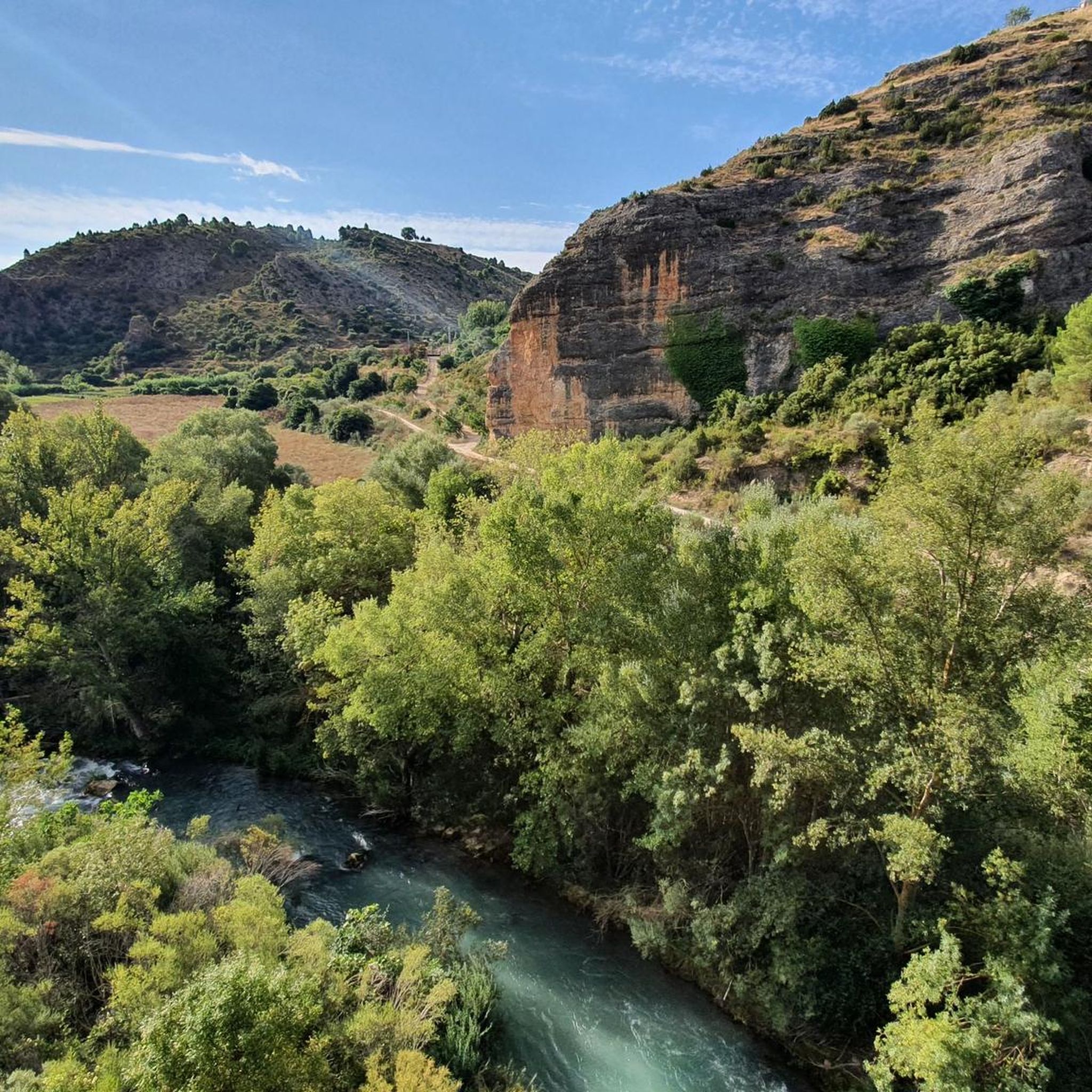
Jogging routes around Paracuellos de Jarama offer a variety of terrains, from serene riverside paths along the Jarama River to elevated routes providing panoramic views. The region, located in the east of the Community of Madrid, features a network of trails that traverse agricultural fields and areas with scattered trees. These paths are suitable for various fitness levels, providing opportunities to explore the natural landscapes of the area.
Best jogging routes around Paracuellos
- The most popular jogging route is Sendero…
Last updated: June 28, 2026
11.3km
01:35
230m
230m
Hard run. Good fitness required. Sure-footedness, sturdy shoes and alpine experience required.
6.97km
00:52
140m
140m
Hard run. Good fitness required. Sure-footedness, sturdy shoes and alpine experience required.

Sign up for free
2
runners
6.68km
00:45
130m
130m
Hard run. Good fitness required. Sure-footedness, sturdy shoes and alpine experience required.
2
runners
5.60km
00:38
120m
120m
Hard run. Good fitness required. Sure-footedness, sturdy shoes and alpine experience required.
2
runners
5.12km
00:34
80m
80m
Moderate run. Good fitness required. Mostly paved surfaces. Suitable for all skill levels.
Get access to more routes and recommendations from other explorers.
Sign up for free
Already have an account?
Our route recommendations are based on thousands of hikes, rides, and runs completed by other people on komoot.
Start today with a free account
Your next adventure awaits.
Login or Signup
Other adventures around Paracuellos

Tips from the Community

Walking along paths and roads. The land is also cool!
0
1

Great site! To see without hesitation if you are in the region and even make a detour because the site is exceptional. It is possible to leave your car quite close to the site and take good shoes!
0
1

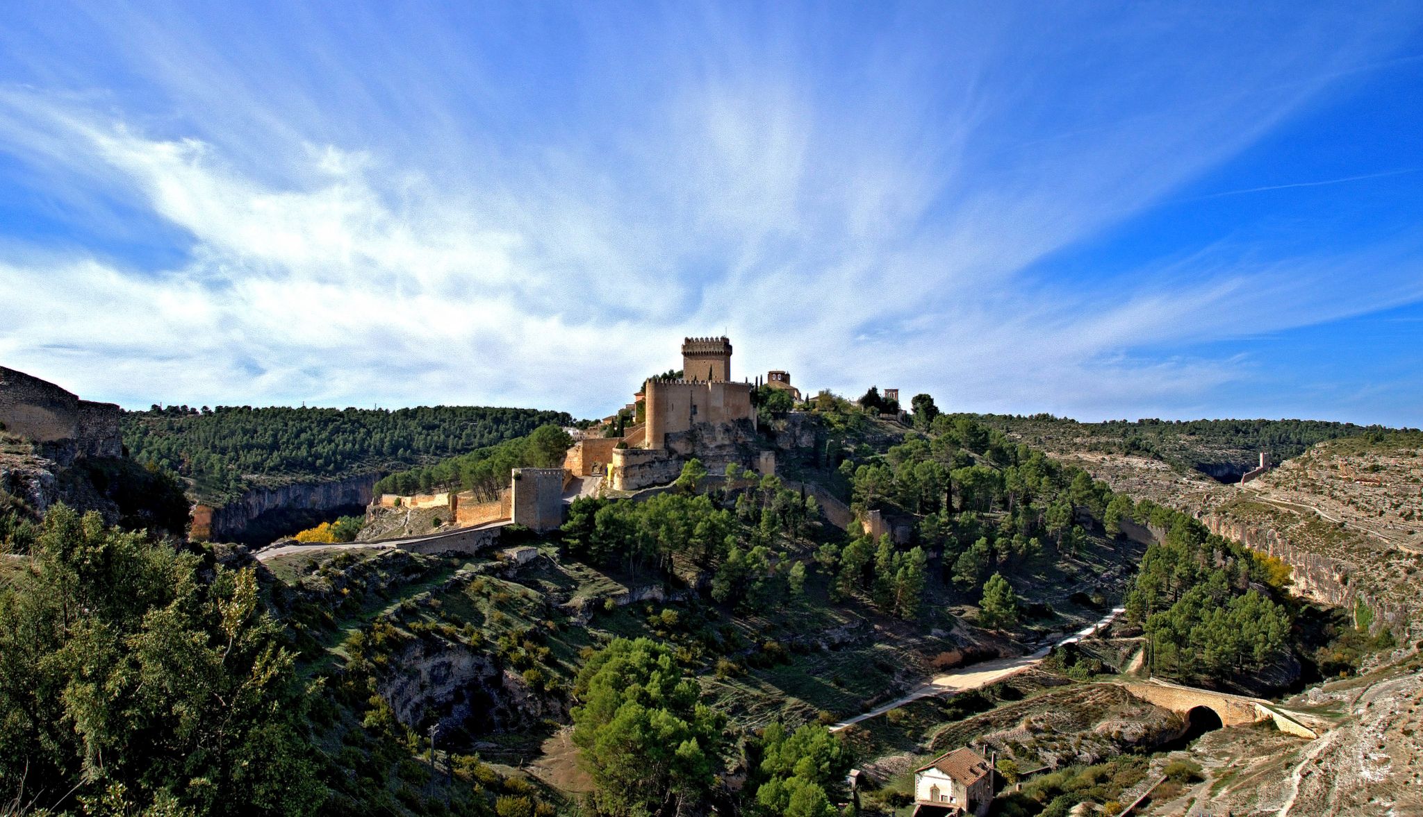
It is a charming town located on the side of a hill, which is guarded by its castle on top and protected by the Cabriel River. Here you can enjoy two very popular Routes: Los Cuatro Ríos and Las Chorreras del Cabriel.
0
1

Cardenete is a town located between two rivers, the Río Cabriel and the Río Guadazaón. At the top of the town is the Castle of Cardenete where you can still see its walls.
0
0
Beautiful town located at the foot of the Río Cabriel, before reaching the Contreras Reservoir. The center is located at the bottom of a valley in the middle of which is a hill where the old castle that bears the same name as the town is located. Surrounded by mountains and some river space for swimming.
0
0

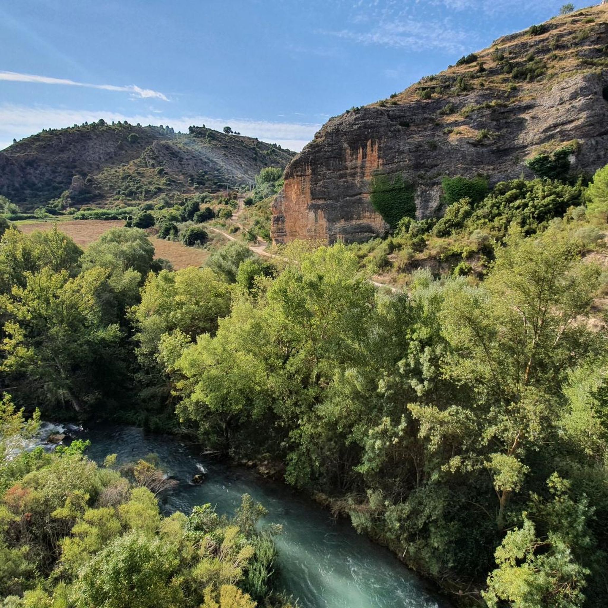
From the town of Enguídanos, the Cuatro Ríos trail will take us through a marvelous landscape crossing the 4 rivers that converge in these areas: the Cabriel, San Martín, Mira and Narboneta, all flowing into the Contreras reservoir. The total route is about 20 km, although shortcuts can be taken in several sectors to shorten the journey and vary the demand. Travel carefully and respecting others and the indications, the path is shared with hikers and is usually crowded, especially in the spring-summer months.
1
1
From the town of Enguídanos, the Cuatro Ríos trail will take us through a marvelous landscape crossing the 4 rivers that converge in these areas: the Cabriel, San Martín, Mira and Narboneta, all flowing into the Contreras reservoir. The total route is about 20 km, although shortcuts can be taken in several sectors to shorten the journey and vary the demand.
1
0
Frequently Asked Questions
How many running routes are available in Paracuellos?
There are 9 dedicated running routes around Paracuellos de Jarama on komoot, offering a range of experiences for different fitness levels. These include both moderate and difficult options.
What kind of terrain can I expect on the jogging trails in Paracuellos?
The running trails in Paracuellos de Jarama feature a diverse range of terrain. You can expect serene riverside paths along the Jarama River, routes traversing agricultural fields, and elevated sections that provide panoramic views. Some paths may also lead through areas with scattered trees and barrancos (ravines).
Are there any easy running routes for beginners in Paracuellos?
While the guide primarily features moderate to difficult routes, the network of trails in Paracuellos is designed to accommodate varying fitness levels. For a moderate option, consider the Running loop from Campillo de Altobuey, which covers 5.4 km with a manageable elevation gain of 38 meters.
Which running routes offer the best scenic views in Paracuellos?
Paracuellos is known as 'El Balcón de Madrid' (Madrid's Balcony) due to its elevated position. Routes that incorporate higher ground will offer spectacular panoramic views, including the Madrid skyline. The Jarama River also provides tranquil scenery with lush vegetation and diverse birdlife along its banks.
Are there any circular running routes in the area?
Yes, many of the running routes in Paracuellos de Jarama are circular. For example, the Sendero de los Cuatro Ríos – circular from Enguídanos to Cabeza Moya is a challenging 11.3 km loop, and the Sendero de los Cuatro Ríos – short loop from Enguídanos is a 7.0 km circular trail.
What natural features or landmarks can I see while running in Paracuellos?
Along the running routes, you can experience the natural beauty of the Jarama River and its riverside paths. A notable natural feature is 'La Ducha de los Alemanes,' a small waterfall. You might also encounter the recreational area 'El Cervellón' by the river. For historical landmarks, consider visiting Paracuellos Castle or the charming settlement of Enguídanos.
Are there any long-distance running trails for experienced runners?
Yes, for experienced runners seeking a longer challenge, the Sendero de los Cuatro Ríos – circular from Enguídanos to Cabeza Moya is a difficult 11.3 km route with an elevation gain of 232 meters. Another demanding option is the View of the River loop from Enguídanos, which spans 13.1 km with a significant elevation gain of 307 meters.
What do other runners enjoy most about jogging in Paracuellos?
Runners often praise the diverse natural landscapes, from serene riverside paths to elevated routes with panoramic views. The network of trails, which recovers traditional paths, is appreciated for offering educational, recreational, and sporting activities. The variety of terrain and the opportunity to explore the natural beauty of the Jarama River are frequently highlighted.
Are the running trails in Paracuellos suitable for families?
The municipality has developed a network of trails designed to offer recreational activities, making them suitable for various users. While some routes are classified as difficult, there are moderate options that families might enjoy. It's advisable to check the specific route details, including distance and elevation, to ensure it matches your family's fitness level.
Is there parking available near the running routes in Paracuellos?
The municipality actively promotes its natural spaces and trails, which often includes considerations for access. While specific parking details for each route are best checked on individual komoot tour pages, generally, areas popular for outdoor activities like the Jarama River paths or trailheads within the 'Red de Senderos' network would have designated or informal parking options.
Can I bring my dog on the running trails in Paracuellos?
Many natural areas and trails in Spain are dog-friendly, especially if dogs are kept on a leash. Given Paracuellos's focus on promoting its natural spaces for outdoor activities, it's likely that dogs are permitted on most trails. However, always ensure your dog is under control and check for any specific local regulations or signage on individual routes.
Are there any routes that pass by waterfalls or unique water features?
Yes, the Jarama River is a significant natural feature in the area. Along its paths, you can find 'La Ducha de los Alemanes,' a small waterfall set in an impressive natural environment. The recreational area 'El Cervellón' also highlights the river's presence, offering a tranquil setting for your run.
Most popular routes around Paracuellos
Most popular attractions around Paracuellos

Get inspired with the komoot mobile app


Explore more
Browse the best Running Trails & Routes in other regions.
