The 8 Most Amazing Peaks around Albatera
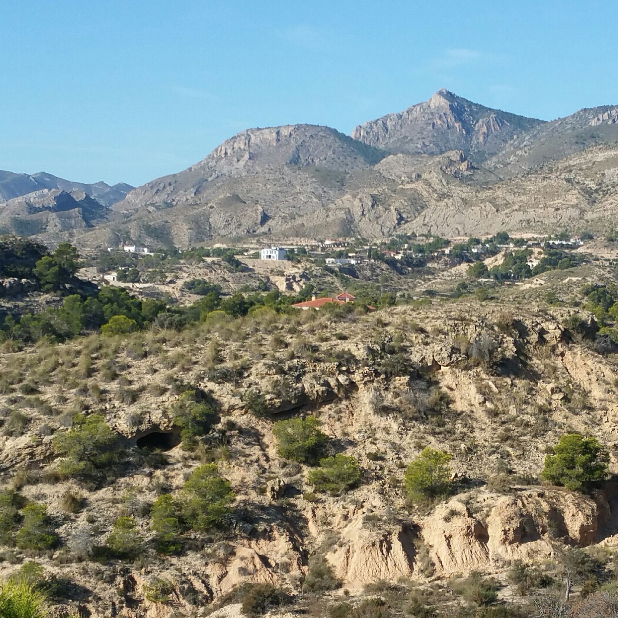
Best mountain peaks around Albatera are found within the Sierra de Crevillente, a mountain range in the province of Alicante, Spain. This region offers diverse natural landscapes, including rugged peaks and valleys. It provides various hiking opportunities and scenic vistas for outdoor enthusiasts. The area features a network of trails catering to different fitness levels.
Best mountain peaks around Albatera
- The most popular mountain peaks is Cruz de la Muela, a summit that rises about 465 metres above sea level and is the most popular mountain of the Sierra de Orihuela. This peak offers superb views over Orihuela and Redovan.
- Another must-see spot is La Vella Antennas, a viewpoint par excellence in the Sierra de Crevillent. Visitors can find the best views by navigating around the antennas.
- Visitors also love Alt de Sant Juri Summit, a summit that is 812 meters high. This peak offers magnificent views of the great rocky walls that rise above the Anouers ravine.
- Albatera is known for summits, viewpoints, and trails of varying difficulty. The region offers a variety of mountain peaks to see and explore, from intermediate routes to challenging climbs.
- The mountain peaks around Albatera are appreciated by the komoot community. There are 33 photos and 103 upvotes for highlights in this area.
Last updated: October 2, 2026
Cruz de la Muela
Highlight • Summit
Translated by Google •
Tip by

La Vella Antennas
Highlight • Viewpoint
Translated by Google •
Tip by

Sign up now to discover places like this
Get recommendations on the best single tracks, peaks, & plenty of other exciting outdoor places.
Alt de Sant Juri Summit
Highlight • Summit
Translated by Google •
Tip by

Pico del Águila
Highlight • Summit
Translated by Google •
Tip by
Pico de Sant Gaita
Highlight • Summit
Translated by Google •
Tip by

Sign up for free to discover even more peaks around Albatera.
Already have an account?
Start today with a free account
Your next adventure awaits.
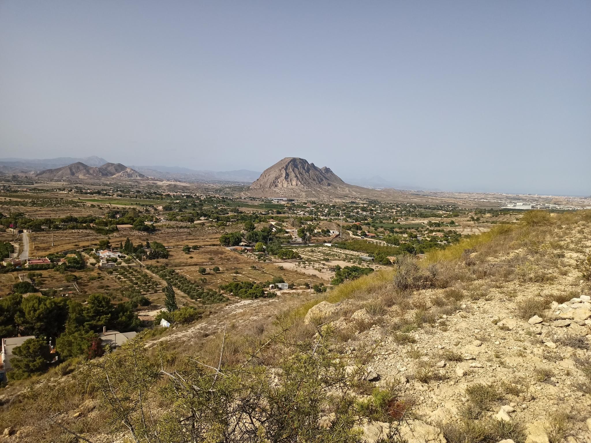
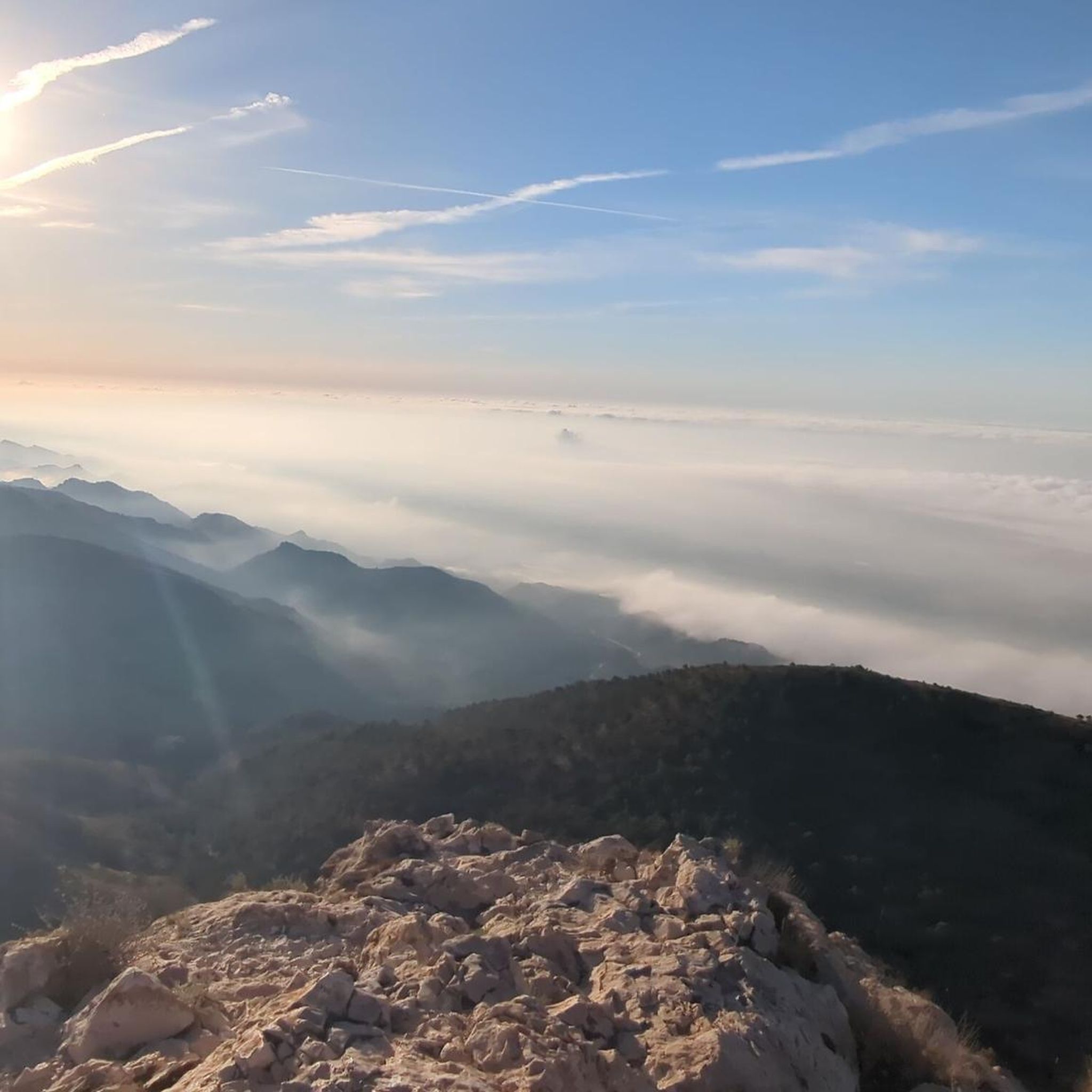
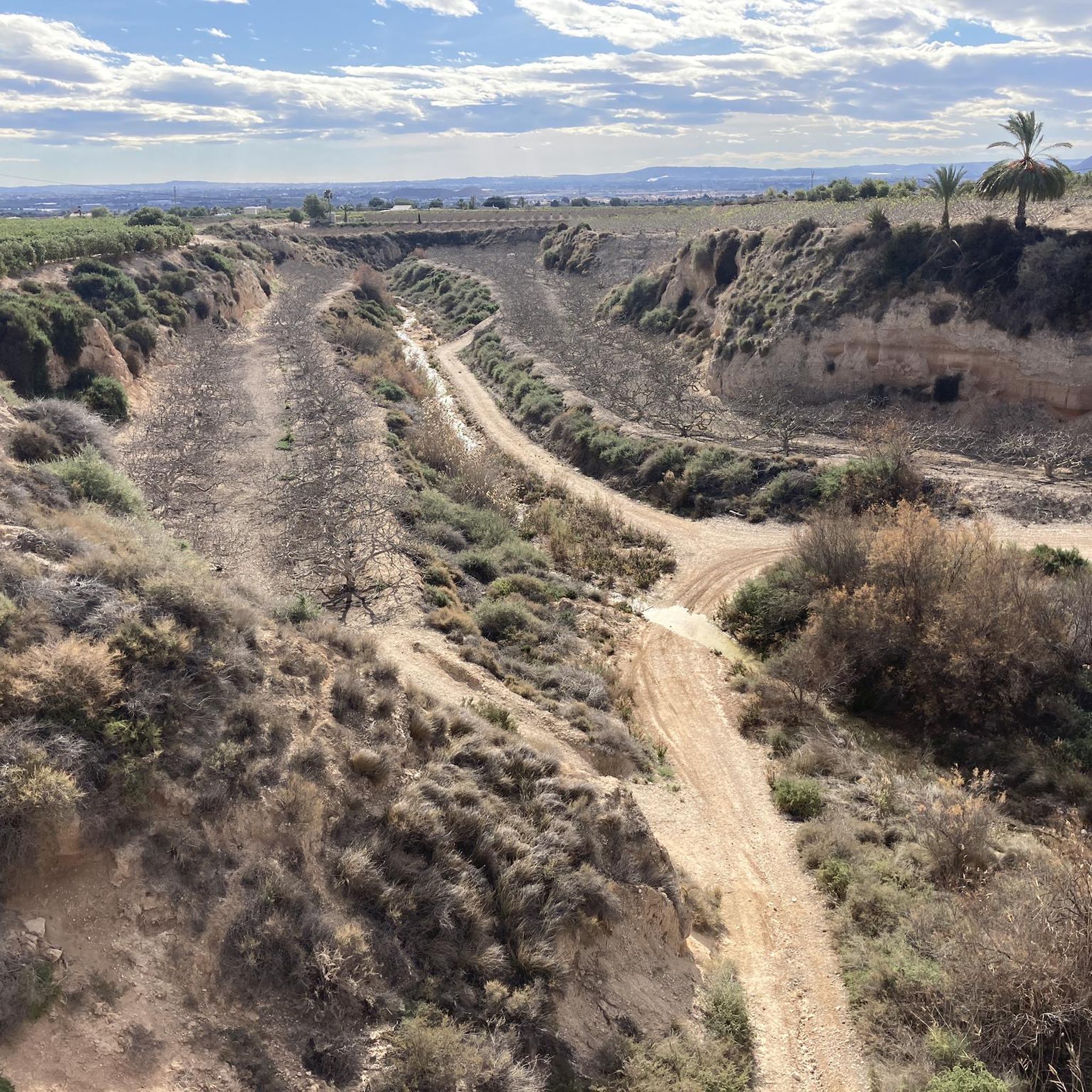


Other adventures around Albatera

Tips from the Community

Take note of the No Entry due to wild boar hunting. I had to make a detour from my planned route along the ridge to the viewpoint.
0
0

The highly visible colossal Iron Cross, Cruz de la Muela rises about 465 metres above sea level and is the most popular mountain of the Sierra de Orihuela,
8
1


The local mountain at 818 meters above sea level. A wonderful place to enjoy the sunrise in the winter months. Fantastic views of the surrounding mountains. Can be reached in just over an hour from the Erimita car park.
0
0

The Alt de Sant Juri is 812 meters high. This peak offers magnificent views of the great rocky walls that rise above the Anouers ravine.
2
0

The ascent to the Cruz de la Muela de Orihuela can be done from several points, since there are routes of different levels of difficulty and duration.
17
1

we had breakfast here when the sun came up.... it doesn't get any better than that
2
1

Viewpoint par excellence in the Sierra de Crevillent. Look for the best view avoiding the antennas, you won't regret it!
2
0
Frequently Asked Questions
What are some of the most popular mountain peaks to visit around Albatera?
Among the most popular peaks, you'll find Cruz de la Muela, which offers superb views over Orihuela and Redovan. Another highly appreciated spot is Alt de Sant Juri Summit, standing at 812 meters with magnificent views of the Anouers ravine. For panoramic vistas within the Sierra de Crevillent, La Vella Antennas is a viewpoint par excellence.
Are there any challenging mountain climbs for experienced hikers in the Albatera area?
Yes, for those seeking a demanding climb, Pico del Águila is a favorite among hikers. It offers a challenging ascent rewarded with incredible views from the top.
What kind of natural features and wildlife can I expect to see in the mountains around Albatera?
The Sierra de Crevillente, which encompasses the peaks around Albatera, boasts diverse natural landscapes including rugged peaks, lush valleys, and unique rock formations. Hikers often spot local wildlife such as wild goats and eagles, especially around Cima del Picacho.
Are there family-friendly hiking trails in the Albatera mountains?
While many trails offer varying difficulties, the Sierra de Crevillente has a network of paths suitable for different fitness levels. For an easier option, consider routes like the 'Las Ventanas Rock Formation – Stone Aqueduct loop' from Lo Porta, which is rated as easy. Always check specific route details for suitability for your family.
What historical sites can be found within the Sierra de Crevillente?
The Sierra de Crevillente has historical significance, with evidence of ancient habitation including cave paintings and ruins. A notable site is the Cueva de Jaime el Barbudo (Jaime el Barbudo's Cave), which can be accessed via a hiking route within the range.
What are the best times to visit the mountain peaks around Albatera for hiking?
Given that some sections, like the path to Alt de Sant Juri Summit, run through sun-exposed areas, it's best to visit on less hot days or early in the morning, especially during warmer seasons. Spring and autumn generally offer more comfortable temperatures for hiking.
What outdoor activities, besides peak bagging, can I do near Albatera's mountains?
Beyond reaching summits, the area offers a variety of outdoor activities. You can explore numerous running trails, including challenging loops like the 'La Vella Summit loop from Merendero de La Palaya'. Gravel biking is also popular, with routes such as the 'San Cayetano Parish – Sierra de Crevillente loop'. For more options, check out the Running Trails around Albatera and Gravel biking around Albatera guides.
Are there specific hiking routes that lead to Cima del Picacho?
Yes, Cima del Picacho (also known as Picatxo or San Cayetano) can be reached via several hiking routes. A popular option is a circular trail that starts from Puerto de Albatera. Another alternative is the 'Els Anouers (PR-CV 110)' circular route, which also leads to Picacho from the Recreational Area of San Cayetano.
Where can I find detailed hiking routes for the Sierra de Crevillente?
The Sierra de Crevillente features an extensive network of hiking trails. Notable routes include the PR-CV 104, a 12-kilometer circular trail, and the 'Senda Dolça Trail (PR-CV 109)', which is an 8.4-mile route offering panoramic views from Pico La Vella. For a comprehensive list of trails, refer to the Hiking around Albatera guide.
What do visitors enjoy most about the mountain peaks and trails in Albatera?
Visitors particularly appreciate the magnificent panoramic views from summits like Cima del Picacho and Alt de Sant Juri Summit. The tranquility of the untouched landscapes, the diverse hiking opportunities, and the chance to observe local wildlife also contribute to a highly valued experience.
Is it possible to reach La Vella Antennas by road bike?
While La Vella Antennas is a prominent viewpoint, some visitors inquire about road access. It's generally possible to go up on the road, but specific conditions for road bikes should be verified depending on the exact route chosen.
What should I bring when hiking to peaks like Pico La Vella?
When hiking to peaks such as Pico La Vella, it is highly recommended to bring plenty of water, as there are no natural water sources along the way. The path is generally well-marked and in good condition, but proper hydration is crucial.
Most popular routes around Albatera
Most popular attractions around Albatera

Get inspired with the komoot mobile app


Explore more
See even more amazing summits around Albatera with these guides:
